The best road cycling routes around Los Tojos
4.0
(3)
912
riders
14
rides
Road cycling routes around Los Tojos traverse a landscape characterized by mountainous terrain and deep valleys. The region features significant elevation changes, with routes often climbing through passes and along ridges. Dense forests and open pastures define much of the scenery, offering varied backdrops for road cyclists. The area provides a challenging environment for those seeking demanding ascents and descents.
Best road cycling routes around Los Tojos
- The most popular road cycling route is Piedrasluengas and Collado de Hoz Loop…
Last updated: October 7, 2026
5.0
(1)
286
riders
105km
05:55
2,350m
2,360m
The Piedrasluengas and Collado de Hoz loop immerses you in the majesty of the Cantabrian Mountains, offering a road cycling experience with breathtaking landscapes. From the panoramic views at the…
114
riders
73.3km
04:03
1,290m
1,290m
Hard road ride. Very good fitness required. Mostly well-paved surfaces and easy to ride.

84
riders
54.5km
02:25
510m
510m
Moderate road ride. Good fitness required. Mostly well-paved surfaces and easy to ride.
42
riders
73.8km
04:32
1,750m
1,750m
Hard road ride. Very good fitness required. Mostly well-paved surfaces and easy to ride.
3.0
(1)
19
riders
Moderate road ride. Good fitness required. Mostly well-paved surfaces and easy to ride.
Get access to more routes and recommendations from other explorers.
Already have an account?
Our route recommendations are based on thousands of hikes, rides, and runs completed by other people on komoot.
Start today with a free account
Your next adventure awaits.

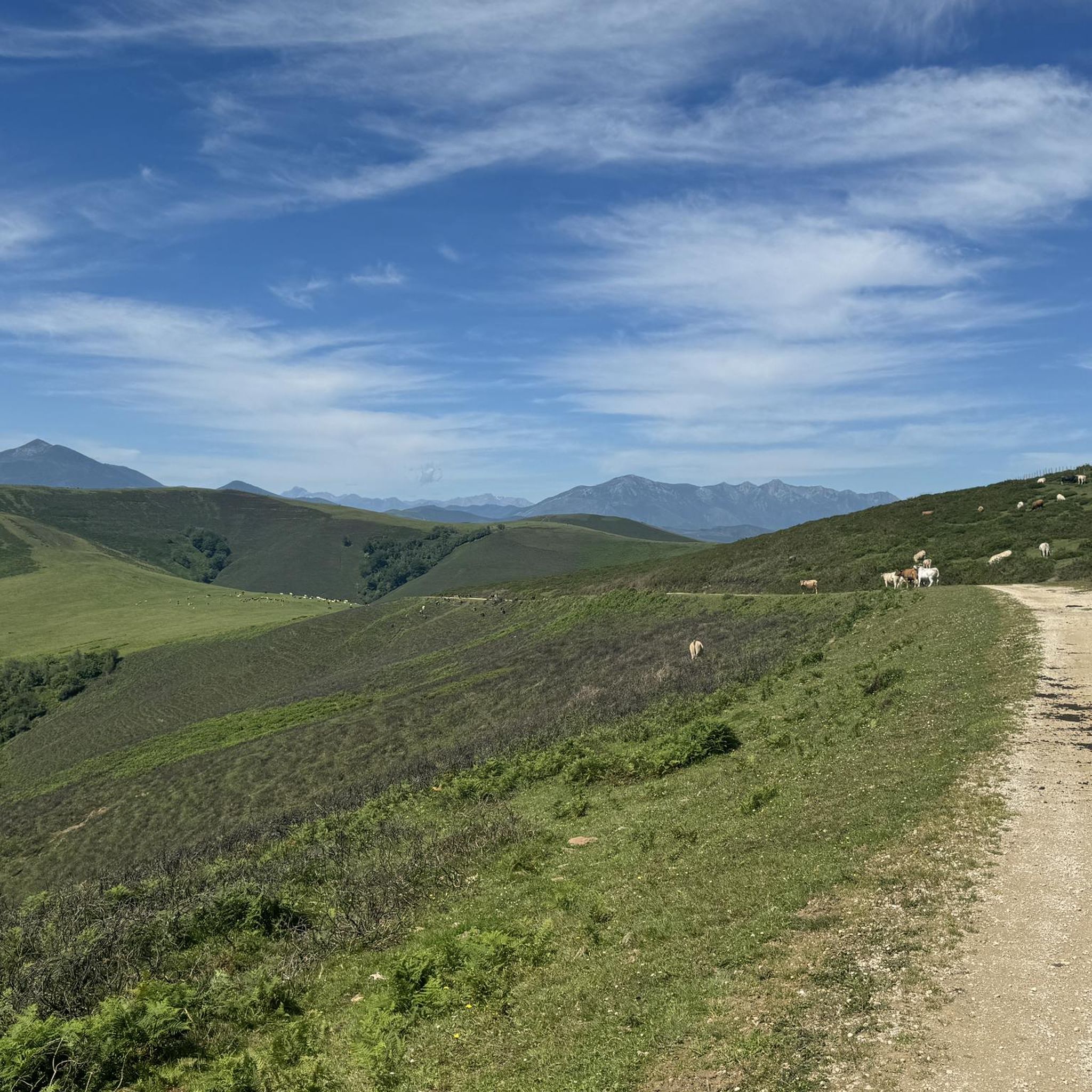
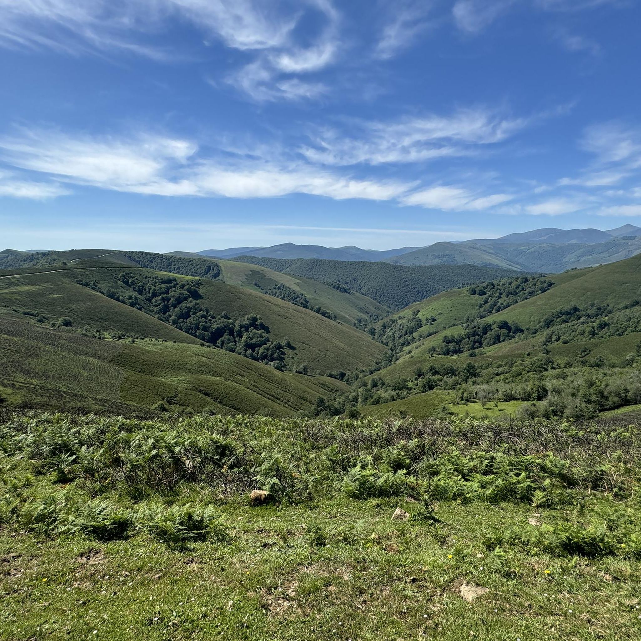
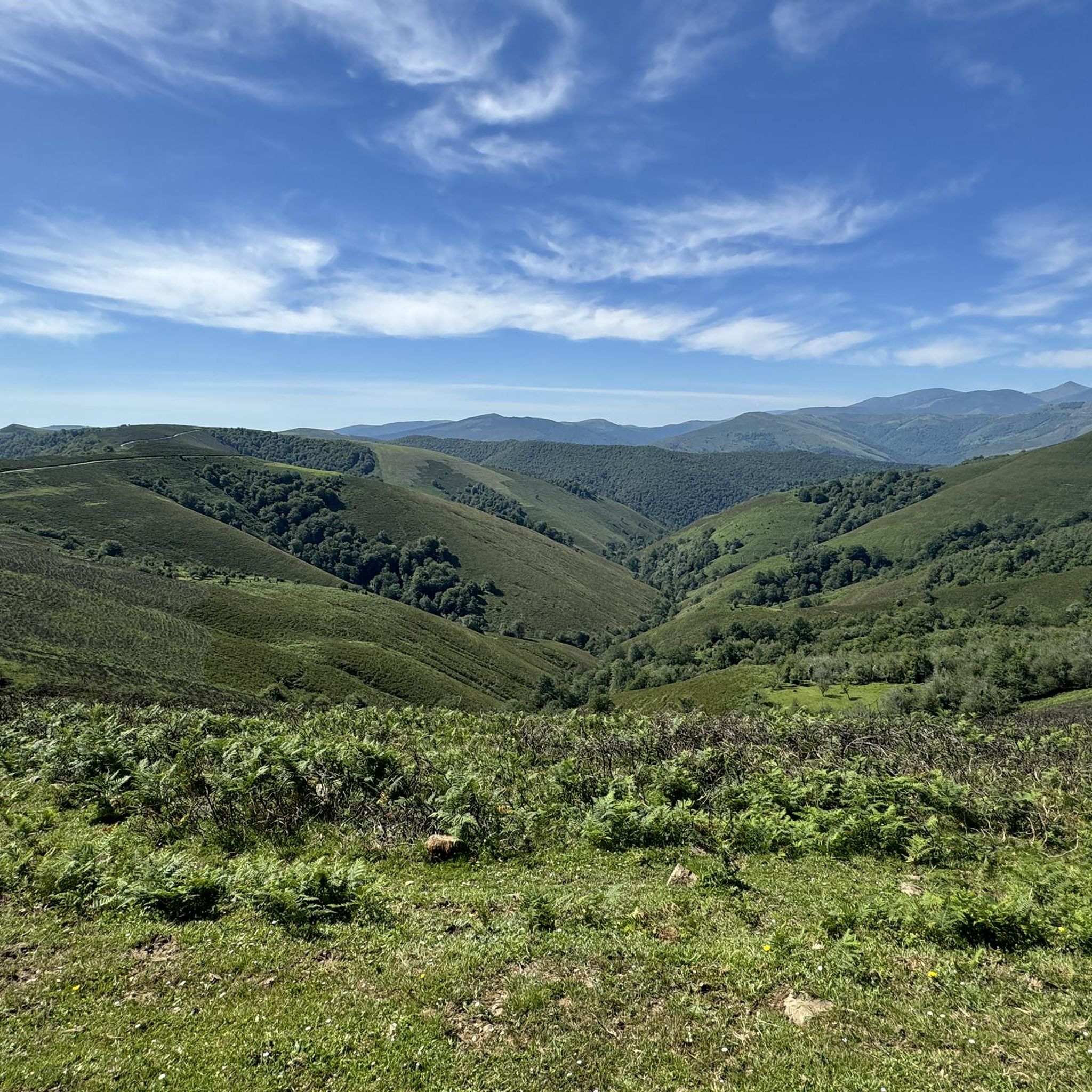
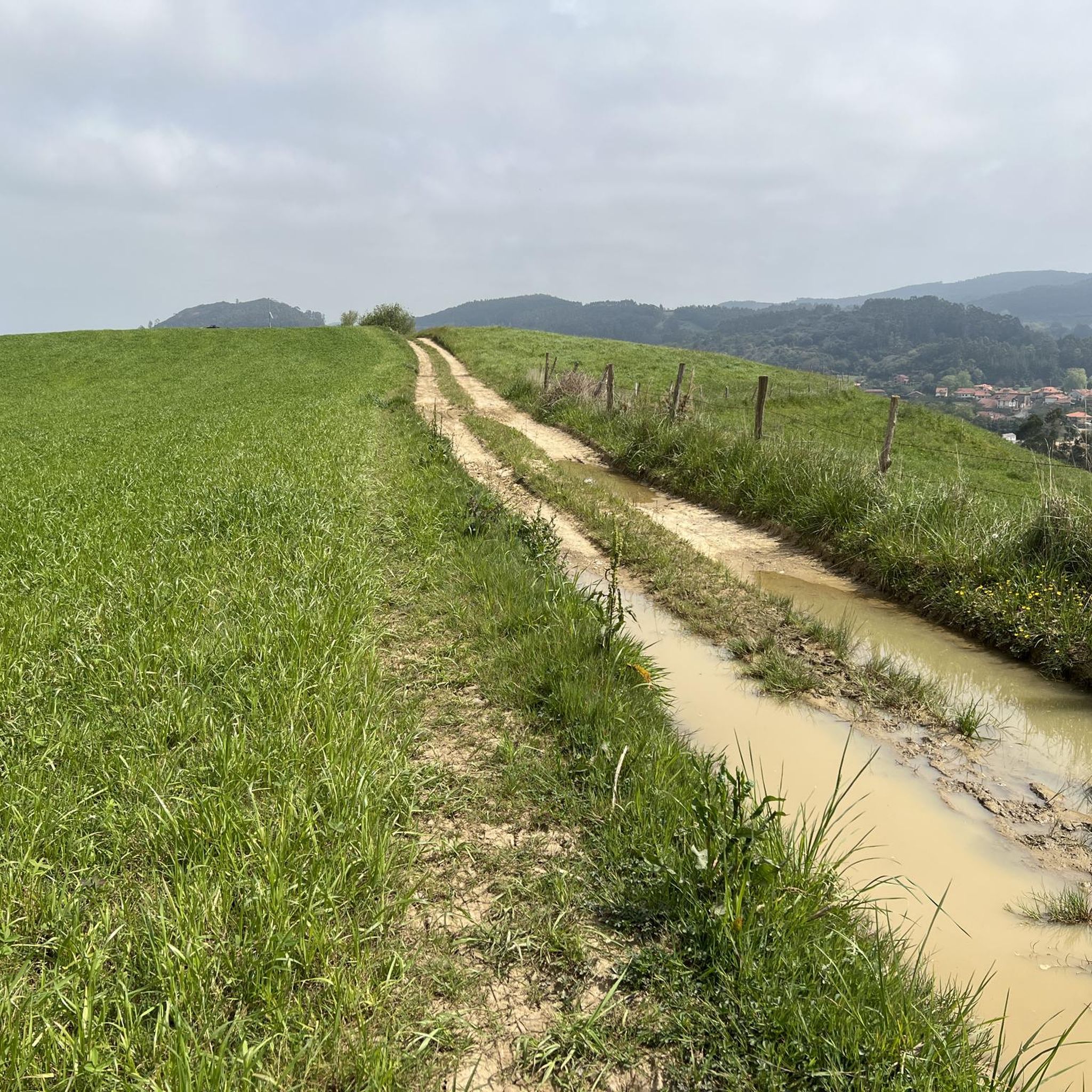
Other adventures around Los Tojos

Tips from the Community

Whenever I pass by here, even by car, I take a look at this beautiful bridge.
1
0

You can climb from Cieza or Los Llares. The road is dirty and somewhat broken through Cieza (be careful when descending on a road bike).
0
0

Located in the La Serna de Iguña neighborhood, in this chapel dedicated to Saint Anthony Abbot, the Octave of Corpus Christi is celebrated. The neighborhoods that make up La Serna are Corral Mayor, Corral de Abajo, Pilipapo or Ribero, and Elecha or Helecha. There is a place known as San Vitores which denotes its previous religious dedication to the aforementioned Saint.
0
0
The San Andrés Bridge is in Somahoz (Los Corrales de Buelna) over the Besaya River, which gives access to the San Andrés neighbourhood. It is divided into a narrow lane for vehicles and a pedestrian crossing, and from it we see a railway bridge that we have to go under to enter the neighbourhood. And that railway bridge (or overpass) that we crossed is part of the historic "Ferro-carril de Isabel II" (Isabel II Railway) that began to be built in the mid-19th century with the project of joining the towns of Alar del Rey with Santander and whose section from Bárcena de Pie de Concha to the Cantabrian capital must have been finished in 1858.
0
0
The Casa Palacio that the Ceballos had in Barros is today owned by Mr. Herrero and Mr. Martínez de Azcoitia. It is a beautiful mountain architectural complex with a portal between cylindrical cubes, a typical mansion and a chapel. It was restored a few years ago by the current owners who have managed to give its interior a stately and period atmosphere. It dates back to the beginning of the 18th century.
1
0
Giant Barros Stele: Located in the town of Barros, municipality of Los Corrales de Buelna, Cantabria. The Cantabrian Steles found next to the hermitage of the Virgen de la Rueda, in the town of Barros, and the two found in the Lombera neighbourhood, are displayed in a permanent exhibition next to the aforementioned hermitage in what is known as the Parque de las Estelas de Cantabria. These are circular pieces that preserve the base pier, 0.80 metres wide, for vertical placement. The largest one (Barros II), between 2.15 and 2.46 metres in diameter and weighing 3,000 kilos, was found in fragments in 1977 between the walls of the chapel of Nuestra Señora de la Rueda de Barros and was rebuilt in 1999. The Cantabrian stele known as Barros I, also called the Wheel of Santa Catalina or the Wheel of the Virgin, is smaller in size, but its dimensions are still spectacular: 1.75 metres in diameter and 32 centimetres thick. Made of sandstone, easy to work, like the previous one, it has a geometric decoration. Although interpreted by some as religious or funerary testimonies, the steles displayed in the Parque de las Estelas de Cantabria continue to offer researchers numerous questions about their functionality and chronology. There is a possibility that they may belong to the Roman period or even later. They were declared a Site of Cultural Interest in 1985 and since then their image has been part of the coat of arms of Cantabria. Information from: https://www.cantabriarural.com/lugares-de-interes/parque-de-las-estelas-de-cantabria.html
0
0

At the beginning of the San Andrés neighbourhood, in Somahoz, the views upstream from the Besaya are beautiful. This is the starting point for several routes.
1
0
Frequently Asked Questions
How many road cycling routes are available around Los Tojos?
There are over 10 road cycling routes around Los Tojos, offering a variety of experiences from easy to difficult. The region's mountainous terrain ensures diverse options for all skill levels.
Are there any easy or beginner-friendly road cycling routes in Los Tojos?
While Los Tojos is known for its challenging terrain, there is at least one easy road cycling route available. Most routes, however, are classified as moderate or difficult due to significant elevation changes.
What are some of the more advanced road cycling routes in Los Tojos?
Los Tojos offers several challenging routes for experienced cyclists. The Piedrasluengas and Collado de Hoz Loop is a difficult 65.2-mile route with significant climbs. Another demanding option is the Collada de Carmona – Palombera Pass loop from Castillo de San Vicente, which covers 51.8 miles through mountainous terrain including the Palombera Pass.
What is the longest road cycling route in the Los Tojos area?
The longest road cycling route in the area is the Piedrasluengas and Collado de Hoz Loop, stretching 65.2 miles (105 km). This difficult route typically takes around 5 hours and 55 minutes to complete, featuring substantial ascents.
Are there any circular road cycling routes around Los Tojos?
Yes, many of the road cycling routes in Los Tojos are designed as loops. Examples include the Piedrasluengas and Collado de Hoz Loop and the Palacio de los Hornillos – Alto de Brenes loop from Bárcena, which offer varied landscapes and challenging climbs.
What kind of attractions can I see along the road cycling routes in Los Tojos?
Along the routes, you can discover various natural and cultural attractions. Highlights include the scenic El Moral Plateau, the historic village of Bárcena Mayor, and the unique Fallen Oak of Brujilices. You might also pass by the Source of the Ebro River.
What is the best time of year for road cycling in Los Tojos?
The best time for road cycling in Los Tojos is generally from late spring to early autumn. During these months, the weather is milder, and mountain passes are typically clear of snow. Winter conditions can make many routes challenging or impassable due to snow and ice at higher elevations.
Are there road cycling routes in Los Tojos that pass by cafes or places to refuel?
Given the region's rural and mountainous nature, specific routes passing directly by numerous cafes are not explicitly highlighted. However, routes often connect villages or towns where you can find local establishments to refuel. Planning your route with komoot allows you to identify potential stops along the way.
What do other road cyclists enjoy the most about road cycling in Los Tojos?
The area is highly rated by the komoot community, with an average score of 4.5 stars from around 5 reviews. Reviewers often praise the challenging ascents, the stunning mountain scenery, and the quiet roads that traverse dense forests and open pastures.
Is public transport available to reach road cycling trailheads in Los Tojos?
Public transport options to specific trailheads in the mountainous Los Tojos region can be limited. It is advisable to check local bus schedules for connections to larger towns near the starting points of routes. Many cyclists opt to drive to their chosen trailhead.
Where can I find parking for road cycling routes in Los Tojos?
Parking is generally available in the villages and towns that serve as starting points for the routes, such as Bárcena or Castillo de San Vicente. Look for designated parking areas or inquire locally upon arrival. Always ensure you park responsibly and legally.
Can I expect to see wildlife on road cycling routes in Los Tojos?
Cycling through the natural landscapes of Los Tojos, particularly within and around the Saja-Besaya Natural Park, offers opportunities to observe local wildlife. You might encounter various bird species, deer, or other forest animals, especially during quieter times of the day.
Most popular attractions around Los Tojos

Get inspired with the komoot mobile app


Explore more
Browse the best Road cycling routes in other regions.
