The best walks and hikes around South Arran Marine Protected Area
4.6
(663)
5,239
hikers
25
hikes
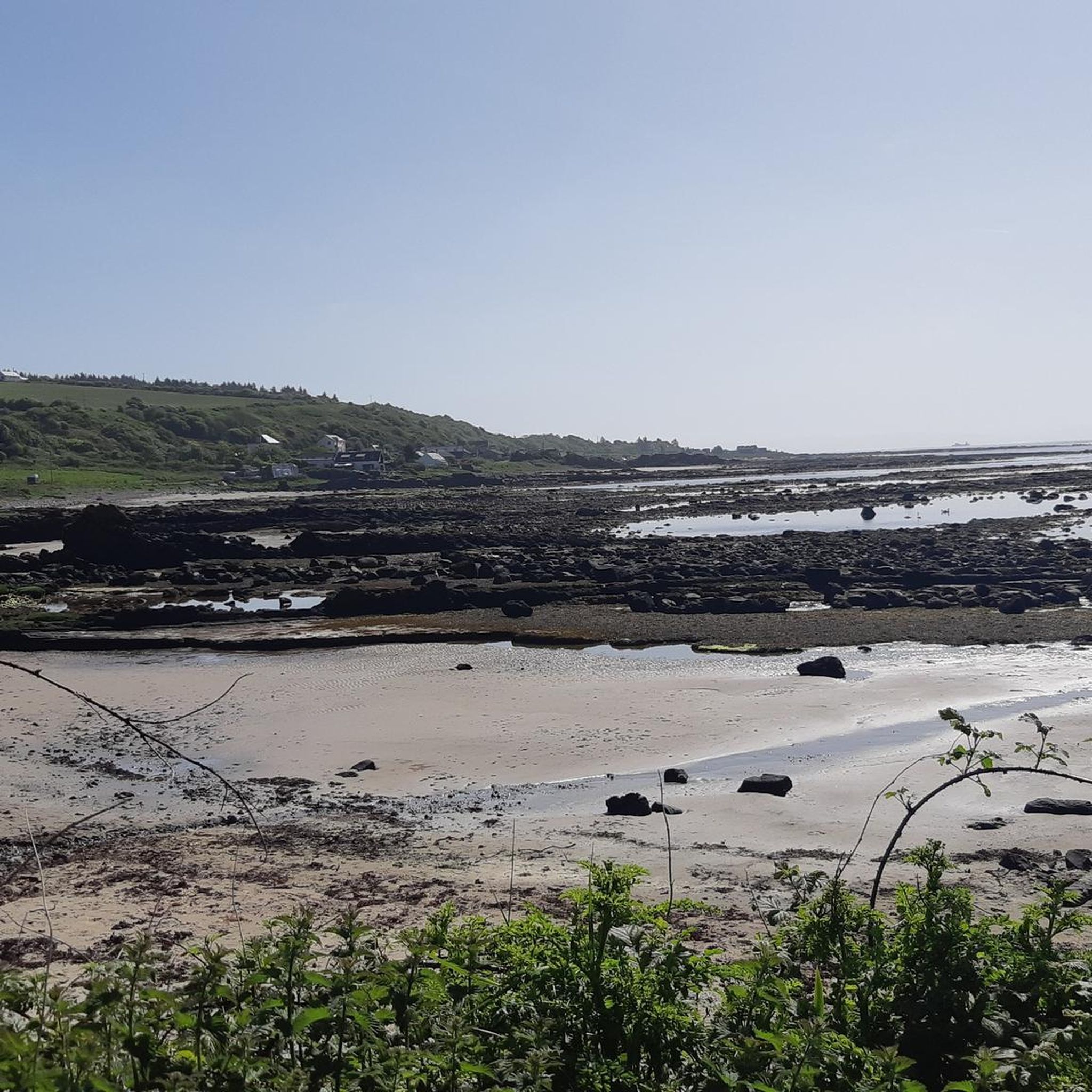
Hiking trails around South Arran Marine Protected Area offer a diverse range of landscapes, from coastal paths to inland forests and hills. The region is characterized by its varied terrain, including sandy beaches, woodlands, and geological features that create a distinct contrast between granite and lower pastures. Hikers can explore routes that provide panoramic views of the sea, nearby islands, and impressive waterfalls, catering to various skill levels.
Best hiking trails around South Arran Marine Protected Area
- The most popular…
Last updated: August 3, 2026
4.8
(62)
442
hikers
5.89km
01:42
150m
150m
Embark on an easy hike along the Glenashdale Waterfall loop from Ashdale Bridge, a route that takes you through lush wooded glens and past impressive natural features. You will cover…
4.7
(37)
114
hikers
10.8km
03:00
200m
200m
Embark on a moderate hike from Blackwaterfoot to King's Cave, a route that blends coastal scenery with ancient history on the Isle of Arran. This 6.7-mile (10.8 km) trail, with…

Sign up for free
4.8
(12)
128
hikers
5.90km
01:40
130m
130m
Embark on an easy hiking adventure to the Iron Age Fort & Glenashdale Falls from Whiting Bay, a route that spans 3.7 miles (5.9 km) and involves a gentle ascent…
3.6
(5)
15
hikers
The Kildonan & Giants' Graves loop on the Isle of Arran offers a diverse hiking experience, combining woodland paths with open views to the sea. This moderate 9.5-mile (15.3 km)…
4.3
(4)
16
hikers
16.5km
04:12
60m
60m
Embark on a moderate hike along the Kildonan to Lagg section of the Arran Coastal Way, a diverse route spanning 10.2 miles (16.5 km) with an elevation gain of 187…
Get access to more routes and recommendations from other explorers.
Sign up for free
Already have an account?
Our route recommendations are based on thousands of hikes, rides, and runs completed by other people on komoot.
Start today with a free account
Your next adventure awaits.
Login or Signup
Popular around South Arran Marine Protected Area
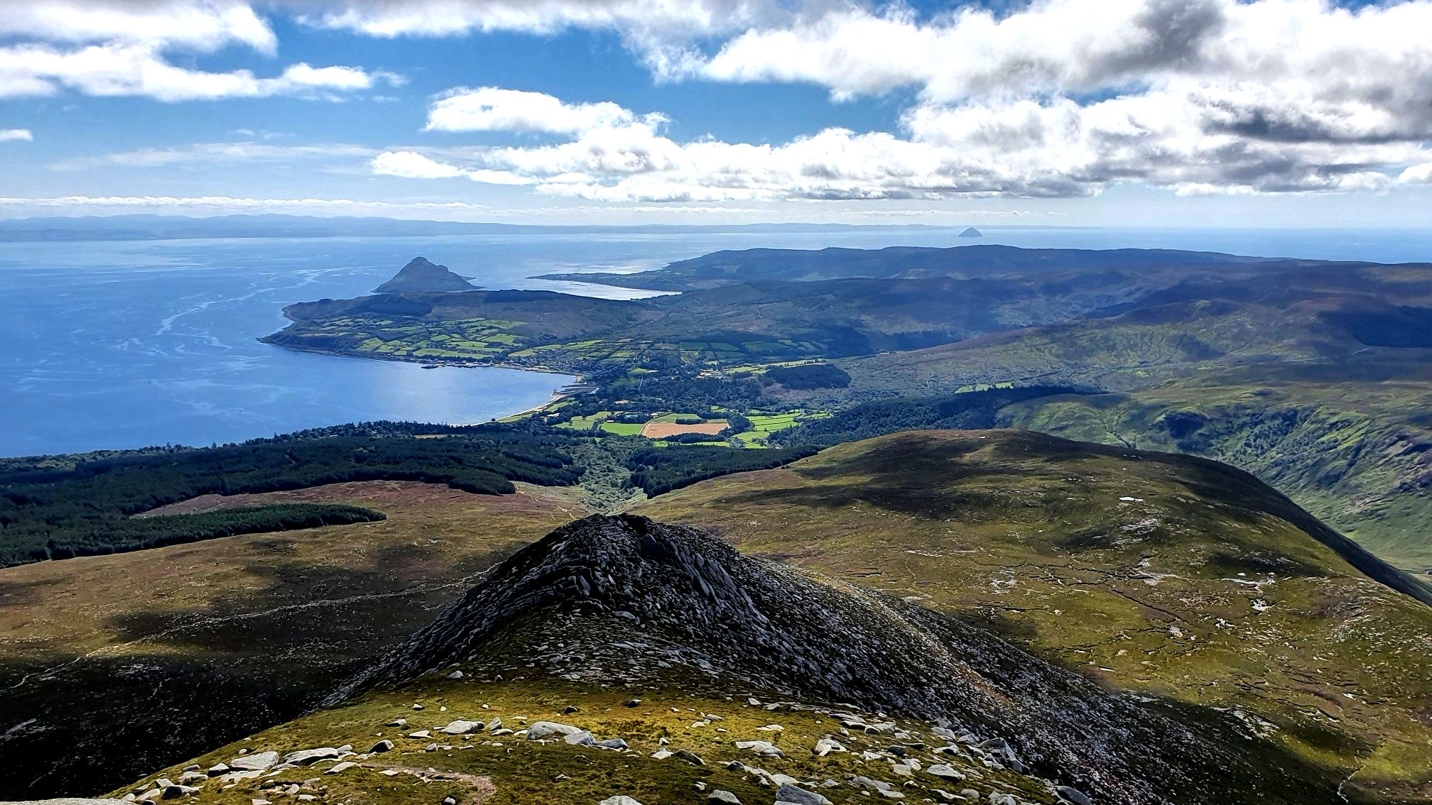
Arran Coastal Way — A breathtaking loop of 'Scotland in miniature'
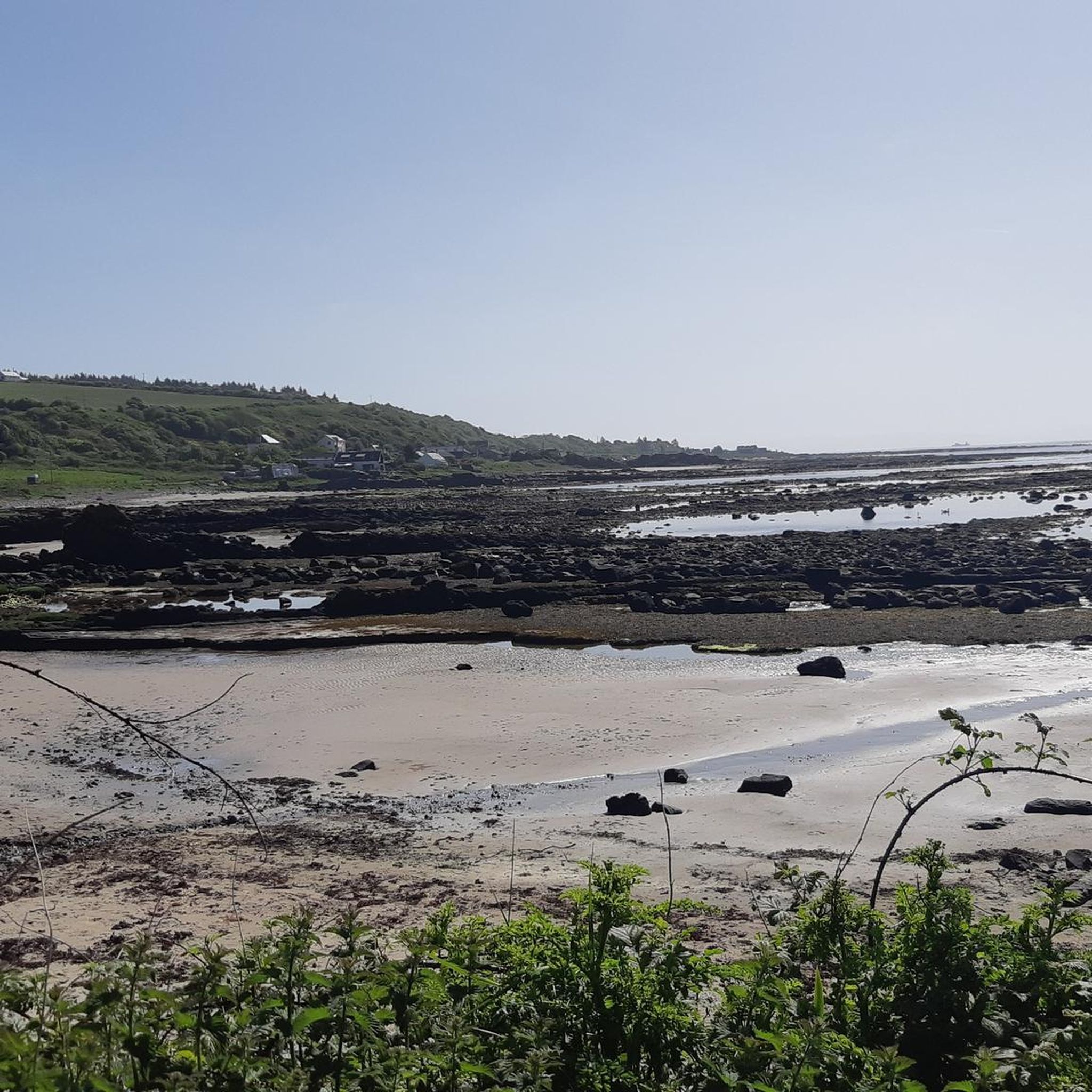
Road Cycling Routes around South Arran Marine Protected Area
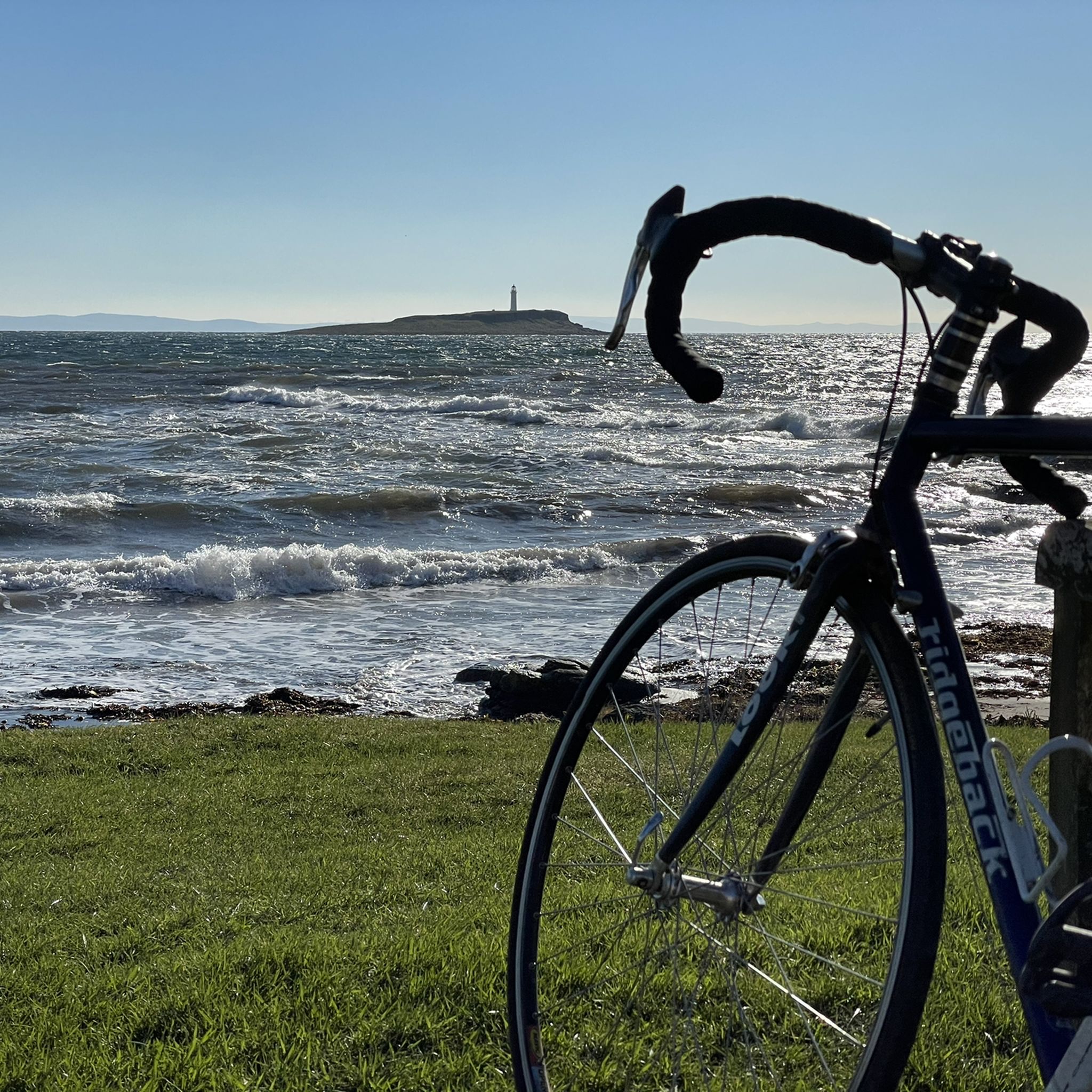
Cycling around South Arran Marine Protected Area
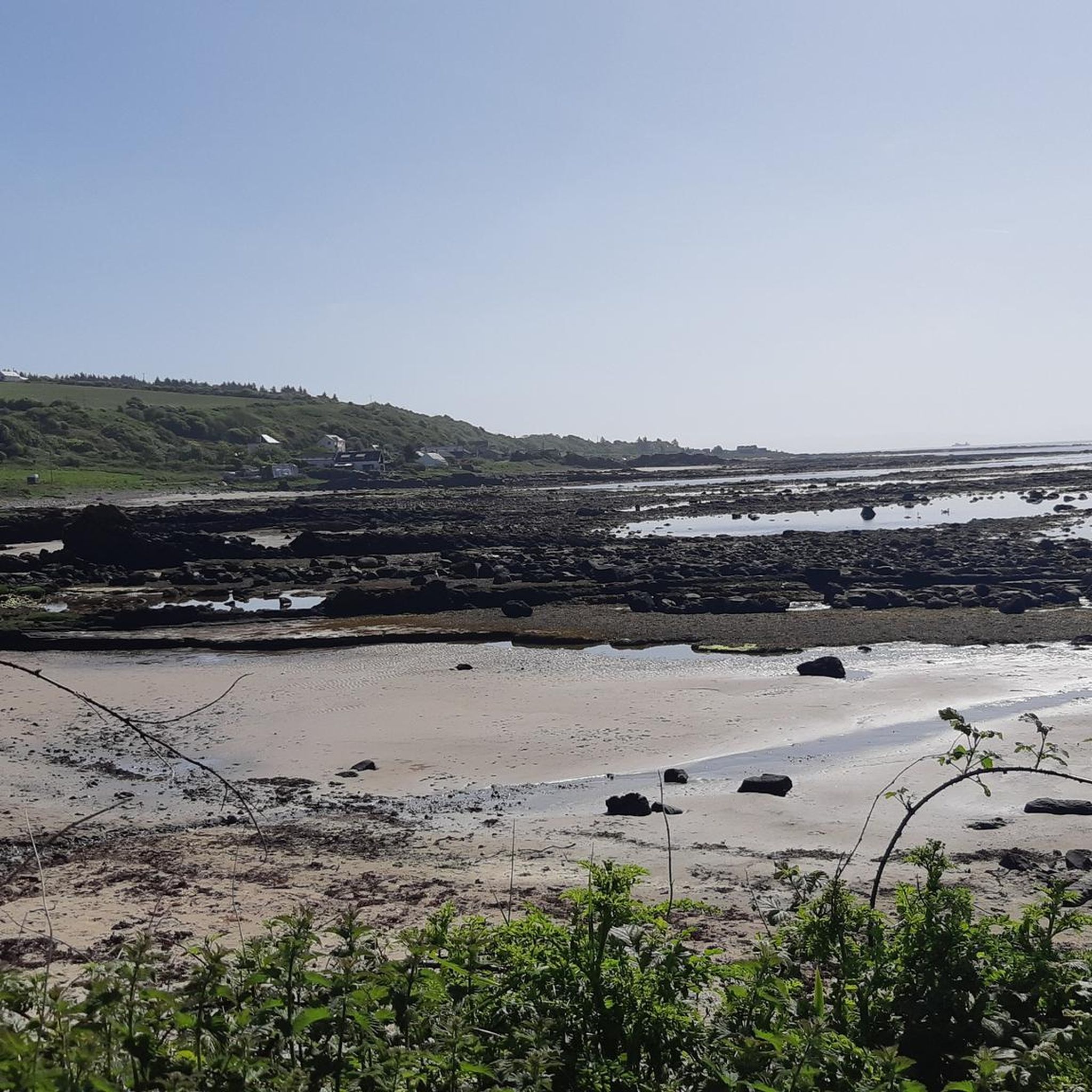
MTB Trails around South Arran Marine Protected Area

Gravel biking around South Arran Marine Protected Area
Running Trails around South Arran Marine Protected Area
Other adventures around South Arran Marine Protected Area

Tips from the Community

There are a number of quite big caves, the biggest being Kings Cave with it's ornate ironwork at the entrance. There is evidence of human occupation and activity going back thousands of years.
0
0
A fine view from the hill overlooking Machrie Bay, towards Mullach Buidhe.
0
0
Eas a' Chrannaig is the biggest and best waterfall on Arran!
0
0

If attempting to hike towards Glenashdale Falls - Left of loch, a lot of deforestation & uprooted trees blocking visibility/pathway. Unable to find much of a path without roughly following app but had to abandon once a path leading to Whiting Bay/Kildonan. Forest area was extremely soft moss/boggy. Don’t attempt besides enjoying the spot at the picnic part by the loch.
0
0


The last 500m to the Black Cave you have to climb over scree, you need good shoes and surefootedness! At the end you walk along the rock face, really not for a "walk"!
0
0

When it rains, the rain unfolds its mystical aura. Crossing the stream is also quite slippery. The rest of the path along the lake is also quite adventurous.
0
0

July 8: the trip went through a swamp. You can't get through without wet feet. Because everything is green, it is not visible where you can walk and where there are ditches. You fall through everything.
1
0
Frequently Asked Questions
How many hiking trails are available in the South Arran Marine Protected Area?
There are over 25 hiking trails in the South Arran Marine Protected Area, offering a diverse range of experiences. These include 11 easy routes, 11 moderate routes, and 3 more challenging treks, ensuring options for various skill levels.
Are there any easy, family-friendly hikes in the South Arran Marine Protected Area?
Yes, the area offers several easy routes suitable for families. An excellent option is the Glenashdale Waterfall loop from Ashdale Bridge, an easy 3.7-mile (5.9 km) trail that leads to impressive waterfalls. Another family-friendly choice is the Iron Age Fort & Glenashdale Falls from Whiting Bay, which also features waterfalls and woodlands.
Can I find circular walks in the South Arran Marine Protected Area?
Yes, there are several circular walks available. A notable moderate option is the Kildonan & Giants' Graves loop via The Library in the Woods — Isle of Arran, which offers a varied experience. The Glenashdale Waterfall loop from Ashdale Bridge is another popular circular route.
Are there hikes that feature waterfalls in this region?
Absolutely. The South Arran Marine Protected Area is known for its beautiful waterfalls. You can explore routes like the Glenashdale Waterfall loop from Ashdale Bridge or the Iron Age Fort & Glenashdale Falls from Whiting Bay, both of which lead to impressive falls.
What historical sites or landmarks can I explore while hiking?
The region is rich in history. You can visit the legendary King's Cave, said to have sheltered Robert the Bruce, or the ancient The Doon Hillfort. The Blackwaterfoot to King's Cave via The Doon Hillfort — Isle of Arran route combines both these historical points of interest.
What kind of views can I expect on hikes in the South Arran Marine Protected Area?
Hikers can enjoy diverse and panoramic views. Coastal paths offer breathtaking sea vistas, including views of Pladda Island and Ailsa Craig from Kildonan Beach (View of Pladda Island and Ailsa Craig from Kildonan Beach). You can also find beautiful perspectives across Arran and the Firth of Clyde, such as the View of Holy Isle.
Are there any coastal hiking trails in the area?
Yes, the South Arran Marine Protected Area features numerous coastal paths. These trails wind along the shoreline, offering stunning sea views. An example is the Kildonan to Lagg via Arran Coastal Way, which provides a scenic coastal experience.
What do other hikers say about the trails in South Arran Marine Protected Area?
The trails in the South Arran Marine Protected Area are highly regarded by the komoot community, with an average score of 4.6 stars from over 370 reviews. Hikers frequently praise the diverse terrain, from coastal beauty to lush forests, and the well-maintained paths that lead to impressive natural features like waterfalls and historical sites.
Is there a visitor center or educational facility related to the marine protected area?
Yes, the COAST Discovery Centre in Lamlash is Scotland's first community-led Marine Protected Area visitor center. It offers exhibitions, interactive activities, and educational insights into marine conservation efforts, including the Lamlash Bay No Take Zone (NTZ). You can learn more about it at visitarran.com.
What kind of natural landscapes can I expect to see while hiking in the South Arran Marine Protected Area?
The region offers a remarkable diversity of landscapes. You'll encounter coastal paths with sandy beaches, lush woodlands, and areas showcasing Arran's unique geology, including the dramatic contrast created by the Highland Fault line. This varied terrain provides a rich hiking experience.
Can I visit Holy Isle from the South Arran Marine Protected Area?
Yes, Holy Isle is accessible by ferry from Lamlash. It's a place of spiritual retreat and natural beauty where you can observe wild Eriskay ponies, Saanen goats, and Soay sheep. You can also visit St. Molaise's cave and enjoy beautiful views across Arran and the Firth of Clyde.
Most popular routes around South Arran Marine Protected Area
Most popular attractions around South Arran Marine Protected Area

Get inspired with the komoot mobile app


Explore more
Browse the best Hikes in other regions.
