The best road cycling routes around NSG Löcknitztal
4.6
(349)
4,446
riders
109
rides
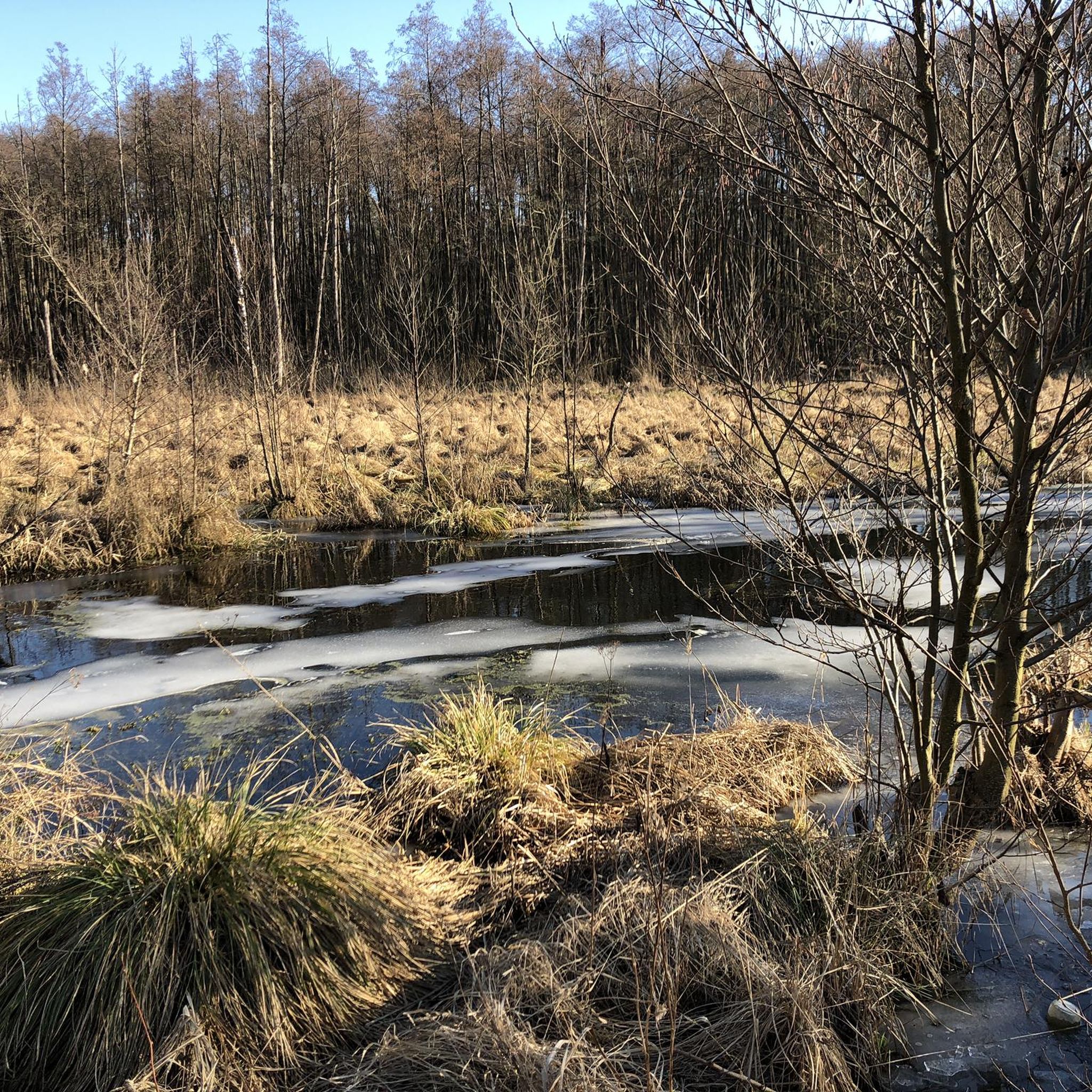
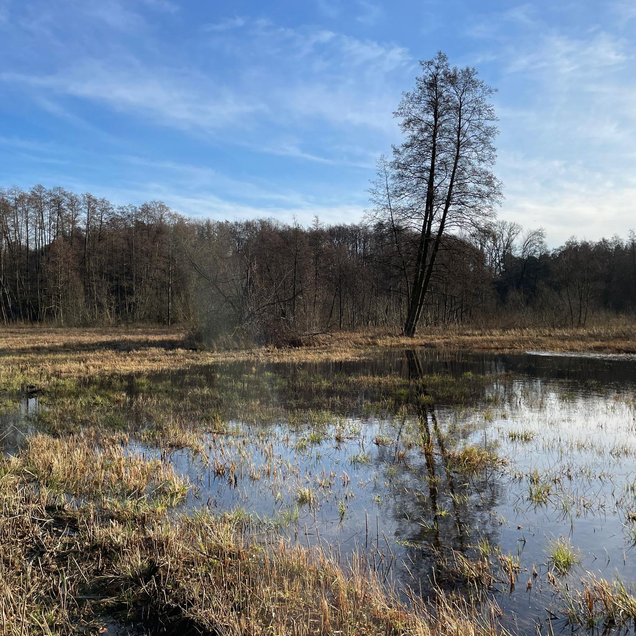
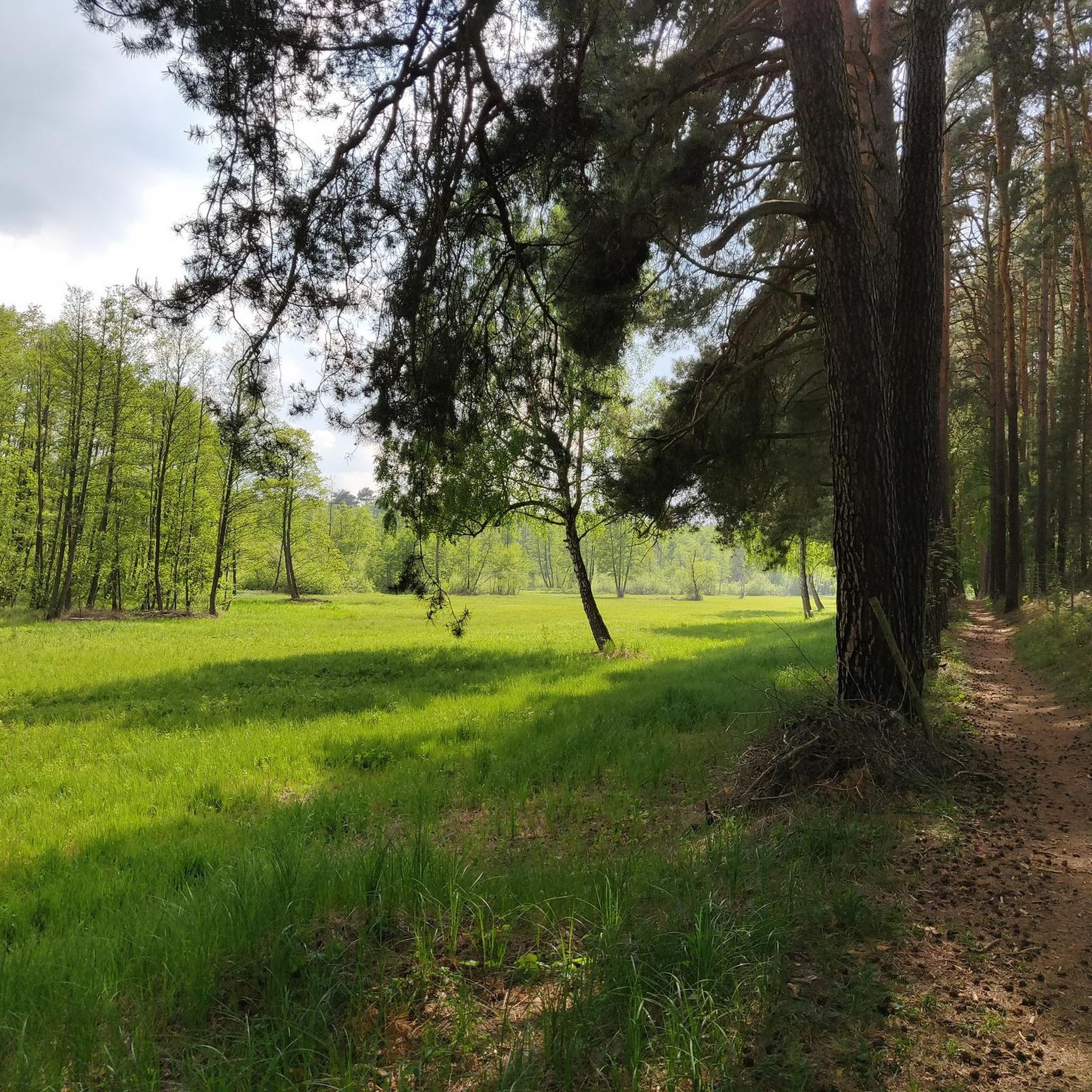
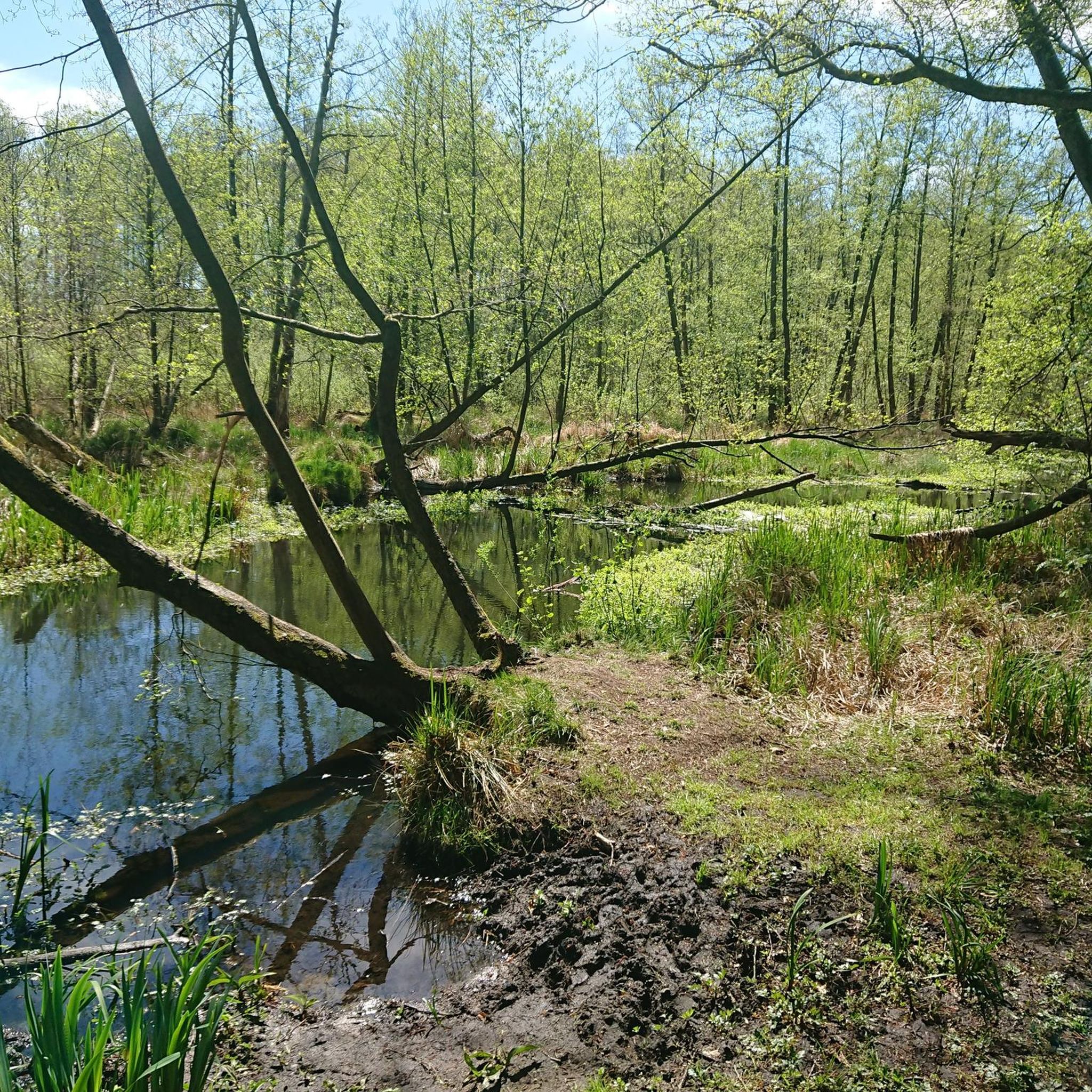
Road cycling routes around NSG Löcknitztal traverse a diverse natural landscape characterized by the meandering Löcknitz river, which flows through a fen ecosystem. The region features a mix of alder carrs, oak forests, wet meadows, and sandy dry grasslands, offering varied scenery for cyclists. While some areas within the nature reserve might include mixed-terrain paths, the broader surroundings connect to paved cycling routes. The valley is largely undisturbed, buffered by surrounding forests, providing a tranquil environment.
Best road cycling routes…
Last updated: May 19, 2026
4.5
(15)
118
riders
Easy road ride. Great for any fitness level. Mostly well-paved surfaces and easy to ride.
5.0
(6)
52
riders
Moderate road ride. Great for any fitness level. Some segments of this route may be unpaved and difficult to ride.

Sign up for free
30
riders
86.5km
03:31
320m
320m
Moderate road ride. Good fitness required. Mostly well-paved surfaces and easy to ride.
5.0
(1)
26
riders
Moderate road ride. Good fitness required. Some segments of this route may be unpaved and difficult to ride.
4.5
(2)
24
riders
Moderate road ride. Good fitness required. Mostly well-paved surfaces and easy to ride.
Get access to more routes and recommendations from other explorers.
Sign up for free
Already have an account?
Our route recommendations are based on thousands of hikes, rides, and runs completed by other people on komoot.
Start today with a free account
Your next adventure awaits.
Login or Signup
Tips from the Community

You can drive along there...
0
0

Easy-to-use asphalted footpath/cycle path next to the road.
1
0
The planks are dangerously slippery when wet.
1
0
Today, smooth as soap, better running.
1
0
Unfortunately, during the last renovation, it was covered over with a layer of gravel and asphalt and is no longer there, and drivers certainly won't want it to be put back in place, which would reduce the road surface for them.
1
0

Very crowded in summer. Recommended for a break at any other time of year.
0
0

As of May 31, 2025, construction work/asphalt is missing. Gravel-suitable
1
0

Undulating section, beautiful view, good surface.
0
0
Frequently Asked Questions
What kind of terrain can I expect on road cycling routes around NSG Löcknitztal?
The region offers a varied landscape. While some routes within the immediate nature reserve might include mixed-terrain paths better suited for gravel bikes, the broader surroundings connect to official, more paved cycling routes like the Spreeradweg, Oder-Spree-Tour, and Dahme Radweg. You'll find a mix of smooth asphalt alongside country roads and sections that might be narrower or less paved, especially closer to the natural fen ecosystem.
Are there easy road cycling routes suitable for beginners in the NSG Löcknitztal area?
Yes, the area offers routes for various ability levels. For beginners, an easy option is the Forest cycle path with smooth asphalt – Cycle path next to the country road loop from Fangschleuse, which is 23.1 miles (37.2 km) long and features smooth asphalt surfaces.
What natural features or landmarks can I see while cycling around NSG Löcknitztal?
The NSG Löcknitztal is defined by the meandering Löcknitz river, which flows through a unique fen ecosystem. You can experience diverse habitats including alder carrs, oak forests, and wet meadows. A designated Rest Area by the Löcknitz Stream provides a tranquil spot to appreciate nature. The area is rich in biodiversity, home to many bird species and rare plants.
How many road cycling routes are available in the NSG Löcknitztal region?
There are over 100 road cycling routes available around NSG Löcknitztal, catering to various skill levels. This includes 44 easy routes, 58 moderate routes, and 4 more challenging options.
Can I find family-friendly road cycling routes in the NSG Löcknitztal area?
Yes, the region offers options suitable for families, particularly the easier routes with smooth asphalt surfaces. The tranquil environment and buffered forests provide a peaceful setting for family outings. Consider routes that stick to well-paved sections and avoid the more mixed-terrain paths within the immediate nature reserve.
What do other road cyclists enjoy most about cycling in NSG Löcknitztal?
The area is highly rated by the komoot community, with an average score of 4.7 stars from over 290 reviews. Cyclists often praise the diverse natural landscapes, the tranquility of the Löcknitz river valley, and the variety of routes available for different abilities.
Are there any long-distance road cycling routes around NSG Löcknitztal?
Yes, for those seeking longer rides, routes like the Buckow Beach – Buckow town centre loop from Fangschleuse cover 53.8 miles (86.5 km). The region also connects to established long-distance routes such as the Spreeradweg, Oder-Spree-Tour, and Dahme Radweg, offering extensive cycling opportunities.
Where can I find parking for road cycling near NSG Löcknitztal?
Common starting points for routes, such as Fangschleuse, Erkner, and Kienbaum, typically offer parking facilities for cyclists. It's advisable to check local signage upon arrival for specific parking regulations and availability.
What is the best time of year for road cycling in NSG Löcknitztal?
The diverse natural landscapes, including the fen ecosystem and forests, are particularly beautiful during spring and autumn. These seasons often offer pleasant temperatures and vibrant scenery. While cycling is possible year-round, some sections might be muddy or less accessible in winter, especially off the main paved roads.
Are there any circular road cycling routes available?
Many routes in the area are designed as loops, allowing you to start and end at the same point. An example is the Road to Müggelhort – EuroVelo Route R1 at Müggelsee loop from Fangschleuse, which offers scenic views along a section of the EuroVelo Route R1.
Can I access the road cycling routes around NSG Löcknitztal using public transport with my bike?
Yes, towns like Erkner, Fangschleuse, and Kienbaum, which serve as common starting points for routes, are generally accessible by public transport. Many regional trains and buses in Brandenburg allow bikes, though specific regulations and peak hour restrictions may apply. It's recommended to check the local transport provider's website for current information on bike carriage.
Are there cafes or places to eat along the road cycling routes?
While the immediate nature reserve is largely undisturbed, the surrounding towns and villages like Grünheide, Erkner, and Kienbaum offer various cafes, pubs, and accommodation options. Routes that pass through or near these settlements will provide opportunities for refreshments and meals.
Most popular routes around NSG Löcknitztal
Most popular attractions around NSG Löcknitztal

Get inspired with the komoot mobile app


Explore more
Browse the best Road cycling routes in other regions.
