The best running trails around Valdemanco
4.5
(25)
1,775
runners
122
runs
Jogging routes Valdemanco traverse a landscape characterized by striking granite morphology and elevated positions. The region offers panoramic views, particularly from hills like Mondalindo, and features diverse vegetation including holm oaks, oak forests, and riparian forests along streams. Its terrain, shaped by a pastoral and agricultural past, provides a variety of paths suitable for running, from grasslands to family orchards. Valdemanco is also situated near the Sierra de Guadarrama National Park, offering access to mountainous landscapes and green valleys.
Best…
Last updated: November 1, 2026
39
runners
19.8km
03:06
860m
860m
Hard run. Very good fitness required. Sure-footedness, sturdy shoes and alpine experience required.
21
runners
24.7km
04:02
1,220m
1,220m
Hard run. Very good fitness required. Sure-footedness, sturdy shoes and alpine experience required.

32
runners
13.7km
02:13
660m
660m
Hard run. Very good fitness required. Sure-footedness, sturdy shoes and alpine experience required.
11
runners
30.2km
05:14
1,640m
1,640m
Hard run. Very good fitness required. Sure-footedness, sturdy shoes and alpine experience required.
9
runners
7.52km
01:22
390m
400m
Hard run. Very good fitness required. Sure-footedness, sturdy shoes and alpine experience required.
Get access to more routes and recommendations from other explorers.
Already have an account?
Our route recommendations are based on thousands of hikes, rides, and runs completed by other people on komoot.
Start today with a free account
Your next adventure awaits.
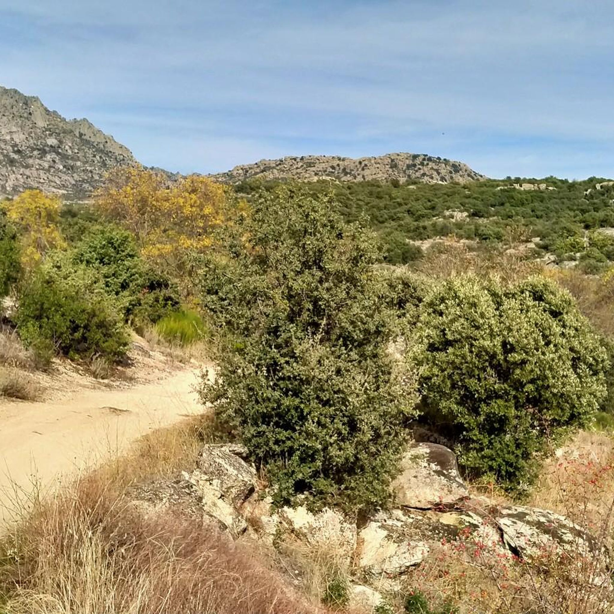
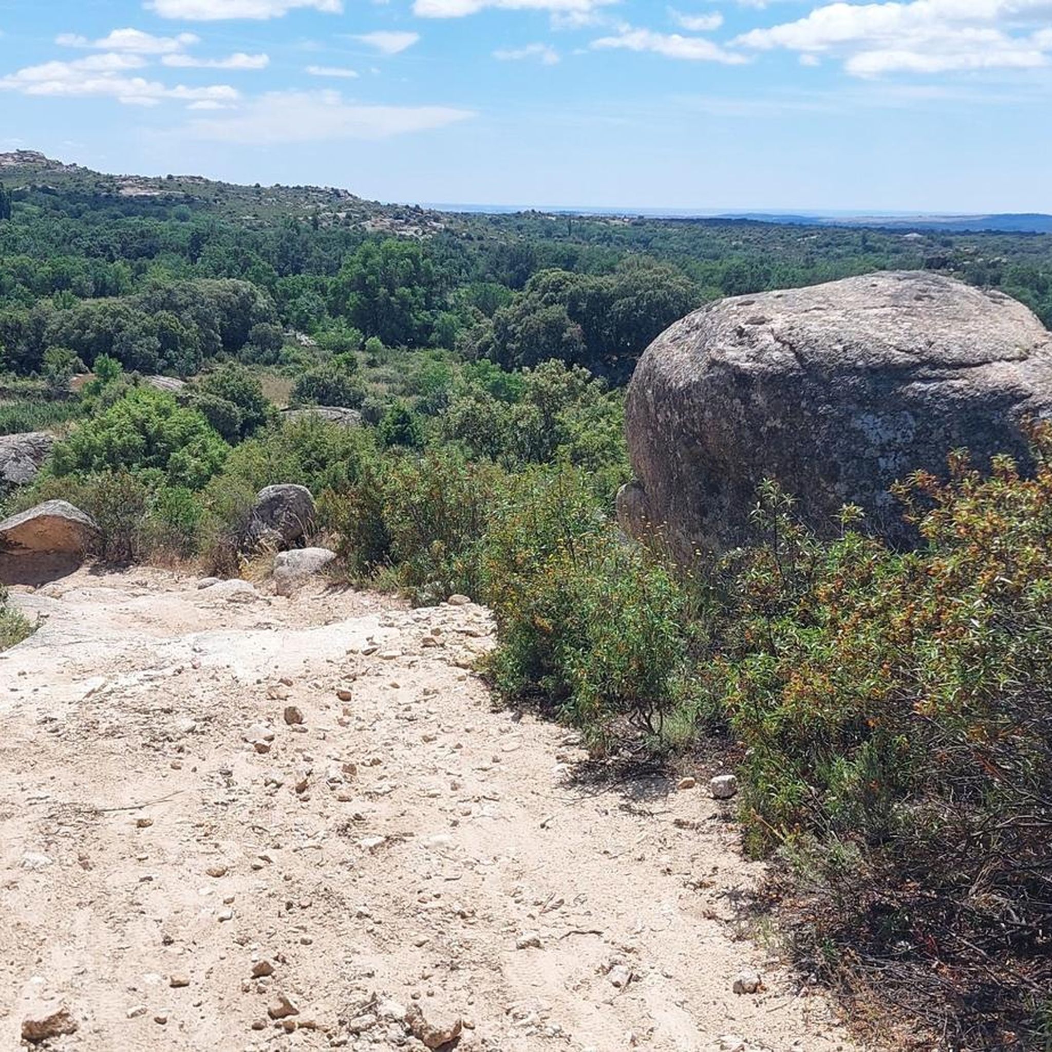
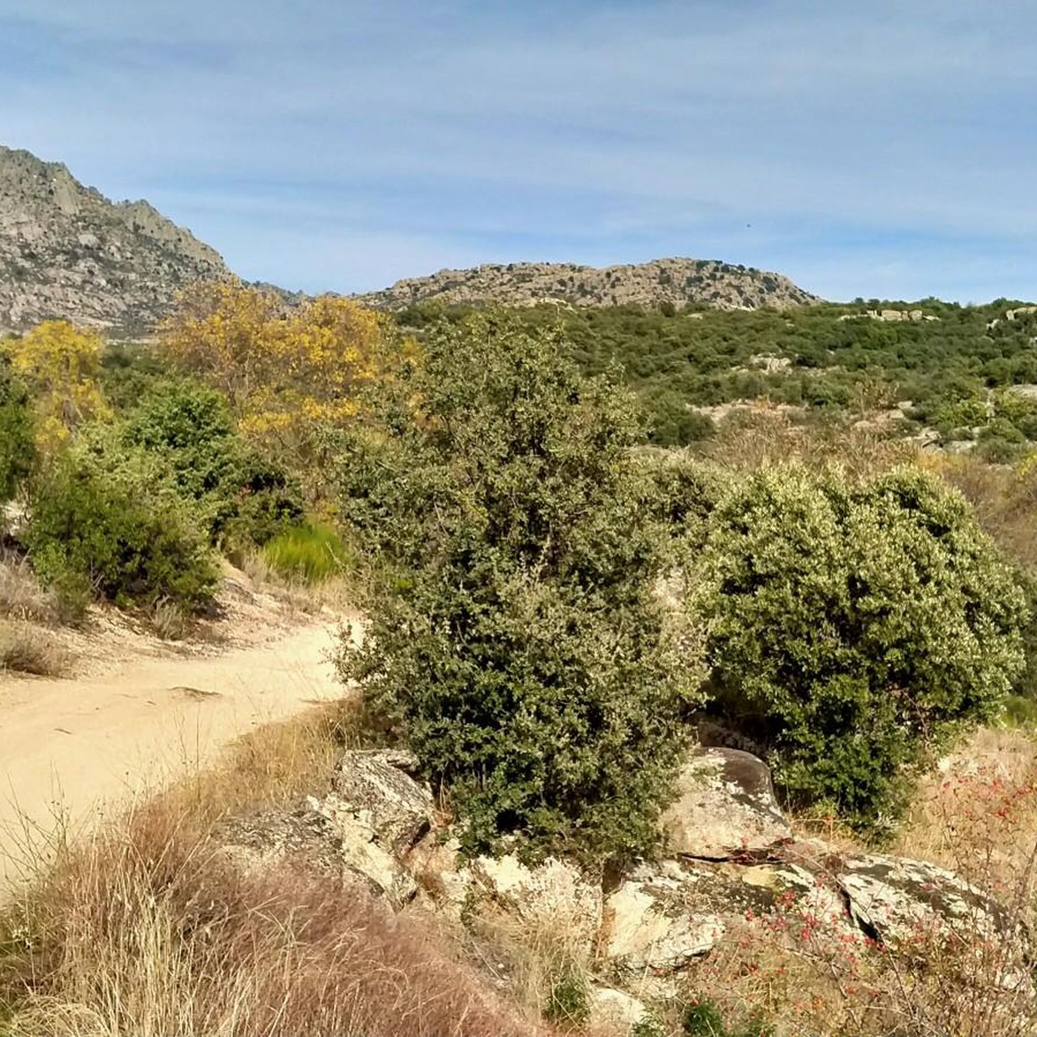

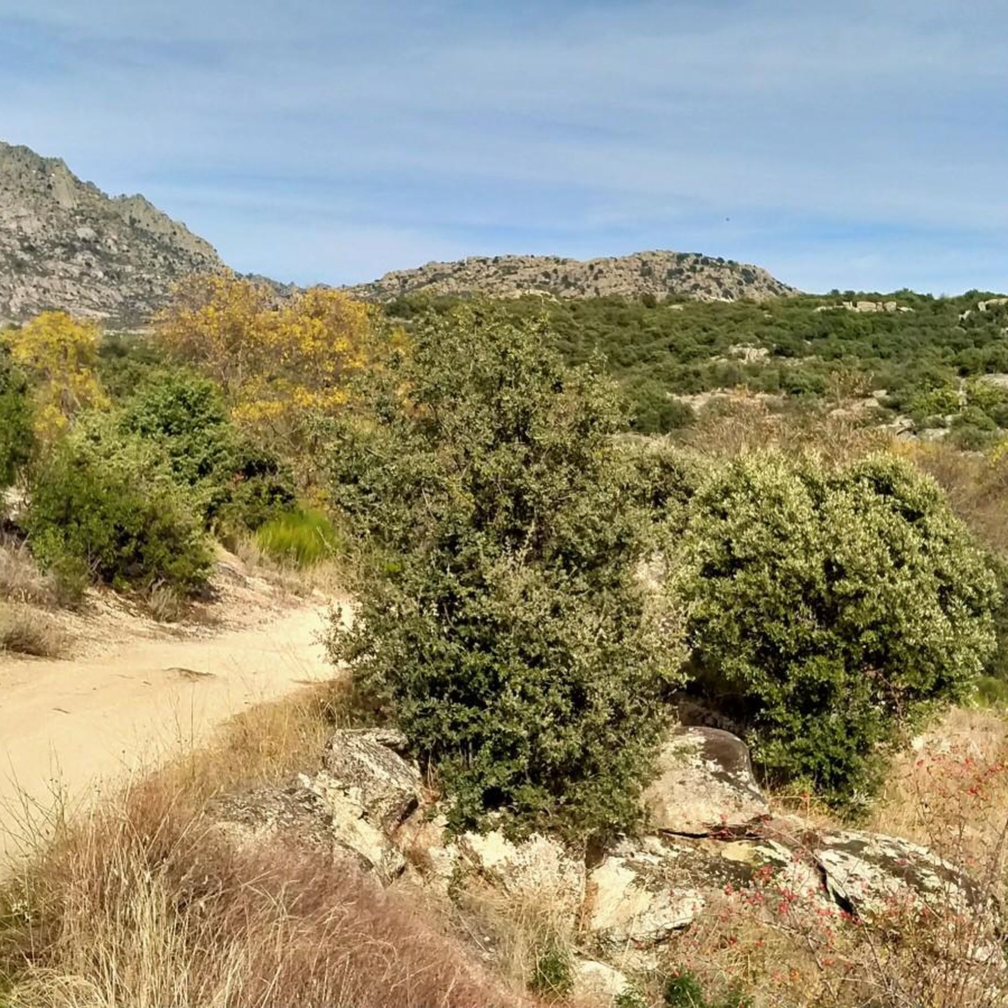
Tips from the Community

Cabeza de la Braña Peak is a prominent geographical point located in the municipality of Bustarviejo, in the Community of Madrid, Spain. This peak is part of the Sierra de Guadarrama, a mountain range offering a landscape of great beauty and natural beauty. With an altitude of approximately 1,770 meters, Cabeza de la Braña is a popular destination for hikers and nature lovers. On this occasion, we will cross the open and closed passes, leaving the peak at our side. You can see other peaks of the Sierra de Guadarrama, such as the Sierra de la Cabrera and the Lozoya Valley, as well as the rural landscapes surrounding Bustarviejo.
0
0
In the Middle Ages, the inhabitants of Bustarviejo had to pay a “toll” of half a bushel to use this pass to carry grain to be ground at the water mills in the Lozoya Valley. Hence the name of this pass. From the pass we can see the Carpetanos Mountains of Somosierra, part of the Lozoya Valley and the entire Sierra Norte of Madrid.
1
0
A hill that separates the Sierra de la Cabrera from the Sierra de Canencia
0
0

A steep slope, which must be climbed with patience, takes us to this place with privileged views.
0
0
Nice place with beautiful views near Valdemanco in the Sierra de Madrid. It is a rest on the way up to the summit of Cabeza de Cervunal, also known as El Mondalindo.
0
0

At the end of the Medio Celemín pass we find this rock formation, with views of all the Cabrera cliffs. ideal to rest and take some photos
0
0

For hikers looking for a good challenge in Miraflores de la Sierra, Cabeza Arcón peak (1558 m) is the perfect choice. With steep trails and a demanding climb, the summit offers stunning views of the mountain range and valley. Make sure you wear appropriate footwear and enjoy a challenging hiking experience with visual rewards at the top.
3
0

Mountain pass located north of Valdemanco in the Cañada Real Segoviana that runs between the Sierra de la Cabrera and the Sierra de Canencia. Large place to enjoy the landscape and rest briefly before beginning the descent.
1
0
Frequently Asked Questions
How many running routes are available around Valdemanco?
There are over 100 running routes available around Valdemanco, offering a wide variety of options for different skill levels and preferences. The komoot community has explored 117 routes in total.
Are there easy jogging routes for beginners in Valdemanco?
Yes, Valdemanco offers a few easy jogging routes suitable for beginners. While many trails are more challenging, you can find 3 routes categorized as easy, perfect for those starting out or looking for a more relaxed run.
What kind of terrain can I expect on the jogging trails in Valdemanco?
The terrain around Valdemanco is characterized by its striking granite morphology, offering a mix of landscapes. You'll find paths through grasslands, old family orchards, holm oak groves, and even oak forests. Riparian forests also line streams like the Guadalix, Gamonal, and Molino de la Huesa arroyos, providing varied surfaces for your run.
Are there any family-friendly running routes in the Valdemanco area?
While specific 'family-friendly' routes aren't explicitly categorized, the region's diverse terrain, including grasslands and orchards, offers gentler sections. Look for the easier routes available, which tend to be shorter and have less elevation gain, making them more suitable for families. The area's natural beauty, with varied flora and fauna, can also make for an engaging outing for all ages.
Can I bring my dog on the running trails in Valdemanco?
Valdemanco's natural environment, with its extensive network of trails and varied landscapes, is generally welcoming for dogs. However, it's always recommended to keep your dog on a leash, especially in areas with wildlife or near agricultural land, and to check local regulations for specific trails within the Sierra de Guadarrama National Park.
Are there circular jogging routes around Valdemanco?
Yes, many of the popular running routes around Valdemanco are circular, allowing you to start and finish at the same point. For example, the Puerto del Medio Celemín – Mondalindo Summit loop from Valdemanco and the Mirador de Valdemanco loop from Valdemanco are both excellent circular options.
What are some scenic viewpoints or attractions I can see while running in Valdemanco?
Valdemanco offers panoramic views from elevated positions like the Mondalindo peak. Along your runs, you might encounter diverse vegetation and riparian forests. Nearby attractions include the tranquil Pedrezuela Reservoir and the scenic Canencia Pass, which provides incredible landscapes within the Sierra de Guadarrama.
What is the best time of year for running in Valdemanco?
The Sierra Norte region, where Valdemanco is located, offers varied conditions throughout the year. Spring and autumn generally provide pleasant temperatures and vibrant scenery, making them ideal for running. Summer can be warm, so early morning or late afternoon runs are advisable, while winter offers a different, often crisp, experience, especially at higher altitudes.
Are there any running routes accessible by public transport in Valdemanco?
While many routes start directly from Valdemanco, which has public transport connections, specific routes designed for public transport access are not detailed in the guide. It's best to check local bus schedules to Valdemanco and then plan your run from the village center, as many trails are easily reachable from there.
Where can I find parking for the running trails in Valdemanco?
Valdemanco is a small town, and parking is generally available within or on the outskirts of the village, close to trailheads. Many routes, being loops starting from Valdemanco, make it convenient to park your vehicle before heading out for your run.
What do other runners enjoy most about jogging in Valdemanco?
The running routes in Valdemanco are highly rated by the komoot community, with an average score of 4.6 stars from over 19 reviews. Runners often praise the distinctive granite landscapes, the varied flora, and the access to the wider Sierra de Guadarrama region, appreciating the mix of physical challenge and natural beauty.
Are there any long-distance running options or challenging trails in Valdemanco?
Absolutely. Valdemanco is known for its more challenging routes, with 75 trails categorized as difficult. For instance, the Puerto del Medio Celemín loop from Valdemanco is a difficult 11.6-mile (18.7 km) path featuring varied terrain and significant elevation changes, perfect for experienced runners seeking a challenge.
Most popular routes around Valdemanco
Most popular attractions around Valdemanco

Get inspired with the komoot mobile app


Explore more
Browse the best Running Trails & Routes in other regions.
