The best road cycling routes around Valdemanco
4.9
(19)
4,638
riders
68
rides
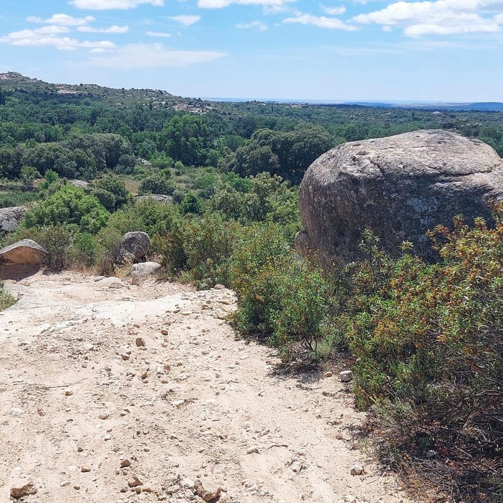
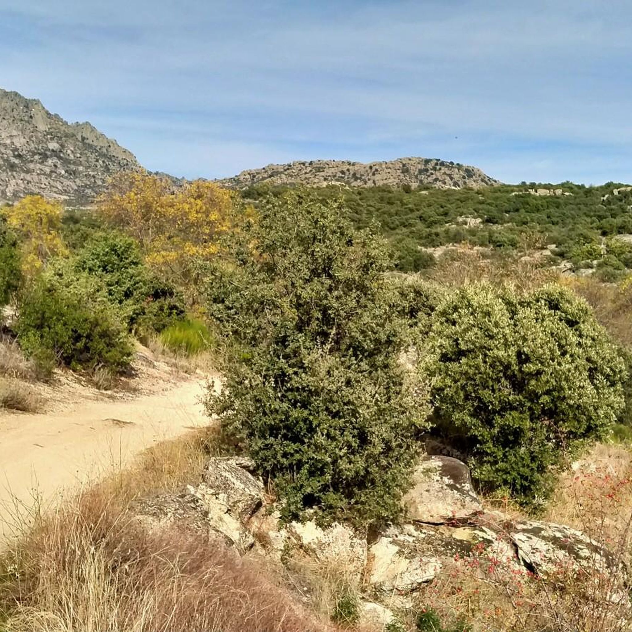
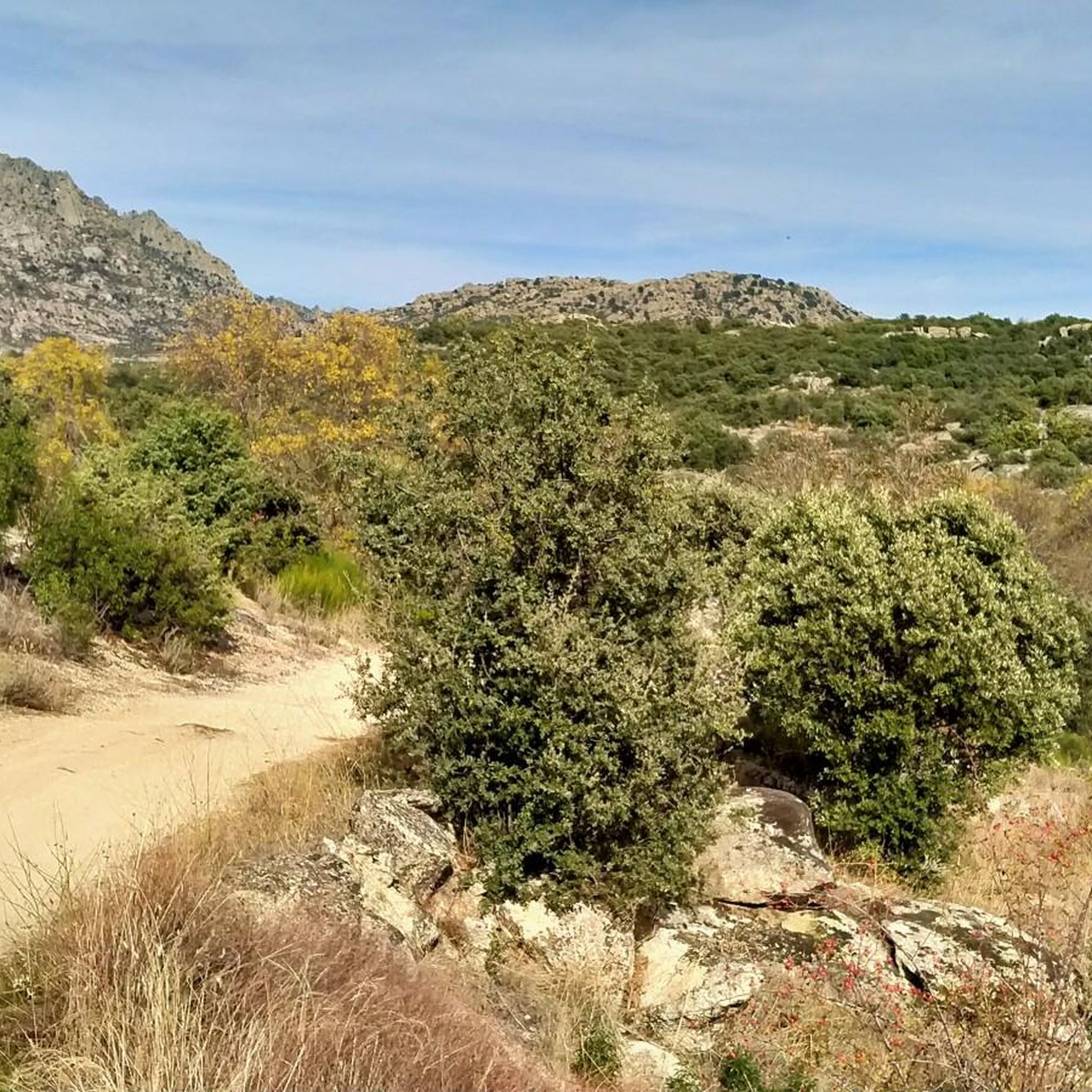
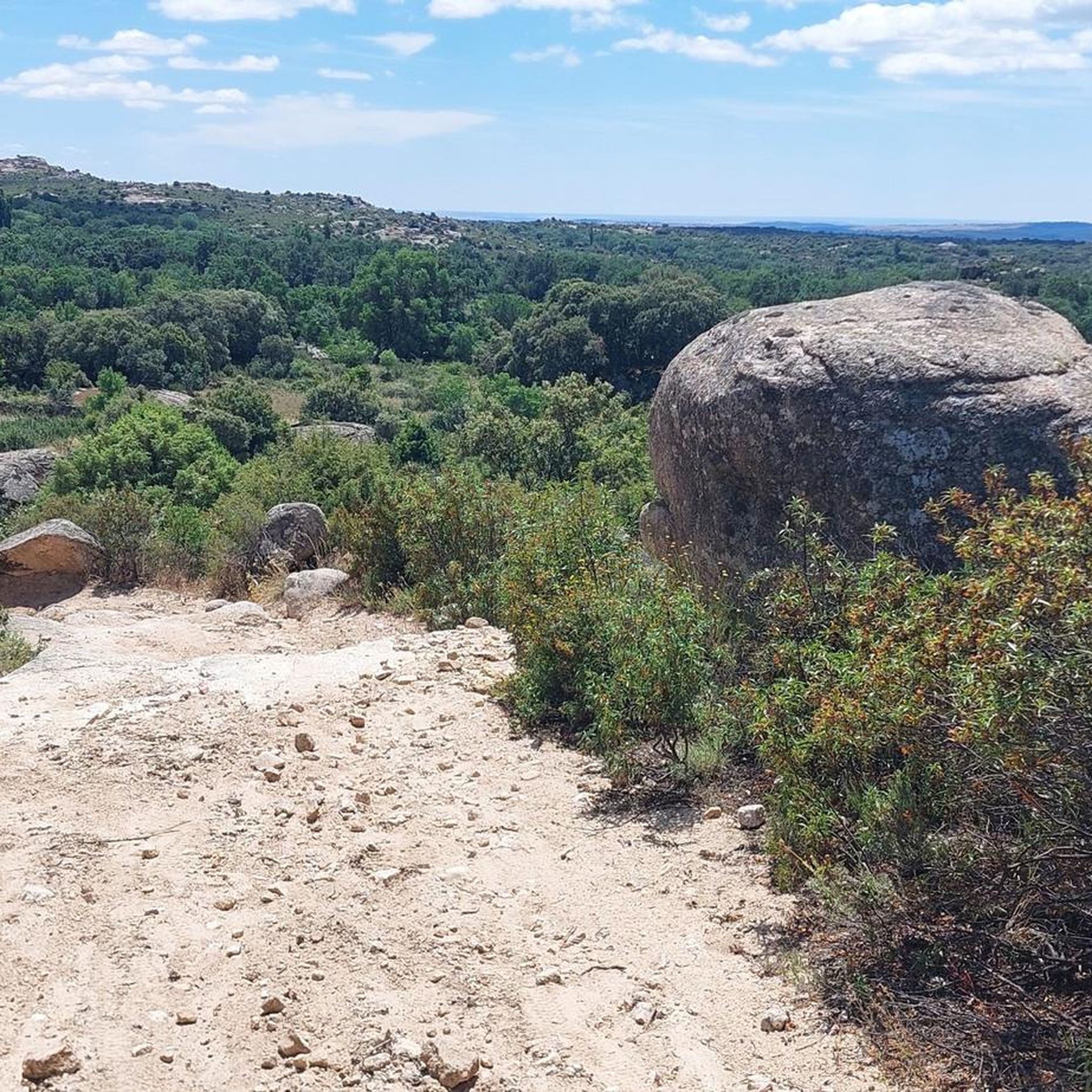
Road cycling around Valdemanco offers diverse terrain within the Sierra de La Cabrera, characterized by distinctive granite landscapes and high-altitude panoramas. The region features a mix of mountainous areas, varied vegetation including holm oaks and oak forests, and several streams. This environment provides a range of road cycling options, from routes with moderate elevation changes to more challenging climbs.
Best road cycling routes around Valdemanco
- The most popular road cycling route is Alto del Cerro de San Pedro – Soto…
Last updated: May 24, 2026
5.0
(1)
639
riders
141km
07:09
2,220m
2,220m
Hard road ride. Very good fitness required. Mostly well-paved surfaces and easy to ride.
5.0
(1)
311
riders
55.6km
03:29
1,400m
1,400m
Hard road ride. Very good fitness required. Mostly well-paved surfaces and easy to ride.

Sign up for free
272
riders
98.9km
05:57
2,340m
2,340m
Hard road ride. Very good fitness required. Mostly well-paved surfaces and easy to ride.
234
riders
66.3km
04:06
1,630m
1,630m
Hard road ride. Very good fitness required. Mostly well-paved surfaces and easy to ride.
4.7
(3)
485
riders
Hard road ride. Very good fitness required. Mostly well-paved surfaces and easy to ride.
Get access to more routes and recommendations from other explorers.
Sign up for free
Already have an account?
Our route recommendations are based on thousands of hikes, rides, and runs completed by other people on komoot.
Start today with a free account
Your next adventure awaits.
Login or Signup

Tips from the Community

It is located in the Sierra de Guadarrama mountain range, between the municipalities of Miraflores de la Sierra and Rascafría, in the Community of Madrid. From Miraflores de la Sierra (1200m), the route ascends approximately 600m over 10km (average gradient 4–6%), and after reaching the summit, it descends 13km to Rascafría (1150m) with a gradient of 4.5–7%.
6
0
The name comes from the stone boundary markers erected in the 18th century to demarcate lands acquired by Charles III for hunting. During the Spanish Civil War, it was a strategic area with a Republican detachment stationed there. It formerly housed the Valcotos ski resort, which no longer exists.
1
0

Ascent to Morcuera from Rascafría with views of the Pinilla reservoir
0
0

The north face has more demanding percentages than the south face, but it is still an accessible climb from both sides.
0
0

Good, shady area, water in Rascafría and upstream, well paved. Too busy on weekends.
0
0
There's a fountain as you reach the top on the right. Follow the cobblestone path.
0
1
It's not a very steep climb, but it's long. It gets tiring at the end.
0
0

Frequently Asked Questions
What kind of terrain can I expect when road cycling around Valdemanco?
Valdemanco, nestled in the Sierra de La Cabrera, offers a diverse road cycling experience characterized by its striking granite landscapes and high-altitude panoramas. You'll encounter a mix of mountainous areas with ascents and descents, varied vegetation including holm oaks and oak forests, and several streams. The region provides a range of options, from routes with moderate elevation changes to more challenging climbs, all on mostly paved surfaces.
Are there road cycling routes suitable for beginners in Valdemanco?
Yes, Valdemanco offers routes suitable for various fitness levels. While many routes feature significant elevation, there are 3 easy road cycling routes available. These routes typically involve less elevation gain and shorter distances, making them ideal for those new to road cycling or looking for a more relaxed ride.
What options are available for experienced road cyclists seeking a challenge?
For experienced road cyclists, Valdemanco provides ample challenges with 41 difficult routes. These often feature significant elevation gains and longer distances, traversing mountainous terrain and demanding passes. An example is the Alto del Cerro de San Pedro – Puerto de Canencia climb loop from Valdemanco, which is 80.5 miles (129.6 km) long with over 2000 meters of elevation gain.
What natural features and viewpoints can I see while cycling in Valdemanco?
The Valdemanco region is rich in natural beauty. You can expect to see distinctive granite rock formations, diverse vegetation ranging from holm oaks to oak forests, and various streams. Notable natural viewpoints include the Mondalindo Peak, offering expansive landscape views. You might also encounter highlights like the Mojonavalle Forest or the Puerto del Medio Celemín.
Are there any notable landmarks or attractions along the road cycling routes?
Yes, several points of interest can be found near or along the road cycling routes. These include natural monuments like the Yew of the Trail and the impressive Cancho Gordo summit. You might also pass by reservoirs such as El Atazar Reservoir or Pedrezuela Reservoir, and historical structures like the El Berrueco Watchtower.
Are there circular road cycling routes available in Valdemanco?
Yes, many of the road cycling routes around Valdemanco are designed as loops, allowing you to start and finish in the same location. Examples include the popular Alto del Cerro de San Pedro – Soto del Real Cycling Area loop from Valdemanco and the La Morcuera Pass – Puerto de Canencia climb loop from Valdemanco.
How many road cycling routes are available in the Valdemanco area?
There are over 75 road cycling routes available around Valdemanco, offering a wide variety of distances and difficulty levels to explore the region's unique landscapes.
What is the longest road cycling route I can find in Valdemanco?
The longest road cycling route listed is the Alto del Cerro de San Pedro – Puerto de Canencia climb loop from Valdemanco, which spans 80.5 miles (129.6 km) and features significant elevation gain, making it a substantial challenge for long-distance cyclists.
What are the seasonal considerations for road cycling in Valdemanco?
Valdemanco's mountainous terrain means that weather conditions can vary. While specific seasonal advice isn't detailed, the region's diverse vegetation and waterways suggest pleasant cycling during spring and autumn. Summers can be warm, and winters might bring colder temperatures and potentially snow at higher elevations, especially around passes like Canencia Pass. It's always advisable to check local weather forecasts before heading out.
Is Valdemanco a good destination for family-friendly road cycling?
While Valdemanco offers routes of varying difficulty, including some easier options, the region is generally characterized by mountainous terrain and significant elevation changes. For family-friendly road cycling, it's best to select the 3 easy routes available, which will have less demanding climbs and shorter distances, ensuring a more enjoyable experience for all family members.
What do other road cyclists enjoy the most about road cycling in Valdemanco?
The road cycling routes in Valdemanco are highly rated by the komoot community, with an average score of 4.9 stars from over 20 reviews. Cyclists often praise the region's stunning granite landscapes, the challenging yet rewarding climbs through the Sierra de La Cabrera, and the diverse natural features that make each ride scenic and engaging.
Are there any moderate difficulty road cycling routes in Valdemanco?
Yes, Valdemanco offers a good selection of routes for intermediate cyclists. There are 31 moderate difficulty road cycling routes available, providing a balance of distance and elevation without being overly strenuous. These routes are perfect for those looking to build endurance or enjoy a longer ride with some challenging sections.
Most popular routes around Valdemanco
Most popular attractions around Valdemanco

Get inspired with the komoot mobile app


Explore more
Browse the best Road cycling routes in other regions.
