The best road cycling routes around Stadtwald Göttingen und Kerstlingeröder Feld
4.6
(2240)
25,884
riders
504
rides
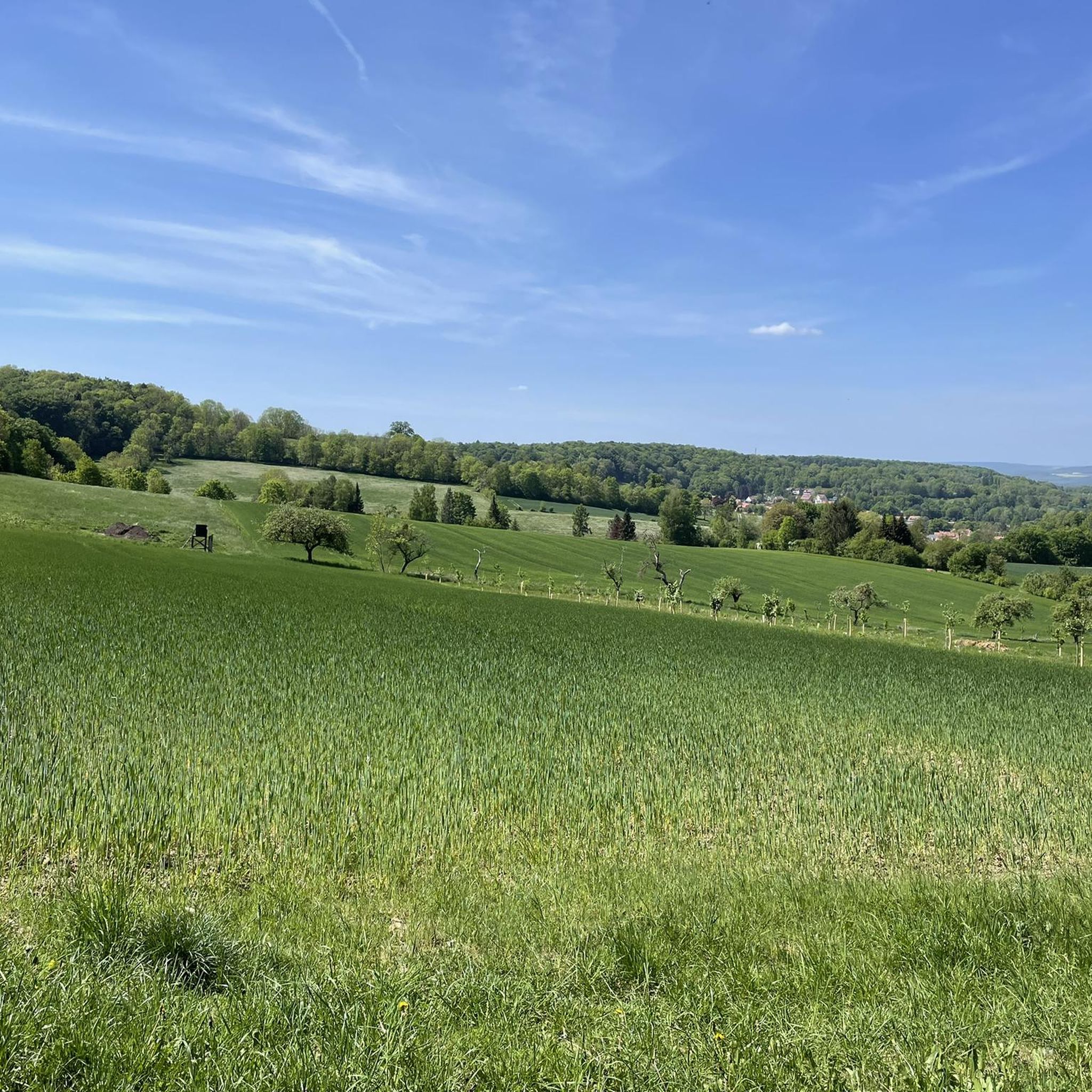
Road cycling around Stadtwald Göttingen und Kerstlingeröder Feld offers diverse terrain through extensive limestone beech forests and open landscapes. The region features well-maintained paths and rolling hills, providing varied elevation profiles for road cyclists. Kerstlingeröder Feld, a unique open area, presents a mix of meadows and shrubbery, contrasting with the dense woodlands of Stadtwald Göttingen. Geological points of interest, such as exposed ancient seabed, can be encountered along some routes.
Best road cycling routes around Stadtwald Göttingen und Kerstlingeröder Feld
…Last updated: May 14, 2026
5.0
(1)
11
riders
29.0km
01:20
300m
300m
Easy road ride. Great for any fitness level. Mostly well-paved surfaces and easy to ride.
3.0
(1)
16
riders
Moderate road ride. Good fitness required. Some segments of this route may be unpaved and difficult to ride.

Sign up for free
5.0
(1)
11
riders
78.0km
03:24
400m
400m
Moderate road ride. Good fitness required. Some segments of this route may be unpaved and difficult to ride.
8
riders
14.4km
00:48
280m
280m
Easy road ride. Great for any fitness level. Mostly well-paved surfaces and easy to ride.
5.0
(4)
58
riders
Moderate road ride. Good fitness required. Mostly well-paved surfaces and easy to ride.
Get access to more routes and recommendations from other explorers.
Sign up for free
Already have an account?
Our route recommendations are based on thousands of hikes, rides, and runs completed by other people on komoot.
Start today with a free account
Your next adventure awaits.
Login or Signup
Popular around Stadtwald Göttingen und Kerstlingeröder Feld
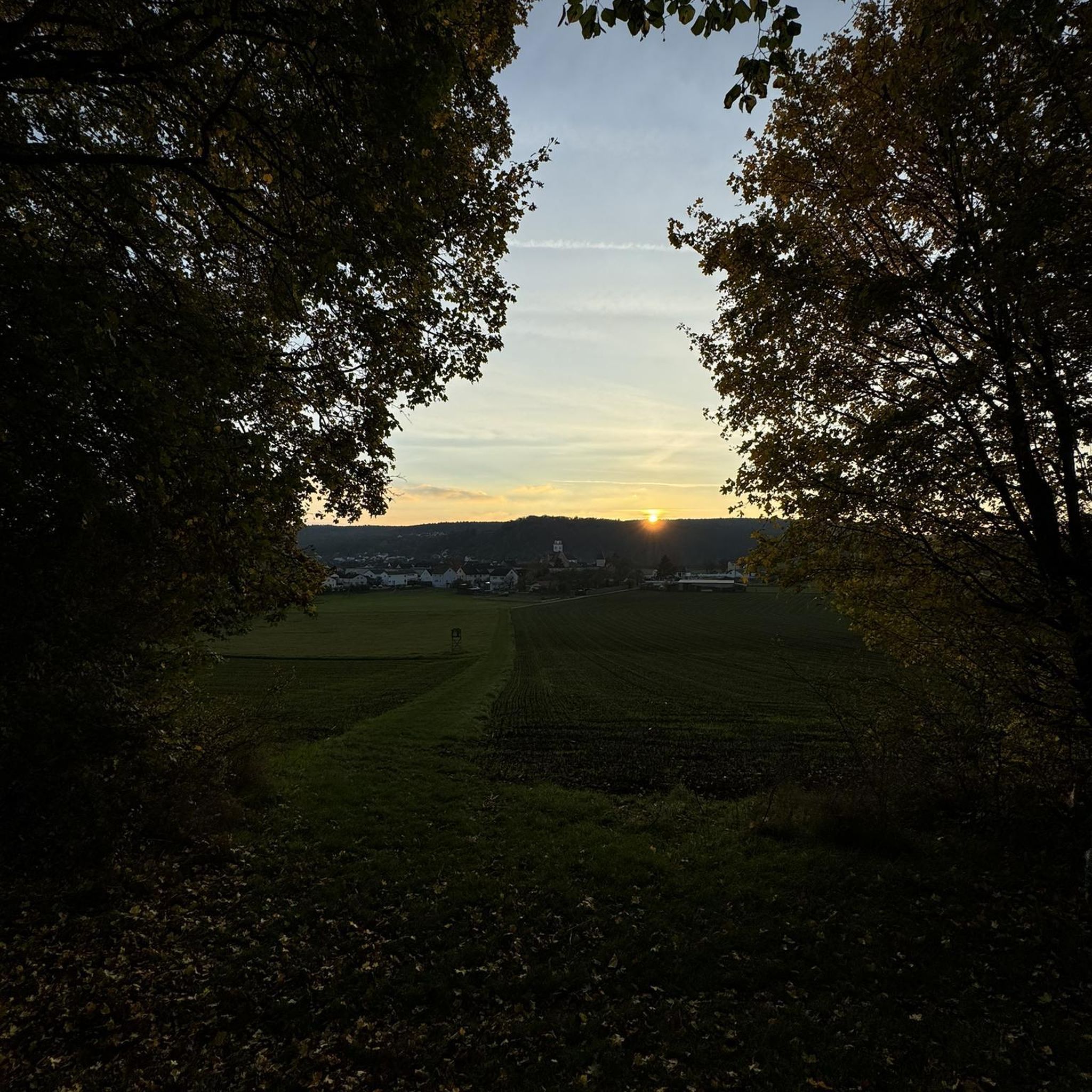
Gravel biking around Stadtwald Göttingen und Kerstlingeröder Feld
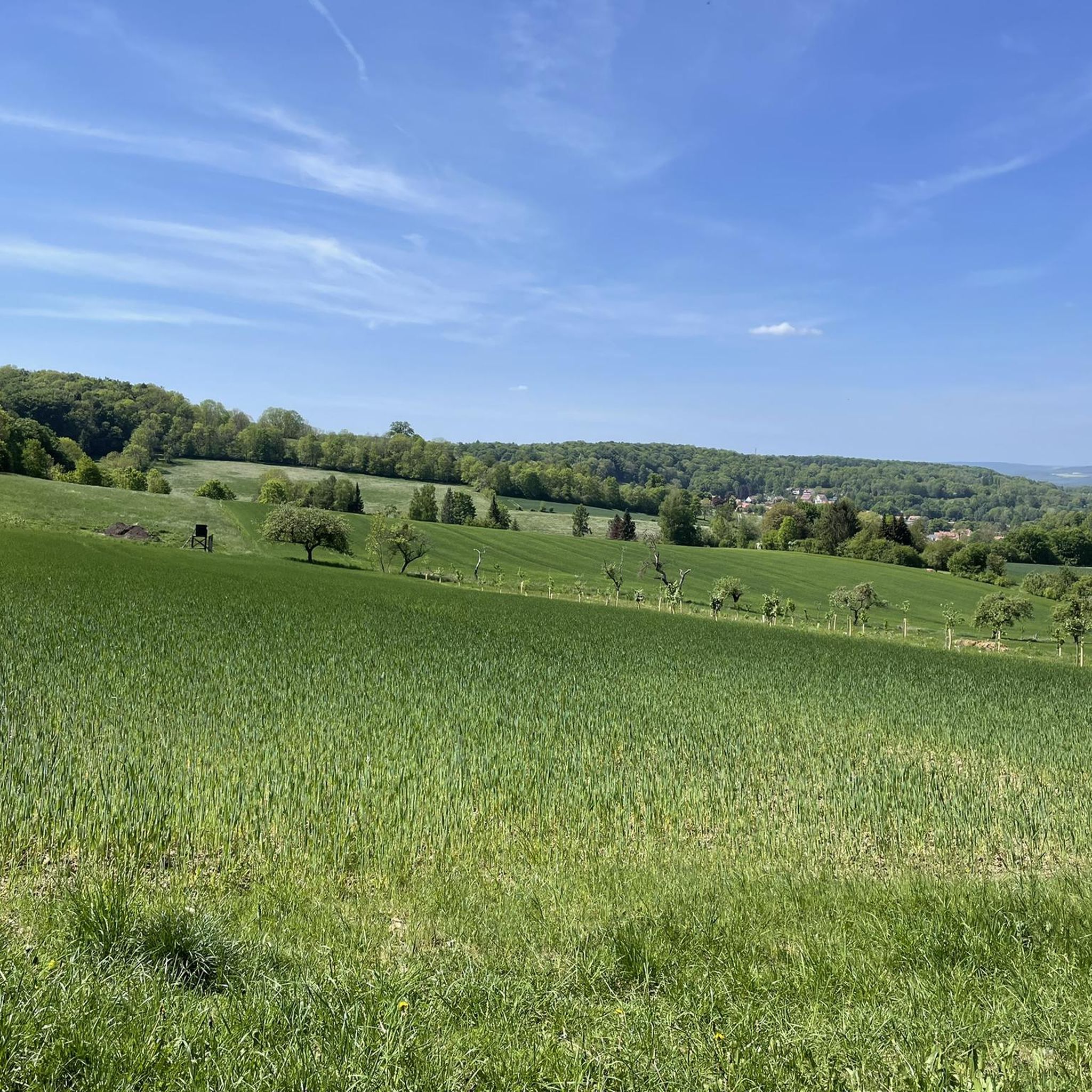
Running Trails around Stadtwald Göttingen und Kerstlingeröder Feld
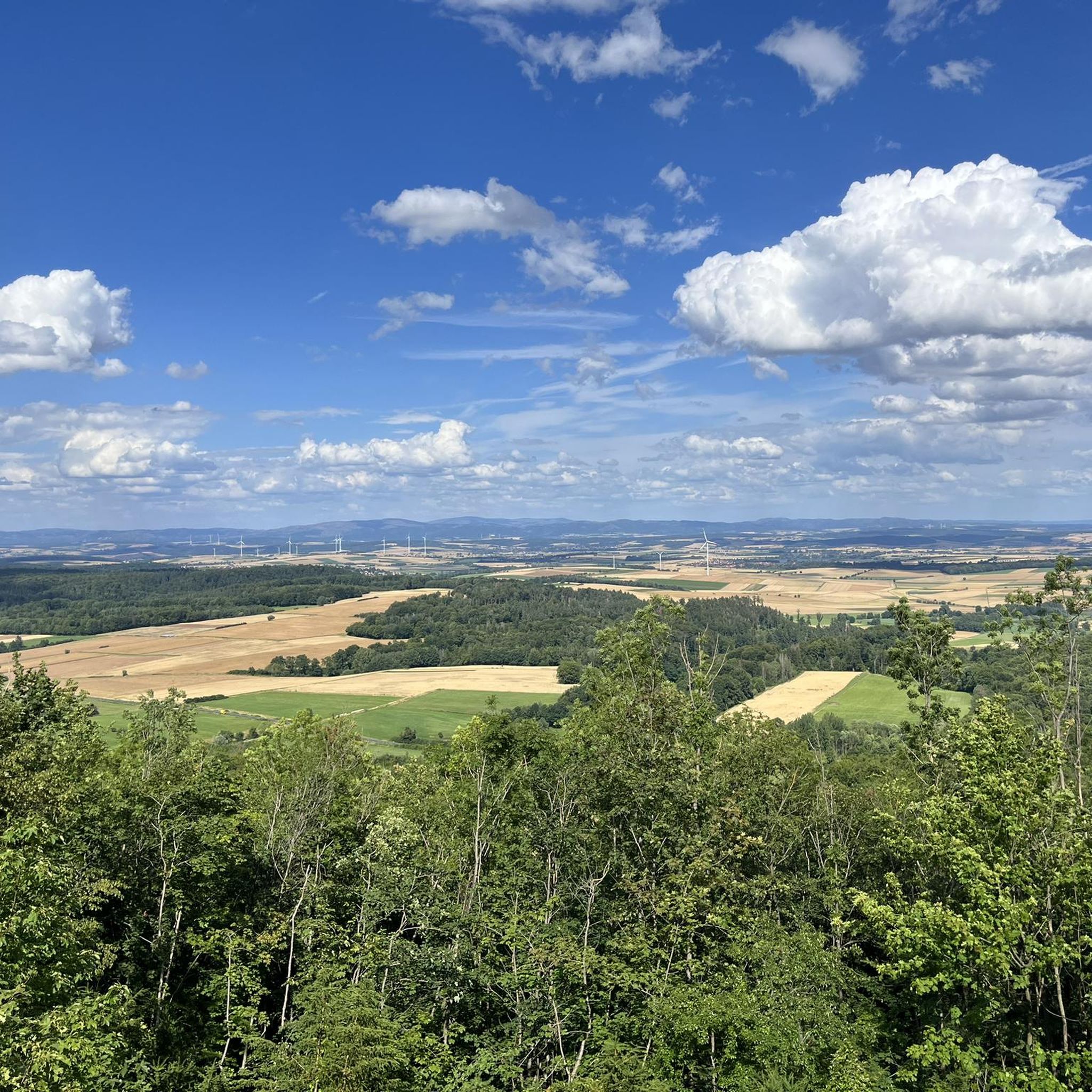
Cycling around Stadtwald Göttingen und Kerstlingeröder Feld
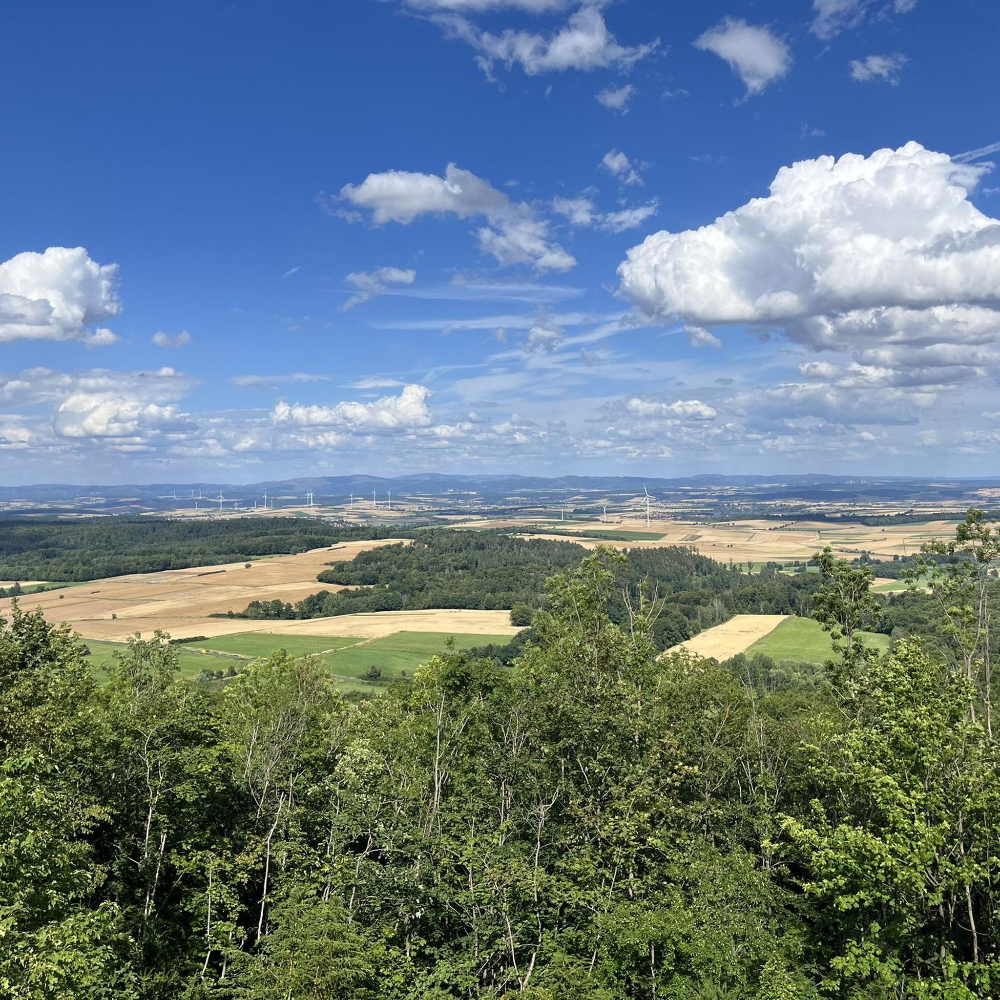
Hiking around Stadtwald Göttingen und Kerstlingeröder Feld
MTB Trails around Stadtwald Göttingen und Kerstlingeröder Feld
Tips from the Community

The Bleicherode–Herzberg railway line was a 41 km long, single-track, non-electrified branch line that served the eastern Eichsfeld and the Ohm Mountains. It connected the Halle–Hann. Münden railway line near Bleicherode with the South Harz line in Herzberg am Harz. It was mainly used for freight transport from several former potash mines, most recently in Bischofferode, and to a former lignite power plant in Rhumspringe. On the Lower Saxony side, the line has been almost completely converted into a cycle path. However, a section is missing in Rhumspringe, as two bridges were demolished beforehand, and the section between the Hilkerode halt and Zwinge station was also not converted due to a parallel field path. Source: https://de.wikipedia.org/wiki/Bahnstrecke_Bleicherode%E2%80%93Herzberg
1
0
Most of the bridges could be used for the cycle path, so cyclists and hikers have a green route with little gradient available. Only in Rhumspringe does the official route lead through the town – the most beautiful, but undeveloped viaduct on the route is left to one side.
1
0


Up to Landolfshausen, this stretch runs like clockwork 😀👍🏼
0
0

Here you will find many interesting things to discover, great photo opportunities and a nice cafe to stop for a break, it is worth it
2
0

Good cycle path out of the city, moderate gradient.
0
0

Nice little café/restaurant with outdoor seating even when the weather is good
1
0

The Neptune is already located on the edge of the development of Göttingen.
4
0
Frequently Asked Questions
How many road cycling routes are available in Stadtwald Göttingen und Kerstlingeröder Feld?
There are over 525 road cycling routes in Stadtwald Göttingen und Kerstlingeröder Feld. These routes cater to various skill levels, with 104 easy, 334 moderate, and 87 difficult options.
What kind of terrain can I expect on road cycling routes in Stadtwald Göttingen und Kerstlingeröder Feld?
The region offers diverse terrain, primarily characterized by extensive limestone beech forests in the Stadtwald Göttingen and open landscapes with meadows and pastures in the Kerstlingeröder Feld. You'll encounter well-maintained paths and rolling hills, providing varied elevation profiles. Some routes also feature geological points of interest, such as exposed ancient seabed.
Are there easy road cycling routes suitable for beginners in this area?
Yes, there are over 100 easy road cycling routes available. An excellent option for a gentle ride is the View of the Brocken – Thiershäuser Ponds loop from Waake, an 18.1-mile (29.1 km) path featuring gentle gradients through open fields and past ponds.
Are there challenging road cycling routes with significant climbs?
Yes, for those seeking more demanding rides, there are 87 difficult routes. The area includes ascents like the path up to the 427.5-meter high Mackenröder Spitze, which can be challenging due to gradients, offering rewarding views of the Harz mountains and Seeburger See from the Harzblick observation tower.
What natural features or landmarks can I see while road cycling in Stadtwald Göttingen und Kerstlingeröder Feld?
You can explore a variety of natural features and landmarks. Highlights include the Wild Boar Enclosure at Kehr and the White Fallow Deer Enclosure at Kehr (Göttingen), where you can observe wildlife. Geological interests like the Fossil Seabed from the Muschelkalk Period and the Mackenröder Cliffs offer insights into ancient formations. The Kerstlingeröder Field itself is a unique open landscape with rich biodiversity.
Are there any viewpoints along the road cycling routes?
Yes, the region offers several rewarding viewpoints. The historic Bismarckturm provides panoramic views over Göttingen and the Leinetal valley. For more extensive vistas, the path up to the Mackenröder Spitze and the Aussichtsturm Harzblick offers views of the Harz mountains and Seeburger See.
Are there circular road cycling routes in Stadtwald Göttingen und Kerstlingeröder Feld?
Many routes in the area are designed as loops, allowing you to start and end at the same point. For example, the Lonauer Waterfall – Rhume River loop from Waake is a popular moderate route, and the Gartetal Cycle Path – View Over the Fields loop from Kerstlingeröder Feld offers a pleasant ride through meadows.
Is it possible to access road cycling routes using public transport?
Yes, the Stadtwald is easily accessible by bus, making it convenient to reach various starting points for your road cycling adventures without needing a car.
Where can I park my car when visiting Stadtwald Göttingen und Kerstlingeröder Feld for road cycling?
Parking options are available for those arriving by car. A notable parking spot is the "Meeresboden-Parkplatz," which provides convenient access to the area's cycling routes.
Are there family-friendly road cycling options in the area?
Absolutely. The region offers many easy paths suitable for families. Beyond cycling, attractions like the Kehr Wildlife Enclosure, where children can feed animals, and playgrounds make it a great destination for family outings.
What is the best time of year for road cycling in Stadtwald Göttingen und Kerstlingeröder Feld?
The region is enjoyable for road cycling throughout much of the year. Spring and autumn offer pleasant temperatures and beautiful scenery, with the limestone beech forests showcasing vibrant colors. Summer provides shaded routes through the woodlands, while winter can offer crisp, clear rides, though some paths might be more challenging due to conditions.
What do other road cyclists enjoy about the routes in Stadtwald Göttingen und Kerstlingeröder Feld?
The routes in Stadtwald Göttingen und Kerstlingeröder Feld are highly rated by the komoot community, with an average score of 4.6 stars from over 2,100 reviews. Cyclists often praise the diverse terrain, from the quiet, extensive beech forests to the open, scenic meadows of Kerstlingeröder Feld, as well as the well-maintained paths and varied elevation profiles.
Most popular routes around Stadtwald Göttingen und Kerstlingeröder Feld
Most popular attractions around Stadtwald Göttingen und Kerstlingeröder Feld

Get inspired with the komoot mobile app


Explore more
Browse the best Road cycling routes in other regions.
