The best road cycling routes around Aueniederung und Nebentäler
4.6
(601)
8,310
riders
377
rides
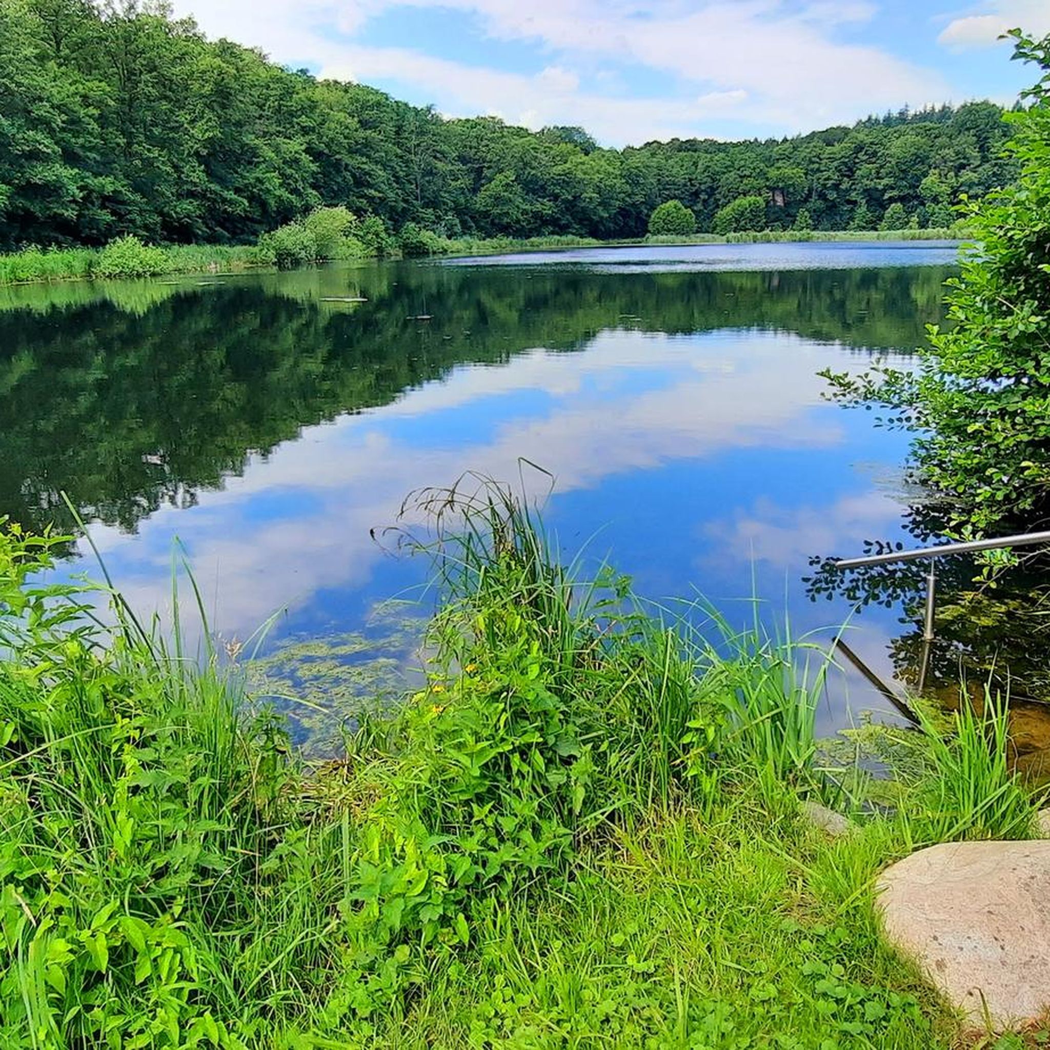
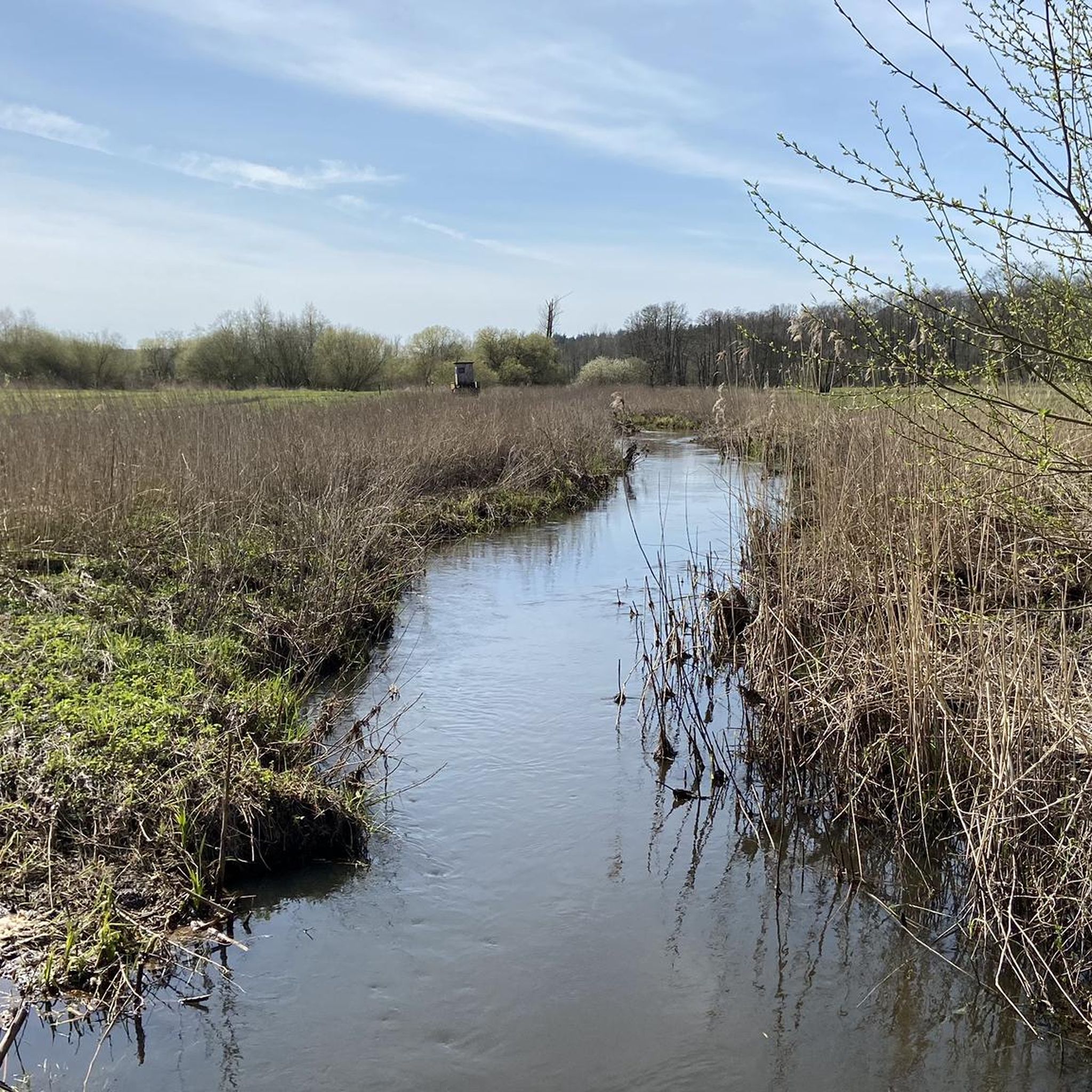
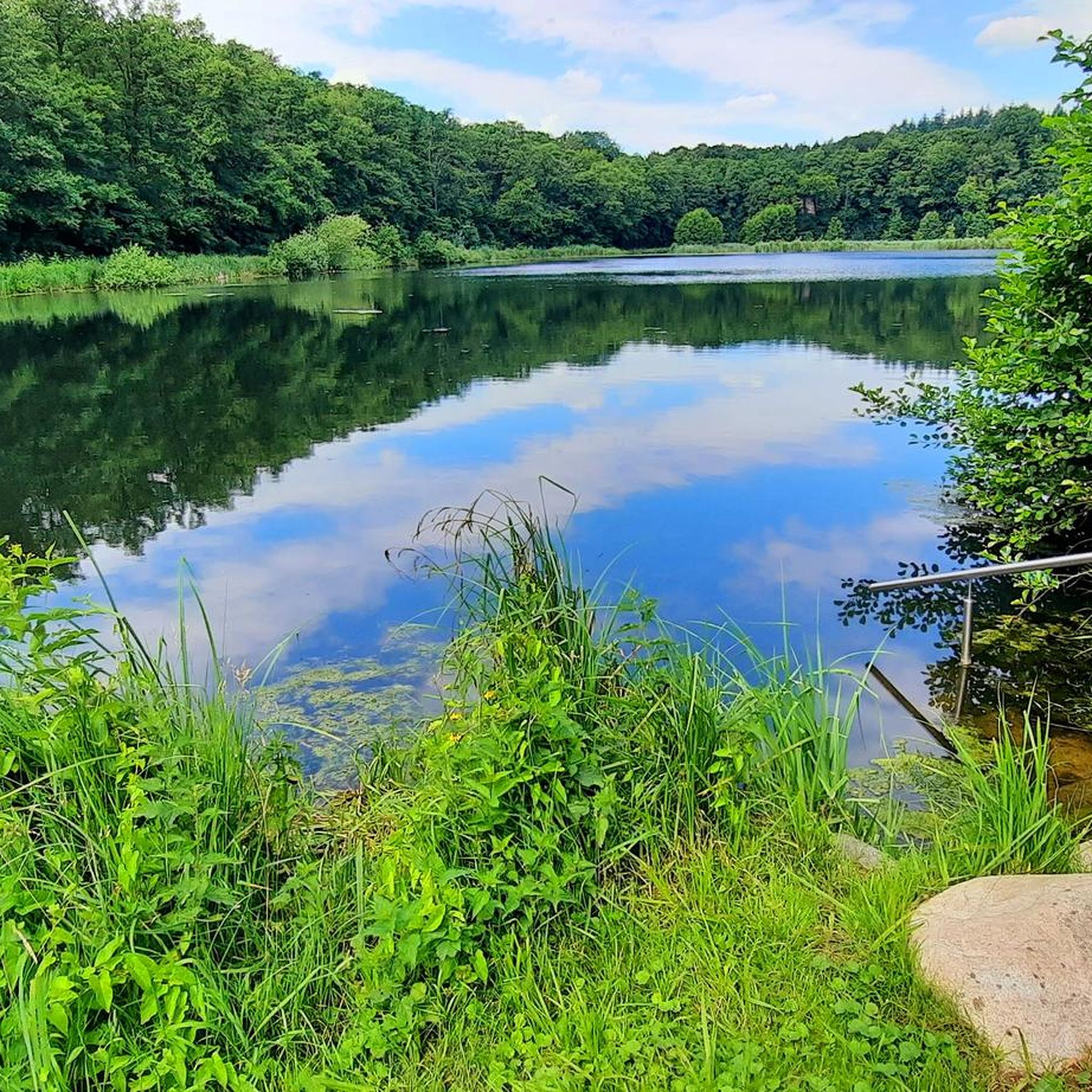
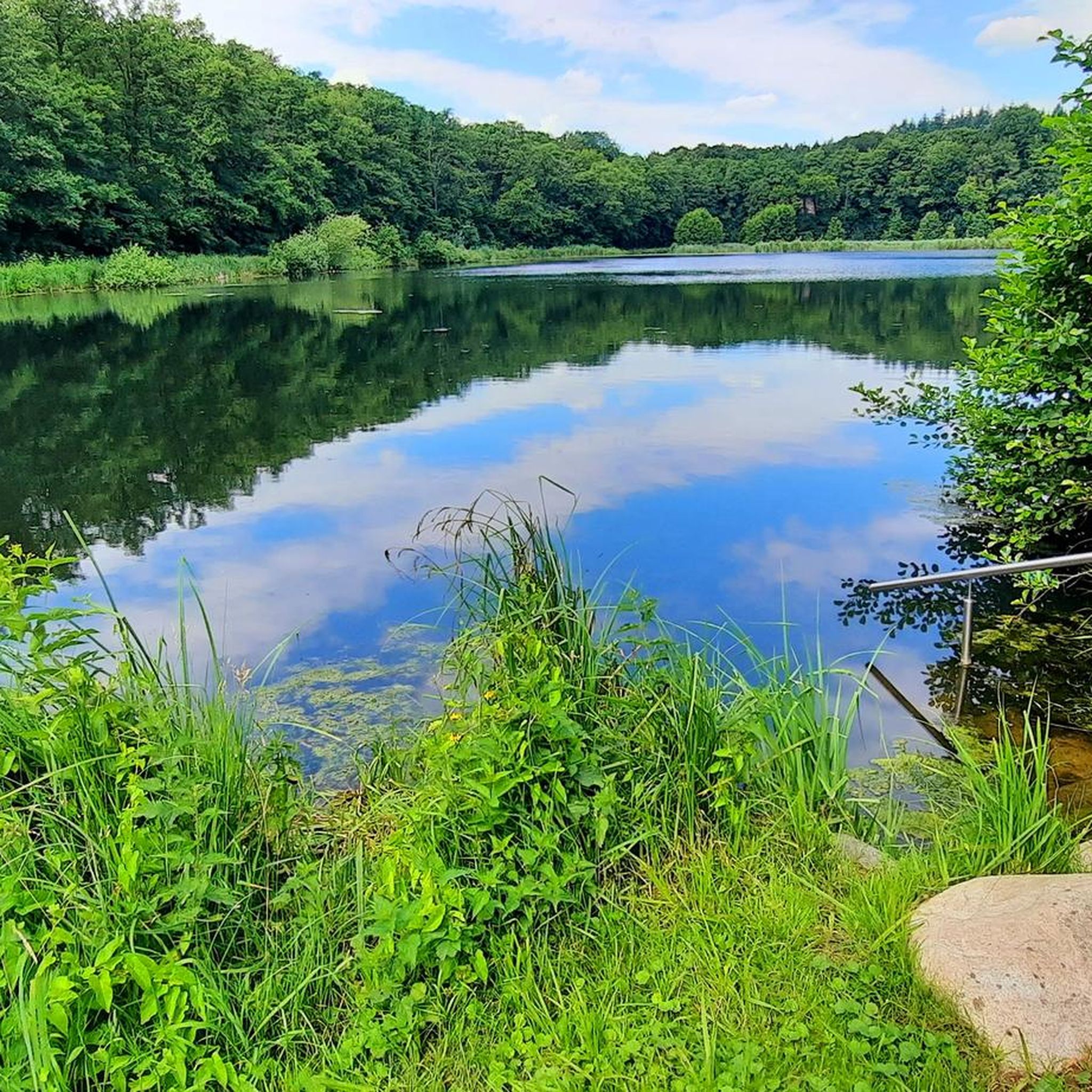
Road cycling routes around Aueniederung und Nebentäler traverse a nature reserve characterized by the Aue river and its lowlands, alongside tributary valleys such as Tiefenbach and Steinbeck. The terrain is generally flat, with minimal elevation changes, making it suitable for longer distances. Cyclists will encounter a mix of surfaces, including asphalt, paved, and unpaved sections, as well as dedicated cycleways. The landscape features extensive reed beds, sedge meadows, and remnants of riparian forests, offering varied scenery for road cyclists.
Best…
Last updated: May 16, 2026
4.4
(16)
251
riders
63.7km
02:44
70m
70m
Moderate road ride. Good fitness required. Mostly well-paved surfaces and easy to ride.
3.5
(2)
85
riders
84.6km
03:28
100m
100m
Moderate road ride. Good fitness required. Mostly well-paved surfaces and easy to ride.

Sign up for free
4.7
(10)
65
riders
87.8km
03:37
180m
180m
Moderate road ride. Good fitness required. Mostly well-paved surfaces and easy to ride.
4.8
(9)
127
riders
53.1km
02:24
60m
60m
Moderate road ride. Good fitness required. Mostly well-paved surfaces and easy to ride.
4.3
(3)
29
riders
67.2km
02:55
210m
210m
Moderate road ride. Good fitness required. Some segments of this route may be unpaved and difficult to ride.
Get access to more routes and recommendations from other explorers.
Sign up for free
Already have an account?
Our route recommendations are based on thousands of hikes, rides, and runs completed by other people on komoot.
Start today with a free account
Your next adventure awaits.
Login or Signup
Tips from the Community

Definitely cycle through the endless apple orchards
0
0

Great cycle path through nature. Always along the railway line
0
0

It's always nice to go for a hike or a bike tour here. Highly recommended.
6
0

The dykes on the Lühe are listed as historical monuments. The villages on both sides of the Lühe: Mittelnkirchen Ort, Mittelnkirchen Hohenfelde, Neuenkirchen east of the river and Bergfried and Guderhandviertel west of the river are typical, historic dyke-strip villages of the Altes Land – just like Leeswig, Königreich, Hove and Moorende on the Este –. They follow the curves of the river, as do the dyke and the road. The farmhouses face the dyke with their decorated gables, separated from each other by ditches, with the typical front gardens. The farm buildings, orchards, the historic strips of the agricultural land extend behind the houses in long strips.
0
0
A great hiking trail leads here through beautiful nature on the Estedeich. Highly recommended and interesting at the same time.
1
0
You can enjoy and undertake a beautiful little hike here. The windmill is worth visiting, it is 24 m high in total. In 1911, an engine was installed, and decommissioning took place in 1961. In 1984, the Borsteler Mühle „Aurora“ was restored with funds from the district of Stade after its acquisition and has been made available for visits ever since. Unfortunately, it has been closed again for several years, but is currently undergoing restoration. Directly behind the windmill, there is free parking. A beautiful sight is the old village church, the Historic Harbor, as well as the great old half-timbered houses of Borstel.
1
0
Dreamlike beautiful hiking and cycling route leads here amidst the apple orchards. Absolutely spectacular and recommendable.
1
0
A great cycling and hiking route runs here amidst beautiful nature 💚.
1
0
Frequently Asked Questions
How many road cycling routes are available in Aueniederung und Nebentäler?
There are over 380 road cycling routes available in Aueniederung und Nebentäler, catering to various skill levels. You'll find a wide selection, with 88 routes rated as easy, 289 as moderate, and 8 as difficult.
What kind of terrain and surfaces can I expect on road cycling routes in Aueniederung und Nebentäler?
The region is characterized by generally flat terrain with minimal elevation changes, making it suitable for longer distances. However, road cyclists should be prepared for a mix of surfaces. While there are dedicated cycleways and asphalt sections, many routes also include paved and unpaved segments, reflecting the area's natural reserve status and suitability for gravel cycling.
Are there any circular road cycling routes in Aueniederung und Nebentäler?
Yes, many of the road cycling routes in Aueniederung und Nebentäler are designed as loops, allowing you to start and finish at the same point. For example, the Hove Route (east of the Este) – Elberadweg Riverside Path loop from Horneburg is a popular circular option that offers views along the river.
What interesting sights or landmarks can I see along the road cycling routes?
The region offers several points of interest. You can encounter natural features like the Aue Stream and the Steinbeck Stream within the Aueniederung und Nebentäler Nature Reserve. Other notable sights include the Wooden boardwalk in Aueniederung and Side Valleys, the Daudieck Estate Lake, and the Gut Daudiek Pond Area, a historically significant site. The Monastery Park in Harsefeld and the 'Garten der Steine' (Garden of Stones) are also worth exploring.
Is Aueniederung und Nebentäler suitable for beginner road cyclists?
Yes, Aueniederung und Nebentäler offers 88 easy road cycling routes, making it suitable for beginners. The generally flat terrain with minimal elevation changes provides a comfortable experience for those new to road cycling or looking for a relaxed ride. Routes like the Elberadweg Riverside Path – Jorker Mill loop from Horneburg are good options for less experienced riders.
What do other cyclists say about road cycling in Aueniederung und Nebentäler?
The road cycling routes in Aueniederung und Nebentäler are highly regarded by the komoot community, with an impressive average rating of 4.6 stars from over 590 reviews. More than 8,200 road cyclists have explored the varied terrain, often praising the scenic river valleys, lowlands, and wooded areas that define the region.
Can I find family-friendly road cycling routes in Aueniederung und Nebentäler?
While specific 'family-friendly' designations for road cycling routes are not always explicit, the abundance of easy routes and the generally flat terrain make many paths suitable for families. The nature reserve setting provides a pleasant environment for rides, though some routes may include mixed surfaces, so consider this when planning with children.
Are dogs allowed on road cycling routes in Aueniederung und Nebentäler?
As a nature reserve, specific rules regarding dogs may apply. Generally, dogs are welcome on many paths, but it's crucial to keep them on a leash to protect wildlife and ensure the safety of other users. Always check local signage for any specific restrictions within sensitive areas of the Aueniederung und Nebentäler Nature Reserve.
Where can I park my car when visiting Aueniederung und Nebentäler for road cycling?
While specific parking locations for each route are not detailed, popular starting points like Horneburg and Ruschwedel, which are hubs for many routes, typically offer parking facilities. It's advisable to check local maps or komoot route details for designated parking areas near your chosen starting point.
What is the best time of year for road cycling in Aueniederung und Nebentäler?
The best time for road cycling in Aueniederung und Nebentäler is generally during the spring, summer, and early autumn months. During these periods, the weather is milder, and the natural landscapes, including wildflowers and lush greenery, are at their most vibrant. The wooden bridges make marshy areas accessible year-round, but drier conditions are preferable for the mixed surfaces.
Are there any challenging road cycling routes for experienced riders?
Yes, for experienced riders seeking a challenge, there are 8 difficult road cycling routes in Aueniederung und Nebentäler. These routes might feature longer distances or more varied terrain, providing a more demanding experience. An example of a longer, moderate route that can be part of a challenging day is the Schwinge Bascule Bridge – Schwinge River Crossing loop from Ruschwedel, which covers over 87 km.
Can I access the road cycling routes using public transport?
The region is accessible by public transport, with towns like Horneburg serving as common starting points for many routes. You can often reach these towns via regional train or bus services. It's recommended to check local public transport schedules and policies regarding bicycle carriage before your trip.
Are there cafes or restaurants along the road cycling routes in Aueniederung und Nebentäler?
While the routes primarily traverse natural landscapes, towns and villages within or near the Aueniederung und Nebentäler region, such as Horneburg or Harsefeld, offer cafes and restaurants where cyclists can take a break and refuel. Planning your route with these stops in mind can enhance your cycling experience.
Most popular routes around Aueniederung und Nebentäler
Most popular attractions around Aueniederung und Nebentäler

Get inspired with the komoot mobile app


Explore more
Browse the best Road cycling routes in other regions.
