The best MTB trails around Aueniederung und Nebentäler
4.6
(688)
1,307
riders
261
rides
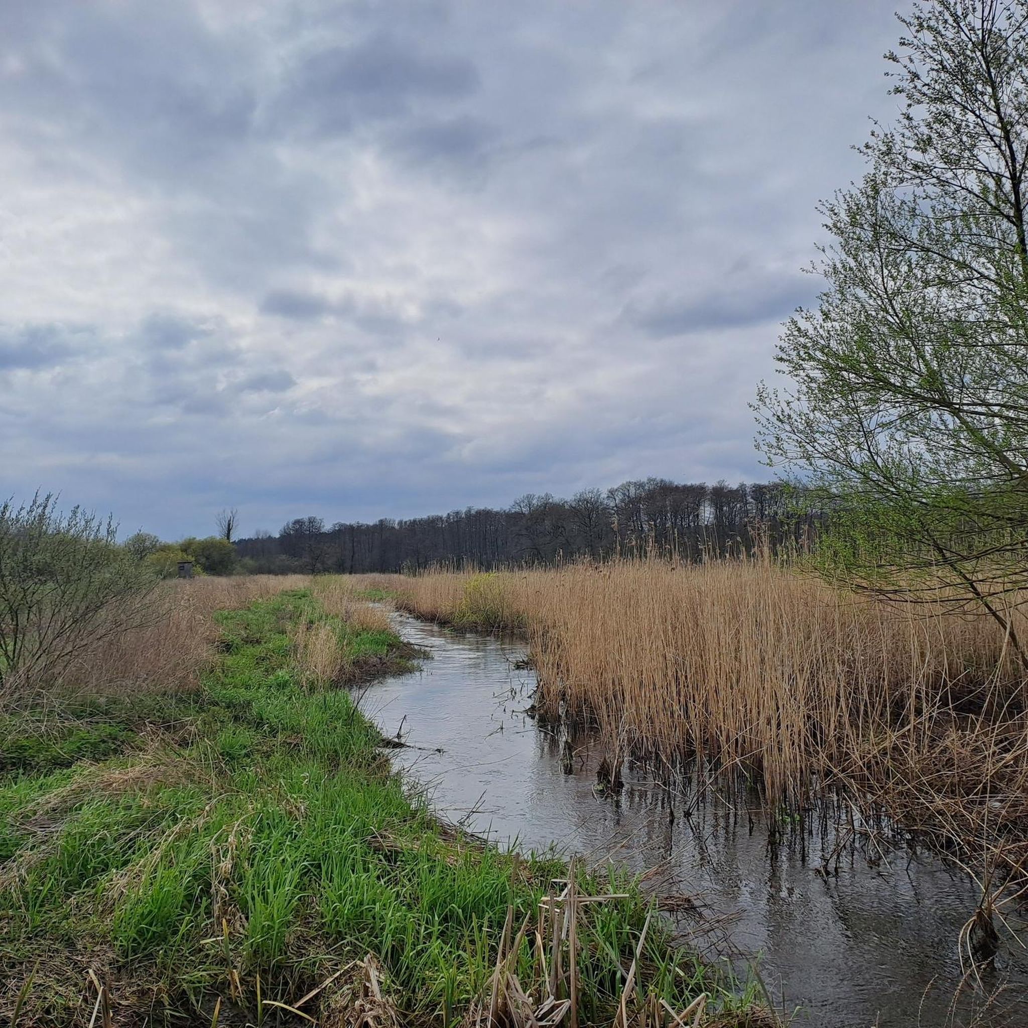
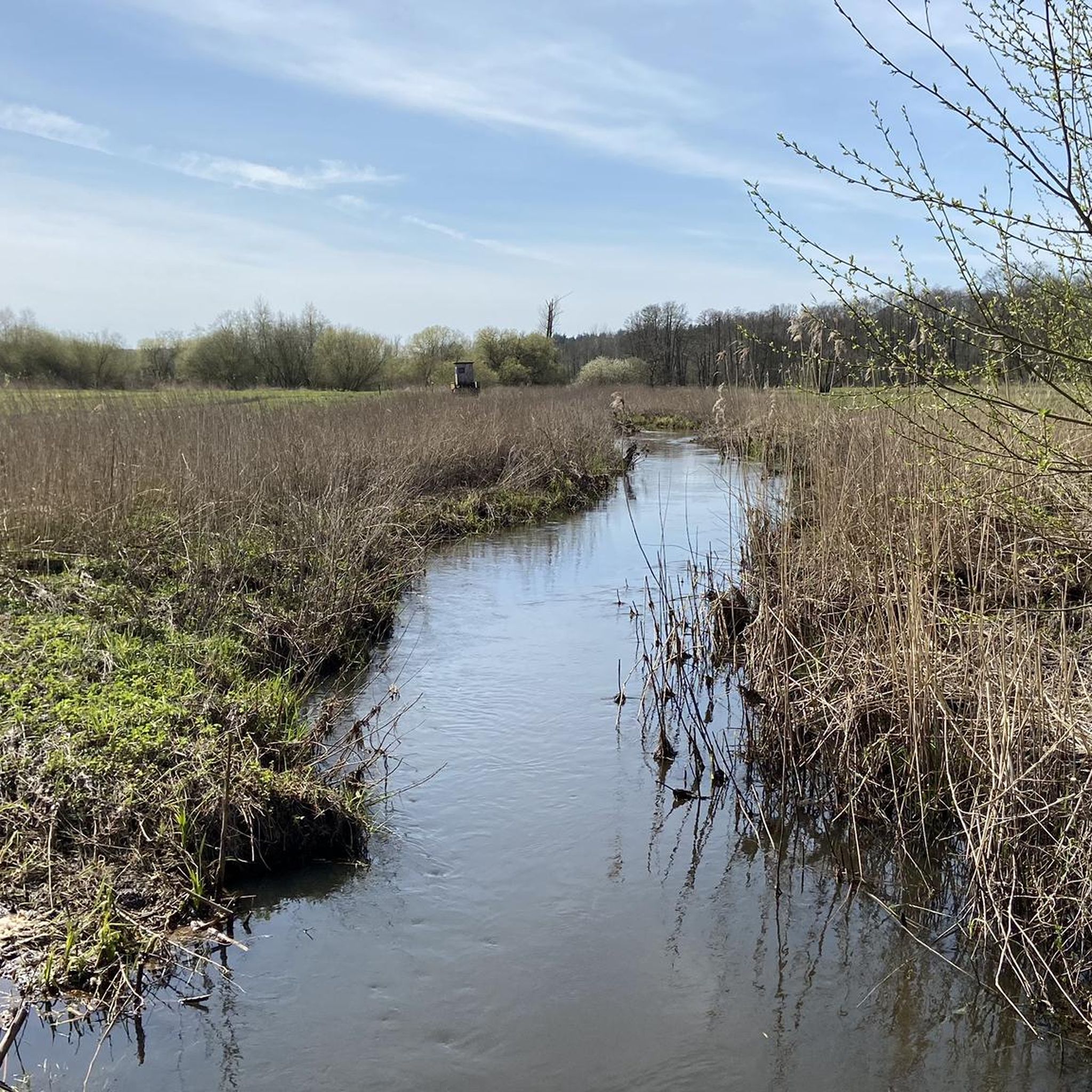
Mountain biking around Aueniederung und Nebentäler offers diverse terrain through a designated nature reserve. The region features a mosaic of habitats, including extensive reed beds, sedge meadows, and wet grasslands, interspersed with softwood alluvial forests. Winding waterways like the Aue river and its tributaries create picturesque routes through river valleys. The landscape provides varied riding experiences, from forest paths and riverside trails to routes through grasslands, with gentle elevation changes.
Best mountain bike trails around Aueniederung und Nebentäler
- The most…
Last updated: May 15, 2026
4.4
(7)
18
riders
25.3km
01:43
110m
110m
Easy mountain bike ride. Great for any fitness level. Suitable for all skill levels.
5.0
(2)
11
riders
Easy mountain bike ride. Great for any fitness level. Suitable for all skill levels.

Sign up for free
5.0
(1)
10
riders
39.1km
02:21
100m
100m
Moderate mountain bike ride. Good fitness required. Suitable for all skill levels.
5.0
(1)
8
riders
23.7km
01:13
40m
40m
Easy mountain bike ride. Great for any fitness level. Suitable for all skill levels.
5.0
(3)
5
riders
Moderate mountain bike ride. Good fitness required. Suitable for all skill levels.
Get access to more routes and recommendations from other explorers.
Sign up for free
Already have an account?
Our route recommendations are based on thousands of hikes, rides, and runs completed by other people on komoot.
Start today with a free account
Your next adventure awaits.
Login or Signup
Tips from the Community

A great cycling and hiking route runs here amidst beautiful nature 💚 highly recommended 👍.
1
0

Great cycle path through nature. Always along the railway line
0
0

The Auetal is worth a visit....whether on foot or by bike (and it doesn't matter if with natural / chain or hub gears or with an e-bike). Many paths are flat / without significant gradients. I myself have my health limitations and for me these routes are also challenges, but doable....each at their own pace and difficulty level. I even know some who were able to reduce their medication dosage because of it.... So, just be brave and start slowly or increase gradually...many things are doable (perhaps for everyone, but for some).
0
0
A great cycle route and hiking trail runs along here directly beside the railway line. The path has been laid with gravel and is now easier to cycle on. A nice short shortcut. Highly recommended.
1
0

Beautiful bridge in Auetal - in 2023 the boards of the walking surface were renewed.
0
0
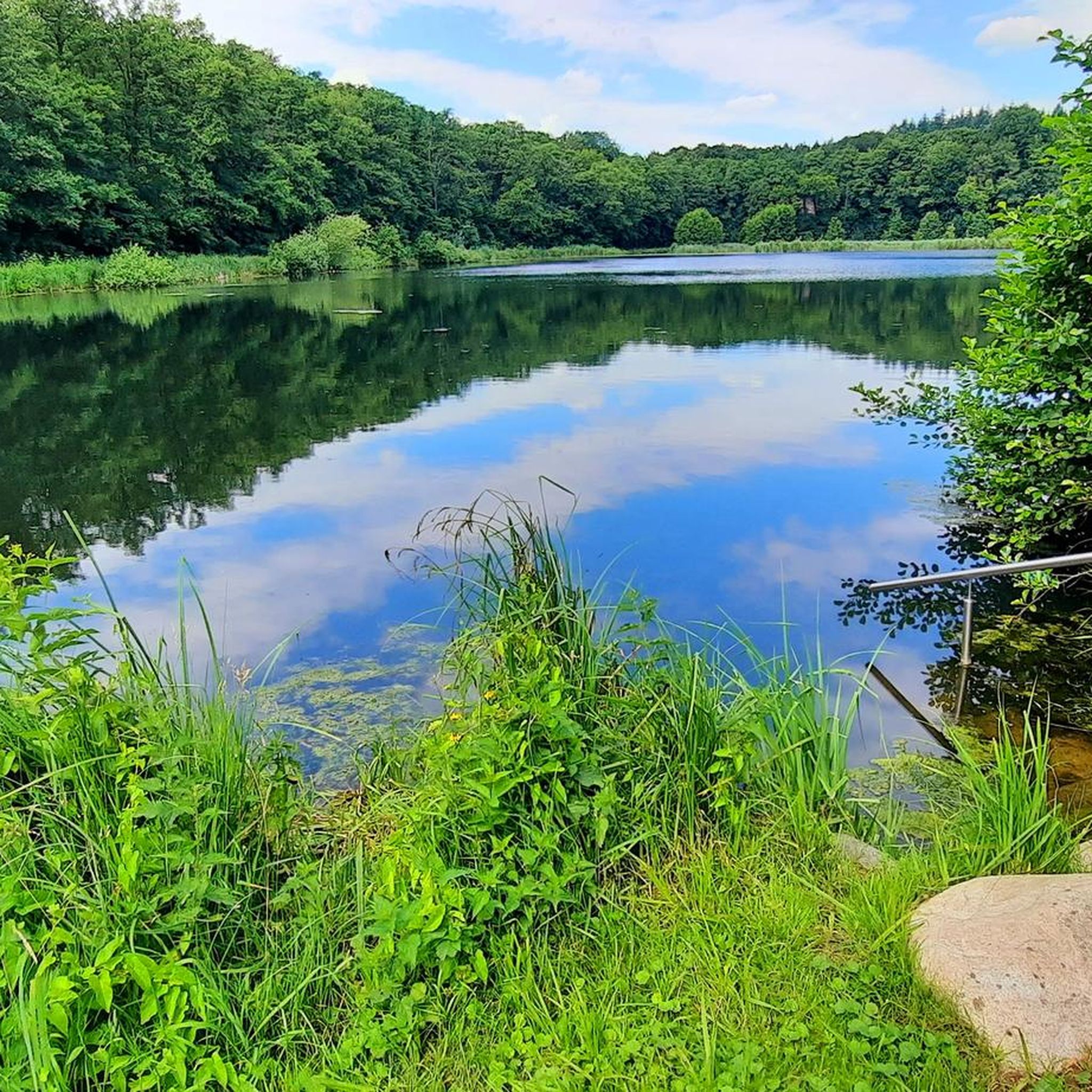
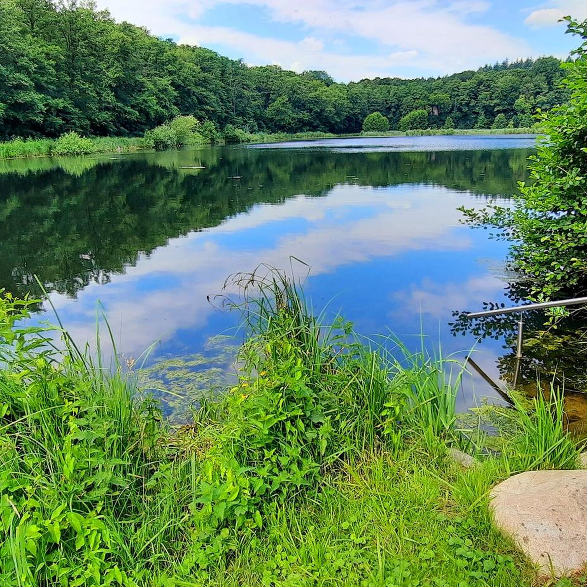
A great bike and hiking route runs here amidst beautiful nature 💚. The pond is located directly on the federal road on private property with a hut and some sheep.
7
0
A great bike and hiking route leads through the Rüstjer Forst, various hiking trails run here amidst beautiful nature.
1
0
The Auental offers many possibilities for a hike or bike tour. It is beautiful and relaxing here.
1
0
Frequently Asked Questions
How many mountain bike trails are available in Aueniederung und Nebentäler?
There are over 270 mountain bike trails in Aueniederung und Nebentäler, offering a wide range of options for different skill levels and preferences.
What kind of terrain can I expect on mountain bike trails in Aueniederung und Nebentäler?
The region features diverse terrain, including forest paths, riverside trails, and routes through grasslands. You'll encounter a mosaic of habitats, from extensive reed beds and wet meadows to softwood alluvial forests. The winding Aue river and its tributaries also contribute to picturesque routes through river valleys, offering a dynamic riding experience.
Are there mountain bike trails suitable for beginners in Aueniederung und Nebentäler?
Yes, Aueniederung und Nebentäler offers many easy mountain bike trails perfect for beginners. Nearly half of the routes, around 119, are classified as easy. An example is the Wonderful cycle path from Horneburg to Stade loop from Horneburg, which is a gentle 14.7-mile (23.7 km) ride.
Are there challenging mountain bike trails for experienced riders in Aueniederung und Nebentäler?
While the majority of trails are easy to moderate, there are a few more challenging routes for experienced riders. These trails might involve more technical sections or longer distances, requiring good fitness and advanced riding skills. You can find 3 routes classified as difficult in the area.
What is the best time of year for mountain biking in Aueniederung und Nebentäler?
The best time for mountain biking in Aueniederung und Nebentäler is generally from spring through autumn. During these seasons, the weather is more favorable, and the diverse ecosystems, including reed beds, meadows, and forests, are at their most vibrant. The valley floor's groundwater influence means some areas can be wet, so checking conditions is always a good idea.
What interesting sights or landmarks can I see along the mountain bike trails in Aueniederung und Nebentäler?
Many trails lead past interesting natural and cultural highlights. You might encounter the Wooden boardwalk in Aueniederung and Side Valleys, offering unique views of the wetlands, or the Steinbecktal Forest Trail. The region also features several lakes and ponds, such as the Daudieck Estate Lake.
Are there any unique natural features to explore while mountain biking in the region?
Absolutely. The Aueniederung und Nebentäler is a designated nature reserve with diverse ecosystems. You can explore extensive reed beds, sedge meadows, and wet grasslands, as well as remnants of softwood alluvial forests. The winding Aue river and its tributaries create picturesque routes, and the region's moorlands, influenced by groundwater, offer unique wetland environments, sometimes accessible via wooden footbridges.
Are there circular mountain bike routes in Aueniederung und Nebentäler?
Yes, many mountain bike routes in the Aueniederung und Nebentäler are designed as loops, allowing you to start and end at the same point. For example, the Lühe-Anleger Ferry Terminal – Dike path along the Lühe loop from Horneburg is a popular circular route that offers scenic views along the Lühe dike.
Is parking available for mountain bikers in Aueniederung und Nebentäler?
Yes, parking is generally available at various starting points for trails throughout the Aueniederung und Nebentäler region. Many routes begin near towns or villages where public parking facilities can be found, making it convenient to access the trails.
Can I reach the mountain bike trails in Aueniederung und Nebentäler by public transport?
Public transport options, such as regional trains and buses, serve some of the towns and villages surrounding the Aueniederung und Nebentäler. It's advisable to check local public transport schedules and bike carriage policies to plan your journey to the trailheads effectively.
What do other mountain bikers enjoy the most about mountain biking in Aueniederung und Nebentäler?
The area is highly rated by the komoot community, with an average score of 4.5 stars from over 600 reviews. Mountain bikers often praise the diverse and picturesque landscapes, the tranquility of the river and forest environments, and the variety of trails that cater to different skill levels. The well-documented routes and established network are also frequently highlighted.
Are there any family-friendly mountain bike trails in Aueniederung und Nebentäler?
Many of the easy-rated trails in Aueniederung und Nebentäler are suitable for families. These routes often feature mostly paved or well-maintained paths with gentle elevation changes, making them enjoyable for riders of all ages. The scenic river valleys and forest paths provide a pleasant backdrop for a family outing.
Most popular routes around Aueniederung und Nebentäler
Most popular attractions around Aueniederung und Nebentäler

Get inspired with the komoot mobile app


Explore more
Browse the best MTB trails in other regions.
