The best road cycling routes around Alameda Del Valle
4.7
(58)
6,180
riders
29
rides
Road cycling routes around Alameda Del Valle are situated in the Sierra Norte of Madrid, within the Alto Lozoya Valley. This region features mountainous terrain with significant elevation changes, including notable passes and river valleys. The landscape is characterized by emerald meadows, forests, and the meandering Lozoya River, offering diverse scenery for road cyclists. Routes often involve climbs through mountain passes and descents into tranquil valleys.
Best road cycling routes around Alameda Del Valle
- The most popular road cycling route…
Last updated: October 7, 2026
5.0
(13)
1,300
riders
Hard road ride. Very good fitness required. Mostly well-paved surfaces and easy to ride.
5.0
(13)
1,223
riders
63.4km
03:34
1,270m
1,260m
Hard road ride. Very good fitness required. Mostly well-paved surfaces and easy to ride.

321
riders
68.0km
03:38
1,340m
1,330m
Hard road ride. Very good fitness required. Mostly well-paved surfaces and easy to ride.
54
riders
Hard road ride. Very good fitness required. Mostly well-paved surfaces and easy to ride.
4.7
(3)
50
riders
38.1km
02:03
750m
750m
Moderate road ride. Good fitness required. Mostly well-paved surfaces and easy to ride.
Get access to more routes and recommendations from other explorers.
Already have an account?
Our route recommendations are based on thousands of hikes, rides, and runs completed by other people on komoot.
Start today with a free account
Your next adventure awaits.

Tips from the Community

Watch out for the asphalt on the descent, there are potholes and the surface is quite uneven. You won't even notice it on the climb.
0
0

The water of the rich of Madrid. Shade and beware of a lot of traffic on weekends
0
0

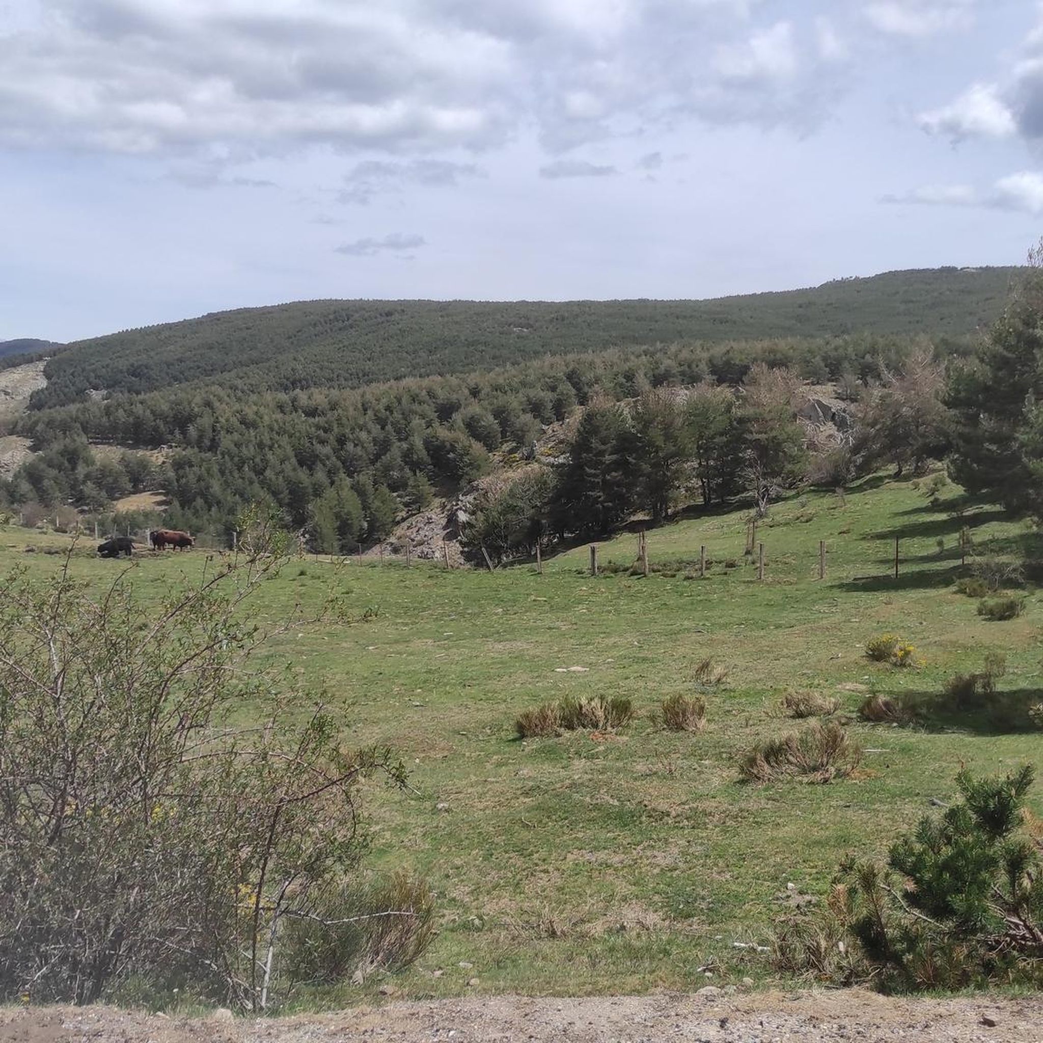
It is located in the Sierra de Guadarrama mountain range, between the municipalities of Miraflores de la Sierra and Rascafría, in the Community of Madrid. From Miraflores de la Sierra (1200m), the route ascends approximately 600m over 10km (average gradient 4–6%), and after reaching the summit, it descends 13km to Rascafría (1150m) with a gradient of 4.5–7%.
6
0

Good water and the place is beautiful. A bit crowded if you're right next to it.
1
0

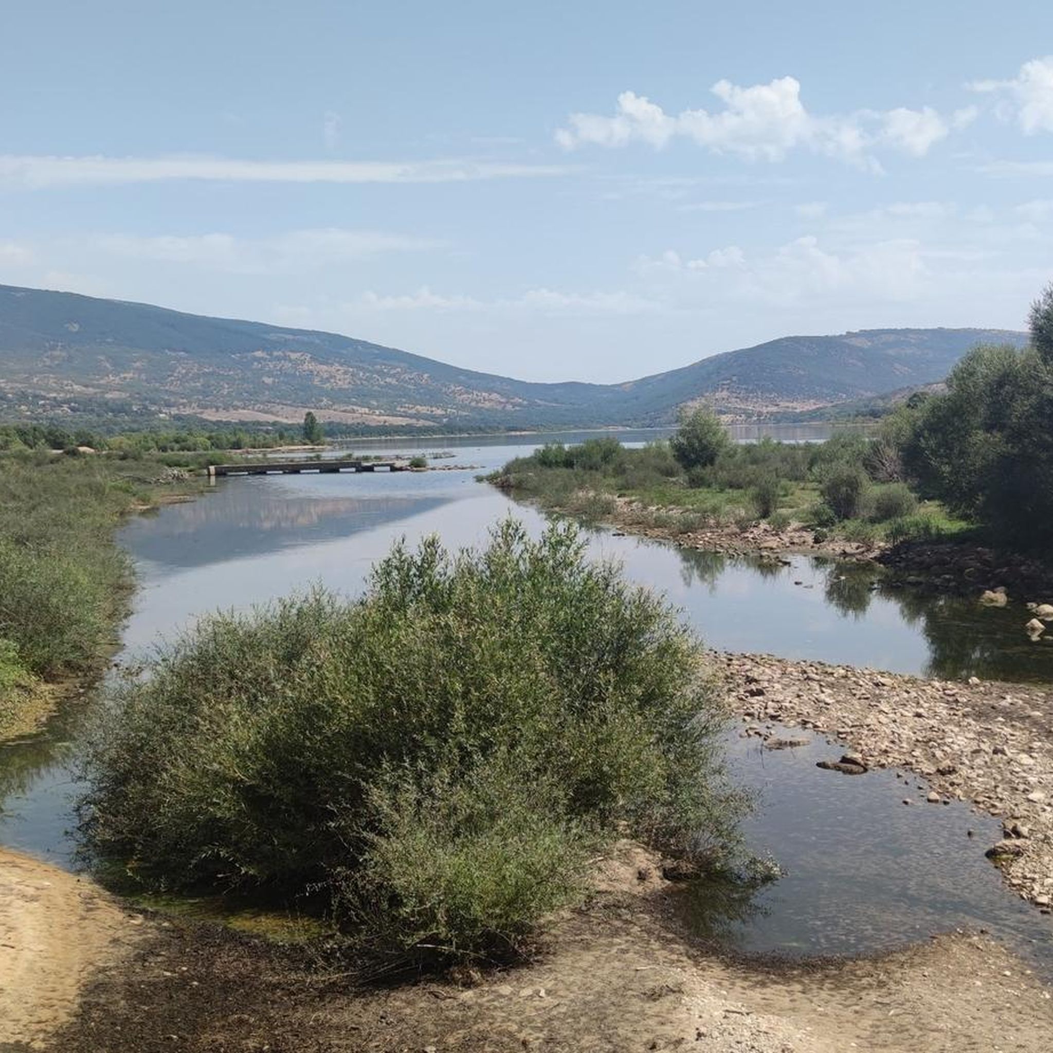
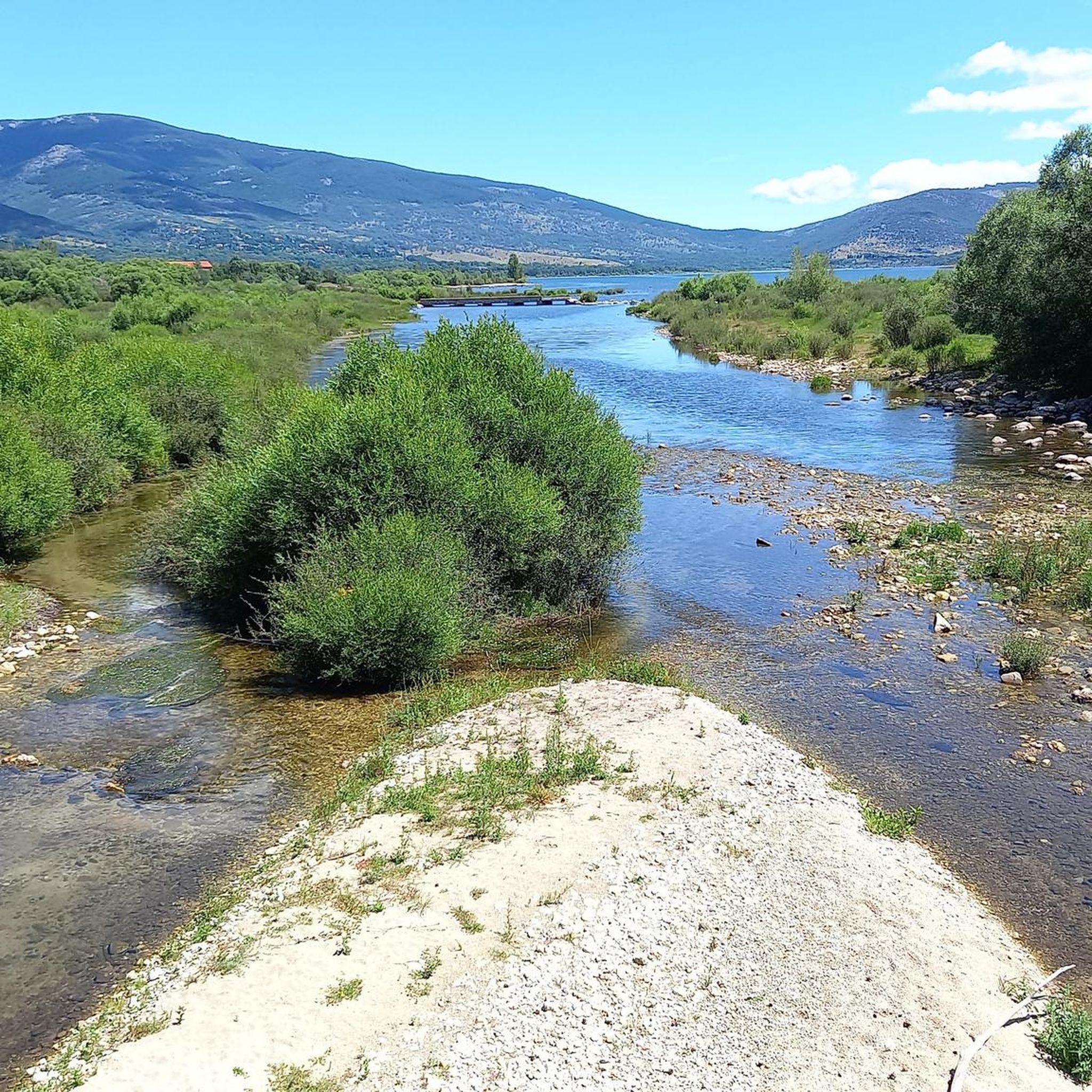
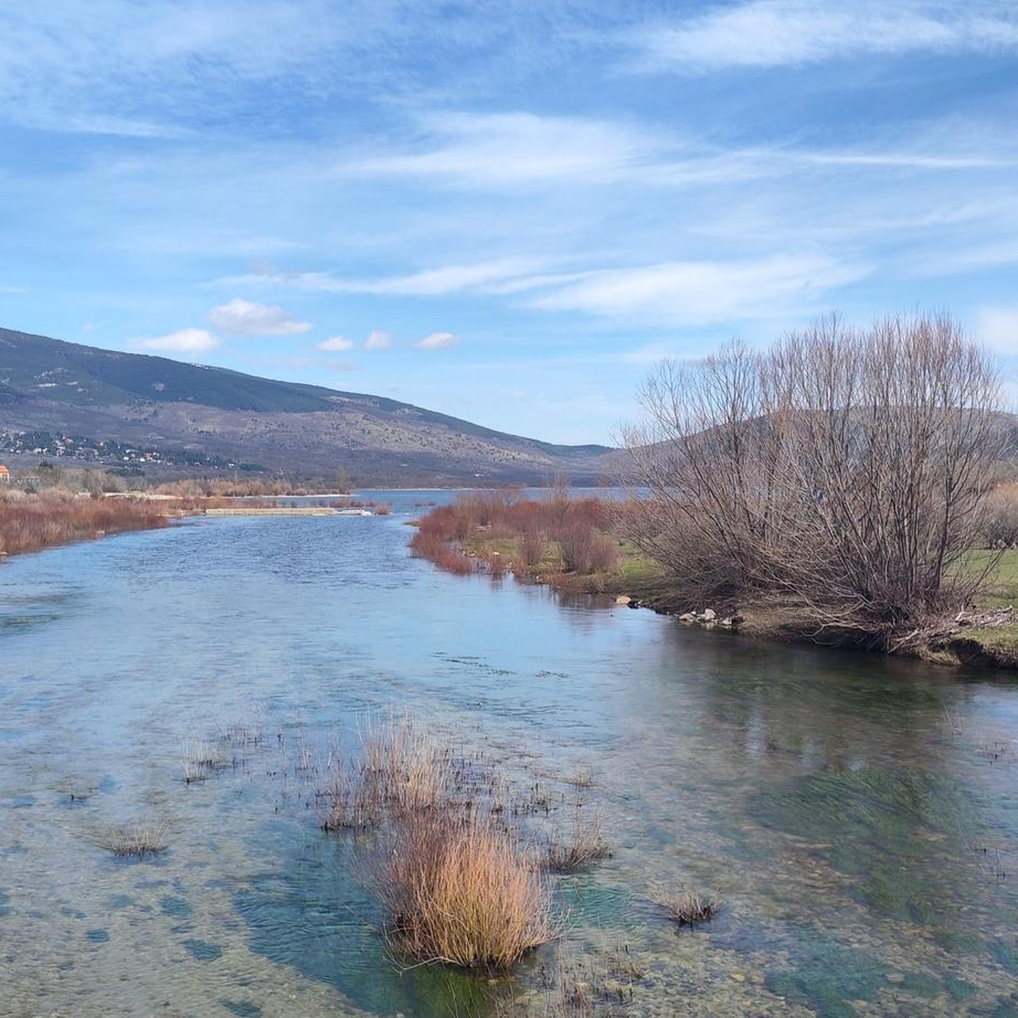
Ascent to Morcuera from Rascafría with views of the Pinilla reservoir
0
0

A beautiful town in the Sierra de Madrid, with particularly good water.
0
0

Fountain that you will find in the Puerto de Canencia.
0
0
Frequently Asked Questions
What is the typical difficulty level for road cycling routes around Alameda Del Valle?
Road cycling in Alameda Del Valle is characterized by mountainous terrain with significant elevation changes, including notable passes and river valleys. While there are some moderate routes, the majority, about half of the available routes, are considered difficult. For example, the Miraflores de la Sierra, Puertos de Canencia y Rascafría, Embalse de Pinilla – circular route is a challenging 39.9-mile ride with substantial climbs. A good moderate option is the Navafría Pass – Puerto de Navafría loop from Alameda del Valle.
What kind of scenic views and landmarks can I expect on road cycling routes in Alameda Del Valle?
The routes offer stunning natural beauty, including emerald meadows, majestic mountains with snow-capped peaks, and the meandering Lozoya River. You'll encounter panoramic views of the Peñalara massif and ride through diverse ecosystems like gallery forests. Notable landmarks you might pass include the Canencia Pass, La Morcuera Pass, and the historic Monastery of El Paular.
Are there any circular road cycling routes in Alameda Del Valle?
Yes, many of the road cycling routes in Alameda Del Valle are circular, allowing you to start and end in the same location. A popular example is the Miraflores de la Sierra, Canencia, Lozoya, Rascafría – circular route, which covers 39.4 miles through the Lozoya Valley. Another option is the Canencia Pass – Puerto de Canencia climb loop from Lozoya.
What is the best time of year for road cycling in Alameda Del Valle?
The region experiences distinct seasons. Spring and early summer are ideal for enjoying the emerald meadows and wildflowers. Autumn offers beautiful foliage. While the mountains can have snow-capped peaks, it's advisable to check weather conditions, especially for higher passes, during late autumn, winter, and early spring to ensure safe and enjoyable cycling.
What do other road cyclists enjoy the most about road cycling in Alameda Del Valle?
The area is highly rated by the komoot community, with an average score of 4.75 stars from over 20 reviews. Cyclists often praise the diverse scenery, from tranquil river valleys to challenging mountain passes, and the overall natural beauty of the Sierra Norte of Madrid. The variety of routes, catering to different ability levels, is also frequently highlighted.
Are there any waterfalls or natural monuments to see near the road cycling routes?
Yes, the region is rich in natural attractions. You can find several waterfalls, such as Purgatory Waterfall, Waterfall of the Arroyo de la Vejiga, and Chorro Grande Waterfall. The Caldera del Guindo is another notable natural monument in the vicinity.
How long are the road cycling routes around Alameda Del Valle typically?
The road cycling routes in Alameda Del Valle vary in length. Many popular routes are between 35 to 45 miles (approximately 56 to 72 km). For instance, the Monastery of El Paular – Plaza de España, Rascafría loop from Rascafría is about 46 miles (74 km) long, while the Navafría Pass – Puerto de Navafría loop from Alameda del Valle is around 23.6 miles (38 km).
Are there options for less experienced road cyclists in Alameda Del Valle?
While many routes feature significant climbs, there are options suitable for moderate skill levels. About a third of the routes are classified as moderate, offering a good balance of challenge and accessibility. These routes still provide beautiful scenery without the most extreme elevation gains found on the difficult trails.
What kind of terrain can I expect on the road cycling routes?
The terrain primarily consists of paved roads winding through mountainous passes, tranquil river valleys, and forested sections. You'll experience a mix of steady climbs, fast descents, and flatter sections along riverbeds, all set against a backdrop of diverse natural landscapes.
Are there any specific passes that are popular among road cyclists in the area?
Yes, the region is known for its mountain passes. The Canencia Pass and La Morcuera Pass are particularly popular among road cyclists for their challenging ascents and rewarding views. Routes often incorporate these passes, providing a classic mountain cycling experience.
Can I find places to eat or stay near the road cycling routes in Alameda Del Valle?
Alameda Del Valle is a village nestled in the Sierra Norte of Madrid, and the surrounding towns in the Alto Lozoya Valley offer amenities. While specific cafes or pubs directly on every route are not guaranteed, you can typically find places for refreshments and accommodation in the villages and towns along or near the cycling paths.
Most popular routes around Alameda Del Valle
Most popular attractions around Alameda Del Valle

Get inspired with the komoot mobile app


Explore more
Browse the best Road cycling routes in other regions.
