The best walks and hikes around Alameda Del Valle
4.6
(988)
6,724
hikers
256
hikes
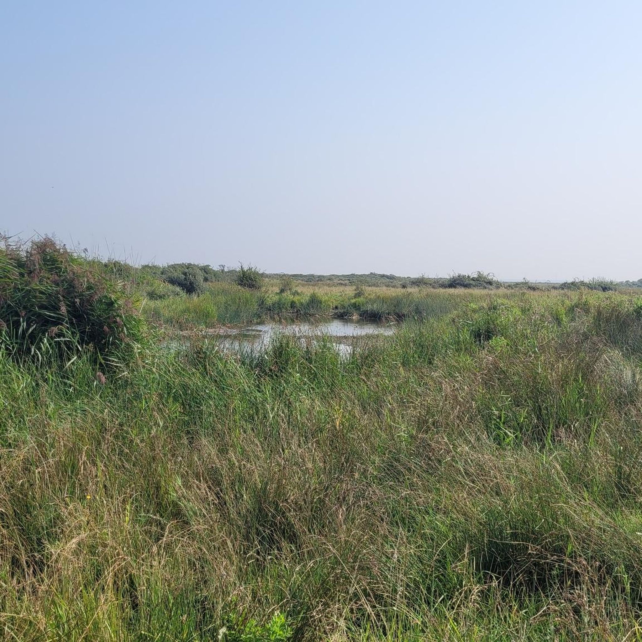
Hiking around Alameda Del Valle offers diverse landscapes, including oak woodlands, expansive grasslands, and riparian areas along creeks. The region features rolling hills that provide panoramic views, with Lake Del Valle as a central natural attraction. Trails range from gentle paths to more strenuous routes, traversing varied environments.
Best hiking trails around Alameda Del Valle
- The most popular hiking route is Calderuelas Loop, a 9.4 miles (15.2 km) trail that takes 5 hours 1 minute to complete. This difficult…
Last updated: September 28, 2026
4.8
(4)
47
hikers
9.60km
02:27
30m
30m
Moderate hike. Good fitness required. Easily-accessible paths. Suitable for all skill levels.
9
hikers
Moderate hike. Good fitness required. Easily-accessible paths. Suitable for all skill levels.

5.0
(2)
12
hikers
Moderate hike. Good fitness required. Easily-accessible paths. Suitable for all skill levels.
3
hikers
13.0km
03:25
100m
100m
Moderate hike. Good fitness required. Easily-accessible paths. Suitable for all skill levels.
10
hikers
Easy hike. Great for any fitness level. Easily-accessible paths. Suitable for all skill levels.
Get access to more routes and recommendations from other explorers.
Already have an account?
Our route recommendations are based on thousands of hikes, rides, and runs completed by other people on komoot.
Start today with a free account
Your next adventure awaits.
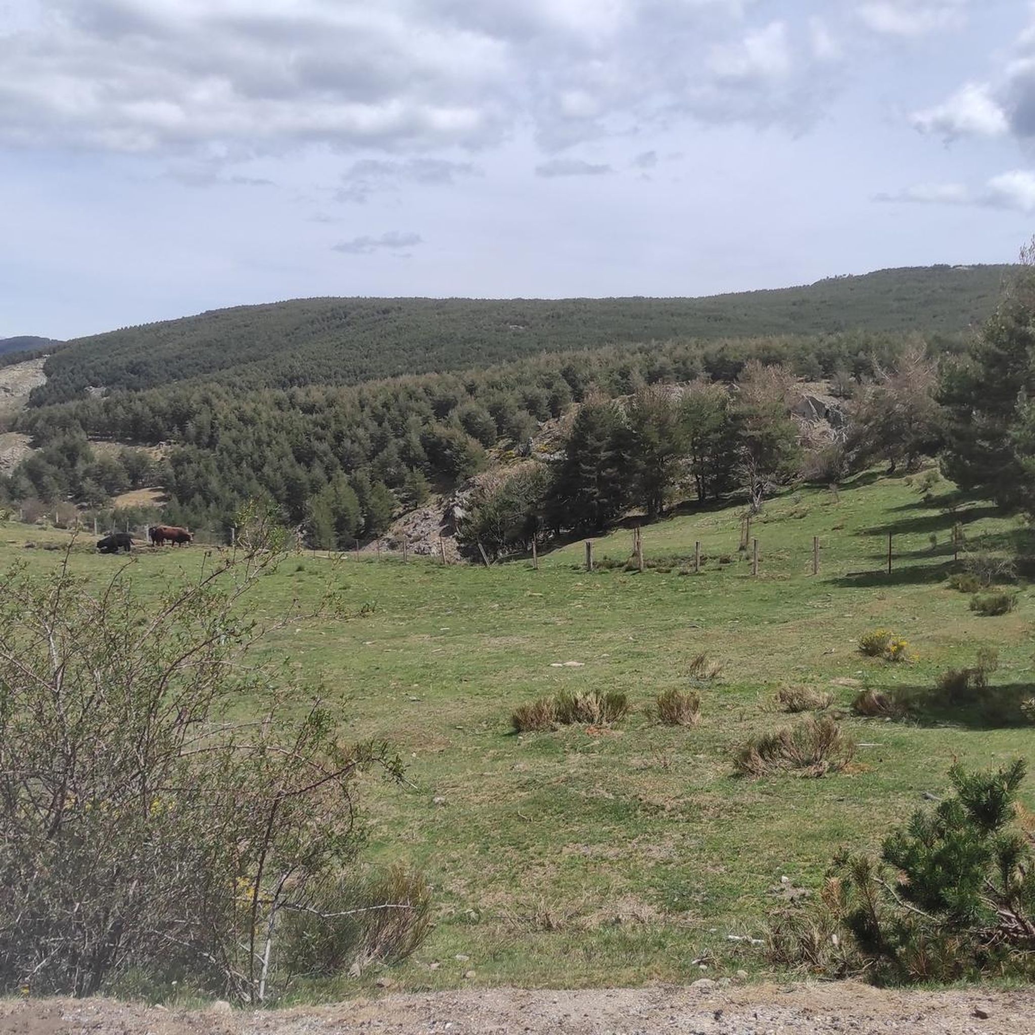
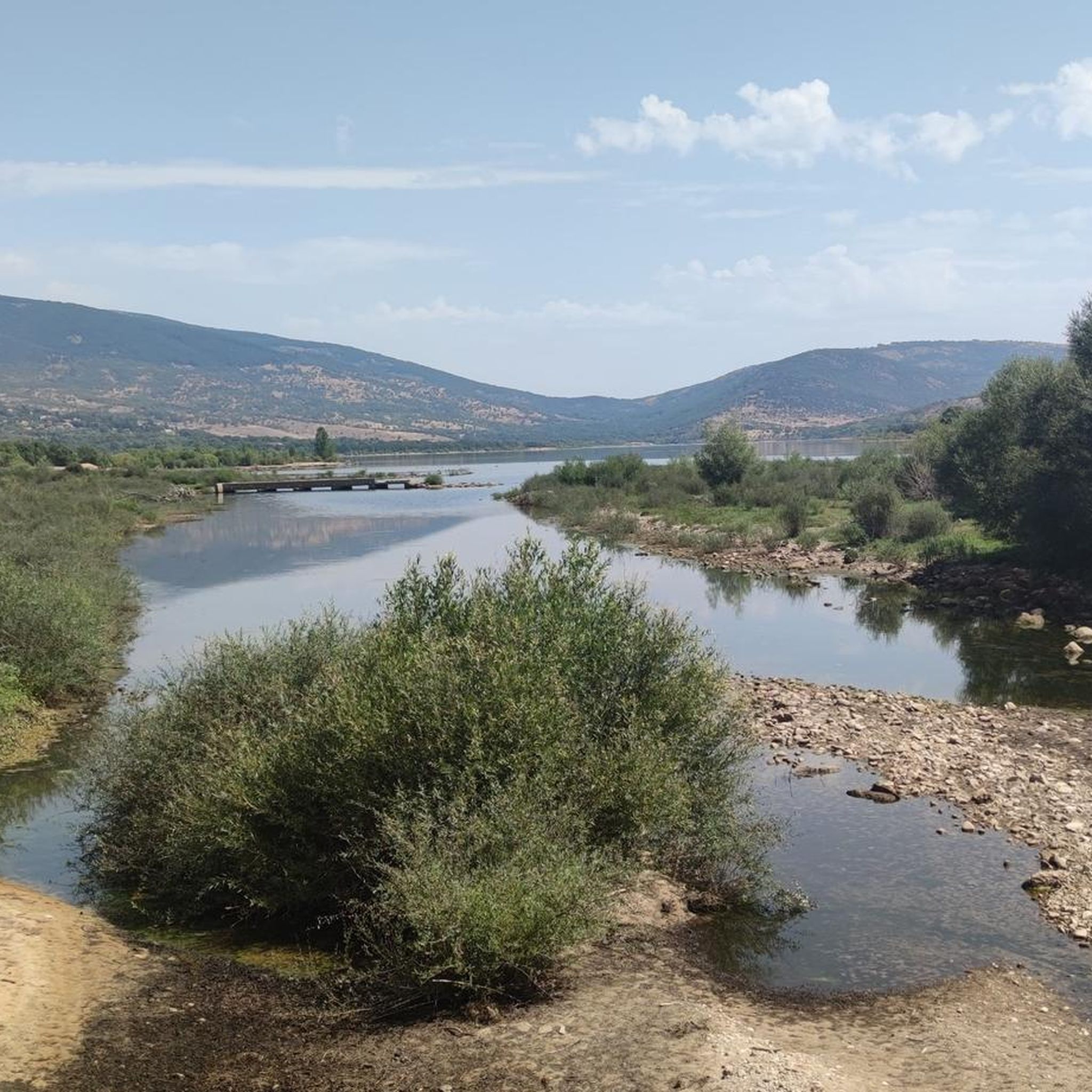
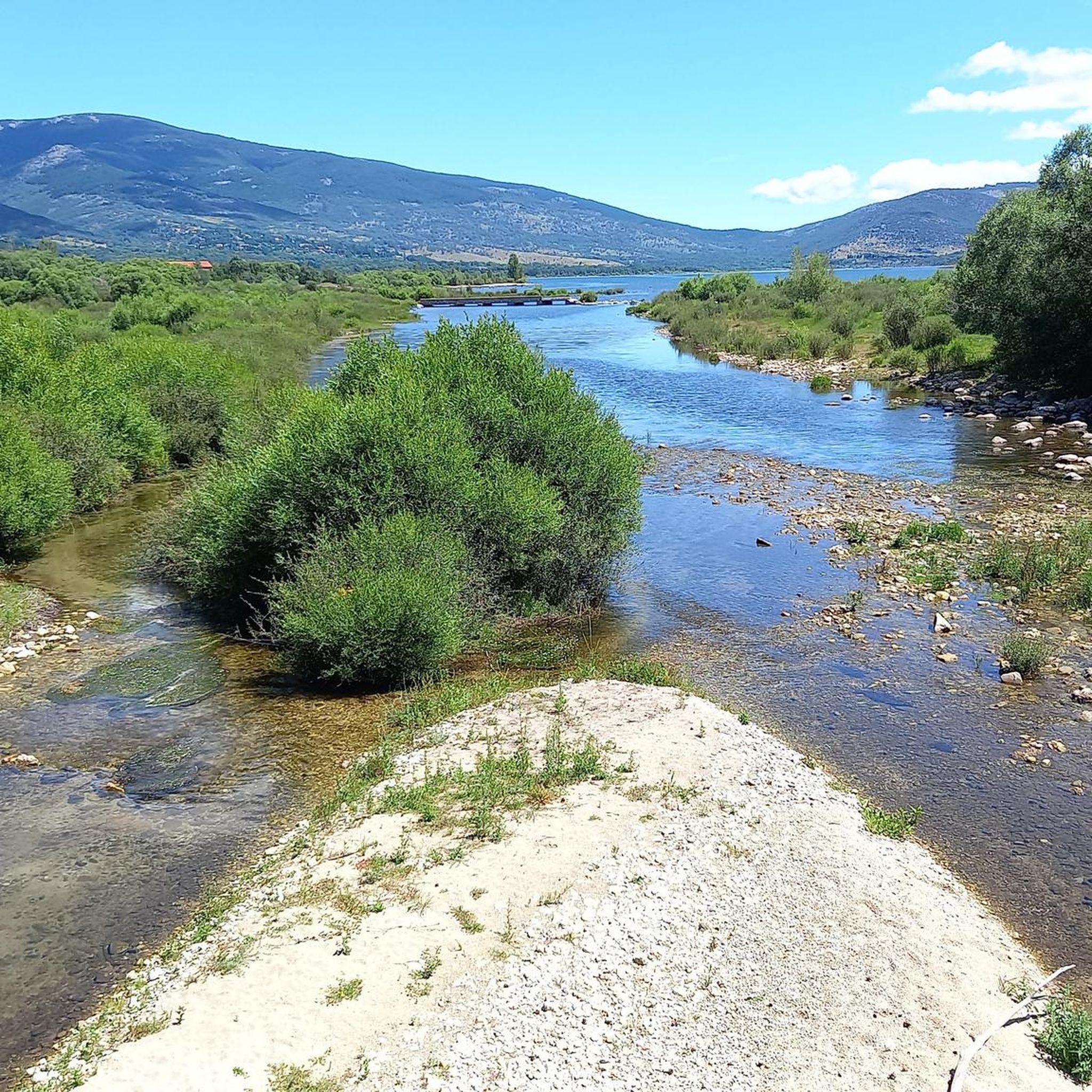

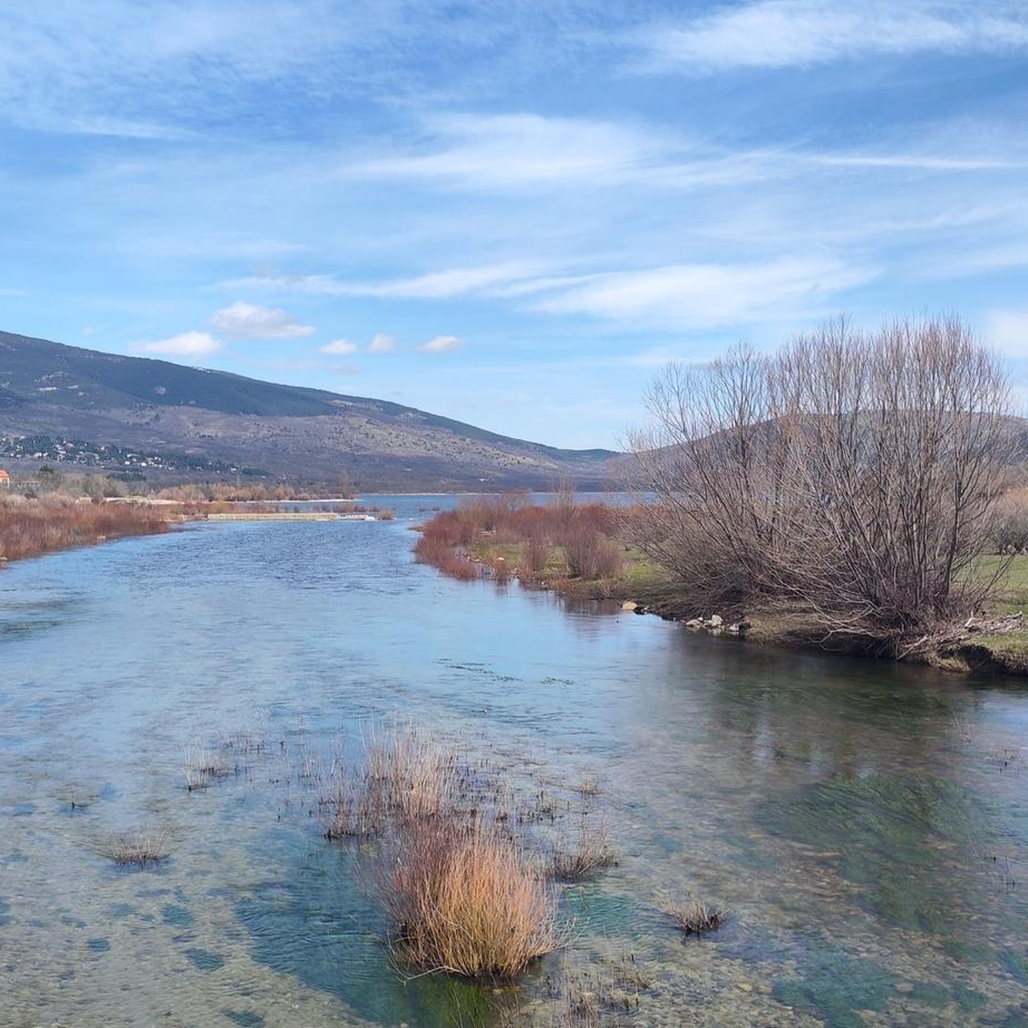
Tips from the Community


A beautiful town in the Sierra de Madrid, with particularly good water.
0
0

A beautiful bridge leads to the Finca de los Batanes, where the hostel is located. Opposite is the El Paular Monastery. From this bridge, there's a path that leads to the village of Rascafría, where I could see people walking and exercising.
0
0

Plaza de España, Templete. It is a small square with a temple, a fountain, and a bandstand. Quotes from illustrious figures who lived in or passed through Rascafría are inscribed on its wall.
0
0
Beautiful and lively town of Madrid in the Lozoya River valley.
0
0

The Puente del Perdón is a beautiful stone bridge over the Lozoya River, which dates back to the mid-18th century. It is located in the Guadarrama mountain range, in the municipality of Rascafría.
0
0

Rascafría is a beautiful village in the heart of the Sierra de Guadarrama mountain range. Located in the Lozoya Valley, it boasts an ideal location for cycling between the Morcuera and Cotos mountain passes. Its main monument is the Monastery of Santa María del Paular, nestled in a privileged setting blanketed with pine and oak forests. As its name suggests, it is one of the coldest villages in the Madrid region.
1
0

Natural pools for public use. A perfect place to take a break during the walk. There is a picnic area and a bar. We can also count on spectacular views of Pico Peñalara.
1
0
Frequently Asked Questions
How many hiking trails are there in Alameda Del Valle?
Alameda Del Valle offers a wide variety of hiking experiences, with over 240 routes available. These trails cater to different skill levels, from easy strolls to challenging ascents through diverse landscapes.
What is the best time of year to go hiking in Alameda Del Valle?
The best time to hike in Alameda Del Valle is typically from late February through May, when the weather is pleasant and the area comes alive with wildflowers like poppies and lupine. The region's oak woodlands and grasslands are particularly vibrant during this period. For more information on wildflowers, you can visit Visit California's guide to wildflowers.
Are there easy hiking trails suitable for beginners in Alameda Del Valle?
Yes, Alameda Del Valle has 24 easy hiking routes perfect for beginners or those looking for a relaxed walk. These trails often feature gentle terrain through oak woodlands and along lakeside paths, such as those found around Lake Del Valle.
Can I find challenging hikes for experienced trekkers in Alameda Del Valle?
Absolutely. For experienced hikers, there are 74 difficult routes available. Trails like the Calderuelas Loop, which is 9.4 miles long with significant elevation gain, offer a strenuous workout and extensive views of the surrounding rolling hills.
Are the trails in Alameda Del Valle dog-friendly?
Many trails in Alameda Del Valle, particularly within Del Valle Regional Park, are dog-friendly, though leash laws and specific park regulations may apply. It's always recommended to check the specific trail or park rules before heading out with your canine companion.
Are there family-friendly hiking options in Alameda Del Valle?
Yes, the region offers several family-friendly hiking options. Many easy trails are suitable for all ages, providing opportunities to explore oak woodlands and grasslands. Del Valle Regional Park, for instance, has accessible paths and picnic areas, making it ideal for a family outing.
What kind of landscapes can I expect to see while hiking in Alameda Del Valle?
Hikers in Alameda Del Valle can expect diverse landscapes, including expansive grasslands, dense oak woodlands, and riparian areas along creeks like the Arroyo del Valle. The central feature is Lake Del Valle, offering beautiful lakeside paths and panoramic views from higher elevations.
What natural attractions or landmarks can I explore near the hiking trails?
Near the hiking trails, you can explore several natural attractions. Notable lakes include Lake of the Birds and Las Presillas Natural Pools. There are also scenic viewpoints like Pinilla Reservoir Viewpoint and mountain passes such as Canencia Pass, offering stunning vistas.
Can I find circular hiking routes in Alameda Del Valle?
Yes, circular routes are a popular option in Alameda Del Valle. You can find many loop trails that allow you to start and end at the same point. An example is the Las Presillas del Lozoya – Finnish Forest loop from Rascafría, which takes you through forested areas.
Is public transport available to access the hiking areas in Alameda Del Valle?
Public transport options to access hiking areas like Del Valle Regional Park can be limited. It's advisable to check local transit schedules and routes in advance, as many trailheads are more easily reached by car. For specific park information, you might consult the California State Parks website at parks.ca.gov.
Are there parking facilities at the trailheads in Alameda Del Valle?
Many popular hiking areas, including Del Valle Regional Park, offer designated parking facilities at or near trailheads. However, parking fees may apply, especially in regional parks. It's recommended to arrive early during peak seasons to secure a spot.
What do other hikers enjoy the most about hiking in Alameda Del Valle?
The komoot community highly rates hiking in Alameda Del Valle, with an average score of 4.6 stars from over 830 reviews. Hikers often praise the diverse terrain, from oak woodlands to lakeside paths, and the panoramic views from the rolling hills. The well-maintained trails and opportunities to spot wildlife are also frequently highlighted.
Most popular routes around Alameda Del Valle
Most popular attractions around Alameda Del Valle

Get inspired with the komoot mobile app


Explore more
Browse the best Hikes in other regions.
