The best road cycling routes around Quintanilla Vivar
4.5
(124)
5,661
riders
121
rides
Road cycling routes around Quintanilla Vivar traverse a diverse landscape within the Alfoz de Burgos region, characterized by expansive cereal plains, rolling hills, and river valleys. The area offers varied topography, including the fertile valley of the River Urbierna and proximity to the Arlanzón River, providing a range of gradients for road cyclists. Many routes utilize asphalted roads with light traffic, making them suitable for exploring the natural beauty and historical sites.
Best road cycling routes around Quintanilla Vivar
- The…
Last updated: May 17, 2026
3
riders
38.6km
01:46
430m
430m
Cycle the moderate 24.0-mile Pedrosa de Río Urbel circular route from Sotopalacios, gaining 1413 feet in under 2 hours.
5.0
(8)
242
riders
85.8km
03:44
700m
700m
Moderate road ride. Good fitness required. Mostly well-paved surfaces and easy to ride.

Sign up for free
4.1
(8)
220
riders
Moderate road ride. Good fitness required. Some segments of this route may be unpaved and difficult to ride.
160
riders
96.5km
04:19
930m
930m
Hard road ride. Very good fitness required. Some segments of this route may be unpaved and difficult to ride.
146
riders
105km
04:32
880m
880m
Moderate road ride. Good fitness required. Some segments of this route may be unpaved and difficult to ride.
Get access to more routes and recommendations from other explorers.
Sign up for free
Already have an account?
Our route recommendations are based on thousands of hikes, rides, and runs completed by other people on komoot.
Start today with a free account
Your next adventure awaits.
Login or Signup
Popular around Quintanilla Vivar
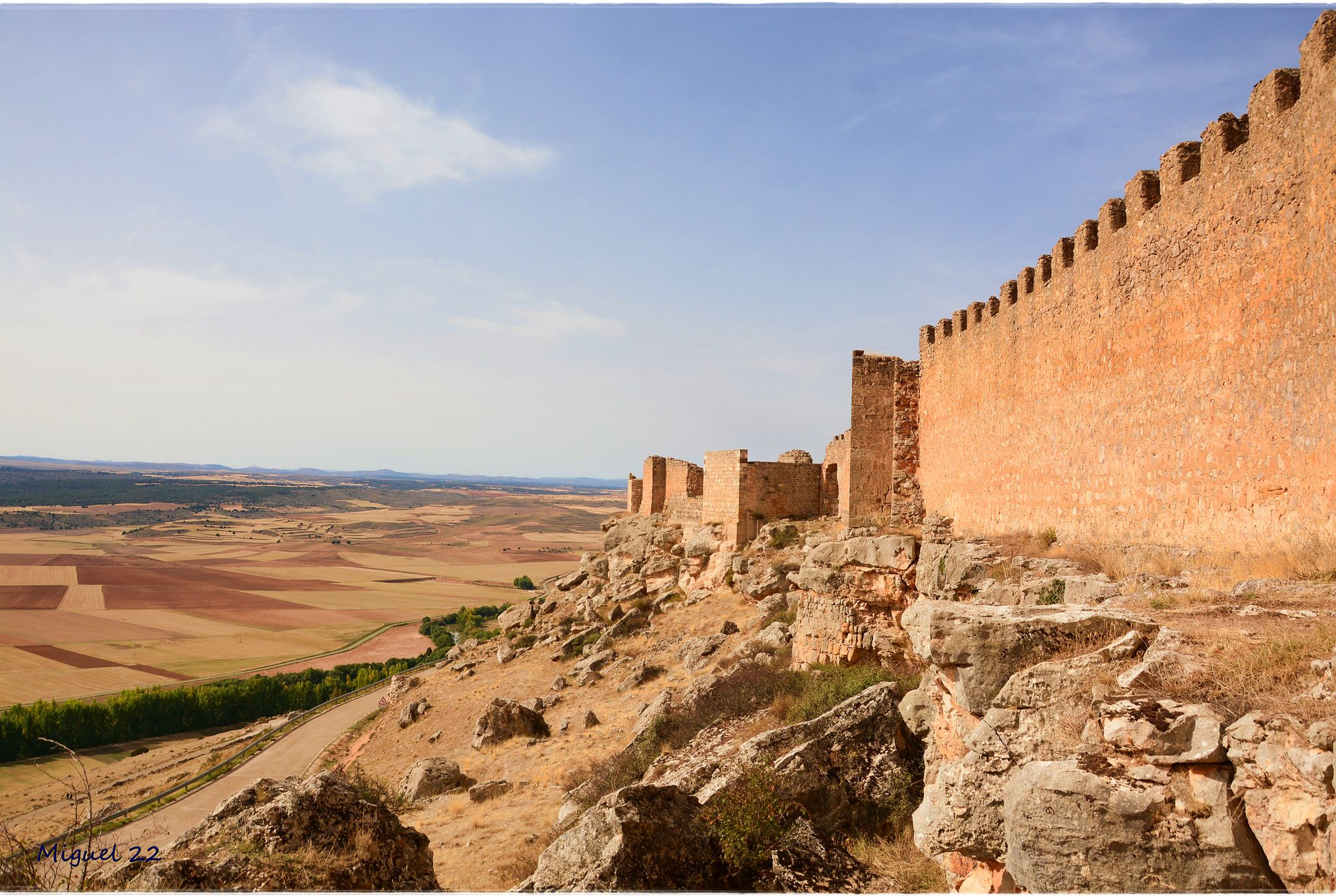
A journey through mediaeval Spain – El Camino del Cid (GR 160)
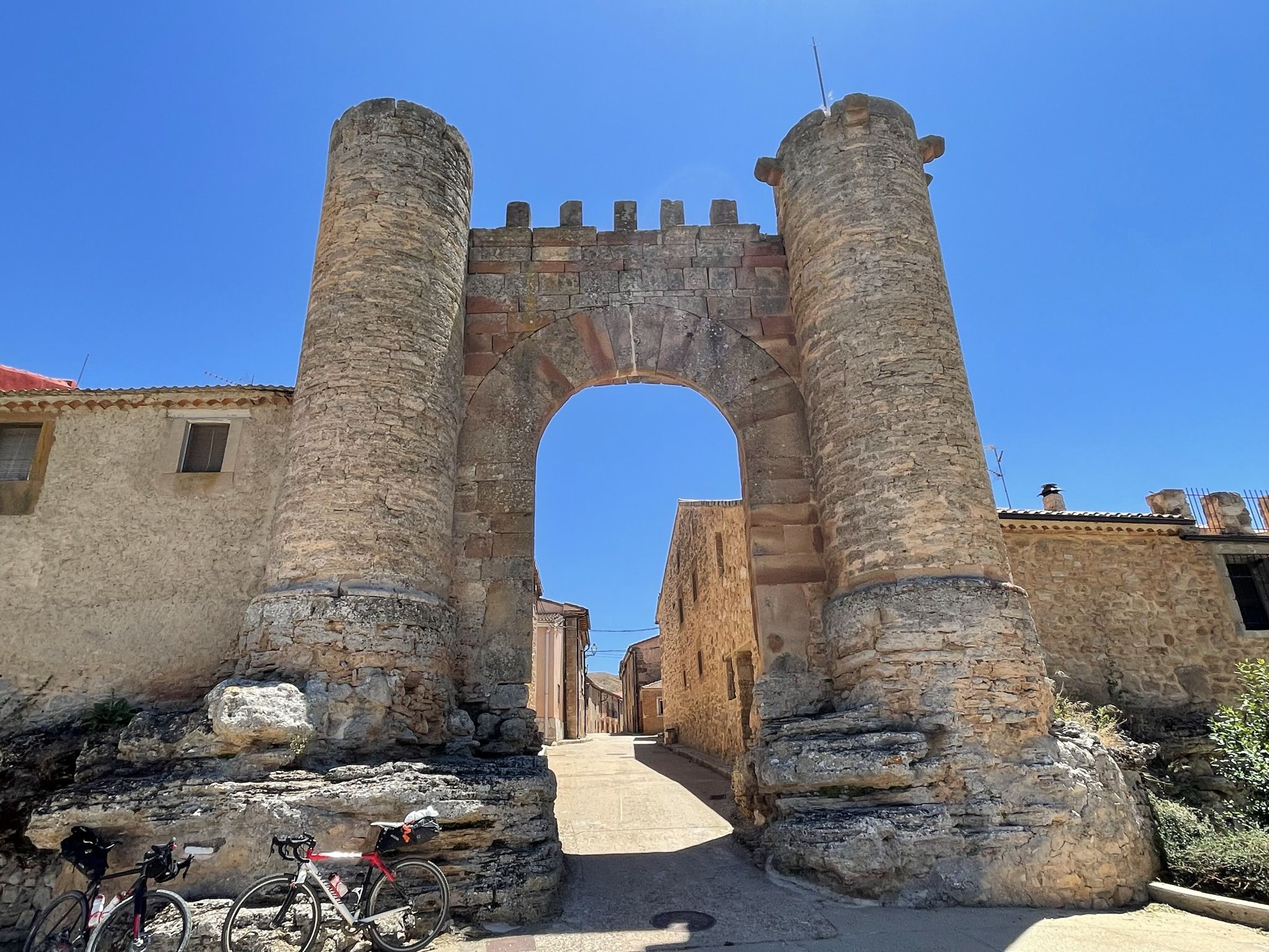
El Camino del Cid – El Destierro by gravel bike
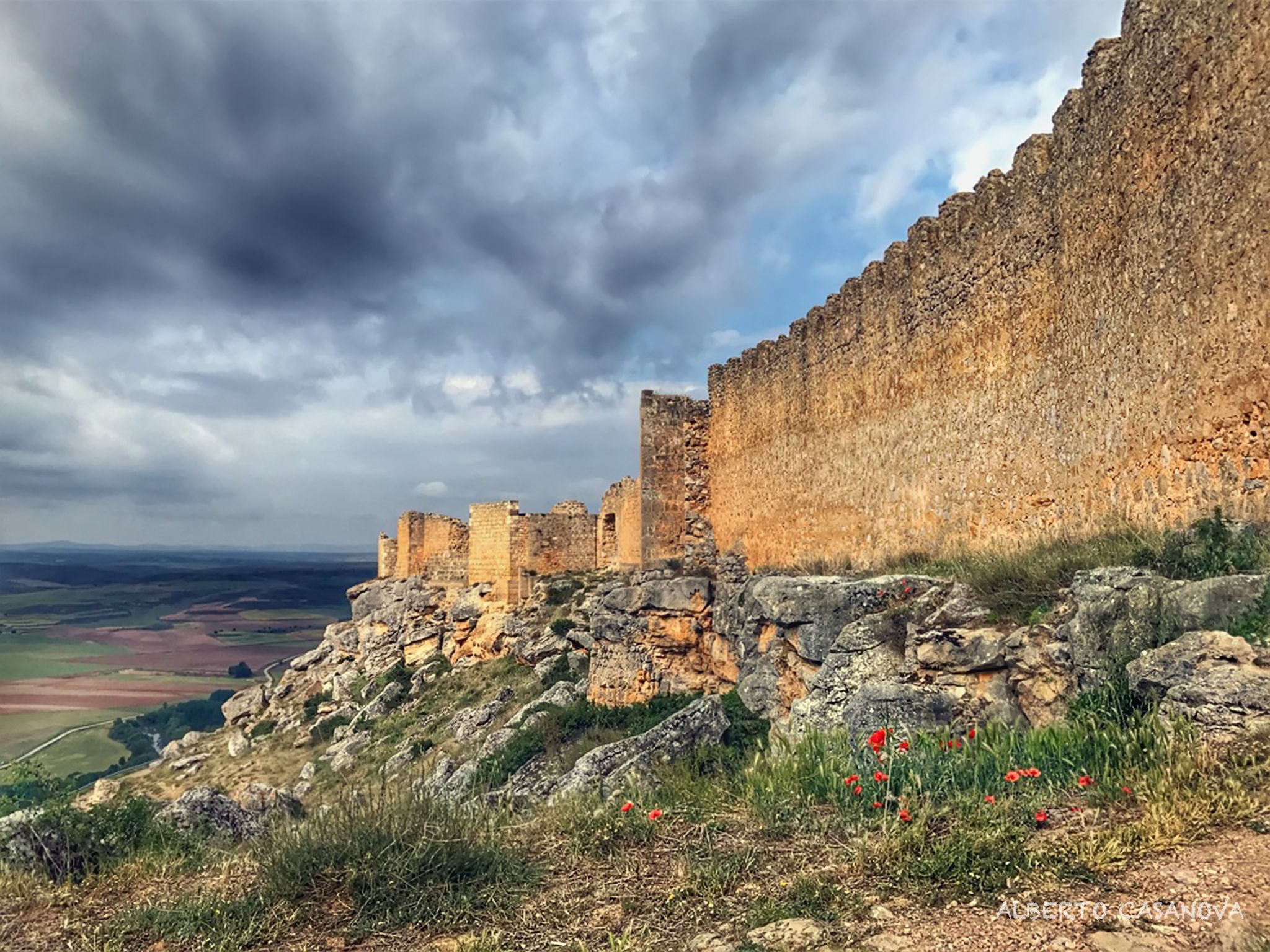
Camino del Cid on MTB – El Destierro
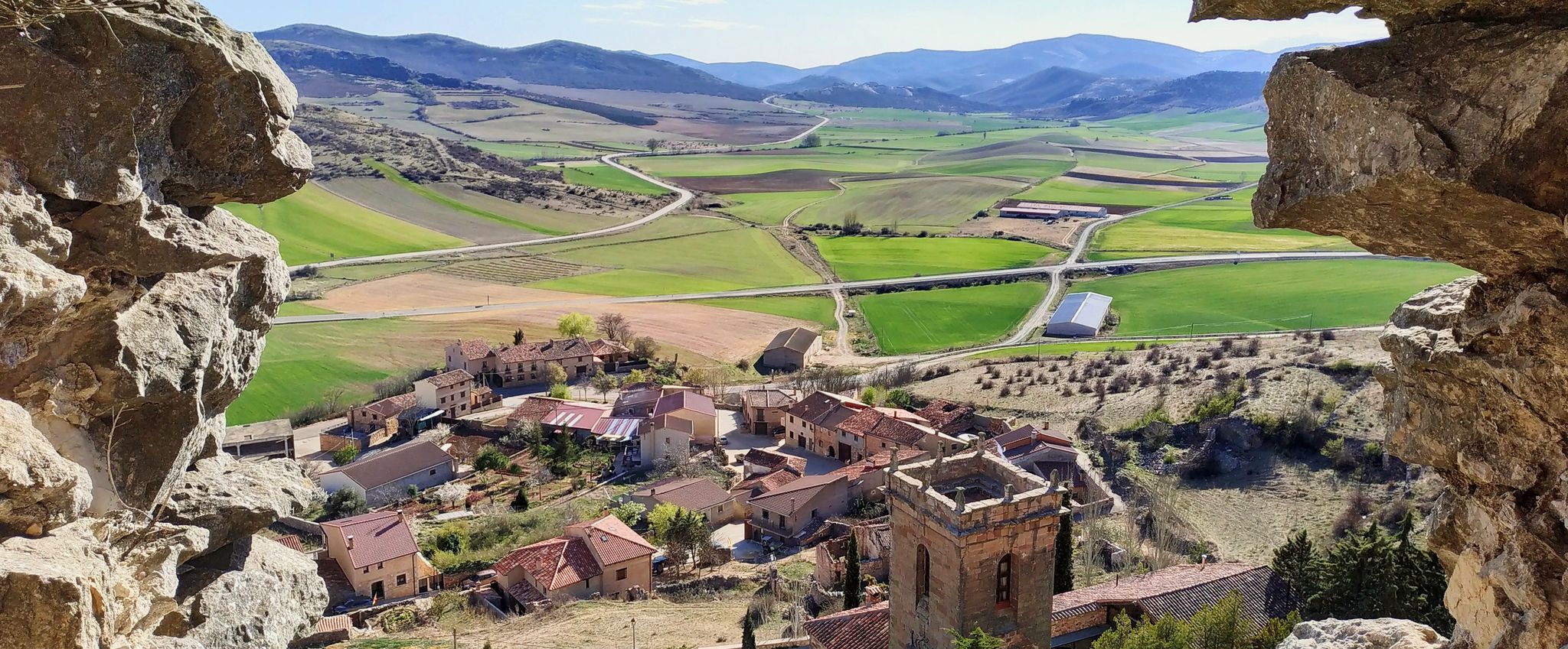
Spain’s Camino del Cid by bicycle — El Destierro
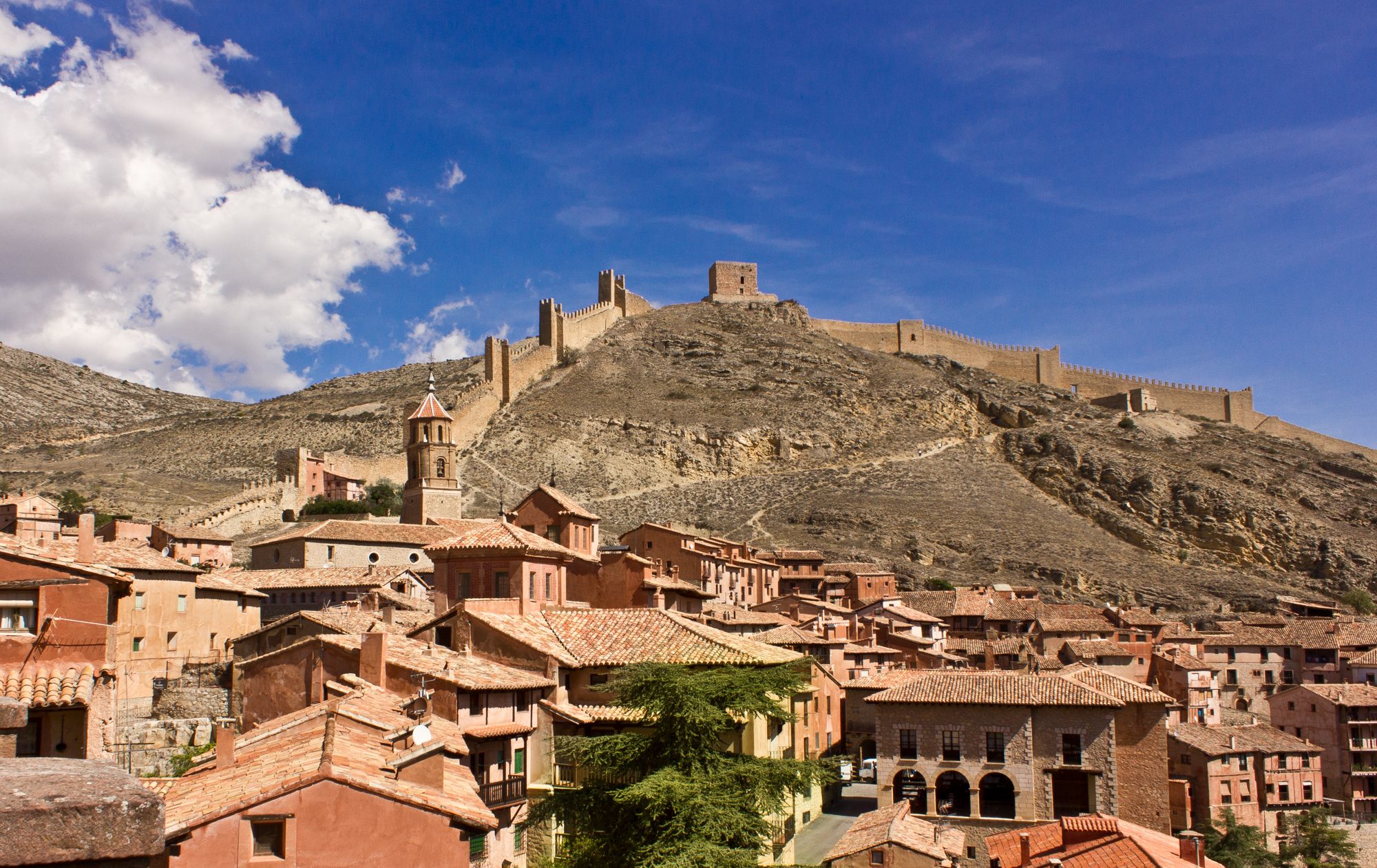
Bike tour into the Spanish Middle Ages - the Camino del Cid
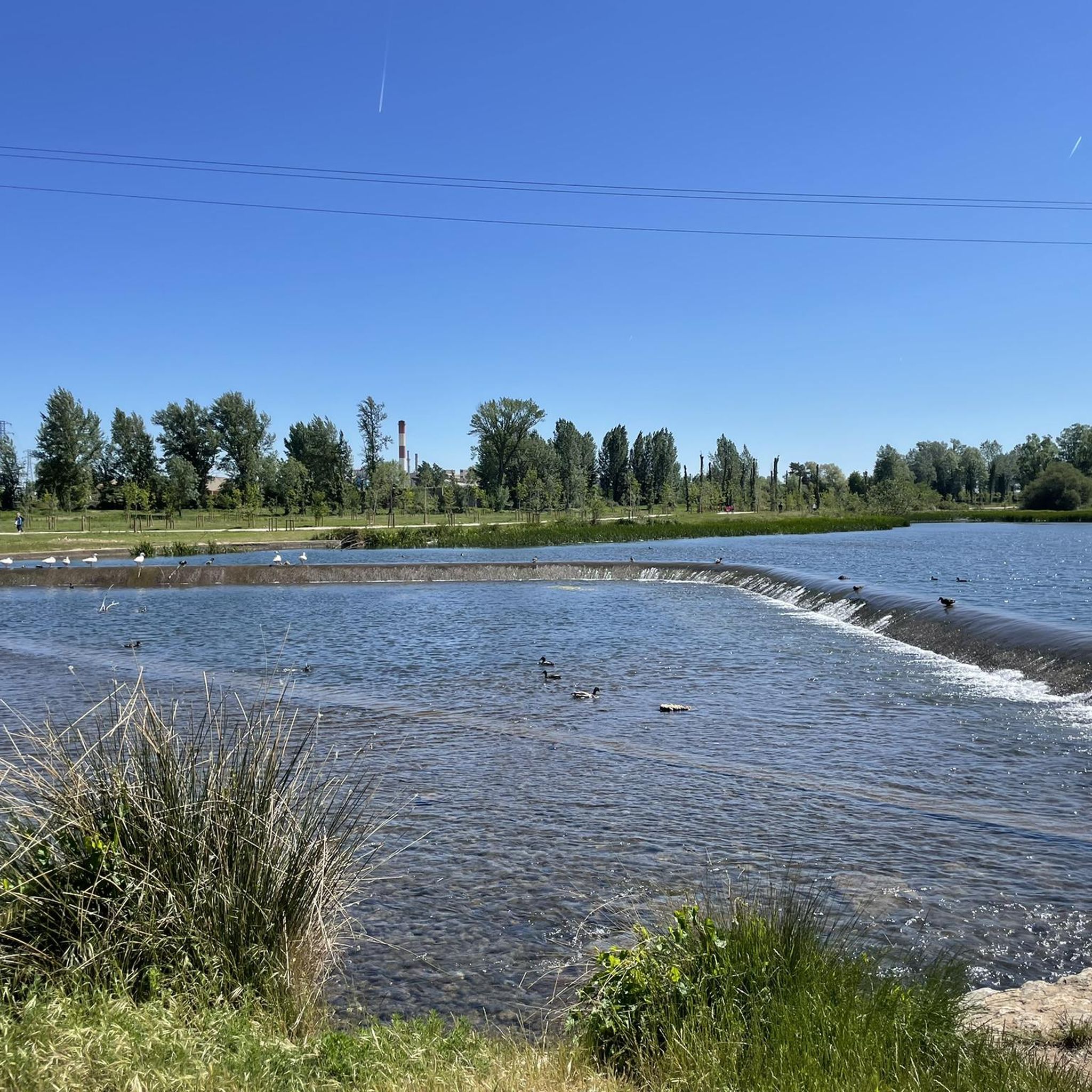
Cycling around Quintanilla Vivar
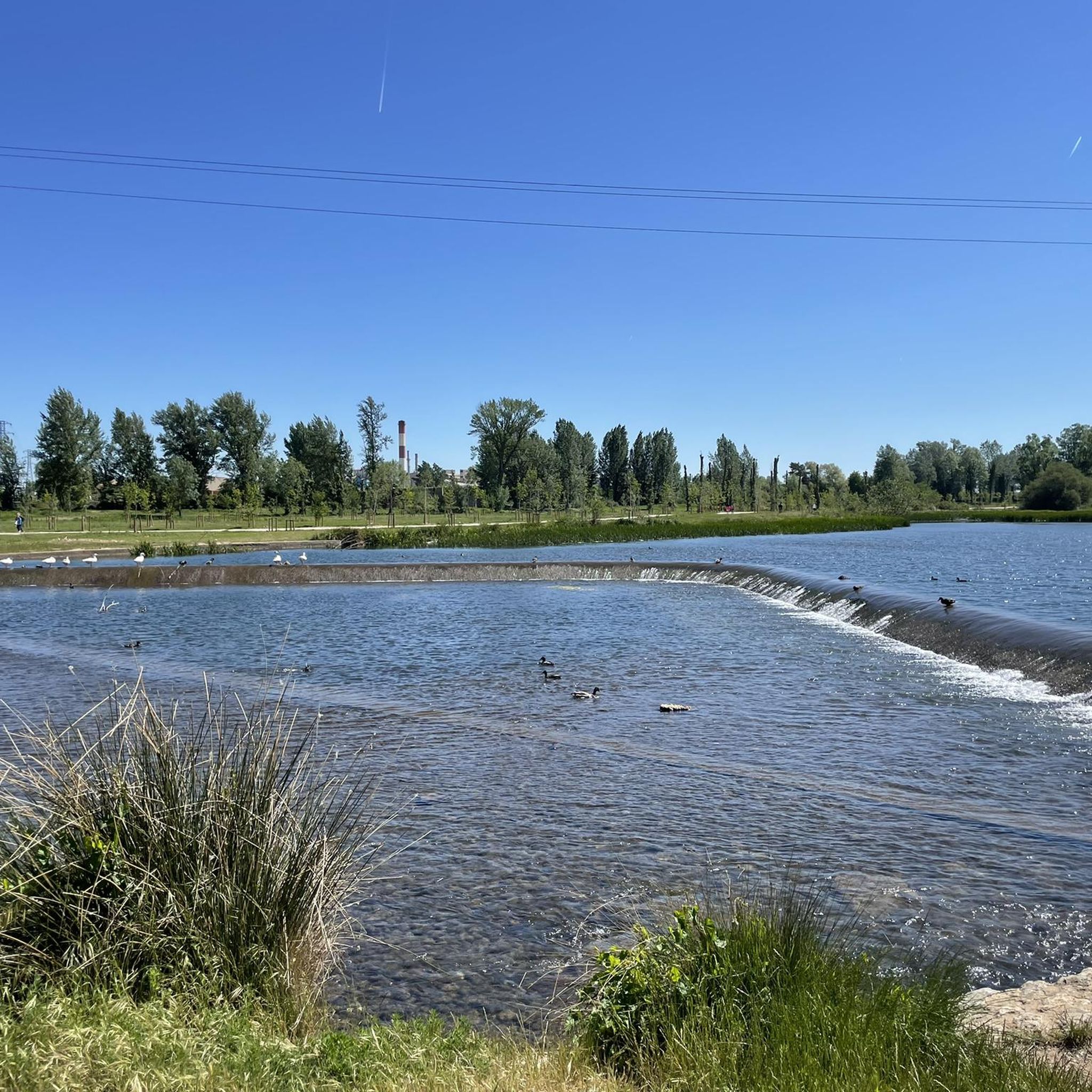
MTB Trails around Quintanilla Vivar
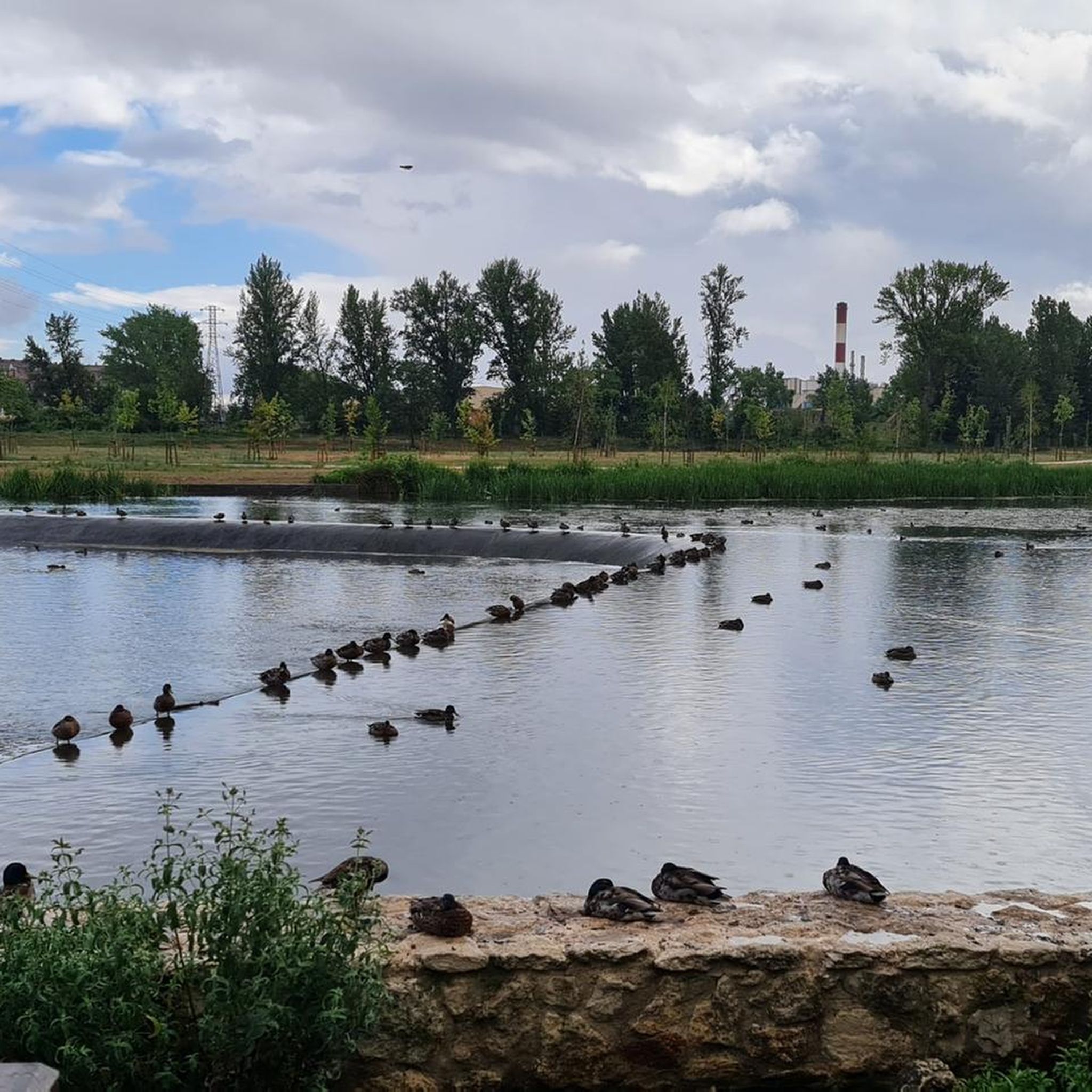
Running Trails around Quintanilla Vivar
Hiking around Quintanilla Vivar

Gravel biking around Quintanilla Vivar
Other adventures around Quintanilla Vivar


Tips from the Community

Spectacular area for hiking routes
0
0

Bridge that connects fuentes Blancas with La Ventila.
0
0

The Church of Our Lady of the Assumption in Tardajos (Burgos) is one of the most emblematic churches on the French Way of St. James, both for its historical significance and its architecture. It was built in 13th-century Gothic style, although it incorporates Romanesque (12th-century), Renaissance (16th-17th centuries), and Baroque (18th-century) elements. It stands on a hill in the oldest part of the town, giving it a fortress-like appearance.
1
0
In Burgos, there are several bridges that cross the Arlanzón River, each with its own history and heritage value.
2
0
Ideal places for mountain biking and hiking routes
0
0
The Capiscol Bridge is located in Burgos and connects the Gamonal and Capiscol neighborhoods with the Fuente del Prior park. This bridge was designed by the Herzog and De Meuron studio and was inaugurated in April 2012.
7
0
Bridge with nature murals at the entrance to Burgos, near the Fuente Prior bathing area.
1
1
Frequently Asked Questions
How many road cycling routes are available around Quintanilla Vivar?
There are over 130 road cycling routes in the Quintanilla Vivar area, offering a wide range of options for different skill levels and preferences. You'll find everything from easy rides to more challenging routes with significant elevation gain.
What kind of landscapes can I expect to see while road cycling in Quintanilla Vivar?
Road cycling routes around Quintanilla Vivar traverse a diverse landscape within the Alfoz de Burgos region. You'll encounter expansive cereal plains, rolling hills, and picturesque river valleys, particularly along the River Urbierna and Arlanzón River. The region offers stunning views of green fields and wildflowers, especially in spring.
Are there challenging road cycling routes for experienced riders?
Yes, for experienced riders seeking a challenge, there are routes with notable elevation gains. For instance, the region offers routes like the Altotero Pass – Quintanartuño Tower loop from Burgos - Rosa Manzano, which is classified as difficult and features significant climbs. Overall, 19 routes are rated as difficult.
What historical or cultural attractions can I explore along the cycling routes?
Quintanilla Vivar is closely associated with El Cid Campeador and is a starting point for sections of the Camino del Cid. While cycling, you can explore historical sites. Nearby Burgos, just 7-8 km away, offers attractions like the magnificent Burgos Cathedral, the Arch of Santa María, and the Statue of El Cid. You might also encounter castles such as Castillo de Sotopalacios.
Are there any circular road cycling routes starting from Quintanilla Vivar?
Yes, many routes in the area are circular, allowing you to start and end in the same location. A popular option is the Sotopalacios Loop: Muro de Marmellar, a moderate 38.6 km ride. Another is the Quintanillas Road – Path Along the Arlanzón River loop from Burgos - Rosa Manzano, which is 75.8 km long.
What is the best time of year for road cycling in Quintanilla Vivar?
The region's varied topography and pleasant natural scenery make it enjoyable for road cycling throughout much of the year. Spring is particularly beautiful with green fields and wildflowers. The routes are generally on asphalted roads with light traffic, making for a good experience in favorable weather conditions.
What do other cyclists say about the road cycling experience in Quintanilla Vivar?
The road cycling routes in Quintanilla Vivar are highly rated by the komoot community, with an average score of 4.6 stars from over 100 reviews. More than 6,000 road cyclists have used komoot to explore the varied terrain, often praising the mix of landscapes and the quiet, paved roads.
Are there any easy road cycling routes suitable for beginners?
Yes, the area offers a good selection of easier routes. Out of the 131 available routes, 20 are classified as easy, providing gentle gradients and manageable distances for those new to road cycling or looking for a relaxed ride.
Can I find routes that follow river valleys?
Absolutely. The region is characterized by picturesque river valleys. For example, the Quintanillas Road – Path Along the Arlanzón River loop from Burgos - Rosa Manzano specifically follows the Arlanzón River valley, offering a scenic ride. The River Urbierna also contributes to fertile valley landscapes ideal for cycling.
Are the road cycling routes generally on paved roads with little traffic?
Yes, many road cycling routes in the Quintanilla Vivar area are described as having mostly paved surfaces and little to no traffic on secondary roads. This contributes to a safe and enjoyable riding experience, allowing cyclists to focus on the scenery and the ride itself.
What is the typical duration for a road cycling route in this area?
Route durations vary significantly based on distance and difficulty. For example, a moderate route like the Sotopalacios Loop: Muro de Marmellar typically takes around 1 hour 46 minutes to complete, while longer routes such as the Villoruebo – Special bridge loop from Burgos - Rosa Manzano can take over 3 hours.
Most popular routes around Quintanilla Vivar
Most popular attractions around Quintanilla Vivar

Get inspired with the komoot mobile app


Explore more
Browse the best Road cycling routes in other regions.
