The best walks and hikes around Rafelguaraf
4.6
(557)
3,542
hikers
118
hikes
Hiking around Rafelguaraf offers a network of trails through varied terrain. The region features rolling hills, established paths, and river crossings. Routes often lead to viewpoints, providing expansive vistas of the surrounding landscape. The area provides diverse options for outdoor exploration.
Best hiking trails around Rafelguaraf
- The most popular hiking route is Unique V-Shaped Tree – Molló Trail loop from el Pla de Corrals, a 7.2 miles (11.5 km) trail that takes 3 hours 30 minutes to complete. This…
Last updated: July 22, 2026
14
hikers
11.5km
03:31
320m
320m
Moderate hike. Good fitness required. Mostly accessible paths. Sure-footedness required.
14
hikers
5.14km
01:50
220m
220m
Moderate hike. Great for any fitness level. Mostly accessible paths. Sure-footedness required.

Sign up for free
4.7
(3)
13
hikers
13.6km
03:45
220m
220m
Moderate hike. Good fitness required. Easily-accessible paths. Suitable for all skill levels.
12
hikers
4.43km
01:44
220m
220m
Moderate hike. Great for any fitness level. Mostly accessible paths. Sure-footedness required.
5.0
(2)
3
hikers
9.18km
03:00
250m
250m
Moderate hike. Good fitness required. Mostly accessible paths. Sure-footedness required.
Get access to more routes and recommendations from other explorers.
Sign up for free
Already have an account?
Our route recommendations are based on thousands of hikes, rides, and runs completed by other people on komoot.
Start today with a free account
Your next adventure awaits.
Login or Signup

Tips from the Community

La Bastida is a corral and country house donated by the Benavent family to the town hall of Quatretonda and converted by it into a hostel-aula natura. Located in the Serra de Quatretonda and surrounded by beautiful scenery, the user can enjoy various sports and educational activities and enjoy the natural heritage in the most comfortable, safe and fun way. Intended for the general public, associations, schools, etc. It has activities, courses, exhibitions and talks programmed by professionals in the field. La Casa de la Bastida is an old farmhouse with corral renovated as a rural house and nature classroom. The building, characterized by its thick wooden walls and ceilings, consists of two floors and an interior courtyard. You can enjoy hiking, cycling and cultural excursions to the most important points of the Serra de Quatretonda and Vall de Albaida region. Self-sufficient building in terms of obtaining energy, thanks to solar panels, as well as the water supply, coming from a source close to the house. Its services include native cuisine, dining room, heating and large rooms with good views.
1
0

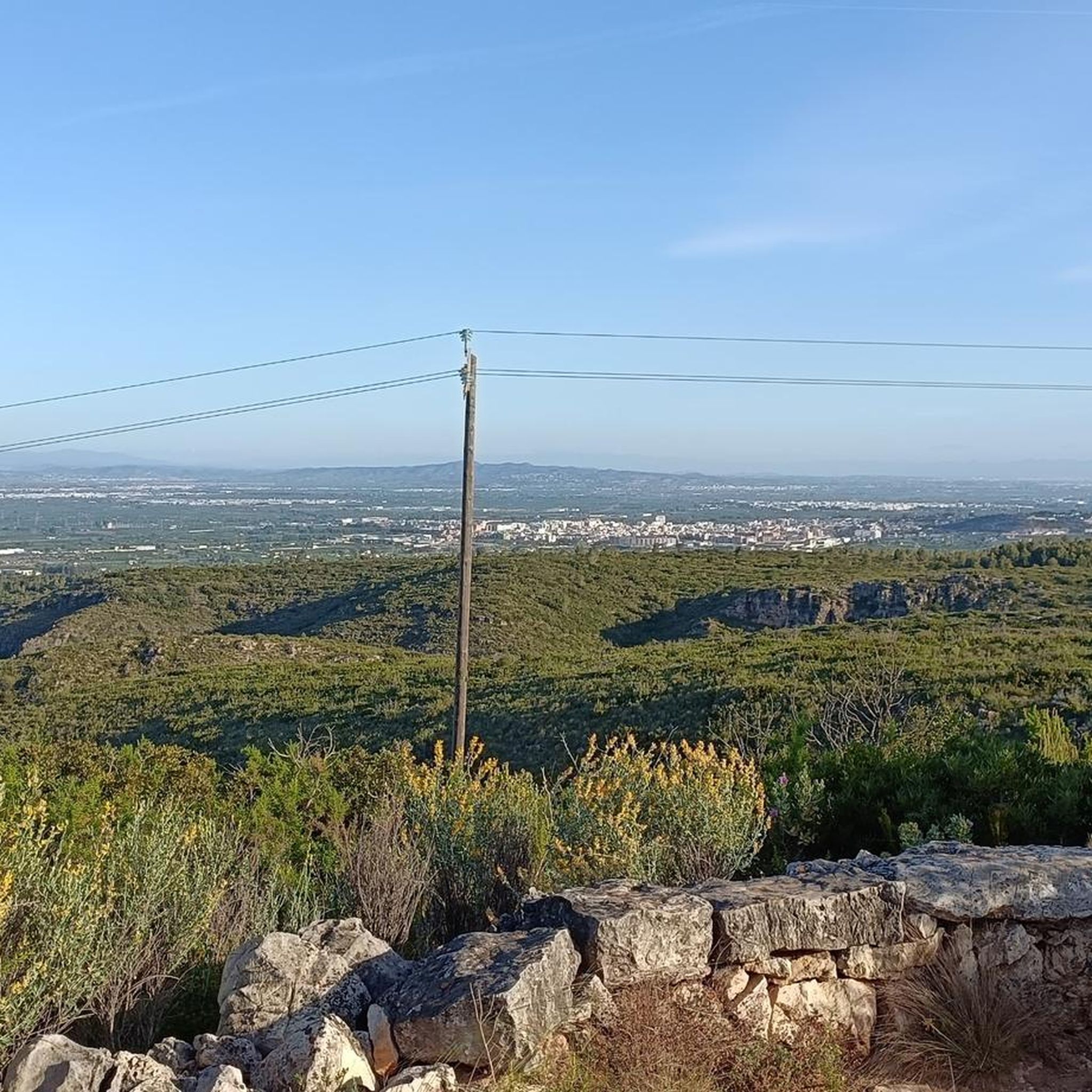
The temperature was just below 30 degrees and that was fine for this walk, which was most of the time in the sun. The first part of the walk was more challenging than the second part. In this case that was good because of the temperature. There were no other people taking this walk, so it was very quiet. There were some nice views to other places like Xativa.
2
0
The Quatre Camins quarry, also known as the Llosar dels Francs, is an archaeological site 500m away. of the Roman villa, known as Villa Cornelius, located in Partida dels Franks. These are quarries that, according to some scholars (such as the archaeologist Miquel Ramon Martí), could be considered the most important of the Roman period in the Iberian Peninsula. The commercialization of the marble extracted from these quarries was the main source of wealth for the Iunii family, of the Galeria Tribe, owners of the plantation and the Cornelius town. The transport of the stone was done through the carriladas, that is to say, grooves in the rocks that channeled the wheels of the carts, which can still be seen on the road that leads from Énova to Barxeta. The planter has preserved marks that show that the marble was extracted forming rectangular blocks. These large blocks were transported in oxcarts to the town, where the work of stonemasons or stonemasons continued, who would fragment them and shape them into specific pieces, according to the order that needed to be served. This marble was used to make tombstones, monuments of different sizes and even slabs to pave the Roman theater in Zaragoza or the plinths of the Romanesque door of the Cathedral of Valencia.
1
0
It is advisable to take advantage of rail transport to travel to the starting point of the planned routes on foot or by bike. From L'Énova you can take interesting routes on foot through its territory and also by bike through the regions of Ribera and Costera.
2
0
Underground passage to cross the train tracks on foot or by bike.
2
0
Villa Cornelius is a Roman villa, located in the municipality of l'Énova, in the region of Ribera Alta, in an area known as "Els Alters". The discovery of the site was due to chance, since the remains of the villa were found when, in September 2003, work began prior to the construction of the AVE Madrid- Valencia. It is a rural villa, between 2,600 and 3,000 square meters, located very close to the Via Augusta (on a plain between the river Sucro (Xúquer) and its tributary the river Magre) and the old Saetabis (Xàtiva), in the Tarraconensis province, belonging to the patrician Publius Cornelius Iuniani (whose name had to give rise to the toponym of the later population, Iunianus). The villa was built at the end of the 1st century AD (specifically between the years 65 and 75) and ended its use in the second quarter of the 5th century AD. Throughout this period, in which the villa was dedicated to the exploitation and processing of flax, several reforms were carried out both in the house and in the production area. It had to be abandoned enough that part of the roof of the residential buildings fell and remained on the floors (which contained mosaics), sealing them and allowing their conservation to this day. At present, the villa is covered again, after having extracted valuable mosaics.
2
0
Also known as Llosar dels Francs, in this Roman marble quarry you can distinguish the rectangular blocks that were later loaded onto bullock carts to transport them.
2
0
El Pi d'Ambrosio is a natural site of great environmental value, much appreciated by all the residents of L'Énova. Place, where people usually go to spend the day and get in touch with nature. Currently, this area is minimally conditioned with approved paellers, as well as several drinking water sources.
2
0
Frequently Asked Questions
How many hiking trails are available around Rafelguaraf?
Rafelguaraf offers a wide selection of hiking opportunities, with over 120 trails documented on komoot. These routes cater to various skill levels, from easy strolls to more challenging treks.
Are there easy hiking trails suitable for beginners in Rafelguaraf?
Yes, Rafelguaraf has plenty of options for beginners. There are 32 easy hiking trails, perfect for those looking for a gentle introduction to the region's natural beauty. These routes typically feature less elevation gain and shorter distances.
What is the best time of year to go hiking in Rafelguaraf?
The best time for hiking in Rafelguaraf is generally during spring (March to May) and autumn (September to November). During these seasons, the weather is mild and pleasant, avoiding the intense heat of summer and the cooler, potentially wetter days of winter. This allows for comfortable exploration of the region's varied landscapes.
Are there any circular hiking routes in Rafelguaraf?
Many of the trails around Rafelguaraf are designed as circular routes, allowing you to start and finish at the same point. An example is the Mirador de la Creu loop from el Genovés, which offers a moderate 4.3 km experience.
What kind of landscapes can I expect to see on hikes around Rafelguaraf?
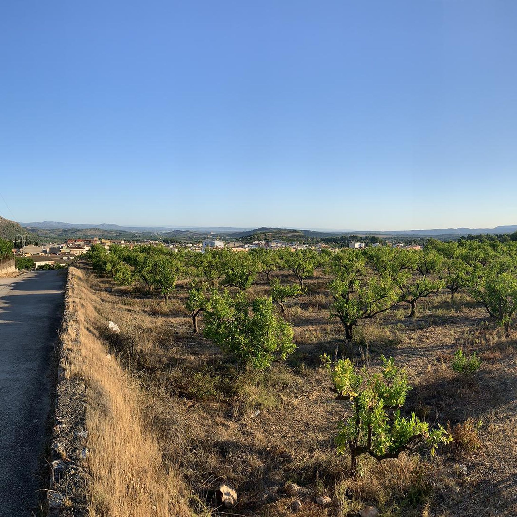
Hiking around Rafelguaraf will take you through diverse landscapes, including rolling hills, established paths winding through agricultural areas, and occasional river crossings. You'll often find routes leading to viewpoints that offer expansive vistas of the surrounding Valencian countryside.
Are there any historical sites or landmarks to see while hiking?
Yes, the region around Rafelguaraf is rich in history. You can explore several castles, such as the impressive Castell de Xàtiva or the ancient Marinyén Castle. These historical sites often offer great views and a glimpse into the area's past.
What do other hikers say about the trails in Rafelguaraf?
The hiking trails in Rafelguaraf are highly regarded by the komoot community, holding an average rating of 4.6 stars from over 500 reviews. Hikers frequently praise the well-maintained paths, the scenic viewpoints, and the diverse terrain that makes each route unique.
Are there any viewpoints along the hiking trails in Rafelguaraf?
Yes, many trails in the Rafelguaraf area lead to scenic viewpoints. For example, the La Visteta Viewpoint offers panoramic views, and the Mirador dels Frares is another popular spot to take in the landscape.
Can I find longer, more challenging hikes in the area?
Absolutely. For those seeking a longer challenge, routes like the Albaida River Crossing – Cova Negra loop from el Genovés cover over 14 km and offer a moderate difficulty level. There are 19 difficult trails available for experienced hikers.
Is it possible to reach hiking trails using public transport?
While many trailheads in the Rafelguaraf region are most easily accessed by car, some routes may be reachable via local bus services to nearby towns like el Genovés or L'Ènova. It's advisable to check local transport schedules in advance for specific starting points.
Are there any unique natural features to discover on the hikes?
Yes, the region boasts interesting natural landmarks. One notable example is the Unique V-Shaped Tree – Molló Trail loop from el Pla de Corrals, which highlights a distinctive natural formation along its 11.5 km path.
Where can I park my car when hiking in Rafelguaraf?
Parking is generally available near the starting points of many popular trails, especially in or near the villages and towns surrounding Rafelguaraf. Specific parking information can often be found in the detailed descriptions of individual komoot tours.
Most popular routes around Rafelguaraf
Most popular attractions around Rafelguaraf

Get inspired with the komoot mobile app


Explore more
Browse the best Hikes in other regions.
