The best road cycling routes around Montornès De Segarra
5.0
(10)
1,729
riders
139
rides
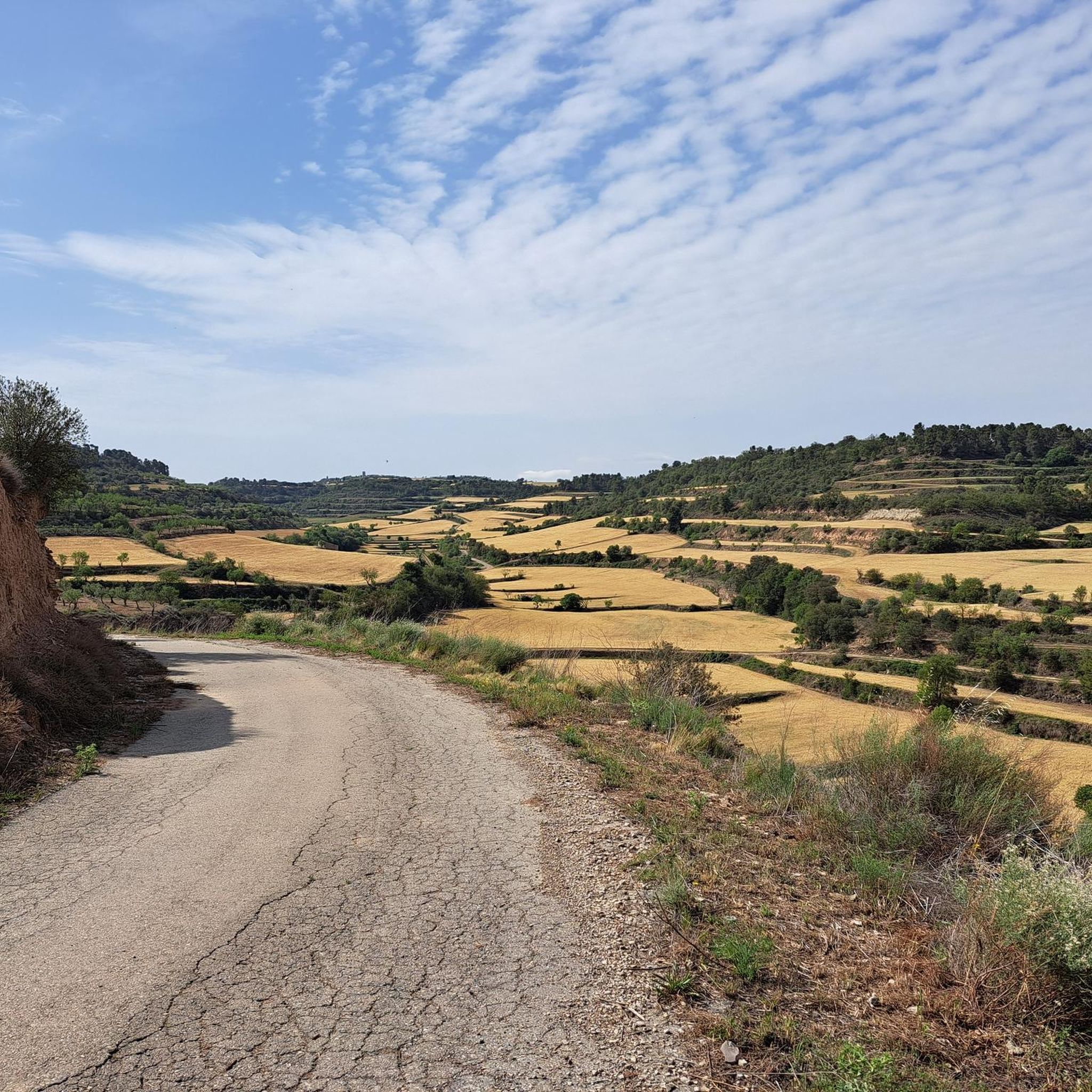
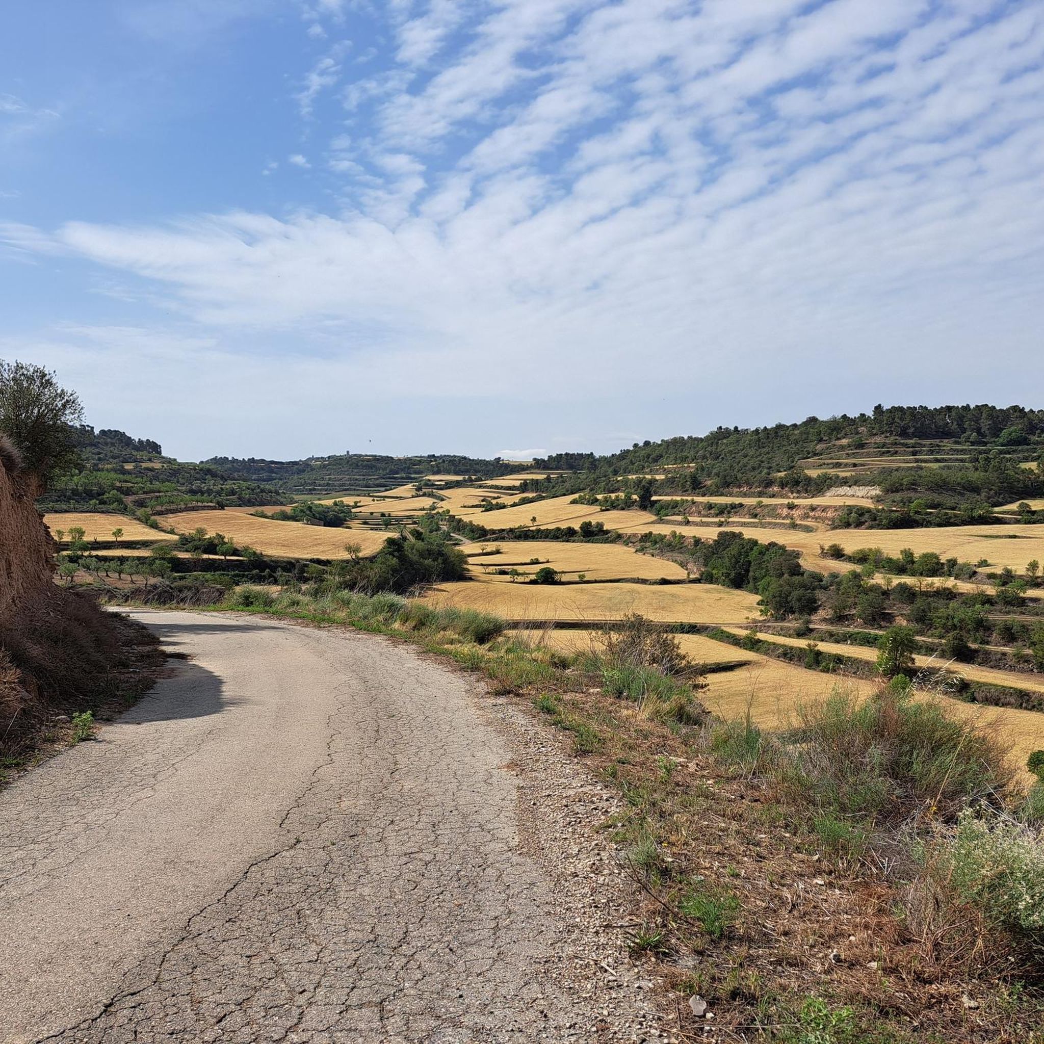
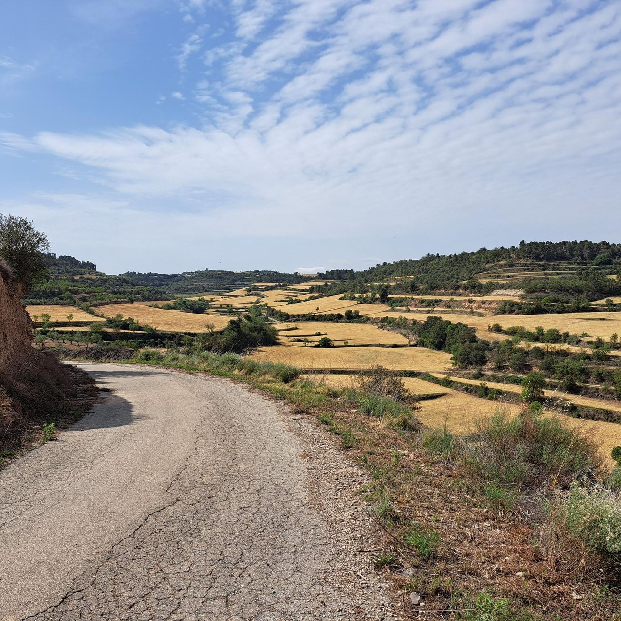
Road cycling around Montornès De Segarra features a gently undulating topography, making it suitable for varied routes. The region, situated at an altitude of 605 meters, is characterized by a blend of forests, scrubland, and agricultural lands. The Cercavins river traverses the municipality, offering scenic routes along its path. Part of the municipal territory falls within the Protected Natural Area of Granyena, providing diverse natural beauty for road cyclists.
Best road cycling routes around Montornès De Segarra
- The most popular…
Last updated: May 17, 2026
40
riders
Moderate road ride. Good fitness required. Some segments of this route may be unpaved and difficult to ride.
29
riders
70.5km
03:24
970m
970m
Hard road ride. Very good fitness required. Mostly well-paved surfaces and easy to ride.

Sign up for free
16
riders
43.2km
01:59
510m
510m
Moderate road ride. Good fitness required. Mostly well-paved surfaces and easy to ride.
13
riders
105km
04:34
650m
650m
Moderate road ride. Good fitness required. Mostly well-paved surfaces and easy to ride.
13
riders
Moderate road ride. Good fitness required. Mostly well-paved surfaces and easy to ride.
Get access to more routes and recommendations from other explorers.
Sign up for free
Already have an account?
Our route recommendations are based on thousands of hikes, rides, and runs completed by other people on komoot.
Start today with a free account
Your next adventure awaits.
Login or Signup


Tips from the Community

Cervera Castle, documented since 1026 and linked for centuries to the Cervera family, preserves the remains of a large trapezoidal enclosure with circular towers at the corners and sections of the wall still visible. Restored as a consolidated ruin, it allows one to imagine the defensive importance it held in the Middle Ages and is located very close to the town's church, making it easy to include in a visit to the historic center.
0
0
The Church of Santa María de Verdú combines Gothic elements with an impressive Romanesque portal, one of the finest examples of the Lleida school, featuring seven decorated archivolts and a sculpted frieze. Inside, the Baroque altar of the Immaculate Conception and the 16th-century image of Our Lady of the Rosary are particularly noteworthy. It is an interesting visit for those exploring the area and looking for a well-preserved historic church.
1
0

Guimerà is a town and municipality in the Urgell region. Guimerà is also known as "El nou de Copes", since the view of the town from the river is a pile of houses one on top of the other. The entire town is a declared cultural asset of national interest.[1] It is located in the valley of the Corb river. The main nucleus of houses, formerly walled, rests on the northern slope of the valley. The streets and houses climb, from the river bed, up the mountain. Source: Wikipedia.
0
0
Vallfogona de Riucorb is a municipality in the Conca de Barberà region, located near the Corb river and on the border with the Urgell region. Previously called "Vallfogona de Lorda" or "de Corbell" or "de Comalats",[1] which was historically the seat of a lordship, Templar subcommand and Templar and Hospitaller command, called Comanda de Vallfogona. It is located on the borders with Segarra, a region to which it had previously and historically always belonged, and Urgell. As a border term, administrative divisions have affected it variably since it belongs to the province of Tarragona, to the judicial district of Valls, but had been of Cervera and Montblanc; until 1957 it was of the bishopric of Vic and then passed to the archdiocese of Tarragona. In the 1980s XX became part of the Conca de Barberà region to make the regions coincide with the provincial limits of Tarragona and that of Segarra with the province of Lleida. Source: Wikipedia
0
0
Municipal facility that allows camping, there are basic services (showers, toilets, etc.). It is also the start and finish point of the Tàrrega cycling club's brevets.
0
0
Old route of the N-II road between Bel-lloc d'Urgell and Golmés, a long straight with a twist through Mollerussa.
0
0

Not just this road, the entire area is a myriad of beautiful roads and spectacular walls. It's the Ardennes of Catalonia.
0
0
Short but intense climb on the local road LV2101 between the intersection of Mas de Bondia (LV2102) and the Granyena de Segarra road, in the direction of Montornés de Segarra. A little over a km with a slope of more than 10%.
0
0
Frequently Asked Questions
How many road cycling routes are available around Montornès De Segarra?
There are over 140 road cycling routes documented on komoot for the Montornès De Segarra area, catering to various skill levels from easy to difficult.
What kind of terrain can I expect when road cycling in Montornès De Segarra?
The region is characterized by a gently undulating topography, making it suitable for varied road cycling routes. You'll encounter a mix of forests, scrubland, and agricultural lands, with scenic paths along the Cercavins river valley. The area's altitude of 605 meters provides engaging terrain without overly steep climbs.
Are there any easy road cycling routes for beginners in Montornès De Segarra?
Yes, Montornès De Segarra offers routes suitable for beginners. There are 11 easy routes available, providing a gentle introduction to the region's beautiful landscapes. These routes are perfect for those looking for a relaxed ride.
What are some of the historical landmarks I can see along the road cycling routes?
Many routes pass by significant historical sites. You can explore the remains of the medieval castle and the Renaissance-style Church of Sant Joan in Montornès de Segarra village itself. Other routes might lead you to nearby historical towns like Cervera, known for its historic center (Cervera), or the medieval village of Guimerà (Guimerà) with its narrow, climbing streets. The route Historic Center of Tàrrega – Castell de Cervera loop from Montornès de Segarra connects historical towns and offers views of medieval castles like Castell de Cervera.
Are there any long-distance road cycling routes for experienced cyclists?
Absolutely. For those seeking a longer challenge, routes like the Bell-lloc d'Urgell – Church of Sant Martí de Maldà loop from Guimerà cover over 100 km, offering an extensive ride through the region's diverse landscapes. There are 56 difficult routes available for advanced cyclists.
What natural features or protected areas can I discover while cycling?
A significant part of Montornès de Segarra's municipal territory falls within the Protected Natural Area of Granyena. This area is known for its diverse natural beauty, including dry fields and forests of pines, oaks, and holm oaks, providing a habitat for various bird species like the Bonelli's eagle. The Cercavins river also offers scenic routes along its path.
What do other road cyclists enjoy most about cycling in Montornès De Segarra?
The area is highly rated by the komoot community, with an average score of 5.0 stars from 9 reviews. Reviewers often praise the quiet roads, good landscapes, and the varied terrain that offers options for different ability levels, from moderate explorations to more difficult rides.
Are there any circular road cycling routes in the area?
Yes, many of the road cycling routes around Montornès De Segarra are designed as loops, allowing you to start and end your ride in the same location. Examples include the Historic Center of Tàrrega – Castell de Cervera loop from Montornès de Segarra and the Guimerà Historic Village – Conesa Medieval Walled Village loop from Guimerà.
What is the best time of year to go road cycling in Montornès De Segarra?
Given the region's gently undulating topography and Mediterranean climate, spring and autumn generally offer the most pleasant conditions for road cycling, with milder temperatures and beautiful scenery. Summers can be warm, while winters are typically mild but can have cooler days.
Can I find routes that pass through medieval villages?
Yes, the region is rich in medieval heritage. Routes like the Albió Wall – Santa Coloma de Queralt loop from Guimerà lead through charming medieval villages and historical sites, offering a glimpse into the area's past while you ride.
Are there any routes that feature unique architectural sights?
Beyond medieval structures, you can find routes that pass by unique modernist architecture, such as a square-shaped cemetery with pagoda-capped corners and the former Les Escoles (schools) building, both commissioned by Josep Balcells i Cortada, adding an interesting cultural dimension to your ride.
Most popular routes around Montornès De Segarra
Most popular attractions around Montornès De Segarra

Get inspired with the komoot mobile app


Explore more
Browse the best Road cycling routes in other regions.
