The best walks and hikes around Villamayor De Los Montes
4.0
(5)
22
hikers
9
hikes
Hiking around Villamayor De Los Montes offers access to varied terrain characterized by undulating landscapes and small mountains, with the municipality itself situated at an elevation of 891 meters. The region features historical forestland, notably the ancient Valzalamio, alongside peaceful countryside with fields and hills. Trails often follow rivers such as the Arlanza and Cubillo, providing diverse environments for outdoor exploration.
Best hiking trails around Villamayor De Los Montes
- The most popular hiking route is Río Arlanza Riverside Trail,…
Last updated: May 23, 2026
5.0
(2)
11
hikers
6.31km
01:39
50m
50m
Easy hike. Great for any fitness level. Easily-accessible paths. Suitable for all skill levels.
3.0
(1)
3
hikers
17.4km
04:34
140m
140m
Moderate hike. Good fitness required. Mostly accessible paths. Sure-footedness required.

Sign up for free
4.0
(1)
1
hikers
13.0km
03:35
210m
210m
Moderate hike. Good fitness required. Mostly accessible paths. Sure-footedness required.
1
hikers
2.42km
00:40
40m
40m
Easy hike. Great for any fitness level. Easily-accessible paths. Suitable for all skill levels.
7.88km
02:07
90m
90m
Moderate hike. Good fitness required. Mostly accessible paths. Sure-footedness required.
Get access to more routes and recommendations from other explorers.
Sign up for free
Already have an account?
Our route recommendations are based on thousands of hikes, rides, and runs completed by other people on komoot.
Start today with a free account
Your next adventure awaits.
Login or Signup



Tips from the Community

Part of the Alfoz de Burgos region, it is located 20 kilometers from the capital of Burgos. The municipality's relief is defined by a plateau through which the Hontoria River and several streams flow. Also notable are the limestone mines that give the town its name. The altitude ranges from 1,040 meters (Gandral Hill) to 900 meters to the north, on the banks of a stream. The town itself rises to 1,003 meters above sea level.
0
0


Medieval arch, the main entrance to Lerma and the only gate in the wall that is still preserved. This impressive structure, built of stone, is the headquarters of the D.O. Ribera del Arlanza. Its name comes from the old prison, which was located here, after the expansion carried out in 1610.
1
0
Small town in the province of Burgos. The name, on the one hand, comes from its military past, on the other, it refers to the famous Valzalamio mountain (hence the name of the path that begins in the town), which the mother of Count Fernán González donated to the monastery of San Pedro. of Cardeña in the year 935, which was a large forest of holm oaks and oaks, where the abbey once had several thousand sheep.
1
0
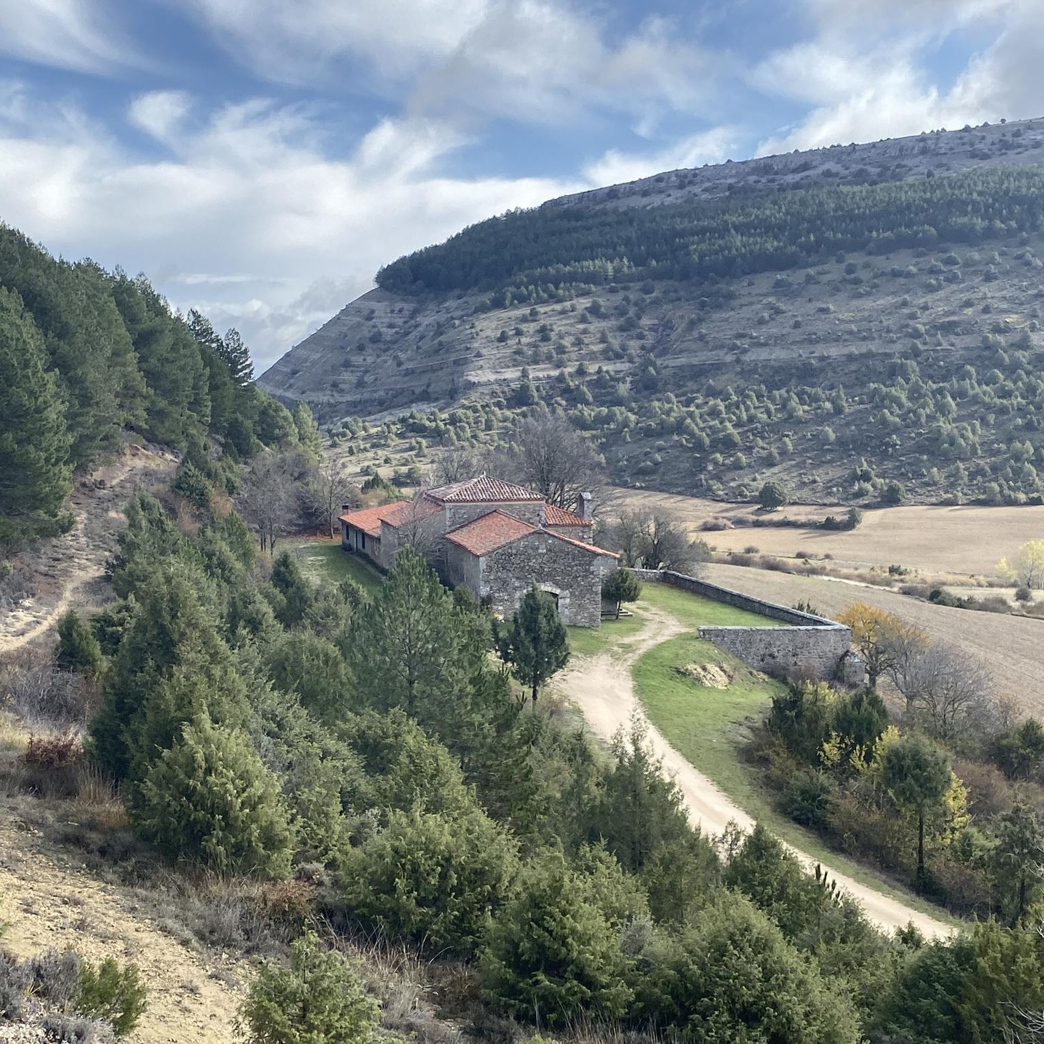
At the entrance to the town of Torrecilla del Monte, the Valzalamio Route (PRC-BU 128) begins. Here we find an information panel with details of the route, about flora and fauna that we can see during the tour.
1
0
The oak grove that we can see (and other species of trees) is part of the famous Valzalamio forest, which Muniadona (mother of Count Fernán González) donated to the monastery of San Pedro de Cardeña in the year 935. At that time it was an extensive holm-oak grove. , but today we can also enjoy the best remnants of this forest in the surroundings of Torrecilla del Monte.
1
0

Small town in the region of Alfoz de Burgos. The town was traditionally a mining town, specifically it was a quarry and a stone mine, which is why it was named after the profession.
2
0
Frequently Asked Questions
How many hiking trails are available around Villamayor De Los Montes?
There are 8 hiking trails available around Villamayor De Los Montes, offering a variety of options for different preferences and fitness levels.
Are there easy hiking trails suitable for beginners in Villamayor De Los Montes?
Yes, the area features 3 easy hiking trails, perfect for beginners or those looking for a more relaxed walk. These routes typically traverse gentle terrain through agricultural landscapes and local woodlands.
What kind of landscapes can I expect to see while hiking in Villamayor De Los Montes?
Hikers can expect to see a mix of agricultural landscapes, local woodlands, and gentle hills. The trails often follow established paths through rural settings, connecting villages and natural areas, providing diverse environments for exploration.
Are there family-friendly hiking options in Villamayor De Los Montes?
Yes, with several easy and moderate routes, Villamayor De Los Montes offers suitable options for families. The gentle hills and well-defined paths make it enjoyable for various ages and abilities.
Can I bring my dog on the hiking trails in Villamayor De Los Montes?
Generally, dogs are welcome on most rural trails in the Villamayor De Los Montes area. However, it's always advisable to keep them on a leash, especially when passing through agricultural land or near livestock, and to respect local regulations.
What nearby attractions can I explore after a hike?
After your hike, you can explore several interesting nearby attractions. Consider visiting Hontoria de la Cantera, the historic Plaza Mayor and Ducal Palace of Lerma, or enjoy the views from Mirador de los Arcos.
Are there circular hiking routes available in Villamayor De Los Montes?
Yes, the guide includes several circular routes, allowing you to start and end your hike in the same location without retracing your steps. These are ideal for experiencing varied scenery in a single outing.
Is parking available near the trailheads in Villamayor De Los Montes?
In rural areas like Villamayor De Los Montes, parking is typically available in or near the villages, often close to the start of popular trails. It's usually free, but always check local signage.
How can I reach the hiking trails around Villamayor De Los Montes using public transport?
Public transport options to Villamayor De Los Montes might be limited, as it's a rural area. It's recommended to check local bus schedules from larger nearby towns like Lerma or Burgos, as services may not directly reach all trailheads.
What do other hikers enjoy about the trails in Villamayor De Los Montes?
The trails in Villamayor De Los Montes are highly rated by the komoot community, with an average score of 4.0 stars from over 4 reviews. Hikers often praise the quiet rural paths, the peaceful woodlands, and the opportunity to explore the local countryside.
What is the best time of year to go hiking in Villamayor De Los Montes?
Spring and autumn are generally the best times for hiking in Villamayor De Los Montes, offering pleasant temperatures and vibrant natural colors. Summer can be warm, so early morning or late afternoon hikes are recommended, while winter can bring colder weather.
Are there opportunities for wildlife spotting while hiking?
Given the agricultural landscapes and local woodlands, hikers may have opportunities to spot various bird species, small mammals, and local fauna. Maintaining a quiet presence increases your chances of encountering wildlife.
What should I wear for hiking in Villamayor De Los Montes?
For hiking in Villamayor De Los Montes, wear comfortable, layered clothing suitable for the season. Sturdy hiking shoes are recommended for the varied terrain. Always bring water, sun protection, and a map or GPS device.
Most popular attractions around Villamayor De Los Montes

Get inspired with the komoot mobile app


Explore more
Browse the best Hikes in other regions.
