The best running trails around Zafarraya
4.7
(12)
409
runners
42
runs
Jogging routes around Zafarraya offer diverse landscapes, from expansive plains to challenging mountainous terrain. The region is characterized by the Boquete de Zafarraya, a pass over 900 meters above sea level, and the Llanos de Zafarraya, a large karst depression. These features, alongside the bordering Sierra Tejeda and Sierra de Alhama mountain ranges, provide varied running experiences. The area presents a mix of routes suitable for different fitness levels, with options for less strenuous runs or more intense workouts.
Best…
Last updated: July 24, 2026
1
runners
5.82km
00:43
210m
210m
Moderate run. Good fitness required. Mostly accessible paths. Some sure footedness required.
5.0
(1)
53
runners
23.5km
04:03
1,660m
1,660m
Hard run. Very good fitness required. Sure-footedness, sturdy shoes and alpine experience required.

Sign up for free
28
runners
18.6km
03:02
1,220m
1,220m
Hard run. Very good fitness required. Mostly paved surfaces. Suitable for all skill levels.
21
runners
13.1km
01:48
580m
580m
Hard run. Very good fitness required. Mostly paved surfaces. Suitable for all skill levels.
4.0
(2)
14
runners
16.8km
02:49
1,060m
1,060m
Hard run. Very good fitness required. Sure-footedness, sturdy shoes and alpine experience required.
Get access to more routes and recommendations from other explorers.
Sign up for free
Already have an account?
Our route recommendations are based on thousands of hikes, rides, and runs completed by other people on komoot.
Start today with a free account
Your next adventure awaits.
Login or Signup
Tips from the Community

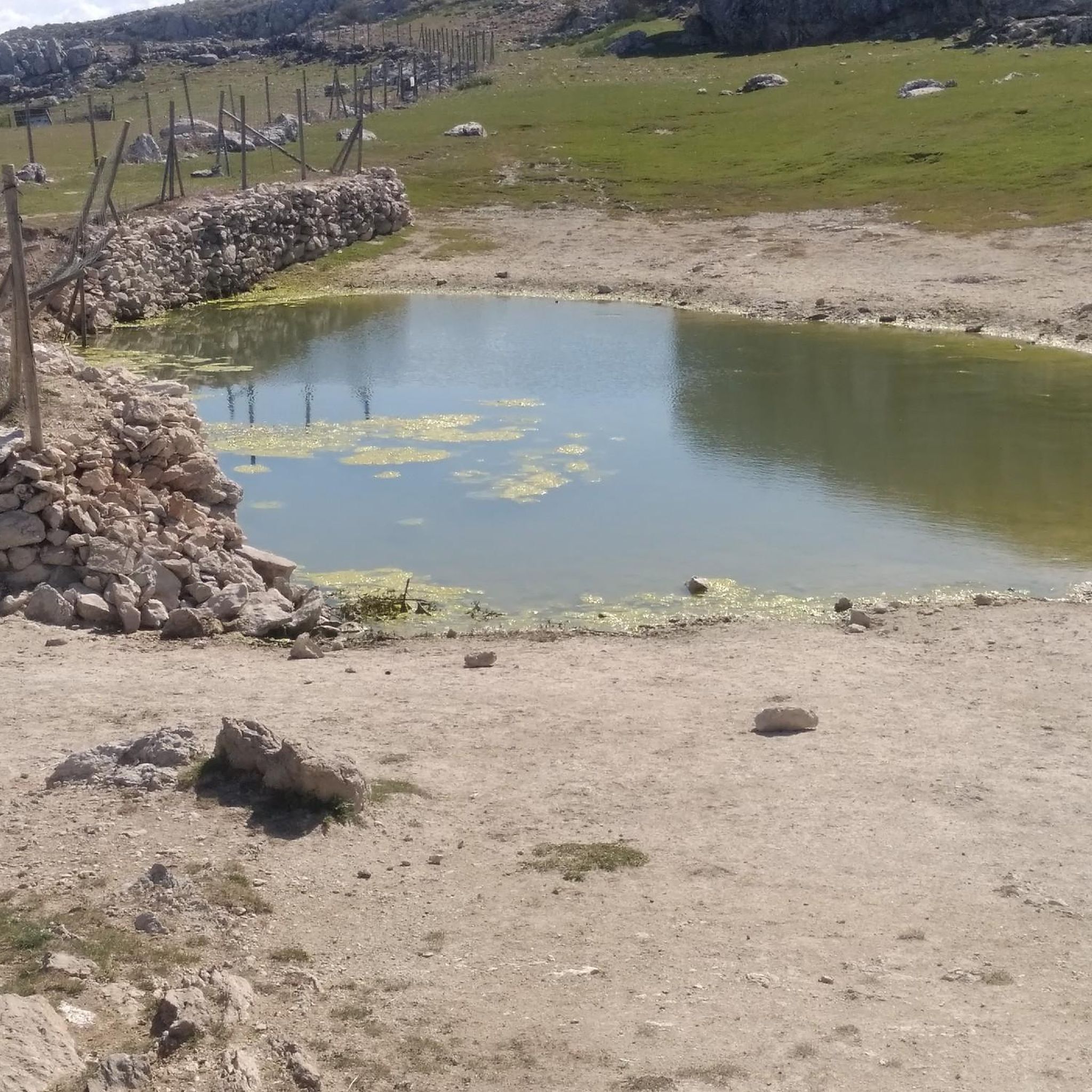
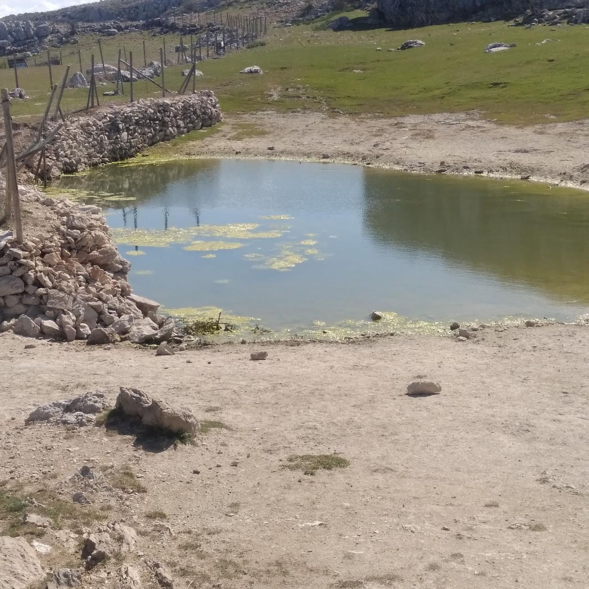
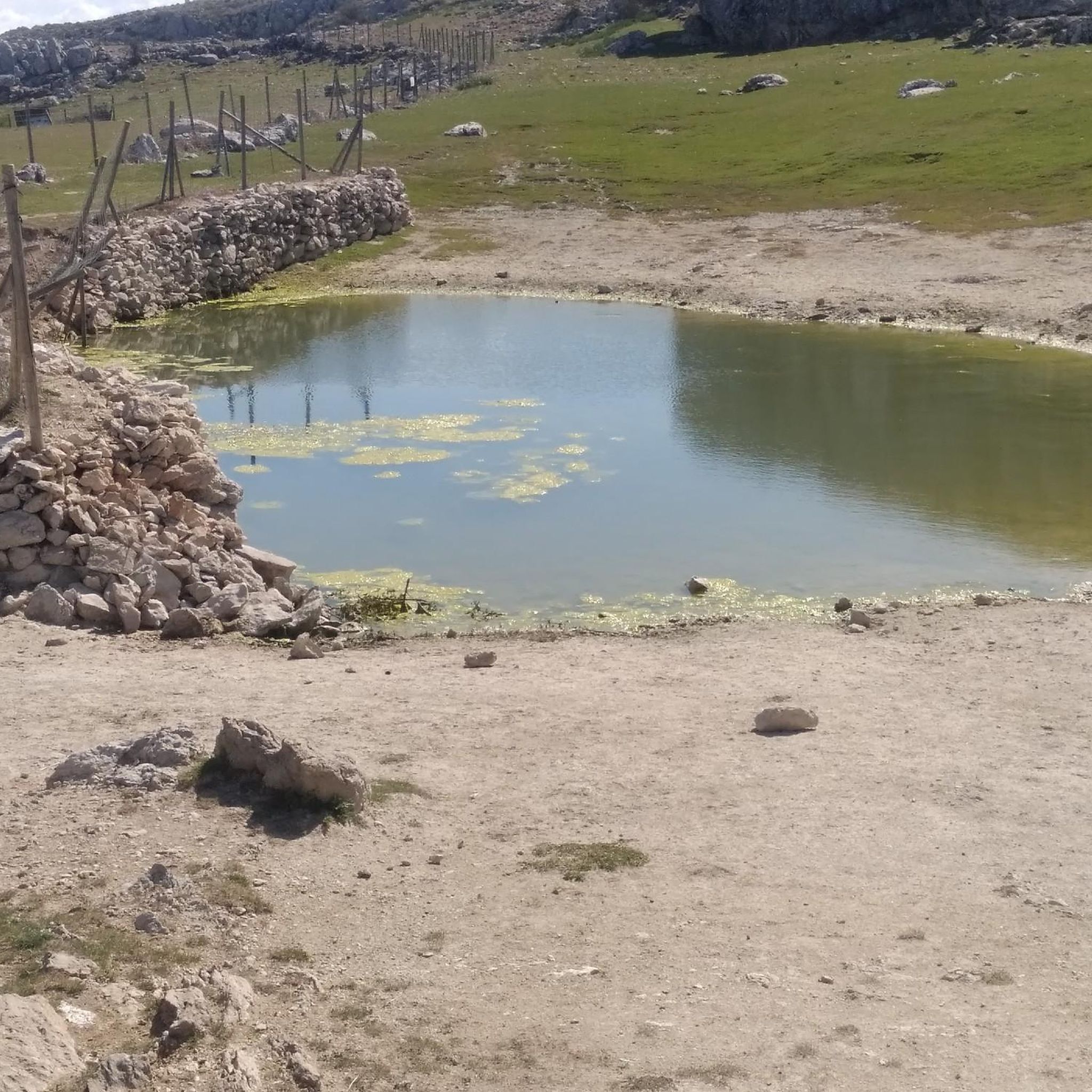
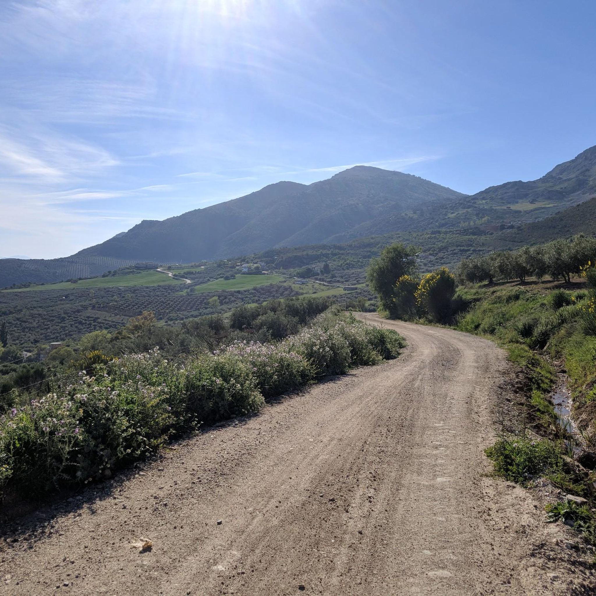
To reach the parking lot at Llanadas de Sedella requires a vehicle with 4-wheel drive like a Land Rover Defender. There are gates that might be closed so you must check with the park authorities beforehand - not much space to turn the vehicle around on this narrow road. Once there the view is stunning with horses grazing around. But be cautious! The recommended track we took to reach the top are for expert hikers. Some parts are very steep (>35%) with loose stones. If you suffer from vertigo, avoid! You need support by both hands at time. It’s not an official track but rather a path used by sheep, whose poo indicate that you are on the right track. (There is a northern track that serpentines its way up that might be more convenient). But once you are on the white-green path originating from the Fuentes del Robledal it’s ok. You are exposed to strong winds and no shelter from the sun. Bring lot’s of water and calculate 6hrs return hike. Once you have reached the top of la Maroma you will have a fantastic view over Andalucia with the Sierra Nevada at your back and Gibraltar in front.
2
2

Once you have reached the top of the Maroma peak. Pico de malaga we can see fabulous views of the coast and sierras de malaga as well as the Moroccan coasts when the day is clear
1
1

Within the Bosque de Las Morillas is this curious rock formation with some caves that make it even more striking to look at.
1
0
From Cerro Olmedo there are beautiful views of the Vilo peak and the landscape that surrounds it. The circular route through the Bosque de las Morillas is an entertaining itinerary without difficulty.
1
0
Curious rock formation with some caves that make it even more striking to look at.
2
0
These ruins located on the Cerro Olmo plateau offer an ideal place to take a break on your route and enjoy the beautiful scenery.
0
1

This 2069 meter peak was originally called Pico Tejeda because it was the highest point in the mountain range of the same name. The name La Maroma comes from the ropes used to lower the snow that was stored in a natural chasm located 40 meters south of the trig point. This chasm was known as Sima de la Maroma and that led to the summit being named the same way. It is located between the provinces of Granada and Malaga, being the highest point of the second, and on clear days you can see the crescent-shaped coast drawn by the Alboran Sea from Ceuta to Oran.
3
1

Frequently Asked Questions
How many running routes are available around Zafarraya?
There are over 25 dedicated jogging routes around Zafarraya listed on komoot, offering a wide range of options for runners of all levels. These include everything from easy, flat runs to challenging mountain trails.
What kind of terrain can I expect on the jogging routes in Zafarraya?
Zafarraya offers a diverse mix of terrain. You'll find routes traversing the expansive, flat Llanos de Zafarraya, ideal for steady jogs, as well as more challenging paths with significant elevation changes through the dramatic Boquete de Zafarraya and the surrounding Sierra Tejeda and Sierra de Alhama mountain ranges. This variety ensures options for different fitness levels and preferences.
Are there any easy or beginner-friendly jogging routes in Zafarraya?
Yes, Zafarraya has routes suitable for beginners. While many trails offer significant elevation, there are easier paths, particularly those found on the Llanos de Zafarraya. For example, the 'Zafarraya Pass – Old railway tunnel loop' is described as accessible with a modest 90m elevation gain over 7.75 km, making it suitable for all levels.
What are some notable natural features or landmarks I can see while running in Zafarraya?
The region is rich in natural beauty. You can experience the spectacular Boquete de Zafarraya, a U-shaped pass offering stunning views, and the vast Llanos de Zafarraya, the largest karst depression on the Iberian Peninsula. Other highlights include the dramatic canyons of the Tajos de Alhama Natural Monument and the artistic Path of Colors in El Almendral de Zafarraya.
Are there any circular running routes in the Zafarraya area?
Yes, many routes in Zafarraya are designed as loops. An example is the Forest of Las Morillas – circular from Alfarnate (PR-A 268), a moderate 5.8 km trail. Another option is the 'Zafarraya Pass – Old railway tunnel loop', which also offers a circular path.
What is the best time of year to go jogging in Zafarraya?
The diverse climate of Zafarraya makes it suitable for jogging throughout much of the year. Spring and autumn generally offer the most pleasant temperatures for running. While summer can be warm, early mornings or late evenings are often comfortable. Winter runs are also possible, especially on lower elevation trails, though higher mountain routes may require more preparation.
Are the jogging routes around Zafarraya suitable for families?
Many routes in Zafarraya are suitable for families, especially those on the flatter Llanos de Zafarraya or trails with lower elevation gains. Look for routes described as 'easy' or 'accessible for all levels' on komoot to find the best options for a family outing.
Can I bring my dog on the running trails in Zafarraya?
Generally, dogs are welcome on many outdoor trails in Spain, including those around Zafarraya. However, it's always advisable to keep your dog on a leash, especially in natural parks or areas with livestock, and to check for specific local regulations or signage on individual trails. Ensure you carry water for your dog, particularly on longer runs.
Is parking available near the jogging routes in Zafarraya?
While specific parking details vary by trailhead, Zafarraya is generally accessible by car, and you can often find parking in or near the villages that serve as starting points for many routes. For more precise information, check the route descriptions on komoot, as users often share details about parking availability.
Are there any cafes or places to eat near the jogging routes in Zafarraya?
Yes, the town of Zafarraya itself, and nearby villages, offer various cafes, bars, and restaurants where you can refuel before or after your run. It's a good idea to check opening hours, especially if you're running early in the morning or late in the evening.
What do other runners say about jogging in Zafarraya?
The jogging routes in Zafarraya are highly rated by the komoot community, with an average score of 4.375 stars from over 7 reviews. Runners often praise the varied terrain, from the expansive plains to the dramatic mountain passes, and the stunning natural beauty of the region.
Are there any challenging running routes for experienced runners in Zafarraya?
Absolutely. Zafarraya is bordered by the impressive Sierra Tejeda and Sierra de Alhama mountain ranges, which offer more challenging routes with significant elevation changes. For example, the Running loop from Alcaucín is a difficult 10.3 km path with substantial elevation gain, perfect for experienced runners seeking an intense workout.
Most popular attractions around Zafarraya

Get inspired with the komoot mobile app


Explore more
Browse the best Running Trails & Routes in other regions.
