The best MTB trails around Zafarraya
3.8
(12)
265
riders
20
rides
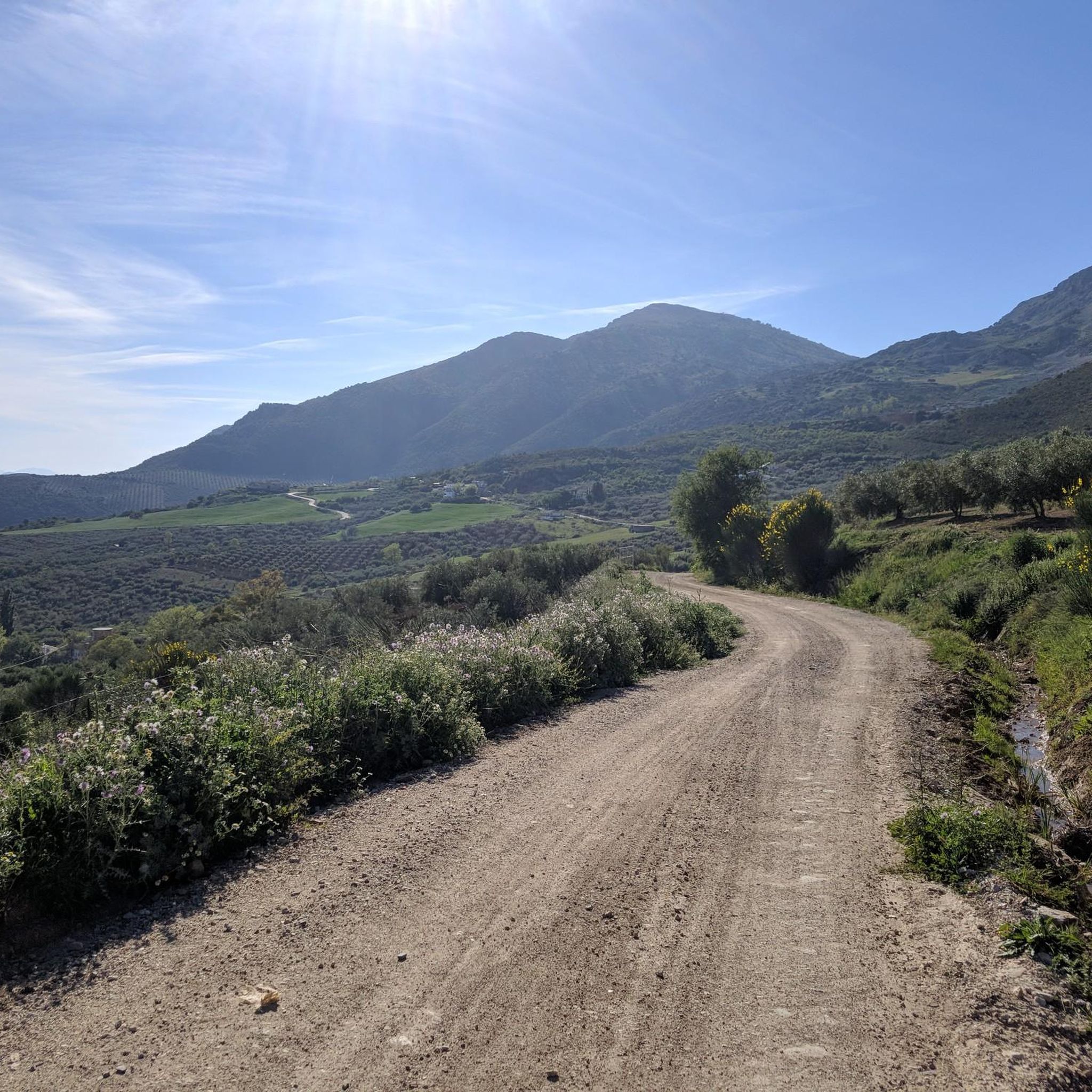
Mountain biking around Zafarraya offers a diverse landscape for riders. The region is characterized by the expansive Polje de Zafarraya plain, surrounded by mountainous terrain like the Sierra de Alhama. Routes often feature a mix of open agricultural areas, forested sections, and elevated viewpoints. The varied topography provides options ranging from gentle plain loops to more challenging mountain ascents.
Best mountain bike trails around Zafarraya
- The most popular mountain bike trail is Sierra de Alhama and Old Railway Loop from…
Last updated: July 17, 2026
2.0
(1)
3
riders
26.6km
02:52
870m
860m
Moderate mountain bike ride. Good fitness required. Advanced riding skills necessary.
88
riders
43.5km
04:24
1,090m
1,090m
Hard mountain bike ride. Very good fitness required. Suitable for all skill levels.

Sign up for free
54
riders
30.5km
03:35
1,350m
1,350m
Hard mountain bike ride. Very good fitness required. Suitable for all skill levels.
3.0
(2)
8
riders
28.2km
03:10
1,180m
1,180m
Hard mountain bike ride. Very good fitness required. Suitable for all skill levels.
4.5
(2)
5
riders
18.4km
01:49
520m
520m
Moderate mountain bike ride. Good fitness required. Suitable for all skill levels.
Get access to more routes and recommendations from other explorers.
Sign up for free
Already have an account?
Our route recommendations are based on thousands of hikes, rides, and runs completed by other people on komoot.
Start today with a free account
Your next adventure awaits.
Login or Signup
Tips from the Community


"La Alcaúca" Controlled Camping Area. Located in the municipality of Alhama de Granada, in the Sierra de Tejeda, Almijara, and Alhama mountain ranges (Granada). Access is from the A-402 road (Alhama–Zafarraya) at km 39.8, followed by a 3 km forest track. Recreational area with tables, barbecues, water fountains, and restrooms. Wooded surroundings: predominantly Aleppo pines and gently sloping terraces.
3
0

Here you can cool off for a bit. You can also view the main skeleton. You'll also encounter several cairns.
7
0

From here on up, you won't find any food or water supplies, unless you get potable water from a well. In the Parideras recreational area, you can replenish water or food on Fridays, Saturdays, and Sundays.
0
0


Mirador El Boquete is a beautiful viewpoint in Zafarraya, on the border between the provinces of Málaga and Granada. This viewpoint offers breathtaking panoramic views over the northern part of the Axarquía region of Málaga and the western part of the Sierra de Almijara and Tejeda Natural Parks. The viewpoint is located near the village of Ventas de Zafarraya, which was the last railway station to be built in 1922 and closed in 1960.
7
0
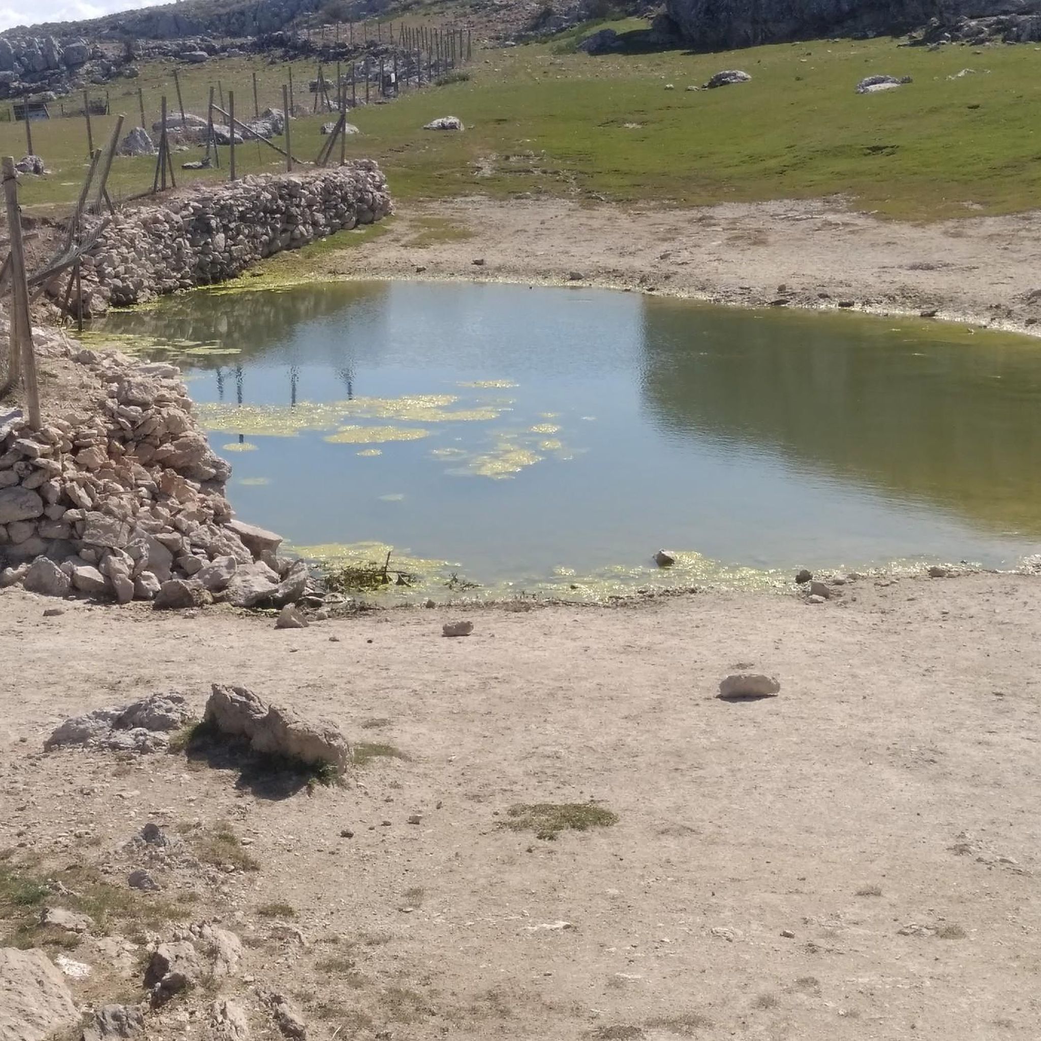
The Zafarraya polje is a closed depression with a flat bottom, surrounded by limestone mountains that are strongly karstified. The waters of the polje are absorbed by several ponors (sinkholes), and during heavy rainfall the polje can be temporarily flooded. This makes it an interesting example of karst landscape and geological processes.
8
3

Top service bike rental. God maintained E-MTB's
0
0
Frequently Asked Questions
How many mountain bike trails are available around Zafarraya?
There are over 20 mountain bike trails around Zafarraya listed on komoot, offering a wide range of options for different skill levels. The region features a mix of easy, moderate, and difficult routes.
Are there easy mountain bike trails suitable for beginners in Zafarraya?
Yes, Zafarraya offers some easier mountain bike trails. While most routes are moderate to difficult, there is at least one designated easy trail. These routes typically traverse the expansive Polje de Zafarraya plain, offering less challenging terrain.
Are there any family-friendly mountain bike routes in the Zafarraya area?
For families looking for a less strenuous ride, consider routes that stick to the flatter sections of the Polje de Zafarraya plain. While specific 'family-friendly' designations aren't always explicit, easier trails are generally more suitable. Always check the route's difficulty and elevation profile before heading out with children.
What are some challenging mountain bike trails for advanced riders near Zafarraya?
Advanced riders will find several challenging routes with significant elevation gain. For instance, the View of Polje de Zafarraya – Zafarraya Plain loop from Zafarraya is a difficult 27.0-mile path offering extensive views. Another demanding option is the Miguel Álvarez Viewpoint – Alcaucín Village loop from Alcaucín, which covers 18.9 miles through mountainous terrain.
Are there circular mountain bike routes around Zafarraya?
Yes, many of the mountain bike trails around Zafarraya are designed as circular routes, allowing you to start and finish at the same point. Examples include the Sierra de Alhama and Old Railway Loop from Periana and the El Aguadero Bridge – Old Railway Tunnel loop from Periana.
What kind of views can I expect on mountain bike trails in Zafarraya?
Mountain bike trails in Zafarraya offer diverse views, ranging from the expansive agricultural landscapes of the Polje de Zafarraya plain to panoramic vistas from elevated viewpoints in the surrounding mountains, such as the Sierra de Alhama. Many routes feature forested sections and open areas, providing varied scenery.
What is the best time of year for mountain biking in Zafarraya?
The best time for mountain biking in Zafarraya is typically during the spring (March to May) and autumn (September to November) when temperatures are milder and the landscape is vibrant. Summers can be very hot, making early morning or late afternoon rides preferable. Winters are generally mild, but higher elevations might experience cooler temperatures.
Are there any interesting landmarks or natural attractions along the mountain bike trails?
Yes, the region around Zafarraya is rich in natural beauty and points of interest. You can explore highlights such as the dramatic Tajos de Alhama Natural Monument, the serene Hundred‑Spout Fountain, or the expansive Zafarraya Plain itself. Some routes may also pass near the Baños de Vilo Hot Springs.
What do other mountain bikers say about the trails in Zafarraya?
The mountain bike trails in Zafarraya are highly regarded by the komoot community, holding an average rating of 3.8 stars from over 10 reviews. Riders often praise the varied terrain, the scenic views across the plain and mountains, and the options available for different skill levels.
Are there mountain bike trails near Zafarraya that offer good parking options?
Many mountain bike routes in the Zafarraya area, especially those starting from towns like Zafarraya or Periana, typically have parking available near the trailhead or in the village centers. It's always advisable to check the specific route details on komoot for recommended starting points and parking information before your ride.
How long do mountain bike trails in Zafarraya typically take to complete?
The duration of mountain bike trails in Zafarraya varies significantly based on distance, elevation, and your riding pace. For example, a moderate route like the Sierra de Alhama and Old Railway Loop from Periana (16.5 miles) takes approximately 2 hours 52 minutes, while a more difficult 27.0-mile path could take around 4 hours 25 minutes.
Most popular attractions around Zafarraya

Get inspired with the komoot mobile app


Explore more
Browse the best MTB trails in other regions.
