The best walks and hikes around Santorcaz
4.6
(193)
1,316
hikers
44
hikes
Hiking around Santorcaz offers diverse outdoor experiences, characterized by its historical landmarks and varied terrain. The municipality, located in the Community of Madrid, features a landscape composed of hills, plains, and streams. Designated routes highlight both natural beauty and cultural features, providing a range of environments for hikers.
Best hiking trails around Santorcaz
- The most popular hiking route is Alcalá de Henares to Los Santos de la Humosa Loop, a 11.2 miles (18.0 km) trail that takes 5 hours…
Last updated: July 25, 2026
3.0
(1)
3
hikers
18.0km
05:04
370m
370m
Hard hike. Very good fitness required. Easily-accessible paths. Suitable for all skill levels.
5.0
(1)
3
hikers
6.62km
01:48
100m
100m
Easy hike. Great for any fitness level. Easily-accessible paths. Suitable for all skill levels.

Sign up for free
1
hikers
15.2km
04:13
240m
240m
Moderate hike. Good fitness required. Easily-accessible paths. Suitable for all skill levels.
4.35km
01:08
30m
30m
Easy hike. Great for any fitness level. Easily-accessible paths. Suitable for all skill levels.
4.8
(6)
16
hikers
Moderate hike. Good fitness required. Easily-accessible paths. Suitable for all skill levels.
Get access to more routes and recommendations from other explorers.
Sign up for free
Already have an account?
Our route recommendations are based on thousands of hikes, rides, and runs completed by other people on komoot.
Start today with a free account
Your next adventure awaits.
Login or Signup
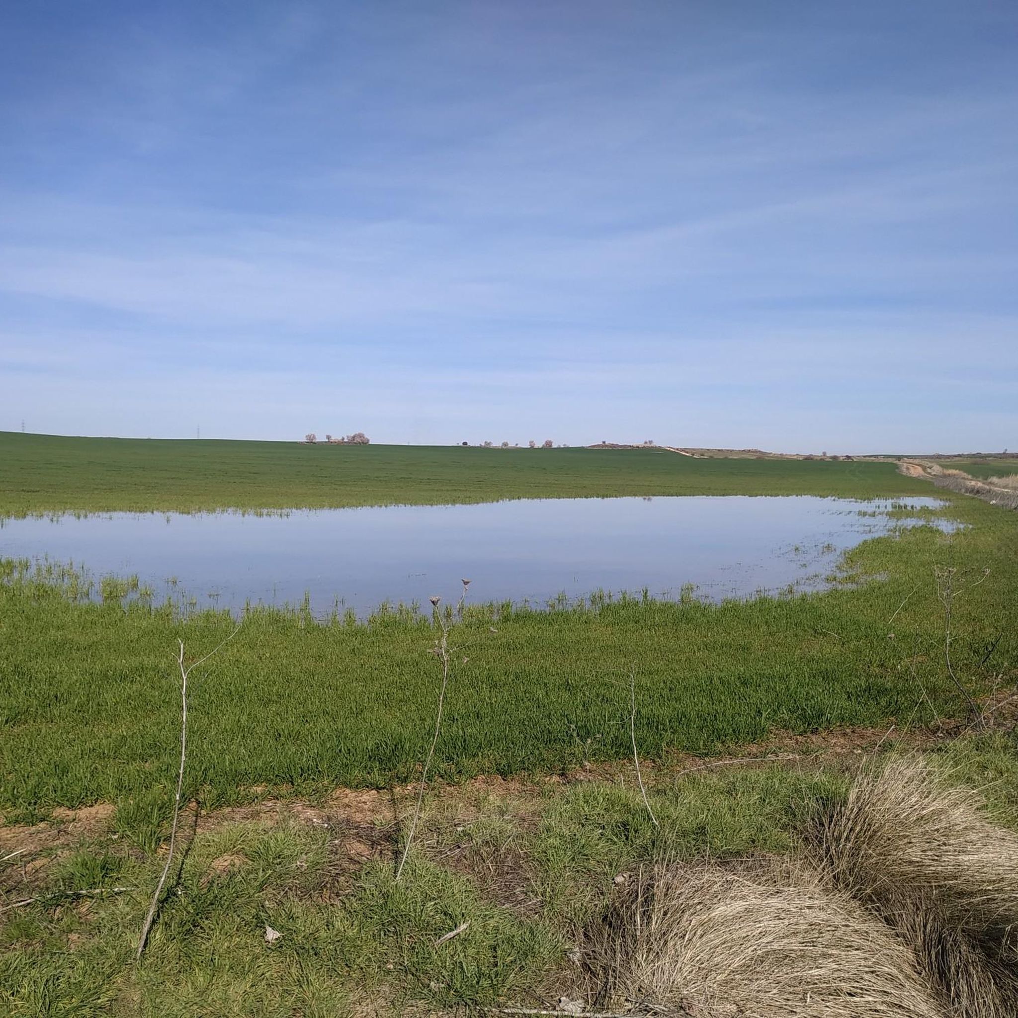
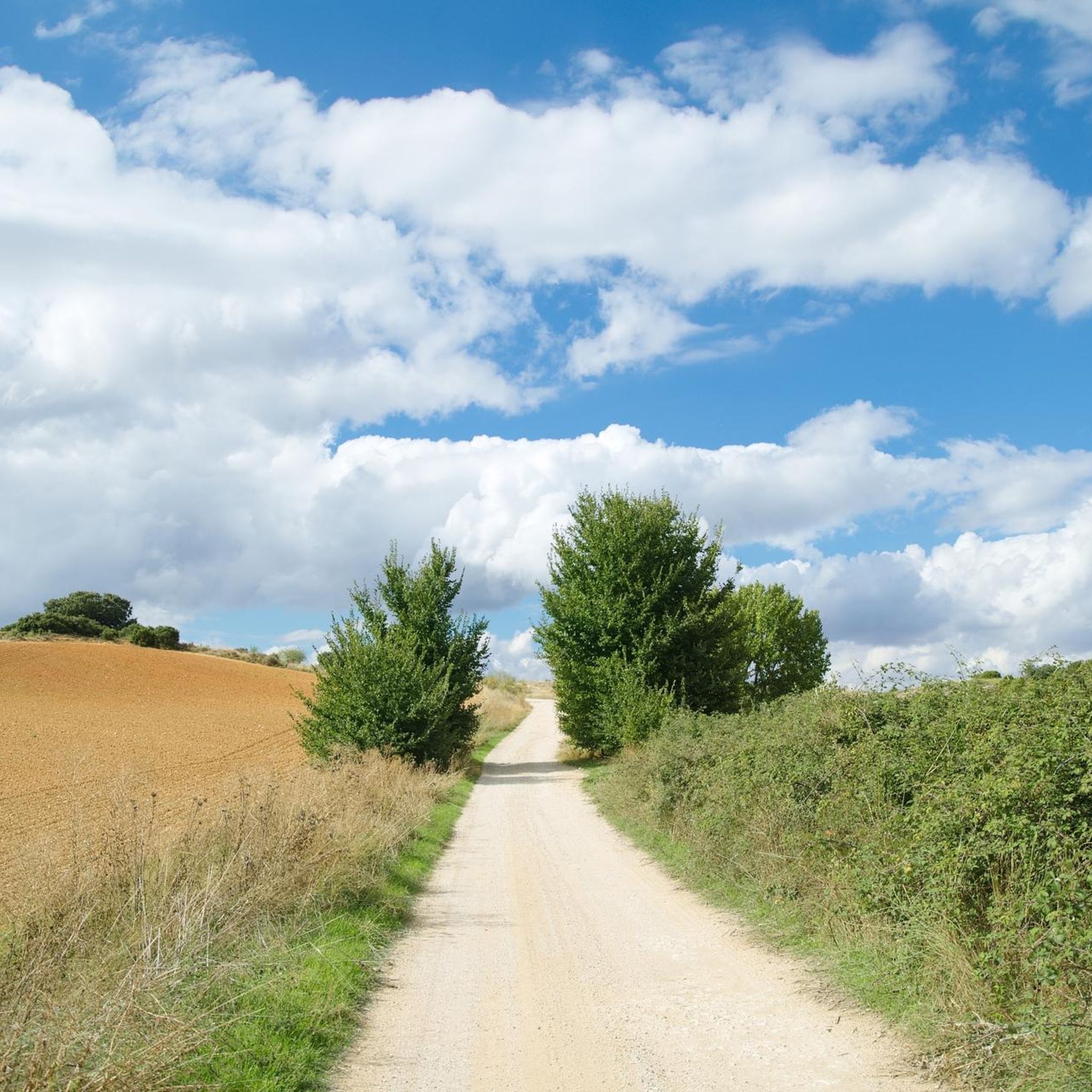
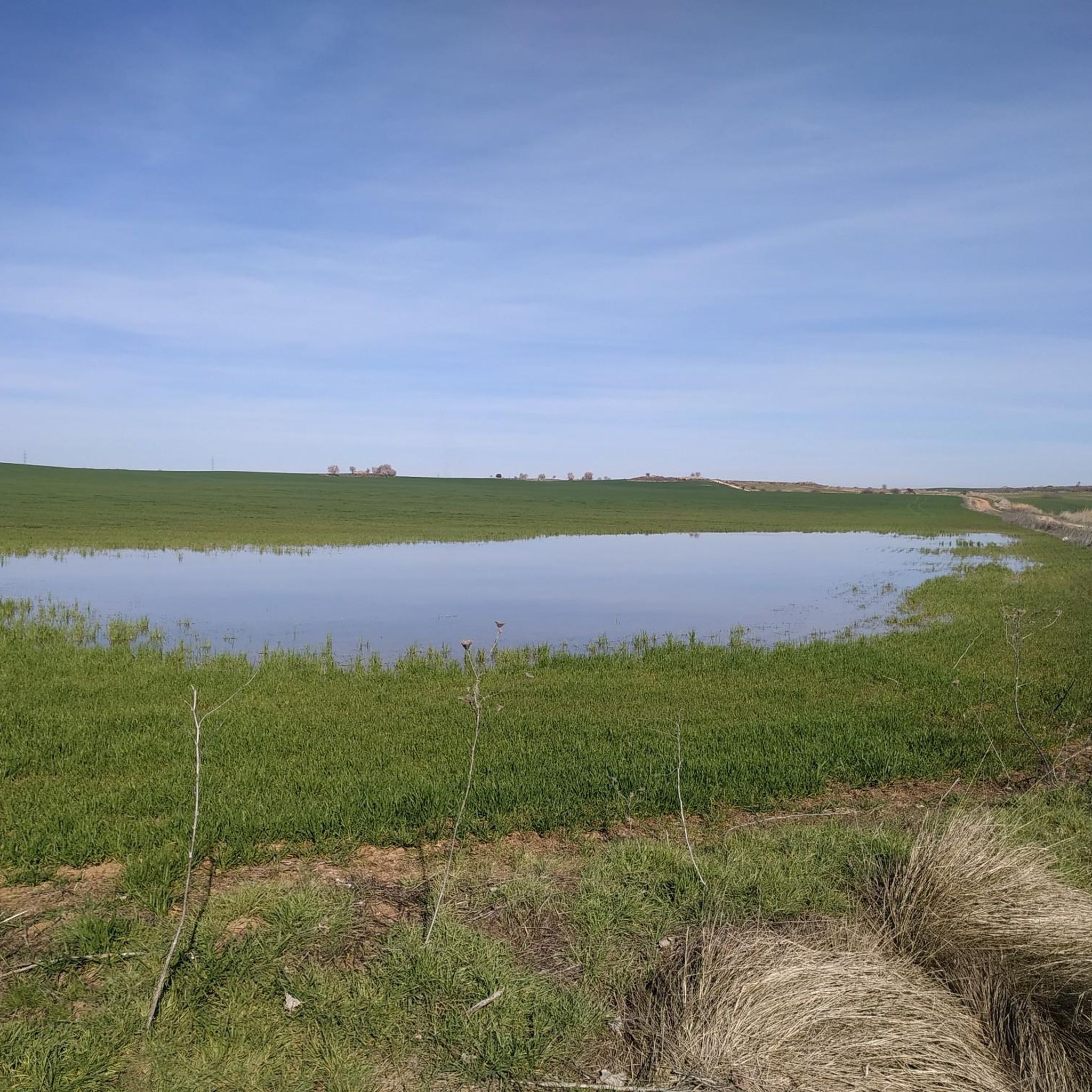
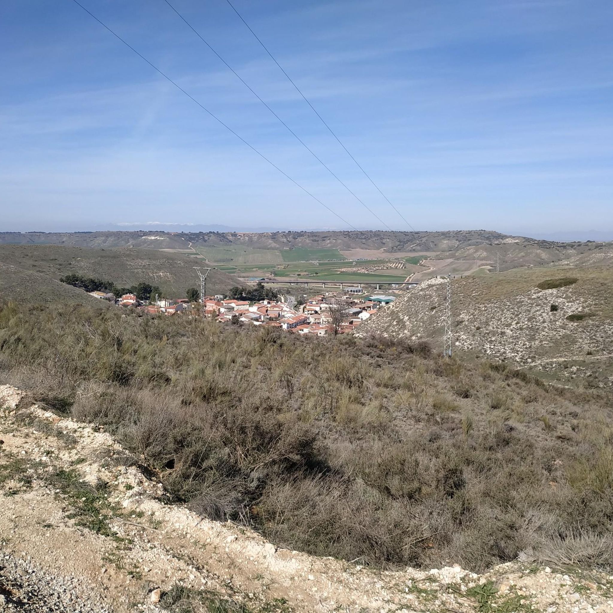
Tips from the Community

The Tajuña Valley has numerous rural roads and forest tracks that run parallel to the river for much of its length, but not all are continuous or always in good condition. The Tajuña River Nature Trail, officially documented as a long hiking route from its source to its mouth, passes through Loranca de Tajuña along its course.
1
0

The starting point is the Plaza de la Villa, following the main street to the outskirts of the town, where the interpretation stands are located.
0
0

August 2025 under construction
0
0
The viewpoint is on the edge of the moor, above the slopes of oaks and holm oaks of the Val stream, and has beautiful views of the slopes of the valley and the white hamlet of Olmeda de las Fuentes.
0
0
The unique urban style of Nuevo Baztán maintains the original Baroque model from the beginning of the 18th century, designed by José de Churriguera by order of Juan de Goyeneche, who had permission from Charles II to build glass, paper and textile factories on Spanish territory. The Navarrese businessman was originally from Arizkun, in the Baztán Valley, but spent time in Madrid because he had other properties and professional relations with the Court. He chose the site of Madrid's Alcarria to found an industrial and rural centre in honour of his homeland and commissioned the Madrid architect to build a glass factory, a farming village of half a thousand inhabitants, a palace, a monumental church and gardens with centuries-old pines and elms. The town preserves cobbled streets, stone squares, rural buildings from the time of its foundation, between 1709 and 1713, and palace gardens, a beautiful heritage complex declared a Historic-Artistic Monument in 1941 and a Site of Cultural Interest in 2000.
0
0
The Mirador de Peña Bermeja is a fantastic viewpoint from which to contemplate beautiful sunsets over the endless plain of the Henares River valley and the horizon of the Guadarrama mountain range.
0
0

Fountain in the small park in front of the church.
0
0

Beautiful church in the town of Azuqueca de Henares.
1
0
Frequently Asked Questions
How many hiking trails are available in Santorcaz?
There are over 45 hiking routes around Santorcaz, offering a diverse range of experiences. These include paths suitable for various skill levels, from easy walks to more challenging treks.
What types of terrain can I expect on Santorcaz hiking trails?
Hiking trails in Santorcaz feature varied terrain, encompassing historical paths, hills, plains, and streams. You'll encounter landscapes ranging from the Camino de Guadalajara to areas around the Arroyo de las Fuentes, providing a mix of natural beauty and cultural interest.
Are there any easy hiking routes suitable for beginners or families in Santorcaz?
Yes, Santorcaz offers several easy hiking routes perfect for beginners or families. There are 22 easy trails available. A great option is Los Santos de la Humosa — circular del Pueblo y Los Miradores, an easy 4.1-mile (6.6 km) path that provides scenic views of the village and surrounding areas.
What historical landmarks can I see while hiking in Santorcaz?
Santorcaz is rich in historical landmarks. On the Ruta Norte, you can explore the archaeological park of the Carpetanos at Llano de la Horca, the Torrecilla or Atalaya Árabe (Arab Watchtower), and the ruins of the Ermita de Orcalez. Other notable historical sites in the wider area include the Goyeneche Palace of Nuevo Baztán and the Ruins of Alcalá la Vieja Fortress.
Are there any challenging hiking trails in Santorcaz for experienced hikers?
For experienced hikers seeking a challenge, Santorcaz has difficult routes. The Ruta Norte, for instance, is classified as high difficulty, taking approximately three hours to complete. Another demanding option is the Alcalá de Henares to Los Santos de la Humosa Loop, an 11.2-mile (18.0 km) trail that connects historical areas with varied landscapes and significant elevation changes.
What do other hikers enjoy most about hiking in Santorcaz?
The hiking routes in Santorcaz are highly rated by the komoot community, with an average score of 4.6 stars from over 170 reviews. Hikers often praise the varied terrain, the blend of natural beauty with historical landmarks, and the options available for different ability levels.
Are there any circular hiking routes in Santorcaz?
Yes, Santorcaz offers several circular hiking routes. A popular choice is Los Santos de la Humosa — circular del Pueblo y Los Miradores, which is an easy loop providing views of the village and its surroundings. The Ruta Sur also follows a circular path, departing from the village and returning after passing through El Sapar and El Olmo.
What natural features can be found along the hiking trails in Santorcaz?
Hiking in Santorcaz allows you to experience various natural features. You'll find streams like the Arroyo de las Fuentes, open plains such as the Llano de la Horca, and gentle hills that offer scenic viewpoints. The landscape is characterized by a mix of these elements, providing a diverse natural environment.
Is Santorcaz a good destination for hikers interested in cultural exploration?
Absolutely. Santorcaz is an excellent destination for cultural exploration. Its hiking routes are interwoven with historical sites, including archaeological parks, ancient watchtowers, and hermitage ruins. The area's blend of natural beauty and cultural heritage makes for a rich hiking experience.
Are there any specific points of interest or viewpoints along the trails?
Yes, several points of interest and viewpoints enhance the hiking experience. The Ruta Norte leads to the Torrecilla or Atalaya Árabe, which offers scenic views of Anchuelo. You can also find various summits in the surrounding area, such as Malvecino Summit and Ecce-Homo summit, providing panoramic vistas.
What is the best time of year to go hiking in Santorcaz?
Santorcaz offers pleasant hiking conditions for much of the year. Spring and autumn generally provide mild temperatures and vibrant scenery, ideal for exploring. Summer can be warm, so early morning or late afternoon hikes are recommended. Winter hiking is also possible, though conditions may vary.
Are there any trails that pass by water features like streams or fountains?
Yes, some trails in Santorcaz incorporate water features. The Ruta Norte, for example, crosses the Arroyo de las Fuentes (Stream of the Fountains) and includes a visit to the Fuente del Caño Alto. These features add to the natural beauty and historical context of the routes.
Most popular routes around Santorcaz
Most popular attractions around Santorcaz

Get inspired with the komoot mobile app


Explore more
Browse the best Hikes in other regions.
