The best walks and hikes around Soto Del Barco
4.4
(496)
3,362
hikers
14
hikes
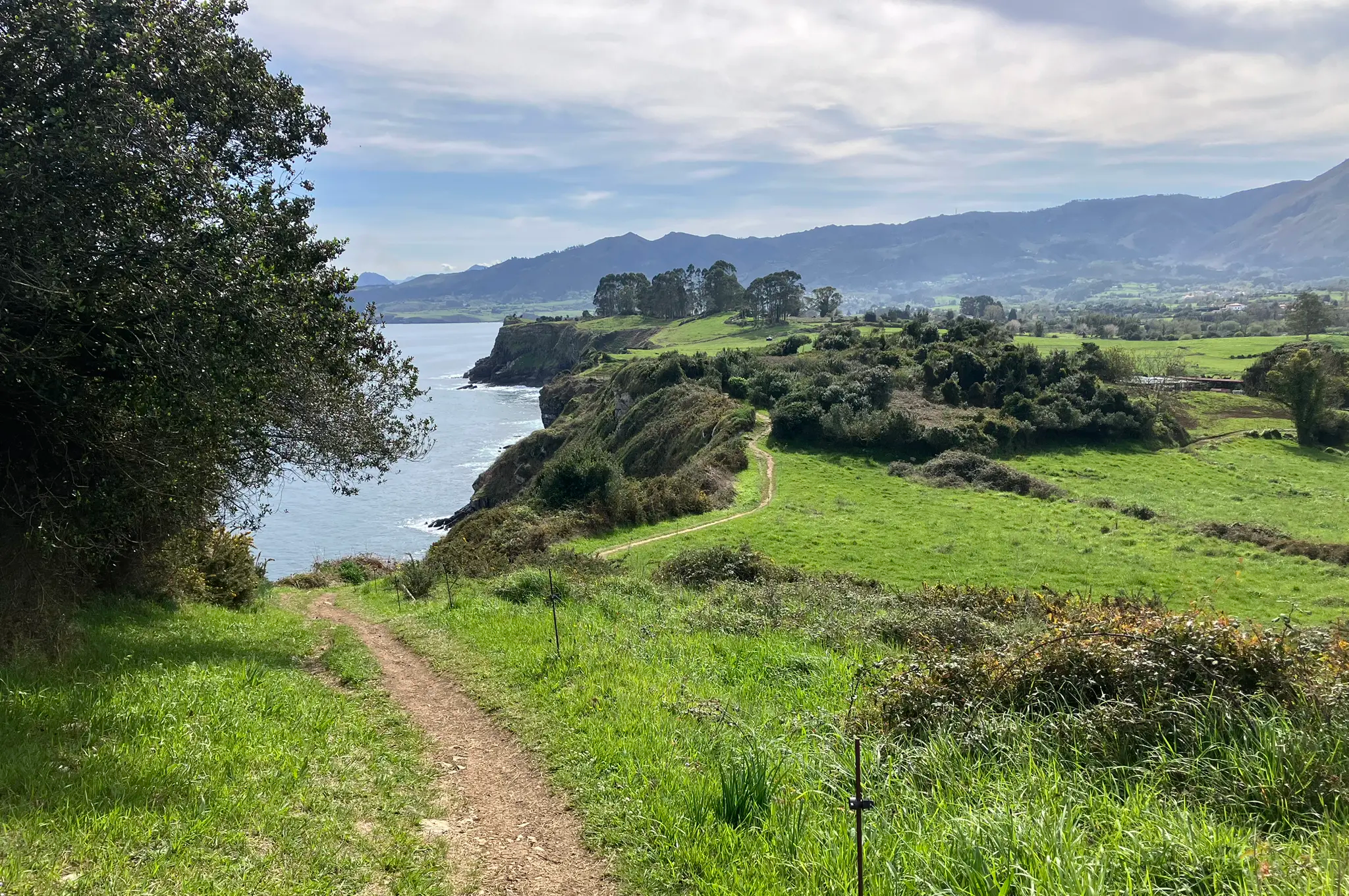
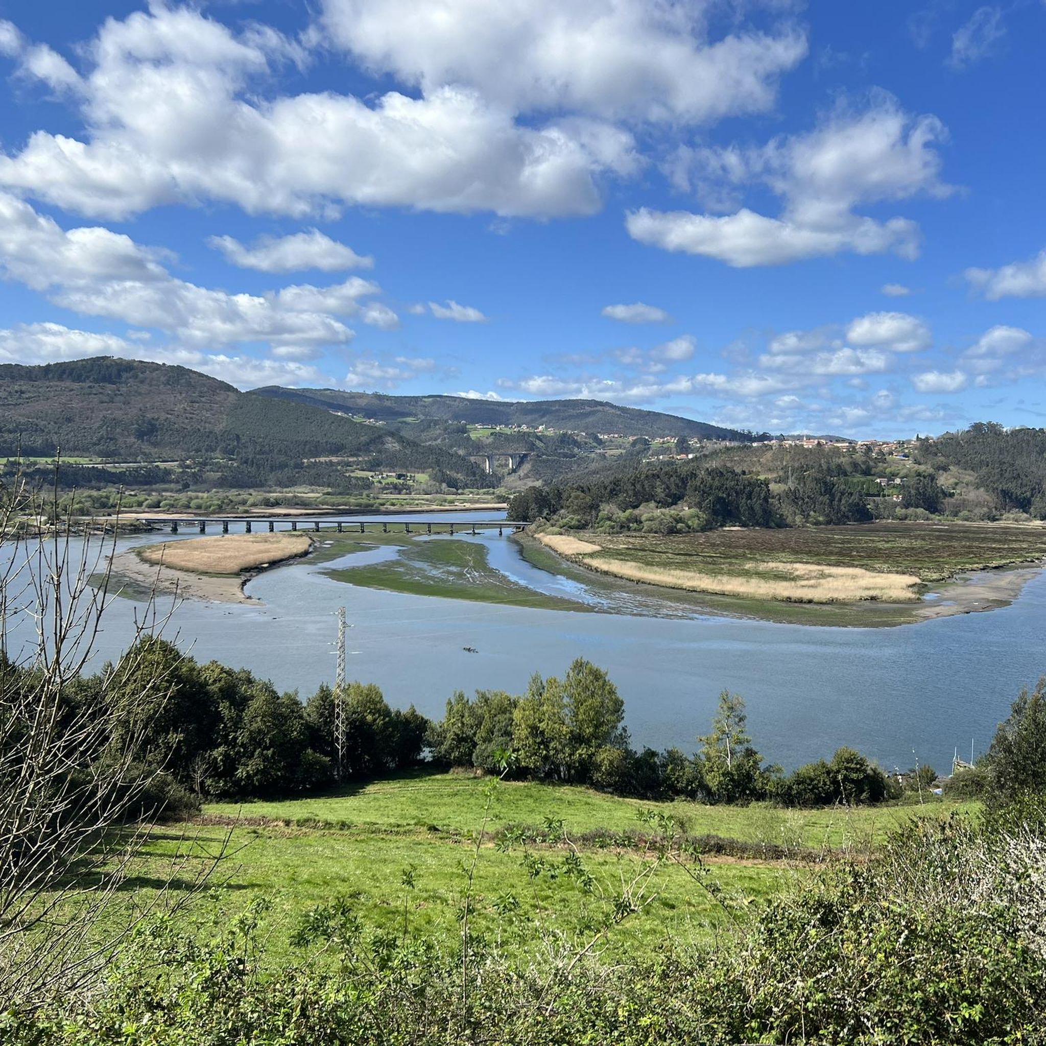
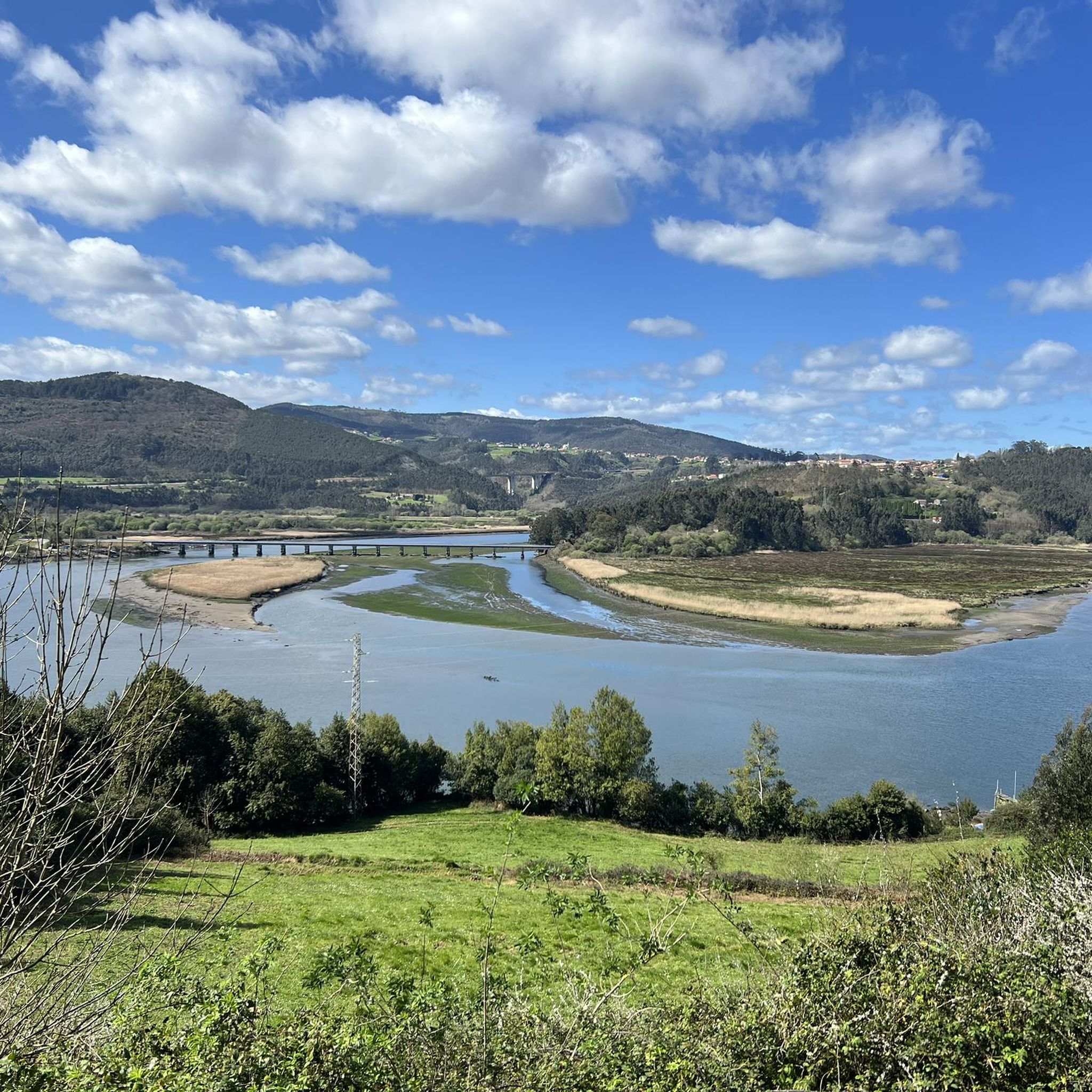
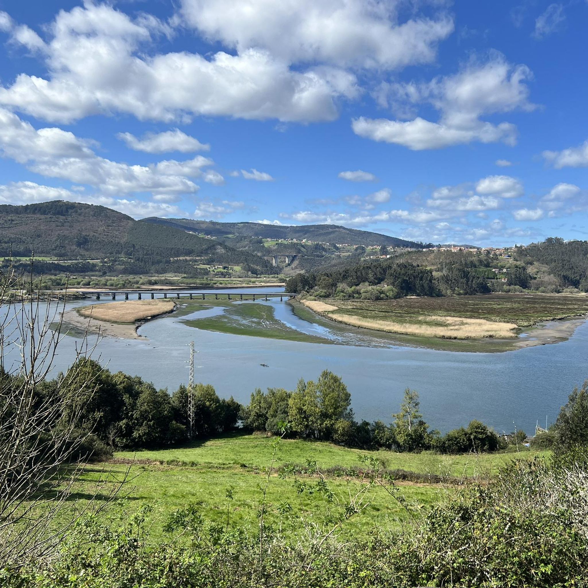
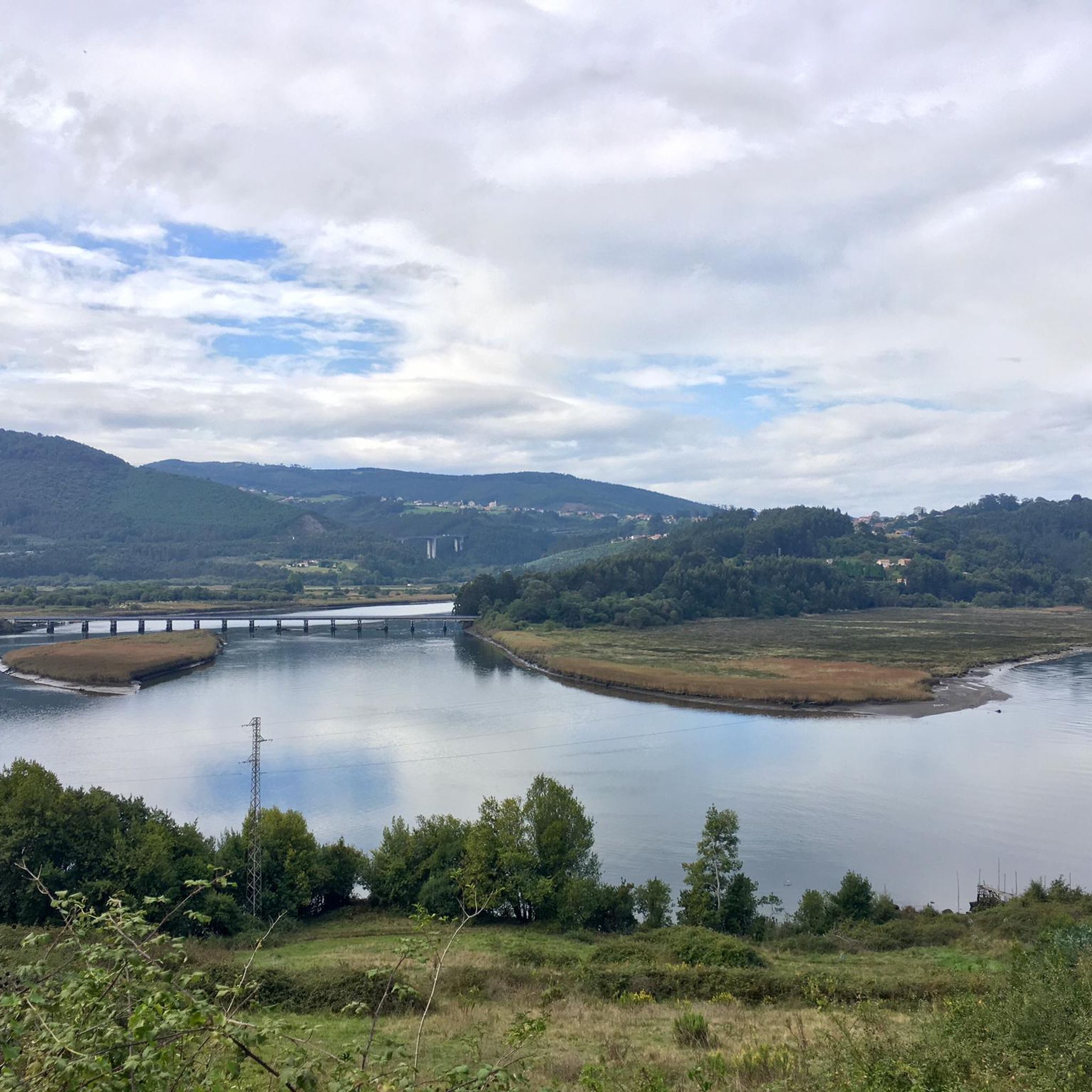
Hiking around Soto Del Barco offers diverse landscapes where the Nalón River meets the Cantabrian Sea, creating a dynamic estuary environment. The region features a generally gentle relief, with the Alto de la Corona marking the highest point at 467 meters (1,532 feet). Coastal paths provide views of the expansive Los Quebrantos Beach and Isla de Deva, while inland routes traverse areas with Devonian limestone and clay. This blend of riverine, coastal, and undulating terrain provides varied hiking opportunities.
Best…
Last updated: October 10, 2026
5.0
(1)
11
hikers
13.2km
03:49
320m
320m
Hike 8.2 miles (13.2 km) on the moderate Soto del Barco to Santiago del Monte section of the Camino Primitivo, gaining 1056 feet (322 metres
5.0
(1)
7
hikers
12.1km
03:26
280m
280m
Moderate hike. Good fitness required. Easily-accessible paths. Suitable for all skill levels.

3.8
(4)
7
hikers
15.8km
04:25
310m
310m
Moderate hike. Good fitness required. Easily-accessible paths. Suitable for all skill levels.
4.5
(4)
20
hikers
19.8km
05:39
460m
460m
Hard hike. Very good fitness required. Easily-accessible paths. Suitable for all skill levels.
5.0
(1)
11
hikers
13.9km
03:46
190m
190m
Moderate hike. Good fitness required. Easily-accessible paths. Suitable for all skill levels.
Get access to more routes and recommendations from other explorers.
Already have an account?
Our route recommendations are based on thousands of hikes, rides, and runs completed by other people on komoot.
Start today with a free account
Your next adventure awaits.

Other adventures around Soto Del Barco

Tips from the Community

You should reserve in advance. In August €20. It doesn't hurt to speak a little Spanish. Very friendly host.
0
0
Not a great walk, there are no oak and beech forests. They are monotonous eucalyptus forests. And a large part of the walk is on the road.
0
0

The Parish Church of Santiago del Monte is a place of great significance in Castrillón, Asturias, Spain. The church has its roots in the Iron Age (3rd century BC). Over the centuries, it has been a place of devotion and spirituality.
1
1

Rolling along the Nalón River we find beautiful views of the most important river mouth in the region. The castle was built by Alfonso III to have good control of the coast and the estuary.
1
0

It was badly damaged during the civil war, after which it had to be rebuilt, acquiring its current shape, in which previous elements such as the header survive. It is in the middle of the Camino de Santiago, and it is a good place to sit down to rest and contemplate all the beauty of the surroundings.
1
1
A group of small lakes located in the Monte de la Granda mountain range. The lakes are surrounded by lush beech and oak forests, and the area is home to a number of bird species, including golden eagles, peregrine falcons and hawks. There are several hiking trails that pass through the area.
3
0
It is next to the Nalón River on a promontory barely 40 meters high. It has excellent visual control over the mouth of the most important flavial artery in the region. It was built by Alfonso III in order to protect the coast and the estuary from Norman incursions.
1
1
Frequently Asked Questions
What types of landscapes can I expect to see while hiking in Soto del Barco?
Soto del Barco offers a unique blend of landscapes where the Nalón River meets the Cantabrian Sea. You'll find dynamic estuary environments, expansive sandy beaches like Los Quebrantos, and views of the Isla de Deva. Inland, the terrain features gentle hills, Devonian limestone formations, and areas with 'Indiano' architecture, providing a diverse hiking experience.
Are there any easy hiking trails suitable for beginners or a relaxed stroll?
Yes, Soto del Barco has several easy trails. For a pleasant coastal walk, consider the Mirador Punta d'El Pozacu – Playa de los Quebrantos loop from San Esteban de Pravia. This 4.1 km path offers coastal scenery and access to Los Quebrantos Beach, making it ideal for an easy outing.
Can I find challenging day hikes in the Soto del Barco area?
Absolutely. For those seeking a more demanding experience, trails like the Monte Granda Lagoons – Castillo de San Martín loop from El Parador offer a significant challenge. This difficult route spans nearly 30 km and involves substantial elevation changes, providing a rewarding full-day adventure.
Are there any circular hiking routes available?
Many of the trails in Soto del Barco are designed as circular routes, allowing you to start and end at the same point. Examples include the Northern Way: Soto del Barco Loop, which follows part of the Camino de Santiago, and the Cabo Vidrias loop from Ranón, which explores coastal headlands.
What historical sites or landmarks can I see while hiking in Soto del Barco?
The region is rich in history and culture. You can encounter the ancient Castillo de San Martín, which overlooks the Nalón estuary. Additionally, many routes pass through villages showcasing beautiful 'Indiano' architecture, such as the Selgas Palace and Quinta de Selgas, offering a glimpse into the area's unique heritage.
What do other hikers enjoy most about the trails in Soto del Barco?
The trails in Soto del Barco are highly rated by the komoot community, with an average score of 4.4 stars from over 300 reviews. Hikers often praise the diverse scenery, from stunning coastal views and river estuaries to charming historical villages. The variety of routes catering to different ability levels is also frequently highlighted.
Are there any trails that offer panoramic viewpoints?
Yes, many trails provide excellent viewpoints, especially those along the coast or reaching higher elevations. The Mirador Punta d'El Pozacu – Playa de los Quebrantos loop offers beautiful coastal vistas. For broader views, the 'Alto de la Corona,' the highest point in the municipality at 467 meters, provides rewarding panoramas of the surrounding area.
Is Soto del Barco a good destination for family-friendly hikes?
Soto del Barco is suitable for family-friendly hikes, particularly with its selection of easy and moderate trails. The generally gentle relief and coastal paths, such as the Mirador Punta d'El Pozacu – Playa de los Quebrantos loop, are ideal for families looking for accessible and scenic walks without extreme difficulty.
What is the best time of year to go hiking in Soto del Barco?
Given its coastal location, Soto del Barco generally experiences mild weather. The spring and autumn months are often ideal for hiking, offering pleasant temperatures and fewer crowds. Summer can also be enjoyable, especially for coastal walks, though it may be warmer and busier. Winters are mild but can bring more rain.
How many hiking routes are available in Soto del Barco?
There are 12 hiking routes available in Soto del Barco, catering to various fitness levels. This includes 3 easy trails, 6 moderate routes, and 3 more difficult options, ensuring there's a suitable path for almost every hiker.
Is public transport available to reach hiking trailheads in Soto del Barco?
Public transport options, such as local bus routes, connect various towns and villages within Soto del Barco and the surrounding area. These can often provide access to trailheads, including those near the Nalón estuary or coastal areas. It's advisable to check local bus schedules for specific routes and stops closest to your desired starting point.
Are there specific permits required for hiking in Soto del Barco?
Generally, no specific permits are required for hiking on the established trails in Soto del Barco. The area is open for public access, including sections of the Camino de Santiago and local walking routes. However, always respect private property and any local signage you may encounter.
Most popular routes around Soto Del Barco
Most popular attractions around Soto Del Barco

Get inspired with the komoot mobile app


Explore more
Browse the best Hikes in other regions.
