The best walks and hikes around Brachbach
4.5
(190)
372
hikers
27
hikes
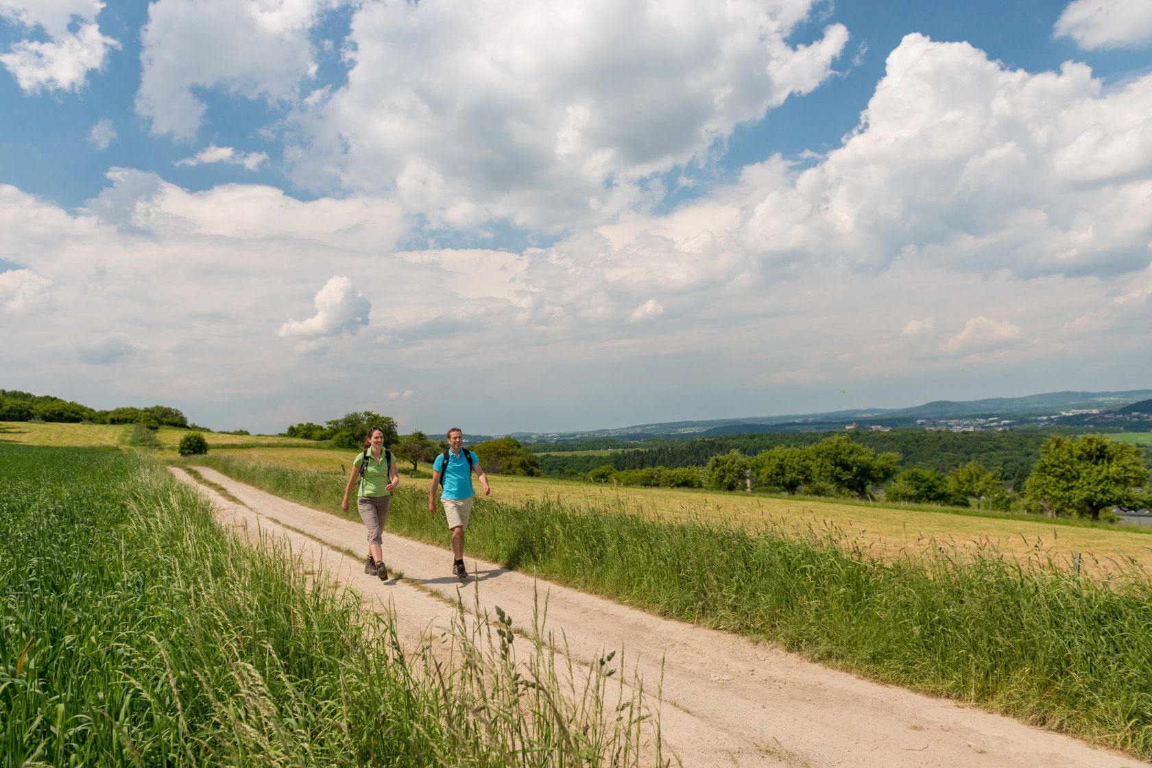
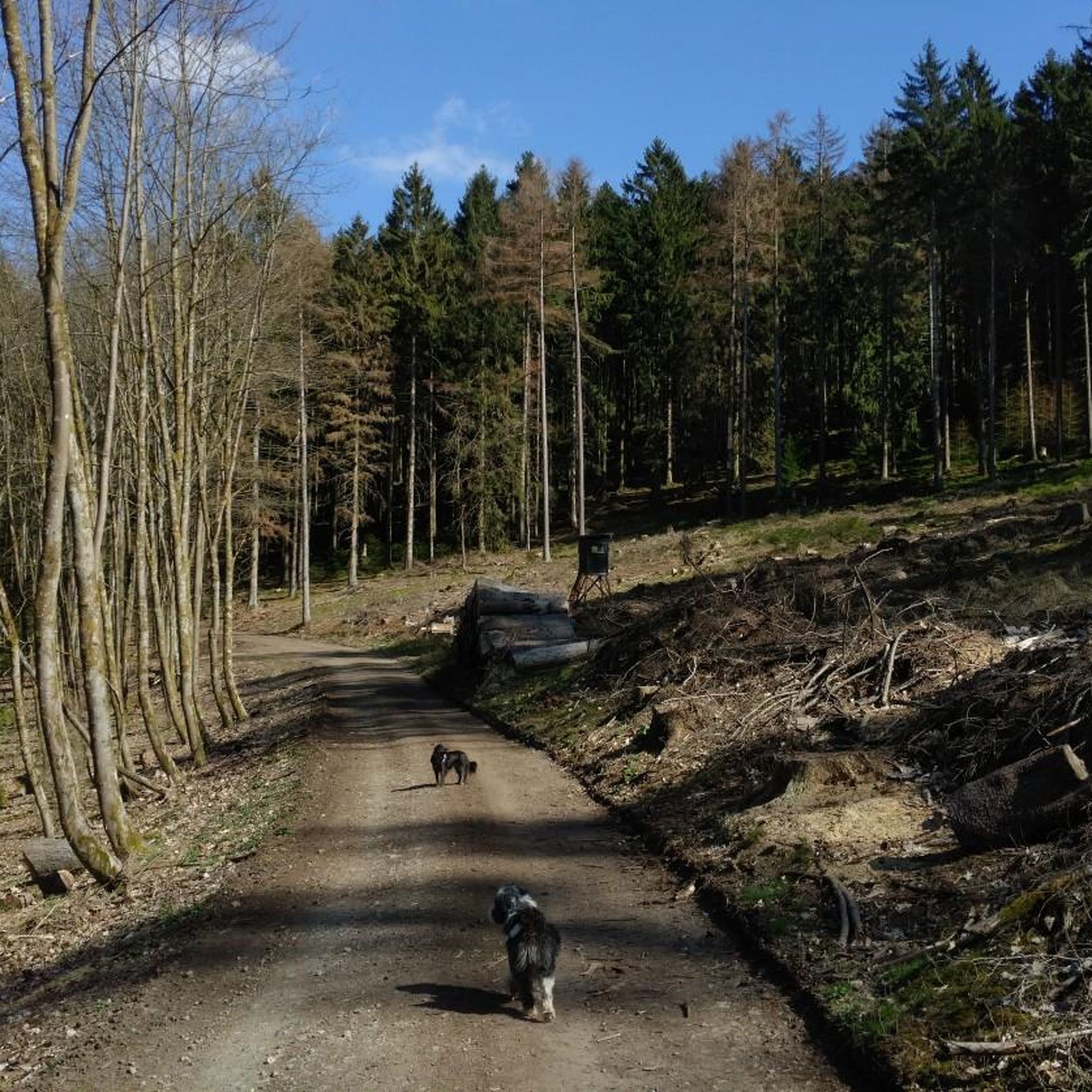
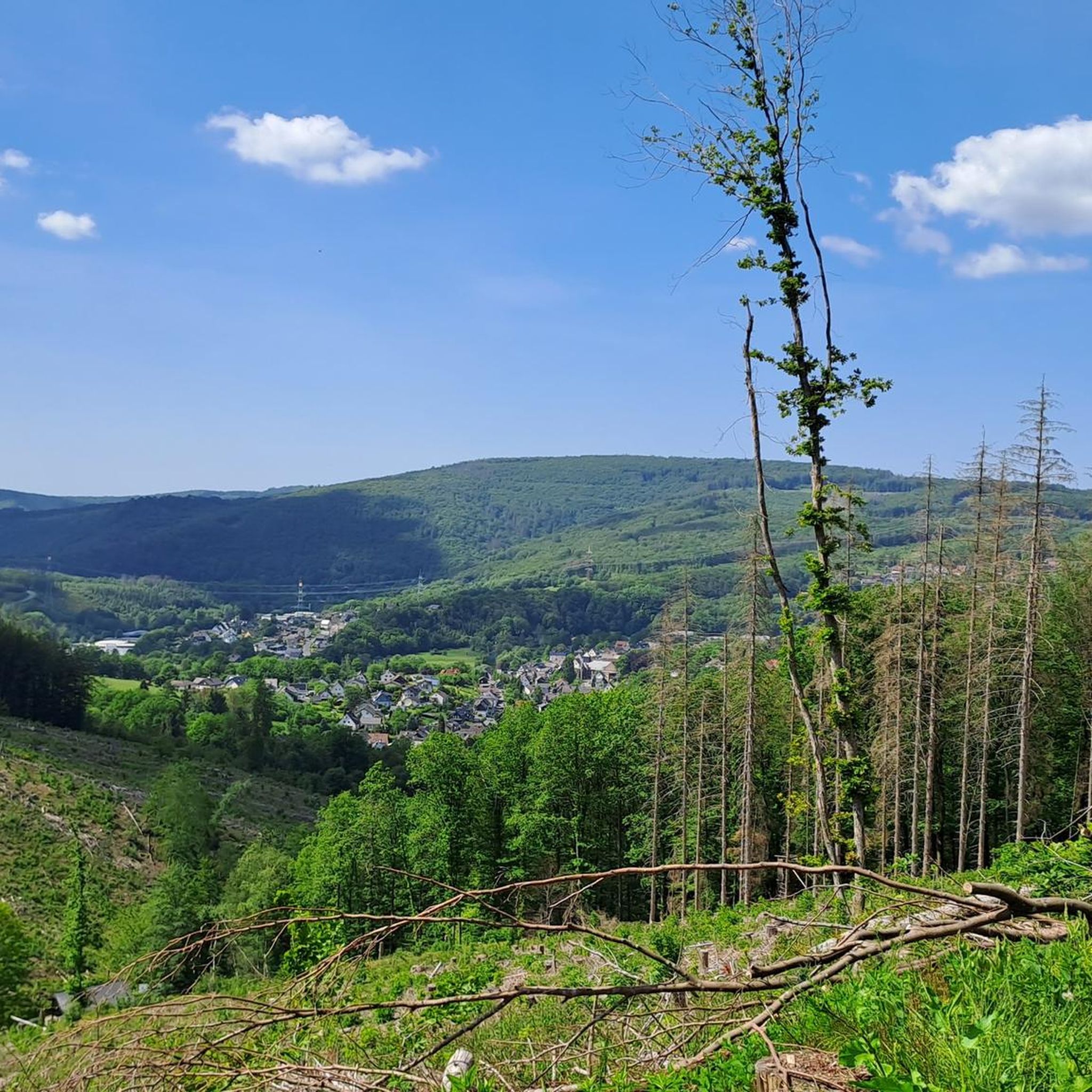
Hiking around Brachbach offers diverse landscapes in the Westerwald-Sieg region, characterized by lush meadows, dense forests, and clear streams between the Sieg and Heller rivers. The terrain includes rugged landscapes and steep mountains, providing varied experiences for hikers. Notable natural features include the Giebelwald forest and significant basalt formations like the Druidenstein and Hohenseelbachskopf, which offer historical and geological interest. The region's topography provides both challenging ascents and scenic valley views.
Best hiking trails around Brachbach
- The most popular hiking…
Last updated: September 24, 2026
4.4
(46)
132
hikers
9.79km
02:53
280m
270m
Moderate hike. Good fitness required. Easily-accessible paths. Suitable for all skill levels.
4.3
(3)
20
hikers
8.25km
02:22
200m
200m
Moderate hike. Good fitness required. Easily-accessible paths. Suitable for all skill levels.

4.8
(8)
18
hikers
Moderate hike. Good fitness required. Easily-accessible paths. Suitable for all skill levels.
5.0
(3)
14
hikers
Moderate hike. Good fitness required. Easily-accessible paths. Suitable for all skill levels.
4.5
(2)
12
hikers
5.14km
01:28
120m
120m
Easy hike. Great for any fitness level. Easily-accessible paths. Suitable for all skill levels.
Get access to more routes and recommendations from other explorers.
Already have an account?
Our route recommendations are based on thousands of hikes, rides, and runs completed by other people on komoot.
Start today with a free account
Your next adventure awaits.
Other adventures around Brachbach

Tips from the Community

The Josefsglück slate visitor mine and the waterworks at the Unterer Grimmlack are located on the approximately 10-kilometer-long Wäller Tour Grubenwanderweg Brachbach trail in the municipality of Brachbach. Josefsglück Mine + History: The slate mine was operated from 1896 or 1903 until 1925. During World War II, it served as an air-raid shelter, after which it was operated again on a part-time basis from 1945 to 1948. + Current use: Since June 2011, it has been a visitor mine, the Schieferstollen Josefsglück. + Special features: Six mining halls and a unique presentation element worldwide, the so-called "rising sun", can be seen. + Opening hours: Open from May to October by prior arrangement with the Brachbach local history society. Tours last approximately 1 to 1.5 hours. Waterworks and Unterer Grimmlack + Location: The stations belong to the Grubenwanderweg (mining trail) created by the "Glück-Auf" Brachbach local history society, which leads past over 30 historical mining sites. + Function: Some of the old adits (such as the Stollen Untere Girnbach or Langgrube) are used in connection with the local water supply or as drinking water reservoirs. + Hiking: The circular route connects the heritage of ore and slate mining with nature stations and on-site information boards.
0
0
The Venus-Charlottenstollen mine is a historic mine in Brachbach, which is today a popular stop on the Brachbach mine hiking trail. History of the mine + Early operating period: The mine was in operation from 1897 to 1930. + Slate mining: Slate was mined there from 1910 onwards. + World War II: In 1942, it was recommissioned as an iron ore and slate mine. + End: Slate mining continued until 1949, before the facility finally closed in the 1950s. Current condition and hiking + Restoration: The Brachbach local history association (Heimatverein Brachbach) has prepared the site. + Sights: On site, you can see the adit entrance, remains of the spoil heap, and the old slate splitting area. + Special feature: A well provides fresh mine water.
0
0
The path was formerly used by miners as their daily commute to the Kaiserschacht mine in Eiserfeld.
0
0
The Ecker Schacht is a historic machine shaft of the former iron ore mine "Grube Ecke" in Brachbach (Rhineland-Palatinate). History and facts + Location: It is located in the Hellerbergland near Brachbach, not far from the local shooting range. + Construction: From 1876 onwards, sinking of the shaft began on the "Ecker Hof". It was the first larger shaft facility in the Brachbach district. + Depth: The shaft reached a depth of around 157 meters with several deep levels for iron ore extraction. + Significance today: The area around the former machine shaft is now fenced off and is part of the regional mining trail as a stop. The former mine house of the mine is also located directly nearby.
0
0

Nicely done, and the signposts are wonderfully designed in the Brachbach area and surroundings. Often in forks of branches and tree trunks.
0
0

Great views from Pfannenberg into the Sieg valley.
0
0

The entire place is nostalgically oriented towards the miner.
0
0

Everything you need is there.
1
0
Frequently Asked Questions
What kind of terrain can I expect on hikes around Brachbach?
Hiking around Brachbach offers a diverse landscape, characterized by lush meadows, dense forests, and clear streams between the Sieg and Heller rivers. You'll encounter rugged landscapes and steep mountains, providing varied experiences from challenging ascents to scenic valley views, particularly over the Sieg Valley.
Are there any easy hiking trails suitable for beginners or families in Brachbach?
Yes, Brachbach offers several easy trails. For a less strenuous option, consider the Ant Hill in Westerwald – Brachbach Shelter loop from Brachbach, which is an easy 3.8-mile (6.1 km) path. Overall, there are over 18 easy routes available in the area.
Where can I find panoramic views or observation towers in the Brachbach area?
For expansive views, many trails offer vistas over the Sieg Valley. You can also visit the Pfannenbergturm Observation Tower, a 20-meter-high tower built from a disused winding tower, offering fantastic views of the Siegerland and Westerwald regions. Another option is the Otto Tower on the Kahlenberg, which provides panoramic views of parts of the Siegerland.
Are there any circular hiking routes around Brachbach?
Yes, many of the trails around Brachbach are circular. For example, the View of the Sieg Valley loop from Brachbach is a moderate 5.7-mile (9.2 km) path that provides expansive views. Another circular option is the Brachbach Forest Spring – Schachtspädchen Downhill Trail loop from Brachbach.
What natural landmarks or historical sites can I explore while hiking in Brachbach?
The region is rich in natural and historical features. You can visit the striking Druidenstein, a 20-meter-high basalt cone with historical significance as a potential Celtic site. Similarly, the Hohenseelbachskopf was also a significant Celtic settlement. For mining history, the Wäller Tour Grubenwanderweg Brachbach features historical markers and restored tunnel entrances, including the visitor mine Schieferstollen "Josefsglück".
What do other hikers enjoy most about the trails in Brachbach?
The hiking trails in Brachbach are highly rated by the komoot community, with an average score of 4.5 stars from over 90 reviews. Hikers often praise the diverse landscapes, the well-maintained paths, and the scenic views over the Sieg Valley and through the Giebelwald forest.
Are there any gorges or unique rock formations to see near Brachbach?
Yes, the area features interesting geological formations and gorges. You can explore the Buchheller Valley or the Fischbach Gorge. Additionally, the Rock cutting of the Fischbacher Werk mine railway offers another unique sight.
Can I reach hiking trails in Brachbach using public transport?
Brachbach is part of the Westerwald-Sieg region, which generally has public transport connections. While specific routes may vary, it's advisable to check local bus and train schedules to determine the best access points to trailheads from Brachbach's center.
Are there specific trails that highlight the region's mining history?
Absolutely. The Wäller Tour Grubenwanderweg Brachbach is specifically designed to showcase the region's mining heritage. This trail features over 30 ground monuments, former adit entrances, and the restored visitor mine Schieferstollen "Josefsglück".
What is the best time of year to go hiking in Brachbach?
Brachbach is a year-round outdoor destination. Spring and autumn offer pleasant temperatures and vibrant scenery, with lush greenery or colorful foliage. Summer is ideal for longer days and warmer weather, while winter provides opportunities for cross-country skiing and tobogganing, though some hiking trails might be snow-covered.
Are there any long-distance hiking trails that pass through Brachbach?
Yes, Brachbach is situated along the Natursteig Sieg, a 200 km long-distance hiking trail. You can join stages of this trail, such as the one from Kirchen (Sieg) to Mudersbach, which offers varied terrain through forests and along water bodies.
Are there options for moderate hikes with some elevation gain?
Yes, Brachbach offers several moderate routes with elevation gain. The Brachbach Shelter – View of the Sieg Valley loop from Brachbach is a moderate 5.1-mile (8.3 km) trail with varied terrain and some ascents, typically completed in about 2 hours 20 minutes.
Most popular routes around Brachbach
Most popular attractions around Brachbach

Get inspired with the komoot mobile app


Explore more
Browse the best Hikes in other regions.
