The best MTB trails around Almogía
4.3
(398)
3,847
riders
152
rides
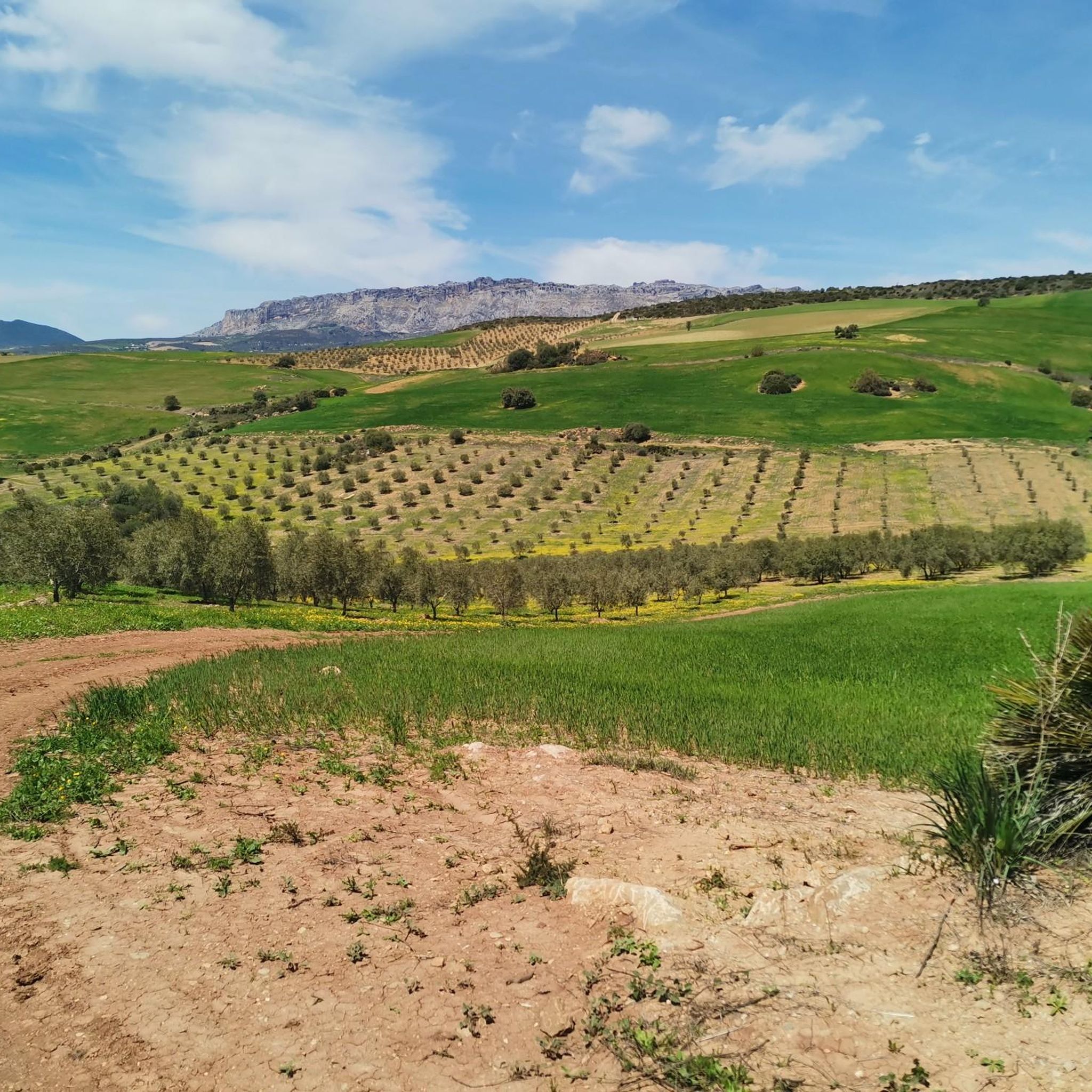
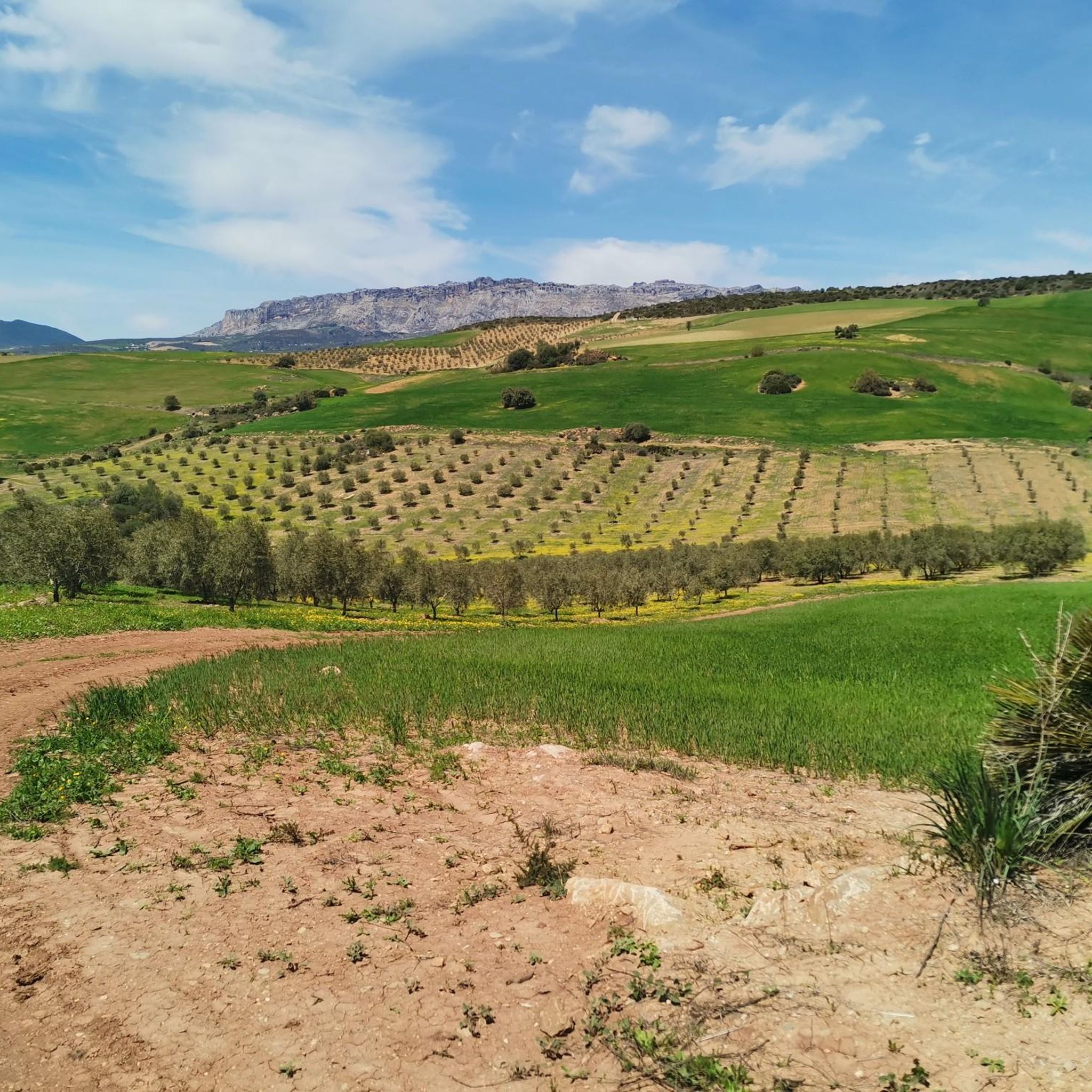
Mountain biking around Almogía features a diverse landscape, characterized by rolling hills, river valleys, and historical paths like the Camino Mozárabe. The region offers varied terrain, from the flatter sections near the Guadalhorce River to more challenging climbs through the hills surrounding Almogía Village. These mountain bike trails provide opportunities to explore the natural environment and local scenery.
Best mountain bike trails around Almogía
- The most popular mountain bike trail is Guadalhorce River Footbridge – Guadalhorce Delta loop from Roquero…
Last updated: July 18, 2026
5.0
(1)
20
riders
47.7km
03:17
820m
820m
Moderate mountain bike ride. Good fitness required. Suitable for all skill levels.
4.5
(2)
12
riders
34.8km
03:04
710m
710m
Moderate mountain bike ride. Good fitness required. Suitable for all skill levels.

Sign up for free
11
riders
20.2km
02:10
630m
630m
Moderate mountain bike ride. Good fitness required. Suitable for all skill levels.
7
riders
63.0km
05:01
1,030m
1,030m
Hard mountain bike ride. Very good fitness required. Suitable for all skill levels.
5.0
(1)
3
riders
50.1km
04:55
1,310m
1,310m
Hard mountain bike ride. Very good fitness required. Advanced riding skills necessary. Some portions of the route may require you to push your bike.
Get access to more routes and recommendations from other explorers.
Sign up for free
Already have an account?
Our route recommendations are based on thousands of hikes, rides, and runs completed by other people on komoot.
Start today with a free account
Your next adventure awaits.
Login or Signup

Tips from the Community

Beautiful viewpoint, but with a sharp bend, be careful.
0
0

The descent is worthwhile, but technically feasible!
0
0
The roads through El Torcal are barely passable from the west side!
0
0

The Mirador viewpoint in Villanueva de la Concepción offers a sweeping panoramic view of the surrounding hills at the foot of the El Torcal Natural Park. From here, you can gaze across rolling hills, olive and almond groves, and the expansive valley that stretches below the village. Striking rock formations rise in the background, while the village itself is nestled picturesquely into the landscape. The viewpoint is part of the romantic "10 steps to love" route and represents the section "Dream me and I'll dream about you." The spot is particularly enchanting at sunset, when the light bathes the hills in warm hues, creating a tranquil, almost poetic atmosphere. The Mirador invites you to pause, take photographs, and simply enjoy nature – an ideal place to experience the charm of Andalusia and the scenic beauty surrounding Villanueva de la Concepción.
2
0
The Puente del Horcajo in Villanueva de la Concepción is a historic 18th-century stone bridge that formed part of the Royal Road of Carlos III. It was built between 1787 and 1789 to carry traffic over the Horcajo stream gorge and provide a safe connection between Antequera and the newly established settlements at the foot of the Torcal de Antequera. Its construction was part of the major infrastructure project of King Charles III, who aimed to modernize the roads of Andalusia and promote trade between Madrid and the southern Spanish ports. The bridge was built under the direction of the engineer Carlos Lemaur, one of the most important master builders of the time. It is made of local limestone and features typical late 18th-century construction, with robust rounded arches that blend harmoniously into the landscape. The Puente del Horcajo is a striking example of the engineering prowess and the Enlightenment spirit of the era of Charles III, which combined technology, functionality, and aesthetics. Originally, it served as an important crossing point for traders, travelers, and stagecoaches on the route between Madrid, Córdoba, and Málaga. Today, it is a listed monument and part of the Mozarabic Way of Santiago, which intersects the historic Camino Real at this point. The bridge commemorates a time when Spain began to grow together through modern transport routes and also stands as a silent witness to the history of Villanueva de la Concepción and the Torcal region.
0
0
Villanueva de la Concepción is a small Andalusian municipality at the foot of the El Torcal limestone formations, making it an ideal base for cycling. The routes lead through olive groves, rolling hills, and impressive natural landscapes, offering mesmerizing views of the surrounding area. The town itself, with its whitewashed houses, narrow streets, and central church, invites you to take a short break before continuing on quiet country roads and paths through the region. For cyclists, Villanueva de la Concepción is an ideal starting point for actively exploring the natural beauty and distinctive Andalusian landscape.
2
0

A viewpoint with an information panel to recognize what we are seeing, deserves a brief stop and of course a photograph
0
0
A pond located very close to the Jarapalos fountain, used in hot weather to cool off
0
0
Frequently Asked Questions
How many mountain bike trails are available around Almogía?
There are over 150 mountain bike trails around Almogía, offering a wide range of options for different skill levels. This includes 11 easy routes, 77 moderate routes, and 68 difficult routes.
Are there easy or family-friendly mountain bike trails in Almogía?
Yes, Almogía offers several easy mountain bike trails suitable for beginners or families. One such route is the Club Guadalhorce Golf – Guadalhorce River Crossing loop from Roquero, which is 18.9 miles (30.4 km) long with minimal elevation gain, following the Guadalhorce River.
What kind of terrain can I expect on mountain bike trails in Almogía?
Mountain biking around Almogía features a diverse landscape. You'll encounter rolling hills, river valleys, and historical paths like the Camino Mozárabe. The terrain varies from flatter sections near the Guadalhorce River to more challenging climbs through the hills surrounding Almogía Village.
Are there any circular mountain bike routes in Almogía?
Yes, many of the mountain bike trails in Almogía are circular. For example, the Guadalhorce River Footbridge – Guadalhorce Delta loop from Roquero is a popular 17.8-mile (28.6 km) moderate loop that explores the river delta. Another option is the Almogía Village – Camino Mozárabe loop from Puerto de la Torre, a longer 29.6-mile (47.6 km) route through varied terrain.
What do other mountain bikers enjoy most about Almogía?
The mountain bike trails in Almogía are highly rated by the komoot community, with an average score of 4.3 stars from over 360 reviews. Reviewers often praise the varied terrain, from riverside paths to challenging climbs, and the opportunities to explore the natural environment and local scenery.
What are some of the longer mountain bike trails in the Almogía area?
For those looking for longer rides, the Almogía Village – Camino Mozárabe loop from Puerto de la Torre is a substantial 29.6-mile (47.6 km) trail. Another option is the Los Tomillares – El Tomillar Reservoir loop from Campanillas, which covers 25.5 miles (41 km).
Are there any viewpoints or natural attractions along the mountain bike trails?
Yes, the region offers several natural attractions and viewpoints. While riding, you might encounter highlights such as the Boar Viewpoint or the Repeater viewpoint, offering scenic vistas of the landscape. The area is also close to larger natural monuments like the Montes de Málaga Natural Park.
What is the best season for mountain biking in Almogía?
Almogía's climate, typical of Andalusia, generally allows for mountain biking year-round. Spring and autumn offer pleasant temperatures, making them ideal. Winter can also be a good time, with cooler weather suitable for longer rides, while summer might be very hot, especially during midday.
Are there any advanced mountain biking trails for experienced riders?
Yes, Almogía has 68 difficult mountain bike routes for experienced riders seeking a challenge. These trails often feature more significant elevation changes and technical sections through the rolling hills surrounding the village.
What are some notable landmarks or points of interest near the mountain bike routes?
Beyond the trails, you can explore landmarks such as the Queen's Fountain. The region also features impressive natural formations like The Torcal of Antequera and The Cathedrals of El Torcal, which are within reach for a combined outdoor experience.
Can I find mountain bike trails that follow historical paths?
Yes, some mountain bike trails in Almogía incorporate historical paths. The Almogía Village – Camino Mozárabe loop from Puerto de la Torre is a prime example, leading through varied terrain including sections of the ancient Camino Mozárabe.
Most popular attractions around Almogía

Get inspired with the komoot mobile app


Explore more
Browse the best MTB trails in other regions.
