The best running trails around Vega De San Mateo
4.7
(47)
2,331
runners
12
runs
Jogging around Vega De San Mateo offers diverse landscapes in the central mountains of Gran Canaria. The region is characterized by pine forests, green mountains, and varied terrain, situated at an altitude of 800 meters. Numerous trails wind through its valleys and hills, providing options for different fitness levels. Nearly half of the municipality's land lies within a protected mountain peak area, ensuring a natural backdrop for running.
Best jogging routes around Vega De San Mateo
- The most popular jogging…
Last updated: July 18, 2026
5.0
(1)
62
runners
24.3km
03:30
1,230m
1,230m
Hard run. Very good fitness required. Sure-footedness, sturdy shoes and alpine experience required.
5.0
(3)
21
runners
16.6km
02:19
670m
670m
Hard run. Very good fitness required. Sure-footedness, sturdy shoes and alpine experience required.

Sign up for free
8
runners
7.09km
01:06
390m
400m
Hard run. Very good fitness required. Sure-footedness, sturdy shoes and alpine experience required.
8
runners
25.1km
03:35
1,310m
1,310m
Hard run. Very good fitness required. Sure-footedness, sturdy shoes and alpine experience required.
7
runners
Moderate run. Good fitness required. Mostly paved surfaces. Suitable for all skill levels.
Get access to more routes and recommendations from other explorers.
Sign up for free
Already have an account?
Our route recommendations are based on thousands of hikes, rides, and runs completed by other people on komoot.
Start today with a free account
Your next adventure awaits.
Login or Signup


Tips from the Community

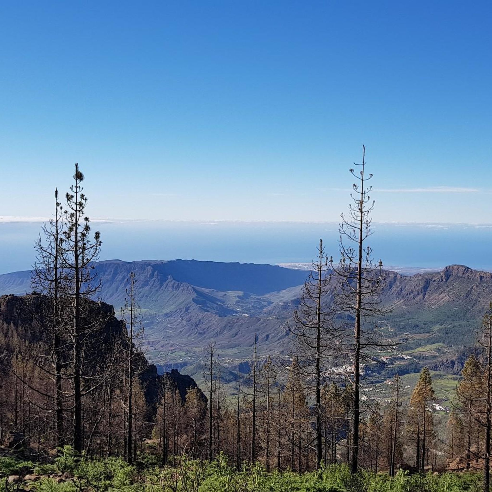
In a magnificent location in the middle of pine forests, you can choose here to take the upper or lower hiking trail to climb to Pico de las Nieves.
0
0

Nice large parking lot. Currently, a kiosk also seems to be being built there.
1
0
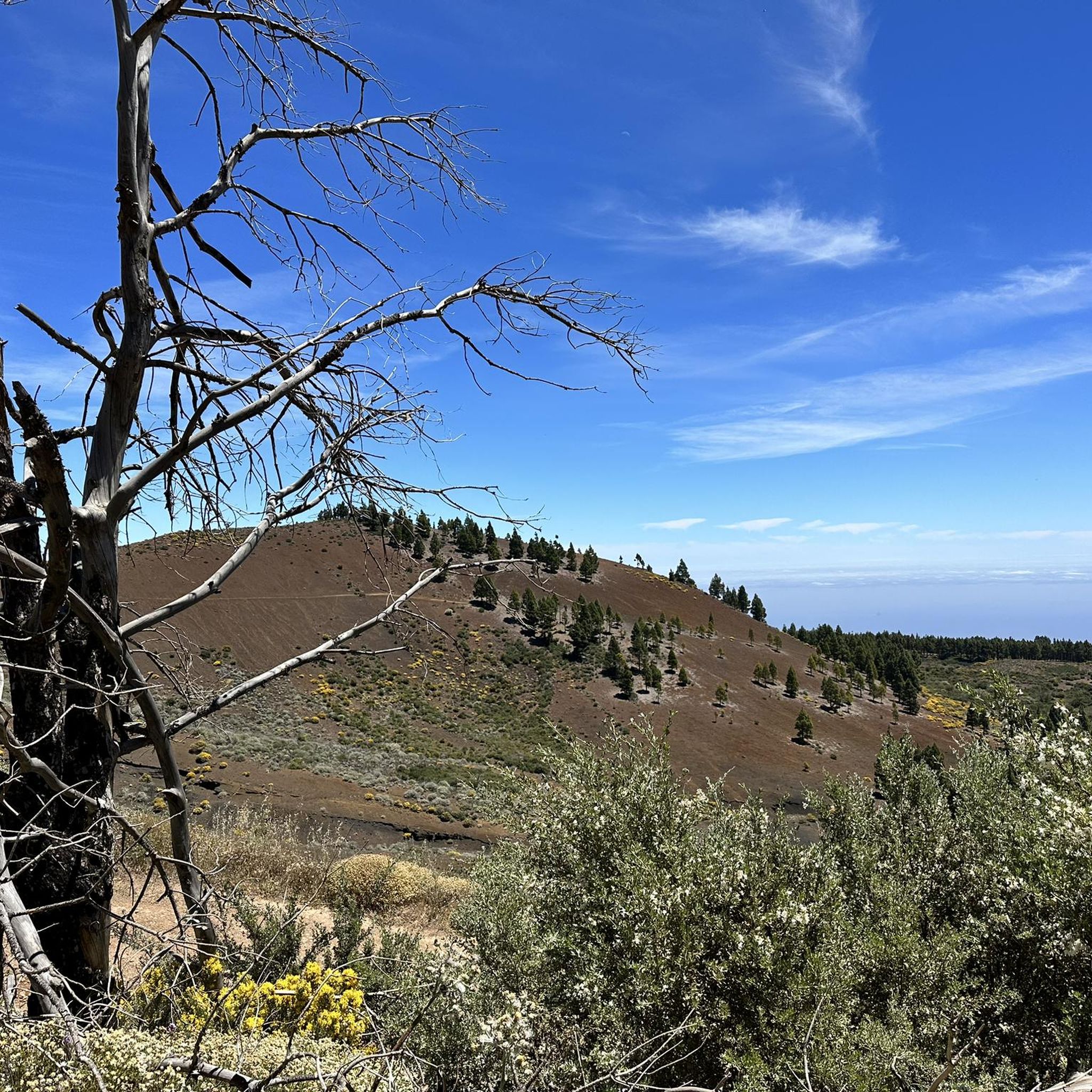
In sunshine, you can smell the spicy scent of the pines.
0
0

Spacious parking lot. Ideal starting point for a hike to Pico de las Nieves.
1
0
Morro de la Agujereada, at 1956 meters above sea level, is the highest mountain on the Canary Island of Gran Canaria.
1
0
The unmistakable white radar dome is used for air traffic control and is one of the island's most famous landmarks.
0
0

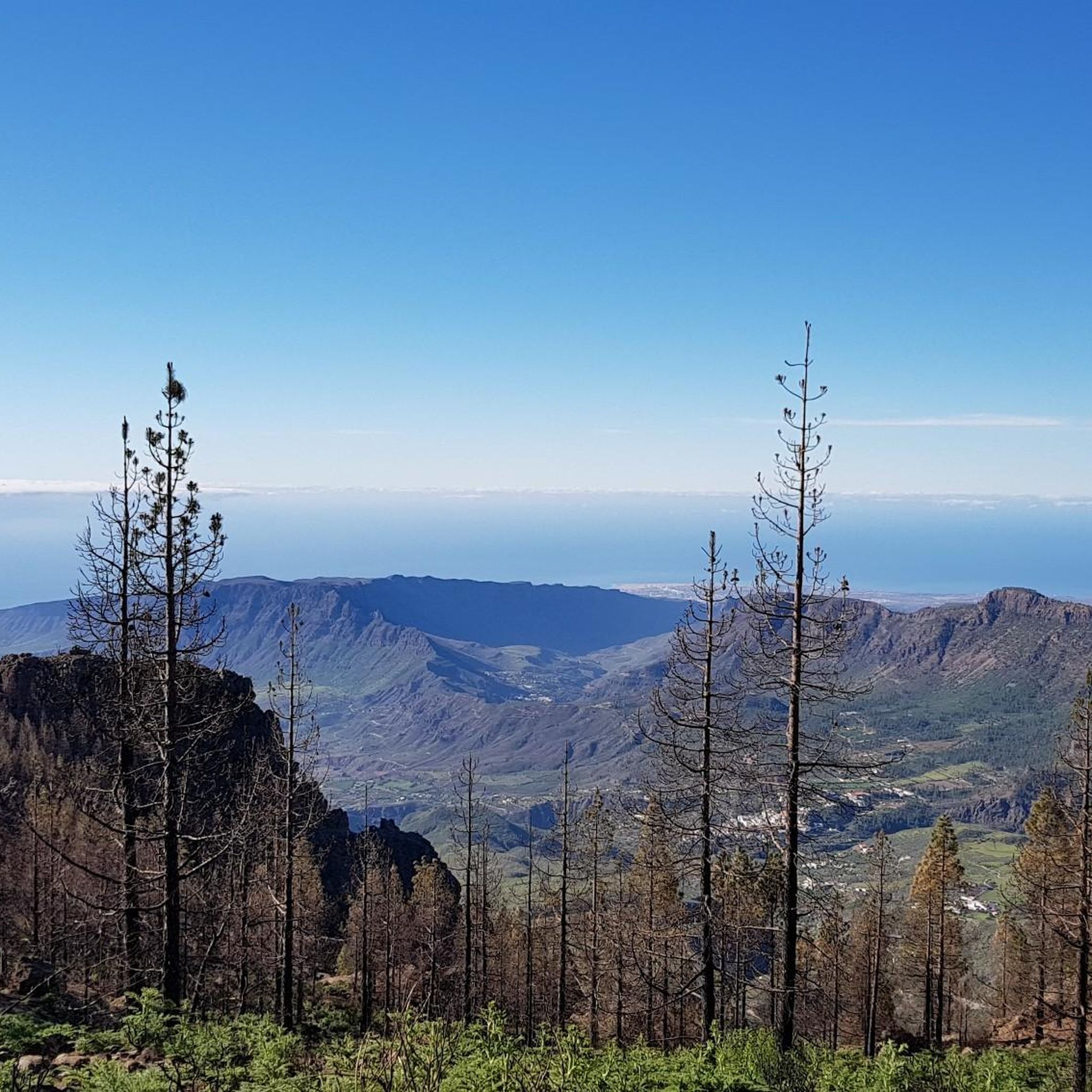
Very beautiful landscape, but analyze the weather carefully before leaving
2
0
Frequently Asked Questions
What kind of terrain can I expect on running routes in Vega de San Mateo?
Vega de San Mateo offers a diverse range of terrain for runners. You'll find paths winding through pine forests and green mountains, with options from accessible, mostly paved trails to more challenging mountain paths featuring significant elevation changes. The region is situated at an altitude of 800 meters, providing varied landscapes.
Are there running routes suitable for beginners or those looking for an easier run?
While many routes in Vega de San Mateo are moderate to difficult, there are options for less experienced runners. For example, the View of Roque Nublo – View of Roque Nublo and Teide loop from Llanos de Ana Lopez is a moderate 7.6 km path, and the Pasteria San Mateo – San Mateo loop from Vega de San Mateo is another moderate 7.3 km option, both offering less extreme challenges than the difficult routes.
What are some notable landmarks or viewpoints I can see while jogging in the area?
Many running routes offer breathtaking views of iconic landmarks. You can expect to see the majestic Roque Nublo, a basalt monolith and symbol of Gran Canaria. On clear days, some routes even provide vistas of Mount Teide. The Pico de las Nieves summit, the highest point of Gran Canaria, also offers spectacular panoramic views. Other scenic spots include Hoya del Gamonal and Roque Saucillo.
Are there any circular running routes in Vega de San Mateo?
Yes, several popular running routes in Vega de San Mateo are circular, allowing you to start and end in the same location. Examples include the challenging View of Roque Bentayga loop from Vega de San Mateo, the moderate View of Roque Nublo – View of Roque Nublo and Teide loop from Llanos de Ana Lopez, and the Degollada de los Molinos – Mirador Degoliada Becerra loop from Cruz De Tejeda (Gc15).
What do other runners say about the trails in Vega de San Mateo?
The running routes in Vega de San Mateo are highly regarded by the komoot community, boasting an average score of 4.6 stars from over 39 reviews. More than 2330 runners have used komoot to explore the varied terrain, often praising the stunning natural beauty, diverse landscapes, and the challenge offered by the mountain trails.
Are there any running routes that are suitable for families?
While specific 'family-friendly' routes are not explicitly detailed as easy, the moderate routes like the View of Roque Nublo – View of Roque Nublo and Teide loop from Llanos de Ana Lopez (7.6 km) or the Pasteria San Mateo – San Mateo loop from Vega de San Mateo (7.3 km) could be suitable for active families with older children, depending on their fitness levels. These routes offer beautiful scenery without the extreme difficulty of some longer trails.
Can I bring my dog on the running trails in Vega de San Mateo?
Many trails in natural areas across Gran Canaria are generally dog-friendly, provided dogs are kept on a leash and owners clean up after them. Given that nearly half of Vega de San Mateo's land is within a protected mountain peak area, it's advisable to check local regulations for specific trails or protected zones to ensure compliance and respect for wildlife.
Is there public transport access to the trailheads in Vega de San Mateo?
Vega de San Mateo is a rural municipality, and while there are local bus services connecting to larger towns on Gran Canaria, direct public transport access to all trailheads might be limited. It's recommended to check local bus schedules (guaguas) for routes serving the main town of Vega de San Mateo or key starting points like Llanos de Ana López or Cruz de Tejeda, and plan accordingly.
Are there any permits required for running on trails in Vega de San Mateo?
Generally, permits are not required for recreational running on the established trails in Vega de San Mateo. However, as nearly half of the municipality lies within the Protected Mountain Peak Area (Paisaje Protegido de las Cumbres), it's always good practice to be aware of any specific regulations or restrictions that might apply to certain sensitive zones within protected areas, especially for larger groups or organized events.
What is the best time of year to go running in Vega de San Mateo?
Vega de San Mateo, situated at 800 meters altitude, offers pleasant conditions for running for much of the year. The central mountains of Gran Canaria can be cooler than the coast, making spring and autumn ideal with mild temperatures. Even in summer, the altitude can provide a welcome respite from coastal heat, though midday runs might still be warm. Winter can be cooler, and higher elevations like Pico de las Nieves might even see snow, so layering is advisable.
Are there any waterfalls or unique geological features to discover on the running routes?
Yes, the region boasts unique geological formations. You can find paths through areas like Barranco de los Cernícalos and the volcanic Caldera de los Marteles. The Bandama Volcano and its large caldera are also within reach, offering impressive crater views. While not explicitly on all running routes, a Small Waterfall is listed as a highlight in the broader area, adding to the natural beauty.
Where can I find parking for the running trails?
Many trailheads, especially for popular routes, typically have designated parking areas or roadside spots where runners can leave their vehicles. For routes starting from villages or recreational areas like Llanos de Ana López, you'll likely find more established parking. It's always a good idea to check the specific starting point of your chosen route for parking availability.
Most popular attractions around Vega De San Mateo

Get inspired with the komoot mobile app


Explore more
Browse the best Running Trails & Routes in other regions.
