The best road cycling routes around Vega De San Mateo
4.4
(130)
4,799
riders
73
rides
Road cycling routes around Vega De San Mateo are situated in the mountainous heart of Gran Canaria, offering diverse landscapes and challenging terrain. The region is characterized by significant elevation changes, leading to world-class climbs and dramatic scenery. Road cyclists encounter volcanic formations, lush pine forests, and open mountain views, with many routes naturally ascending towards the island's highest points.
Best road cycling routes around Vega De San Mateo
- The most popular road cycling route is View of Teror –…
Last updated: July 17, 2026
4.5
(36)
446
riders
63.8km
03:29
1,290m
1,290m
Hard road ride. Very good fitness required. Mostly well-paved surfaces and easy to ride.
4.8
(5)
130
riders
56.0km
04:39
2,520m
2,530m
Hard road ride. Very good fitness required. Mostly well-paved surfaces and easy to ride.

Sign up for free
5.0
(2)
122
riders
52.1km
03:21
1,540m
1,540m
Hard road ride. Very good fitness required. Mostly well-paved surfaces and easy to ride.
45
riders
99.6km
05:58
2,450m
2,460m
Hard road ride. Very good fitness required. Mostly well-paved surfaces and easy to ride.
34
riders
51.4km
03:00
1,230m
1,230m
Hard road ride. Very good fitness required. Mostly well-paved surfaces and easy to ride.
Get access to more routes and recommendations from other explorers.
Sign up for free
Already have an account?
Our route recommendations are based on thousands of hikes, rides, and runs completed by other people on komoot.
Start today with a free account
Your next adventure awaits.
Login or Signup
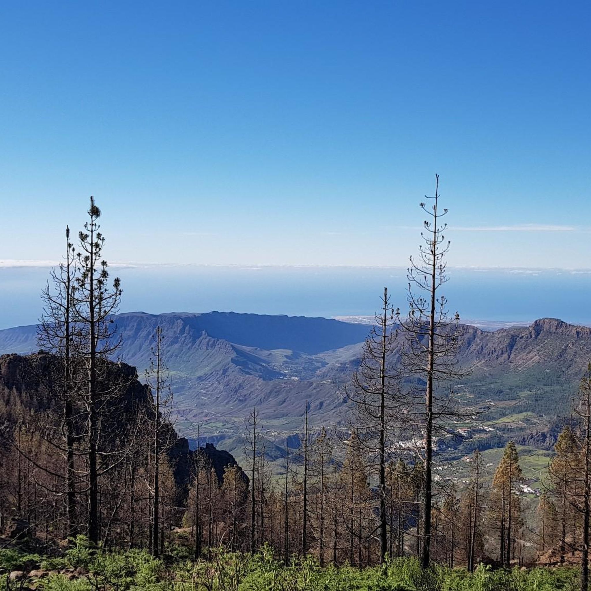
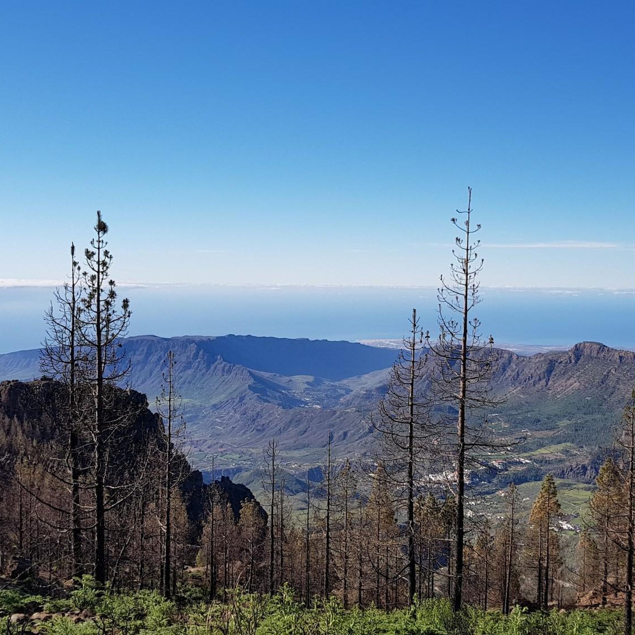

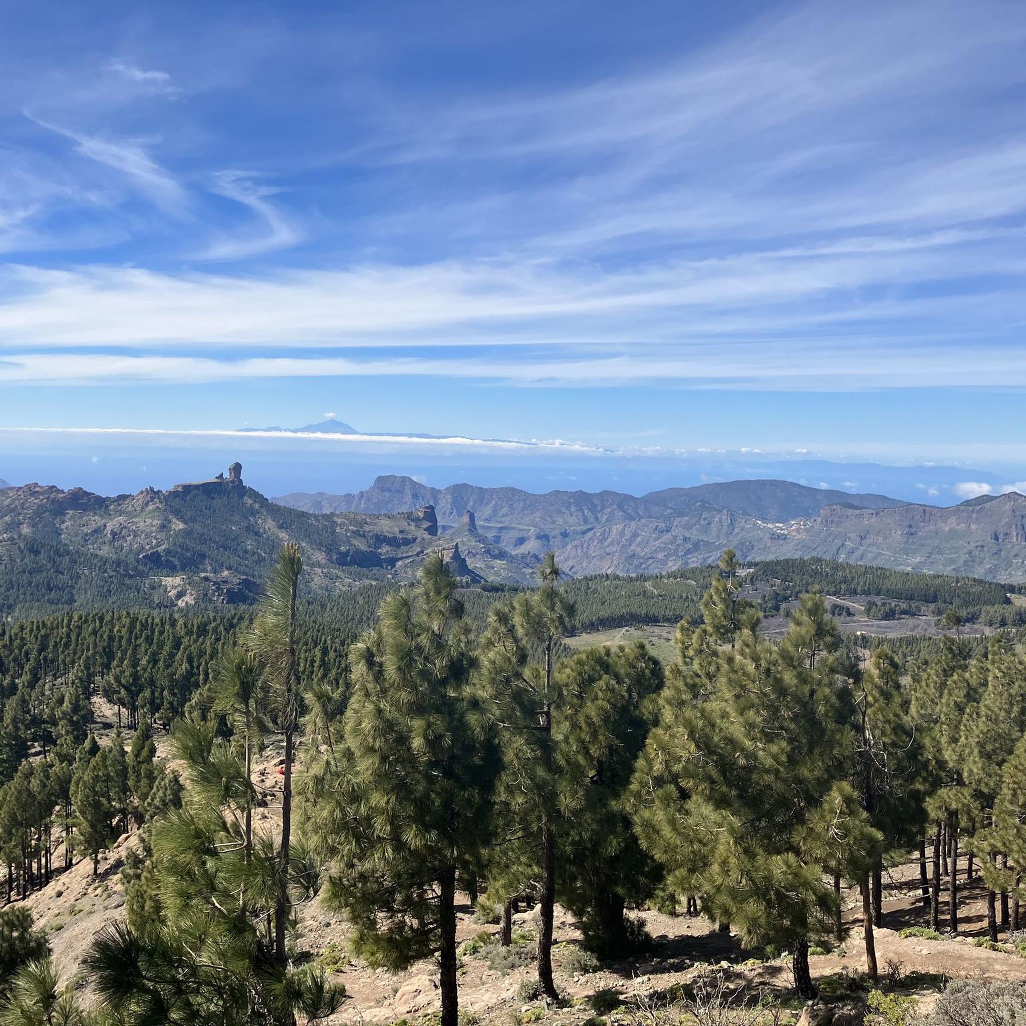

Tips from the Community

the route, of road the calzada, by the meleguinas, until santa brigida is easy, with little traffic bordering the guiniguada ravine and all its splendor
0
0

Currently closed. Located directly at the actual entrance from the GC-210, with a fence. As of the end of February 2026.
0
0

A brutal climb. I've done quite a few tours in the Pyrenees and Alps, but the ramps of the GC-606 are really on another level. I started from Puerto Rico and also included Pico de las Nieves. I got sick the day after the tour.
1
0

Anyone wishing to visit the market on Sunday should arrive by 8:00 a.m.
0
0

The entire route is freshly paved. A dream.
1
0

goes downhill with a gradient of around 12% on super asphalt (2025, March)
0
0
Said to be the highest point on Gran Canaria. Great view.
1
0

Beautiful, quiet, it smells wonderful, moderate gradient
1
0
Frequently Asked Questions
How many road cycling routes are available in Vega de San Mateo?
Vega de San Mateo offers a wide selection of road cycling routes, with over 70 different tours available for exploration. These routes cater to various skill levels, from moderate to very challenging climbs.
What makes Vega de San Mateo a good destination for road cyclists?
Vega de San Mateo is renowned as a 'mecca for road cycling' due to its world-class climbs, dramatic scenery, and consistent good weather year-round. Cyclists can experience diverse landscapes, from red cliffs and volcanic panoramas to lush pine forests, often with smooth tarmac and low traffic.
What kind of terrain can I expect on road cycling routes around Vega de San Mateo?
You can expect significant elevation changes, leading to challenging ascents and descents. Routes often feature volcanic formations, such as those found near the Bandama Nature Park, and lead through abundant pine forests and green mountains. Many roads naturally ascend towards the island's highest points, offering spectacular views.
Are there road cycling routes suitable for beginners in Vega de San Mateo?
While the region is known for its challenging climbs, there are routes suitable for different ability levels. Out of the over 70 routes, 37 are rated as moderate, and at least one is considered easy, making it possible for beginners to find suitable options. Some descents, like from Pico de las Nieves on the GC65, are noted for smooth tarmac and steady gradients, which can be suitable for beginner descenders.
What natural landmarks or viewpoints can I see along the road cycling routes?
Road cycling routes in Vega de San Mateo offer access to stunning natural landmarks. You can often see the iconic Cruz de Tejeda, a significant mountain pass, or enjoy views from the Degollada de la Cruz Grande Viewpoint. The highest point, Pico de las Nieves, provides awe-inspiring views of the island, including Roque Nublo, and on clear days, even Tenerife.
Are there any historical sites or recreational areas accessible by bike?
Yes, you can cycle past historical sites like the Pozos de Nieves (Snow Wells), where snow was once stored, surrounded by magnificent landscapes. Recreational areas such as Llanos de Ana López also provide well-equipped spaces for picnics and enjoying the outdoors, often accessible via scenic routes.
What is the best time of year for road cycling in Vega de San Mateo?
Vega de San Mateo benefits from a climate conducive to year-round enjoyment. The region is known for its consistent good weather, making it an excellent destination for road cycling throughout the year. However, the mountainous terrain means weather can change, so checking forecasts is always advisable.
Are there circular road cycling routes available in Vega de San Mateo?
Many of the road cycling routes in Vega de San Mateo are designed as loops, allowing you to start and finish in the same location. An example is the challenging San Bartolomé–Ayacata Road – View of Ayacata loop from Vega de San Mateo, which covers nearly 100 km and features significant elevation changes.
What do other cyclists say about the road cycling routes in Vega de San Mateo?
The road cycling routes in Vega de San Mateo are highly rated by the komoot community, with an average score of 4.6 stars from over 100 reviews. Cyclists often praise the challenging ascents, the dramatic scenery, and the diverse landscapes encountered, from volcanic formations to lush pine forests.
Where can I find parking for my car when starting a road cycling route?
While specific parking areas for cyclists are not detailed, Vega de San Mateo is a municipality with various villages and towns. You can typically find parking in the main village of Vega de San Mateo or other starting points like Tejeda or Lomo Carbonero, which are common departure points for many routes.
Is public transport an option for reaching cycling routes in Vega de San Mateo?
Public transport options exist within Gran Canaria, connecting various towns and villages. While direct routes to specific trailheads might be limited, you can often use local bus services to reach Vega de San Mateo or nearby towns, from where you can start your cycling adventure. It's advisable to check local bus schedules and policies regarding bicycles.
Are there places to stop for refreshments or food along the routes?
Yes, many road cycling routes in Vega de San Mateo pass through or near villages and towns like Tejeda and Artenara, where you can find cafes, restaurants, and small shops to refuel. The Cruz de Tejeda Restaurant – View of Gran Canaria Mountains loop from Lomo Carbonero, for instance, suggests a stop at Cruz de Tejeda, which is known for its amenities.
Most popular attractions around Vega De San Mateo

Get inspired with the komoot mobile app


Explore more
Browse the best Road cycling routes in other regions.
