The best running trails around Huéneja
66
runners
10
runs
Jogging routes around Huéneja Spain offer diverse landscapes within the Granada mountains, bordering the Sierra Nevada Natural Park. The region features varied terrain, including a notable gorge, steep slopes, and deep ravines, providing elevation changes for runners. Forests, such as the "Los Castaños" recreational area, offer shaded paths, while the Izfalada river and reservoir present opportunities for routes along water bodies. This area provides a natural setting for outdoor activities, including running.
Best jogging routes around Huéneja
- The most popular…
Last updated: October 13, 2026
13
runners
16.7km
03:33
650m
650m
Hard run. Very good fitness required. Sure-footedness, sturdy shoes and alpine experience required.
4
runners
12.3km
01:32
360m
360m
Hard run. Very good fitness required. Mostly accessible paths. Some sure footedness required.

12.9km
01:48
570m
590m
Hard run. Very good fitness required. Sure-footedness, sturdy shoes and alpine experience required.
20
runners
12.6km
01:43
380m
380m
Hard run. Very good fitness required. Mostly paved surfaces. Suitable for all skill levels.
16
runners
14.2km
01:45
310m
310m
Hard run. Very good fitness required. Mostly paved surfaces. Suitable for all skill levels.
Get access to more routes and recommendations from other explorers.
Already have an account?
Our route recommendations are based on thousands of hikes, rides, and runs completed by other people on komoot.
Start today with a free account
Your next adventure awaits.
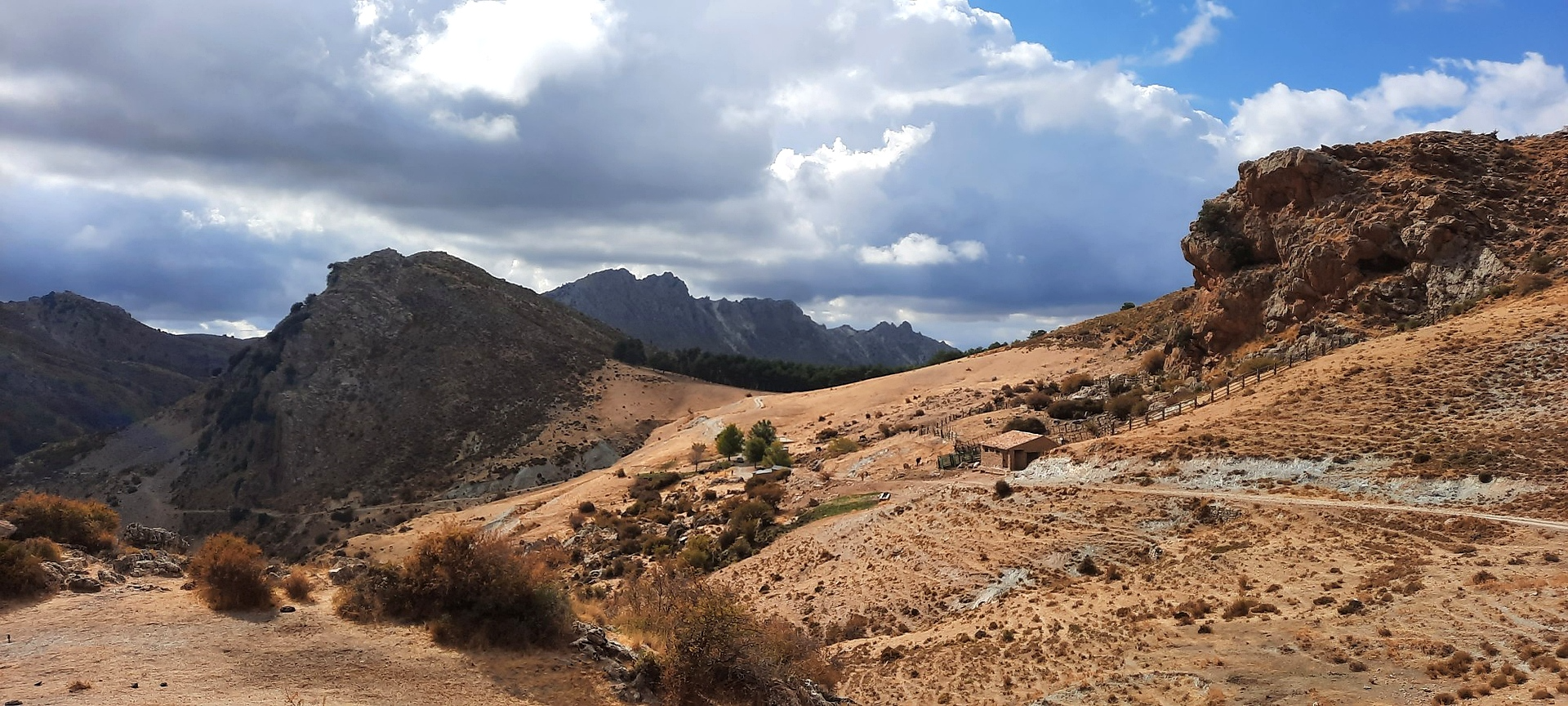
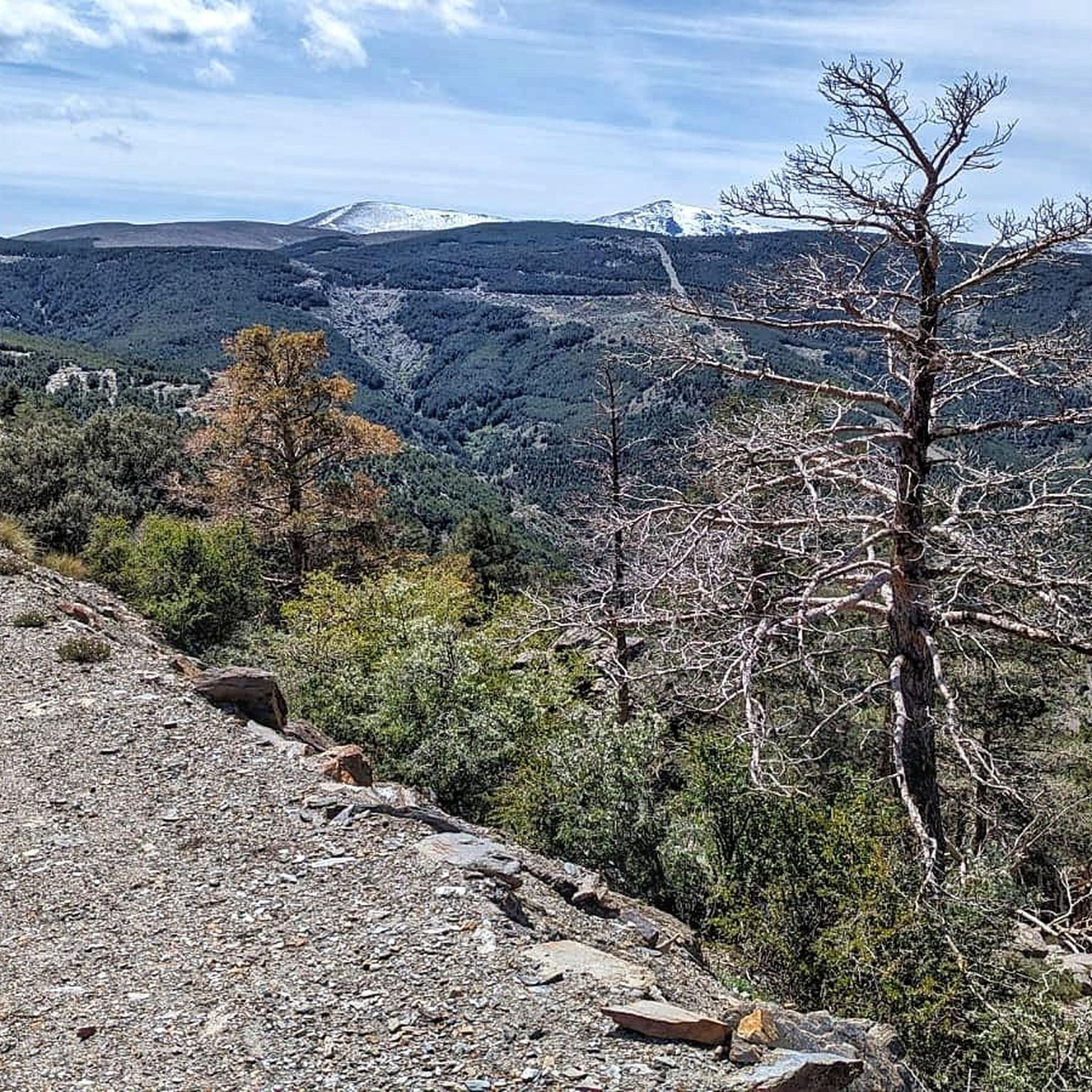
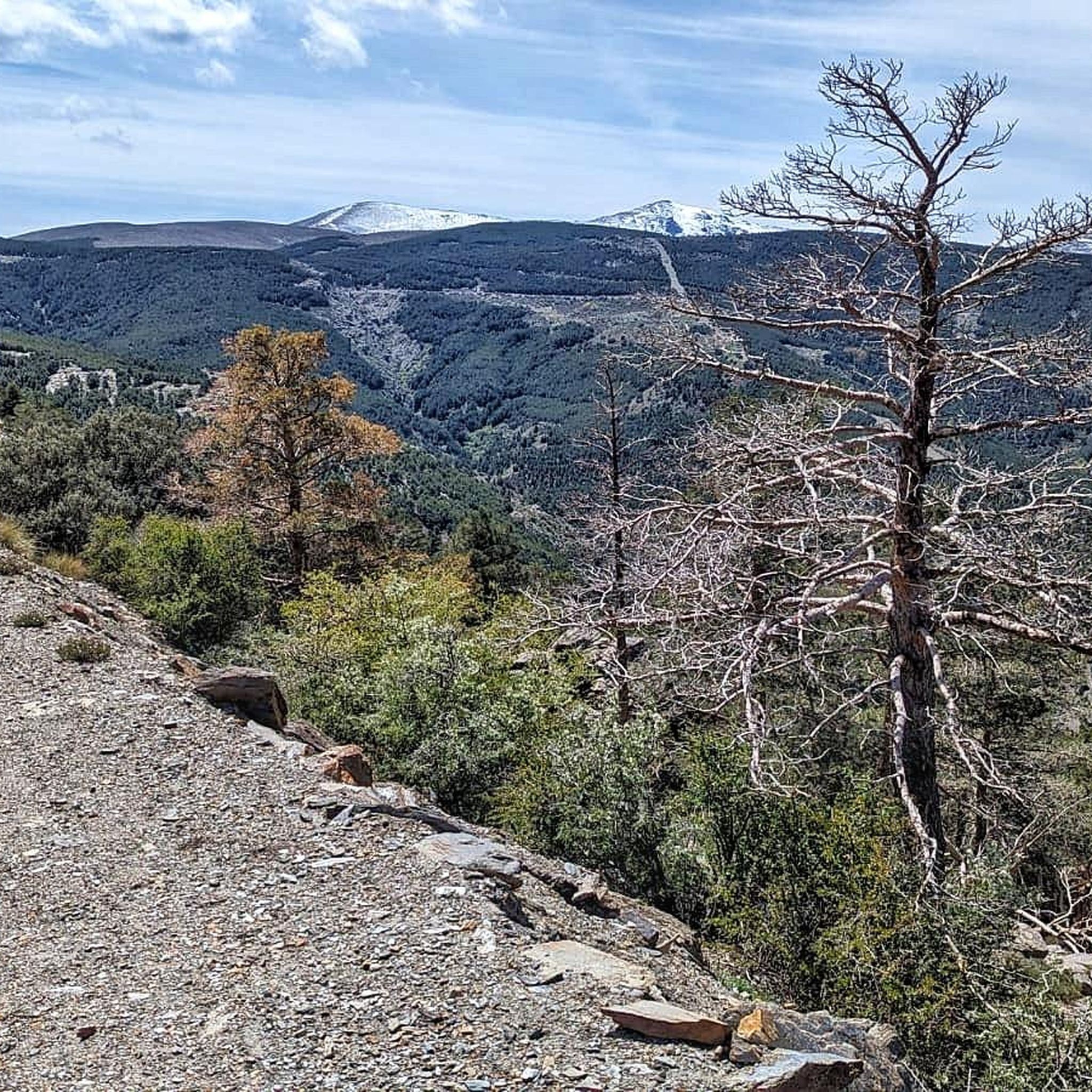
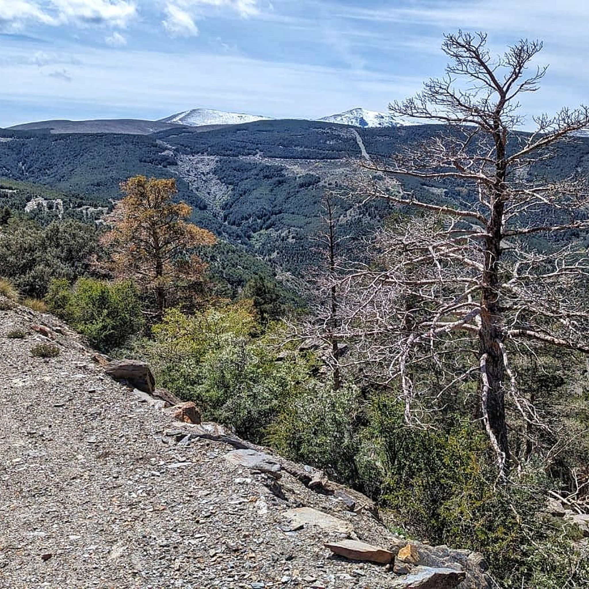
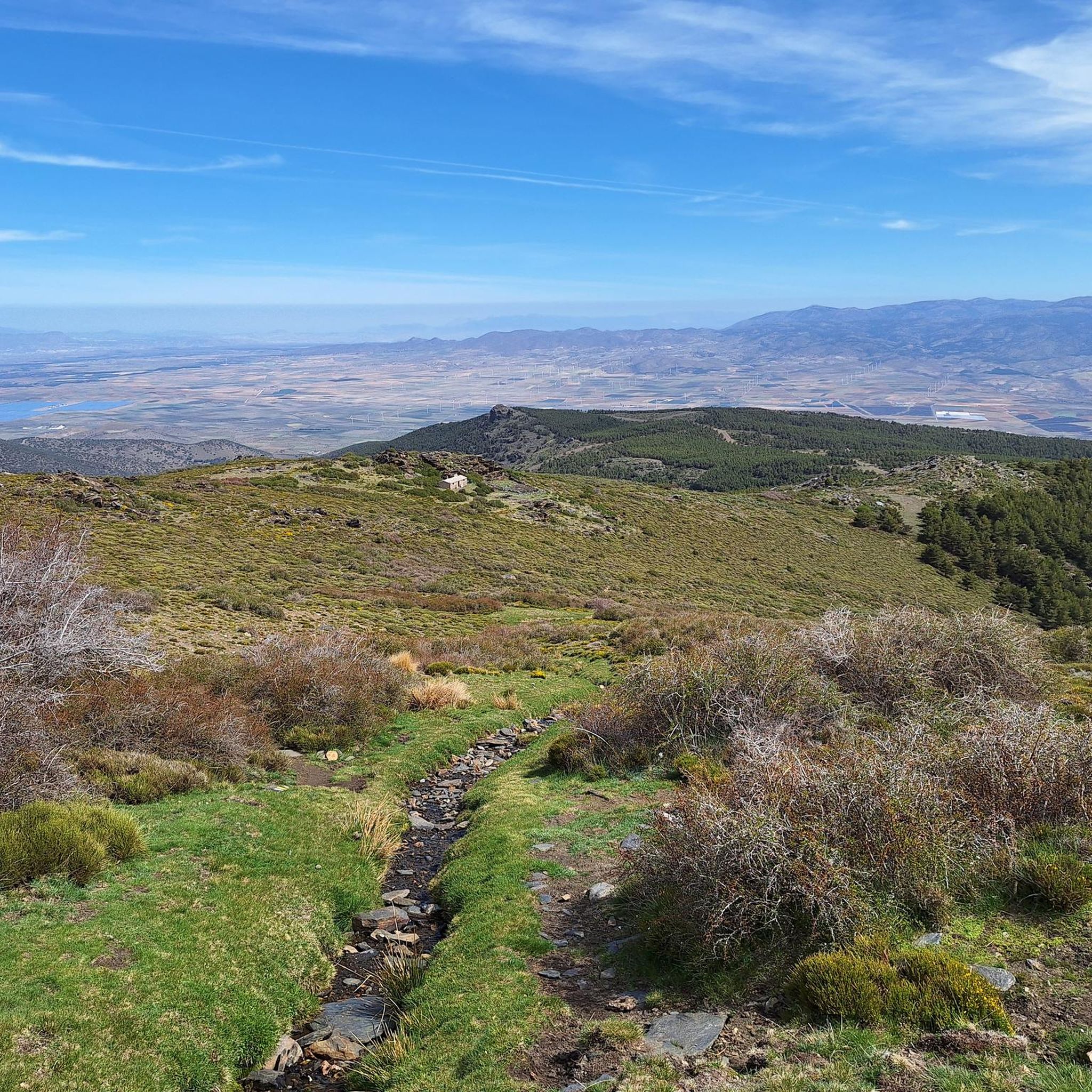
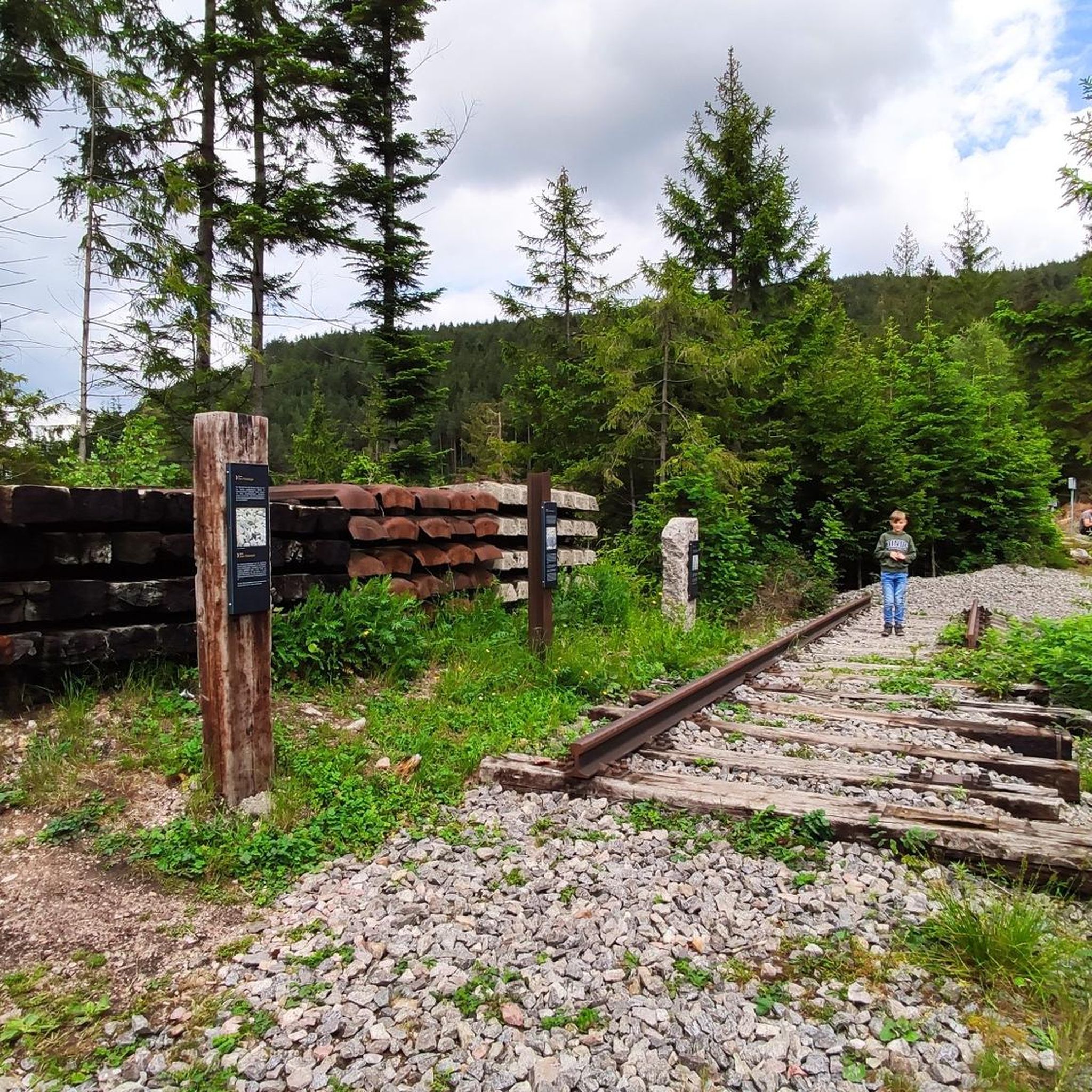
Other adventures around Huéneja

Tips from the Community

a wonder to behold with the Sierra Nevada in the background
0
1

Very nice hike with a great panoramic view. Finally, a detour to the castle of La Calahorra, which is unfortunately only open on Wednesdays. Nevertheless, the beautiful view is worth it!
0
1

With an altitude of 1,258 meters above sea level, Bayárcal is the highest town in the province of Almería. Its beautiful traditional complex is located in the foothills of the Sierra Nevada National Park.
0
0

First great view just above the Puerto de la Ragua car park. Here you can see the short, super nice tour to the Chullo summit in the video. https://youtu.be/DxUrMbFJmow
4
0
Mega beautiful view of the Sierra Nevada and a great short tour from the parking lot. Here in the video you can marvel at the whole tour in short: https://youtu.be/DxUrMbFJmow
1
0

Place where the Benéjar river is born, perfect for taking a break to enjoy the landscape and, in very hot seasons, take the opportunity to cool off.
2
1
Nice path with a moderate slope that allows us to enjoy the small waterfalls of the Benéjar river.
3
0

The highest town in Almería, on the edge of the Sierra Nevada National Park and also on the border of the province of Granada. It was repopulated with Navarro settlers after the expulsion of the Moors, and it is for this reason that its patron saint is San Francisco Javier.
2
1
Frequently Asked Questions
How many running routes are available around Huéneja?
Komoot features 7 diverse running routes around Huéneja. These trails offer a range of experiences, from challenging mountain runs to scenic paths along river valleys and through forests.
What kind of terrain and difficulty can I expect on running trails in Huéneja?
The running trails around Huéneja are primarily characterized by mountainous terrain, steep slopes, and deep ravines, offering significant elevation changes. While there are no easy routes listed, you'll find 2 moderate and 5 difficult trails, providing challenging options for experienced runners. Routes like Sierra Nevada National Park – trail running to El Chullo y Lagunilla Seca from La Ragua offer high-elevation running within the Sierra Nevada National Park.
Are there any notable landmarks or scenic viewpoints along the jogging routes?
Yes, the region offers breathtaking panoramic views from higher elevations, including vistas of the Sierras de Gádor, Contraviesa, and Lújar, as well as the Mediterranean Sea. Some routes pass by historical elements like the Castillo de La Calahorra, and natural features such as the Chullo Peak and La Ragua Pass.
Can I find routes that feature water bodies like rivers or reservoirs?
Absolutely. The presence of the Izfalada river and the Embalse de Huéneja-Isfalada offers scenic routes along water bodies. For example, the Río Benéjar y Castillo de la Caba – circular trail running from Aldeire explores river paths, and the Benéjar River – Fountain in Aldeire loop from La Calahorra also follows the Benéjar River.
Are there any forested areas for shaded runs in Huéneja?
Yes, the region boasts beautiful forested areas. The "Los Castaños" recreational area, known for its century-old chestnut trees, provides shaded and picturesque routes. You can also explore the Abrucena Holm Oak Forest for a refreshing run.
Are there any circular running routes available?
Yes, several circular running routes are available. A popular option is La Alpujarra – trail running circular between Bayárcal and Laroles, which takes you through mountainous terrain. Another is the Río Benéjar y Castillo de la Caba – circular trail running from Aldeire, which combines river paths with historical sites.
What do other runners enjoy the most about jogging in Huéneja?
More than 50 runners have used komoot to explore Huéneja's varied terrain. They often praise the stunning natural scenery, the challenging climbs, and the immersive experience within the Sierra Nevada Natural Park. The diverse landscapes, from gorges to forests, provide a unique backdrop for trail running.
Are there any easy or beginner-friendly jogging routes in Huéneja?
The running routes around Huéneja are generally considered moderate to difficult, with significant elevation changes due to the mountainous terrain. There are currently no routes classified as 'easy' in this guide, making it more suitable for runners looking for a challenge.
What is the best time of year for running in Huéneja?
Huéneja's location within the Sierra Nevada means conditions can vary. While the region offers year-round opportunities, spring and autumn generally provide milder temperatures and vibrant landscapes, ideal for running. Summer can be hot, especially at lower elevations, so early morning or late evening runs are recommended. Winter offers a unique experience, particularly at higher altitudes, but requires appropriate gear for colder conditions.
Are there any routes that offer a mix of natural beauty and historical interest?
Yes, the region combines natural beauty with historical richness. The Río Benéjar y Castillo de la Caba – circular trail running from Aldeire is a great example, allowing you to explore river paths and pass by historical castle ruins. The village itself also has historical elements like Arab baths and an Arabic tower that can be explored on foot.
Can I find routes that are specifically within the Sierra Nevada National Park?
Yes, a significant portion of the municipality lies within the protected Sierra Nevada, offering extensive trails. The Sierra Nevada National Park – trail running to El Chullo y Lagunilla Seca from La Ragua is a prime example, providing high-elevation running within the park's stunning landscapes.
Most popular attractions around Huéneja

Get inspired with the komoot mobile app


Explore more
Browse the best Running Trails & Routes in other regions.
