The best MTB trails around Huéneja
4.9
(9)
227
riders
31
rides
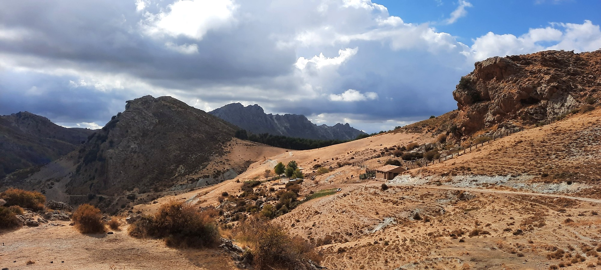
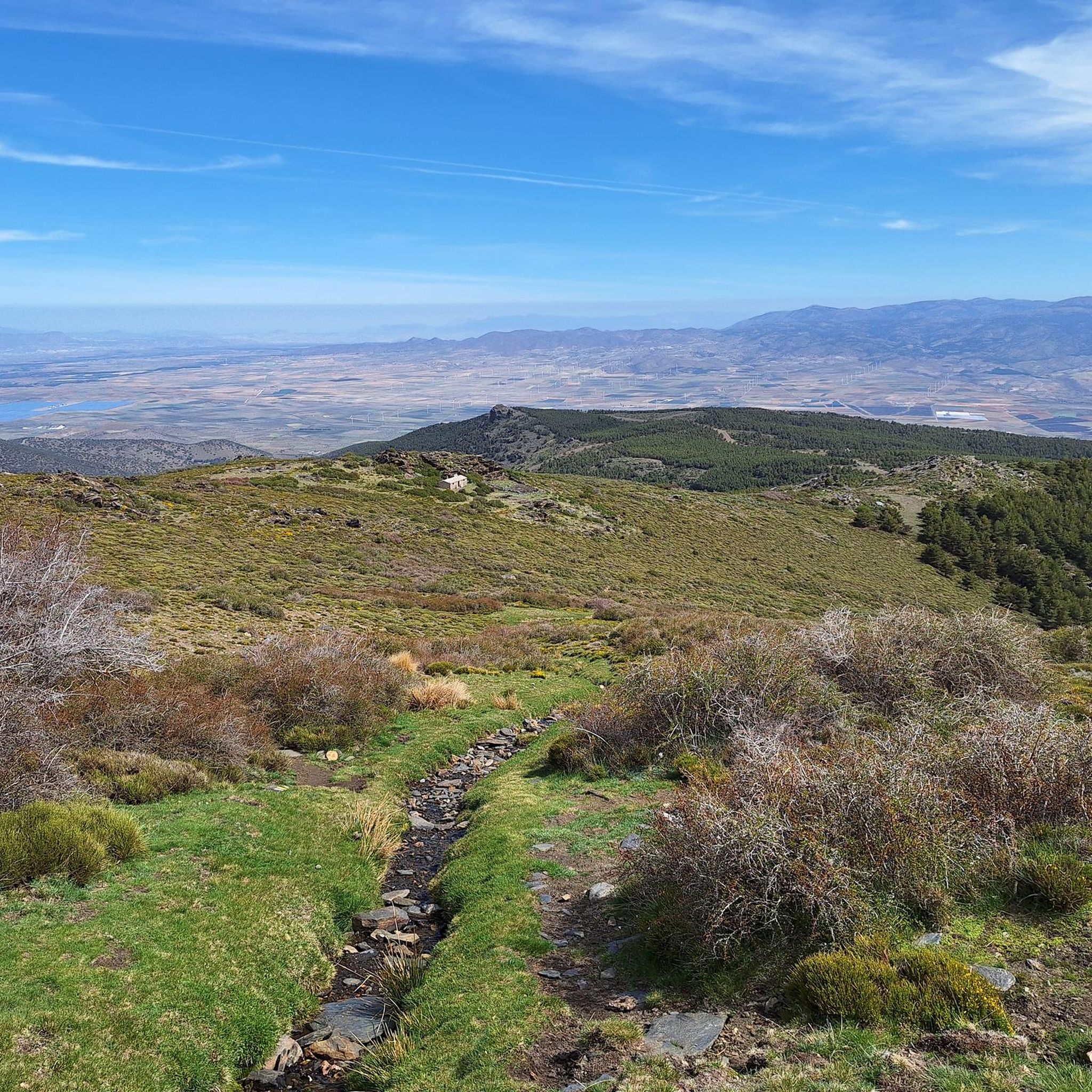
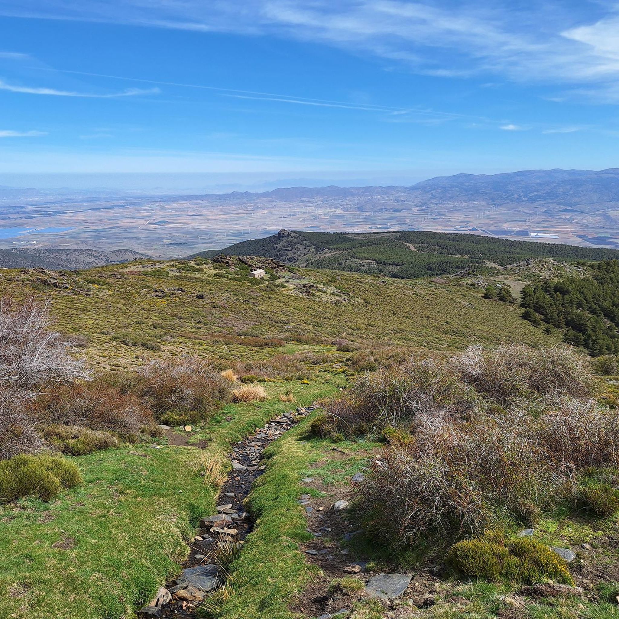
Mountain biking around Huéneja offers diverse terrain within the Granada mountains, with a significant portion of the municipality located in the Sierra Nevada National and Natural Park. The region features a rugged topography with deep gorges, an area known as the "Sened," and ancient chestnut groves. At an elevation of 1158 meters, Huéneja provides varied ascents and descents, alongside natural features like the río Izfalada and the Embalse de Huéneja-Isfalada reservoir.
Best mountain bike trails around Huéneja
- The most popular…
Last updated: October 7, 2026
6
riders
111km
11:18
2,630m
2,630m
Hard mountain bike ride. Very good fitness required. Suitable for all skill levels.
2
riders
24.3km
02:16
600m
600m
Moderate mountain bike ride. Good fitness required. Advanced riding skills necessary.

16
riders
43.7km
04:51
1,240m
1,240m
Hard mountain bike ride. Very good fitness required. Advanced riding skills necessary. Some portions of the route may require you to push your bike.
4.7
(3)
14
riders
46.0km
04:06
880m
880m
Moderate mountain bike ride. Good fitness required. Suitable for all skill levels.
9
riders
53.9km
05:04
830m
830m
Hard mountain bike ride. Very good fitness required. Suitable for all skill levels.
Get access to more routes and recommendations from other explorers.
Already have an account?
Our route recommendations are based on thousands of hikes, rides, and runs completed by other people on komoot.
Start today with a free account
Your next adventure awaits.
Other adventures around Huéneja

Tips from the Community

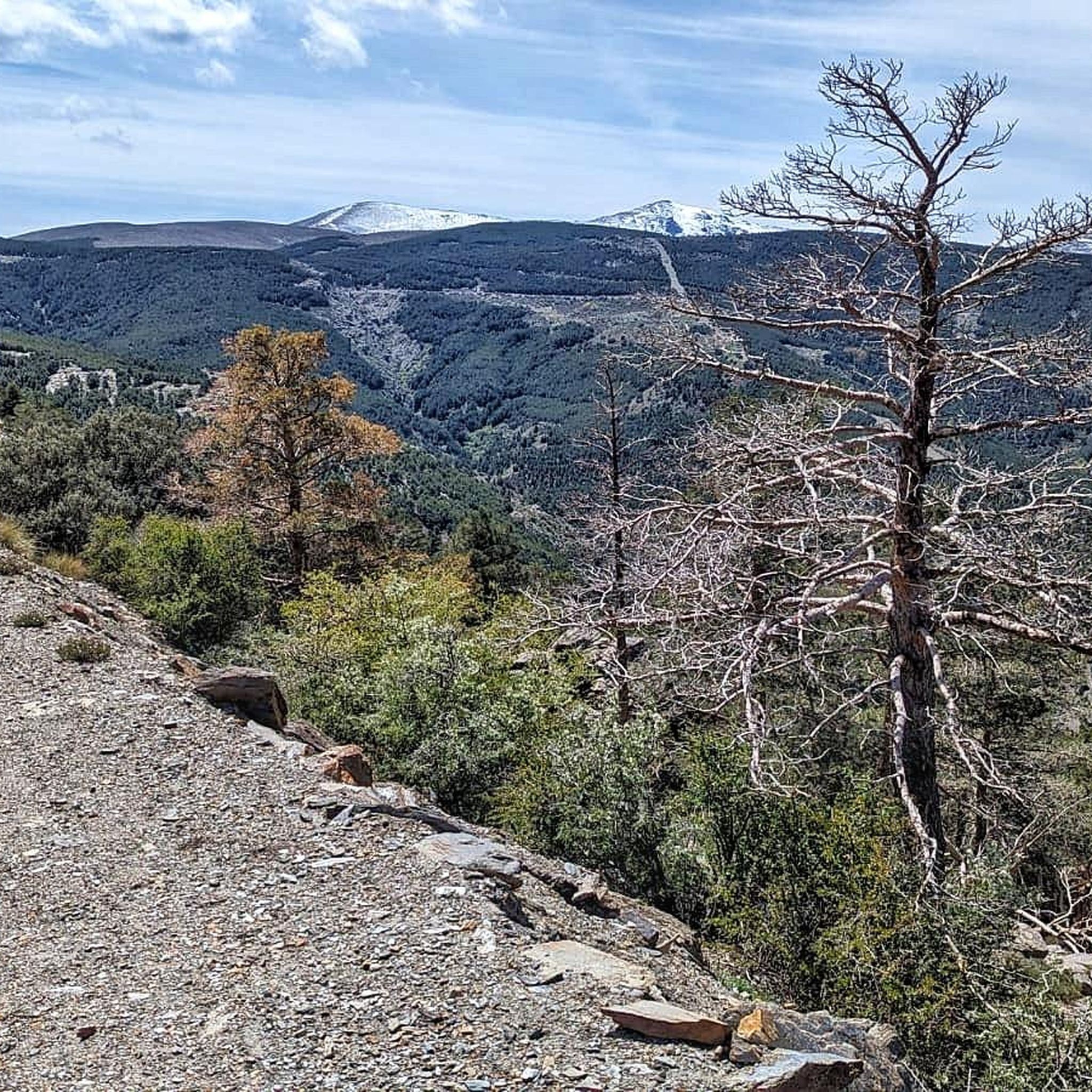
This area of Sierra Nevada is characterized by the extensive reforestation pine forests that dot its orography.
0
0
This viewpoint is located at an altitude of 1500 meters. From here you can see La Polarda (2253 m), Cerro del Rayo (2405 m), Cerro del Buitre (2464 m), Peña Horadada (2296 m), and La Cumbre (2492 m).
0
0
This recreational area has tables, drinking water, barbecue, camping area and bathrooms. It is eight km from the town of Abrucena.
0
0

Fiñana is a perfect base for hikers between the Sierra Nevada and Los Filabres, with easy access via the A-92 and the train station. In the upper town, you can walk along the Moorish route to the Alcazaba and the cistern, and visit the unique Almohad mosque converted into the Hermitage of Our Father Jesus of Nazareth, as well as the Church of the Annunciation. From the village, trails depart to the northern slopes of the Sierra Nevada and the Nacimiento River valley, with waterfalls and sweeping views. In summer, bring water and a hat; the steep slopes and streets require well-soled shoes.
1
0

The Puerto de la Ragua marks the border between the provinces of Granada and Almería. The Sierra Nevada stretches on both sides, with the 3000m peaks on the Granada side. The highest mountain in the province of Almería, El Chullo, is, however, easily accessible from the Puerto de la Ragua. The Puerto de la Ragua is just over 2000m.
0
0

Vulture shelter, beautiful views of the Sierra Nevada and the Marquesado and Ragua area, also on the Almeria coast, although the shelter is a little neglected. We should take a little more care of the bivouacs.
1
0

One of the few asphalt passes over 2,000m in the region. You just have to take it with you, even if it's not particularly "exciting" IMHO.
2
0

Beautiful view
0
0
Frequently Asked Questions
How many mountain bike trails are there around Huéneja?
There are over 25 mountain bike trails around Huéneja, offering a mix of moderate and difficult routes. The region is known for its challenging terrain within the Sierra Nevada National and Natural Park.
What kind of terrain can I expect on mountain bike trails in Huéneja?
Mountain biking in Huéneja features a diverse landscape, from high mountain terrain with dramatic ravines and gorges to ancient forests and pine groves. You'll encounter everything from rocky trails and scrubland to areas with unique 'badlands' geological formations, characteristic of the Granada Geopark.
Are there any circular mountain bike routes in the area?
Yes, there are several circular routes. A popular option is the Charches - circular route through the Sierra de Baza Natural Park, which is a moderate 36.8 km trail. Another is the difficult Aldeire Town Center – Castillo de La Calahorra loop, covering 65.4 km.
What are some notable landmarks or natural features to see while mountain biking near Huéneja?
The trails often pass through or near significant natural and historical sites. You might encounter the dramatic landscapes of the Sierra Nevada National Park, the unique geological formations of the Granada Geopark, or even historical sites like the Castillo de La Calahorra. The La Ragua Pass and Chullo Peak also offer stunning views.
Are there any long-distance mountain bike routes available?
Yes, for those seeking a significant challenge, the Transnevada Route 4/8 - walk through the Sierra Nevada National Park is a difficult trail spanning 110.6 km, traversing the Sierra Nevada with substantial elevation changes.
What do other mountain bikers say about the trails in Huéneja?
The mountain bike trails around Huéneja are highly rated by the komoot community, with an average score of 4.9 out of 5 stars. Riders often praise the varied terrain, the challenging ascents and descents, and the stunning natural beauty of the Sierra Nevada and Geopark landscapes.
Are there any moderate trails suitable for experienced riders looking for a less strenuous day?
Absolutely. A popular moderate option is the Transnevada Trail: Puerto de la Ragua - Stage 5 Loop. This 24.3 km route offers scenic views around Puerto de la Ragua without the extreme difficulty of some longer trails.
Can I find accommodation or facilities near the mountain bike trails?
Yes, the area offers various facilities. You can find mountain huts like La Ragua Mountain Hut or Gorillo Hostel. There's also La Fraguara Campsite for those looking for camping options.
What is the best time of year to mountain bike in Huéneja?
Given Huéneja's location within the Sierra Nevada, spring and autumn generally offer the most pleasant conditions for mountain biking, with milder temperatures. Summer can be hot, especially at lower altitudes, while higher elevations may experience snow and colder temperatures in winter.
Are there any trails that offer views of the Embalse de Huéneja-Isfalada reservoir?
Many routes in the Huéneja area traverse the local landscape, which includes the Izfalada River and the Embalse de Huéneja-Isfalada reservoir. While specific routes aren't listed as 'reservoir views', the general topography suggests that trails in the vicinity would offer glimpses of this natural feature.
What are the elevation changes like on the mountain bike trails in Huéneja?
Huéneja, situated at an elevation of 1158 meters and within the Sierra Nevada, features significant elevation changes. Trails can involve substantial ascents and descents, with some difficult routes like the Transnevada Route 4/8 accumulating over 2,600 meters of elevation gain.
Most popular attractions around Huéneja

Get inspired with the komoot mobile app


Explore more
Browse the best MTB trails in other regions.
