The best cycling routes around Valdelugueros
3.9
(10)
178
riders
29
rides
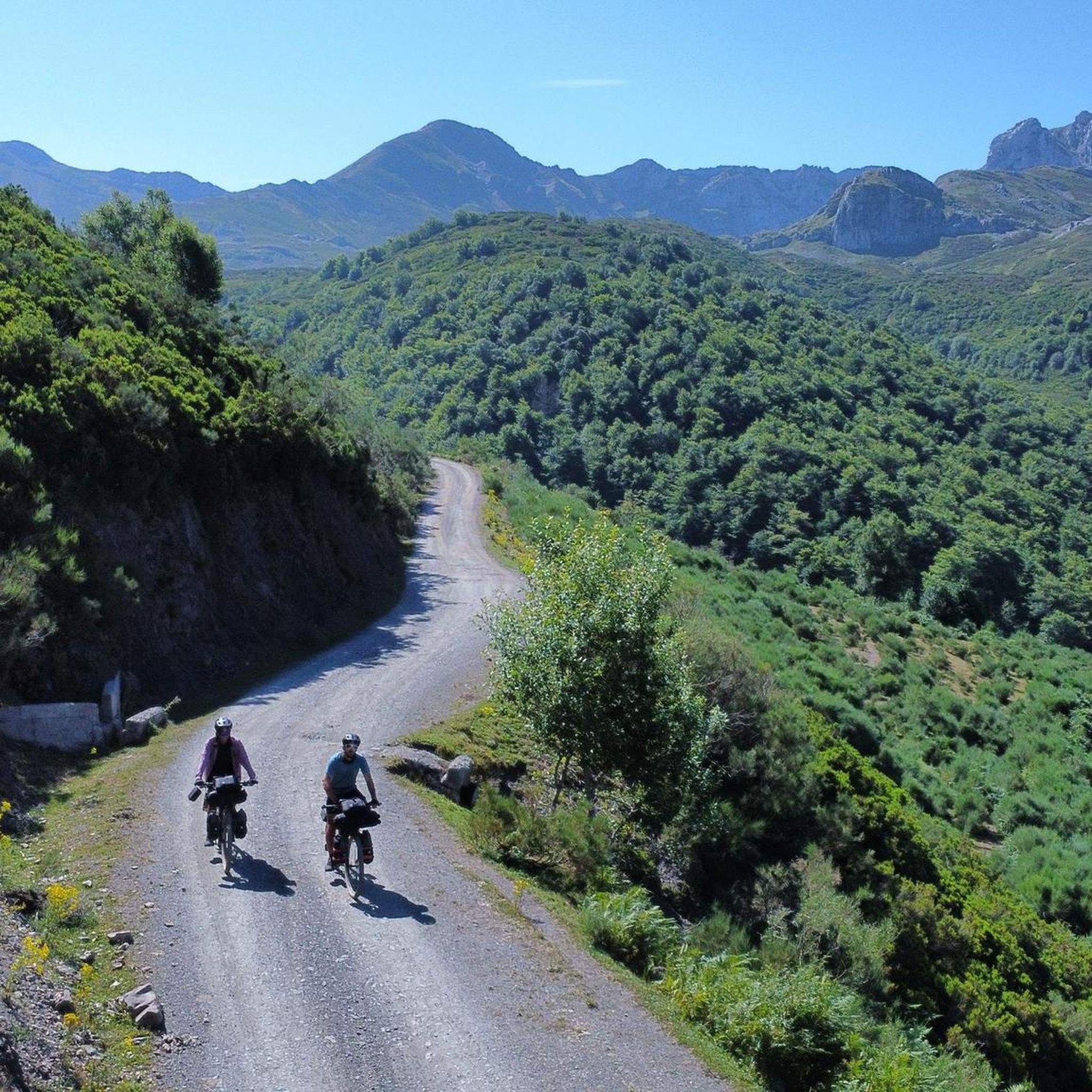
Touring cycling routes around Valdelugueros navigate a landscape characterized by river basins, mountain passes, and reservoirs. The region features varied terrain, including the Argüellos Biosphere and the dramatic gorges of Vegacervera. Elevations can be significant, with routes often traversing through valleys and ascending to passes. This area offers a challenging environment for touring cyclists seeking routes with considerable climbs and descents.
Best touring cycling routes around Valdelugueros
- The most popular touring cycling route is Argüellos Biosphere: Curueño and Torío Basins…
Last updated: May 20, 2026
5.0
(1)
24
riders
48.1km
03:15
710m
710m
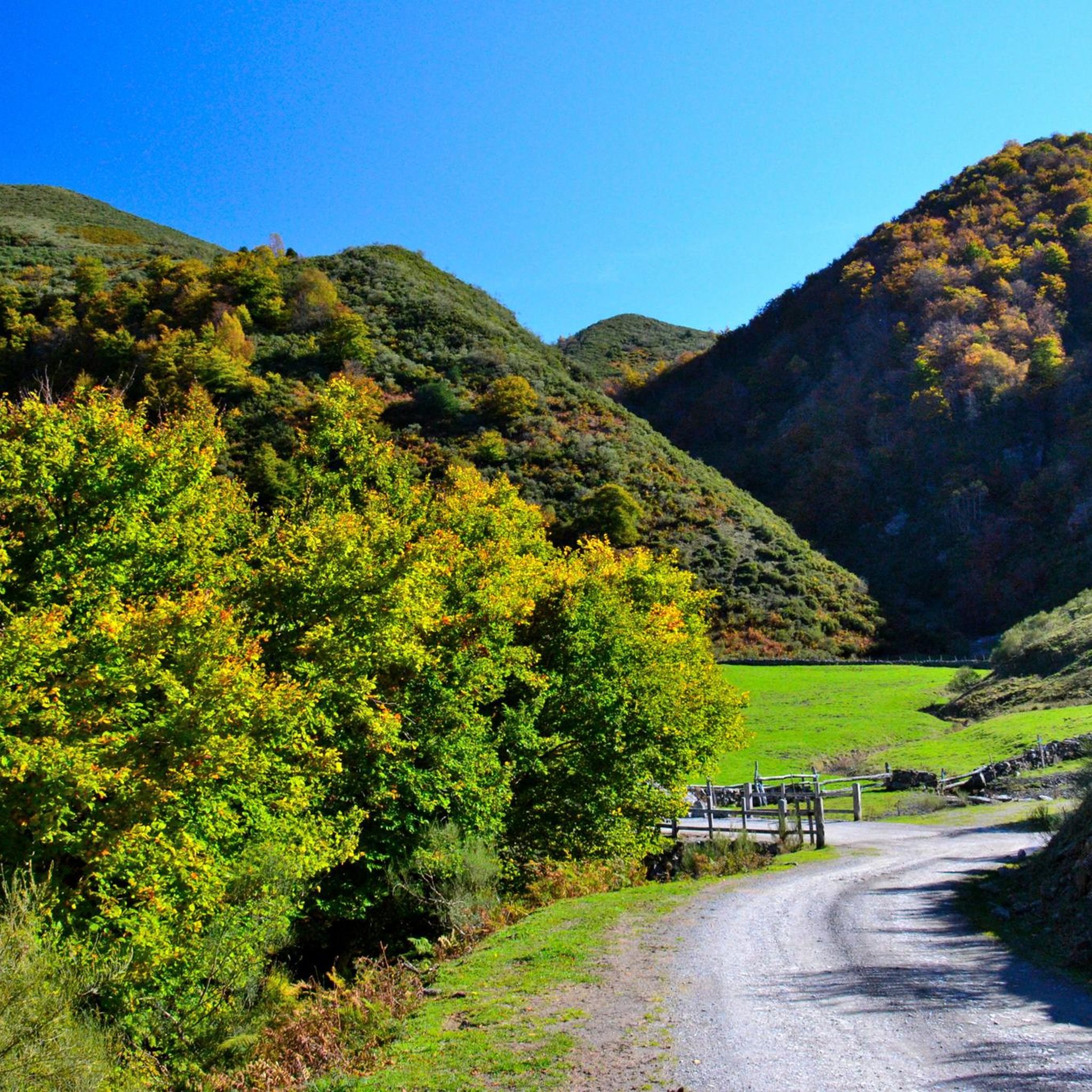
This difficult 29.9-mile touring cycling route through the Reserva de la Biosfera de los Argüellos offers dramatic gorges and mountain views
3
riders
32.7km
02:31
560m
550m
Cycle a difficult 20.3-mile (32.7 km) route around Embalse del Porma, enjoying mountain views and abandoned villages.

Sign up for free
5
riders
53.0km
03:51
1,020m
1,020m
Cycle a difficult 32.9-mile loop through the Cantabrian Mountains, conquering Tarna and Las Señales Passes with 3356 feet of gain.
2
riders
68.4km
04:34
1,060m
1,060m
Hard bike ride. Very good fitness required. Mostly paved surfaces. Suitable for all skill levels.
24
riders
76.8km
05:18
1,380m
1,380m
Hard bike ride. Very good fitness required. Mostly paved surfaces. Suitable for all skill levels.
Get access to more routes and recommendations from other explorers.
Sign up for free
Already have an account?
Our route recommendations are based on thousands of hikes, rides, and runs completed by other people on komoot.
Start today with a free account
Your next adventure awaits.
Login or Signup

Other adventures around Valdelugueros

Tips from the Community

The Tarna Pass seems hidden from tourism and constant traffic. It's located on one of the least-traveled and most beautiful passes between Asturias and León. The scenery at the top is spectacular.
1
0

The Puerto de La Tarna, from Riaño, is a challenging road climb offering steady gradients and spectacular views of the Riaño Mountains. From the summit, you can enjoy panoramic views of the surrounding valleys, reservoirs, and peaks.
0
0

If you want a more relaxing ride, go to the right at the turnoff. The start of the loop has more climbs, but the return is definitely much flatter.
0
0

Villamanín is a small town in the region of La Tercia on the N-630 national road. At the source of the Bernesga River on the valley route between León and Gijón.
1
0
Cultural and Religious Heritage: La Pola de Gordón has a number of historic churches and chapels, such as the Iglesia Nuestra Señora del Buen Suceso and the Ermita de Nuestra Señora de Celada, which are worth a visit for their architecture and history.
4
0

A great, exciting and spectacular landscape.
1
1

Ice creams, cheeses and natural yogurts, made by them naturally, finger-licking good.
1
0
The Hoces de Vegacervera are beautiful. Go slowly, stop, and contemplate the landscape. It is spectacular.
1
0
Frequently Asked Questions
What is the general difficulty level of touring cycling routes in Valdelugueros?
Valdelugueros is known for its challenging terrain, characterized by significant climbs and descents through river basins and mountain passes. Most of the routes, specifically 24 out of 29, are rated as difficult, offering a demanding experience for touring cyclists.
Are there any easier touring cycling routes for beginners or those seeking a less strenuous ride?
While the region is predominantly challenging, there are a few easier options available. Out of nearly 30 routes, 2 are rated as easy and 3 as moderate, providing alternatives for less experienced cyclists or those looking for a more relaxed tour.
What are some of the longest touring cycling routes in the Valdelugueros area?
For those seeking longer rides, consider routes like La Pola de Gordón Town Center – Hoces de Vegacervera loop from Vegacervera, which spans over 76 kilometers. Another substantial option is The Legend of the Porma and Curueño Rivers - circular from Lillo, covering approximately 68 kilometers.
Are there any circular touring cycling routes in Valdelugueros?
Yes, many routes in Valdelugueros are designed as loops, allowing you to start and end in the same location. Examples include the popular Argüellos Biosphere: Curueño and Torío Basins Loop, the scenic Porma Reservoir Loop, and the challenging Puebla de Lillo: Tarna and Las Señales Pass Loop.
What kind of natural attractions can I expect to see along the touring cycling routes?
The routes often traverse areas of significant natural beauty. You might encounter dramatic landscapes such as the Vegacervera Gorge or the Curueño Gorge. The region is also home to the Nocedo Waterfall, offering picturesque stops.
Are there any notable viewpoints or summits accessible from the touring cycling routes?
Yes, the mountainous terrain provides several excellent viewpoints. You can find panoramic vistas from spots like Pico Prado del Toro or enjoy the expansive View of Embalse del Porma and Peña Utrero. For those who enjoy reaching higher elevations, Susarón Peak (1,878 m) is a prominent summit in the area.
What is the best time of year for touring cycling in Valdelugueros?
Given the region's mountain passes and significant elevations, the warmer months, typically from late spring to early autumn, are generally most suitable. During winter, routes at higher altitudes may be affected by snow and ice, making them more challenging or impassable.
What do other touring cyclists enjoy most about the routes in Valdelugueros?
The touring cycling routes in Valdelugueros are highly regarded by the komoot community, with an average score of 3.9 stars. Cyclists often praise the challenging nature of the terrain, the stunning views of river basins and reservoirs, and the sense of accomplishment from tackling the mountain passes.
Is public transport an option for accessing touring cycling routes in Valdelugueros?
Accessing specific trailheads directly by public transport can be limited in this mountainous region. It's advisable to research local bus services to nearby towns or consider driving to a starting point, especially for routes that venture into more remote areas.
Where can I find parking for touring cycling routes in Valdelugueros?
Parking availability will vary depending on your chosen starting point. Many routes begin or pass through small villages where street parking might be available. For popular trailheads or reservoir areas, designated parking spots may exist. Always check local signage for restrictions.
Are there any family-friendly touring cycling routes in Valdelugueros?
While most routes are rated as difficult, there are a couple of easier options that might be more suitable for families or those with less experience. It's recommended to choose routes specifically marked as 'easy' and review their distance and elevation profiles carefully to ensure they match your family's capabilities.
Are there any cafes or places to stop for refreshments along the touring cycling routes?
The routes often pass through or near small villages where you might find local cafes or bars. However, given the rural and mountainous nature of Valdelugueros, services can be sparse on some stretches. It's always wise to carry sufficient water and snacks, especially on longer or more remote tours.
Most popular attractions around Valdelugueros

Get inspired with the komoot mobile app


Explore more
Browse the best Cycling routes in other regions.
