The best walks and hikes around Hermandad De Campoo De Suso
4.3
(80)
528
hikers
38
hikes
Hiking around Hermandad De Campoo De Suso offers diverse landscapes, characterized by a dramatic interplay of mountains and valleys in Cantabria, Spain. The region is shaped by rivers like the Híjar and Argoza, and features the traditional source of the Ebro River at Fontibre, surrounded by rich forests. High mountain plateaus, ancient oak and holly forests, and the towering Cordillera del Alto Campoo define the terrain. These natural features provide varied hiking opportunities across different elevations.
Best hiking trails around…
Last updated: October 10, 2026
4.8
(5)
30
hikers
8.51km
02:38
320m
320m
Moderate hike. Good fitness required. Easily-accessible paths. Suitable for all skill levels.
3.0
(1)
2
hikers
20.6km
06:08
630m
630m
Hike the difficult 12.8-mile Puerto de Palomberas y Castillo de Argüeso circular route, featuring a historic castle and mountain pass.

4.6
(5)
82
hikers
Easy hike. Great for any fitness level. Easily-accessible paths. Suitable for all skill levels.
4.7
(10)
51
hikers
9.17km
02:33
170m
160m
Moderate hike. Good fitness required. Easily-accessible paths. Suitable for all skill levels.
4.7
(9)
47
hikers
9.37km
02:36
160m
160m
Moderate hike. Good fitness required. Easily-accessible paths. Suitable for all skill levels.
Get access to more routes and recommendations from other explorers.
Already have an account?
Our route recommendations are based on thousands of hikes, rides, and runs completed by other people on komoot.
Start today with a free account
Your next adventure awaits.
Popular around Hermandad De Campoo De Suso
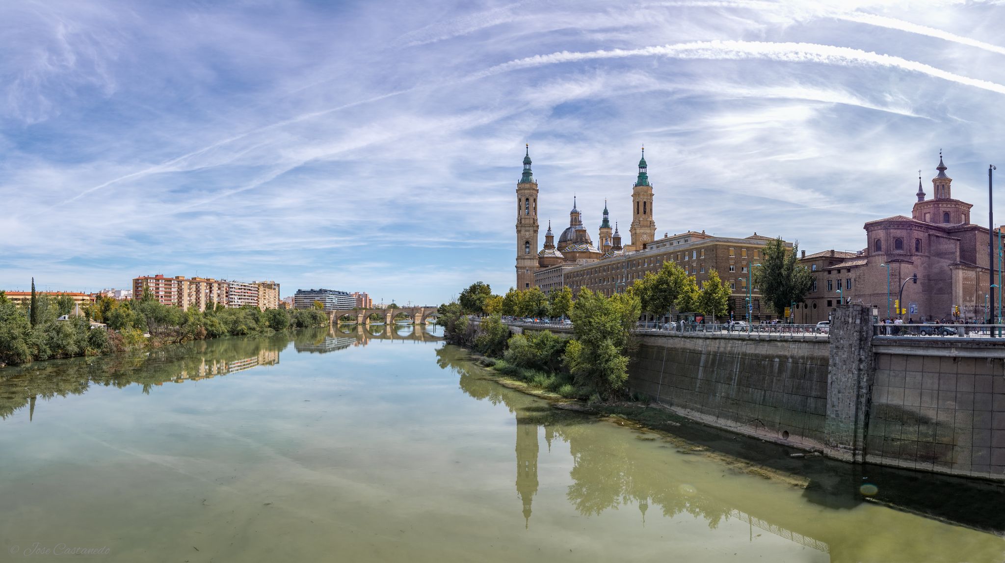
A river getaway – Ebro Natural Trail (GR 99)
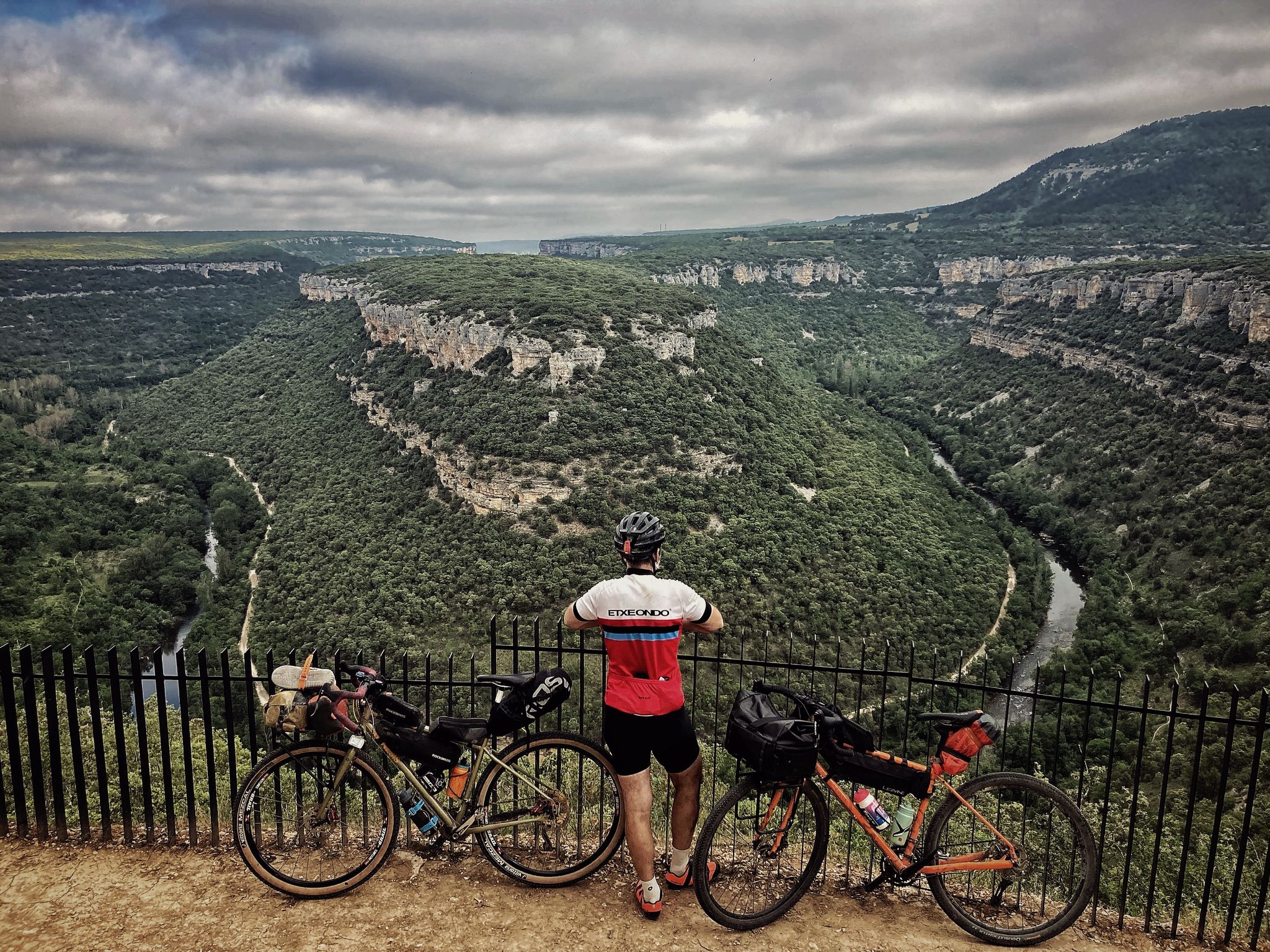
Spain's great river by bike – the Ebro Nature Trail
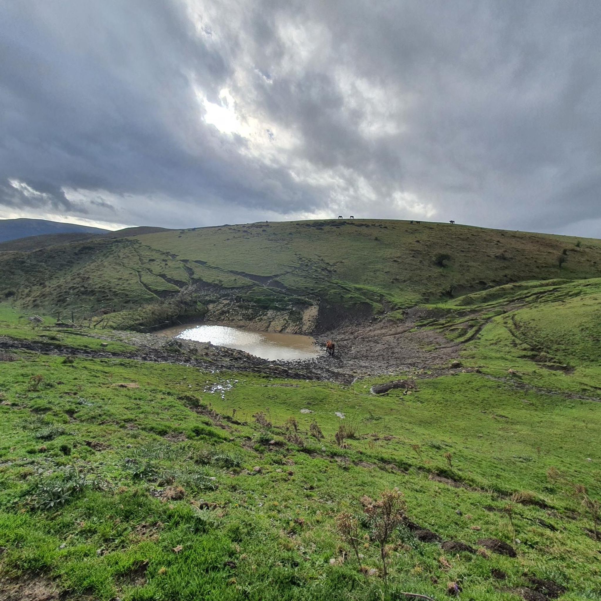
MTB Trails around Hermandad De Campoo De Suso
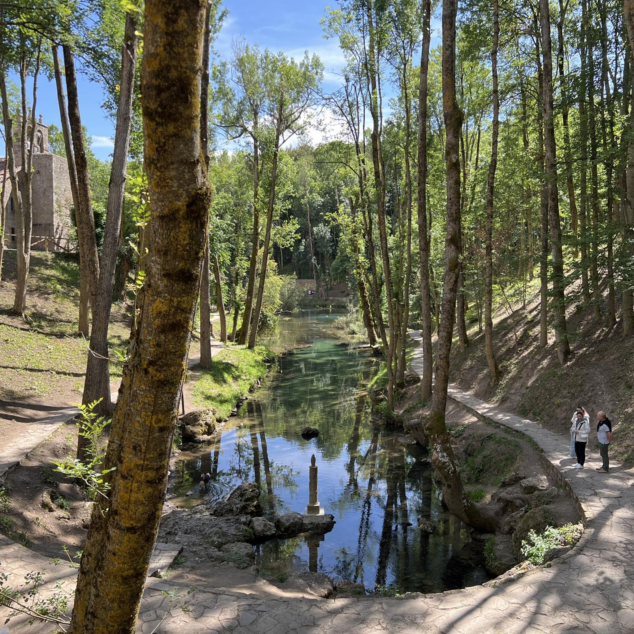
Cycling around Hermandad De Campoo De Suso
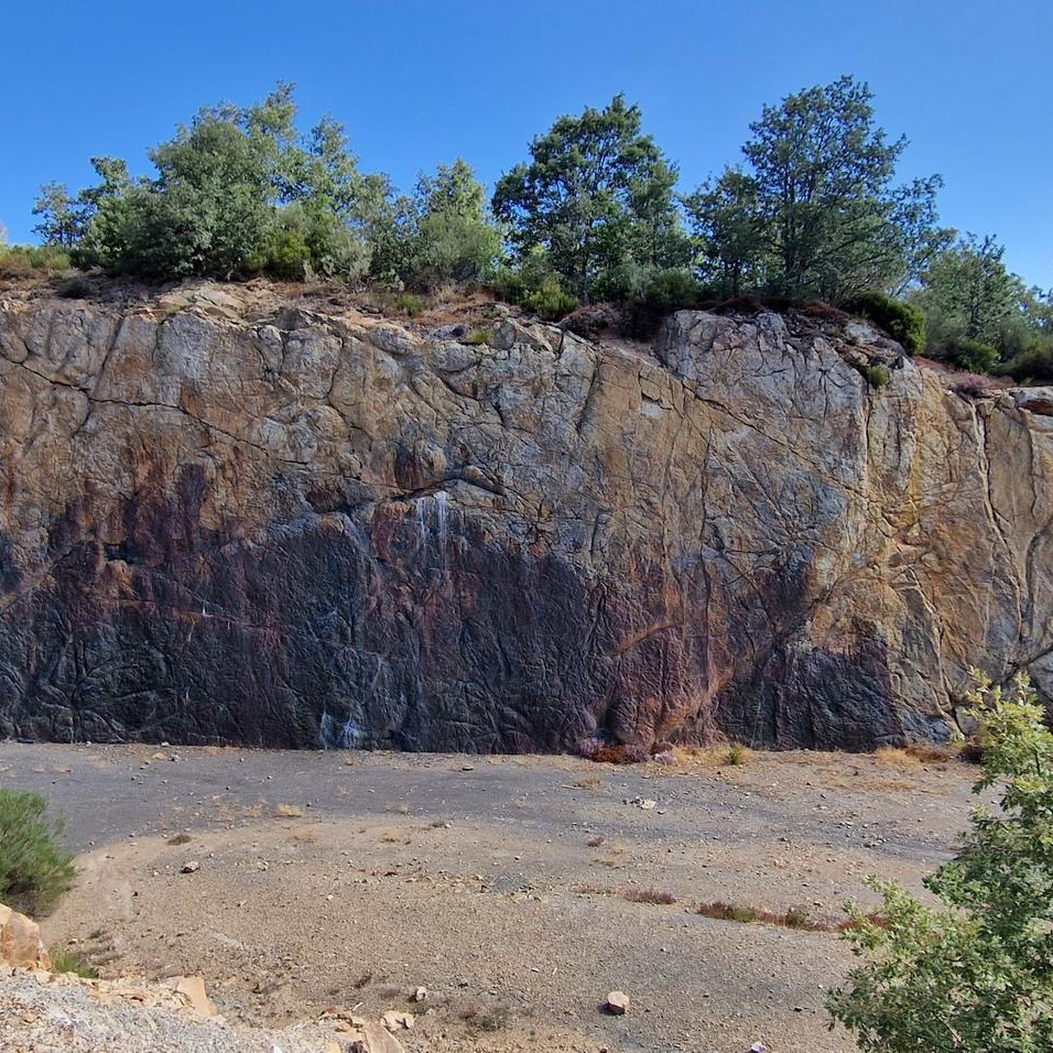
Running Trails around Hermandad De Campoo De Suso
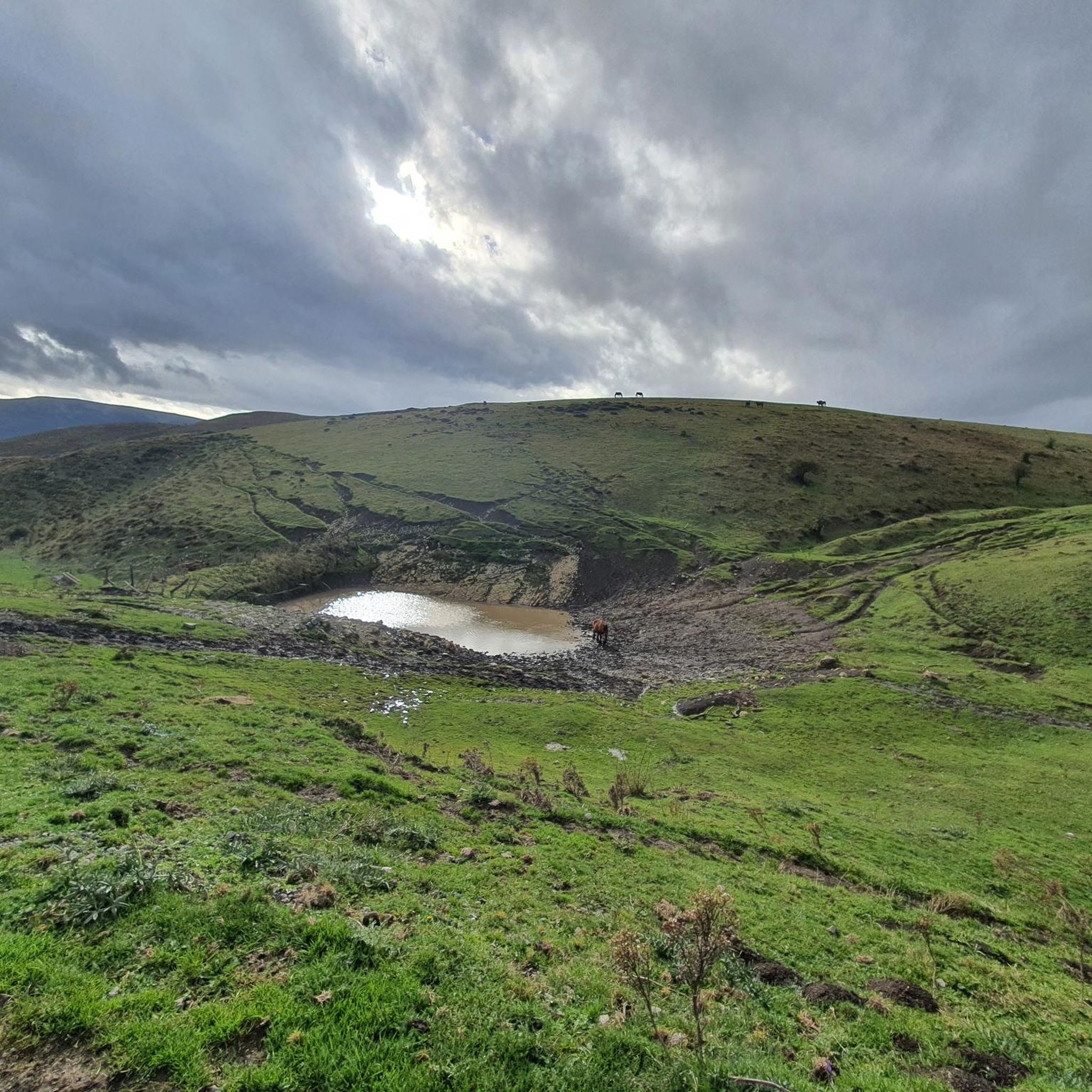
Road Cycling Routes around Hermandad De Campoo De Suso

Gravel biking around Hermandad De Campoo De Suso
Other adventures around Hermandad De Campoo De Suso


Tips from the Community

The Pico Tres Mares offers a great view of the surrounding peaks and valleys. The three valleys, each separated by mountain ridges, drain via their respective river systems into the Mediterranean Sea (Rio Hijar / Ebro), the Cantabrian Sea (Rio Nansa), and the Atlantic Ocean (Rio Pisuerga), from which the summit gets its name. From up here, you can also clearly see the beginning of the path to Peña Labra, which essentially runs along or near the ridge to the west - and with reasonably good visibility, the Picos de Europa are clearly visible to the northwest, standing out distinctly from the surrounding mountains of the Cordillera Cantabrica, even if some are not that much lower. There is a viewing platform at the summit - not pretty, but it allows even visitors without mountain experience to look around safely.
0
0
Here is the "official" source of the Ebro, even though it was proven about 40 years ago that only the water of the Rio Hijar, which seeps away at Paracuelles, re-emerges here. Strictly speaking, it is a karst spring. Not far below the spring, the Ebro is dammed by a small weir, creating a beautiful little pond here, which is obviously also popular with ducks. The circular path around the pond from the spring to the weir is only a few hundred meters long walk, a large visitor car park is directly above, so you don't have to make a long hike to visit - but you can, of course, also start the GR99 here and walk to the Mediterranean...
0
0

Officially, it's the source of the Ebro River, in Fontibre. However, according to what we were told at the tourist office, the waters of the spring pools come underground from the Hijar River, which rises in Alto Campoo. Specifically, in Tresmares, where the Hijar-Ebro begins, flowing into the Mediterranean; the Pisuerga (a tributary of the Duero) flows into the Atlantic; and the Nansa flows into the Cantabrian Sea.
0
0

Interesting to visit, if you are in the area.
3
0

On a hill, and guarding the road that linked the coast with Castilla through the Saja Valley, is the Castillo de San Vicente, in Argüeso, within the municipality of the Brotherhood of Campoo de Suso, in the South from Cantabria (Spain). Built during the 13th, 14th and 15th centuries, it was the emblem and fortress of the dominion of the House of Mendoza in the highlands of Campoo.
8
0

Fontibre is a small town in the Brotherhood of Suso, just 5 km from Reinosa. Beautiful town and place, where the source of the Ebro River is traditionally located. In fact, the name Fontibre refers to the source of the Ebro, as it derives from the Latin Fontes Iberis ("sources of the Ebro") and is already cited by Pliny the Elder when he mentioned it. It is located near the Roman city of Julióbriga. It doesn't matter when you visit, or at the time of year, because you will always appreciate and enjoy this little walk through the place.
2
0

Beautiful 12th century church and an example of Romanesque-style religious architecture in southern Cantabria. The church is listed as an Asset of Cultural Interest. Inside it has a small interactive museum.
1
0
The name Fontibre refers to the source of the Ebro – it derives from the Latin Fontes Iberis ("sources of the Ebro"). Fontibre is famous for having traditionally located the source of the Ebro river here, despite the fact that, in scientific terms, this is not exact. It is now known that the main source of the waters of the Ebro River is the Híjar River. By visiting the Visitor Center in the town, you can learn about the cultural, social and landscape diversity that the Ebro River has generated throughout history.
1
0
Frequently Asked Questions
How many hiking trails are available in Hermandad De Campoo De Suso?
Hermandad De Campoo De Suso offers over 25 hiking routes, catering to various skill levels. You'll find a mix of easy walks, moderate trails, and some more challenging ascents through its diverse landscapes.
What kind of terrain can I expect on the hiking trails in Hermandad De Campoo De Suso?
The region is characterized by a dramatic interplay of mountains and valleys, shaped by rivers like the Híjar and Argoza. You'll encounter high mountain plateaus, ancient oak and holly forests, and the towering Cordillera del Alto Campoo. Trails range from gentle paths through forests to more rugged ascents to mountain peaks.
Are there any challenging hikes for experienced trekkers?
Yes, for experienced hikers seeking a challenge, routes like the Puerto de Palomberas and Castillo de Argüeso offer a difficult 12.8-mile (20.6 km) path. This trail combines mountain passes with historical landmarks and significant elevation changes.
What natural features or landmarks can I see while hiking?
Hikers can explore a wealth of natural features and landmarks. The traditional source of the Ebro River at Fontibre is a serene spot surrounded by poplars, oaks, and beeches. You can also visit the Tres Mares Peak and Peña Labra for panoramic views, or discover the ancient 'El Abuelo' walnut tree in Hoz de Abiada. The El Moral Plateau also offers amazing landscapes.
Are there any hikes that feature waterfalls?
Yes, you can find trails that lead to beautiful water features. For example, the Waterfall loop from Río Hijar is an easy 4-mile (6.4 km) route that allows you to experience the region's cascades.
When is the best time of year to go hiking in Hermandad De Campoo De Suso?
The best time for hiking is generally during the warmer months, from late spring to early autumn, when the high mountain areas are free of snow and the weather is most pleasant. While the Cordillera del Alto Campoo is known for skiing in winter, its summer landscape transforms into vast pastureland, perfect for exploration.
Are there family-friendly hiking options?
Yes, there are several easy routes suitable for families. The region's diverse network includes paths that are less strenuous, allowing families to enjoy the natural beauty together. Many trails through the forests and along river valleys are ideal for a leisurely family outing.
Can I hike with my dog in Hermandad De Campoo De Suso?
While specific dog-friendly regulations can vary by protected area, generally, dogs are welcome on most trails in Hermandad De Campoo De Suso, especially if kept on a leash. It's always advisable to check local signage or park rules for any specific restrictions, particularly in nature reserves or areas with sensitive wildlife.
What do other hikers enjoy most about hiking in Hermandad De Campoo De Suso?
The area is highly rated by the komoot community, with an average score of 4.3 stars from over 40 reviews. Hikers often praise the diverse landscapes, from serene river sources to panoramic mountain views, and the opportunity to explore ancient forests and historical sites. The variety of trails suitable for different abilities is also frequently highlighted.
Are there any circular hiking routes available?
Yes, many routes in the region are designed as loops. For instance, the Source of the Ebro River – Refugio de La Guariza loop from Fontibre is a moderate 5.5-mile (8.8 km) circular trail that allows you to return to your starting point without retracing your steps.
Where can I find parking for the hiking trails?
Parking is generally available at common starting points for trails, especially near villages or popular attractions. For example, trails originating from Fontibre or near the Alto Campoo ski station typically have designated parking areas. It's recommended to check specific trailheads for detailed parking information before your hike.
Are there any historical sites or cultural attractions accessible via hiking?
Absolutely. The majestic 13th-century medieval fortress, Castillo de Argüeso, can be incorporated into hiking excursions. The region also boasts numerous Romanesque and Gothic churches, such as the Church of San Cipriano in La Población, adding a cultural dimension to your outdoor exploration.
Most popular routes around Hermandad De Campoo De Suso
Most popular attractions around Hermandad De Campoo De Suso

Get inspired with the komoot mobile app


Explore more
Browse the best Hikes in other regions.
