The best walks and hikes around San Bartolomé De Tirajana
4.3
(9081)
51,724
hikers
464
hikes
Hiking around San Bartolomé De Tirajana offers diverse landscapes, from coastal areas to mountainous terrain. The region is characterized by deep ravines, volcanic formations, and unique natural features like the Maspalomas Dunes. It encompasses a variety of protected natural areas, including the iconic Roque Nublo and the highest point of Gran Canaria, Pico de las Nieves. This varied geography provides a wide range of hiking experiences for different skill levels.
Best hiking trails around San Bartolomé De Tirajana
- The most popular hiking route is Ascent to the Pass – View of Morro de la Conjera loop from San Bartolomé de Tirajana, a moderate 8.7 miles (14.0 km) trail that takes about 4 hours 16 minutes to complete. This route offers views of the surrounding landscape from higher elevations.
- Another top favourite among local hikers is View of Maspalomas – Wonderful view across reservoirs loop from Ayagaures, a moderate 7.0 miles (11.3 km) path. This trail provides panoramic views of Maspalomas and passes by local reservoirs.
- Local hikers also love the Maspalomas Lagoon – Maspalomas Dunes loop from Maspalomas Dunes, a 4.0 miles (6.4 km) trail leading through the unique Maspalomas Dunes and along the lagoon, often completed in about 1 hour 38 minutes.
- Hiking around San Bartolomé De Tirajana is defined by volcanic landscapes, deep ravines, and the distinctive Maspalomas Dunes. The network offers options for various ability levels, from coastal walks to more challenging mountain ascents.
- The routes in San Bartolomé De Tirajana are highly rated by the komoot community with an average score of 4.3 stars from over 8,000 reviews. More than 44,000 hikers have used komoot to explore San Bartolomé De Tirajana's varied terrain.
Last updated: October 12, 2026
4.7
(598)
1,907
hikers
Moderate hike. Good fitness required. Easily-accessible paths. Suitable for all skill levels.
4.7
(238)
698
hikers
Moderate hike. Good fitness required. Mostly accessible paths. Sure-footedness required.

4.4
(177)
609
hikers
6.50km
01:39
20m
20m
Easy hike. Great for any fitness level. Easily-accessible paths. Suitable for all skill levels.
4.5
(195)
497
hikers
Easy hike. Great for any fitness level. Easily-accessible paths. Suitable for all skill levels.
4.7
(212)
1,008
hikers
Moderate hike. Good fitness required. Easily-accessible paths. Suitable for all skill levels.
Get access to more routes and recommendations from other explorers.
Already have an account?
Our route recommendations are based on thousands of hikes, rides, and runs completed by other people on komoot.
Start today with a free account
Your next adventure awaits.
Popular around San Bartolomé De Tirajana
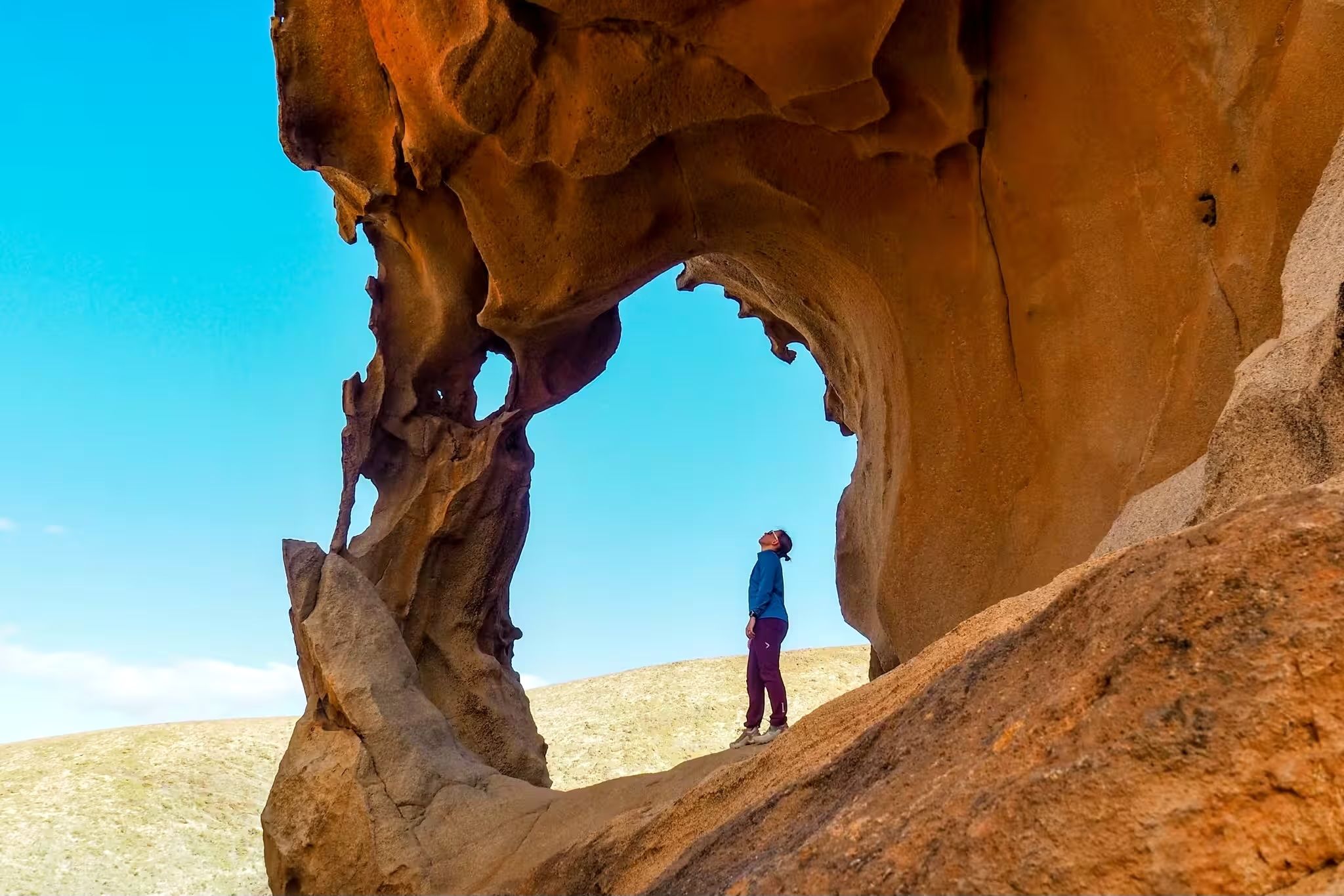
Canary Islands at a slow pace – six hikes immersed in nature
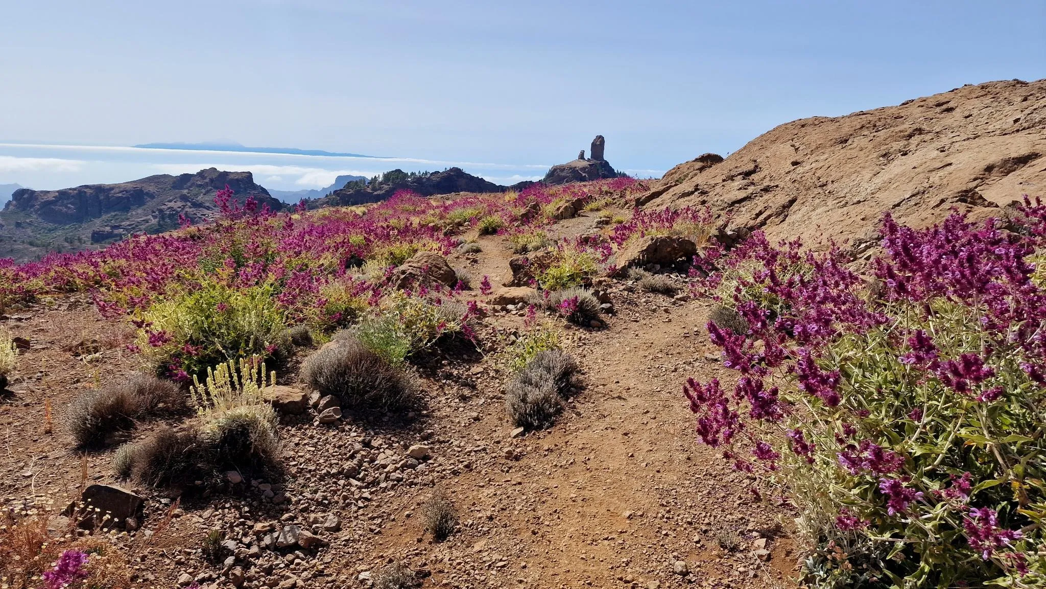
An island of contrasts – crossing Gran Canaria
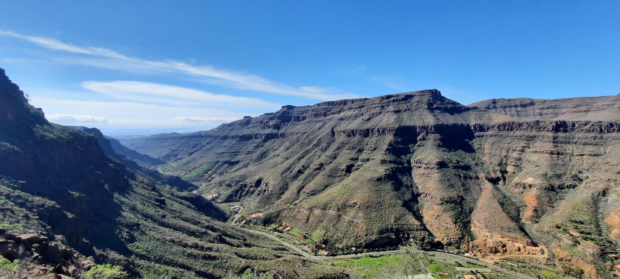
The challenge of the year — Transgrancanaria Classic
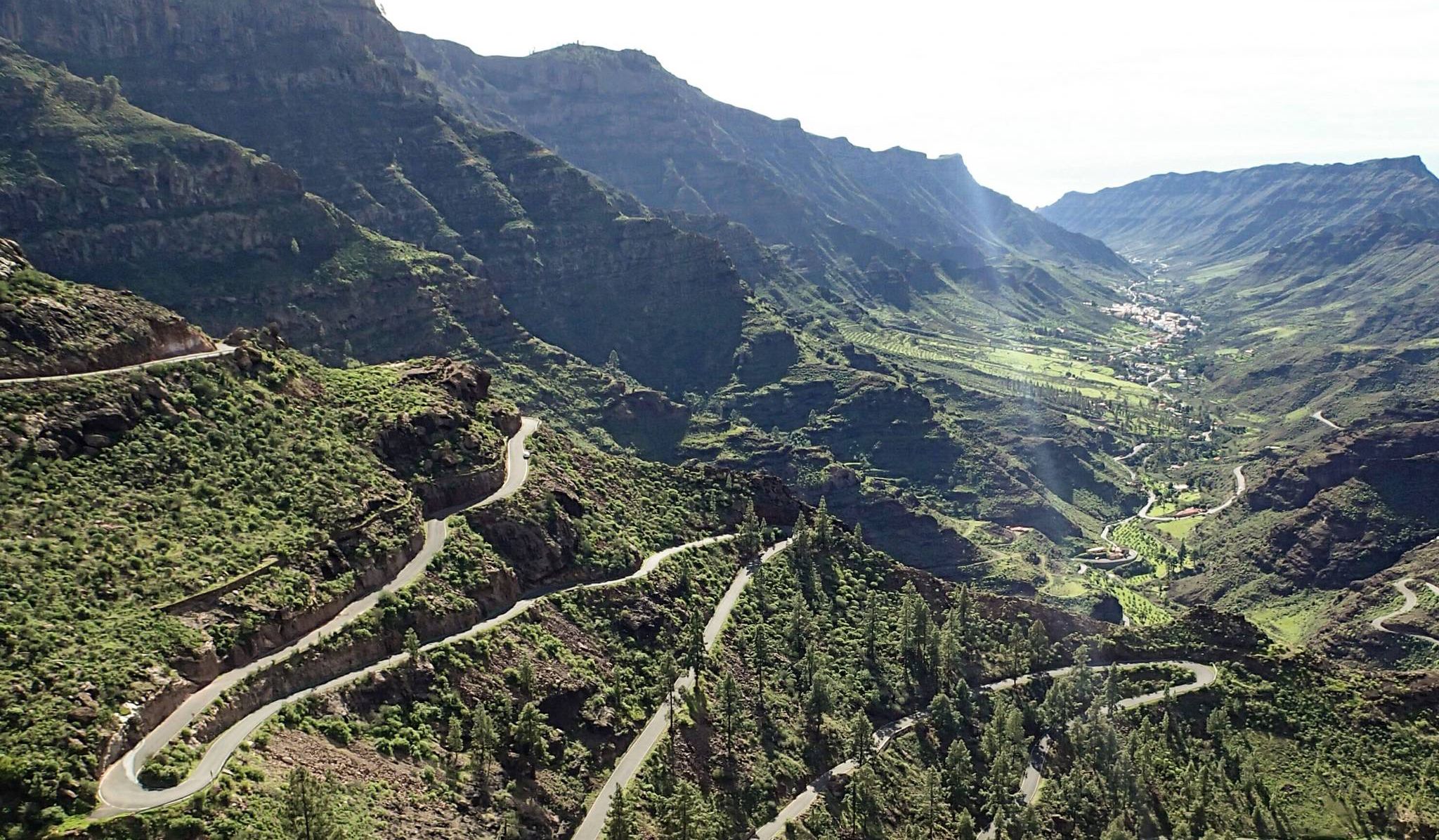
Escape to the south — road cycling in Gran Canaria
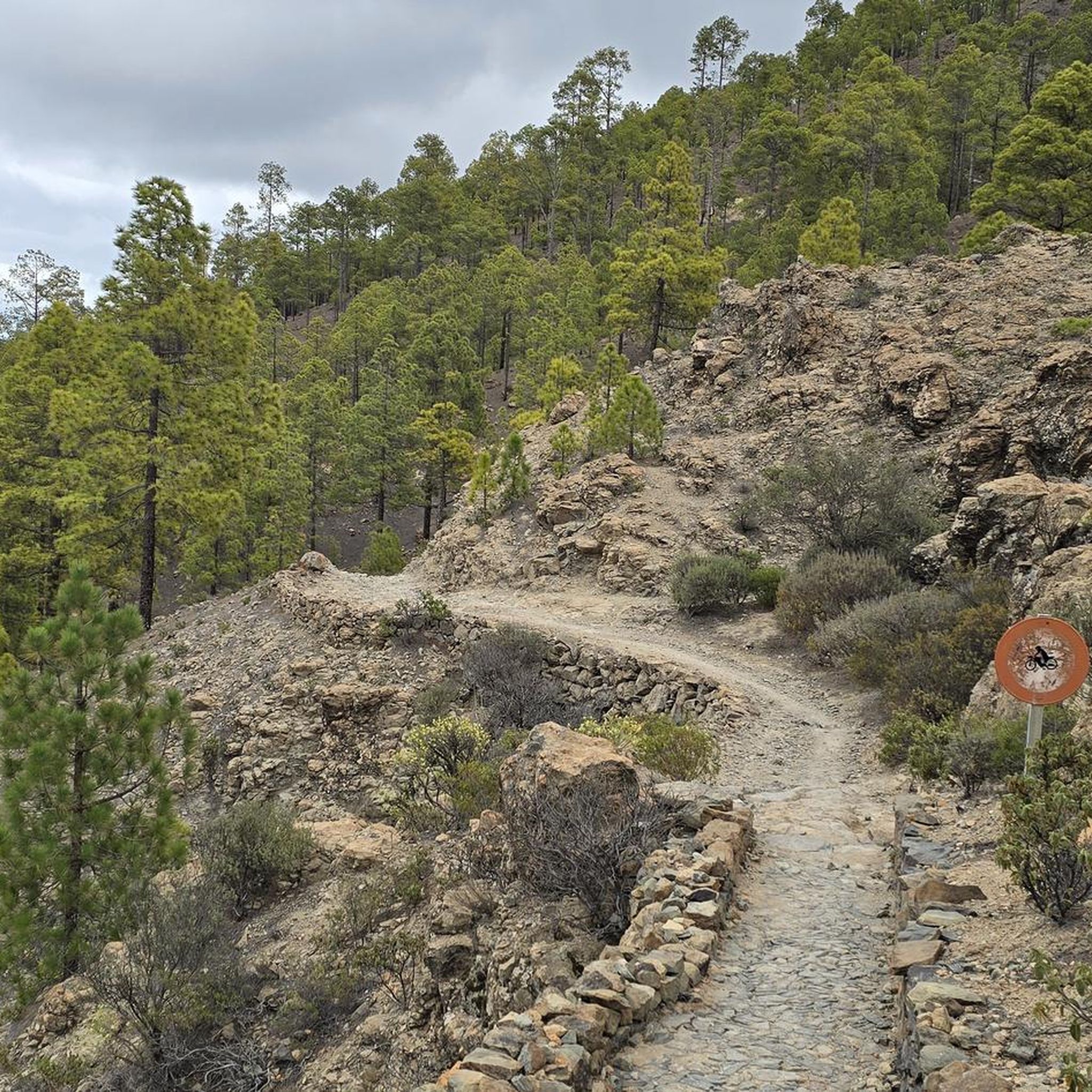
Road Cycling Routes around San Bartolomé De Tirajana
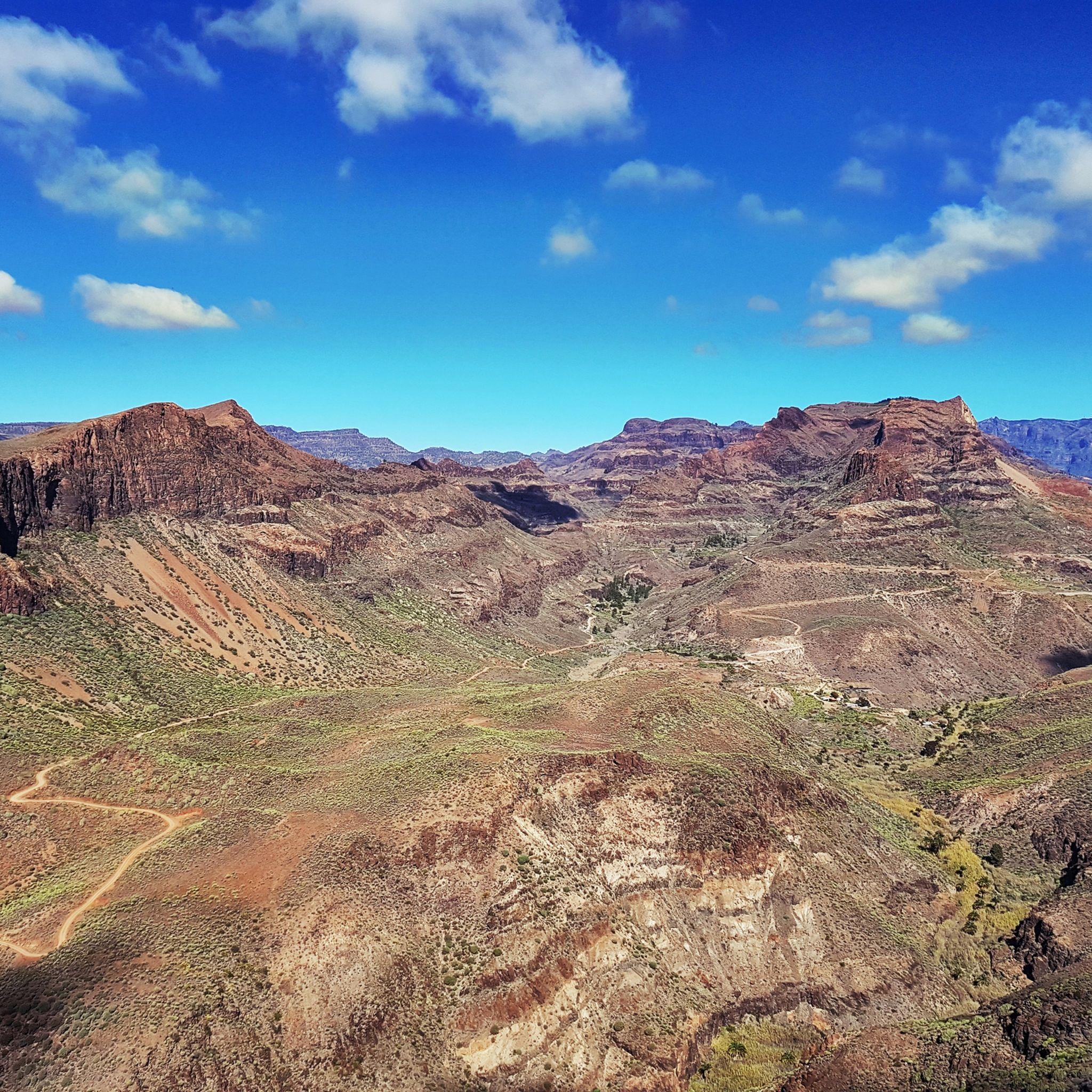
Cycling around San Bartolomé De Tirajana
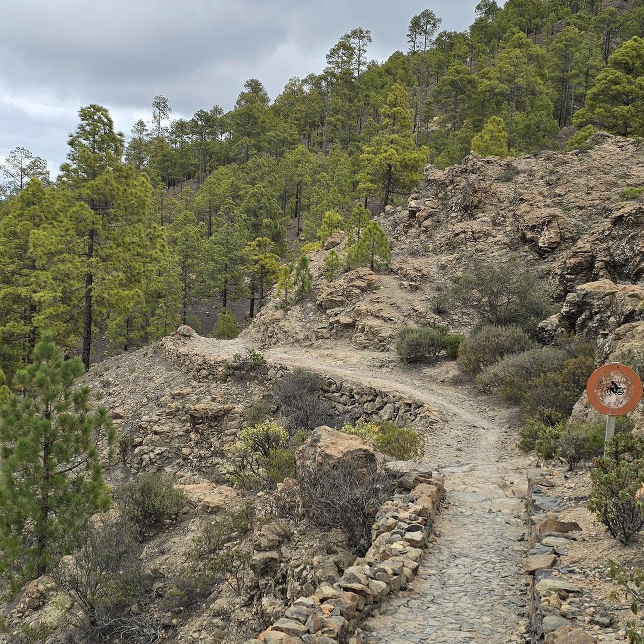
Running Trails around San Bartolomé De Tirajana
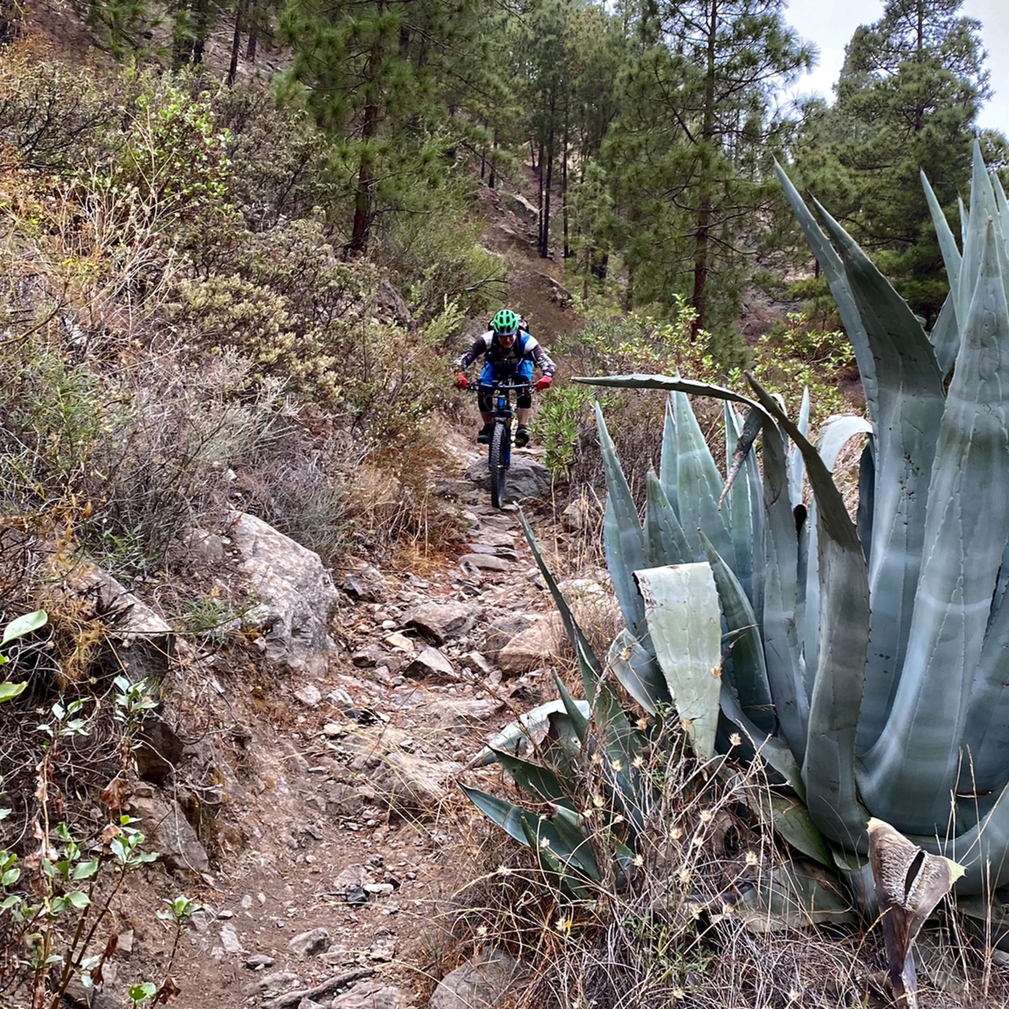
MTB Trails around San Bartolomé De Tirajana

Gravel biking around San Bartolomé De Tirajana

Mountain Hikes around San Bartolomé De Tirajana
Other adventures around San Bartolomé De Tirajana


Tips from the Community


Here nature has created impressive rock formations of volcanic rock.
1
0
From here you can enjoy a magnificent view towards the coast
2
0

The 'presa' or reservoir of La Gambuesa is located at an altitude of approximately 330 meters above sea level and has a capacity of 47,000 cubic meters of water. The reservoir forms an inseparable whole with the Presa de la Angostura, sharing with it the watershed of the Barranco de Ayagaures and a landscape of exceptional ecological, scenic, and cultural value.
1
0


The road was blocked.
0
1
I didn't find the hike easy. And it was rarely signposted.
0
0

Wonderful rock formations, steep, with small overhangs and hollows to linger under... and at the end of the path; at the Degollada de la Manzanilla (1185 meters) - a solar-powered SOS pillar - in the middle of nowhere!!
0
0
Frequently Asked Questions
How many hiking trails are available in San Bartolomé De Tirajana?
San Bartolomé De Tirajana offers a wide variety of hiking experiences, with over 400 trails recorded on komoot. These routes cater to all levels, from easy coastal walks to more challenging mountain ascents through the island's dramatic ravines.
Are there hiking trails suitable for beginners or families in San Bartolomé De Tirajana?
Yes, there are many options for beginners and families. Over 250 of the trails are rated as easy. A popular choice is the Maspalomas Lagoon – Maspalomas Dunes loop from Maspalomas Dunes, which is 4.0 miles (6.4 km) long and takes you through the unique Maspalomas Dunes, offering a relatively flat and scenic experience.
What kind of landscapes can I expect to see while hiking in San Bartolomé De Tirajana?
The region boasts incredibly diverse landscapes. You'll encounter everything from the golden sand dunes of Maspalomas and stunning coastal views to deep volcanic ravines and the cooler, mountainous interior. Iconic natural features like Roque Nublo and Pico de las Nieves offer breathtaking panoramic vistas.
Are there any circular hiking routes in San Bartolomé De Tirajana?
Yes, many of the trails in San Bartolomé De Tirajana are circular, allowing you to start and end at the same point. For example, the Ascent to the Pass – View of Morro de la Conjera loop from San Bartolomé de Tirajana is a moderate 8.7-mile (14.0 km) loop that offers great views.
What are some notable landmarks or attractions I can see along the hiking trails?
Hiking in San Bartolomé De Tirajana offers access to several iconic landmarks. You can explore the unique Maspalomas Dunes, visit the historic Maspalomas Lighthouse, or hike towards the majestic Roque Nublo, a significant natural monument. The highest point of Gran Canaria, Pico de las Nieves, also offers incredible panoramic views.
What do other hikers say about the trails in San Bartolomé De Tirajana?
The hiking trails in San Bartolomé De Tirajana are highly regarded by the komoot community, with an average rating of 4.3 stars from over 8,000 reviews. Hikers often praise the diverse scenery, from coastal paths to mountain views, and the well-maintained routes that cater to various skill levels.
Are there any trails that offer great viewpoints?
Absolutely. Many trails provide stunning viewpoints across the region. The View of Maspalomas – Wonderful view across reservoirs loop from Ayagaures is a moderate route specifically designed to offer panoramic views of Maspalomas and its surrounding reservoirs. Higher elevations like Roque Nublo and Pico de las Nieves also guarantee spectacular vistas.
What is the best time of year to go hiking in San Bartolomé De Tirajana?
San Bartolomé De Tirajana benefits from diverse microclimates, making it suitable for hiking year-round. However, the cooler months from autumn to spring (October to May) are generally preferred for longer hikes, as temperatures are milder. Even in winter, the weather is often pleasant enough for outdoor activities, especially along the coast.
Are there any less crowded hiking options for those seeking solitude?
While popular spots can attract visitors, the vast network of trails, especially those venturing into the deeper ravines and protected natural areas like Pilancones Natural Park, often provide a sense of solitude. Exploring routes away from the immediate coastal resorts can lead to quieter experiences amidst the rugged interior.
Can I reach hiking trails using public transport in San Bartolomé De Tirajana?
Public transport options are available to reach some of the trailheads, particularly those closer to towns and villages. However, for more remote routes, renting a car or using local taxi services might be necessary to access the starting points conveniently. It's advisable to check local bus schedules for specific routes.
Are there any trails that pass by water features like reservoirs or lagoons?
Yes, some trails incorporate water features into their routes. The View of Maspalomas – Wonderful view across reservoirs loop from Ayagaures passes by local reservoirs, offering picturesque views. Additionally, the Maspalomas Lagoon – Maspalomas Dunes loop from Maspalomas Dunes takes you along the Maspalomas Lagoon, a unique natural feature.
What should I bring for a hike in San Bartolomé De Tirajana?
Given the varied terrain and microclimates, it's wise to bring layers of clothing, sturdy hiking shoes, sun protection (hat, sunscreen), and plenty of water. For longer or more challenging routes, a map or GPS device is recommended, along with snacks and a fully charged phone. Always check the weather forecast before heading out.
Most popular routes around San Bartolomé De Tirajana
Most popular attractions around San Bartolomé De Tirajana

Get inspired with the komoot mobile app


Explore more
Browse the best Hikes in other regions.
