The best running trails around Barcelonnette
4.3
(100)
3,958
runners
226
runs
Jogging around Barcelonnette offers diverse terrain within the Ubaye Valley, characterized by high peaks, mid-mountains, and the Ubaye River. The region features a network of forested paths and high-alpine routes, providing varied landscapes for runners. Trails range from gentle valley routes to more challenging ascents, catering to different fitness levels. The area's natural features include the Ubaye River and proximity to Lake Serre-Ponçon, offering scenic backdrops for running.
Best jogging routes around Barcelonnette
- The most popular jogging route is Barcelonnette…
Last updated: September 26, 2026
5.0
(1)
41
runners
13.9km
02:25
1,000m
1,000m
Hard run. Very good fitness required. Mostly accessible paths. Some sure footedness required.
46
runners
24.6km
05:38
1,930m
1,930m
Hard run. Very good fitness required. Sure-footedness, sturdy shoes and alpine experience required.

6
runners
27.2km
04:35
1,370m
1,370m
This difficult 16.9-mile (27.2 km) jogging route in Mercantour National Park offers panoramic views and 4506 feet (1373 metres) of elevation
1
runners
Moderate run. Good fitness required. Mostly accessible paths. Some sure footedness required.
2
runners
20.4km
03:18
950m
950m
Experience the challenging Tour de l'Ubaye Trail (GR 56), a difficult 12.7-mile jogging route through Mercantour National Park.
3
runners
5.34km
00:47
200m
200m
This difficult 3.3-mile (5.3 km) jogging trail in Mercantour National Park offers lake views and a panoramic valley viewpoint.
205
runners
8.47km
00:53
40m
40m
Moderate run. Good fitness required. Mostly paved surfaces. Suitable for all skill levels.
4.4
(19)
165
runners
7.33km
00:52
240m
230m
Moderate run. Good fitness required. Mostly paved surfaces. Suitable for all skill levels.
4.3
(6)
124
runners
9.58km
01:07
140m
140m
Hard run. Good fitness required. Sure-footedness, sturdy shoes and alpine experience required.
57
runners
40.6km
06:34
2,190m
2,190m
Hard run. Very good fitness required. Sure-footedness, sturdy shoes and alpine experience required.
Get access to more routes and recommendations from other explorers.
Already have an account?
Our route recommendations are based on thousands of hikes, rides, and runs completed by other people on komoot.
Start today with a free account
Your next adventure awaits.
Popular around Barcelonnette
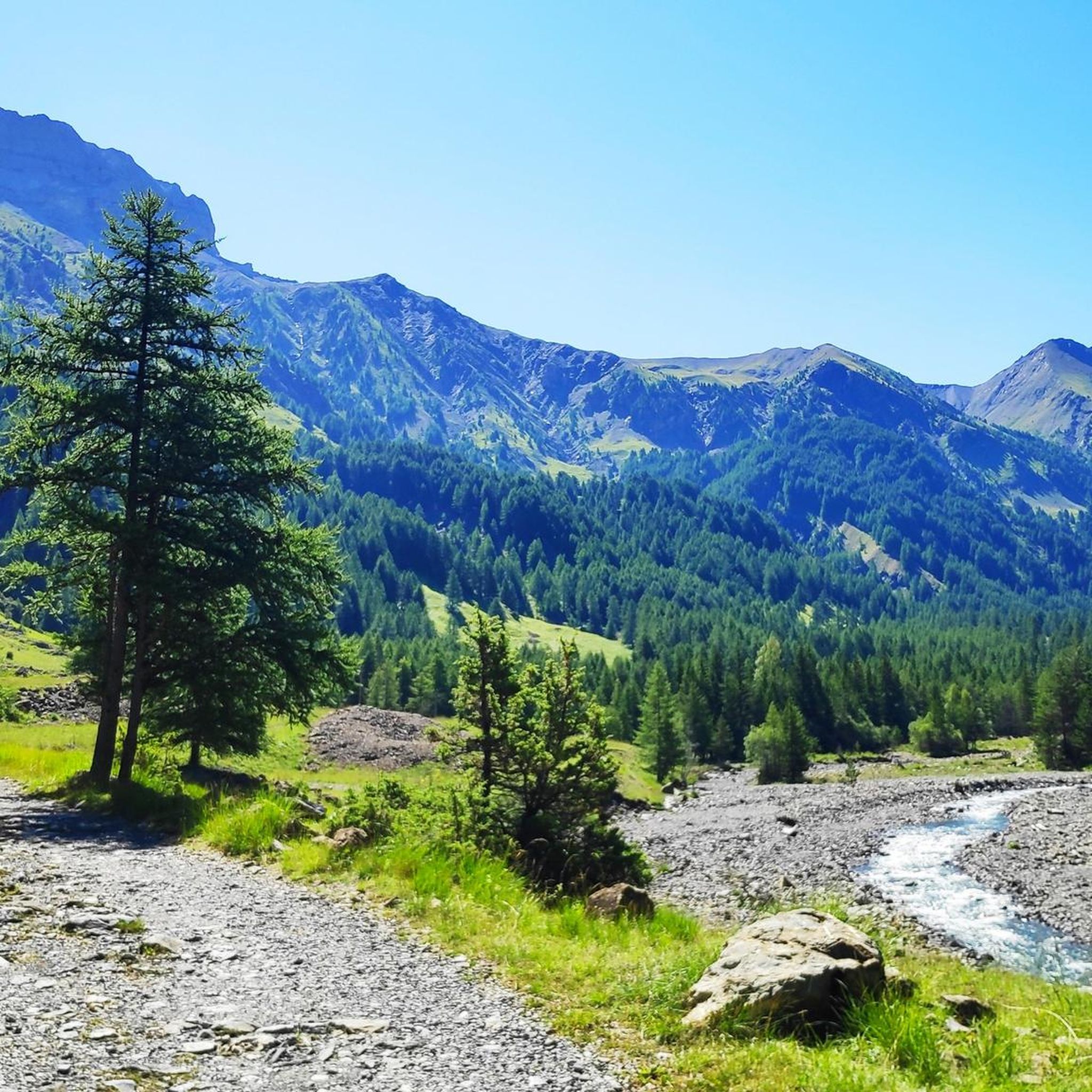
Running Trails around Lac de Serre-Ponçon
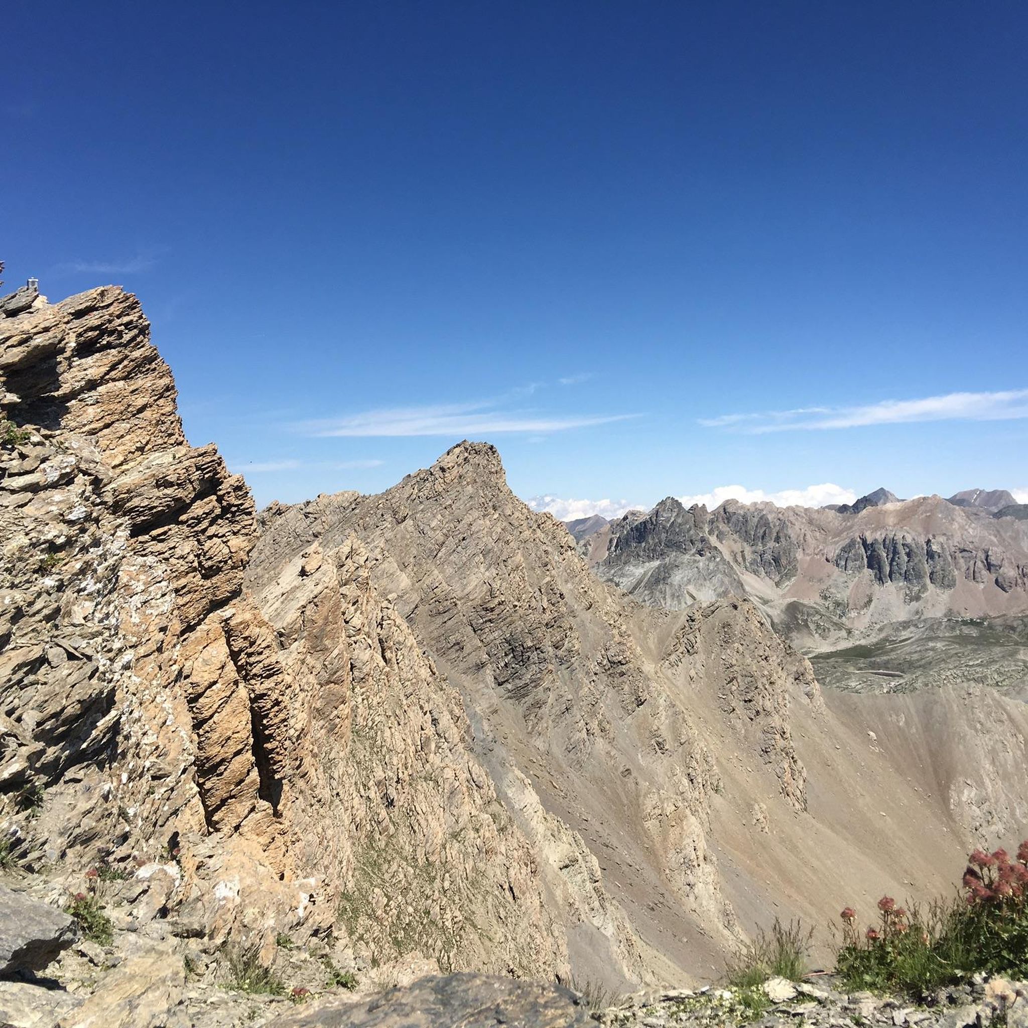
Running Trails around Méolans-Revel
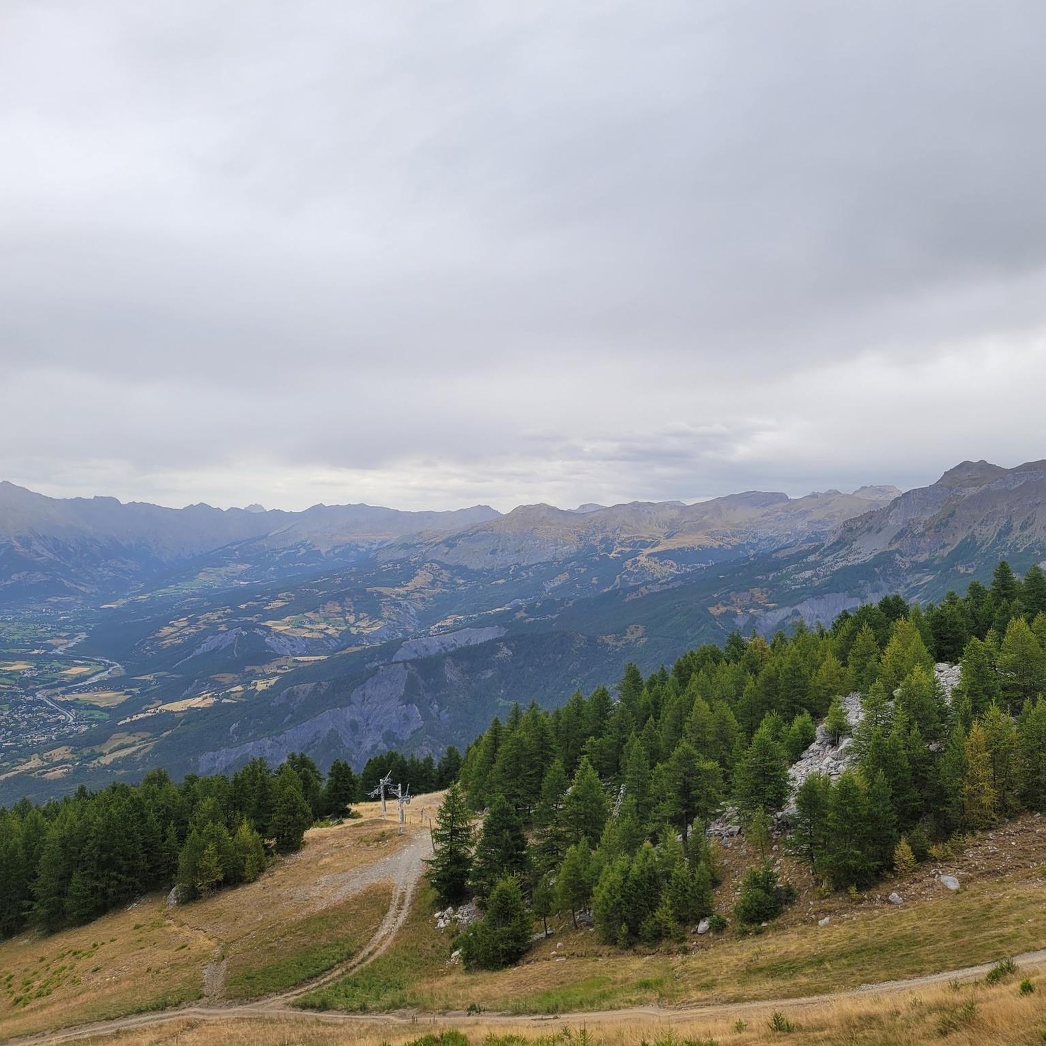
Running Trails around Les Thuiles
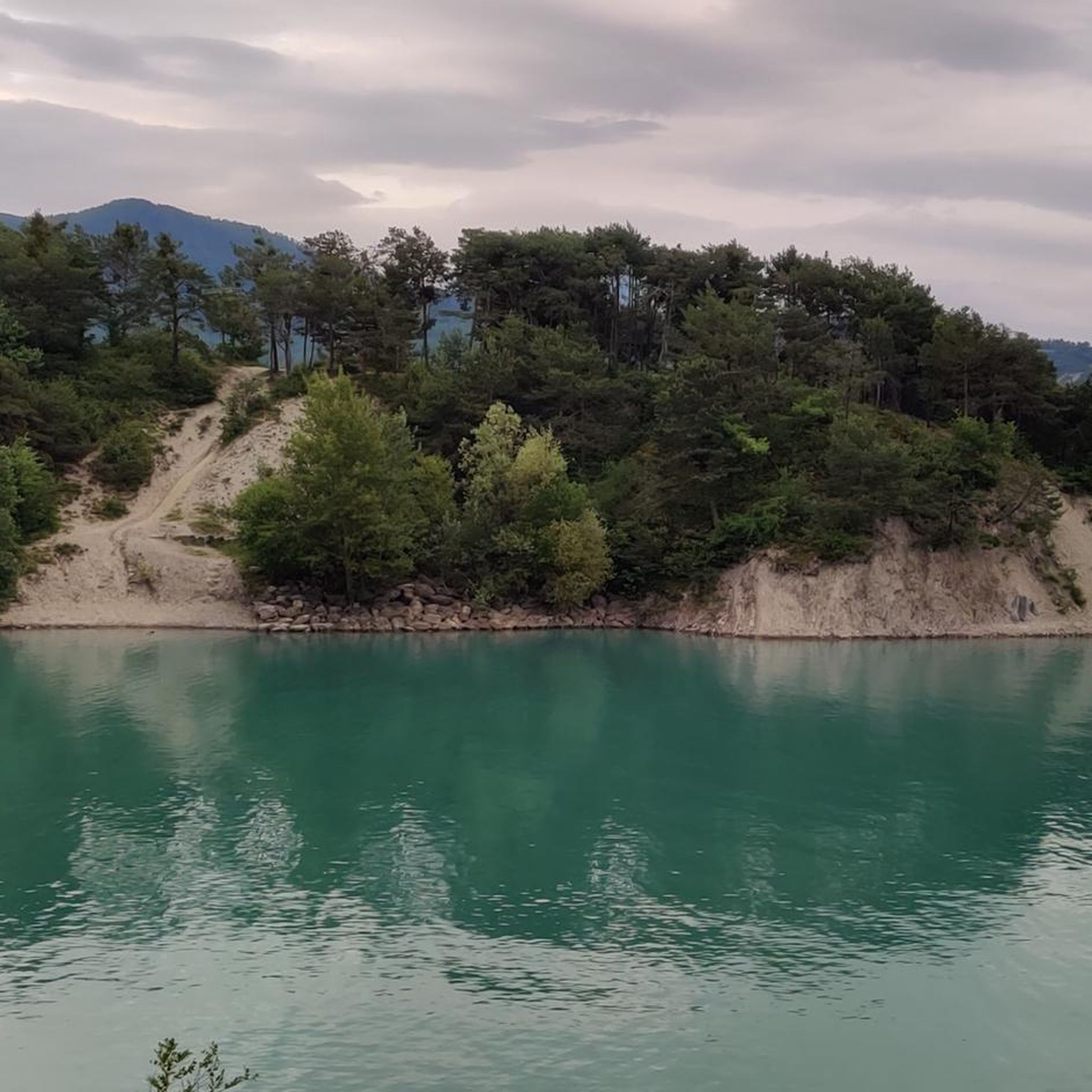
Running Trails around Lac des Neuf Couleurs
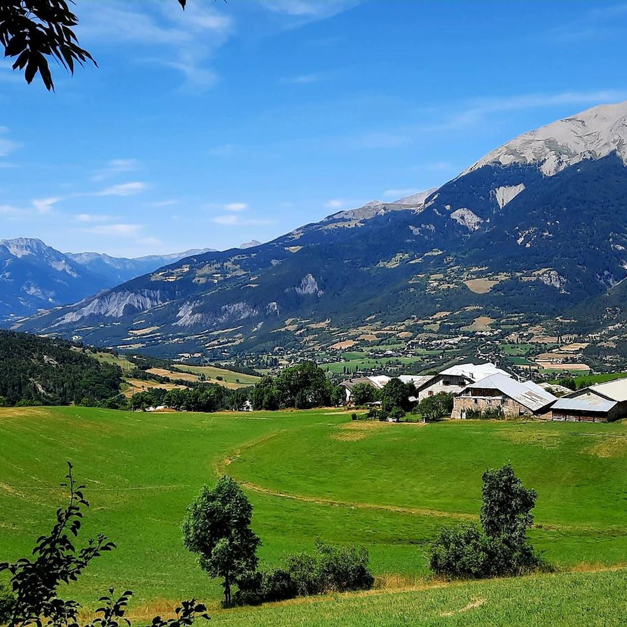
Running Trails around Jausiers
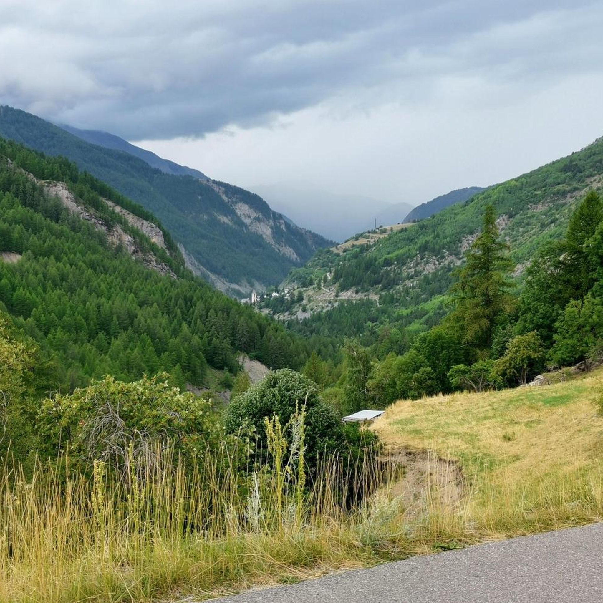
Running Trails around Uvernet-Fours
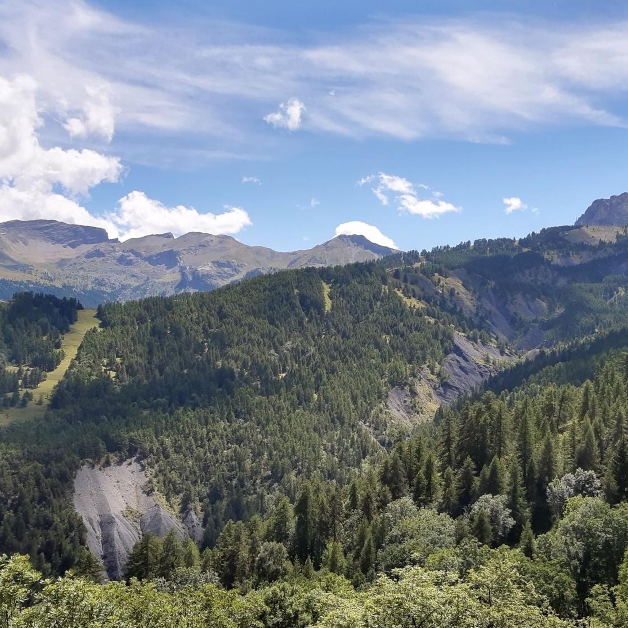
Running Trails around Enchastrayes
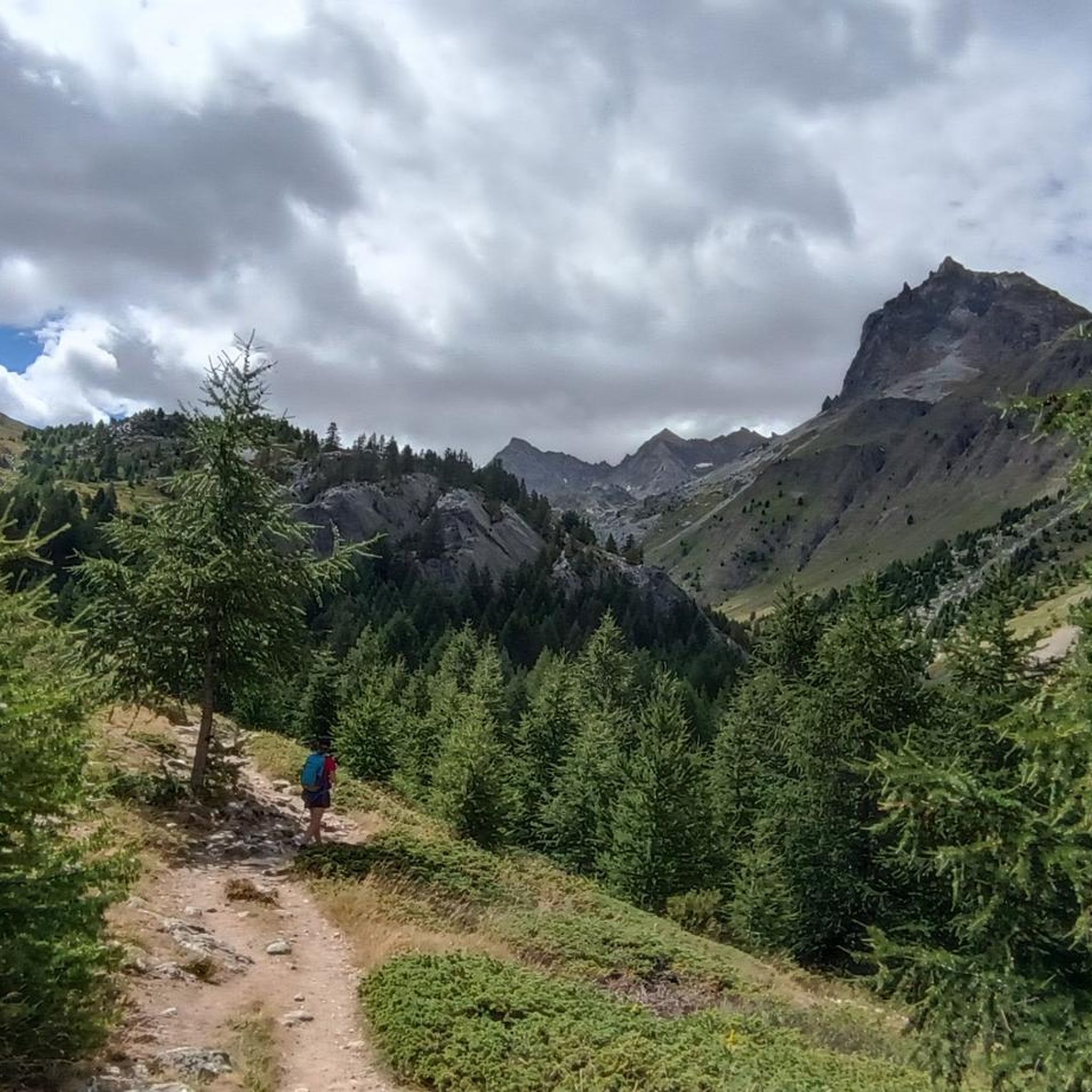
Running Trails around Saint-Paul-Sur-Ubaye
Running Trails around La Condamine-Châtelard
Running Trails around La Bréole
Other adventures around Barcelonnette


Tips from the Community

beautiful walk accessible for everyone
0
0

A nice little spot in the summer, but in winter the tables are under the snow
0
0
A place steeped in history, it was once a hamlet where men and sheep lived in symbiosis. In winter, the setting is splendid.
0
0

Beautiful place for a picnic. Tables and benches are available.
0
0


When it was created in 1878, the Parc de La Sapinière occupied a vast plot of nearly 5 ha that included the current avenue Porfirio Diaz (formerly La Galopine) and its subdivision of villas. The farmhouse of La Sapinière was located on the current site of the residence La Sousta. Having become the property of Antoine Signoret (1895), the Parc de La Sapinière was reduced and divided into lots. The former allée La Galopine became, in September 1907, the avenue Porfirio Diaz, and accommodated no less than four villas including the spectacular Villa Bleue (1929). Reduced to 14,500 m2, its new surface area nevertheless remains one of the largest among the gardens of the villas built on their return from Mexico. Like the parks belonging to the first generation of villas (1870-1890), that of La Sapinière was first and foremost a rustic, nourishing garden, for which the best fruit trees were selected and vegetable plants were gathered in a considerable area: English Reinette apple trees, white court-pendu, chestnut, Bon-Chrétien pear trees, Carmelite lemon, soldier ploughman, Ohio beauty cherry... Access to the farmhouse (also called rustic house) was carefully organized by a head of cultivation who came specially from Grenoble (Pépinières Paul de Mortillet (La Tronche-Isère). "As a border for the path leading to the rustic house, we recommend as rustic plants, if it is partly shaded: ivy and periwinkle especially. For part exposed to the sun: variegated couch grass, ribbon phalaris, blue fescue, vine plumbago, etc. Not forgetting the rose bushes “which also make strong and pretty borders”.
4
0
Saint Pierre Church, rebuilt in 1928, on 13th century foundations, the bell tower is from the 13th century. Cardinalis Tower (remains of the Dominican church), stroll through the streets.
4
0
Frequently Asked Questions
How many running routes can I explore around Barcelonnette?
Barcelonnette offers a wide selection of running routes, with over 230 options available. These routes cater to various preferences, ranging from easy, gentle paths to challenging high-alpine trails.
Are there running routes suitable for beginners or those looking for an easy jog?
Yes, Barcelonnette has routes suitable for all abilities. While many routes are challenging, there are 14 easy and 65 moderate running trails. For a convenient and relatively flat option, consider the Barcelonnette loop from Barcelonnette, which is 5.3 miles (8.5 km) and starts directly from the town center.
What kind of terrain can I expect on the running trails in the Ubaye Valley?
The Ubaye Valley offers incredibly diverse terrain for runners. You'll find everything from gentle forested paths and scenic routes along the Ubaye River to challenging ascents leading to rocky peaks and high-alpine environments. The region's landscape includes high peaks, mid-mountains, and lakes, providing a varied backdrop for any run.
Are there any circular running routes around Barcelonnette?
Yes, many running routes in the area are circular. A popular choice is the Pra-Loup to Clos du Serre - loop trail in the heart of Mercantour National Park, a moderate 2.5-mile (4.0 km) path offering scenic views. Another option is the Siguret Lake and Cuguret Loop Trail, which is 3.3 miles (5.3 km) and features varied terrain with lake views.
What are some scenic landmarks or natural features I might see while running near Barcelonnette?
The region is rich in natural beauty. You can encounter stunning mountain passes like Col de Vars and Cayolle Pass, or enjoy views of the turquoise waters of Lake Serre-Ponçon. The Costeplane Waterfalls are another beautiful natural monument you might discover on your runs.
What is the best time of year for running in Barcelonnette?
The area is particularly attractive for running in the summer, when higher altitudes offer a cooler escape from the heat. Autumn is also beautiful, as the valley transforms with vibrant yellowing trees before the winter snows. While winter running is possible, conditions can be challenging due to snow and ice, especially on higher trails.
Are there any running routes that offer views of Lake Serre-Ponçon?
Yes, some routes provide panoramic views of Lake Serre-Ponçon. The Path With Lake View – View of the Lake and Mountains loop from Saint-Vincent-les-Forts is a moderate 8.4 km route specifically designed to showcase the lake and surrounding mountains.
Are there any long-distance or challenging trail running options?
Absolutely. Barcelonnette is a prime location for trail running, offering numerous demanding routes. Examples include the Head of Fréma and Point of Aval – trail, which is over 24 km with significant elevation gain, and the Tour of Ubaye Trail, a 27 km route. These require good fitness and often alpine experience.
What do other runners say about the trails in Barcelonnette?
The running routes in Barcelonnette are highly rated by the komoot community, with an average score of 4.0 stars from over 70 reviews. Runners often praise the diverse landscapes, from forested paths to high-alpine environments, and the stunning views of the Ubaye Valley and its surrounding peaks.
Can I find running routes that are accessible from Barcelonnette town center?
Yes, several routes are easily accessible from the town center. The Barcelonnette loop from Barcelonnette is a popular moderate route that starts and ends directly in town, offering a convenient option for a local jog.
Are there any specific regulations for running in Mercantour National Park?
When running within Mercantour National Park, it's important to respect park regulations. Generally, this includes staying on marked trails, not disturbing wildlife, and leaving no trace. For detailed information on specific rules or potential permit requirements, it's advisable to consult the official Mercantour National Park website.
Are there any routes that pass by historical or cultural points of interest?
While the region is primarily known for its natural beauty, Barcelonnette itself has a unique blend of French mountain culture with a touch of Mexican influence. The Marie – Musée de la Vallée loop from Barcelonnette is a longer, difficult route that starts in town, allowing you to explore the charming streets and architecture before or after your run, and potentially pass by local points of interest like the Musée de la Vallée.
Most popular routes around Barcelonnette
Most popular attractions around Barcelonnette

Get inspired with the komoot mobile app


Didn’t find what you were looking for?
Check out more Running Trails & Routes throughout Barcelonnette below and find the perfect route in your destination.
Explore more
Browse the best Running Trails & Routes in other regions.
