The best walks and hikes around Forbach-Bolchen
4.4
(3447)
17,440
hikers
895
hikes
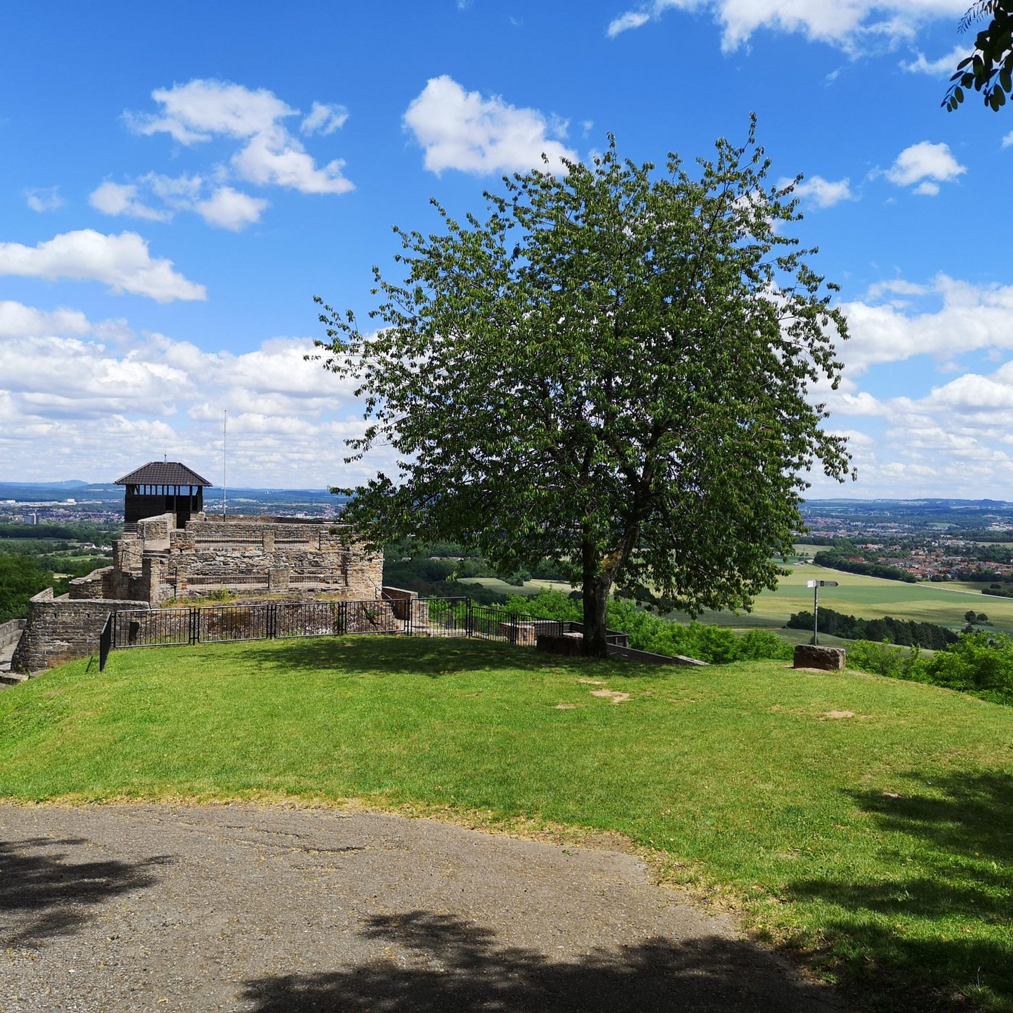
Hiking around Forbach-Bolchen offers diverse landscapes, characterized by extensive forests, river valleys, and elevated plateaus. The region features steep hills and deeply cut riverbeds, particularly in areas like the Murg Valley, providing varied topography for outdoor activities. Green hills and picturesque countryside surround towns, with rivers such as the Saar and Rosselle contributing to the scenic beauty. Elevated areas like the Hunnenberg Plateau offer expansive views of the surrounding forests and distant mountain ranges.
Best hiking trails around Forbach-Bolchen
- The…
Last updated: November 7, 2026
4.5
(83)
307
hikers
7.42km
02:05
150m
150m
4.3
(3)
15
hikers
11.9km
03:23
260m
260m

4.6
(166)
528
hikers
Moderate hike. Good fitness required. Easily walkable paths.
4.7
(182)
533
hikers
Easy hike. Easily walkable paths.
4.5
(93)
334
hikers
Moderate hike. Good fitness required. Easily walkable paths.
4.5
(165)
459
hikers
Easy hike. Easily walkable paths.
4.6
(43)
186
hikers
Easy hike. Easily walkable paths.
4.5
(128)
352
hikers
9.47km
02:37
170m
170m
Moderate hike. Good fitness required. Easily walkable paths.
4.5
(35)
188
hikers
5.11km
01:20
40m
40m
Easy hike. Easily walkable paths.
4.3
(27)
180
hikers
6.53km
01:40
20m
20m
Easy hike. Easily walkable paths.
Get access to more routes and recommendations from other explorers.
Already have an account?
Our route recommendations are based on thousands of hikes, rides, and runs completed by other people on komoot.
Start today with a free account
Your next adventure awaits.
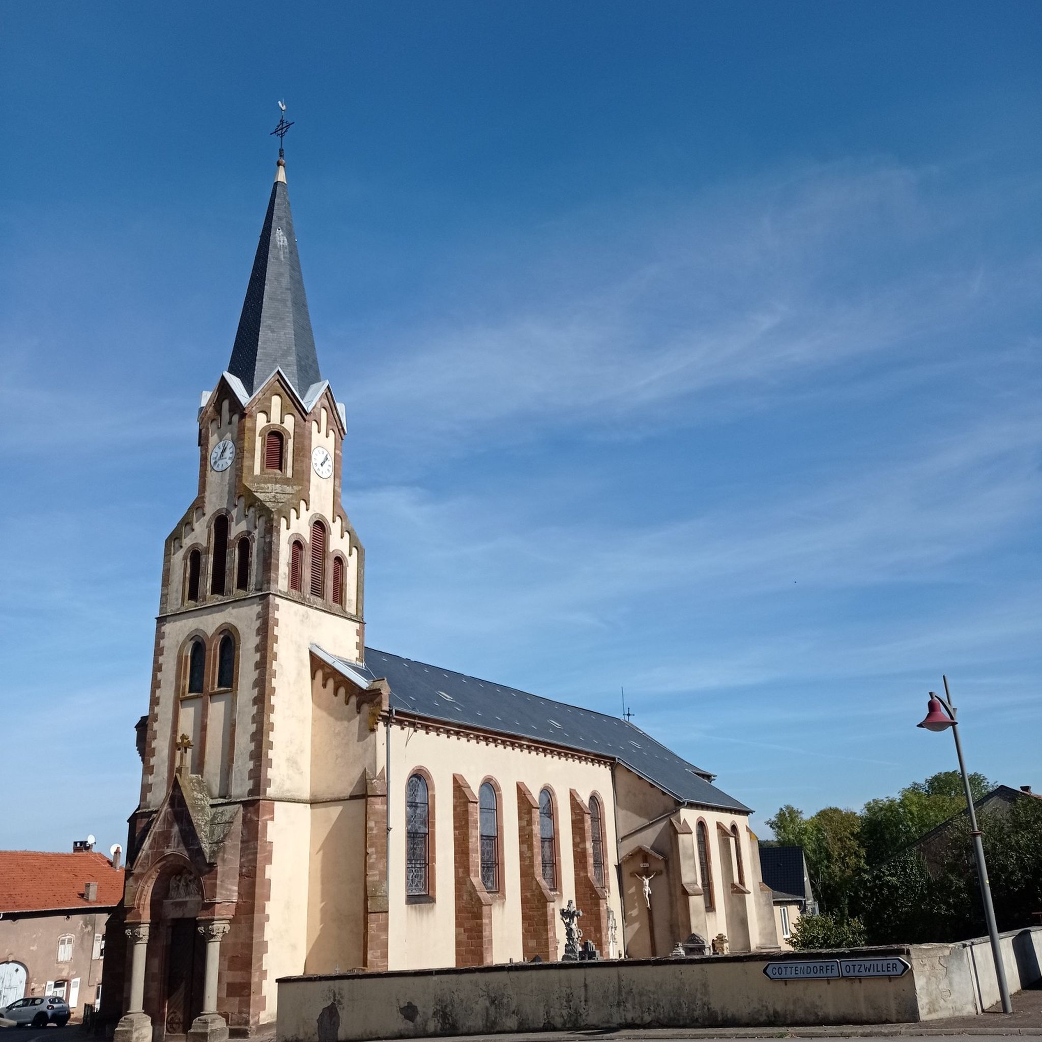

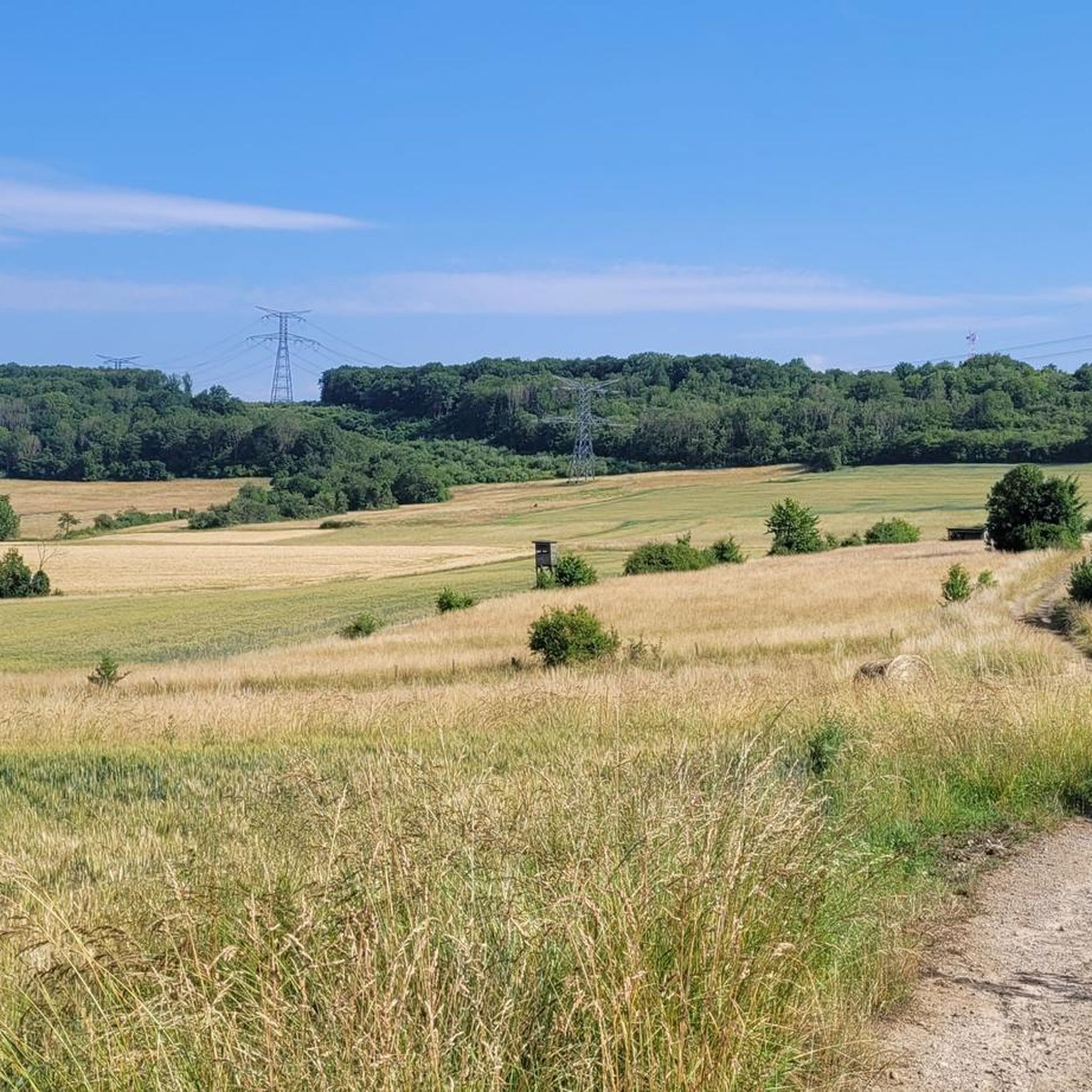

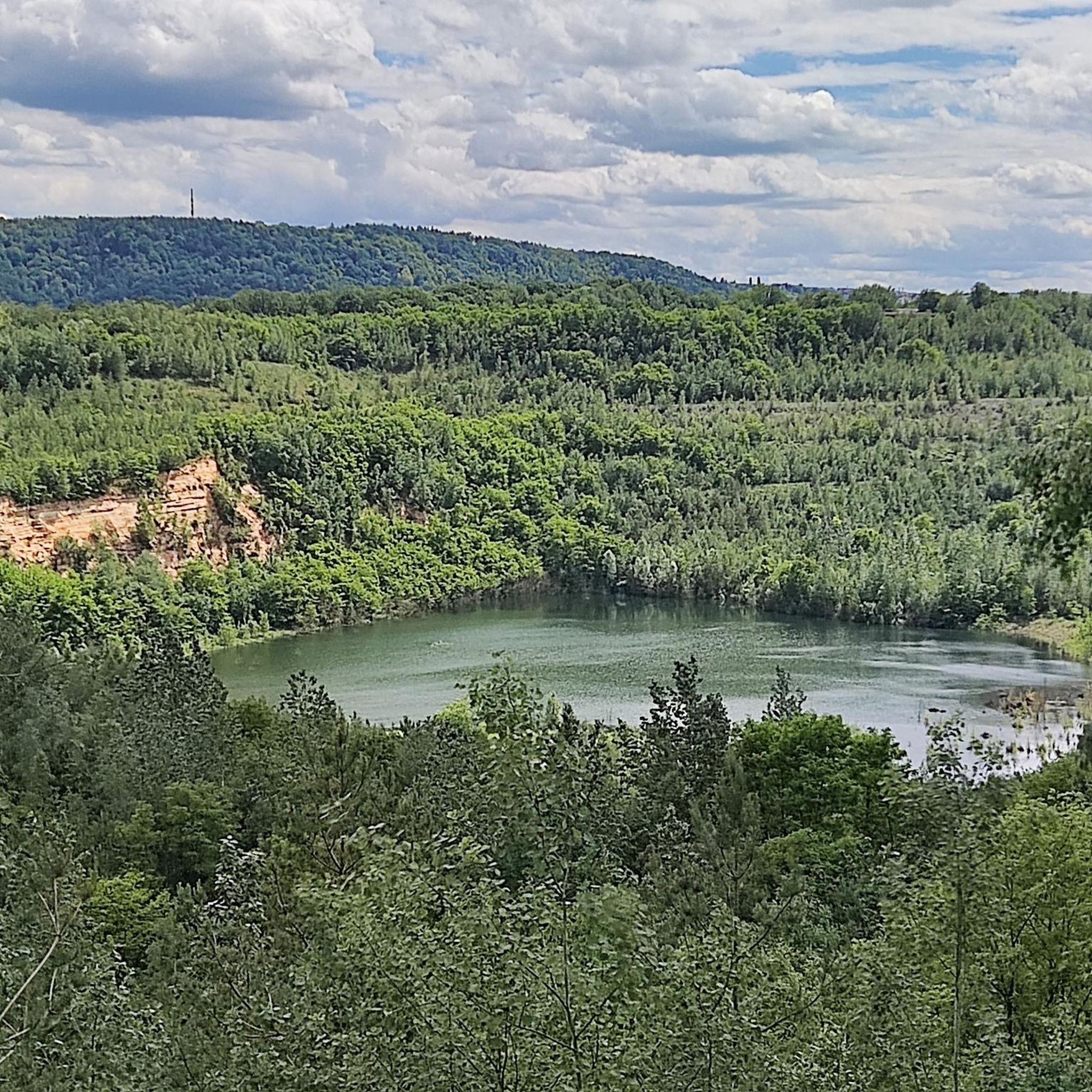
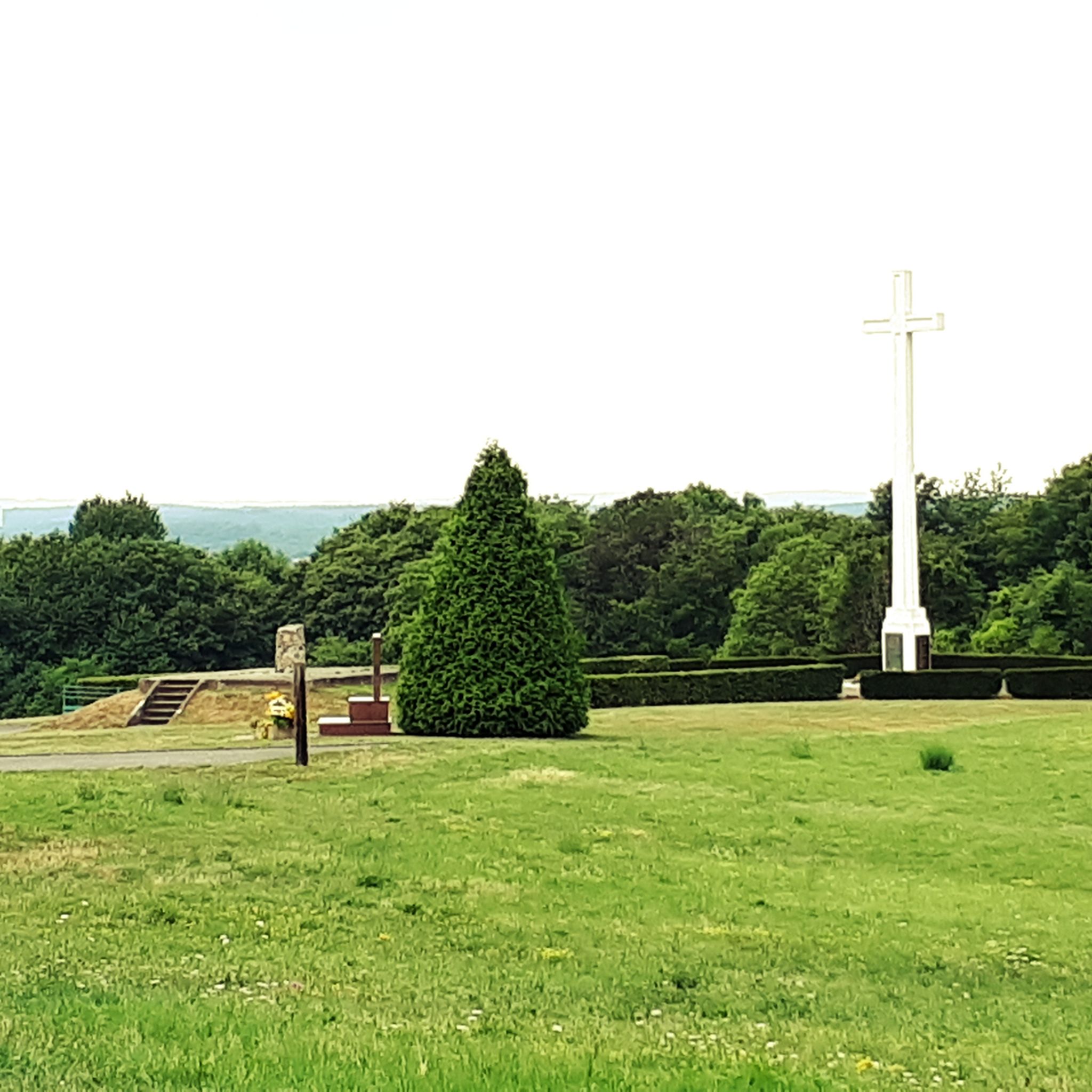


Other adventures around Forbach-Bolchen


Tips from the Community

When we see a monument like this, which we also encounter here in Spicheren, we are accustomed to thinking first of the two world wars that shook Europe in the first half of the 20th century. However, the history of the memorial located on this site goes back several decades: It commemorates the victims of the 1870/71 war waged by France against Germany. France's military defeat at the hands of the forces of the North German Confederation (led by Prussia), with the participation of the southern German states, led directly to the founding of what was then the German Empire.
0
0

The transmitter hall of the Europasender (Sender Europa 1) was built in 1954 in Überherrn and has the shape of an opened scallop shell.
1
0
The Cross of Lorraine (also called the double cross or Anjou cross) is a cross with two crossbars of equal length and has been a symbol of the Duchy of Lorraine since the 15th century.
1
0
Great stream that flows into the Ihner Weiher.
1
0
Idyllic pond complex with fishing hut of ASV Ihn-Leidingen and the dream loop Grenzblickweg trail running there.
1
0
The 7km hike, which is signposted with the European Star-Spangled Banner and partially follows the longer "Beruser Tafeltour," leads on both sides of the German-French border along gravel paths over the rounded ridges of the Saargau region, offering beautiful views that are slightly hazy in autumn, and along pleasant paths through wooded sections. Highlights include the Europa transmitter with its broadcasting hall and six transmission masts (not open to the public), the Oranna Chapel, a Marian grotto in Berviller, and the Europa Monument.
3
0
The border view windows represent the boundlessness of the place - not only in terms of its relationship with its French neighbors, but also in terms of the magnificent panoramas that await guests when they look through the beautiful windows.
1
0

A very idyllic place
0
0
Frequently Asked Questions
How many hiking trails are available in Forbach-Bolchen?
The Forbach-Bolchen region offers a vast network of over 850 hiking trails. These routes traverse diverse landscapes, from dense forests to scenic river valleys and panoramic plateaus, providing options for various preferences and skill levels.
Are there easy hiking options suitable for beginners or families?
Yes, Forbach-Bolchen has numerous easy hiking options. Over 350 trails are classified as easy, perfect for beginners or families. An example is the Pond in Barrois Quarry – Barrois Quarry loop from Naßweiler, an easy 3-mile (4.9 km) route that takes about 1 hour 16 minutes to complete. The region's diverse paths ensure a pleasant experience for all.
What kind of landscapes can I expect to see while hiking in Forbach-Bolchen?
Hikers in Forbach-Bolchen can expect a rich variety of landscapes. The region is characterized by extensive forests like the Forbach Forest, deeply cut river valleys such as the Murg Valley, and elevated plateaus offering expansive views. You'll encounter green hills, picturesque countryside, and trails along rivers like the Saar and Rosselle.
Are there any circular hiking routes in the area?
Yes, many of the trails in Forbach-Bolchen are designed as circular routes, allowing you to start and end at the same point. A popular example is the Chemin de l'Edelweiss and the American military cemetery — loop from Saint-Avold, a moderate 7.4-mile (11.9 km) path that combines natural beauty with historical sites.
Can I bring my dog on the trails in Forbach-Bolchen?
Generally, dogs are welcome on hiking trails in the Forbach-Bolchen region. It's always recommended to keep your dog on a leash, especially in nature reserves or areas with livestock, and to carry water for them. The varied terrain and forest paths make it a great area for walks with your canine companion.
What historical sites or landmarks can I explore on a hike?
The region is rich in history. You can explore sites like the Spicheren Memorial and Europastein, which commemorates the Battle of Spicheren. The Celtic Farmstead Reconstruction offers an educational hike, particularly suitable for families, where you can learn about the history of the Druids. The Chemin de l'Edelweiss and the American military cemetery — loop from Saint-Avold also incorporates historical elements.
Are there any trails with good panoramic viewpoints?
Absolutely. The Hunnenberg Plateau offers remarkable panoramic views of the Warndt forest and the Lorraine plateau. You can also find a Panoramic Platform at Barrois Quarry, which provides great vistas and access to nearby trails. Many routes, such as the View of the Border Window – Leidingen Border Street loop from Heining-lès-Bouzonville, lead through elevated terrain with expansive views.
Where can I find a place to eat or stay overnight near the trails?
Forbach-Bolchen offers options for refreshments and accommodation. You can find restaurants like Woll Restaurant, Spicheren, which is integrated into a hiking route. For overnight stays, there are huts and chalets such as Le Glück Auf Lodge or Chalet du Chemin, providing a cozy stop for hikers.
What do other hikers say about the trails in Forbach-Bolchen?
The trails in Forbach-Bolchen are highly rated by the komoot community, with an average score of 4.5 stars from over 2,300 reviews. Hikers often praise the well-marked paths, the diverse natural beauty, and the combination of serene forest walks with interesting historical sites and panoramic views.
Are there longer, more challenging hikes for experienced hikers?
Yes, for experienced hikers seeking a challenge, Forbach-Bolchen offers nearly 500 moderate to difficult routes. These trails often feature more significant elevation changes and cover longer distances. An example is the View of the Saarpolygon – St. Oranna Pilgrimage Chapel loop from Berviller-en-Moselle, a moderate 7.2-mile (11.6 km) route with over 680 feet (200 m) of elevation gain.
What is the best time of year to go hiking in Forbach-Bolchen?
The Forbach-Bolchen region is enjoyable for hiking throughout much of the year. Spring and autumn offer pleasant temperatures and beautiful scenery with blooming flowers or vibrant fall foliage. Summer is also great, especially for shaded forest trails. Even winter can be appealing for crisp walks, though some paths might be slippery.
Are there any specific natural features to look out for?
Beyond the extensive forests and river valleys, keep an eye out for the unique geological formations around the Barrois Quarry. The region's position in the upper Murg valley also means you'll encounter steep hills and a deeply cut river, creating dramatic natural scenery. The Forêt de Forbach itself is a significant natural feature.
How can I access the trailheads, particularly regarding parking or public transport?
While specific parking details vary by trailhead, many popular starting points for hikes in Forbach-Bolchen offer designated parking areas. For public transport, it's advisable to check local bus or train schedules for connections to towns like Forbach, Spicheren, or Freyming-Merlebach, from which many trails are accessible. Planning your route in advance on komoot can help identify convenient access points.
Most popular routes around Forbach-Bolchen
Most popular attractions around Forbach-Bolchen

Get inspired with the komoot mobile app


Didn’t find what you were looking for?
Check out more Hikes throughout Forbach-Bolchen below and find the perfect route in your destination.
Explore more
Browse the best Hikes in other regions.
