The best running trails around Rochefort
4.3
(794)
45,570
runners
1,672
runs
Jogging routes around Rochefort offer diverse terrain, from coastal paths to marshlands and riverside trails. The region is characterized by its Atlantic coastline, islands like Île d'Aix and Île Madame, and the Charente river, providing varied landscapes for running. Flat marsh areas and dedicated trails through forests and along the river offer accessible options for different fitness levels.
Best jogging routes around Rochefort
- The most popular jogging route is Tour of the Ile d'Aix, a 4.8 miles (7.7 km)…
Last updated: October 10, 2026
4.9
(7)
260
runners
7.67km
00:52
20m
20m
Moderate run. Good fitness required. Mostly paved surfaces. Suitable for all skill levels.
4.0
(1)
107
runners
6.24km
00:42
10m
10m
Moderate run. Good fitness required. Mostly accessible paths. Some sure footedness required.

4.7
(3)
48
runners
8.26km
00:57
70m
70m
Moderate run. Good fitness required. Mostly paved surfaces. Suitable for all skill levels.
40
runners
17.3km
01:56
30m
30m
Hard run. Very good fitness required. Mostly paved surfaces. Suitable for all skill levels.
4.7
(3)
29
runners
8.14km
00:53
20m
20m
Jog the 5.1-mile (8.1 km) Fouras – loop, a moderate coastal route offering maritime views, historical sites, and unique fishing huts.
4.0
(2)
13
runners
11.8km
01:25
70m
70m
Jog this moderate 7.3-mile loop through Coubre State Forest and along Embellie Beach, offering forest shade and Atlantic coastal views.
3
runners
4.40km
00:28
0m
0m
Easy run. Great for any fitness level. Mostly paved surfaces. Suitable for all skill levels.
5.0
(6)
1,374
runners
16.1km
01:43
80m
80m
Hard run. Very good fitness required. Mostly paved surfaces. Suitable for all skill levels.
4.4
(9)
796
runners
10.3km
01:06
50m
50m
Moderate run. Good fitness required. Mostly paved surfaces. Suitable for all skill levels.
4.5
(6)
951
runners
Hard run. Very good fitness required. Mostly paved surfaces. Suitable for all skill levels.
Get access to more routes and recommendations from other explorers.
Already have an account?
Our route recommendations are based on thousands of hikes, rides, and runs completed by other people on komoot.
Start today with a free account
Your next adventure awaits.
Popular around Rochefort
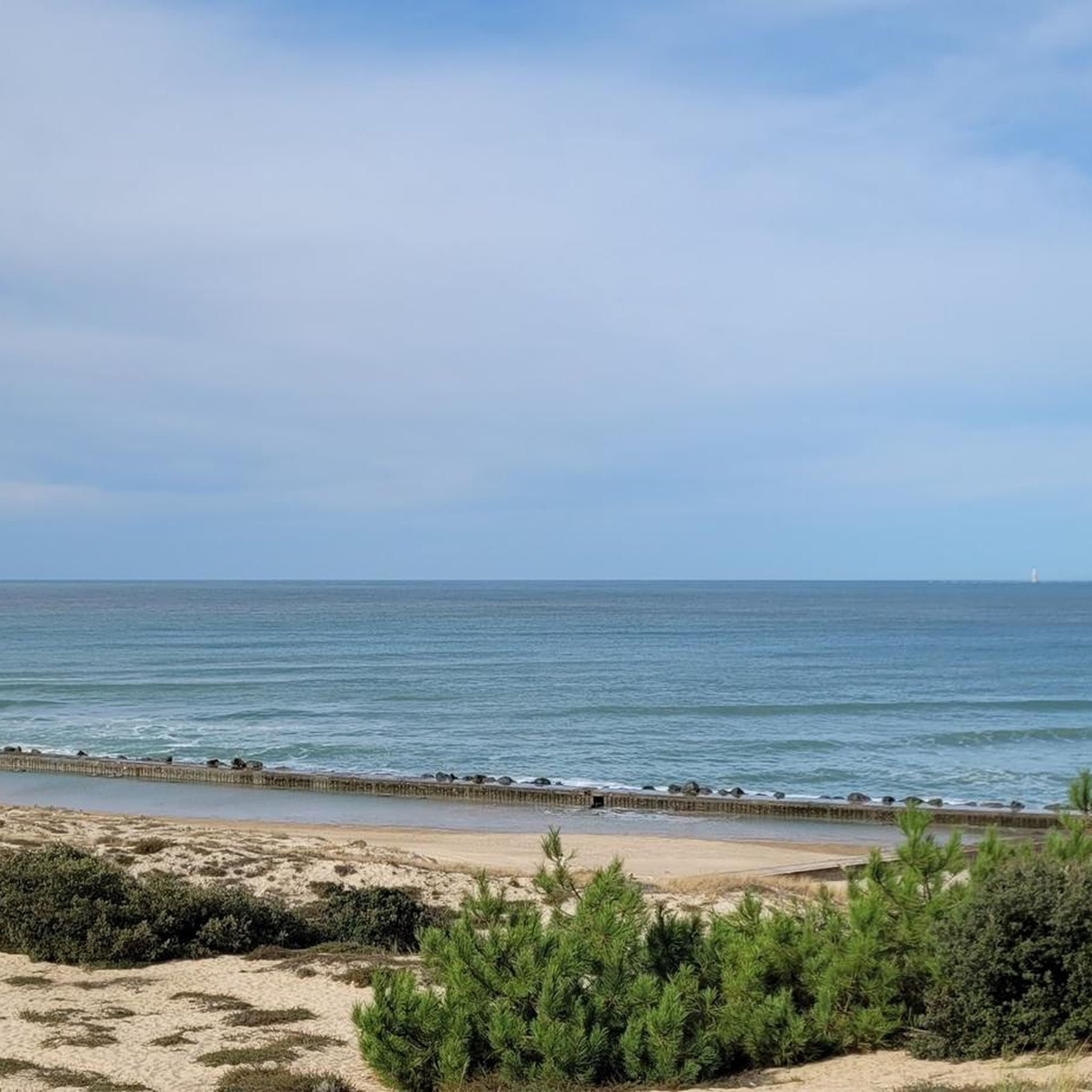
Running Trails around Royan
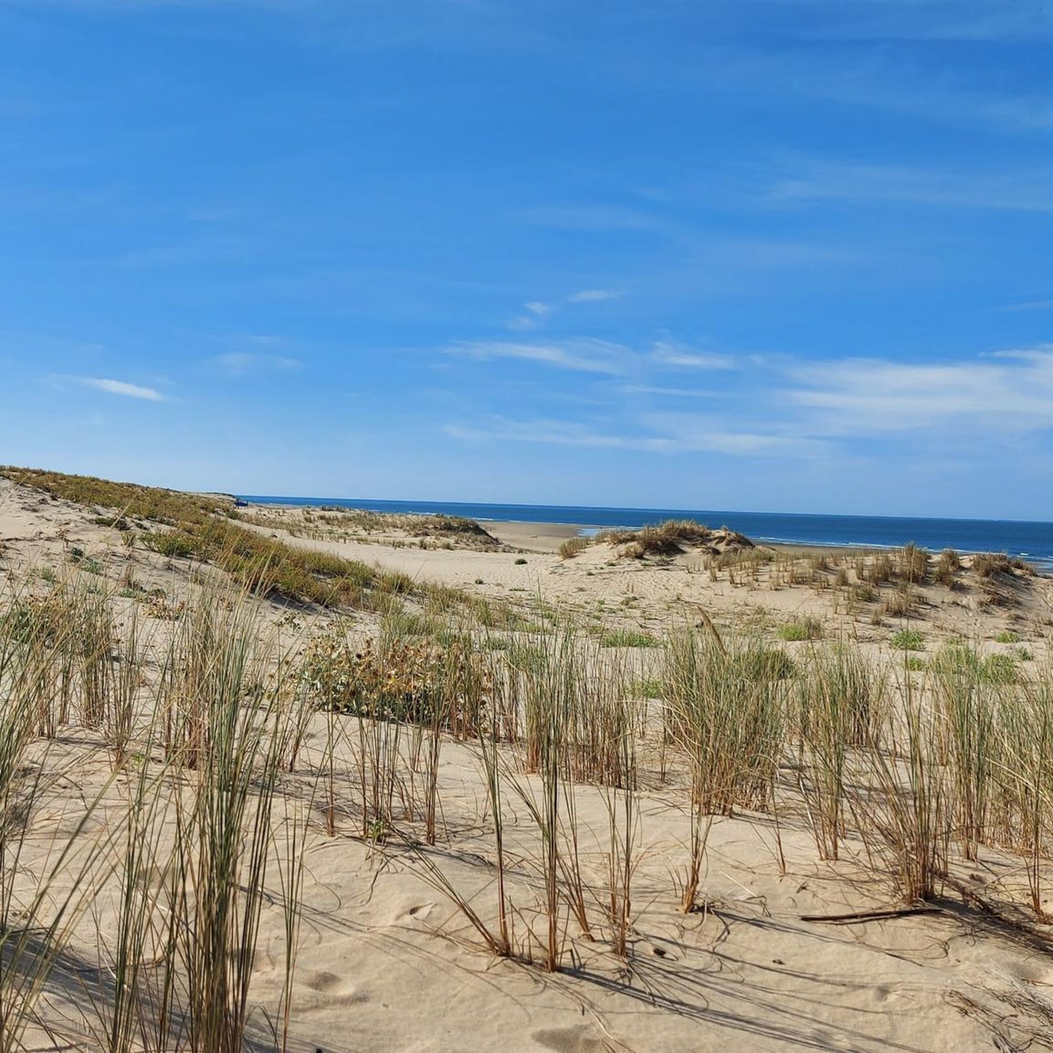
Running Trails around La Tremblade
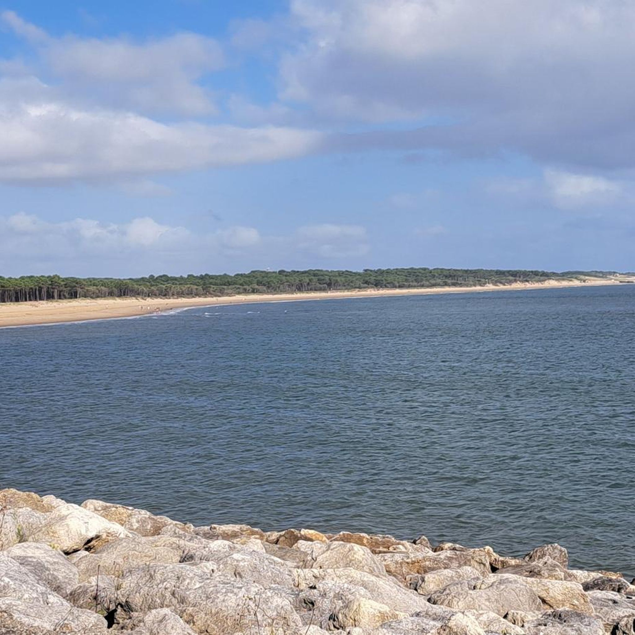
Running Trails around Les Mathes
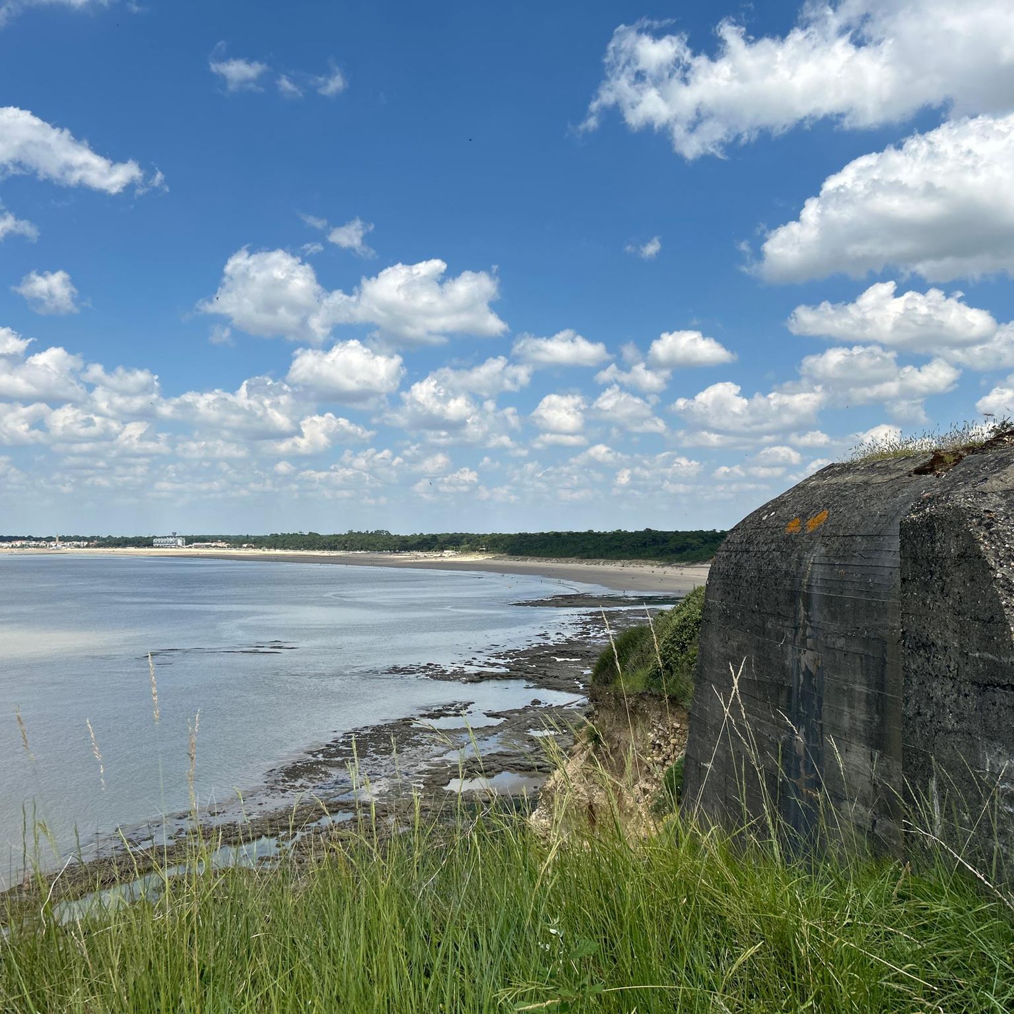
Running Trails around Saint-Georges-De-Didonne
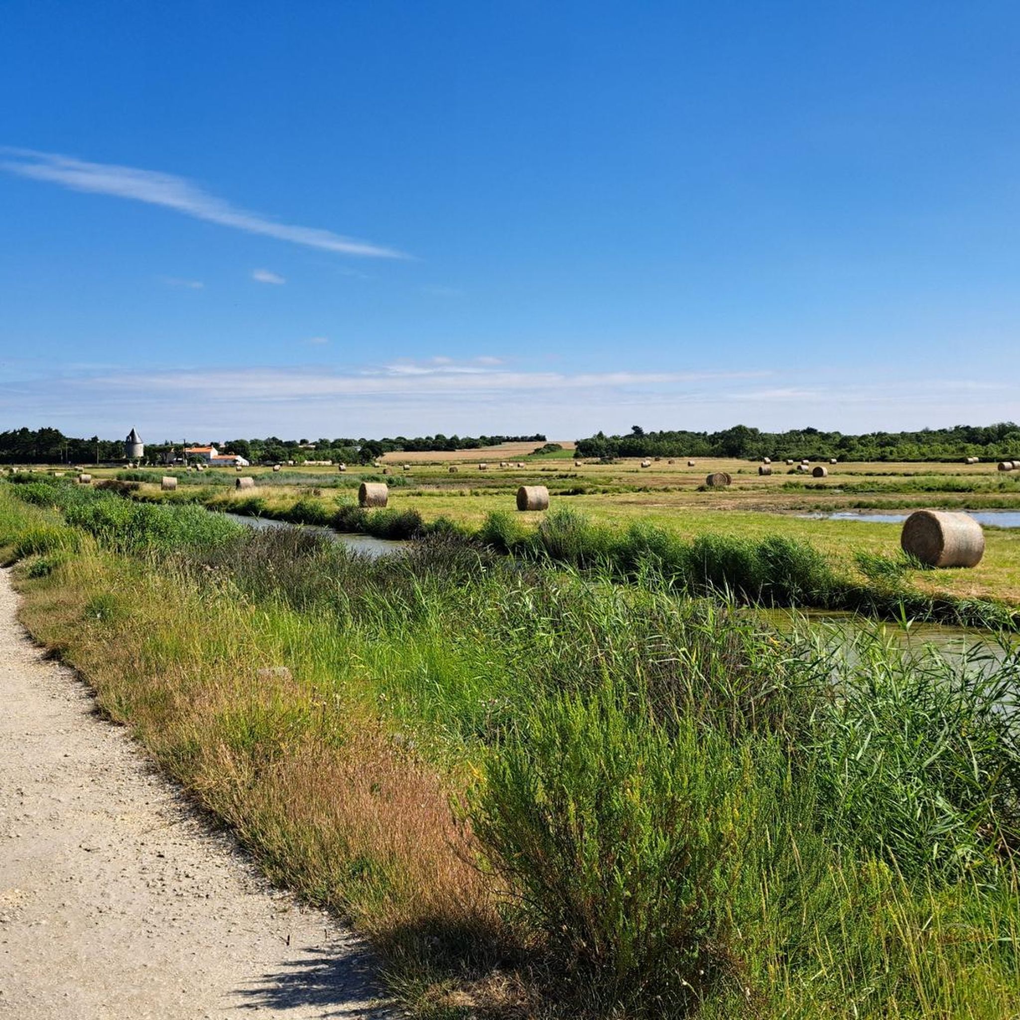
Running Trails around Fouras
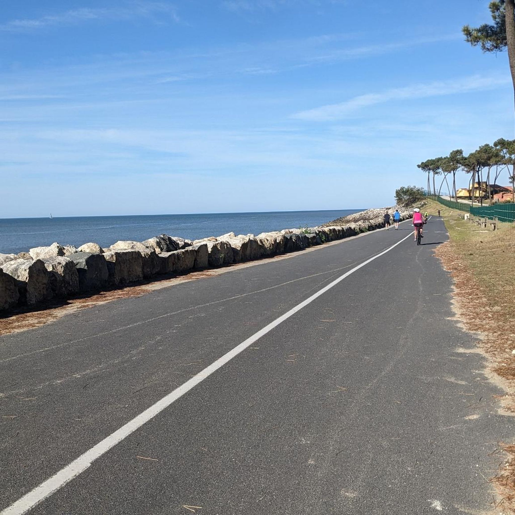
Running Trails around Saint-Palais-Sur-Mer
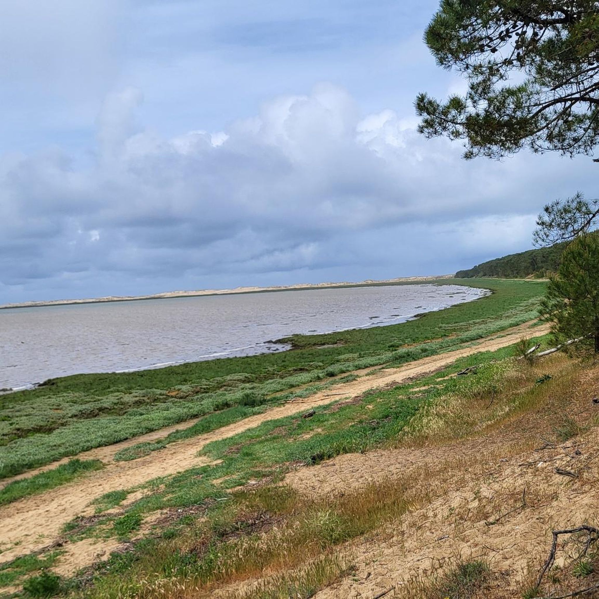
Running Trails around Forêt domaniale de la Coubre
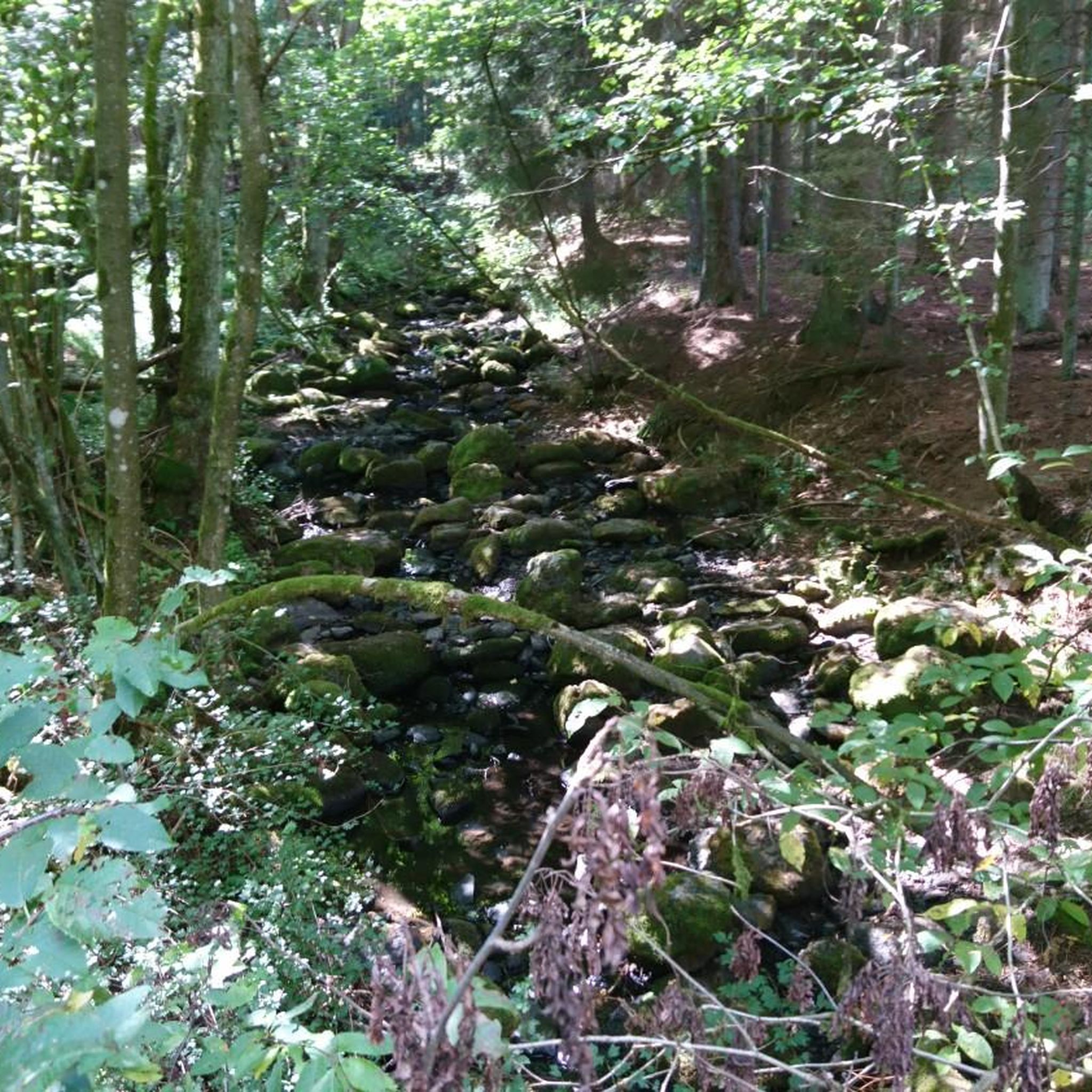
Running Trails around Vaux-Sur-Mer
Running Trails in Réserve Naturelle Du Marais D'Yves
Running Trails around Saint-Hippolyte
Other adventures around Rochefort


Tips from the Community

The carrelets are today part of the emblematic images of Royan and the Côte de Beauté. However, contrary to what the current landscape might suggest, the large pontoons with huts are relatively recent. A much older fishing The word carrelet originally designates the square net used for very simple fishing. Fishing with a carrelet has been attested in the region since at least the 18th century. At that time, these were not yet the elegant huts on stilts that we know today. The fisherman used a square frame with a net, which he lowered into the water and then quickly pulled up. This fishing was particularly practiced by women and could provide a dietary supplement. The turning point of 1900: the birth of the pontoons It was around 1900 that the carrelet began to change its nature. With the development of sea bathing and seaside tourism in Royan, fixed structures appeared on the quays, rocks, and cliffs. In Royan, they can be found in particular on the rocks of Pigeonnier and at Pontaillac. Initially, they were essentially simple masts equipped with a winch. The users were often merchants, liberal professions, retirees, or wealthy owners rather than professional fishermen. A particularly interesting old photograph shows the conche de Pontaillac in 1918, with fishing installations. The carrelets become leisure spots Between the two wars, and especially after 1945, the carrelets multiplied. The generalization of paid holidays, the increase in free time, and the development of popular holidays favored their transformation into real small holiday resorts. The installations gradually became more substantial: cliff → footbridge → pontoon → hut → mast and winch → square net Owners often built their own installations with wood or salvaged materials. In the 1950s, this practice experienced a real boom around Royan. Why are there so many carrelets around Royan? The relief of the Côte de Beauté is particularly well-suited for this. They can be found in particular: * in Royan, at the Pointe du Chay, at Pigeonnier and at Pontaillac; * in Vaux-sur-Mer, particularly towards the conche de Gilet; * in Saint-Palais-sur-Mer, along the headlands of Terre-Nègre and Perrières, towards the Pont du Diable and the Concié; * in Saint-Georges-de-Didonne, particularly towards Suzac; * in Meschers-sur-Gironde, along the cliffs and coves. The carrelet is indeed identified today as a viewpoint in Royan. The 1999 storm: a catastrophe The carrelets are extremely vulnerable to storms. The storms of 1996 and especially 1999 destroyed a very large part of the installations in Charente-Maritime. On the coasts of Aunis and Saintonge, nearly 90% of the approximately 700 carrelets had been destroyed during the January 2000 storm. They were then gradually rebuilt, with the help of owners and public schemes. Today: a heritage of Royan The carrelet is therefore not just a fishing equipment. It has become an element of the maritime and landscape heritage of Royan. The Musée du patrimoine du Pays Royannais classifies it as 20th-century maritime heritage and points out that the current installations are essentially the result of the development of this practice in the 20th century. An interesting historical point: the carrelets that we spontaneously associate with Royan today are therefore mainly the result of the evolution of seaside tourism after 1900 and their extraordinary development after 1945, and not the intact survival of a very old tradition of fishing huts.
0
0
📍 Introducing the Gilet Cove The Gilet Cove is a small, natural beach on the oceanfront, located on Boulevard de la Conche de Gilet / Boulevard de la Falaise, in the town of Vaux-sur-Mer, just before Royan. 🌿 It's a sheltered, rocky cove, appreciated for its tranquility and more intimate setting compared to the larger urban beaches nearby. 🏖️ At high tide, the sea can completely cover this small beach, making the space very limited; at low tide, you can enjoy a patch of sand and rocks for relaxing or swimming. 🧭 Features & Tips 📍 Type of place: small, unsupervised beach, nestled among the rocks with sand and cliffs. 🏖️ Tides: access is best at low tide — at high tide the beach can disappear underwater. 🐶 Animals: prohibited from April 1st to September 30th (subject to municipal regulations). 👣 Access: via stairs from the boulevard above, surrounded by villas with sea views. 🚫 Lifeguard services: no lifeguard station or marked services. 📍 Location La Conche de Gilet is often considered the last small beach in Vaux-sur-Mer before reaching Royan/Pontaillac when following the coastline from Saint-Palais-sur-Mer.
0
0
🏖️ General Overview Chay Beach is a family-friendly, fine sandy beach located in Royan (Charente-Maritime), on the Côte d’Argent promenade between Pigeonnier Beach and Pointe du Chay. It stretches for approximately 200 meters and boasts a pleasant natural setting, with a cove bordered by rocks typical of the Charente coastline. 🏝️ Features • 🌊 Beach type: fine sand, sheltered cove. • 🏄♂️ Atmosphere: relatively calm and family-friendly, ideal for children and vacationers seeking relaxation away from the large urban beaches. • 🐾 Pets: prohibited from April 1st to September 30th. • 🫧 Water quality: excellent (Blue Flag label awarded for 2025). 🧭 Lifeguard and Safety • Swimming is supervised during the season (June to early September), with areas marked by red and yellow flags. • The area is classified as a Category 3 "Supervised Beach" and lifeguards are present during the indicated hours. 🪑 Amenities On-site, you can find: • 🏖️ Sun loungers, parasols, and mattresses for rent. • 🚿 Foot rinse and public restrooms. • 📶 Wi-Fi access, first aid station, and an area accessible to people with reduced mobility (assistance may be required depending on the slope). • 🍴 Beachfront restaurant ("Le Chay" bar-restaurant with sea views). 🚶♂️ Atmosphere and Activities • 🎈 Ideal for families and leisurely strolls. • 🌞 People come here for swimming, playing on the sand, flying kites, or simply relaxing by the ocean. • 🅿️ Parking is available nearby, and the beach is easily accessible on foot or by bike from Royan town center in just a few minutes. 🧭 Practical Tips • 📆 Best time to visit: summer for supervised swimming and full services, but also during the off-season for a more peaceful atmosphere. • ☀️ Arriving early in the morning makes parking easier during peak season. • 🐶 Dogs are not allowed during the summer season; check the signs on site during the off-season.
0
0

Walk-in lighthouse with website for reservations. https://www.chassiron.net/
1
0

don't leave too quickly
0
0


2025 Hours and Rates From January 1st to March 31st: 10:30 a.m. to 5:00 p.m. (last boarding at 4:30 p.m.) From April 1st to June 30th: 10:00 a.m. to 7:00 p.m. (last boarding at 6:30 p.m.) From July 1st to August 31st: 9:30 a.m. to 8:30 p.m. (last boarding at 8:00 p.m.) From September 1st to 30th: 10:00 a.m. to 7:00 p.m. (last boarding at 6:30 p.m.) From October 1st to December 31st (except All Saints' Day holiday): 10:30 a.m. to 5:00 p.m. (last boarding at 4:30 p.m.) From October 18th to November 2nd, 2025 (All Saints' Day holiday): 10:00 a.m. to 5:30 p.m. (last boarding at 5:00 p.m.) Prices Individual Rates Full Rate (13 years and older) = €4.60 Reduced Rate (6 to 12 years) = €3.00 Free Rate (under 6 years and disabled person) Pass Rate = €13.00 (2 full rates + 2 reduced rates) Group Rates (reservation required) Adult Groups (minimum 10 adults) = €4.00 per adult Children's Groups (schools, leisure centers, etc.) = €2.20 per child
0
0
Frequently Asked Questions
How many running routes are available in Rochefort?
Rochefort offers a wide variety of running routes, with over 150 trails listed on komoot. These routes cater to different preferences, ranging from easy, flat paths to more challenging distances.
Are there easy running routes suitable for beginners in Rochefort?
Yes, Rochefort has numerous easy running options perfect for beginners. The region's flat marshlands and riverside paths along the Charente provide accessible terrain. For example, the Pass Enet and the Fort d'Enet route is an easy 4.4 km trail.
What kind of terrain can I expect on Rochefort's running trails?
Rochefort's running trails offer diverse terrain. You'll find coastal paths with refreshing sea breezes, flat marshlands ideal for bird watching, and riverside routes along the Charente. Some trails also lead through forests like the Forêt de Rochefort, providing a mix of paved surfaces and accessible natural paths.
Can I bring my dog on the running routes in Rochefort?
Many outdoor areas in Rochefort, including some running trails, are dog-friendly. However, it's always recommended to check local signage or specific route details on komoot for any restrictions, especially in nature reserves like the Moëze-Oléron or Yves marsh, where wildlife protection is a priority. Always keep your dog on a leash and clean up after them.
Are there family-friendly jogging options in Rochefort?
Absolutely. The flat and scenic paths along the coast, through marshlands, and in parks like the Parc de la Marine are excellent for family jogs. These areas often provide easy terrain and beautiful views, making them enjoyable for all ages. Consider routes that are shorter and have minimal elevation gain for younger family members.
What are some scenic viewpoints or landmarks I can see while running in Rochefort?
Rochefort's running routes offer many scenic spots. You can enjoy coastal views on routes like the Tour of the Ile d'Aix or the Madame Island - loop. Along the Charente river, you might spot landmarks such as the Rochefort Transporter Bridge. The Chassiron lighthouse on Île d'Oléron is another notable sight on longer routes like Pointe de Chassiron – loop.
Are there any circular running routes around Rochefort?
Yes, many of Rochefort's running trails are designed as loops, offering convenient starting and ending points. Popular circular routes include the Madame Island - loop, the Saint-Georges-de-Didonne – loop, and the Fort Lapointe and Cabane Marsh Loop.
What do other runners enjoy most about the routes in Rochefort?
The running routes in Rochefort are highly rated by the komoot community, with an average score of 4.3 stars from over 550 reviews. Runners often praise the diverse coastal and marshland scenery, the well-maintained paths, and the variety of options for different fitness levels. The opportunity to explore islands and historical sites while running is also frequently highlighted.
When is the best time of year to go jogging in Rochefort?
Rochefort is pleasant for jogging for much of the year. Spring and autumn offer mild temperatures and beautiful scenery, making them ideal. Summer can be warm, but coastal routes provide refreshing sea breezes. Even winter can be suitable, especially on clear days, with fewer crowds and unique atmospheric views of the marshlands and coast.
Are there options for longer distance running in the Rochefort region?
For those seeking longer runs, Rochefort and its surroundings offer several routes. Trails like the Pointe de Chassiron – loop on the Île d'Oléron (17.3 km) or the Nice view westwards – The Estuary Park loop from Domaine des Fées (33.1 km) provide significant distances with varied landscapes.
Can I find routes that pass by cafes or places to rest?
Many running routes in Rochefort, especially those near towns, villages, or popular coastal areas, will have cafes, restaurants, or picnic spots nearby. For instance, routes around Île d'Aix or Saint-Georges-de-Didonne offer opportunities to stop for refreshments. It's a good idea to check the route details on komoot for points of interest along the way.
Are there opportunities to see wildlife while jogging in Rochefort?
Yes, Rochefort's marshlands and nature reserves are rich in biodiversity, offering excellent opportunities for wildlife observation. Areas like the Rochefort Ocean marshes, the Moëze-Oléron nature reserve, and the Yves marsh nature reserve are home to numerous bird species. The Lagooning Station in Rochefort is also a unique habitat for thousands of waterbirds, providing pleasant walks and wildlife viewing.
Most popular routes around Rochefort
Most popular attractions around Rochefort

Get inspired with the komoot mobile app


Didn’t find what you were looking for?
Check out more Running Trails & Routes throughout Rochefort below and find the perfect route in your destination.
Explore more
Browse the best Running Trails & Routes in other regions.
