The best road cycling routes around Meienheim
4.4
(532)
13,512
riders
155
rides
Road cycling routes around Meienheim are primarily situated within the Alsace region of France, characterized by a diverse landscape ranging from the Rhine plain to the foothills of the Vosges mountains. The terrain offers a mix of flat agricultural lands, rolling vineyards, and significant mountain passes. Road cyclists can expect varied elevations, from gentle gradients through historic villages to challenging ascents in the higher elevations. This area provides a comprehensive road cycling experience with routes catering to different fitness levels.
…Last updated: November 5, 2026
4.8
(5)
85
riders
73.3km
04:15
1,720m
1,720m
Hard road ride. Very good fitness required. Mostly well-paved surfaces and easy to ride.
4.2
(5)
71
riders
55.6km
02:19
260m
260m
Moderate road ride. Good fitness required. Some segments of this route may be unpaved and difficult to ride.

4.4
(7)
79
riders
52.0km
02:44
680m
680m
Moderate road ride. Good fitness required. Some segments of this route may be unpaved and difficult to ride.
41
riders
119km
06:56
2,460m
2,460m
Hard road ride. Very good fitness required. Some segments of this route may be unpaved and difficult to ride.
17
riders
50.6km
02:07
220m
220m
Moderate road ride. Good fitness required. Some segments of this route may be unpaved and difficult to ride.
Get access to more routes and recommendations from other explorers.
Already have an account?
Our route recommendations are based on thousands of hikes, rides, and runs completed by other people on komoot.
Start today with a free account
Your next adventure awaits.
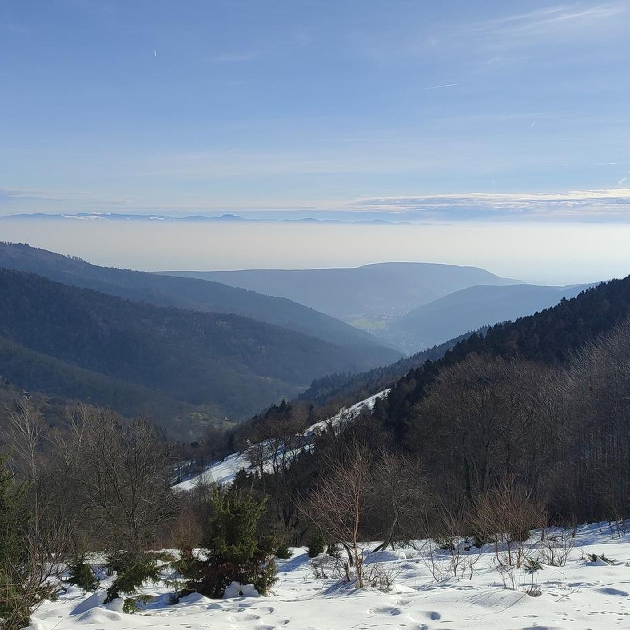
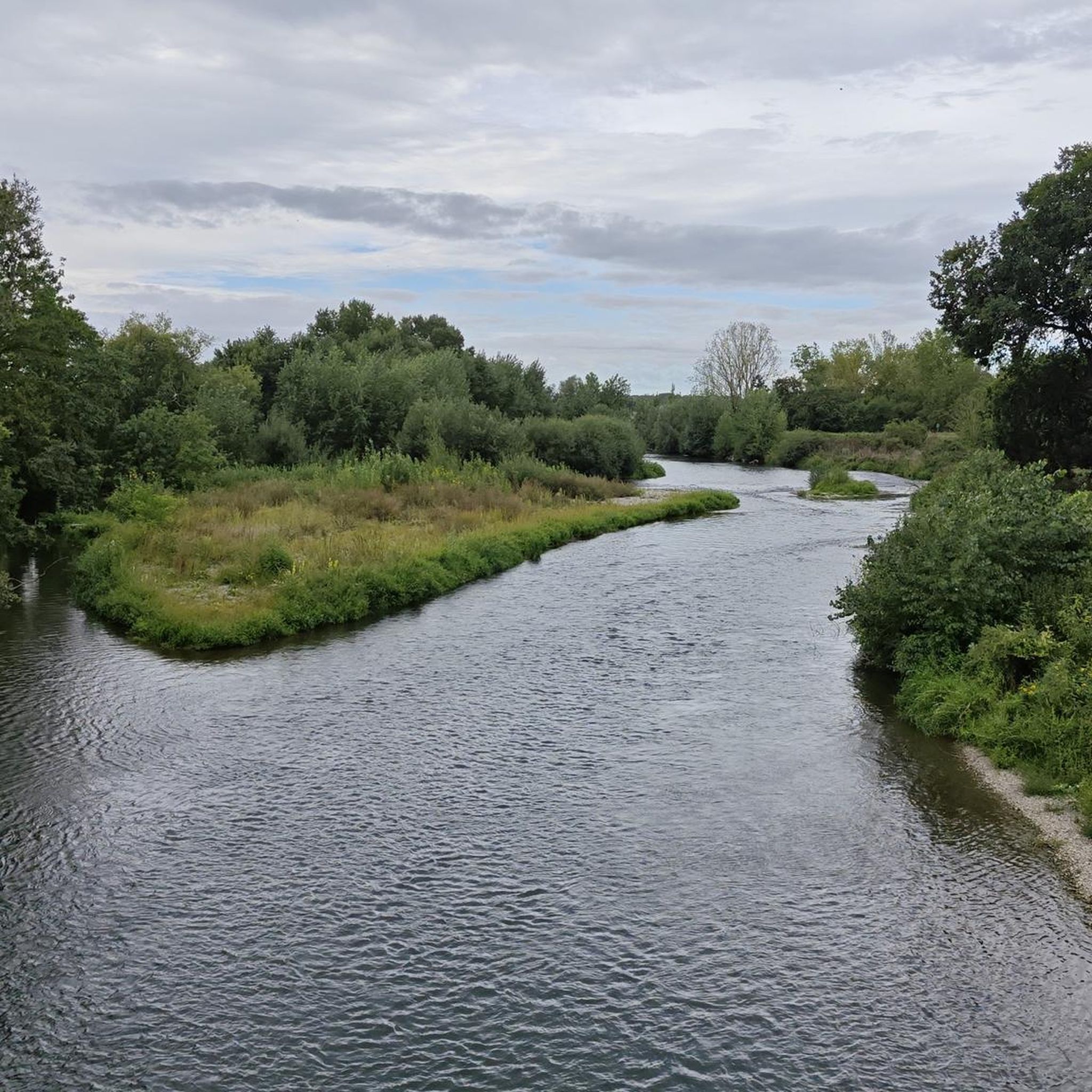
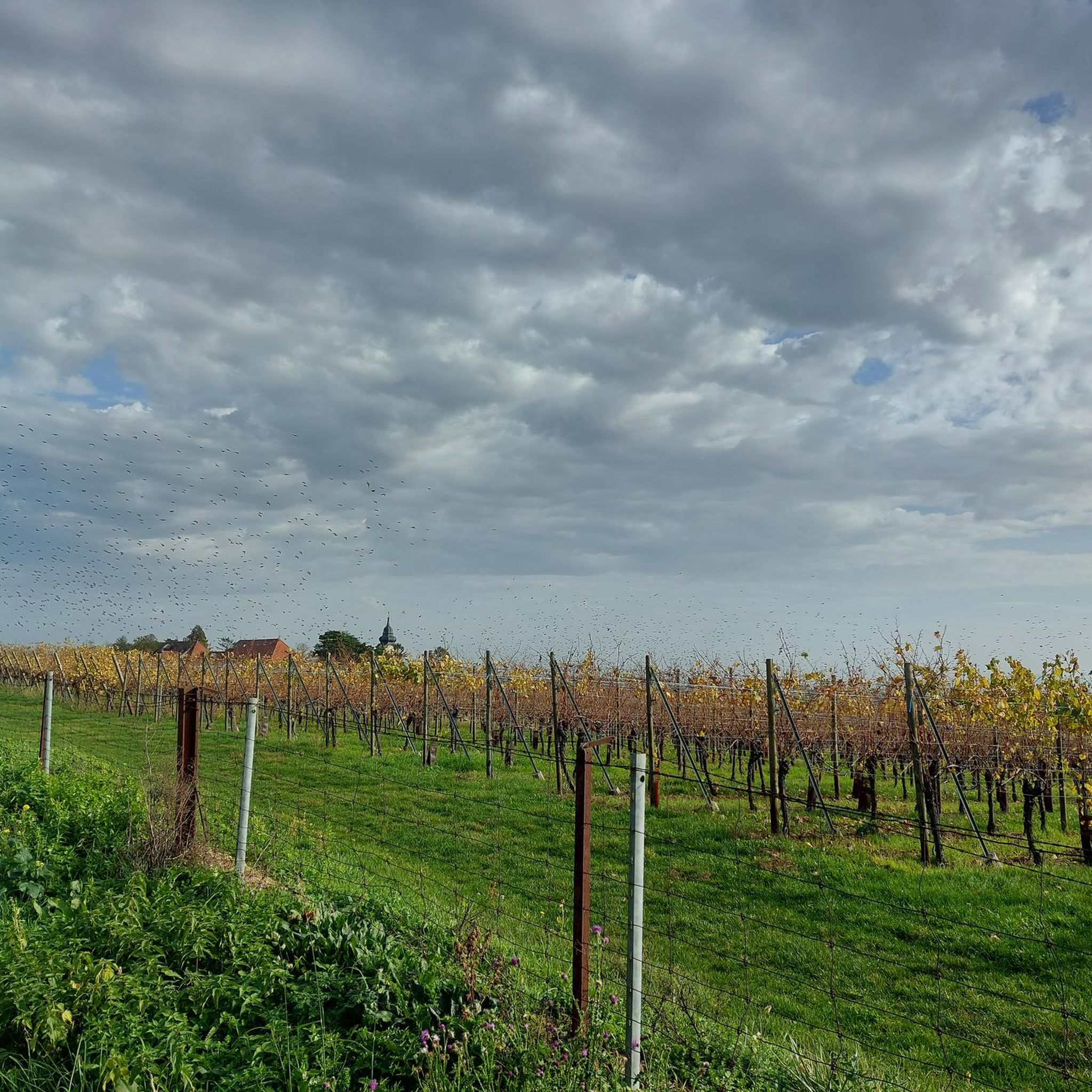
Tips from the Community

The Col du Hunsrück (748 m) is a quiet and wooded pass above Willer-sur-Thur. The steady climb and beautiful nature make this a pleasant classic in the southern Vosges, with connections to both the Thur and Dollervallei valleys.
6
0
When you drive from the Route des Crêtes towards Le Grand Ballon, you pass the Col du Haag (1233 m) almost unnoticed. Yet, this pass marks a special point on the southern flank of the highest mountain in the Vosges. Here, steep roads from the Thurdal leave the wooded slopes and reach the open heights of the massif. From the col, a typical Vosges landscape unfolds with mountain meadows, scattered farms, and sweeping views. The proximity of the Grand Ballon is felt everywhere: the imposing summit towers above the pass and forms the natural goal of the final climbing kilometers. For cyclists, the Col du Haag is mainly known as the point where difficult climbs from the valleys converge before the road continues to rise to the highest point of the Vosges.
6
0

Things get serious from here.
0
0

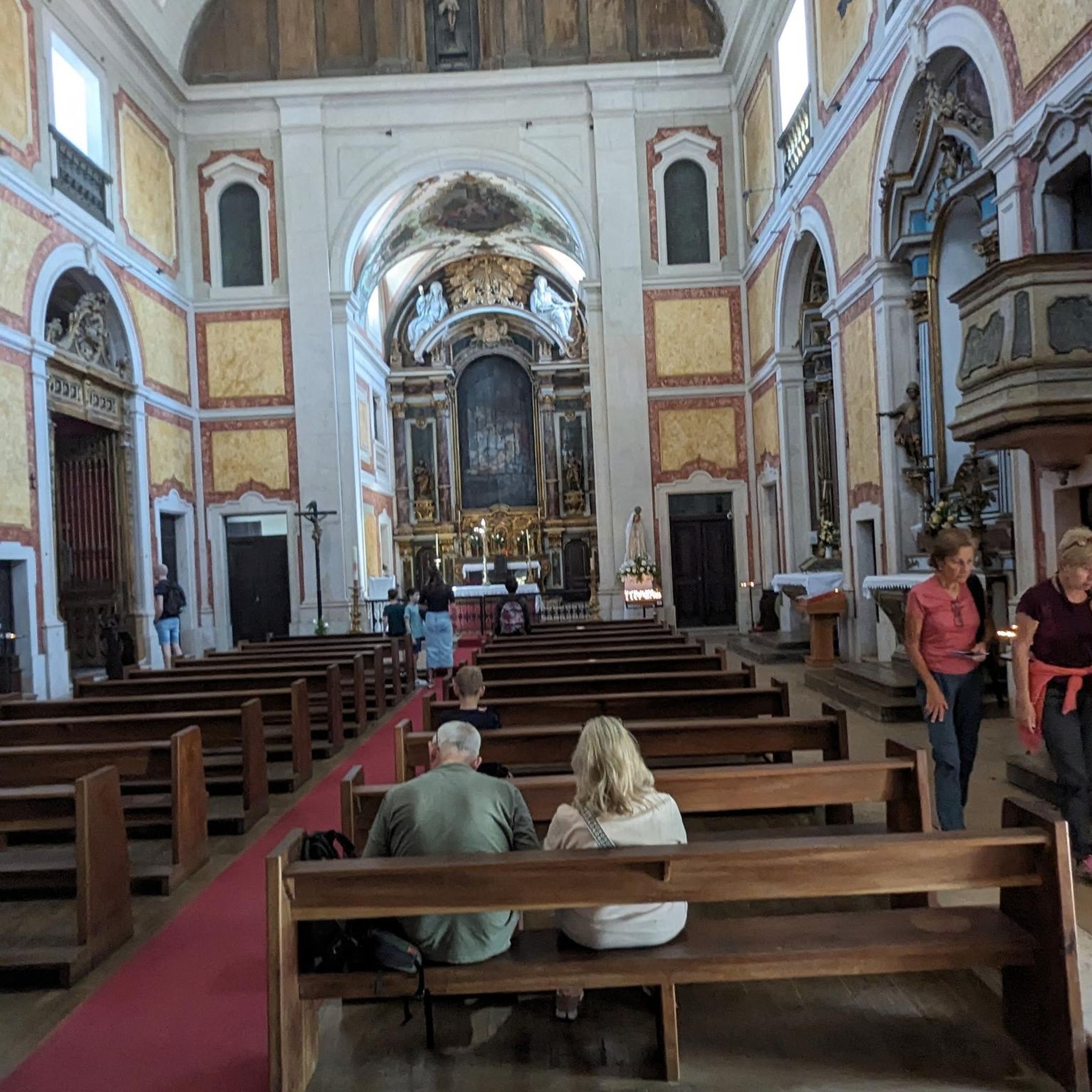
This old chapel was erected after the French Revolution on the old path to Thann and fell into disrepair over time. In 1932, the community decided to rebuild it. The current small building has a simple nave, an open porch, and a small bell tower with a bell. In front of the chapel stands a statue of the Virgin Mary, which underscores the character of the place as a pilgrimage and devotional site. The chapel is dedicated to the "Mother of God of Perpetual Help" and belongs to the typical small religious monuments of southern Alsace.
1
0

And on July 18, 2026, the Tour de France came up here. The finish was then in Le Markstein. The stage was won by Tadej Pogacar. He had attacked on this climb in the last two kilometers and no one could follow him.
2
0

The ascent to the Col du Firstplan from Soultzbach-les-Bains is steady. The road surface is good and occasionally a tuned car whizzes past. There are few lay-bys on the roadside for a short stop, but at the top of the Col there is a picnic area.
0
0

great descent into the valley
0
0

The view is clear.
0
0
Frequently Asked Questions
How many road cycling routes are available around Meienheim?
There are over 140 road cycling routes around Meienheim. These routes offer a diverse range of experiences, from easy rides on flatter terrain to challenging ascents through mountain passes.
What kind of terrain can I expect when road cycling in Meienheim?
The terrain around Meienheim, situated in the Alsace region of France, is highly varied. You can expect a mix of flat agricultural lands in the Rhine plain, rolling vineyards, and significant mountain passes in the foothills of the Vosges mountains. This provides varied elevations, from gentle gradients through historic villages to challenging ascents.
Are there road cycling routes suitable for beginners or families in Meienheim?
Yes, Meienheim offers routes suitable for various fitness levels. There are 38 easy routes and 85 moderate routes available. For example, the Church of Saints Peter and Paul – Ensisheim loop from Merxheim is an easy, mostly flat ride, perfect for those looking for a less strenuous experience.
Are there challenging road cycling routes for experienced cyclists?
Absolutely. For experienced cyclists seeking a challenge, Meienheim offers 17 difficult routes. Routes like the Hundsruck – Bannstein Pass loop from Merxheim, which covers nearly 120 km with significant elevation gain, lead through demanding mountain passes in the Vosges.
What do other road cyclists enjoy most about the routes in Meienheim?
The road cycling routes in Meienheim are highly rated by the komoot community, with an average score of 4.5 stars from over 390 reviews. Cyclists often praise the diverse landscape, which includes historic villages, extensive vineyards, and challenging mountain passes, providing a comprehensive and scenic cycling experience.
Are there loop road cycling routes available around Meienheim?
Yes, many of the road cycling routes around Meienheim are designed as loops, allowing you to start and finish in the same location. Examples include the popular Pinot Bend – Firstplan Pass loop from Merxheim and the scenic A Beautiful Middle Age Village – Rouffach Old Town loop from Merxheim.
What is the best time of year for road cycling in Meienheim?
The Alsace region, where Meienheim is located, generally offers pleasant cycling conditions from spring through autumn. Summer provides warm weather ideal for longer rides, while spring and autumn showcase the blooming landscapes or vibrant fall colors, particularly through the vineyards.
Are there scenic viewpoints along the road cycling routes?
Yes, the routes often provide stunning vistas. You can find highlights such as a Panoramic view from the vineyards and the View of the Vallée Noble, offering picturesque breaks during your ride.
What are some interesting landmarks or attractions to see while road cycling in Meienheim?
Meienheim's routes pass through a region rich in history and natural beauty. You can explore historic settlements like Pfaffenheim, discover the View of the Rodolphe mine, or encounter unique natural monuments like the Langenstein Menhir.
Are there places to stop for refreshments or cafes along the routes?
The Alsace region is known for its charming villages and vineyards. Many routes will take you through or near these villages, offering opportunities to stop at local cafes, bakeries, or wine estates for refreshments and to experience local hospitality.
What are the typical distances and durations for road cycling routes in Meienheim?
Routes vary significantly in length and duration. Easy routes can be as short as 20-30 km, taking around 1.5 to 2 hours. Moderate routes often range from 50-70 km, taking 3-5 hours. Challenging routes can extend over 100 km, requiring 6 hours or more to complete, depending on elevation and your pace.
Most popular attractions around Meienheim

Get inspired with the komoot mobile app


Explore more
Browse the best Road cycling routes in other regions.
