The best walks and hikes around Meienheim
4.5
(618)
3,615
hikers
294
hikes
Hiking around Meienheim, located in the Haut-Rhin department of Grand Est, France, offers diverse landscapes for outdoor activities. The region is characterized by the foothills of the Vosges Mountains, extensive forests, and the Ill River, which flows through the area. Hikers can explore trails winding through Alsatian vineyards and past various lakes, providing a mix of terrain from gentle river paths to more challenging ascents.
Best hiking trails around Meienheim
- The most popular hiking route is View from Strangenberg –…
Last updated: August 5, 2026
4.4
(14)
39
hikers
7.62km
02:15
200m
200m
Moderate hike. Good fitness required. Easily-accessible paths. Suitable for all skill levels.
4.7
(3)
53
hikers
Easy hike. Great for any fitness level. Easily-accessible paths. Suitable for all skill levels.

Sign up for free
5.0
(7)
22
hikers
Hard hike. Very good fitness required. Mostly accessible paths. Sure-footedness required.
4.8
(5)
37
hikers
13.7km
03:28
30m
30m
Moderate hike. Good fitness required. Easily-accessible paths. Suitable for all skill levels.
4.6
(5)
17
hikers
Moderate hike. Good fitness required. Easily-accessible paths. Suitable for all skill levels.
Get access to more routes and recommendations from other explorers.
Sign up for free
Already have an account?
Our route recommendations are based on thousands of hikes, rides, and runs completed by other people on komoot.
Start today with a free account
Your next adventure awaits.
Login or Signup
Tips from the Community

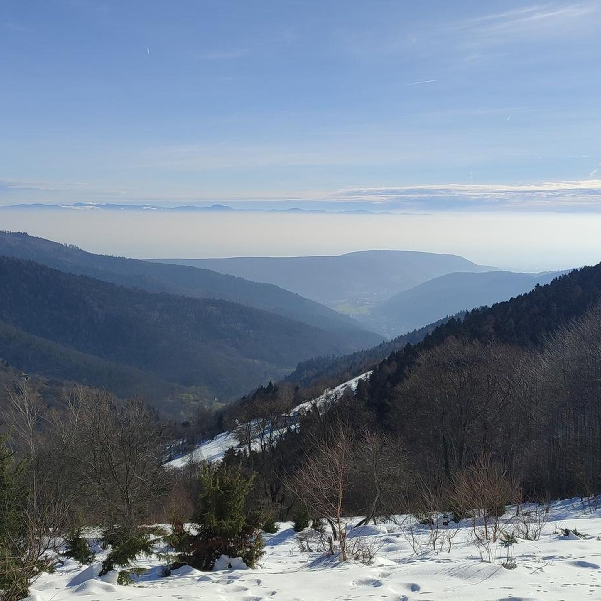
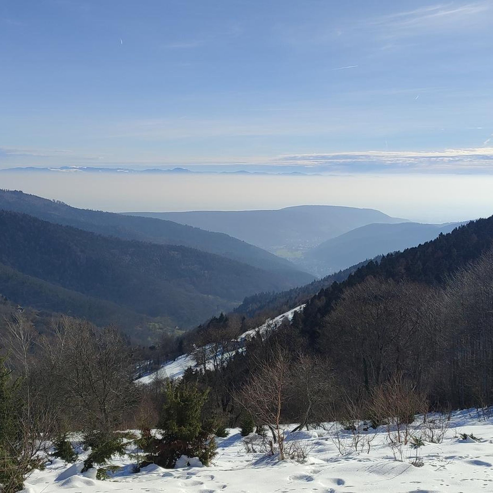
sights again and again towards Cernay
0
0

Nice view, a shame there is no bench or table
0
0

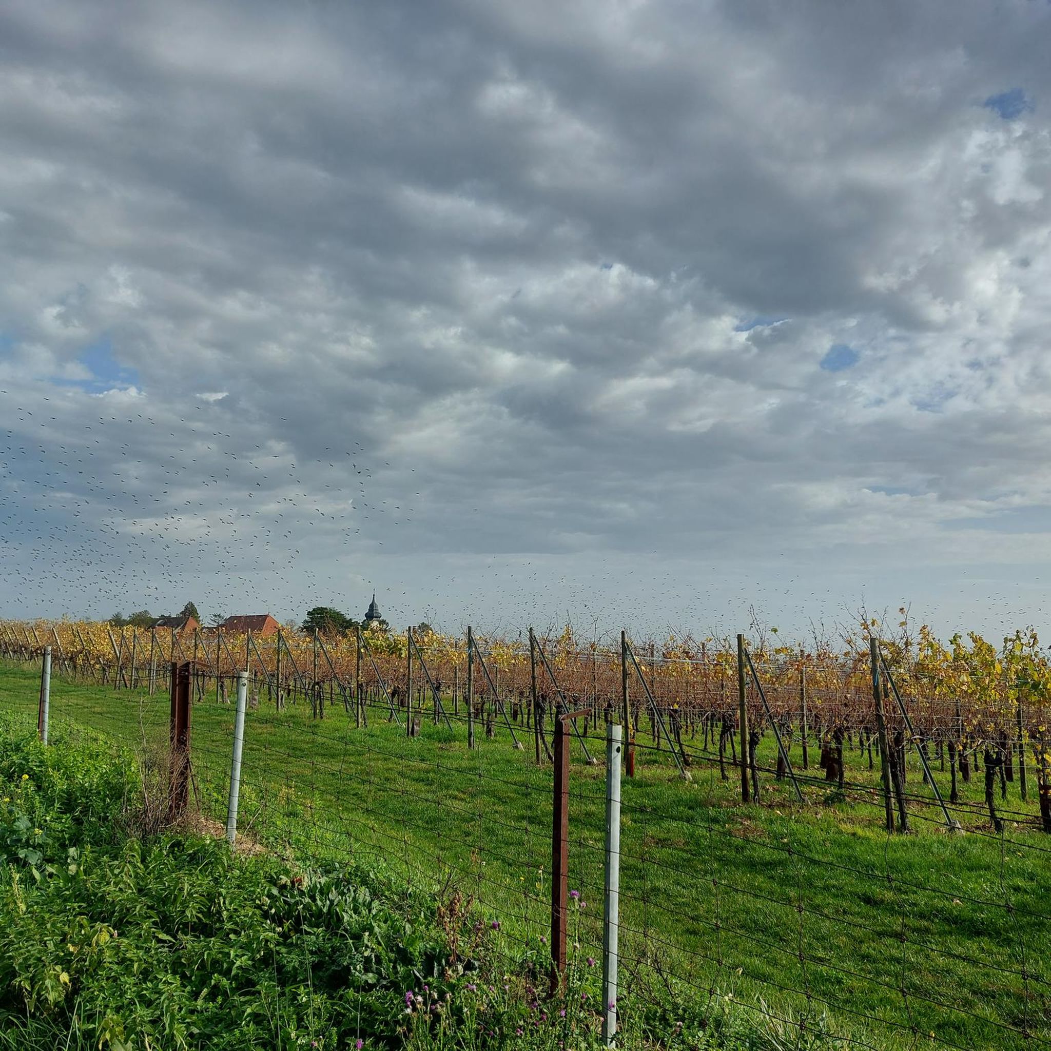
Orientation table located in the vineyard. View of Rouffach, the plain, the Black Forest and, weather permitting, as far as the Swiss Alps.
0
0
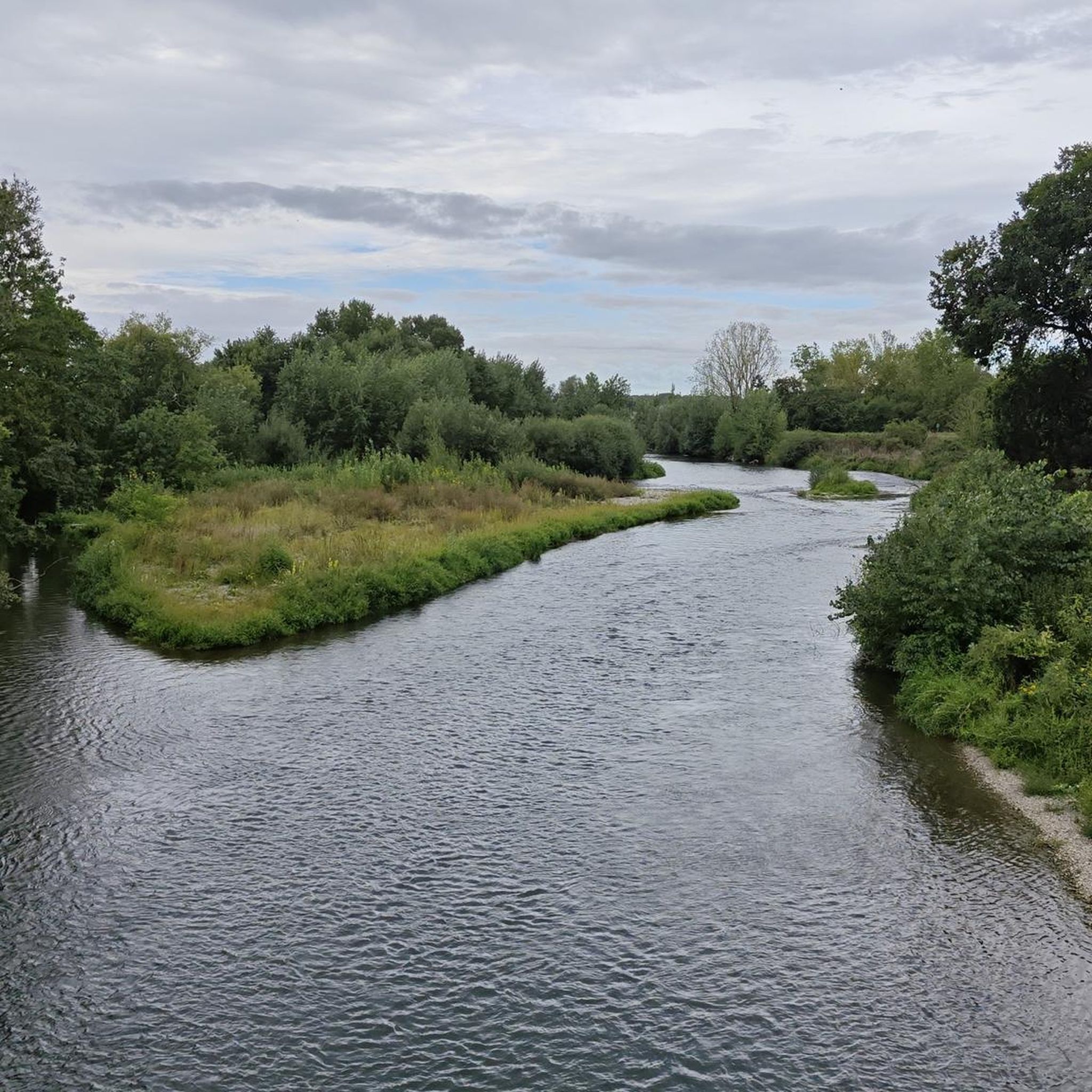
The twins, a pink sandstone sculpture by André Seiler, symbolize the confluence of the Ill and Thur rivers.
0
0

The Langenstein menhir (a 4-meter-high long stone) was erected in 1904 by a Soultzmatt industrialist, who recognized this block as an overturned menhir. Legend tells that on full moon nights, fairies, or White Ladies, come to dance around the Langenstein. During this ceremony, the stone is said to begin spinning!
1
0

This short but tough climb (2.4 km at 4.8% average) takes you via quiet asphalt roads through the forest south of Colmar. The summit is at 352 meters altitude and is ideal for those looking for a shady climb with little traffic. The steepest section reaches 9.6%, but the climb is easy for recreational cyclists. Perfect as a connecting link between the wine villages and the Vosges.
6
0

Nice track with a good surface for rollerblading overall.
1
0
Frequently Asked Questions
How many hiking trails are available around Meienheim?
Meienheim offers a wide variety of hiking opportunities, with over 270 trails recorded on komoot. These routes cater to all levels, from easy strolls to more challenging mountain treks through the Vosges foothills.
What kind of terrain can I expect on hikes around Meienheim?
The terrain around Meienheim is incredibly diverse. You can expect to find trails winding through picturesque Alsatian vineyards, extensive forests, and along the Ill River. The region also features the foothills of the Vosges Mountains, offering more challenging ascents and panoramic views.
Are there hiking trails suitable for beginners or families in Meienheim?
Yes, there are many easy trails perfect for beginners or families. For example, the Lake of Ensisheim – Plan d'eau des Oréades loop from Ensisheim is an easy 2.0 miles (3.3 km) path offering a tranquil experience around the lake. The region has over 120 easy routes to choose from.
What are the more challenging hiking options near Meienheim?
For experienced hikers seeking a challenge, routes like the Zinnkoepflé Viewpoint – Chapelle Schaeffertal loop from Rouffach offer significant elevation gain and stunning panoramic views over the vineyards. The Vosges Mountains, including peaks like Hohneck and Grand Ballon, also provide strenuous treks.
What natural landmarks or scenic viewpoints can I discover on hikes near Meienheim?
Hikers can explore several natural landmarks and viewpoints. The View of the Vallée Noble offers expansive vistas. You might also encounter the Grossfels Rocks or the Bergholtz Sandstone Quarries. The region is also home to beautiful lakes like Lac de Kruth and Lac Blanc, and the Hohwald waterfall.
Are there any historical sites or castles accessible via hiking trails?
Yes, the region is rich in history. You can discover numerous medieval castles perched on rocky outcrops, such as the Three Castles of Ribeauvillé or Guirbaden Castle. Mont Sainte-Odile, a significant cultural and historical site with an ancient pagan wall, also offers picturesque hiking opportunities.
When is the best time of year to go hiking in Meienheim?
The best time for hiking in Meienheim is generally from spring to autumn (April to October), when the weather is mild and the landscapes are vibrant. Spring brings blooming vineyards, while autumn offers stunning fall foliage. Summer is also popular, though some mountain trails can be challenging in peak heat. Winter hiking is possible, especially on lower elevation trails, but requires appropriate gear and caution.
Are there circular hiking routes available around Meienheim?
Yes, many of the trails around Meienheim are designed as circular routes, allowing you to start and end at the same point. An example is the Lake of Ensisheim – Mill Estate loop from Ensisheim, which offers a pleasant moderate walk.
Is it easy to access hiking trails around Meienheim by public transport?
While some trailheads might be accessible by local bus services, many routes, especially those in the more remote Vosges Mountains or vineyards, are best reached by car. It's advisable to check local public transport schedules in advance for specific starting points.
Are there designated parking areas for hikers near the trailheads?
Yes, many popular hiking areas and trailheads around Meienheim and the wider Alsace region have designated parking facilities. However, during peak season or on popular routes, these can fill up quickly, so arriving early is recommended.
What do other hikers enjoy the most about hiking in Meienheim?
The area is highly rated by the komoot community, with an average score of 4.5 stars from over 541 reviews. Reviewers often praise the diverse landscapes, from tranquil lake paths to scenic vineyard trails and challenging mountain ascents, as well as the well-maintained and clearly marked paths.
Are there any dog-friendly hiking trails in the Meienheim area?
Many trails in the Meienheim region are dog-friendly, especially those through forests and along rivers. It's generally recommended to keep dogs on a leash, particularly in nature reserves, agricultural areas, or near livestock. Always carry water for your pet and clean up after them.
Most popular routes around Meienheim
Most popular attractions around Meienheim

Get inspired with the komoot mobile app


Explore more
Browse the best Hikes in other regions.
