The best walks and hikes around Landkreis Rottweil
4.5
(14058)
53,099
hikers
2,611
hikes
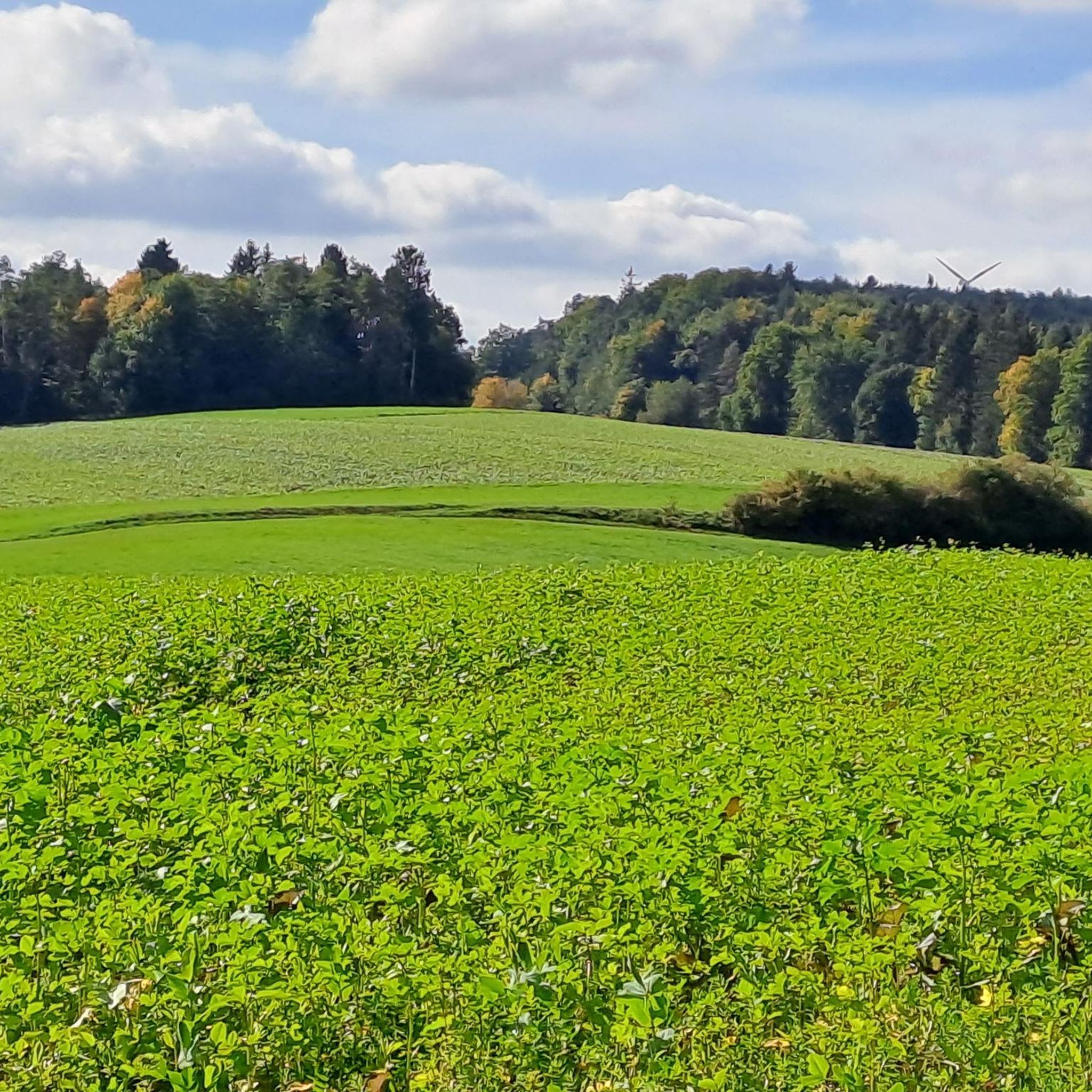
Hiking trails around Landkreis Rottweil traverse a diverse landscape, situated between the Black Forest and the Swabian Alb. The region features varied topography, from rolling hills to more challenging mountainous areas, alongside picturesque river valleys like the Neckar and Glatt. Extensive forests, open valleys, and elevated viewpoints characterize the terrain, offering a wide array of hiking opportunities.
Best hiking trails around Landkreis Rottweil
- The most popular hiking route is Auerhahnweg bei Schramberg-Tennenbronn – Genießerpfade im Schwarzwald, a 6.5 miles…
Last updated: September 25, 2026
4.8
(328)
1,126
hikers
10.4km
03:05
280m
290m
Moderate hike. Good fitness required. Mostly accessible paths. Sure-footedness required.
4.8
(328)
1,123
hikers
10.3km
03:03
280m
290m
Moderate hike. Good fitness required. Mostly accessible paths. Sure-footedness required.

4.7
(241)
796
hikers
12.2km
04:07
550m
560m
Moderate hike. Good fitness required. Mostly accessible paths. Sure-footedness required.
4.5
(56)
239
hikers
12.2km
03:40
380m
390m
Moderate hike. Good fitness required. Easily-accessible paths. Suitable for all skill levels.
4.5
(41)
120
hikers
13.1km
04:00
430m
430m
Moderate hike. Good fitness required. Easily-accessible paths. Suitable for all skill levels.
4.2
(41)
168
hikers
4.49km
01:11
40m
40m
Easy hike. Great for any fitness level. Easily-accessible paths. Suitable for all skill levels.
4.7
(323)
892
hikers
11.7km
03:11
180m
180m
Moderate hike. Good fitness required. Easily-accessible paths. Suitable for all skill levels.
4.8
(340)
1,034
hikers
Moderate hike. Good fitness required. Easily-accessible paths. Suitable for all skill levels.
4.8
(346)
1,071
hikers
Moderate hike. Good fitness required. Easily-accessible paths. Suitable for all skill levels.
4.6
(23)
75
hikers
3.03km
01:04
80m
80m
Easy hike. Great for any fitness level. Easily-accessible paths. Suitable for all skill levels.
Get access to more routes and recommendations from other explorers.
Already have an account?
Our route recommendations are based on thousands of hikes, rides, and runs completed by other people on komoot.
Start today with a free account
Your next adventure awaits.
Other adventures around Landkreis Rottweil


Tips from the Community

Currently, no water is coming out here due to the drought. For your information, in case someone plans to refill water here only after the ascent from Schiltach.
0
0

is located at the Gedächtnishaus (tower/restaurant)
0
0

The Turmhütte on the Mooswaldkopf, built in 1904, was converted in 1923/24 into the "Memorial House of the Fallen of the World War 1914-18 from the Württemberg Black Forest Association". Today's Gedächtnishaus Fohrenbühl is a popular destination with a large terrace. From the platform of the 24-meter-high observation tower, you can enjoy a fantastic panoramic view over the Central Black Forest. You can also stay overnight in the Turmhütte. Handmade souvenirs are available in the small on-site ceramic shop. All information can be found at https://www.turmhuette.de/.
2
0

... on the "Schmetterlingspfad" in Schramberg-Tennenbronn: - https://schmetterlingspfad.de/ - https://schmetterlingspfad.de/wp-content/uploads/2021/10/Schmetterlingspfad_Flyer_final.pdf - or via the "yellow rhombus" marking
0
0
... beautiful forest path near Schramberg-Tennenbronn. - reachable via the "yellow rhombus" marking or the "Butterfly Trail", among others - classic "Black" Forest - beautiful conifers, mosses ... - benches available along the way - nice and cool in the summer!
0
0

On the Fohrenbühl runs the former border between Baden and Württemberg, a border that has always been a boundary of districts, states, and religions since time immemorial. Lauterbach, as part of the former County of Hohenberg, belonged to Further Austria, but fell to Württemberg in the Peace of Pressburg in 1805. Due to the former Austrian rule, Lauterbach was Catholic. Hornberg was Württemberg, thus Protestant, and in 1810 fell by exchange to the Grand Duchy of Baden. Thus, the curiosity arose with two inns, only 25 m apart, that the "Schwanen" inn, belonging to Hornberg, was Württemberg until 1810 and then became Baden, and the "Adler" inn, previously Further Austrian because it belonged to Lauterbach, fell to Württemberg from 1805 onwards. Source: https://de.wikipedia.org/wiki/Fohrenb%C3%BChl
1
0

The rock with its brown color stands out from its surroundings. It is very imposing.
1
0
Frequently Asked Questions
How many hiking trails are available in Landkreis Rottweil?
Landkreis Rottweil offers an extensive network of over 2,500 hiking trails. This includes a wide variety of routes, from easy strolls to more challenging mountain paths, ensuring options for every preference and skill level.
What do hikers enjoy most about the trails in Landkreis Rottweil?
The trails in Landkreis Rottweil are highly regarded by the komoot community, with an average rating of 4.5 stars from over 11,000 reviews. Hikers frequently praise the diverse landscapes, well-maintained paths, and the scenic beauty that blends Black Forest and Swabian Alb characteristics.
Are there hiking trails for all skill levels in Landkreis Rottweil?
Yes, the region caters to all abilities. You'll find over 1,500 easy routes, nearly 900 moderate trails, and around 70 more challenging hikes. This variety ensures that both casual walkers and experienced trekkers can find suitable adventures.
Can I find hikes that feature waterfalls in Landkreis Rottweil?
Absolutely. The region boasts several beautiful waterfalls. You can explore trails near the Lauterbach Waterfalls, the Trombach Waterfall, or the Kalktuff Waterfall Near Heidenhof, among others, for a refreshing natural experience.
Are there any hikes with impressive viewpoints in Landkreis Rottweil?
Yes, many trails offer stunning panoramic views. The Schramberg Castle Premium Trail leads to Burgruine Hohenschramberg, providing magnificent vistas of the surrounding valleys. Other notable viewpoints include the Teisenkopf Tower and the Dürrenmettstetten Observation Tower.
Are there family-friendly hiking trails suitable for strollers in Landkreis Rottweil?
Yes, there are options for families with young children. The AugenBlick-Runde Schramberg-Sulgen is specifically designed to be suitable for strollers, offering an easy and enjoyable outing for the whole family.
Are there circular hiking routes in Landkreis Rottweil?
Many trails in Landkreis Rottweil are designed as circular routes, allowing you to start and end at the same point. An example is the Schlichemtal Nature Reserve – Schlichem Gorge loop from Epfendorf, which offers a scenic round trip through a nature reserve.
Can I explore historic towns or castles while hiking in the region?
Absolutely. The region is rich in history. You can hike to the impressive Burgruine Hohenschramberg for historical insights and views, or explore the charming half-timbered old town of Schiltach, which is featured on routes like The Kinzig River in Schiltach – Schiltach Historic Old Town loop from Willenburg.
Are there options for long-distance hiking in Landkreis Rottweil?
Yes, Landkreis Rottweil is traversed by significant long-distance hiking trails. The Neckarweg follows the picturesque Neckar River, and two of the three Black Forest high trails, the Mittelweg and Ostweg, also pass through the district, offering multi-day hiking experiences for seasoned adventurers.
Are there any hikes that explore river valleys?
The region is characterized by its beautiful river valleys. The Neckar River flows through the district, and the Glatt River also offers idyllic scenery. Trails like the Boardwalk at the Rotwasserbach – Kapfhäusle Thatched House loop from Lauterbach provide opportunities to experience these picturesque river landscapes.
What kind of natural features can I expect to see on hikes?
Hikes in Landkreis Rottweil showcase a diverse range of natural features. You'll encounter extensive forests, open valleys, rolling hills, and more challenging mountainous areas, reflecting the influences of both the Black Forest and the Swabian Alb. River landscapes along the Neckar and Glatt are also prominent.
Most popular routes around Landkreis Rottweil
Most popular attractions around Landkreis Rottweil

Get inspired with the komoot mobile app


Didn’t find what you were looking for?
Check out more Hikes throughout Landkreis Rottweil below and find the perfect route in your destination.
Explore more
Browse the best Hikes in other regions.
