The best cycling routes around Targassonne
4.3
(174)
7,057
riders
213
rides
Touring cycling around Targassonne is set within the French Pyrenees, at an altitude of approximately 1500 meters, offering a mountainous and forested landscape. The region is characterized by rugged peaks, high-altitude lakes such as Lake Bouillouses and Estany de la Pradella, and deep gorges. Cyclists can navigate a network of routes through the Natural Park of the Catalan Pyrenees, encountering varied terrain from challenging mountain climbs to more gradual ascents through Pyrenean foothills.
Best touring cycling routes around Targassonne
- The…
Last updated: October 29, 2026
5.0
(1)
244
riders
49.3km
03:47
1,240m
1,240m
Hard bike ride. Very good fitness required. Mostly paved surfaces.
4.5
(2)
229
riders
Hard bike ride. Very good fitness required. Mostly paved surfaces.

4.6
(7)
207
riders
48.3km
03:32
950m
950m
Hard bike ride. Very good fitness required. Mostly paved surfaces.
4.5
(2)
102
riders
29.4km
02:57
810m
810m
Hard bike ride. Very good fitness required. Mostly paved surfaces.
5.0
(2)
68
riders
66.6km
05:01
1,650m
1,650m
Hard bike ride. Very good fitness required. Mostly paved surfaces.
Get access to more routes and recommendations from other explorers.
Already have an account?
Our route recommendations are based on thousands of hikes, rides, and runs completed by other people on komoot.
Start today with a free account
Your next adventure awaits.

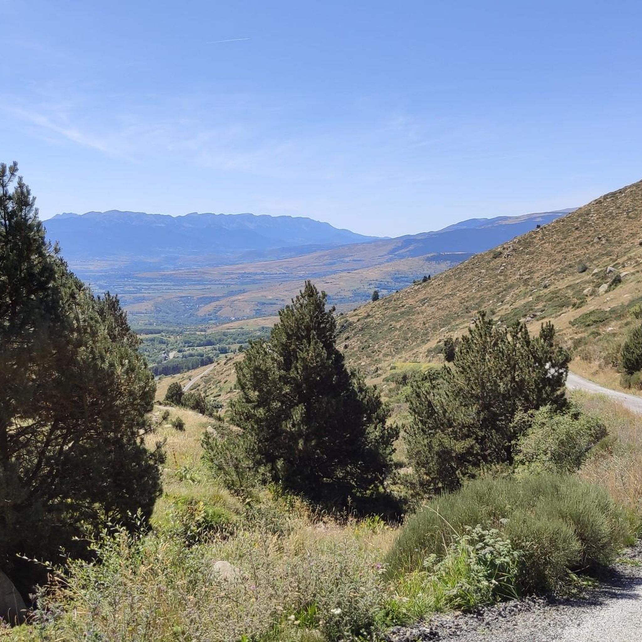
Tips from the Community

Lake Matemale with its beautiful beaches is located at an altitude of 1500 metres and therefore the water is between 19 and 23°.
1
1


Well, starting from Font Romeu and breaking legs from Mont Louis
0
0

A leisurely drive through the foothills of the Pyrenees, with the many spa towns of this region on the plateau in the background.
0
0

superb natural location, beautiful path crossing a magnificent river, the Tét
0
0

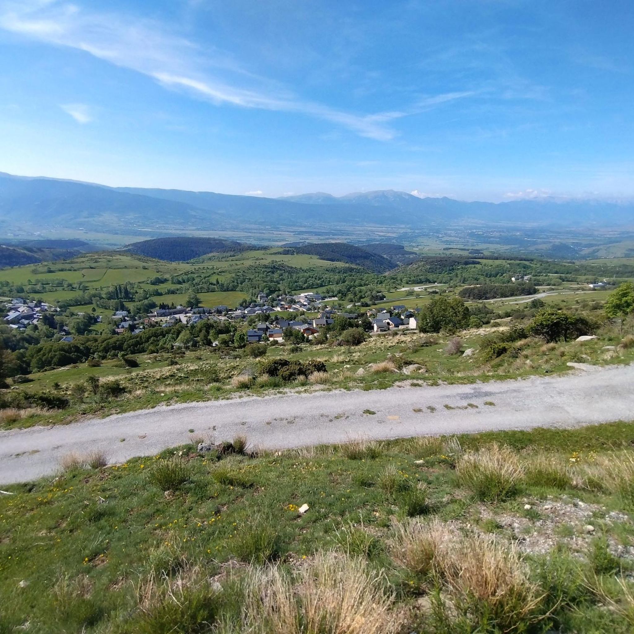
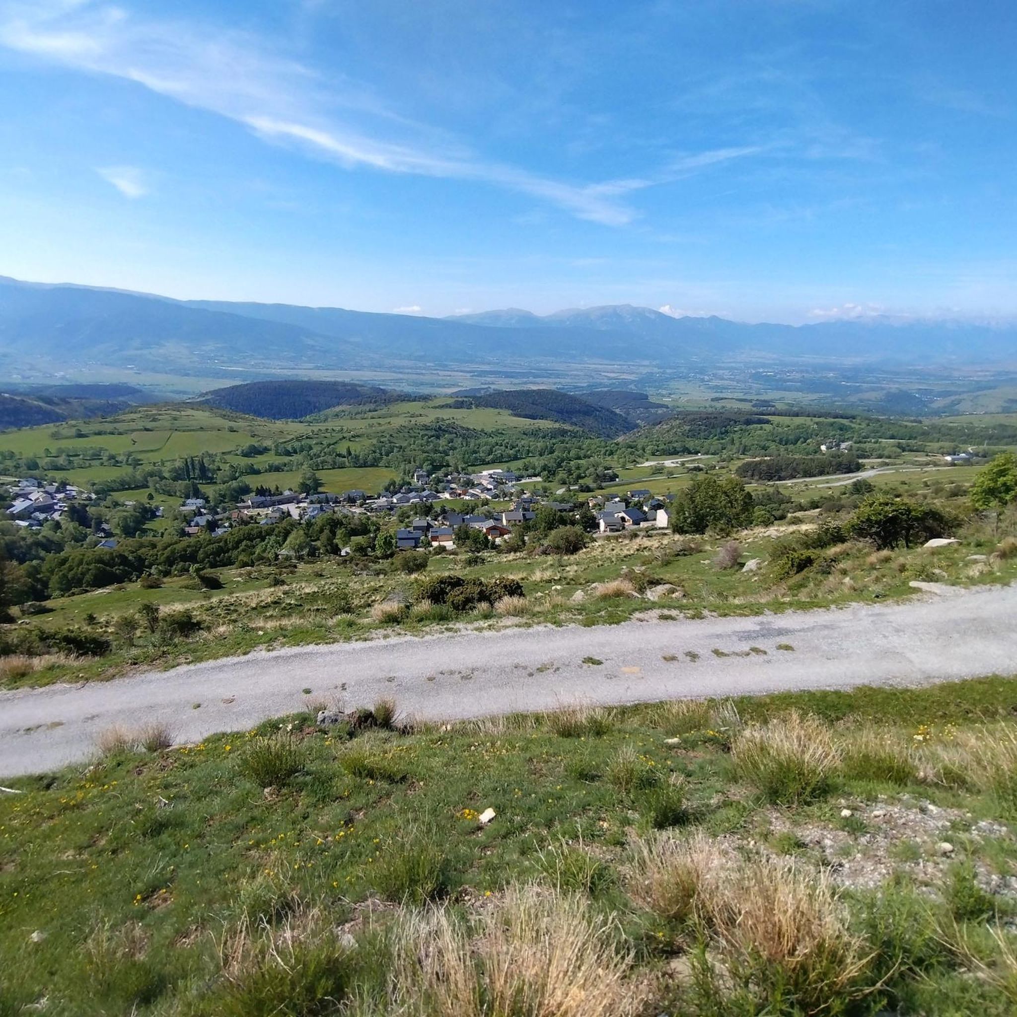
The Col de la Calvaire de Font Romeu is a mountain pass in French Cerdanya, next to the town and ski resort of Font Romeu. This port connects the Bolquère valley with the Cerdanya valley. The port is within the same town of Font Romeu, next to the station's ski lifts. There are many slopes to reach Col de la Calvaire: - the western slope that starts from Ur is approximately 16 km and crosses the town of Targasone and the Col d'Egat. It is a very steep climb along a road in perfect condition, although on holidays there is a lot of traffic. - The southern slope starts from Llívia and crosses Estavar and joins the previous one at the Col d'Egat. Unlike the first, the first section of the climb is very hard, with several horseshoe curves and with wonderful views of the entire Cerdanya and the Tosa d'Alp. - The eastern slope stops at Olette, and after approximately 28 km it reaches the top of the pass, passing through the town of Mont-Louis and Bolquère. It is a very steep climb, like the first, on a road in perfect condition but with a lot of traffic. I don't like going up here. - the eastern slope that starts from Olette and passes through the Col de la Perche, reaching the town of Font-Romeu and from there to the top. Of all the slopes, the one I like the most is the slope that starts from Llívia and crosses Estavar.
0
0
It is a port with a lot of traffic, especially in the month of August. It is very open and often has headwinds, with long straights that make it a stinky pass. It has several slopes, all characterized by being long and with smooth percentages. The most beautiful thing about Col de la Quillane are the views of Lake Matemale from its northern slope.
0
0

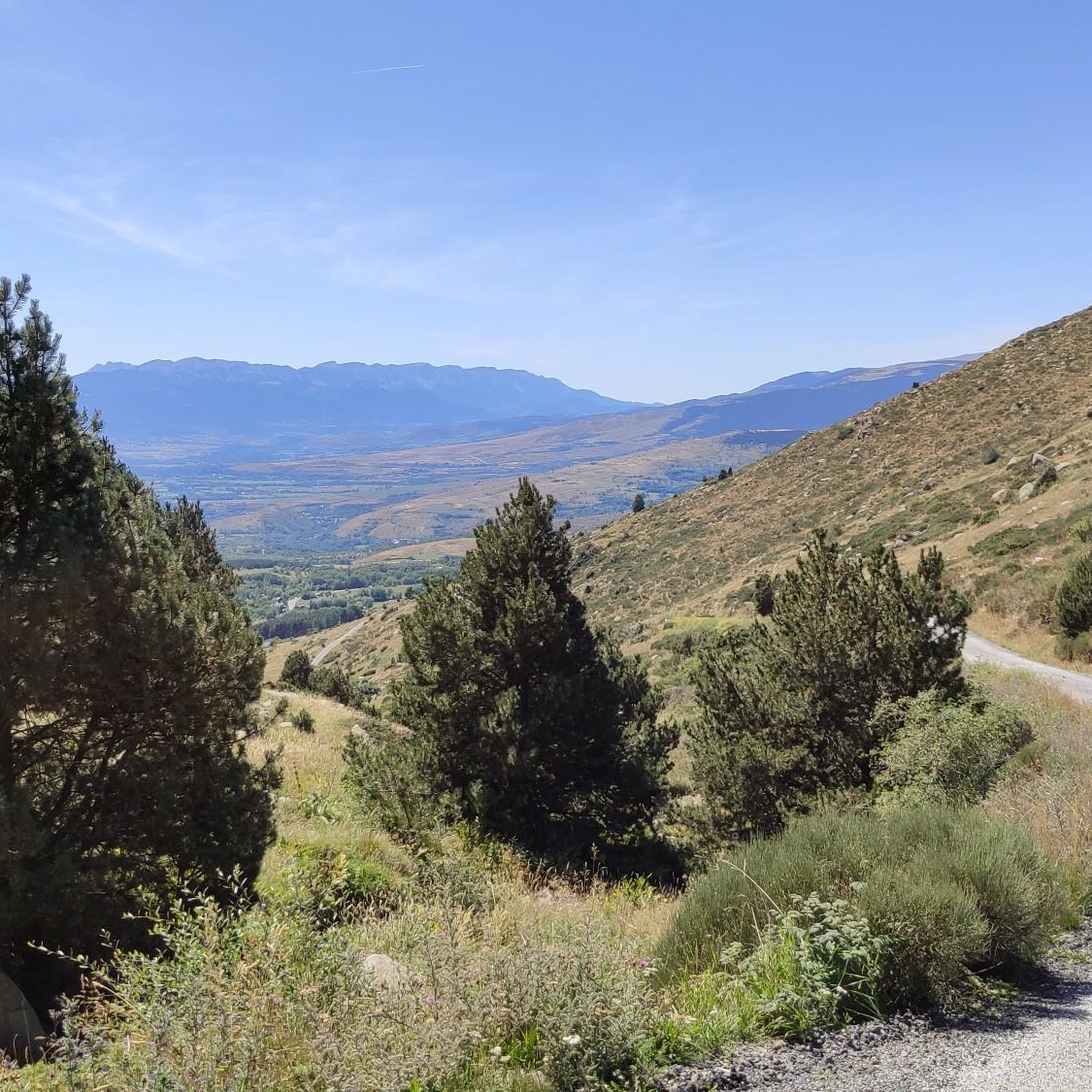
Culminating at 1,579 meters above sea level, the Col de la Perche can be climbed by four routes in total. Each of them includes relatively gentle slopes. At the top, the view of the surrounding area is splendid and rewards your efforts!
0
0
Frequently Asked Questions
How many touring cycling routes are available around Targassonne?
There are over 200 touring cycling routes around Targassonne, offering a wide variety of options for different skill levels and preferences. The region is known for its diverse terrain within the French Pyrenees.
What is the best time of year for touring cycling in Targassonne?
The ideal time for touring cycling in Targassonne is late spring, summer, and autumn. The village is situated at approximately 1500 meters altitude, making these seasons pleasant for exploring the mountainous and forested landscapes.
Are there touring cycling routes suitable for beginners or families in Targassonne?
Yes, among the more than 200 routes, you'll find around 30 easy touring cycling routes that are generally suitable for beginners or families. These routes often feature more gradual ascents through the Pyrenean foothills rather than challenging mountain climbs.
Are there challenging touring cycling routes for experienced cyclists?
Absolutely. Targassonne is an excellent base for experienced cyclists seeking a challenge. Over 100 of the routes are classified as difficult, featuring significant elevation gains and traversing high mountain terrain. An example is the Lake Matemale – Col de la Creu loop from Font-Romeu-Odeillo-Via, which covers nearly 79 km with over 1700 meters of elevation gain.
Can I find circular touring cycling routes in the Targassonne area?
Many touring cycling routes around Targassonne are designed as loops, allowing you to start and finish at the same point. For instance, the Saillagouse Station – Prat de Tossa loop from Estavar is a challenging 49 km circular path offering panoramic views.
What natural attractions can I see while touring cycling near Targassonne?
The region offers stunning natural beauty. You can cycle past high-altitude lakes like Lake Bouillouses and Estany de la Pradella, or enjoy views of rugged mountains such as Pic Carlit. The routes often traverse the Natural Park of the Catalan Pyrenees, providing a backdrop of forests and impressive gorges.
Are there any notable landmarks or cultural sites accessible by touring bike?
Beyond the natural environment, you can explore historical and cultural attractions. The region features charming medieval towns like Villefranche-de-Conflent, which is a walled town and a departure point for the scenic Yellow Train. While not directly on every route, these sites are often accessible within the broader Pyrénées-Orientales department.
Where can I find scenic viewpoints along touring cycling routes?
Many routes in Targassonne offer breathtaking panoramic views, especially those that climb to higher elevations or mountain passes. The Col de la Perche (1,579 m) and Col du Calvaire (Font-Romeu) are examples of passes that provide extensive vistas over the valleys and surrounding peaks.
What are the typical durations for touring cycling routes in Targassonne?
Route durations vary significantly based on distance and difficulty. Shorter, moderate routes like the Font-Romeu – Pla des Aveillans loop from Pla de la Creu can take around 2 hours. Longer, difficult routes, such as the Lake Matemale – Col de la Creu loop from Font-Romeu-Odeillo-Via, typically require 5 to 6 hours to complete.
Is public transport available to access touring cycling routes in Targassonne?
While Targassonne itself is a small hamlet, the broader Pyrénées-Orientales department has some public transport options. For specific routes, checking local bus or train services that connect to towns like Font-Romeu-Odeillo-Via or Estavar, which are common starting points for tours, would be advisable. The Yellow Train is a scenic option, though primarily for sightseeing.
Are there places to stop for refreshments or accommodation along the routes?
Yes, especially on longer routes or those passing through villages. You can find various huts and refuges, such as the Bouillouses Refuge or the Carlit Inn, which offer opportunities for rest and refreshments. Additionally, nearby towns provide a range of services.
What kind of terrain can I expect on touring cycling routes around Targassonne?
The terrain around Targassonne is highly varied. You can expect rugged mountain roads, dense forests, and paths alongside high-altitude lakes. While some routes offer more gradual ascents through Pyrenean foothills, many involve challenging climbs. Roads can sometimes be narrow and unpaved in certain segments, adding to the adventurous nature of touring.
What do other touring cyclists enjoy the most about touring cycling in Targassonne?
The area is highly rated by the komoot community, with an average score of 4.3 stars from over 150 reviews. Reviewers often praise the stunning mountain landscapes, the quiet roads, and the diverse network of routes that cater to various skill levels, from challenging climbs to scenic rides through natural parks.
Most popular routes around Targassonne
Most popular attractions around Targassonne

Get inspired with the komoot mobile app


Explore more
Browse the best Cycling routes in other regions.