The best running trails around Meyrié
4.5
(182)
3,973
runners
17
runs
Jogging routes around Meyrié traverse a varied landscape of hilly terrain and forested areas, providing diverse options for runners. The region is characterized by surrounding forests, such as those near Plan Bourgoin to the north and Vermelle to the south, offering shaded paths. Water features like the Étang de la Rosière and the Bion river are also present, adding to the scenic backdrop. From higher elevations, runners can experience panoramic views of mountain ranges including the Bugey, Vercors, and Mont-Blanc…
Last updated: October 5, 2026
4.0
(1)
9
runners
11.5km
01:16
170m
170m
Moderate run. Good fitness required. Mostly paved surfaces. Suitable for all skill levels.
11
runners
10.6km
01:12
190m
190m
Moderate run. Good fitness required. Mostly paved surfaces. Suitable for all skill levels.

7
runners
14.1km
01:31
160m
160m
Moderate run. Good fitness required. Mostly paved surfaces. Suitable for all skill levels.
4.0
(1)
5
runners
3.93km
00:27
70m
70m
Easy run. Great for any fitness level. Mostly paved surfaces. Suitable for all skill levels.
5
runners
12.4km
01:21
200m
200m
Moderate run. Good fitness required. Mostly paved surfaces. Suitable for all skill levels.
Get access to more routes and recommendations from other explorers.
Already have an account?
Our route recommendations are based on thousands of hikes, rides, and runs completed by other people on komoot.
Start today with a free account
Your next adventure awaits.
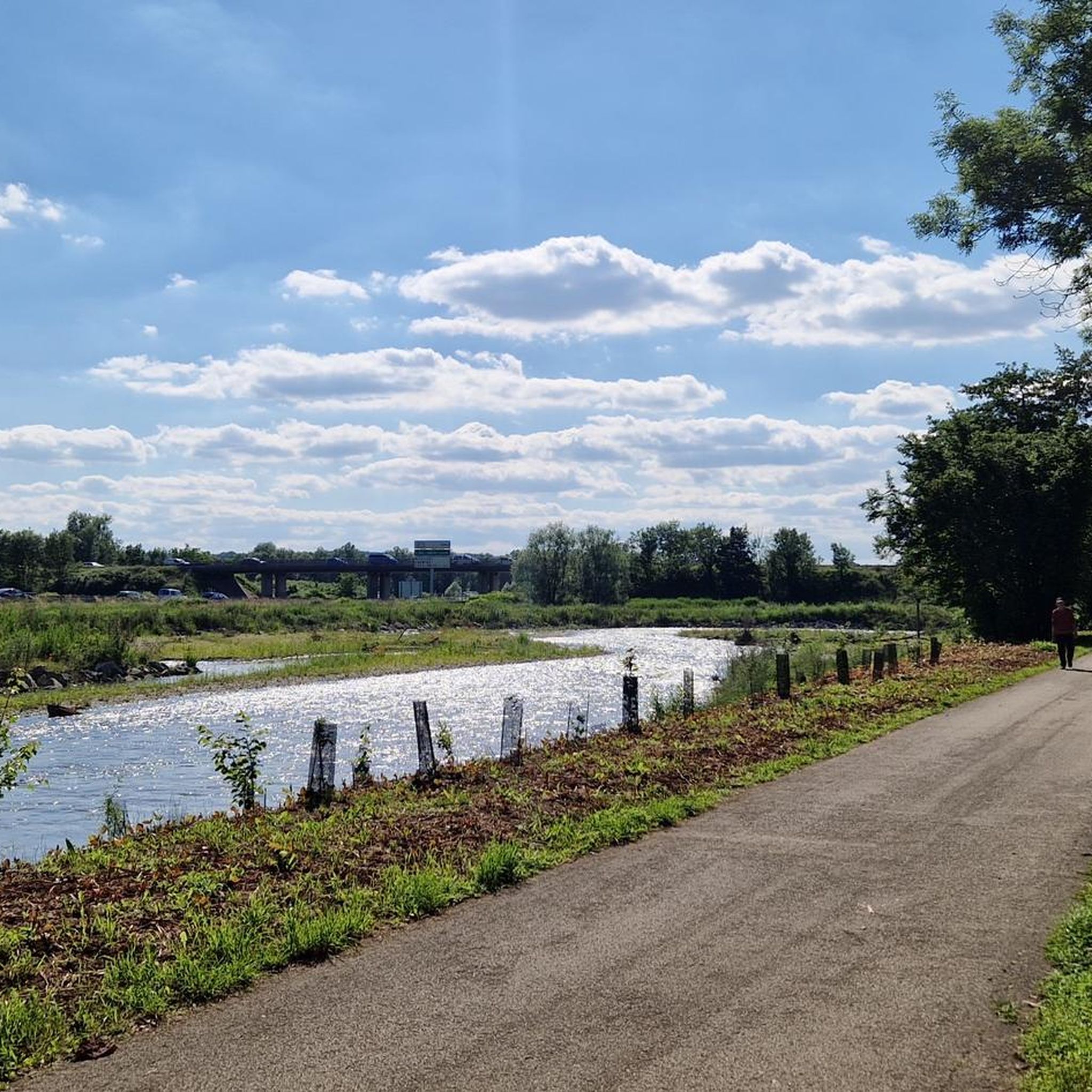

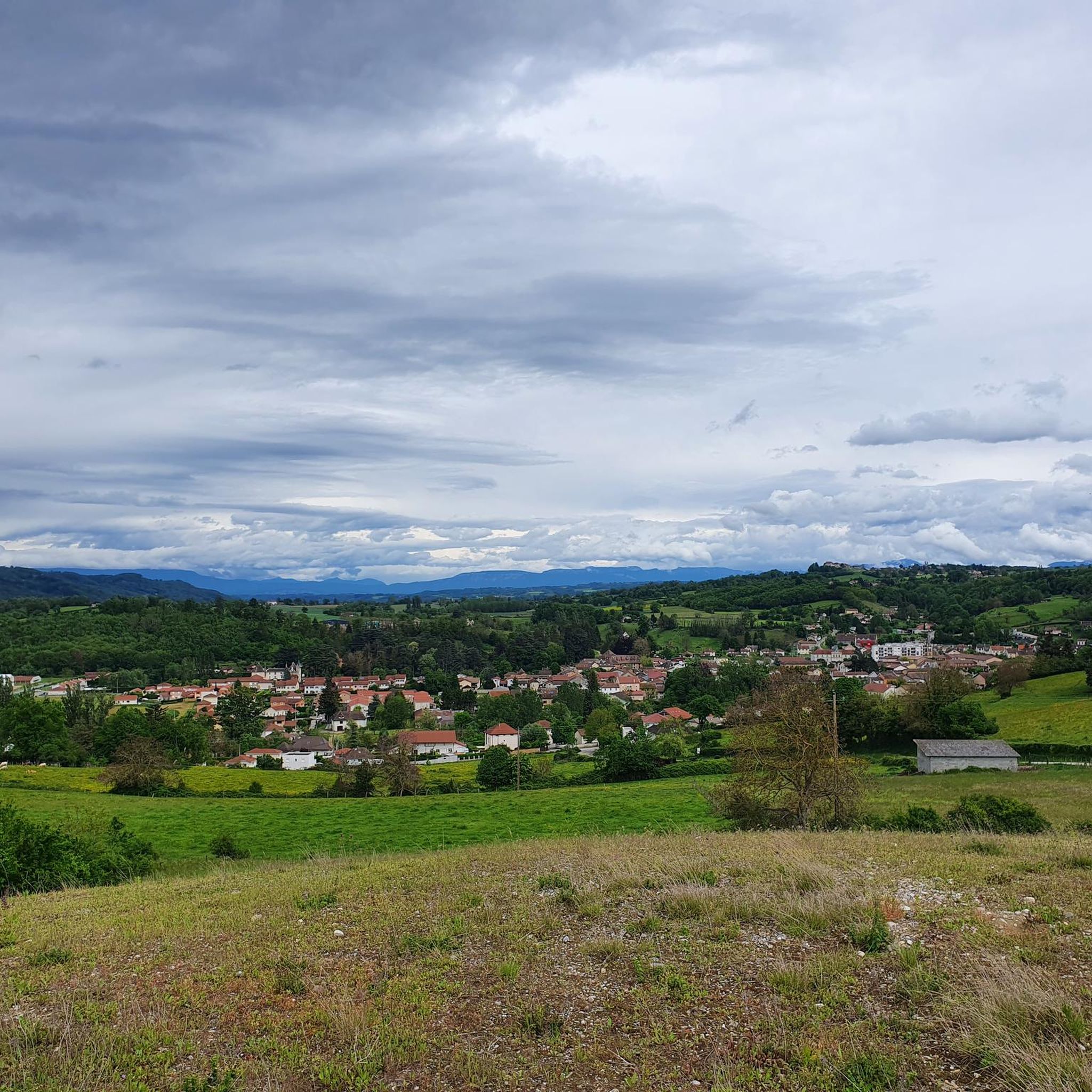

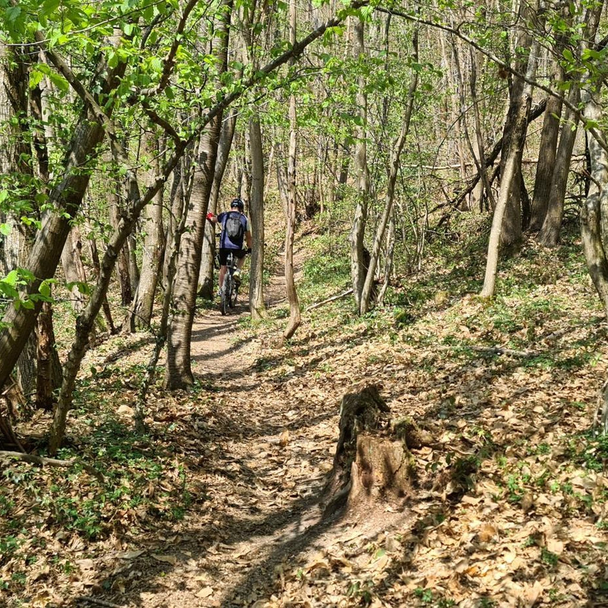
Tips from the Community

The existence of the church is formally attested from 1113 in the cartulary of the temple of Vaulx. It initially served as a parish church. Labelled «Patrimoine en Isère», it is today a major venue for artistic and cultural exhibitions managed by a local association.
0
0

A pretty chapel, with a water point. A deceased woman, born in 1795, is buried there
0
0
Frequently Asked Questions
How many running routes are available around Meyrié?
Komoot offers nearly 20 dedicated running routes around Meyrié, catering to various preferences and fitness levels. These routes traverse the region's diverse landscape, from shaded forests to open agricultural plateaus.
Are there any easy or beginner-friendly jogging routes in Meyrié?
Yes, while most routes are moderate, there is at least one easy running route available. Many paths combine shaded forest trails with open agricultural plateaus, offering a mix of environments suitable for different abilities. For a relatively flat experience, consider sections of the Bourbre Greenway.
What kind of terrain can I expect on the running trails in Meyrié?
The running trails in Meyrié are characterized by a varied landscape, including hilly terrain and extensive forested areas. You'll find a mix of shaded forest paths, open agricultural plateaus, and some less-trafficked country roads. This diversity provides options for different types of runs, from gentle inclines to more challenging ascents.
Are there any scenic viewpoints or landmarks along the jogging routes?
Absolutely! Joggers can enjoy panoramic views of several mountain ranges, including the Bugey, Vercors, Mont-Blanc, Vanoise, Belledonne, and Chartreuse massifs, especially from higher elevations like Mont de Crucilleux. You can also incorporate historic landmarks such as the Chapel of La Salette or the Saint-Clair church into your runs. Don't miss the Orientation table at the summit of Chèzeneuve for stunning vistas.
Are there any running routes that pass by water features?
Yes, several routes offer beautiful water features. The popular Étang loop from Meyrié, for instance, takes you past the scenic Étang de la Rosière. The Bion river also flows through the area, providing a pleasant backdrop for some runs.
What do other runners think about the trails in Meyrié?
The running routes in Meyrié are highly regarded by the komoot community, boasting an average rating of 4.5 stars from over 130 reviews. More than 4,000 runners have used komoot to explore the varied terrain, often praising the diverse landscapes and well-maintained paths.
Are there any circular running routes available?
Yes, many of the running routes around Meyrié are designed as circular loops, allowing you to start and finish at the same point. Examples include the popular Étang loop from Meyrié and the Beautiful discovery – Enter loop from Meyrié, which offer convenient options for your run.
What is the typical length and duration of jogging routes in Meyrié?
The jogging routes in Meyrié vary in length, with many moderate options ranging from approximately 10 to 14 kilometers (6 to 9 miles). These typically take between 1 hour 15 minutes and 1 hour 30 minutes to complete, depending on your pace and the specific route's elevation changes.
Can I find routes with minimal elevation gain for a more relaxed run?
While Meyrié is known for its hilly terrain, you can find routes with relatively minimal elevation changes. The Bourbre Greenway, for example, offers a dedicated, often well-maintained path that provides a flatter jogging experience, ideal for a more relaxed run.
Are there any historical or cultural sites I can pass by while running?
Yes, you can integrate cultural interest into your runs. Historic landmarks such as the Chapel of La Salette and the Saint-Clair church in the village center are accessible and can be part of your jogging route. The 11th-century Maison forte de la Barre, overlooking the Bion river, also adds to the historical charm of the area.
What are some of the longer running options for experienced runners?
For those seeking a longer challenge, routes like the Enter loop from Meyrié cover about 14.1 kilometers (8.8 miles) and take around 1 hour 31 minutes. There are also options extending up to 29 km with significant elevation gain towards Saint Anne, providing more demanding experiences for advanced runners.
Are there any routes that offer a mix of forest and open landscapes?
Many of Meyrié's running routes are designed to offer a diverse experience, combining shaded forest paths with open agricultural plateaus. This mix provides varied scenery and different running surfaces, keeping your run engaging and enjoyable.
Most popular attractions around Meyrié

Get inspired with the komoot mobile app


Explore more
Browse the best Running Trails & Routes in other regions.
