The best MTB trails around Meyrié
4.4
(557)
1,855
riders
198
rides
Mountain biking around Meyrié features a landscape characterized by undulating hills, forested paths, and scenic routes often passing by local lakes and chapels. The region offers a mix of terrain, from challenging descents to more moderate trails, with significant elevation changes across its varied topography. Many routes explore the natural beauty of the area, including notable landmarks like the Étang de la Rosière. This diverse environment provides a range of experiences for mountain bikers.
Best mountain bike trails around Meyrié
…Last updated: October 5, 2026
3.5
(4)
5
riders
32.7km
02:33
490m
490m
Moderate mountain bike ride. Good fitness required. Advanced riding skills necessary.
4.0
(2)
13
riders
22.3km
01:51
340m
340m
Moderate mountain bike ride. Good fitness required. Suitable for all skill levels.

5.0
(14)
8
riders
30.1km
01:56
230m
220m
Easy mountain bike ride. Great for any fitness level. Suitable for all skill levels.
6
riders
37.3km
03:03
630m
630m
Moderate mountain bike ride. Good fitness required. Suitable for all skill levels.
5.0
(1)
5
riders
39.6km
03:12
630m
630m
Moderate mountain bike ride. Good fitness required. Advanced riding skills necessary.
Get access to more routes and recommendations from other explorers.
Already have an account?
Our route recommendations are based on thousands of hikes, rides, and runs completed by other people on komoot.
Start today with a free account
Your next adventure awaits.
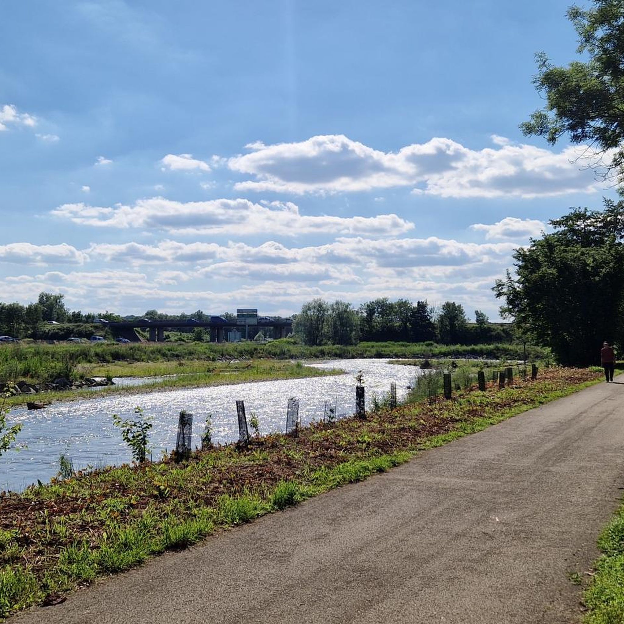

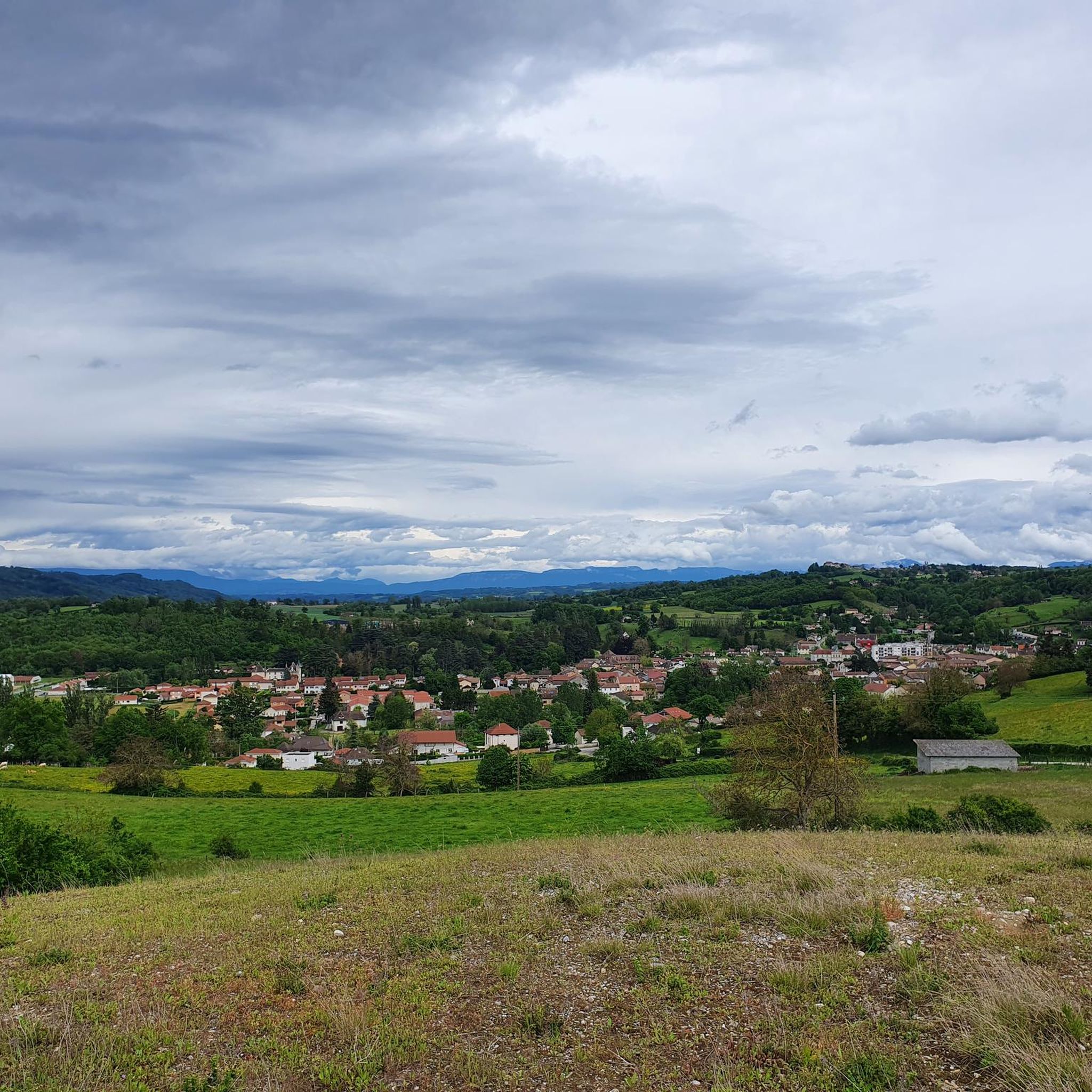

Tips from the Community

The "Trois Eaux" designation traditionally refers to the three distinct sources or supply networks (coming from wetlands, runoff from surrounding hills, and local springs) that join to form and maintain the level of this pond.
0
0
The existence of the church is formally attested from 1113 in the cartulary of the temple of Vaulx. It initially served as a parish church. Labelled «Patrimoine en Isère», it is today a major venue for artistic and cultural exhibitions managed by a local association.
0
0
Located in a peri-urban area between the municipalities of Villefontaine and Vaulx-Milieu, this 14-hectare pond is part of a protected area of over 51 hectares.
0
0

A pretty chapel, with a water point. A deceased woman, born in 1795, is buried there
0
0

It's a very bucolic hike without major difficulty, very pleasant at this time of year, it will be done without any difficulty with children and your four-legged friends🤗
0
0

Lovely view of the pond. A little cool spot when it's hot.
0
0
Enough to make beautiful figures
0
0

to book your stay for the night: 1001yourtes@gmail.com you can also visit: https://www.les-mille-et-une-yourtes.com/
0
0
Frequently Asked Questions
How many mountain bike trails are available around Meyrié?
There are nearly 200 mountain bike trails around Meyrié, offering a wide variety of options for different skill levels and preferences. This includes 31 easy routes, 119 moderate routes, and 46 difficult routes.
Are there any easy mountain bike trails suitable for beginners in Meyrié?
Yes, Meyrié offers 31 easy mountain bike trails perfect for beginners or those looking for a more relaxed ride. These routes typically feature less challenging terrain and elevation changes. While specific easy routes are not highlighted in the top recommendations, you can filter for 'easy' trails on komoot to find suitable options.
What is the typical length and duration of mountain bike trails in Meyrié?
Trail lengths and durations vary significantly. For example, the difficult Verclos descent – Étang de la Rosière loop from Bourgoin-Jallieu is 52.8 km and takes about 4 hours 35 minutes. A moderate option like the Beautiful discovery – Enter loop from Bourgoin-Jallieu is 38.7 km and typically takes around 3 hours 19 minutes. You'll find routes ranging from shorter, quicker rides to longer, full-day adventures.
Are there family-friendly mountain bike trails in Meyrié?
While many trails in Meyrié feature undulating hills and varied terrain, there are 31 easy routes that could be suitable for families, depending on the children's experience level. These trails generally avoid the most challenging descents and significant elevation gains found on more difficult routes. Always check the route details and difficulty before heading out with family.
What kind of terrain can I expect on mountain bike trails around Meyrié?
Mountain biking around Meyrié is characterized by undulating hills, forested paths, and scenic routes that often pass by local lakes and chapels. You'll encounter a mix of terrain, from challenging descents to more moderate trails, with significant elevation changes across its varied topography. Many routes explore the natural beauty of the area, including landmarks like the Étang de la Rosière.
What do other mountain bikers say about the trails in Meyrié?
The mountain bike routes in Meyrié are highly rated by the komoot community, with an average score of 4.3 stars from over 400 reviews. More than 1600 mountain bikers have used komoot to explore Meyrié's varied terrain, often praising the diverse landscapes and challenging yet rewarding rides.
Are there any circular mountain bike routes in Meyrié?
Yes, many of the popular mountain bike trails around Meyrié are circular loops. Examples include the difficult Étang de la Rosière – Verclos descent loop from Bourgoin-Jallieu and the moderate Beautiful discovery – Enter loop from Bourgoin-Jallieu. These loops offer the convenience of starting and ending at the same point.
What interesting landmarks or attractions can I see along the mountain bike trails in Meyrié?
Many trails in Meyrié pass by notable landmarks. You can cycle past the picturesque Étang de la Rosière, or discover historical sites like the Chapelle Sainte-Anne and Saint Joseph Chapel. Some routes also incorporate sections of the Bourbre Greenway or offer panoramic views from the Orientation table at the summit of Chèzeneuve.
What is the best time of year for mountain biking in Meyrié?
The region's climate generally makes spring through autumn ideal for mountain biking, offering pleasant temperatures and vibrant scenery. While winter riding is possible, be prepared for potentially colder, wetter conditions and check trail conditions as some paths might become muddy or slippery.
Are there any challenging or advanced mountain biking routes in Meyrié?
Yes, Meyrié is well-suited for advanced mountain bikers, with 46 difficult routes available. These trails feature significant elevation changes, technical descents, and varied terrain. A prime example is the Saint Joseph Chapel loop from Bourgoin-Jallieu, which offers a challenging ride with substantial climbs and descents.
Are there any mountain bike trails that feature impressive natural sights?
Absolutely. The region is known for its natural beauty. The Impressive Chestnut Tree – Châtaignier centenaire loop from Bourgoin-Jallieu is a difficult route that takes you past a notable ancient chestnut tree, offering a unique natural highlight amidst the varied terrain.
Most popular attractions around Meyrié

Get inspired with the komoot mobile app


Explore more
Browse the best MTB trails in other regions.
