The best running trails around Loisieux
4.3
(121)
6,645
runners
177
runs
Jogging around Loisieux offers varied terrain across hills, low mountains, and the Rhône river valley. The region is characterized by a mix of forests, agricultural land, and open landscapes, providing diverse running environments. Runners can find paths winding through woods and fields, with some routes offering panoramic views of the surrounding natural features. The area's topography includes gentle slopes and more challenging ascents, catering to different fitness levels.
Best jogging routes around Loisieux
- The most popular jogging route is Running…
Last updated: October 5, 2026
16
runners
11.1km
01:09
20m
20m
Moderate run. Good fitness required. Mostly paved surfaces. Suitable for all skill levels.
12
runners
8.71km
00:56
130m
130m
Moderate run. Good fitness required. Mostly paved surfaces. Suitable for all skill levels.

10
runners
11.4km
01:20
310m
310m
Hard run. Very good fitness required. Mostly paved surfaces. Suitable for all skill levels.
9
runners
6.57km
00:42
110m
110m
Moderate run. Good fitness required. Mostly paved surfaces. Suitable for all skill levels.
5.0
(2)
6
runners
8.30km
01:09
290m
280m
Moderate run. Good fitness required. Mostly accessible paths. Some sure footedness required.
Get access to more routes and recommendations from other explorers.
Already have an account?
Our route recommendations are based on thousands of hikes, rides, and runs completed by other people on komoot.
Start today with a free account
Your next adventure awaits.


Tips from the Community

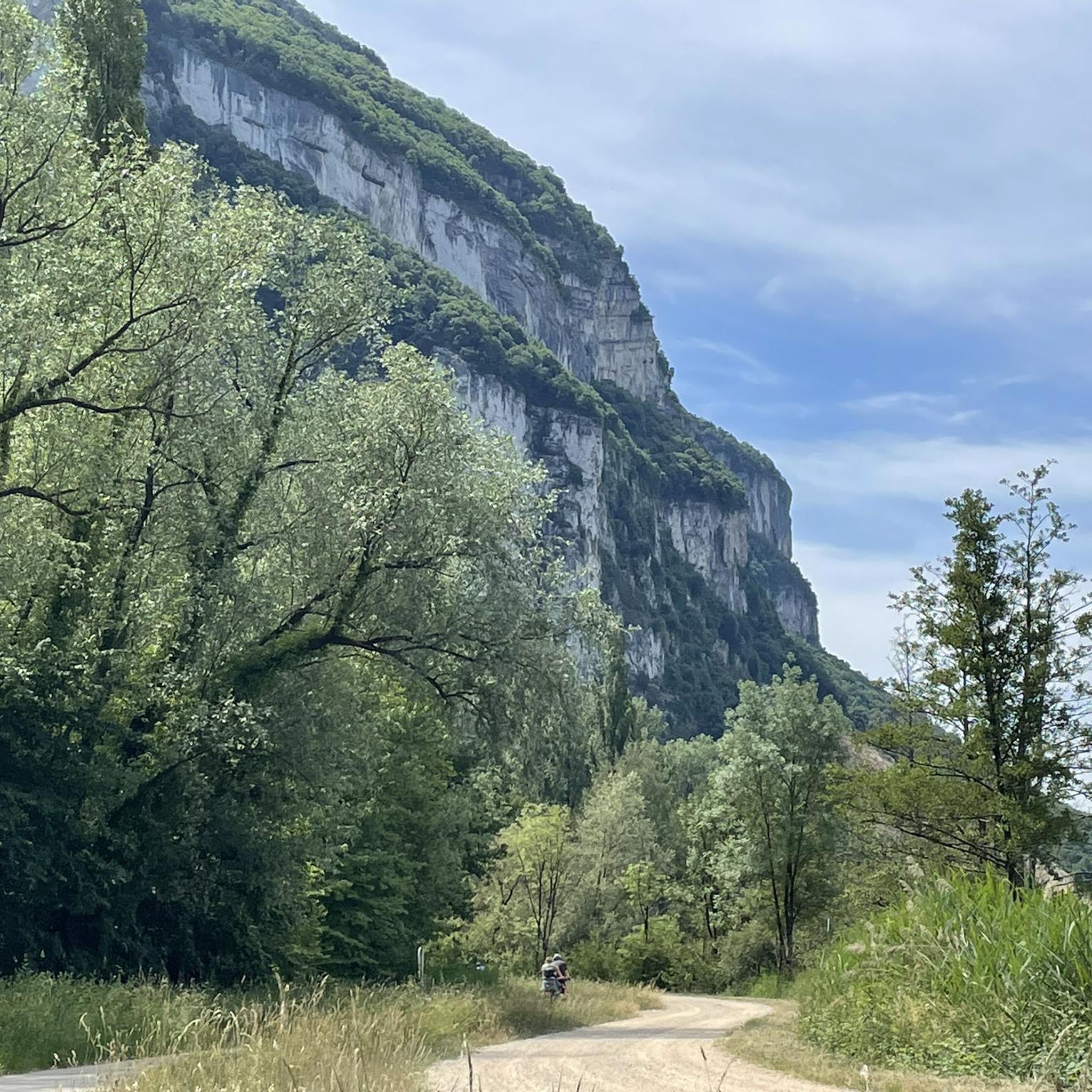
Col de la Lattaz is a mountain pass located at an altitude of 754 meters in the Savoie department, in the heart of the Avant-Pays savoyard. Although it is administratively located in Savoie, it geologically belongs to the Jura Massif. It is a popular spot for cyclists and hikers for its rural landscapes and its numerous access variants.
0
0

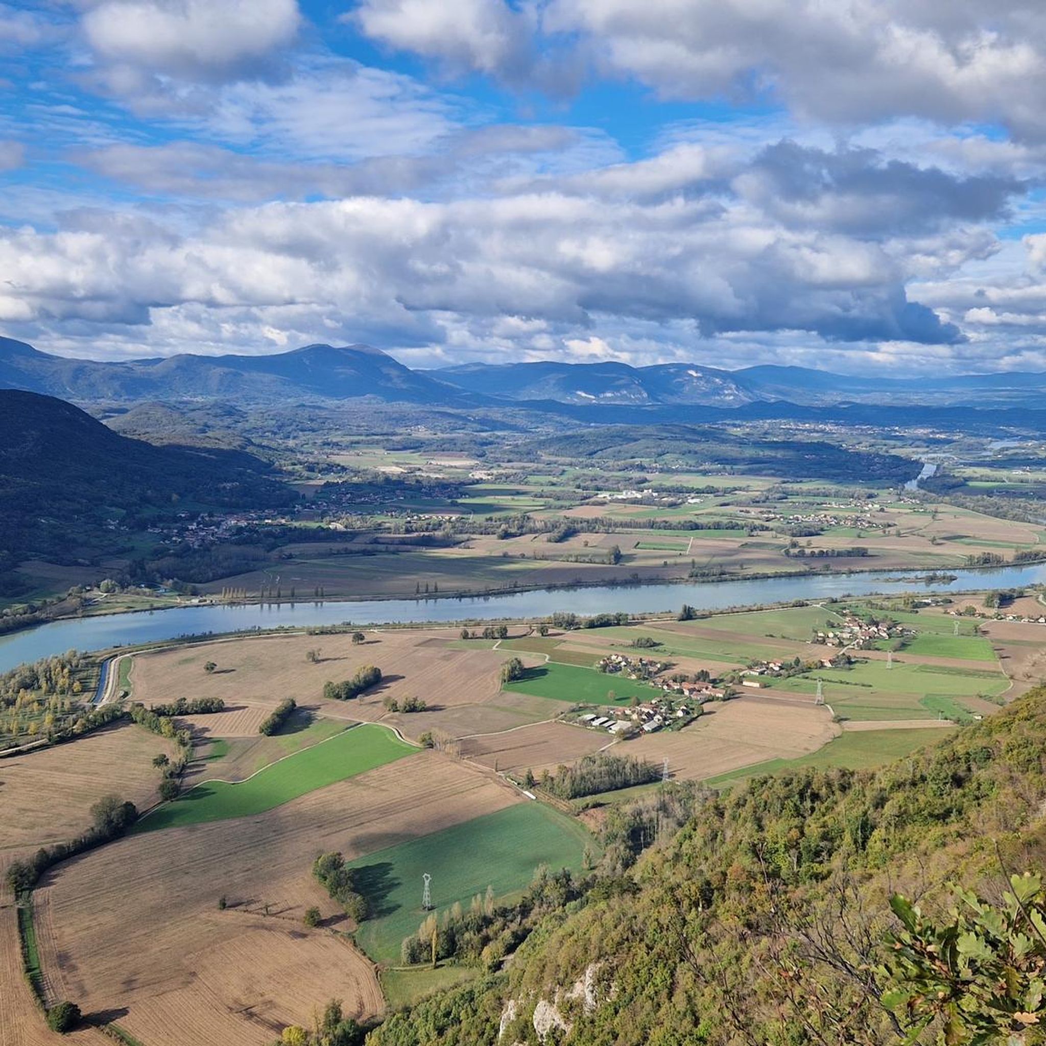
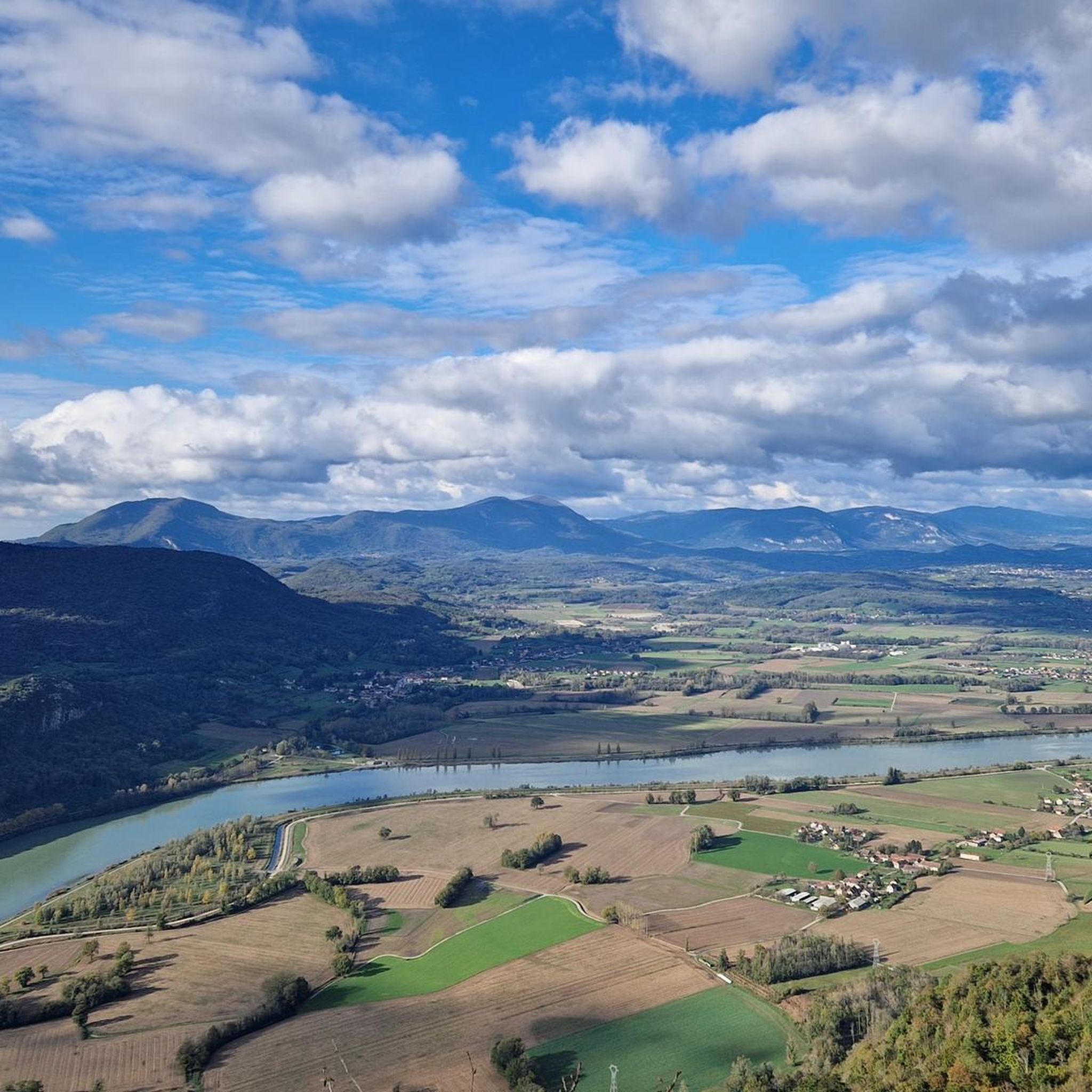
Very nice rest area with a magnificent view over the Rohne valley.
4
0

Wonderful viewpoint high above the Rhone
2
0

The Col de la Lattaz offers beautiful views. Located at an altitude of 754 meters, the climb from the Mont Tournier pass is rather gradual. The road continues around the summit of Mount Chaffaron.
1
0

A pleasant place to stop and have a picnic on the ViaRhôna cycle path.
1
0

Perfect for a short break
0
0

Nice and quiet place on the Rhone - good for a break.
1
0

Great view of the Rhone and the valley. Perfect for a little break.
3
0
Frequently Asked Questions
How many running routes are available around Loisieux?
Komoot offers nearly 150 diverse running routes around Loisieux. These routes cater to various fitness levels, ranging from easy paths to more challenging trails with significant elevation changes.
Are there easy running routes suitable for beginners in Loisieux?
Yes, Loisieux offers several easy running routes perfect for beginners or those seeking a relaxed jog. There are 6 identified easy routes, providing gentle terrain and shorter distances to help you enjoy the scenic surroundings without overexertion.
What kind of terrain can I expect on jogging trails in Loisieux?
The terrain around Loisieux is quite varied, featuring a mix of hills, low mountains, and the Rhône river valley. You'll find paths winding through forests, agricultural land, and open landscapes. Many trails offer shaded sections through woods, such as those found in areas like the Rothonne Forest, providing a pleasant environment for your run.
Are there any running routes with significant elevation gain for a challenging workout?
Absolutely. For experienced runners seeking a challenge, Loisieux has 48 difficult routes with notable elevation gains. A prime example is the Mount Tournier – Col de la Lattaz loop from Saint-Maurice-de-Rotherens, which is a difficult 7.2-mile (11.6 km) path offering substantial ascents and panoramic views of the surrounding hills.
Can I find circular running routes in the Loisieux area?
Yes, many of the running routes in Loisieux are circular, allowing you to start and finish at the same point. Examples include the popular Running loop from Saint-Pierre-d'Alvey and the Recorba Viewpoint – Mount Tournier loop from Loisieux, which takes you through forests and offers panoramic vistas.
What are some scenic viewpoints or natural attractions I might encounter on a run?
Loisieux is rich in scenic beauty. You can enjoy breathtaking views from the Belvédère du Site des Fils, offering a 180-degree panorama of the Rhône river, Grand Thur, Grand Colombier, and the Jura mountains. The Mont de Cordon Viewpoint also provides beautiful vistas of the Rhône. Some routes may even lead you past unique features like the bizarre rock formation of Pierre Vire or natural caves.
Are the running trails around Loisieux suitable for families?
While the guide doesn't specifically categorize routes as 'family-friendly,' the presence of 6 easy routes suggests options suitable for families with younger children or those looking for a less strenuous outing. These paths often wind through woods and agricultural landscapes, providing a pleasant environment for all.
Are there dog-friendly running routes in Loisieux?
Many natural trails in the Loisieux region are generally dog-friendly, especially those through forests and open countryside. However, it's always advisable to keep your dog on a leash, particularly in agricultural areas or near wildlife, and to respect local signage regarding pet access.
What is the best time of year to go jogging in Loisieux?
Loisieux offers great jogging opportunities throughout the year. Spring and autumn provide pleasant temperatures and vibrant scenery, with autumn often bringing a 'sea of clouds' phenomenon at viewpoints. Summer is ideal for shaded forest trails, while winter can offer unique, crisp views, though conditions may vary.
Is parking available near the trailheads in Loisieux?
Yes, parking is generally available near the starting points of many popular running routes and viewpoints in the Loisieux area. As you explore routes on komoot, specific tour details often include information about nearby parking facilities, making it convenient to access the trails.
What do other runners say about the trails in Loisieux?
The running routes in Loisieux are highly regarded by the komoot community, boasting an impressive average rating of 4.5 stars from over 80 reviews. More than 5,000 runners have explored the varied terrain, often praising the diverse landscapes, panoramic views, and the mix of challenging and accessible paths.
Are there routes that offer views of the Rhône river?
Yes, the Loisieux region is closely associated with the Rhône river, and several running routes provide stunning views of its meandering course. The Belvédère du Site des Fils and the Belvédère de Recorba are excellent spots to enjoy panoramic vistas of the Rhône and its valley during your run.
Most popular routes around Loisieux
Most popular attractions around Loisieux

Get inspired with the komoot mobile app


Explore more
Browse the best Running Trails & Routes in other regions.
