The best road cycling routes around Oberbruck
4.4
(439)
16,093
riders
88
rides
Road cycling around Oberbruck features a varied landscape, characterized by rolling hills, river valleys, and forested areas. The region includes notable climbs such as Col du Page and La Planche des Belles Filles, offering significant elevation gains. Road cycling routes often traverse alongside bodies of water like the Moselle river and Lake Michelbach, providing diverse terrain for cyclists. The area's topography supports routes ranging from gentle gradients to challenging ascents.
Best road cycling routes around Oberbruck
- The most popular road…
Last updated: October 9, 2026
4.7
(22)
795
riders
Moderate road ride. Good fitness required. Mostly well-paved surfaces and easy to ride.
5.0
(2)
136
riders
98.8km
04:45
1,390m
1,390m
Hard road ride. Very good fitness required. Mostly well-paved surfaces and easy to ride.

5.0
(1)
82
riders
66.0km
02:52
550m
550m
Moderate road ride. Good fitness required. Mostly well-paved surfaces and easy to ride.
4.2
(5)
51
riders
47.4km
01:59
280m
280m
Moderate road ride. Great for any fitness level. Some segments of this route may be unpaved and difficult to ride.
4.9
(8)
39
riders
17.8km
00:43
100m
100m
Easy road ride. Great for any fitness level. Mostly well-paved surfaces and easy to ride.
Get access to more routes and recommendations from other explorers.
Already have an account?
Our route recommendations are based on thousands of hikes, rides, and runs completed by other people on komoot.
Start today with a free account
Your next adventure awaits.


Tips from the Community

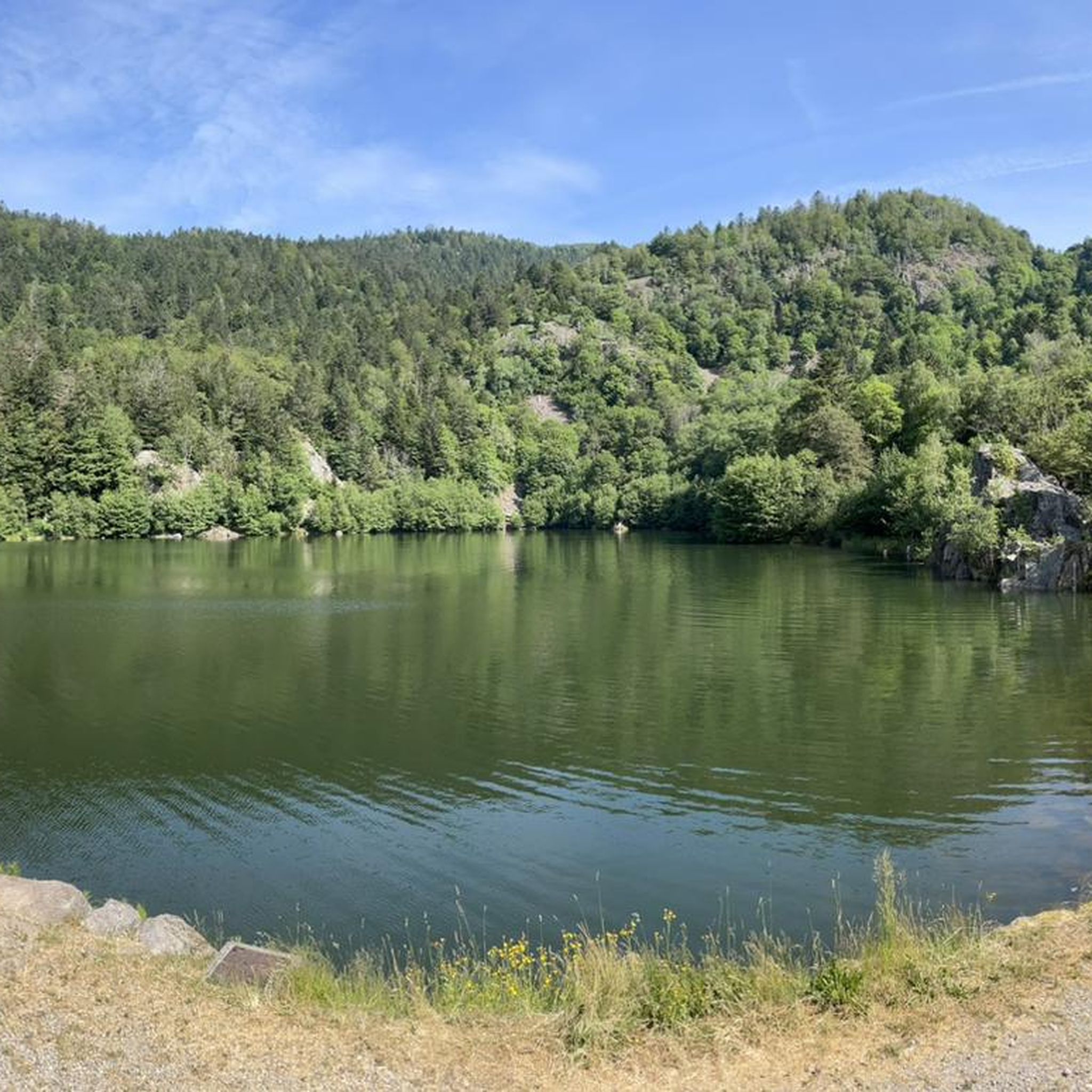
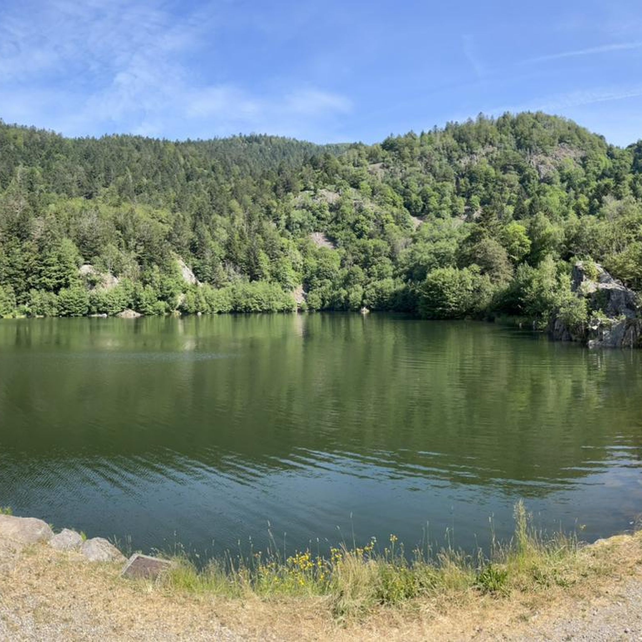
The Étang du Malsaucy (often also called Lac du Malsaucy) is, with an area of 55 hectares, the largest lake in the French department of Territoire de Belfort. It is nestled in the Parc naturel régional des Ballons des Vosges, spread across the municipalities of Évette-Salbert, Lachapelle-sous-Chaux, and Sermamagny. Originally built at the end of the 15th century for fish farming, it is now one of the most important recreational and natural areas in the region.
6
0
The Églises Saint-Martin (Sint-Martinuskerk) in Masevaux is a historic, neoclassical church in Alsace. The church is particularly known for its impressive organ history and the annual international organ festival
6
0
The fountain in the foreground, the walled cemetery, and the church together form a very photogenic ensemble.
6
0
Sewen forms the gateway to the climb to the Ballon d'Alsace. On warm days, you can still fill your drink bottles.
6
0
Een karakteristieke dorpskerk met opvallende torenspits en ommuurde begraafplaats, gelegen in het centrum van Sewen.
6
0
The Doller-fietspad (Voie Verte de la Vallée de la Doller) between Masevaux and Sewen largely follows a former railway line through the Doller valley in the southern Vosges. The route is approximately 10 to 12 km long, almost entirely car-free and asphalted. The gradient towards Sewen is very gradual, around 1%, making it a pleasant approach to the surroundings of the Ballon d'Alsace.
7
0
As soon as you enter the village centre of Le Ménil, the road noticeably steepens. From here, it is still 2.1 kilometers to the top. This section is very regular and has no surprises or steep outliers. The percentages constantly hover around 4.1%. You cover the last 86 meters of altitude here to the highest point at 621 meters.
1
0
Frequently Asked Questions
How many road cycling routes are available around Oberbruck?
There are over 80 road cycling routes around Oberbruck, offering a diverse range of options for different skill levels. You'll find 18 easy routes, 48 moderate routes, and 22 difficult routes to explore.
What types of terrain can I expect on road cycling routes in Oberbruck?
Road cycling around Oberbruck features a varied landscape, characterized by rolling hills, river valleys, and forested areas. You can expect routes that traverse alongside bodies of water like the Moselle river and Lake Michelbach, providing diverse terrain from gentle gradients to challenging ascents.
Are there road cycling routes suitable for beginners in Oberbruck?
Yes, Oberbruck offers several easy road cycling routes. An example is the Fountain at Ballon d'Alsace loop from Sewen, which is 11 miles (17.7 km) long and has minimal elevation gain, making it ideal for those new to road cycling.
Where can I find challenging road cycling routes with significant elevation gain?
For challenging routes with significant elevation gain, consider the Planche des Belles Filles – La Planche des Belles Filles loop from Sewen. This difficult 61.6-mile (99.1 km) path includes a substantial climb to La Planche des Belles Filles, known for its demanding gradients.
Are there any loop routes for road cycling in Oberbruck?
Yes, many road cycling routes in Oberbruck are designed as loops. For instance, the Col du Page Memorial (957 m) – Voie verte along the Moselle loop from Saint-Maurice-sur-Moselle is a popular 32.1-mile (51.6 km) loop that follows a greenway.
Which road cycling routes offer scenic viewpoints or natural attractions?
Many routes in Oberbruck offer scenic views. The Étang du Malsaucy – Fountain at Ballon d'Alsace loop from Sewen leads towards the Ballon d'Alsace, providing beautiful vistas. Routes near the Moselle river and Lake Alfeld also offer picturesque scenery.
Are there road cycling routes that follow rivers or lakes?
Absolutely. The region features routes that traverse alongside bodies of water. The Col du Page Memorial (957 m) – Voie verte along the Moselle loop from Saint-Maurice-sur-Moselle follows a greenway along the Moselle river. Another option is the Burnhaupt Station – Lake Michelbach loop from Sewen, which takes you past Lake Michelbach.
What is the best season for road cycling in Oberbruck?
The best season for road cycling in Oberbruck is typically from late spring to early autumn (May to October). During these months, the weather is generally mild, and the natural scenery is at its most vibrant. Always check local weather conditions before heading out.
How long do road cycling routes typically take in Oberbruck?
Route durations vary significantly based on distance and difficulty. For example, a moderate route like the Col du Page Memorial (957 m) – Voie verte along the Moselle loop from Saint-Maurice-sur-Moselle (32.1 miles) typically takes around 2 hours 32 minutes, while a more challenging 61.6-mile route can take over 4 hours 45 minutes.
What natural landmarks can I see while road cycling around Oberbruck?
While road cycling around Oberbruck, you can encounter several natural landmarks. Notable attractions include the Ballon d'Alsace, as well as beautiful lakes such as Lake Alfeld, Lac des Perches (Star Lake), and Neuweiher Lake.
What do other road cyclists say about the routes in Oberbruck?
The road cycling routes in Oberbruck are highly rated by the komoot community, with an average score of 4.5 stars from over 280 reviews. Cyclists often praise the varied landscape, the challenging climbs like Col du Page and La Planche des Belles Filles, and the scenic paths along rivers and lakes.
Most popular routes around Oberbruck
Most popular attractions around Oberbruck

Get inspired with the komoot mobile app


Explore more
Browse the best Road cycling routes in other regions.
