The best running trails around Röschlitz
4.0
(20)
1,611
runners
133
runs
Jogging routes around Röschlitz offer a variety of paths through its surrounding landscape. The region features a mix of open fields, woodlands, and gentle elevations, providing diverse settings for running. Many routes incorporate natural water features, such as ponds, and traverse areas with historical significance. The terrain is generally accessible, with options ranging from flat loops to paths with moderate climbs.
Best jogging routes around Röschlitz
- The most popular jogging route is Bonfol Ponds Loop, a 2.4 miles (3.9…
Last updated: September 24, 2026
3.5
(2)
3
runners
3.89km
00:26
30m
30m
Easy run. Great for any fitness level. Mostly paved surfaces. Suitable for all skill levels.
11
runners
9.47km
01:04
100m
100m
Hard run. Good fitness required. Sure-footedness, sturdy shoes and alpine experience required.

7
runners
17.4km
01:53
170m
170m
Hard run. Very good fitness required. Sure-footedness, sturdy shoes and alpine experience required.
7
runners
13.4km
01:24
110m
110m
Moderate run. Good fitness required. Mostly paved surfaces. Suitable for all skill levels.
9
runners
Moderate run. Good fitness required. Mostly paved surfaces. Suitable for all skill levels.
Get access to more routes and recommendations from other explorers.
Already have an account?
Our route recommendations are based on thousands of hikes, rides, and runs completed by other people on komoot.
Start today with a free account
Your next adventure awaits.

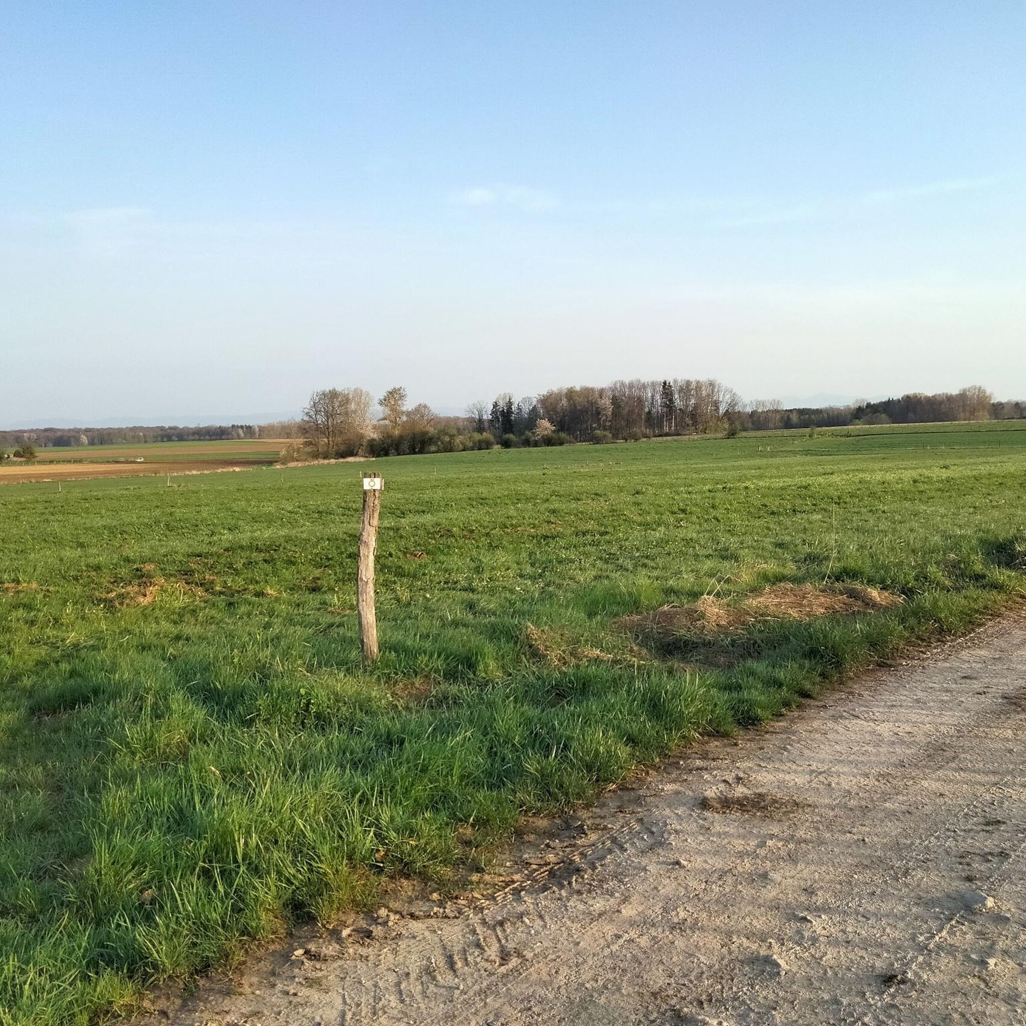
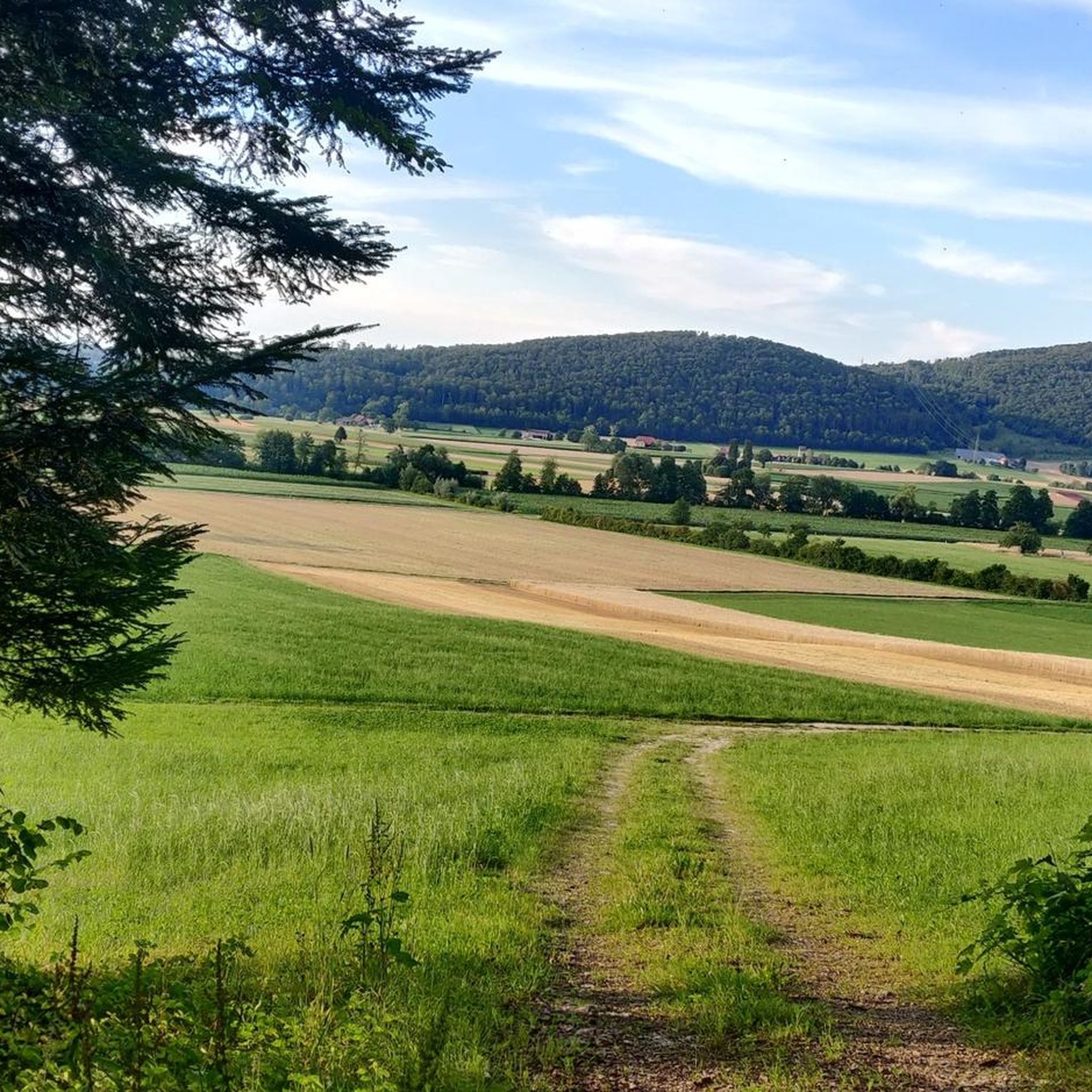
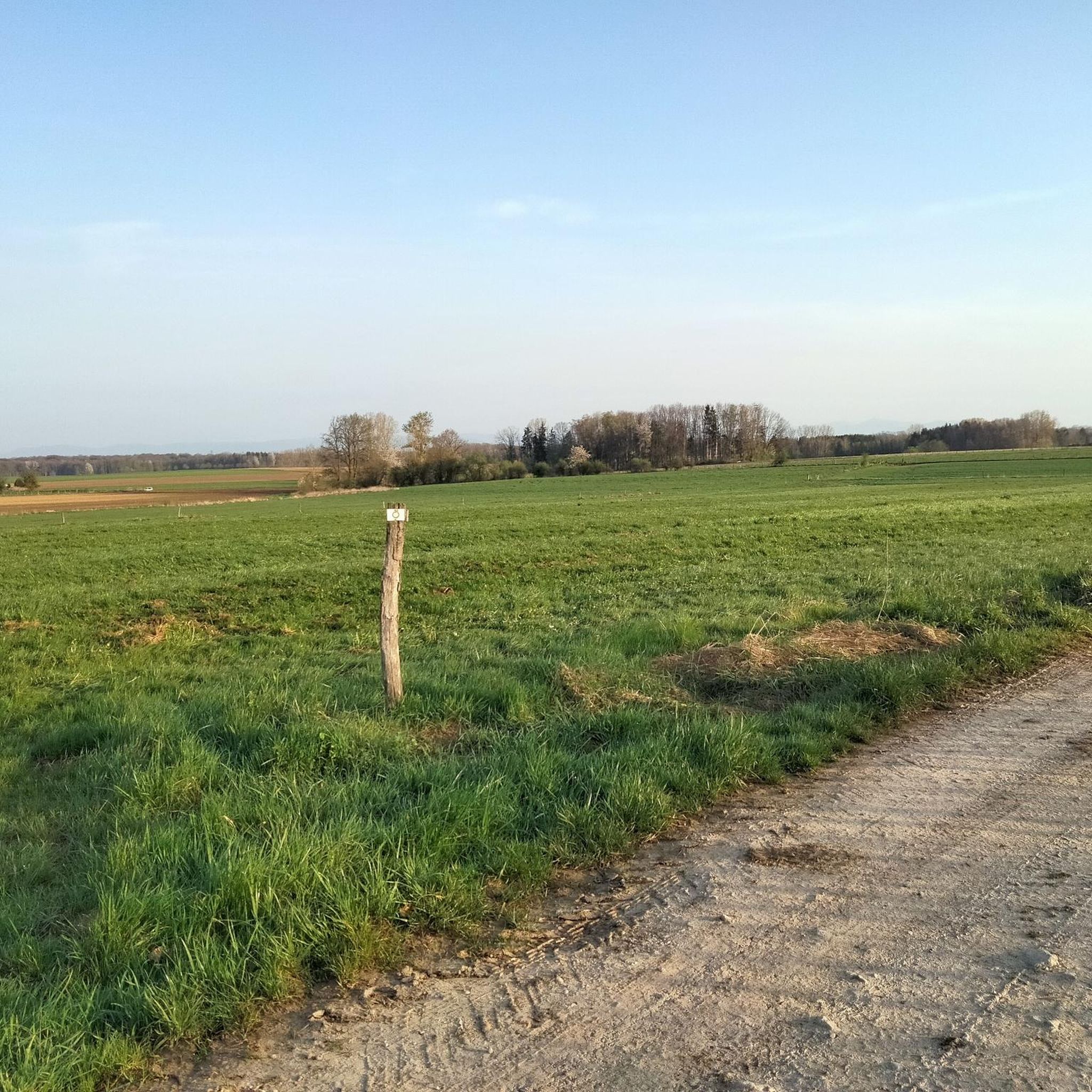
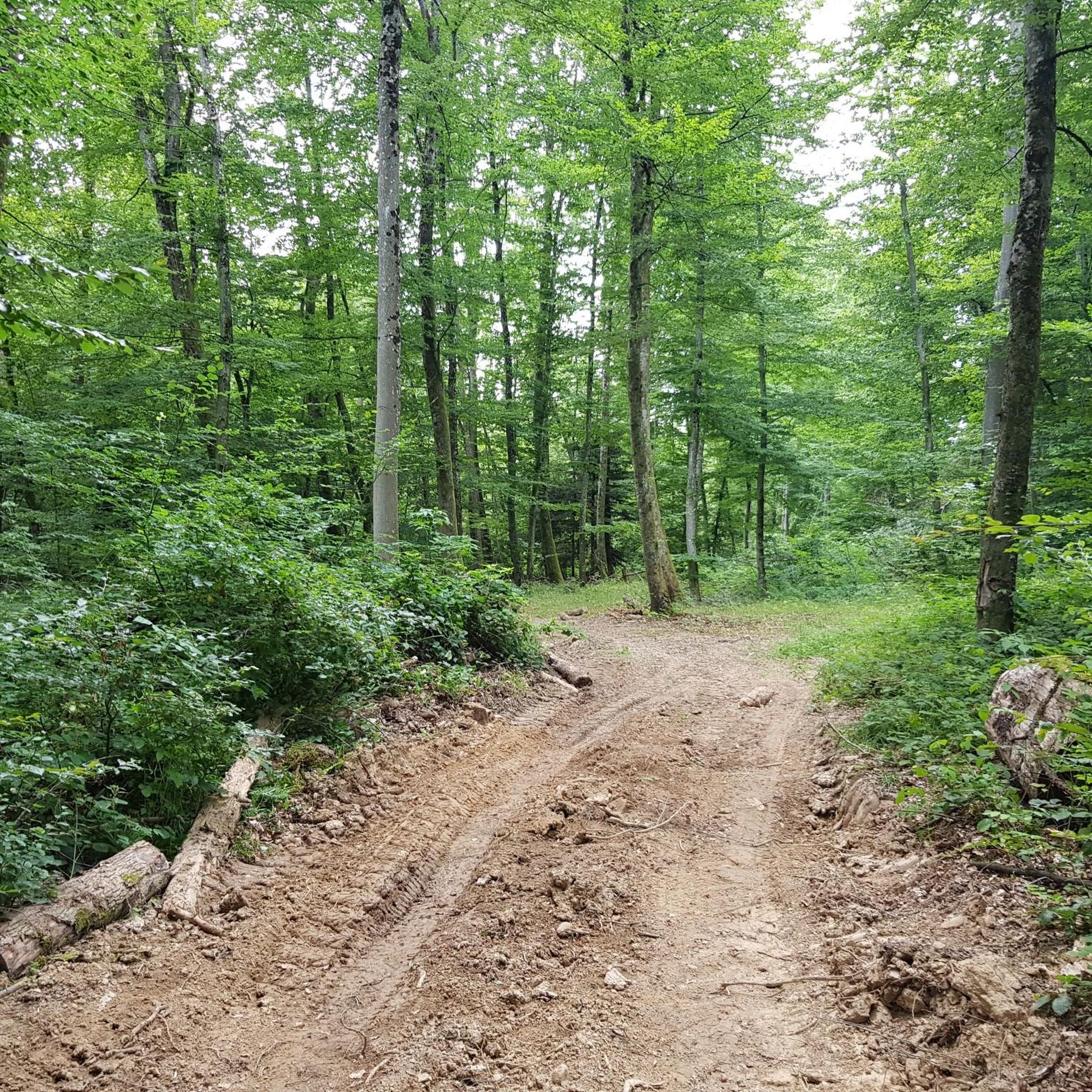
Tips from the Community

Observation post No. 2 in Largin was a Swiss wooden blockhouse during the First World War. From here, Swiss soldiers observed the French and German positions just a few hundred meters away and monitored Swiss neutrality. The post was thus located immediately at the southern end of the Western Front. The original blockhouse was reconstructed in 2012 based on historical models and can be visited today.
0
0
Kilometer 0 – Border stone of the Western Front The border stone No. 111 at Largin near Pfetterhouse marks the so-called “Kilomètre Zéro”, the southern starting point of the Western Front in World War I. From autumn 1914, the front ran here between France and Germany; on the Swiss side, the neutral Swiss army observed the events. From this point, the front line stretched for around 750 km to the North Sea. Today, the border stone, the reconstructed Swiss observation post, and numerous trenches and bunkers commemorate this special section of the Western Front.
0
0
The Ferme du Largin is located in the Swiss "corner" near Bonfol, directly at Kilomètre Zéro of the Western Front section. In the First World War, it was an important observation post for the Swiss army, which monitored the opposing French and German positions from here. The area became a meeting point for three armies in 1914–1918 – France, Germany, and Switzerland. Today, the Ferme is a working farm and the starting point of the 7.5 km long Kilomètre-Zéro circular trail, where numerous traces and fortifications of the former front can still be seen.
0
0
The Largtalbahn: Dannemarie–Pfetterhouse–Bonfol The line was called Largtalbahn in German, or the Dannemarie–Pfetterhouse railway line. It ran from Dannemarie (Dammerkirch) through the Largtal via Dannemarie → Altenach → Mertzen → Friesen → Seppois-le-Bas → Pfetterhouse → Swiss border → Bonfol → Porrentruy. The French section was about 20 km long. The line opened in 1910 and was initially a connection within the then German Empire, or between the German Empire and Switzerland. When the line was built, Alsace still belonged to the German Empire. The state treaty for the railway connection between Pfetterhausen and Bonfol was concluded in 1906 between the German Empire and Switzerland. With the start of the First World War, cross-border traffic was stopped. The border between Pfetterhouse and Bonfol was closed. At the same time, Pfetterhouse was located directly at the southern end of the Western Front. The railway could no longer be used simply as a normal international connection. The military significance of the area was considerable: military operations took place in the forests on both sides of the border, partly to prevent Alsatians from fleeing to Switzerland. Even today, traces of shell impacts are still present there.
0
0

At border post 111, on the French-Swiss border near Pfetterhouse, the Western Front of the First World War officially began in the autumn of 1914. This spot, where the borders of France, Germany and Switzerland had previously met, became the symbolic Kilometre Zero of a front line that stretched over 750 kilometres to the North Sea. Today it is a peaceful spot along a hiking and cycling trail, where you literally stand at the start of one of the most defining fronts in modern history.
8
0
This region has hundreds of small fishponds, once created by monks in the Middle Ages. Today they form a patchwork of water, reeds and forest – a paradise for birds, cyclists and those seeking peace and quiet. You cycle along quiet banks, see herons take flight and enjoy local specialities such as fried carp along the way.
7
0
Near the border stone 111, the official Kilometre Zero of the Western Front, there was a wooden observation post of the Swiss army during the First World War. This Poste d'observation N°2 offered a view of the French and German lines, while Switzerland maintained its neutrality 1. The post was a symbol of the tense calm at this unique border location, where three armies followed each other closely. Today, the site has been partly reconstructed and forms a special historical point along the hiking and cycling path in the far south of Alsace.
8
0
Ferme du Largin – border farm between war and neutrality: The Ferme du Largin is located on a Swiss border spur near Pfetterhouse, at a symbolic place where France, Germany and Switzerland met. During the First World War, it was an important observation point on the edge of the front, guarded by neutral Switzerland. The farm was shelled in October 1914, which led to a diplomatic incident between Germany and Switzerland. During the Second World War, it became a refuge for resistance fighters and refugees. Today, the farm has been partly restored and is a silent witness to border history, war and human resilience.
7
0
Frequently Asked Questions
How many running routes are available around Röschlitz?
There are over 120 jogging routes around Röschlitz, offering a wide range of options for different fitness levels and preferences. This includes 10 easy routes, 106 moderate routes, and 11 difficult routes.
Are there easy running trails suitable for beginners near Röschlitz?
Yes, Röschlitz offers 10 easy running routes perfect for beginners or those looking for a relaxed jog. An excellent option is the Bonfol Ponds Loop, which is 3.9 km (2.4 miles) long and takes about 26 minutes to complete, offering pleasant views of local ponds.
What are the typical lengths of running routes in the Röschlitz area?
Running routes around Röschlitz vary significantly in length. You can find shorter loops like the 3.9 km (2.4 miles) Bonfol Ponds Loop, as well as longer, more challenging paths such as the 17.4 km (10.8 miles) Historic Border Marker D/F/CH – Km 0 loop from Bonfol.
Are there any circular running trails around Röschlitz?
Many of the running routes in Röschlitz are circular, allowing you to start and end at the same point. Examples include the Historic Border Marker D/F/CH – Km 0 loop from Pfetterhouse and the Étangs de Bonfol – Historic Border Marker D/F/CH loop from Basse-Vendline.
What kind of scenery can I expect on the jogging routes near Röschlitz?
The jogging routes around Röschlitz offer diverse scenery, including open fields, tranquil woodlands, and gentle elevations. Many paths also feature natural water bodies like ponds and traverse areas with historical significance, such as border markers.
Are there any interesting landmarks or attractions along the running paths?
Yes, several routes pass by or are close to interesting landmarks. You might encounter historical sites like the Three Powers Boundary Stone or the Chapelle Saint-Martin. For nature lovers, the Porrentruy Botanical Garden is also nearby.
What do other runners say about the trails in Röschlitz?
The running routes in Röschlitz are highly regarded by the komoot community, with an average rating of 3.6 stars from over 10 reviews. Runners often praise the varied terrain, from open fields to woodlands, and the historical points of interest along the paths.
Are there any long-distance running paths available in the Röschlitz region?
For those seeking longer distances, Röschlitz offers several extended running paths. The Historic Border Marker D/F/CH – Km 0 loop from Bonfol is a notable option, stretching 17.4 km (10.8 miles) through historical landscapes.
What is the best time of year for running in Röschlitz?
The region around Röschlitz is suitable for running throughout much of the year. Spring and autumn offer pleasant temperatures and vibrant scenery, while summer provides longer daylight hours. Winter running is also possible, though conditions may vary depending on snow and ice.
Can I find running routes that are suitable for families with children?
While specific 'family-friendly' designations aren't always explicit, many of the easier and shorter routes, particularly those with minimal elevation gain, can be suitable for families. The Bonfol Ponds Loop, being an easy 3.9 km path, is a good starting point for a family jog.
Are there any running routes that offer views of water features?
Yes, many routes in the Röschlitz area incorporate natural water features. The Bonfol Ponds Loop, as its name suggests, offers scenic views of local ponds and surrounding nature.
Most popular attractions around Röschlitz

Get inspired with the komoot mobile app


Explore more
Browse the best Running Trails & Routes in other regions.
