The best cycling routes around Röschlitz
4.4
(188)
1,814
riders
125
rides
Touring cycling around Röschlitz offers diverse terrain characterized by volcanic hills, dense woodlands, and historic quarry landscapes. The region's defining feature is the Rochlitzer Berg, a volcanic hill composed of reddish Porphyr rock, with elevations reaching approximately 1,150 feet (350 meters). Extensive forested areas provide scenic routes, while former quarries add geological interest to the cycling paths.
Best touring cycling routes around Röschlitz
- The most popular touring cycling route is Port of Dannemarie – Largue Valley Cycle Path loop from…
Last updated: October 28, 2026
4.5
(10)
21
riders
41.6km
02:42
210m
210m
Hard bike ride. Good fitness required. You may need to push your bike for some segments of this route.
11
riders
28.8km
02:25
350m
350m
Moderate bike ride. Good fitness required. Mostly paved surfaces.

5.0
(2)
8
riders
30.3km
01:46
170m
170m
Moderate bike ride. Good fitness required. Mostly paved surfaces.
5.0
(1)
5
riders
32.4km
01:57
230m
230m
Moderate bike ride. Good fitness required. Mostly paved surfaces.
5.0
(1)
8
riders
31.1km
01:55
250m
250m
Hard bike ride. Good fitness required. You may need to push your bike for some segments of this route.
Get access to more routes and recommendations from other explorers.
Already have an account?
Our route recommendations are based on thousands of hikes, rides, and runs completed by other people on komoot.
Start today with a free account
Your next adventure awaits.

Tips from the Community

The chapel Notre-Dame du Grunenwald probably dates back to the 15th century and has been an important place of pilgrimage for centuries. According to legend, children found a statue of Mary in the forest, whereupon a first chapel was built at this spot. In the 16th century, it was expanded by the Order of Saint John/Knights of Malta and later rebuilt, including in 1705. During the First World War, the chapel was severely destroyed by artillery fire. The current chapel was built between 1930 and 1933. The historical statue of Mary and some stones from the previous building have been preserved to this day.
0
0
The Dreiländerstein from 1871 stands in the area near Largitzen/Pfetterhouse and commemorates the then border between France, Germany and Switzerland after the Franco-Prussian War and the annexation of Alsace-Lorraine by the German Empire.
0
0

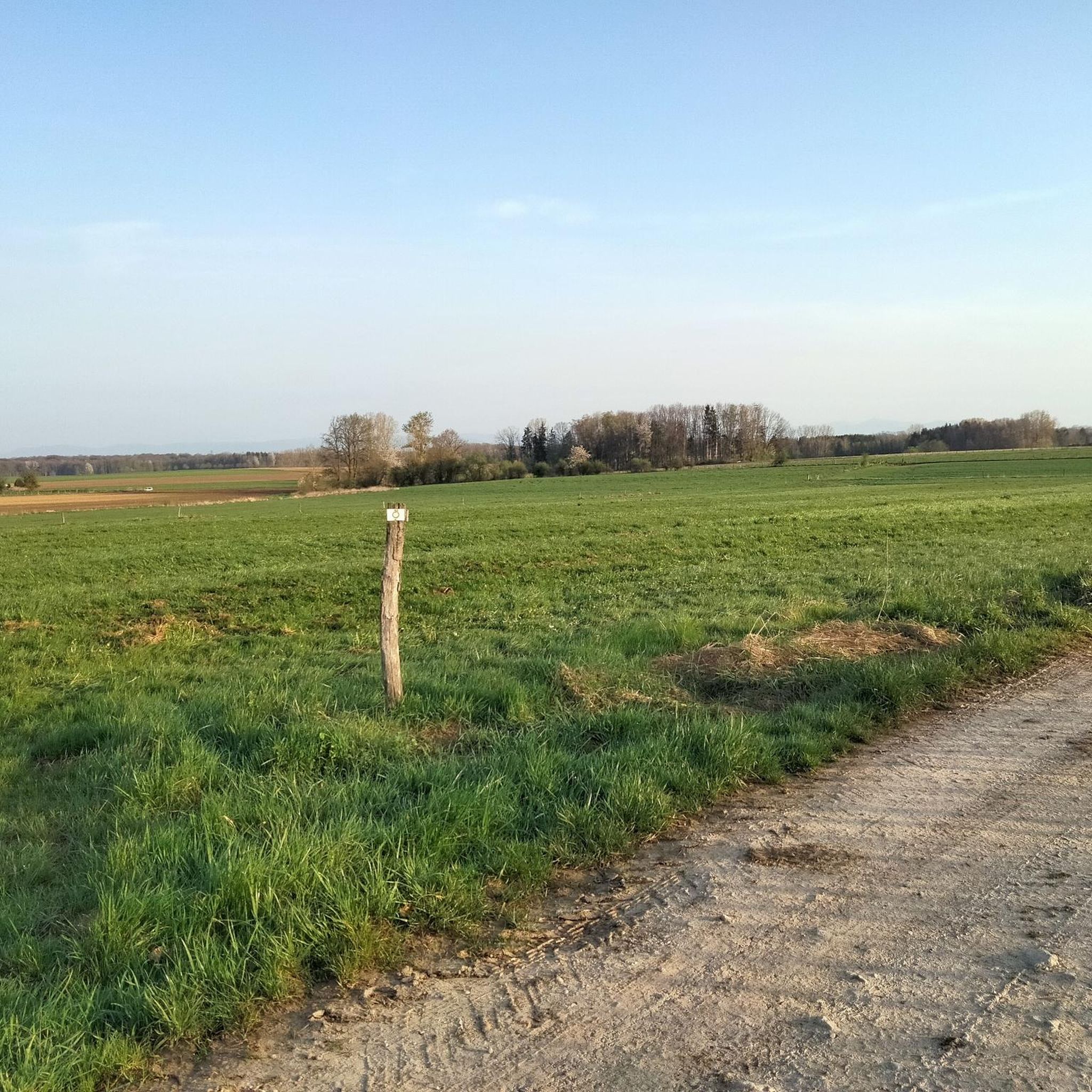
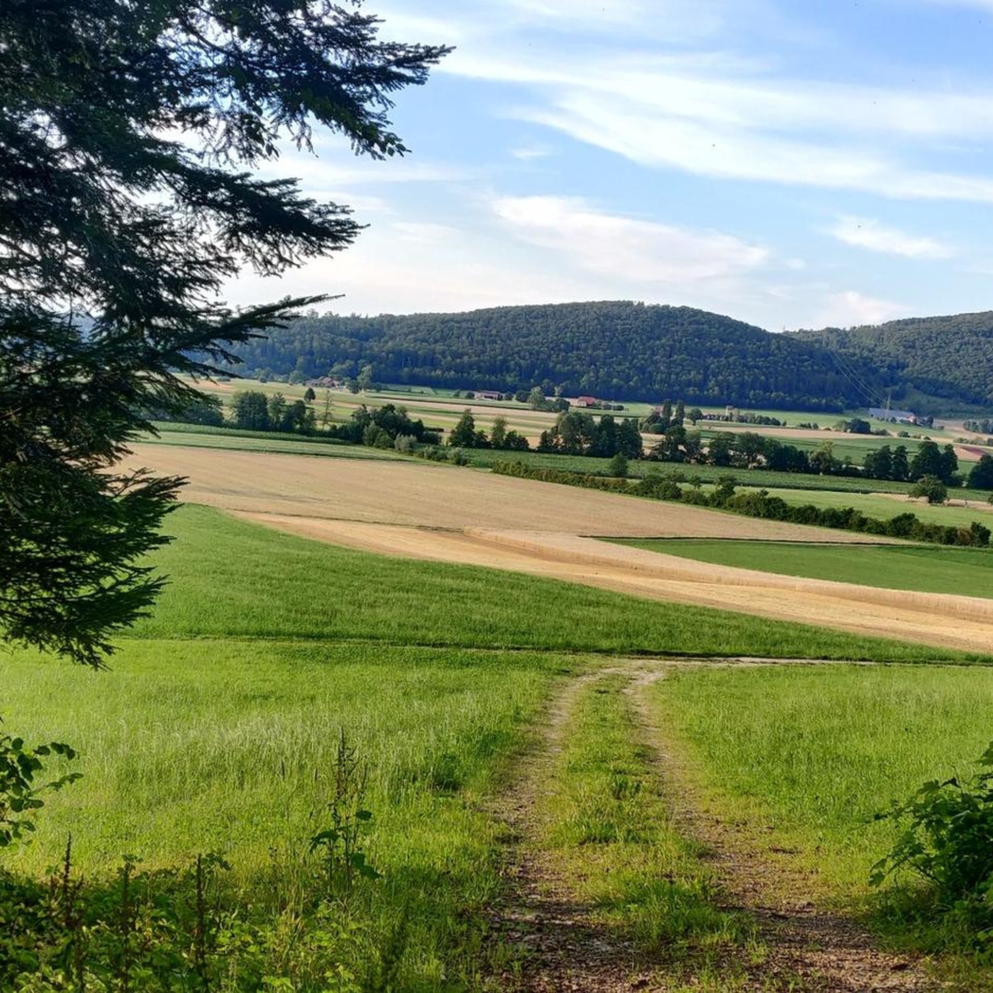
Beautiful cycle path here we are still on the EV6
0
0

The original church of the lower village parish was dedicated to the Virgin Mary and then to Saint Anthony the Hermit, but in 1842, Father Acker established Saint Geron as the main patron saint. In 1802, the two parishes of Pfetterhouse were united, and there was only one church. The current bell tower was built in 1900 by the architect Alexandre Louvat from Mulhouse. The old furnishings were gradually replaced. This church is the only one in Alsace to have Saint Geron as its patron saint.
1
0

No idea why I didn't write anything about this...🤔😅
0
1
Interesting railway viaduct.
0
1
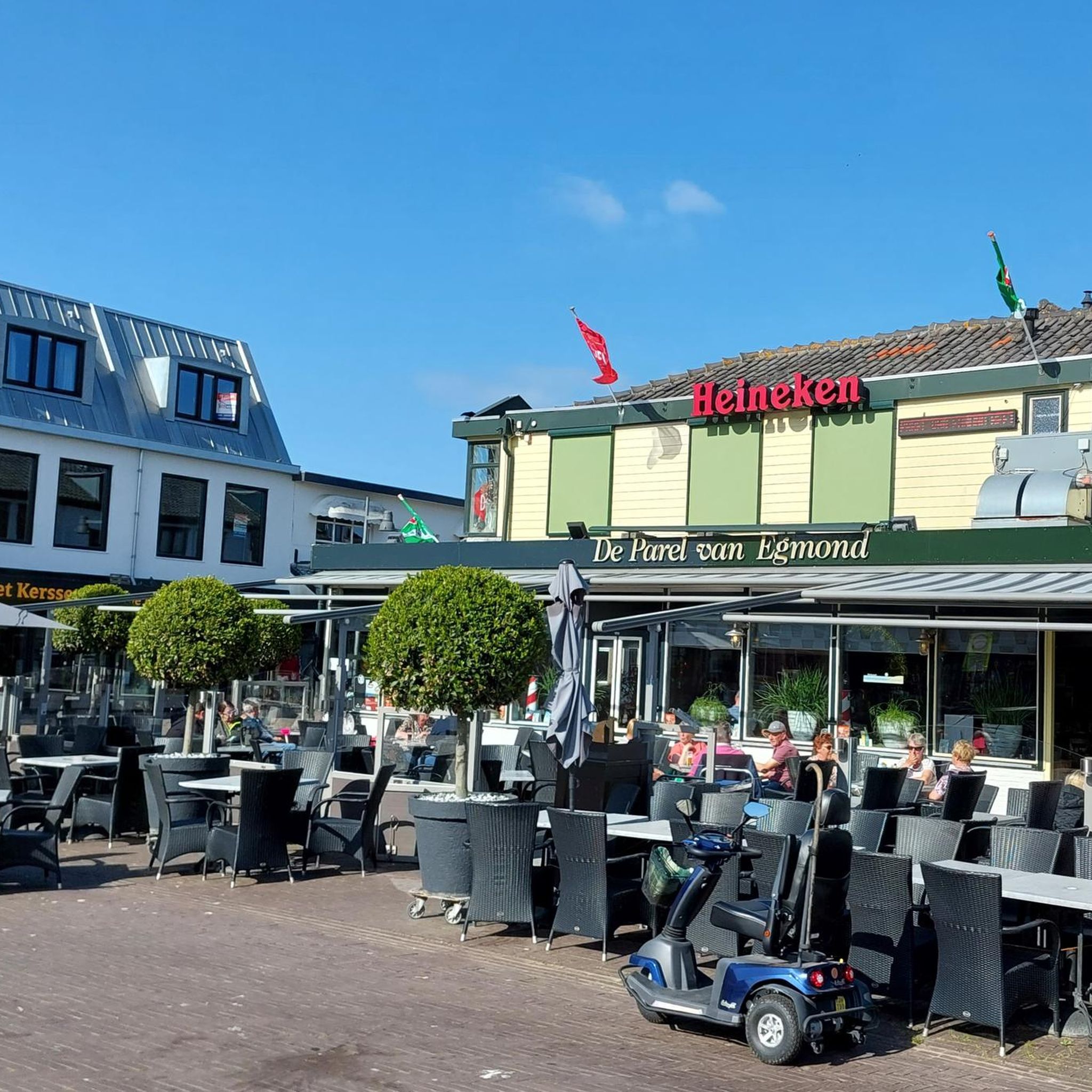
Restaurant in Dannemarie on EV6.
0
0

Pfetterhouse is located in the southernmost part of Alsace, near the Swiss border, and marks the symbolic starting point of the Western Front in World War I. During the Battle of Alsace in August 1914, French troops took the village. From that moment on, Pfetterhouse became the official Kilometre 0 point of the front line, which then stretched for almost 750 km to the North Sea. In the village centre, you will find the Église Saint-Géréon, a neo-Gothic church from 1884 with a rare 16th-century Pietà and a striking tower. The old railway line, now a cycle path, is also a reminder of the past.
9
0
Frequently Asked Questions
How many touring cycling routes are available around Röschlitz?
There are over 130 touring cycling routes in the Röschlitz area, offering a wide variety of options for different skill levels and preferences.
What kind of terrain can I expect on touring cycling routes in Röschlitz?
The Röschlitz region is characterized by diverse terrain, including volcanic hills like the Rochlitzer Berg, dense woodlands, and historic quarry landscapes. Routes often feature mostly paved surfaces, with varied gradients suitable for both moderate and challenging rides.
Are there any easy touring cycling routes suitable for beginners in Röschlitz?
Yes, Röschlitz offers 21 easy touring cycling routes. While specific beginner routes aren't detailed here, these trails are generally shorter and have less elevation gain, making them ideal for those new to touring cycling or looking for a relaxed ride.
Which routes offer a more challenging touring cycling experience?
For those seeking a challenge, there are 37 difficult touring cycling routes around Röschlitz. An example of a more demanding route is the Port of Dannemarie – Largue Valley Cycle Path loop from Seppois-le-Bas, which covers 25.8 miles (41.6 km) and features varied landscapes.
What natural features can I see along the touring cycling routes in Röschlitz?
The region boasts extensive woodlands and unique historic quarry landscapes. You might also encounter natural monuments such as the Source de la Largue or explore geological formations like the Milandre Caves and Mannlefelsen Cave.
Are there any historical landmarks or attractions along the cycling routes?
Yes, many routes pass by significant historical sites. While not directly on every route, the broader region features prominent landmarks like Rochlitz Castle, Colditz Castle, and Rochsburg Castle. You can also find attractions such as the Three Powers Boundary Stone or the historic Château du Morimont.
Are there any circular touring cycling routes in Röschlitz?
Many of the touring cycling routes in Röschlitz are designed as loops. For instance, the Uberstrass Water Wheel – Former Hirtzbach station loop from Ueberstrass is a moderate 17.9-mile (28.8 km) circular path that showcases natural scenery and historical points of interest.
What do other touring cyclists say about the routes in Röschlitz?
The touring cycling routes in Röschlitz are highly rated by the komoot community, with an average score of 4.5 stars from over 140 reviews. Cyclists often praise the varied terrain, scenic woodlands, and the mix of natural beauty with historical points of interest.
Can you recommend a moderate touring cycling route?
A popular moderate route is the Maison de la Nature du Sundgau – The Sundgau ponds loop from Seppois-le-Bas. This 18.8-mile (30.3 km) trail leads through varied natural landscapes and is typically completed in about 1 hour 46 minutes.
Are there routes that incorporate river valleys or water features?
Yes, some routes navigate varied landscapes, including sections through river valleys. The Largue Bike Path – The ponds of the Sundgau loop from Seppois-le-Bas is an example of a route that features ponds and water elements.
What is the elevation like on touring cycling routes in Röschlitz?
The region's defining feature, the Rochlitzer Berg, reaches approximately 1,150 feet (350 meters), meaning routes can include varied gradients and elevation changes. For example, the EuroVelo 6 in Dannemarie – Port of Dannemarie loop from Friesen involves an elevation gain of around 235 meters.
Most popular routes around Röschlitz
Most popular attractions around Röschlitz

Get inspired with the komoot mobile app


Explore more
Browse the best Cycling routes in other regions.