The best road cycling routes around Ban-De-Sapt
4.3
(330)
3,438
riders
182
rides
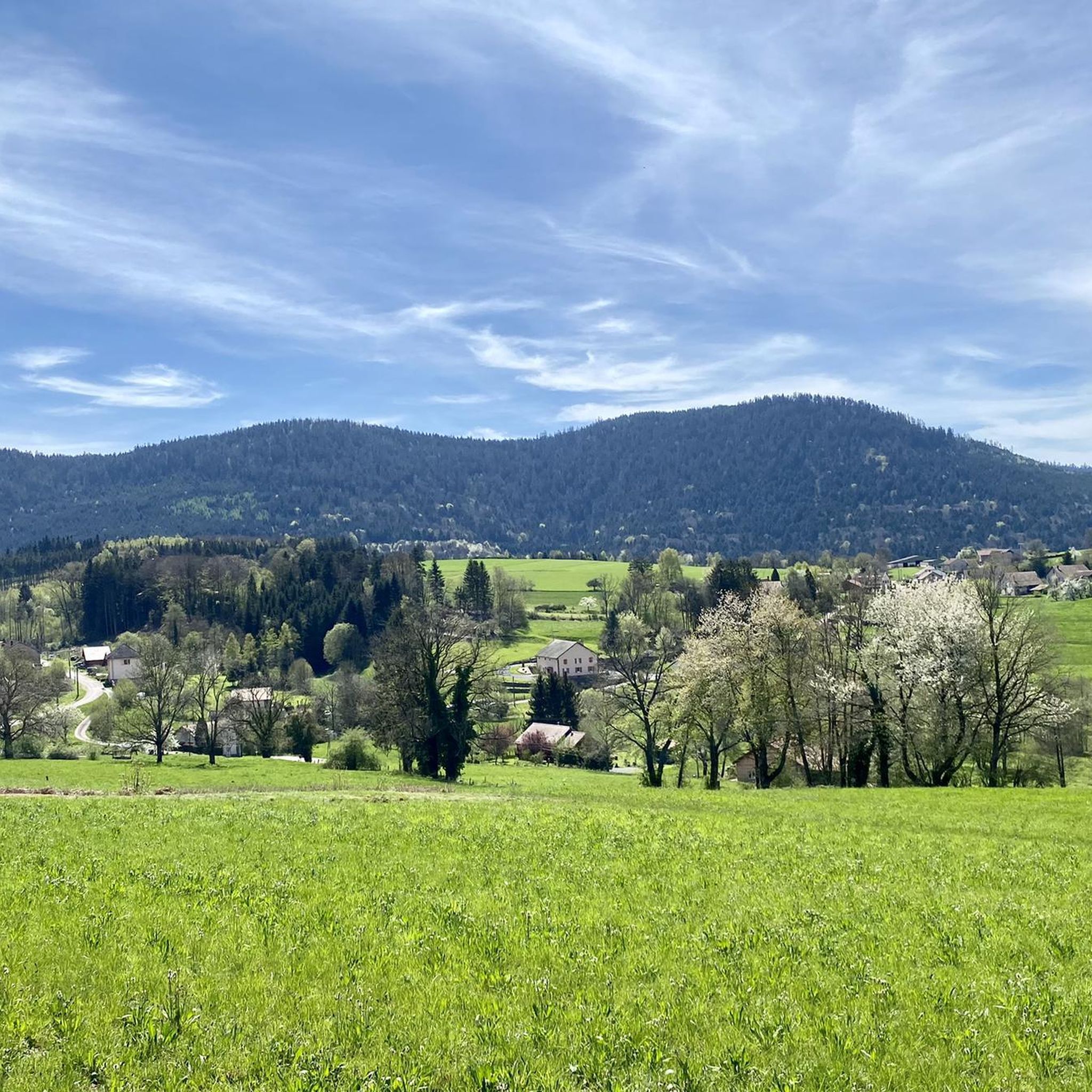
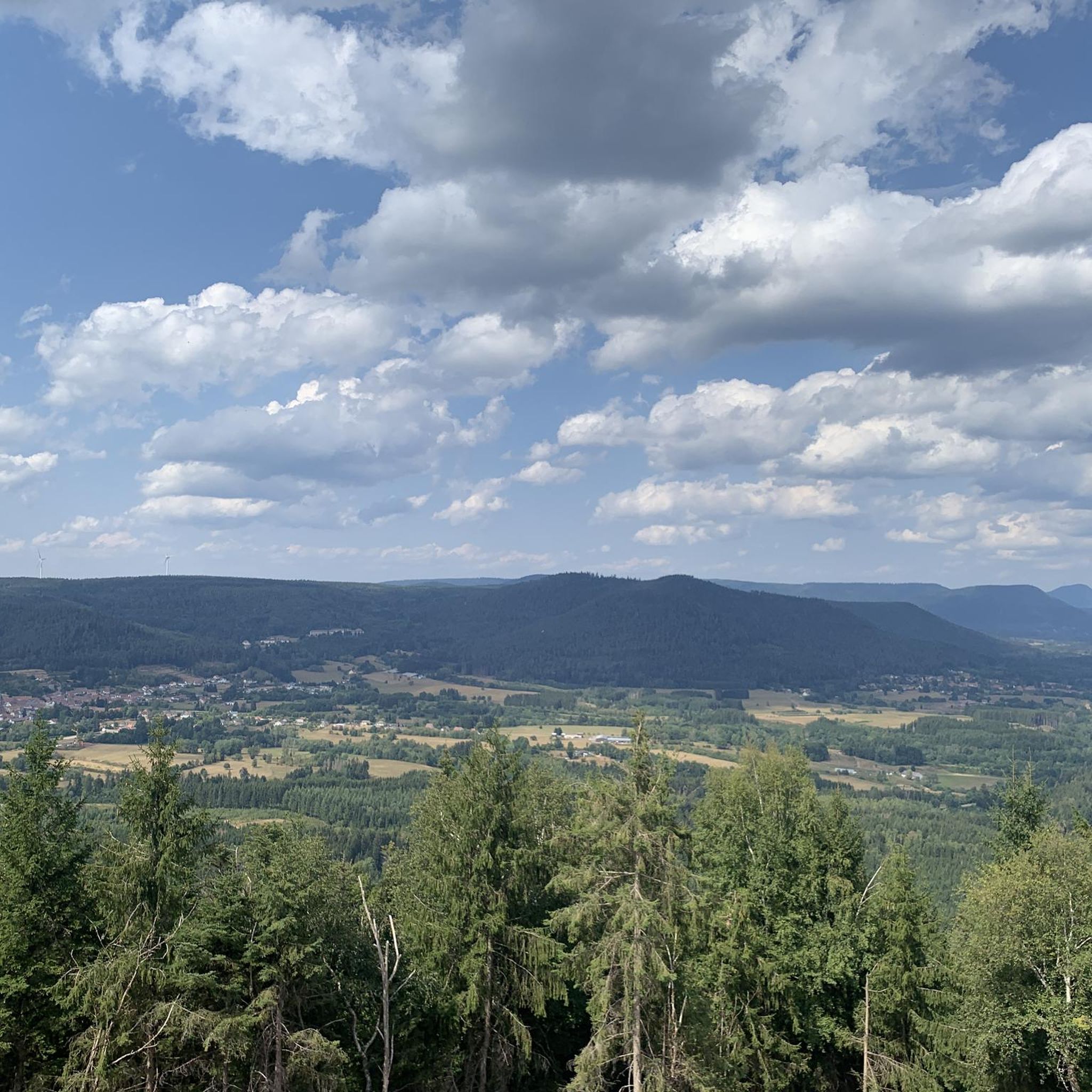
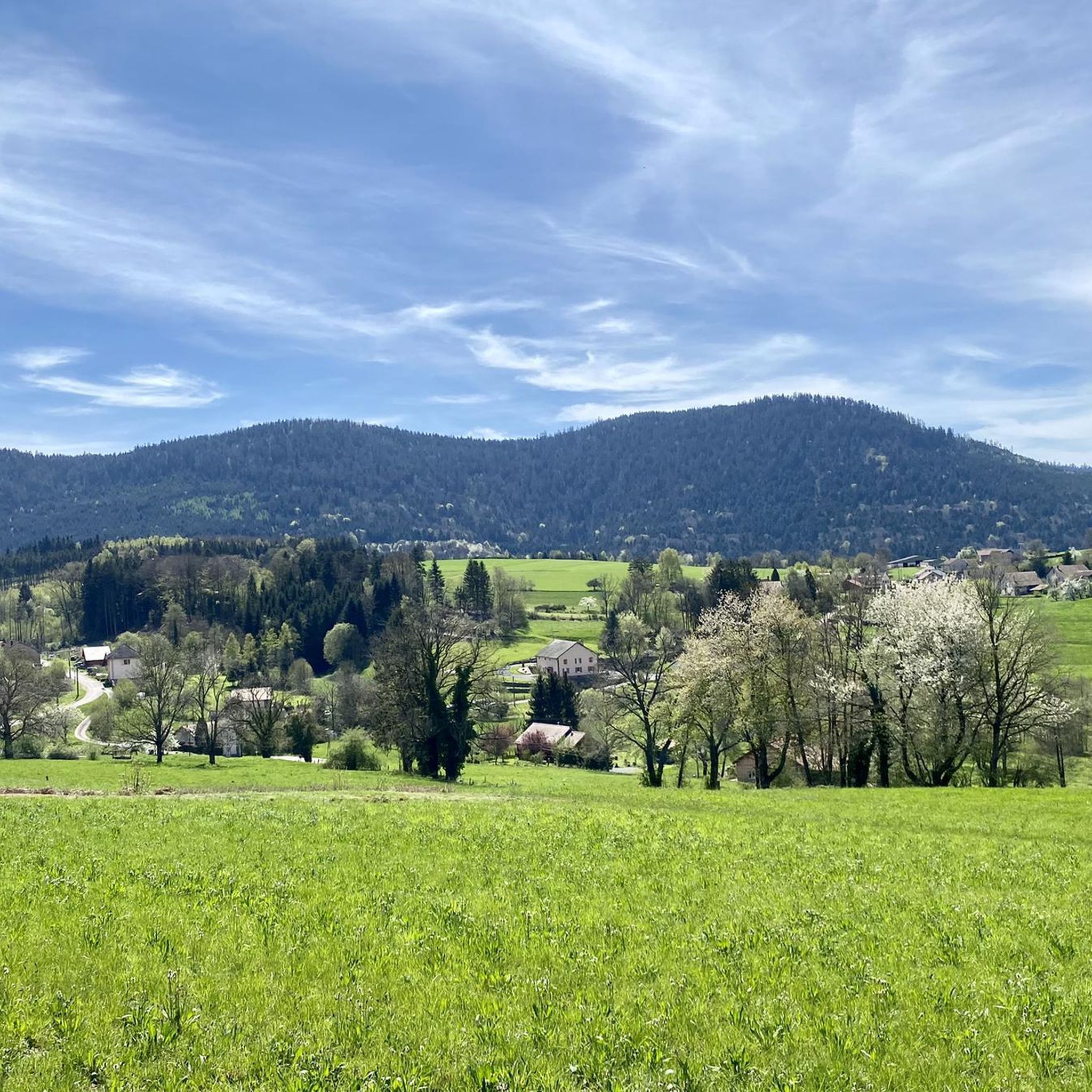
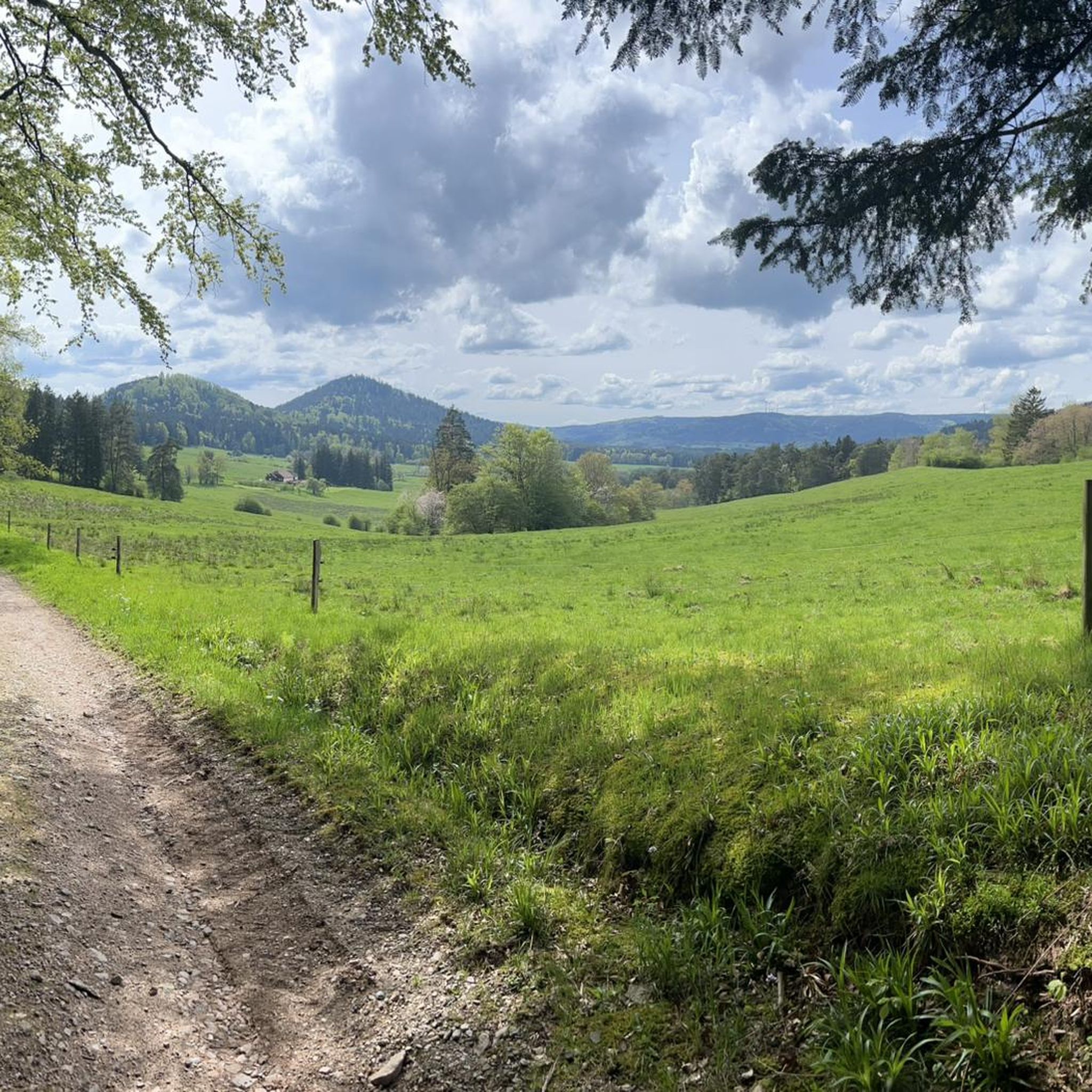
Road cycling around Ban-De-Sapt is characterized by its location within the Vosges massif, offering a diverse landscape of rolling hills, dense fir forests, and accessible valleys. The region features significant elevation changes, providing a mix of challenging climbs and scenic descents. Cyclists can expect routes that traverse varied terrain, from quiet roads winding through valleys to more strenuous ascents leading to elevated viewpoints. This environment makes it suitable for various road cycling experiences.
Best road cycling routes around Ban-De-Sapt
- The…
Last updated: October 8, 2026
20
riders
49.8km
02:36
910m
910m
Hard road ride. Very good fitness required. Mostly well-paved surfaces and easy to ride.
3.8
(31)
163
riders
49.5km
02:13
430m
430m
Moderate road ride. Good fitness required. Mostly well-paved surfaces and easy to ride.

3.0
(9)
93
riders
60.9km
03:03
950m
950m
Hard road ride. Very good fitness required. Mostly well-paved surfaces and easy to ride.
5.0
(1)
84
riders
59.7km
03:14
1,030m
1,030m
Hard road ride. Very good fitness required. Mostly well-paved surfaces and easy to ride.
5.0
(1)
45
riders
86.2km
04:41
1,680m
1,680m
Hard road ride. Very good fitness required. Mostly well-paved surfaces and easy to ride.
Get access to more routes and recommendations from other explorers.
Already have an account?
Our route recommendations are based on thousands of hikes, rides, and runs completed by other people on komoot.
Start today with a free account
Your next adventure awaits.

Tips from the Community

This peaceful pond in the middle of the woods is very close to a large parking lot, an ideal starting point for hikes.
4
0

If you take the climb from Mandray village - and follow the - rusty - sign to the Col - that is different kind of cookie! 2, 9 km , averages at 11% with peaks up to 17%, and tough road conditions. Descend to Fraize is a blast!
0
0

Beautiful route, pleasant but lots of bikers...
0
0


Beautiful hiking destination, there is also a cycling route
0
0

... is recommended before the long climb to the Champ du Feu
0
0

A long and beautiful forest road. However, it's bumpy in places on a road bike!
0
0
Magnificent pass to climb from different slopes (Breitenbach, Steige, Vallée de la Bruche, Andlau). It is also a crossing point towards the Champ du feu, the Hohwald, the Mont Ste Odile.
0
0
Frequently Asked Questions
How many road cycling routes are available around Ban-De-Sapt?
There are nearly 180 road cycling routes around Ban-De-Sapt, offering a wide variety of options for different skill levels. The komoot community has explored over 2,700 of these routes, providing valuable insights and ratings.
What kind of terrain can I expect when road cycling in Ban-De-Sapt?
Road cycling in Ban-De-Sapt, nestled in the Vosges massif, features a diverse landscape of rolling hills, dense fir forests, and accessible valleys. You can expect significant elevation changes, providing a mix of challenging climbs and scenic descents on mostly paved surfaces. The region is known for its varied topography, offering both ascents and descents that provide a sense of freedom and exploration.
Are there road cycling routes suitable for beginners or those looking for an easier ride?
Yes, Ban-De-Sapt offers routes for all abilities. While many routes feature significant climbs, there are 20 easy routes available. For example, the Liberty Tower – Saint-Dié Cathedral loop from Moyenmoutier is an easy route covering 32 km with a moderate elevation gain, perfect for a more relaxed ride.
What are some of the more challenging road cycling routes in the area?
For experienced road cyclists seeking a challenge, Ban-De-Sapt offers 47 difficult routes. Notable options include the Col d‘Urbeis — loop from Saâles, a 49.8 km route with over 900 meters of elevation gain, and the Hantz Pass – Prayé Forest Road loop from Senones, which covers 60.7 km with over 1000 meters of climbing through forested areas.
What natural features and viewpoints can I discover along the road cycling routes?
The region is rich in natural beauty and panoramic views. Cyclists can encounter stunning vistas from locations like La Roche Saint-Martin and View of Saint-Dié, Roche d'Anozel, and the Dry Fir Rock. The Massif de l'Ormont and Kemberg massif, near Ban-De-Sapt, are particularly known for their numerous viewpoints overlooking the Meurthe valley and surrounding areas.
Are there any historical sites or landmarks accessible by road bike?
Yes, you can incorporate historical sites into your rides. The La Bure Celtic Camp, a fortified Gallic and Gallo-Roman site, offers magnificent views and an interpretive trail. While not directly on a road cycling route, the significant Julius Tower (Tour du Climont) is also a notable man-made monument in the broader area that can be part of a longer tour.
What do other road cyclists enjoy most about cycling in Ban-De-Sapt?
The area is highly rated by the komoot community, with an average score of 4.1 stars from over 220 reviews. Cyclists often praise the diverse landscape, which combines challenging climbs with serene descents through forests and valleys, and the opportunity to discover both natural beauty and historical landmarks.
Are there any circular road cycling routes available?
Yes, many of the routes around Ban-De-Sapt are designed as loops, allowing you to start and end in the same location. Examples include the Col d‘Urbeis — loop from Saâles and the Champ du Feu – Col de Steige loop from Saâles, providing convenient options for exploration.
What is the best time of year for road cycling in Ban-De-Sapt?
Given its location in the Vosges massif, the spring, summer, and early autumn months generally offer the most favorable conditions for road cycling. During these seasons, the weather is typically milder, and the scenic routes through forests and rolling hills are at their most inviting.
Can I find routes that pass by lakes or water features?
While not explicitly detailed in all routes, the region research indicates the presence of beautiful lake areas, such as Lac de la Plaine, which can be incorporated into cycling tours. These areas often provide picturesque scenery and a refreshing break during your ride.
Are there road cycling routes that offer a mix of moderate and challenging sections?
Absolutely. Many routes in Ban-De-Sapt offer a varied experience. The Champ du Feu – Col de Steige loop from Saâles, for instance, is a moderate route that still leads through the Vosges massif, providing a good balance of effort and enjoyment without being overly strenuous.
Most popular routes around Ban-De-Sapt
Most popular attractions around Ban-De-Sapt

Get inspired with the komoot mobile app


Explore more
Browse the best Road cycling routes in other regions.
