The best walks and hikes around Ban-De-Sapt
4.5
(1023)
4,459
hikers
17
hikes
Hiking around Ban-De-Sapt offers a variety of trails through the region's natural landscape. The area is characterized by rolling hills, dense woodlands, and elevated viewpoints, providing diverse terrain for outdoor activities. Many routes offer views towards the Vosges Mountains, showcasing the natural beauty of the area. These hiking trails around Ban-De-Sapt cater to different experience levels, from easy walks to more challenging ascents.
Best hiking trails around Ban-De-Sapt
- The most popular hiking route is View from La Fontenelle – View…
Last updated: September 28, 2026
4.9
(9)
33
hikers
Easy hike. Great for any fitness level. Easily-accessible paths. Suitable for all skill levels.
4.7
(3)
8
hikers
6.73km
02:13
310m
310m
Moderate hike. Good fitness required. Easily-accessible paths. Suitable for all skill levels.

4.5
(2)
6
hikers
11.3km
03:13
250m
250m
Moderate hike. Good fitness required. Easily-accessible paths. Suitable for all skill levels.
4.7
(3)
9
hikers
12.0km
03:50
460m
460m
Hard hike. Good fitness required. Sure-footedness, sturdy shoes and alpine experience required.
5.0
(2)
7
hikers
11.7km
03:22
290m
290m
Moderate hike. Good fitness required. Easily-accessible paths. Suitable for all skill levels.
Get access to more routes and recommendations from other explorers.
Already have an account?
Our route recommendations are based on thousands of hikes, rides, and runs completed by other people on komoot.
Start today with a free account
Your next adventure awaits.

Tips from the Community

After more than a hundred years, the damaged remains of the metal ladder are still present.
4
0
In the absence of explanatory signs, it would be very difficult to discern the entrance.
4
0
This big, very big flat stone seems immobile… without the slightest tremor 😉
4
0

La Fontenelle (hill 627) forms a remarkable “balcony” overlooking the Rabodeau and Hure valleys. This strategic location, initially held by the French, was captured by the Germans on 22 June 1915. After a perfectly coordinated attack, the French recaptured the site on 8 and 9 July 1915 and held it until the end of the war. La Fontenelle was also the scene of a short mine warfare.
1
0

This rock shelter linked to a fort is that of the commander of the cartographic section. Inside there is a table, a stove, a bed, a telephone and electricity. This is where all the information obtained by the observers on the massif arrives.
0
0


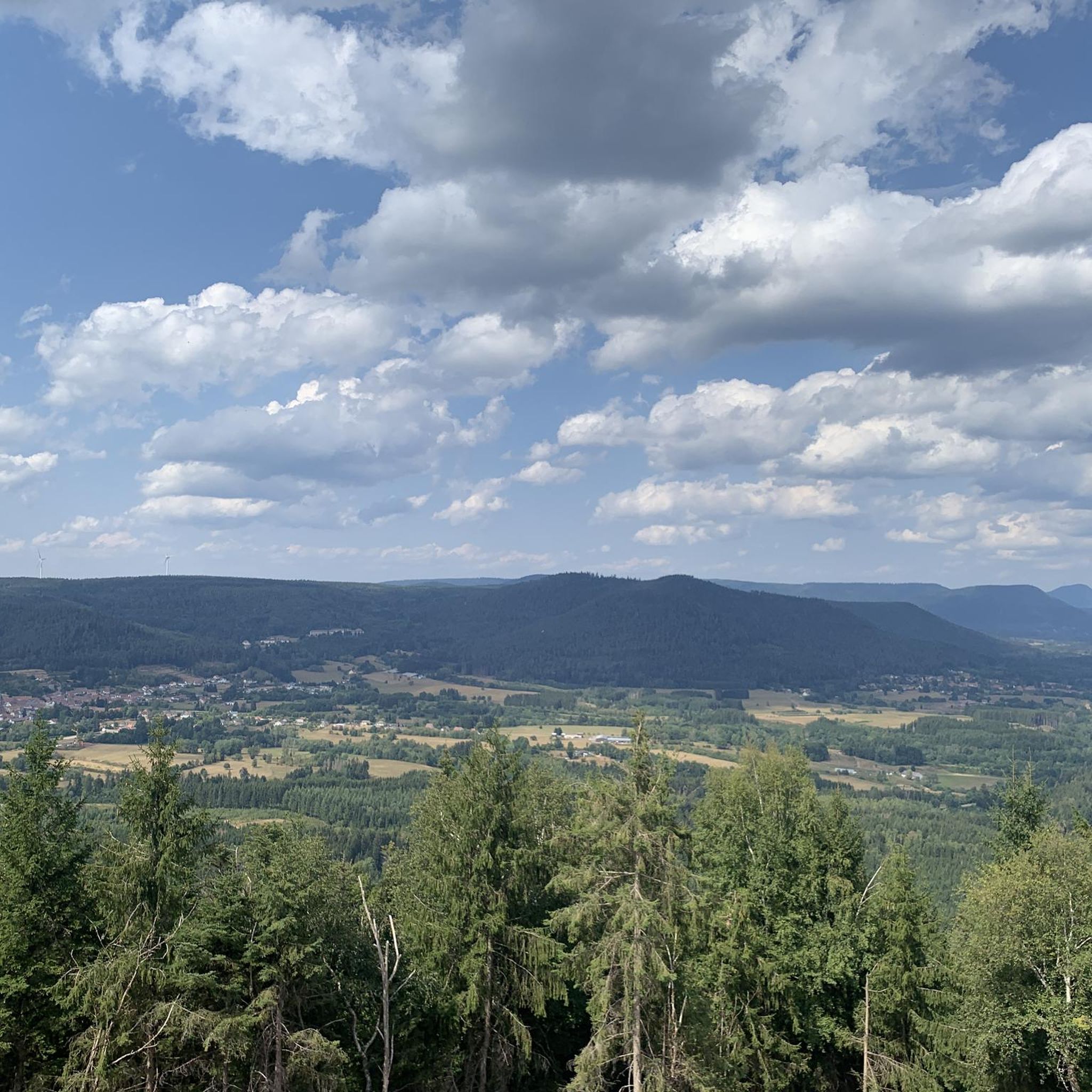
From here you can enjoy a beautiful view of the valley.
0
0
Frequently Asked Questions
How many hiking trails are available around Ban-De-Sapt?
There are over 15 hiking trails in the Ban-De-Sapt area, offering a variety of experiences. These include 9 easy routes, 7 moderate routes, and 1 more challenging option, catering to different skill levels.
Are there any easy or family-friendly hikes in Ban-De-Sapt?
Yes, Ban-De-Sapt offers several easy routes suitable for families. A good option is the View from La Fontenelle loop from Ban-de-Sapt, which is 3.6 km long and features gentle terrain, making it ideal for a relaxed outing.
What are the more challenging hiking options in the region?
For those seeking a challenge, the Tête de Raves – Roche des Abris loop from La Petite-Fosse is a difficult 12 km trail. It leads through varied terrain, including the Tête de Raves and Roche des Abris, and typically takes around 3 hours 49 minutes to complete.
Are there any circular walks around Ban-De-Sapt?
Many of the trails in Ban-De-Sapt are circular, allowing you to start and end at the same point. An example is the Picnic area – View from La Fontenelle loop from Ban-de-Sapt, a moderate 11.8 km route that offers scenic views.
What kind of views can I expect on the hikes?
The hikes around Ban-De-Sapt are known for their panoramic viewpoints, particularly towards the Vosges Mountains and the Massif de l'Ormont. Trails often feature dense woodlands and rolling hills, providing diverse scenery. The View of the Vosges Mountains loop from La Grande-Fosse is a prime example, offering expansive vistas.
What are some interesting landmarks or attractions to see near the trails?
The area around Ban-De-Sapt features several historical and natural points of interest. You can explore the Roche des Abris, visit the Trail of the Hamlets Fallen for France – La Fontenelle, or discover the ancient La Bure Celtic Camp. For a historical perspective, the Franco-German Military Cemetery Bertrimoutier is also nearby.
Is Ban-De-Sapt a good destination for dog-friendly hiking?
Many trails in the Ban-De-Sapt area are suitable for hiking with dogs, especially those through the extensive woodlands. It's always recommended to keep dogs on a leash, particularly near wildlife or in agricultural areas, and to carry water for both yourself and your pet.
What is the best time of year to go hiking in Ban-De-Sapt?
The best time to hike in Ban-De-Sapt is typically from spring to autumn (April to October). During these months, the weather is generally mild, and the trails are clear. Autumn offers particularly beautiful scenery with changing foliage. Winter hiking is possible but requires appropriate gear for snow and ice.
What do other hikers enjoy most about the trails in Ban-De-Sapt?
The trails in Ban-De-Sapt are highly rated by the komoot community, with an average score of 4.5 stars from over 800 reviews. Hikers often praise the quiet woodlands, the varied terrain, and the rewarding panoramic views, especially towards the Vosges Mountains.
Is there public transport access to the hiking trails in Ban-De-Sapt?
Public transport options directly to trailheads in Ban-De-Sapt can be limited, as it is a rural area. It's advisable to check local bus schedules in advance or consider driving to access the starting points of the hikes.
Where can I park when hiking in Ban-De-Sapt?
Parking is generally available at or near the starting points of many trails, especially in or around the villages. Look for designated parking areas or roadside spots where permitted. Always ensure you are not blocking access or private property.
What should I wear for hiking in Ban-De-Sapt?
Given the varied terrain and potential for changing weather, it's best to wear sturdy hiking boots, layered clothing, and waterproof outerwear. Depending on the season, consider sun protection, a hat, and gloves. Always carry enough water and snacks.
Most popular routes around Ban-De-Sapt
Most popular attractions around Ban-De-Sapt

Get inspired with the komoot mobile app


Explore more
Browse the best Hikes in other regions.
