The best running trails around La Rivière
4.3
(99)
6,130
runners
329
runs
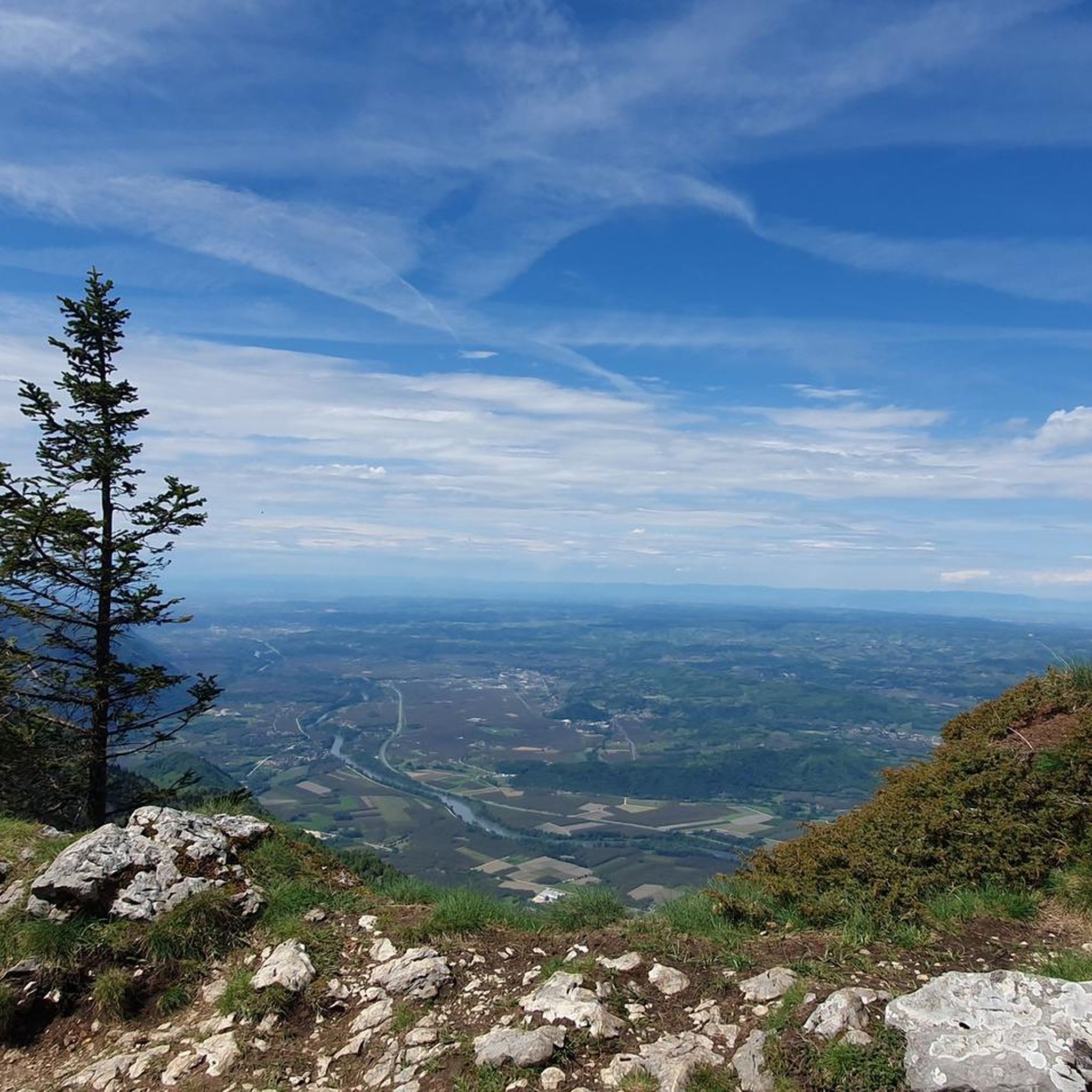
Jogging routes around La Rivière offer diverse terrain, from tranquil river valleys to the more challenging ascents of the Vercors massif. The region features a mix of limestone cliffs, dense woodlands, and open landscapes, providing varied running experiences. Trails often follow river paths or climb through forested areas, revealing scenic views of the surrounding natural parks. This area is characterized by its significant elevation changes and lush vegetation, making it suitable for runners seeking both gentle paths and demanding climbs.
…Last updated: November 1, 2026
27
runners
9.58km
01:25
360m
360m
Hard run. Very good fitness required. Sure-footedness, sturdy shoes and alpine experience required.
17
runners
18.2km
02:00
20m
20m
Hard run. Very good fitness required. Mostly paved surfaces.

19
runners
21.5km
02:12
30m
30m
Hard run. Very good fitness required. Mostly paved surfaces.
14
runners
13.9km
02:13
760m
760m
Hard run. Very good fitness required. Sure-footedness, sturdy shoes and alpine experience required.
13
runners
13.6km
01:58
580m
580m
Hard run. Very good fitness required. Sure-footedness, sturdy shoes and alpine experience required.
Get access to more routes and recommendations from other explorers.
Already have an account?
Our route recommendations are based on thousands of hikes, rides, and runs completed by other people on komoot.
Start today with a free account
Your next adventure awaits.
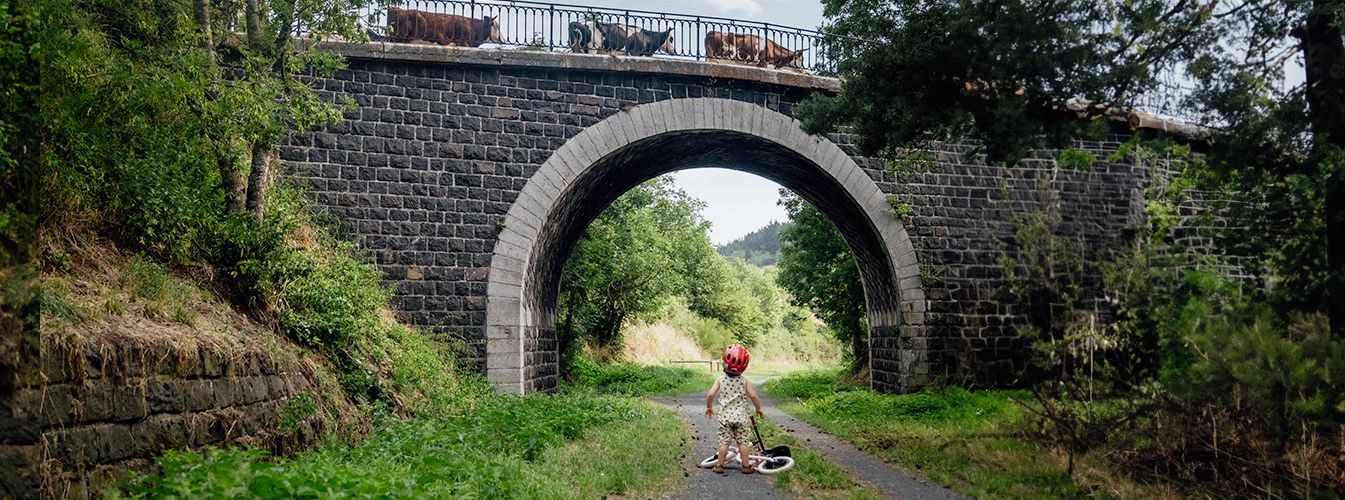
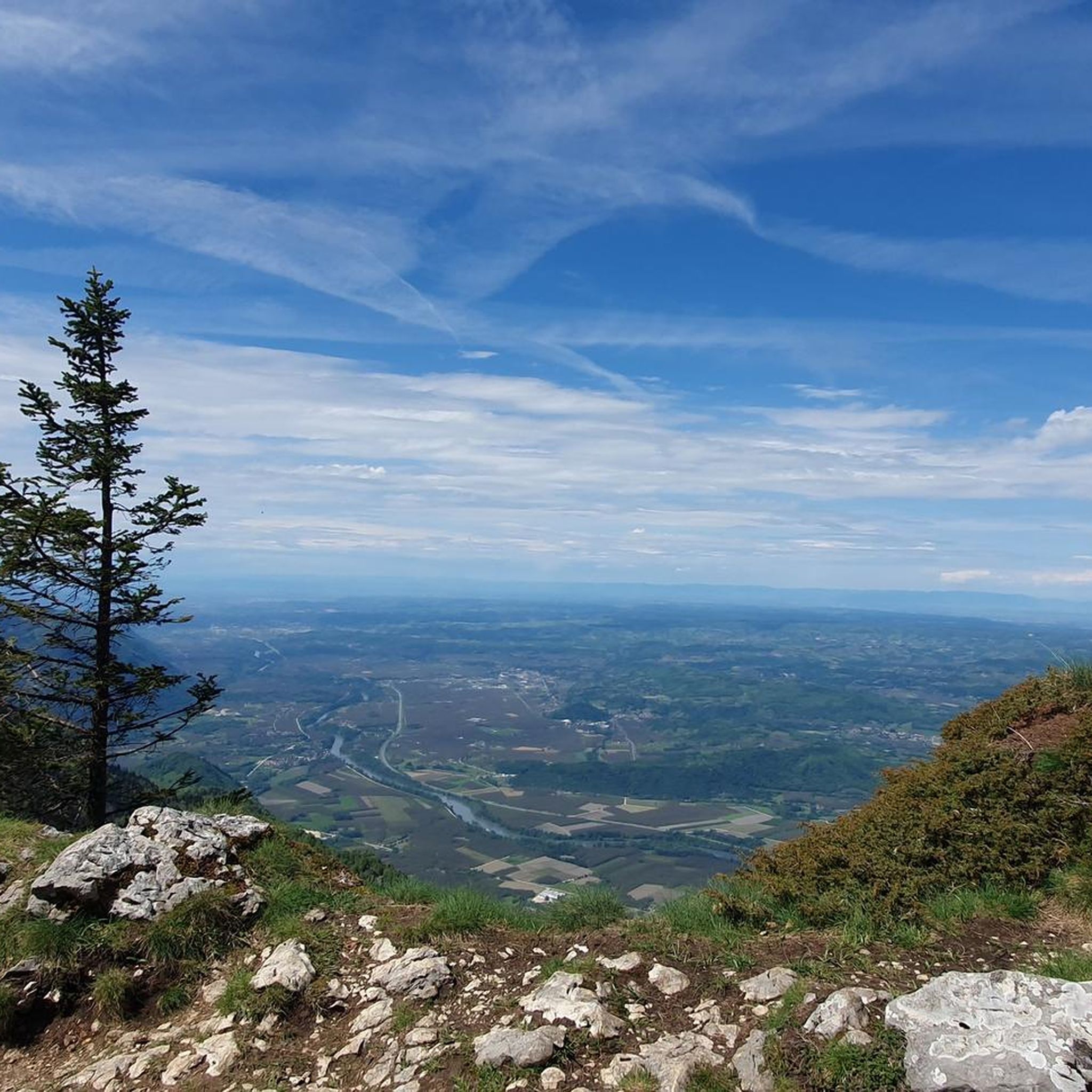
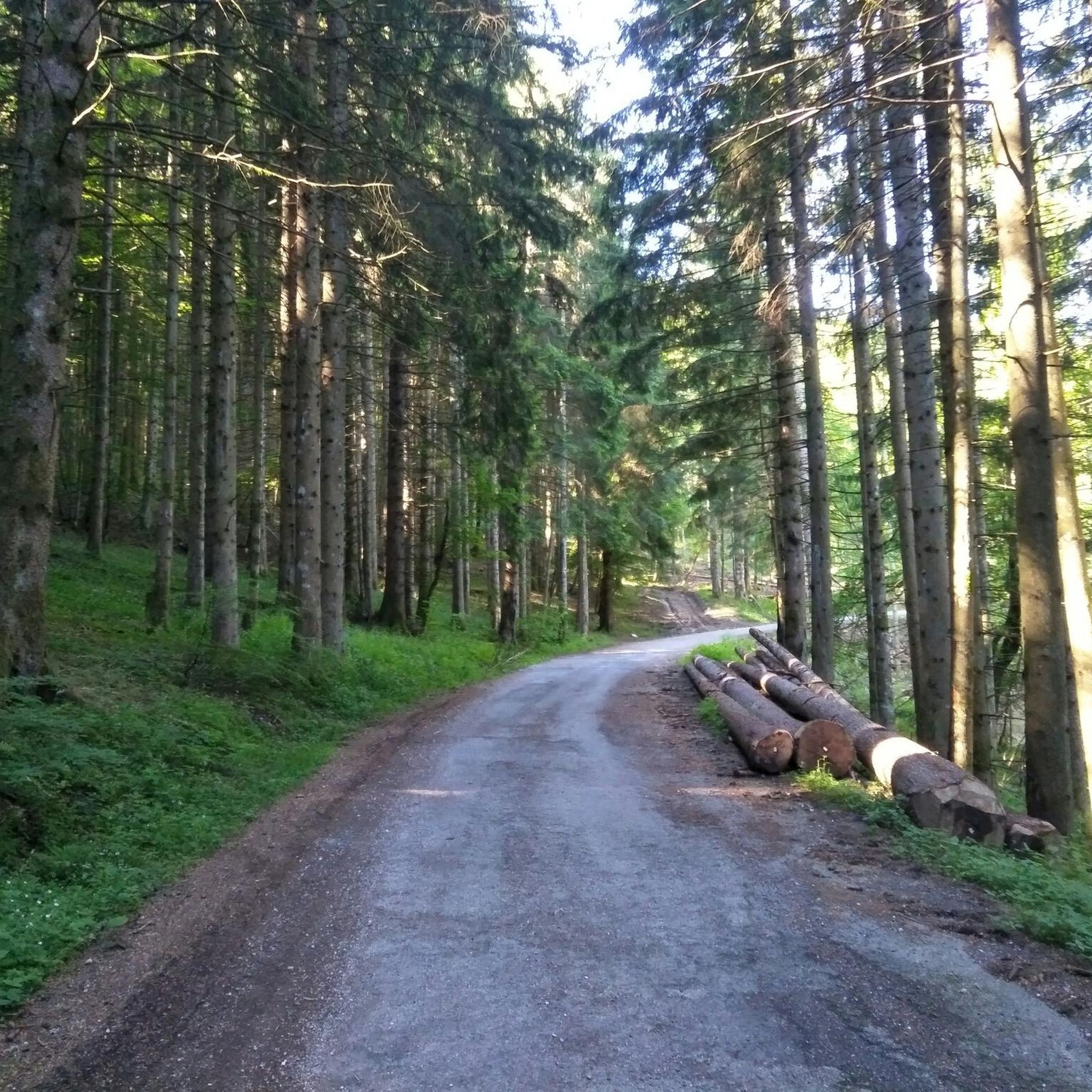
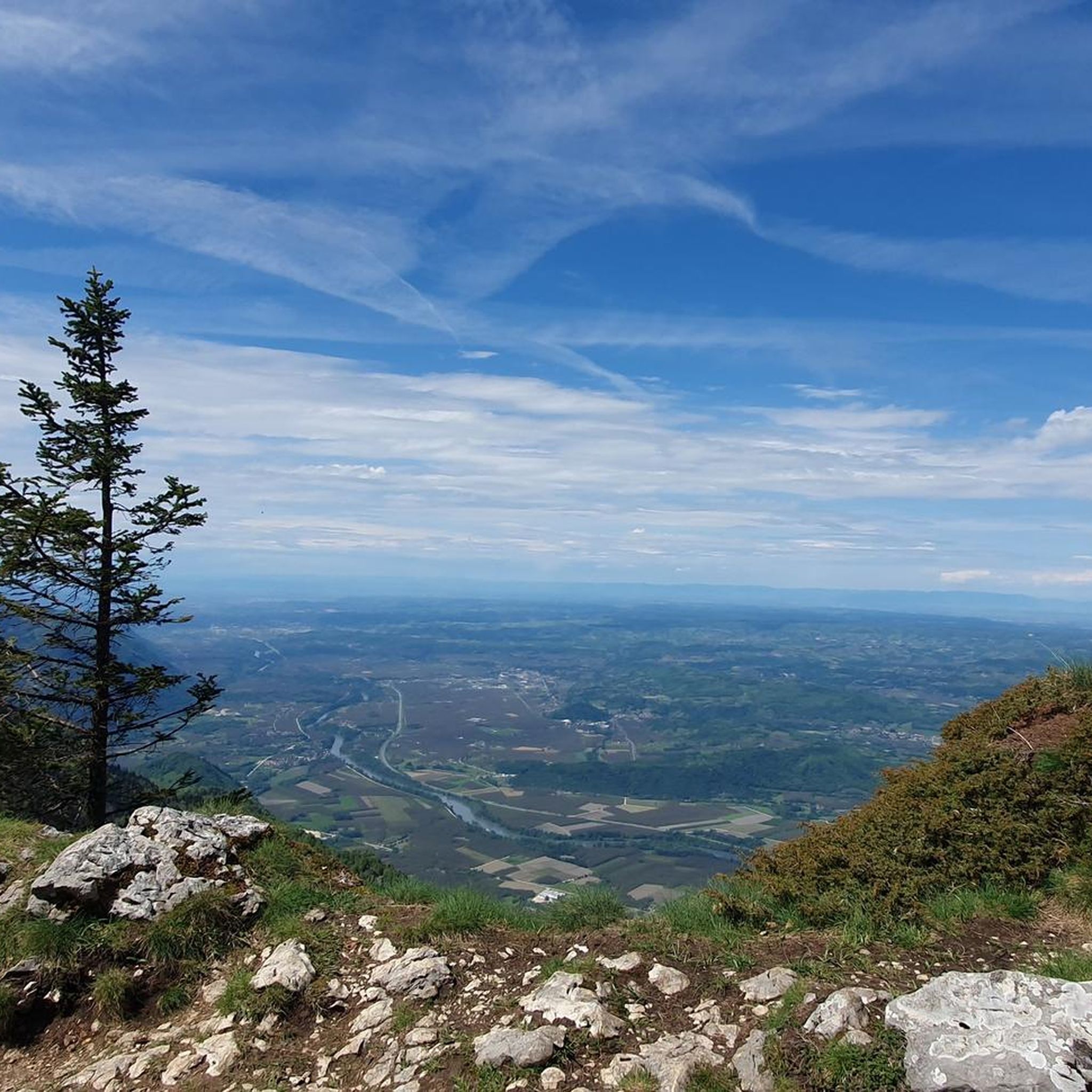


Other adventures around La Rivière

Tips from the Community

One of the most beautiful viewpoints in the Vercors. The paths winding along the cliffs are very beautiful.
0
0
It is very beautiful and very nice. No technical difficulty
0
0
Le Signal de Nave is a small promontory on the eastern ridge of the Vercors. It offers a nice viewpoint over the Ecouges
0
0
Le Bec de l'Orient is located on the eastern ridge of the Vercors between the Signal de Nave and the Rocher de la Clé. It culminates at 1568m and is very clearly visible from the Isère valley.
0
0
Le Bec de l'Orient is located on the eastern ridge of the Vercors between the Signal de Nave and the Rocher de la Clé. It overlooks the col de Montaud. It is 1568 m high and is very visible from the Isère valley.
1
0
It is a very easily accessible cave that is easy to explore from a speleological point of view. Several outdoor adventure companies on the plateau offer caving introductions in this cave.
1
0

A laid out flat, with occasional views of the Isère and the ver c ors, but frankly a bit boring and frankly along the highway. The crossed rest area looked nice but was crowded with people. The charging and repair station was out of order.
0
0

La Véloroute de l'Isère, officially integrated into the national route La Belle Via (referenced under number V63), is a cycling route of over 200 kilometers that runs along the Isère river. It connects the foothills of Savoie to the Drôme (connection with ViaRhôna), by crossing the entire department of Isère and its capital, Grenoble.
0
0
Frequently Asked Questions
How many running routes are available around La Rivière?
There are over 330 running routes around La Rivière, offering a wide range of experiences for all skill levels. This includes 21 easy, 174 moderate, and 138 difficult trails, ensuring options for every runner.
What kind of terrain can I expect on the running trails in La Rivière?
The region offers diverse terrain, from tranquil river valleys and cycle paths to challenging ascents in the Vercors massif. You'll encounter limestone cliffs, dense woodlands, and open landscapes, with significant elevation changes on many routes. The area is characterized by its lush vegetation and dramatic natural beauty.
Are there any easy or beginner-friendly jogging paths in La Rivière?
Yes, La Rivière offers 21 easy running routes suitable for beginners or those looking for a more relaxed pace. These paths often follow river valleys or less strenuous terrain, providing a gentle introduction to the region's natural beauty.
What are some notable landmarks or natural features I might see along the running routes?
Many routes offer stunning views of the Vercors massif. You might also encounter impressive natural features like the Gorges du Nan, the Eagle's Beak, or the Furon Dam. Some trails also lead past unique geological formations such as the Grotte de la Ture.
Are there any circular running trails in the La Rivière area?
Yes, many of the running routes around La Rivière are circular, allowing you to start and finish at the same point. An example is the Bec de l'Orient – Bec de l'Orient loop from Gève, a challenging 9.4 km trail with significant elevation gain.
What do other runners enjoy most about jogging in La Rivière?
The running routes in La Rivière are highly rated by the komoot community, with an average score of 4.4 stars from over 70 reviews. Runners often praise the varied terrain, the scenic views of the Vercors massif, and the sense of immersion in nature provided by the dense woodlands and river paths.
Are there any running routes that offer expansive views?
Absolutely. The region is known for its dramatic landscapes. For expansive vistas, consider routes that climb into the Vercors massif or follow paths like the Isère cycle route – View of the Vercors massif loop from Rovon, which offers stunning panoramas.
What is the typical length and duration of running trails in La Rivière?
The lengths and durations vary significantly. For instance, the Autrans Mountain Village – Autrans loop from Autrans-Méaudre en Vercors is a moderate 7.1 km route that takes about 45 minutes, while the Pas de Pierre Taillée – Pas de Montbrand loop from Autrans-Méaudre en Vercors is a more demanding 13.8 km trail, typically completed in over 2 hours.
Is there parking available near the running trailheads in La Rivière?
While specific parking details for every trailhead are not listed, many outdoor activity areas in the region, especially those serving popular hiking and cycling routes, typically offer designated parking facilities. It's advisable to check individual route descriptions for precise parking information.
Are there any specific summits or peaks that can be reached via running trails?
Yes, some running routes offer access to or views of local summits. For example, the Bec de l'Orient and Charande Summit are prominent features in the area, and trails often lead to viewpoints or near these peaks.
Can I find less crowded running routes in La Rivière?
With over 330 routes available, it's possible to find less crowded options, especially outside of peak times or by exploring some of the more challenging trails. The vast network of paths through dense woodlands and the Vercors massif offers plenty of opportunities for a peaceful run.
Most popular routes around La Rivière
Most popular attractions around La Rivière

Get inspired with the komoot mobile app


Explore more
Browse the best Running Trails & Routes in other regions.
