The best walks and hikes around La Rivière
4.5
(1423)
11,918
hikers
349
hikes
Hiking around La Rivière, particularly in the Auvergne-Rhône-Alpes region of France, offers a diverse landscape characterized by river valleys, forests, and varied elevations. The terrain includes paths under rock formations, forested areas, and routes leading to viewpoints. This region provides a mix of easy, moderate, and difficult trails suitable for different hiking preferences.
Best hiking trails around La Rivière
- The most popular hiking route is Path under the rocks – Great hiking trail through the valley loop from Rovon,…
Last updated: July 28, 2026
4.8
(41)
204
hikers
Moderate hike. Good fitness required. Easily-accessible paths. Suitable for all skill levels.
4.7
(10)
127
hikers
9.96km
03:41
490m
490m
Hard hike. Good fitness required. Sure-footedness, sturdy shoes and alpine experience required.

Sign up for free
5.0
(5)
69
hikers
14.0km
06:33
1,000m
1,000m
Hard hike. Very good fitness required. Sure-footedness, sturdy shoes and alpine experience required.
4.2
(5)
49
hikers
14.4km
05:29
690m
700m
Hard hike. Very good fitness required. Mostly accessible paths. Sure-footedness required.
4.7
(6)
55
hikers
7.25km
02:12
220m
220m
Hard hike. Good fitness required. Sure-footedness, sturdy shoes and alpine experience required.
Get access to more routes and recommendations from other explorers.
Sign up for free
Already have an account?
Our route recommendations are based on thousands of hikes, rides, and runs completed by other people on komoot.
Start today with a free account
Your next adventure awaits.
Login or Signup



Other adventures around La Rivière

Tips from the Community

The waterfall is accessible from a small path, you can swim there safely, even with children.
0
0
In summer, this little path is very cool, the water flows from the rock
0
0

A small village in Isère nestled at the foot of the Vercors, Rovon preserves several discreet monuments from its rural past. There, you'll come across a renovated Romanesque church, old stone farms, and a few wayside crosses. A village to discover along its narrow streets and trails.
0
0

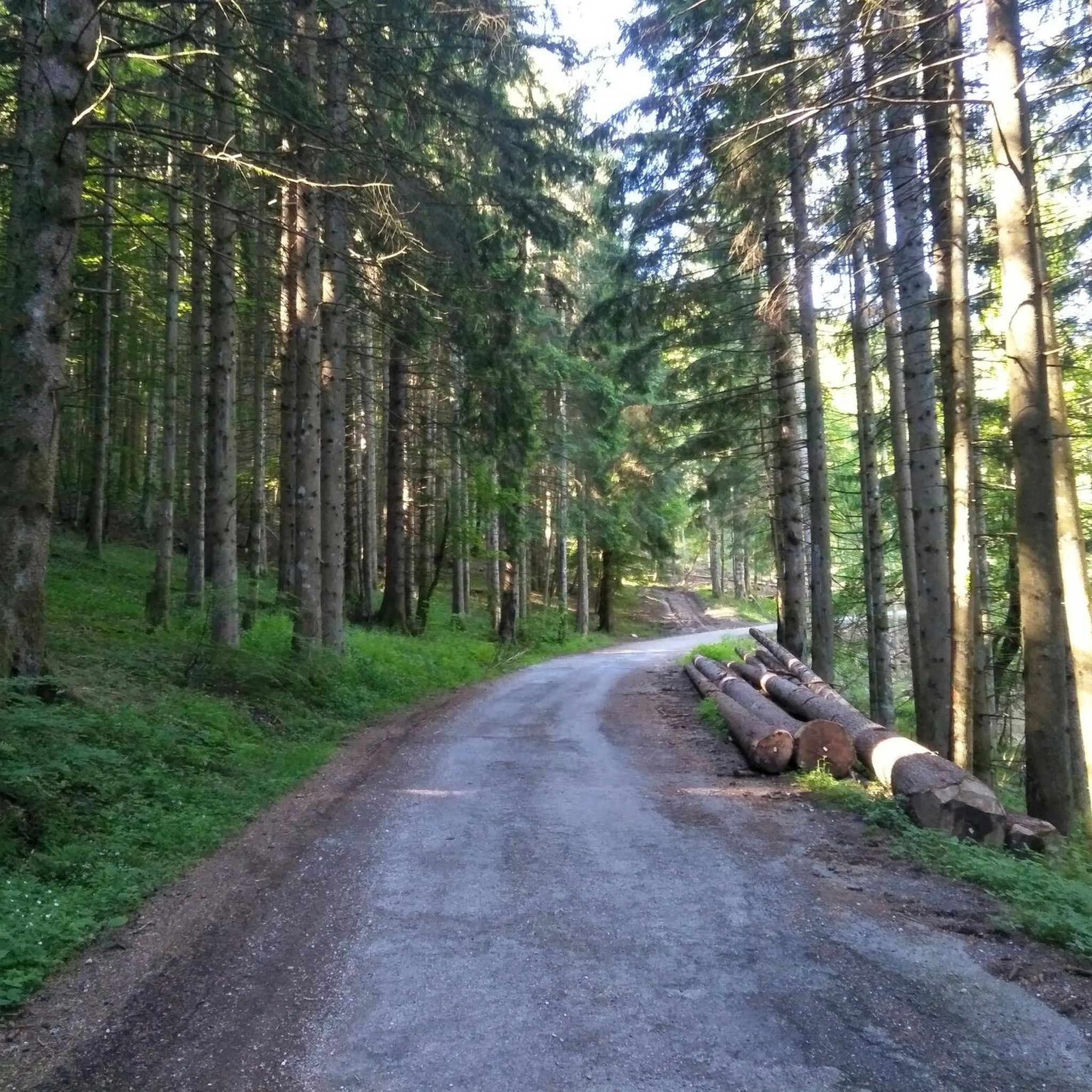
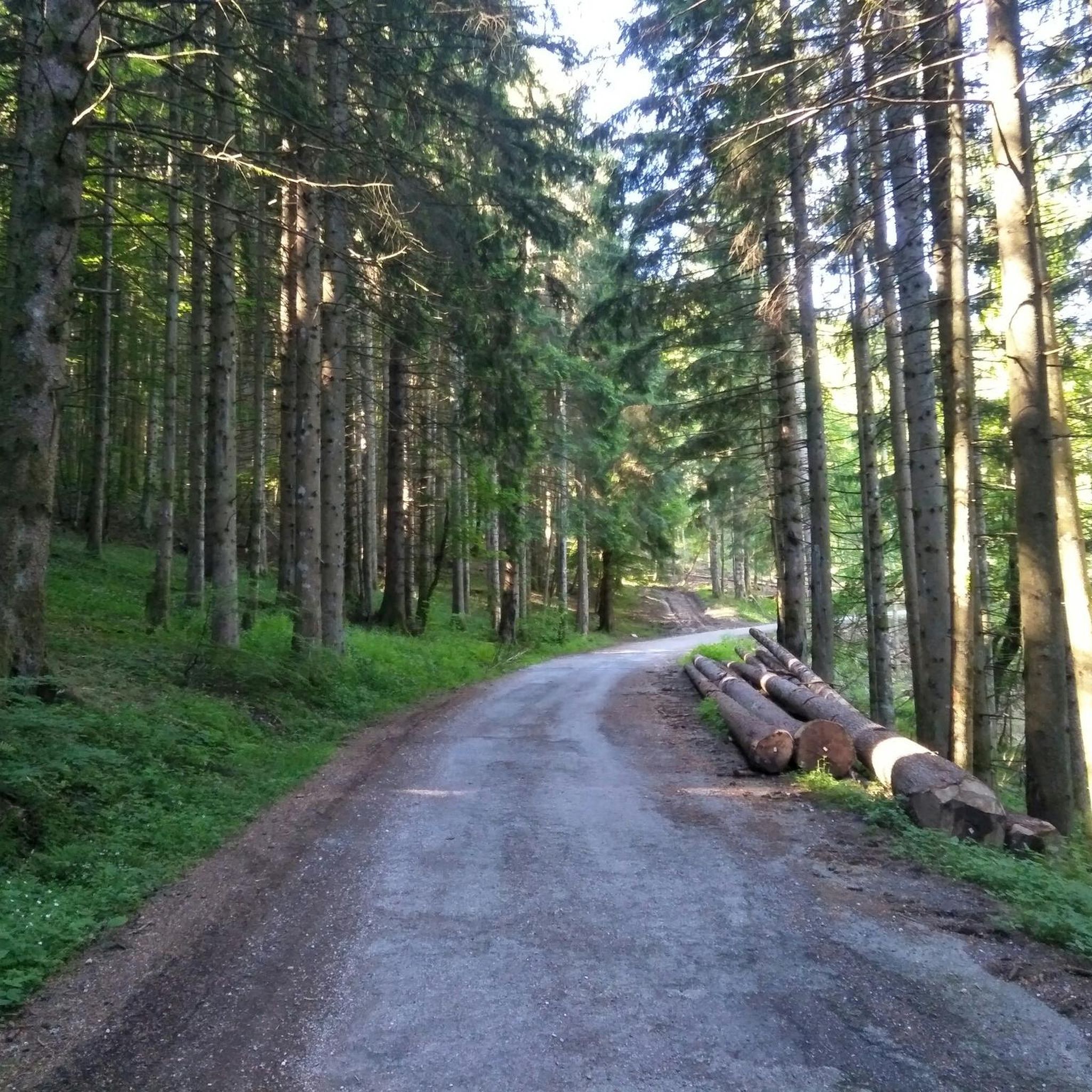
Lumberjacks and stevedores took shelter in this house with their teams of horses or cows until the end of the 19th century, the wood was brought up to the pas de la Clé to be brought down to the foot of the cliff by a corridor. From there, they were transported to the Isère at Saint Gervais where rafts were formed for the south of France. Like many forest houses, it served as a shelter for the Maquisards during the last war.
1
0

In 1915, a mountaineer from Montaud came to visit his family via the Pas de la Clé. When he returned the next day, he could not go further than the Gève refuge. The forest was devastated, the trees uprooted and tangled. A hurricane had almost completely destroyed the Ture sector. Until 1939, no felling was carried out, so as to allow the forest stand to regenerate.
0
0
The camp established at this location, the “C3” was created in the vicinity of Autrans-Méaudre in Vercor in March 1943 to cope with the influx of those refusing to participate in the S.T.O. (Compulsory Work Service). The camp, made up of an average of thirty young men, moved many times for security reasons. It was established here from June 1943 until mid-November. The precariousness of the hut exposed to the wind led the resistance fighters to take up their winter quarters at the Gève refuge during the winter of 1943/1944. The Carteaux camp was still used from mid-May 1944 until the Vercors fighting in June and July 1944 and the order to disperse the resistance fighters given on 23 July. Today (summer 2023), thanks to the work of enthusiasts, this forest cabin has been rebuilt as faithfully as possible, on the same site. It remains open to all, so please respect these places.
1
0

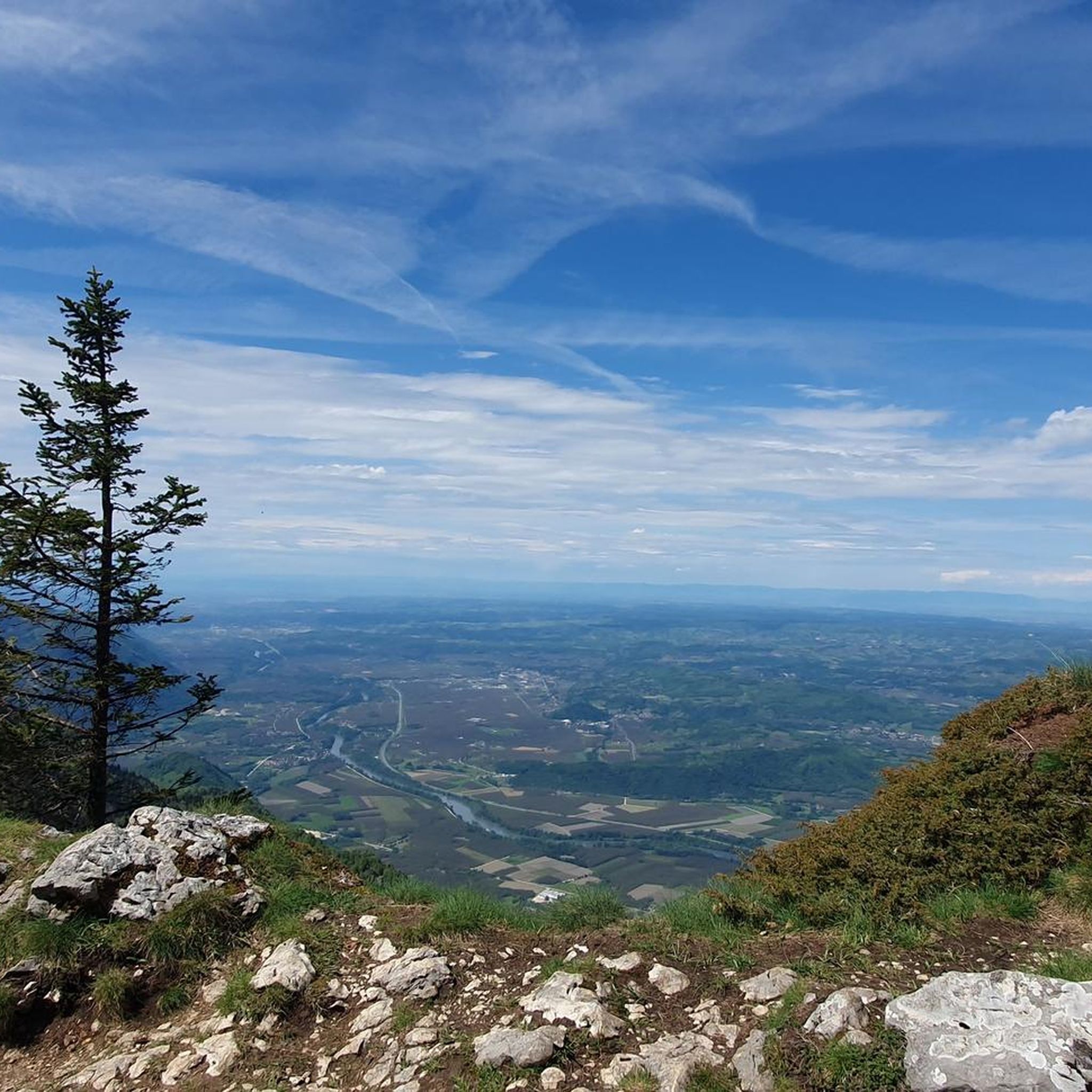
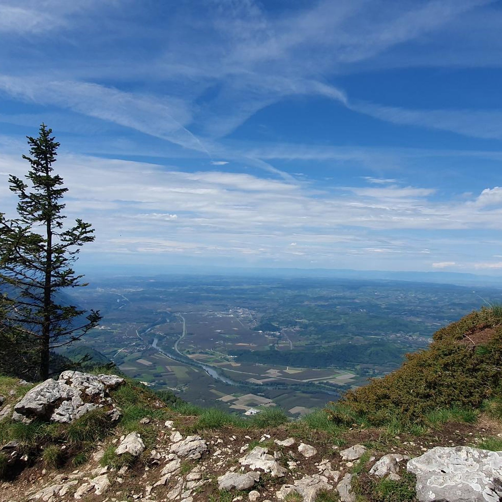
Culminating at 1,623 meters, La Buffe is the northernmost peak of the western ridge of the Vercors. Belvedere of the Isère valley, you can observe Mont Blanc when the weather is clear.
1
0
Hanging on the edge of a cliff, the path offers spectacular views of the valley and the walls of the Vercors massif.
3
0
Frequently Asked Questions
How many hiking trails are available in La Rivière?
La Rivière offers a wide selection of hiking opportunities, with over 300 routes available. These range from easy strolls to more challenging climbs, ensuring there's something for every hiker.
What kind of terrain can I expect when hiking around La Rivière?
The hiking terrain in La Rivière, located in the Auvergne-Rhône-Alpes region of France, is quite diverse. You'll find paths winding through river valleys, dense forests, and areas with varied elevations. Some routes feature unique rock formations, while others lead to expansive viewpoints over the landscape.
What do other hikers say about the trails in La Rivière?
The trails in La Rivière are highly regarded by the komoot community, holding an impressive average rating of 4.5 stars from over 1200 reviews. Hikers frequently praise the varied terrain, the scenic beauty of the river valleys, and the well-maintained paths that cater to different skill levels.
Are there easy hiking trails suitable for beginners in La Rivière?
Yes, La Rivière has numerous easy hiking options. Approximately 79 of the available routes are classified as easy, perfect for beginners or those seeking a relaxed walk. An example is the Great hiking trail through the valley – Path under the rocks loop from Saint-Gervais, which is a shorter, accessible option.
Are there any circular hiking routes in La Rivière?
Many of the trails in La Rivière are designed as circular routes, allowing you to start and end at the same point. For instance, the popular Path under the rocks – Great hiking trail through the valley loop from Rovon offers a scenic loop through the valley.
Can I bring my dog on the hiking trails in La Rivière?
While many trails in the Auvergne-Rhône-Alpes region are dog-friendly, it's always best to check specific trail regulations or local signage. Generally, dogs are welcome on leash in natural areas, but some protected zones or private lands may have restrictions. Always ensure your dog is under control and clean up after them.
Are there family-friendly hiking options in La Rivière?
Yes, La Rivière offers several family-friendly hiking options. Many of the easier trails are suitable for families with children. The diverse landscape provides engaging scenery, and some trails may even be accessible for sport strollers, depending on the specific path. Look for routes with lower difficulty grades for the best family experience.
What natural landmarks or viewpoints can I discover while hiking in La Rivière?
Hiking in La Rivière allows you to discover several notable natural landmarks and viewpoints. You can visit the La Molière Alpine Pasture and Panoramic View for stunning vistas, or reach the Charande Summit. The area also features the impressive Gorges du Nan, offering a dramatic natural spectacle.
What is the best time of year to go hiking in La Rivière?
The Auvergne-Rhône-Alpes region, where La Rivière is located, generally offers excellent hiking conditions from spring through autumn. Spring brings blooming wildflowers, while summer provides warm weather for higher elevations. Autumn is particularly beautiful with vibrant fall foliage. Winter hiking is possible on some trails, but requires appropriate gear and awareness of snow conditions.
Are there any specific natural features like waterfalls or gorges to see?
While specific large waterfalls are not prominently listed for La Rivière itself, the region is characterized by river valleys and diverse natural features. The Gorges du Nan is a significant natural monument nearby, offering impressive geological formations and a dramatic landscape to explore.
What are the parking options for trailheads in La Rivière?
Parking availability varies by trailhead in La Rivière. Many popular starting points for hikes, especially in and around villages like Rovon or Gève, will have designated parking areas. It's advisable to check specific route details on komoot for information on parking facilities near your chosen trailhead.
Is public transport available to reach hiking trailheads in La Rivière?
Public transport options to reach trailheads in La Rivière can be limited, especially for more remote routes. However, some villages and towns in the Auvergne-Rhône-Alpes region are served by local bus networks. For specific routes, it's recommended to research local transport schedules in advance or consider driving to the starting points.
Most popular routes around La Rivière
Most popular attractions around La Rivière

Get inspired with the komoot mobile app


Explore more
Browse the best Hikes in other regions.
