The 10 Most Amazing Peaks around Grandfontaine
Best mountain peaks around Grandfontaine are found within the Vosges mountains in northeastern France, offering a blend of natural features and historical significance. This commune is characterized by mountainous terrain, with elevations ranging from 390 to over 1,000 meters above sea level. The area provides various natural landmarks and viewpoints, including peaks considered sacred sites by ancient cultures. Grandfontaine serves as a destination for exploring the natural beauty and historical depth of the Vosges region.
Best mountain peaks around Grandfontaine
…Last updated: August 3, 2026
Donon Temple
Highlight • Monument
Translated by Google •
Tip by

The Hanging Cat
Highlight • Summit
Translated by Google •
Tip by

Sign up now to discover places like this
Get recommendations on the best single tracks, peaks, & plenty of other exciting outdoor places.
Sign up for free
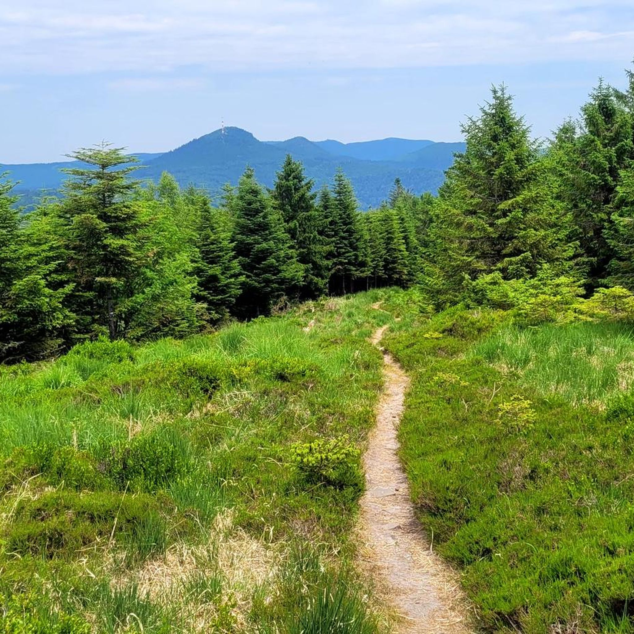
Mountain Trail to Mont Donon
Highlight (Segment) • Trail
Translated by Google •
Tip by

Fairy Garden
Highlight • Viewpoint
There are remains of a 3000 year old ring wall and astronomical markings.
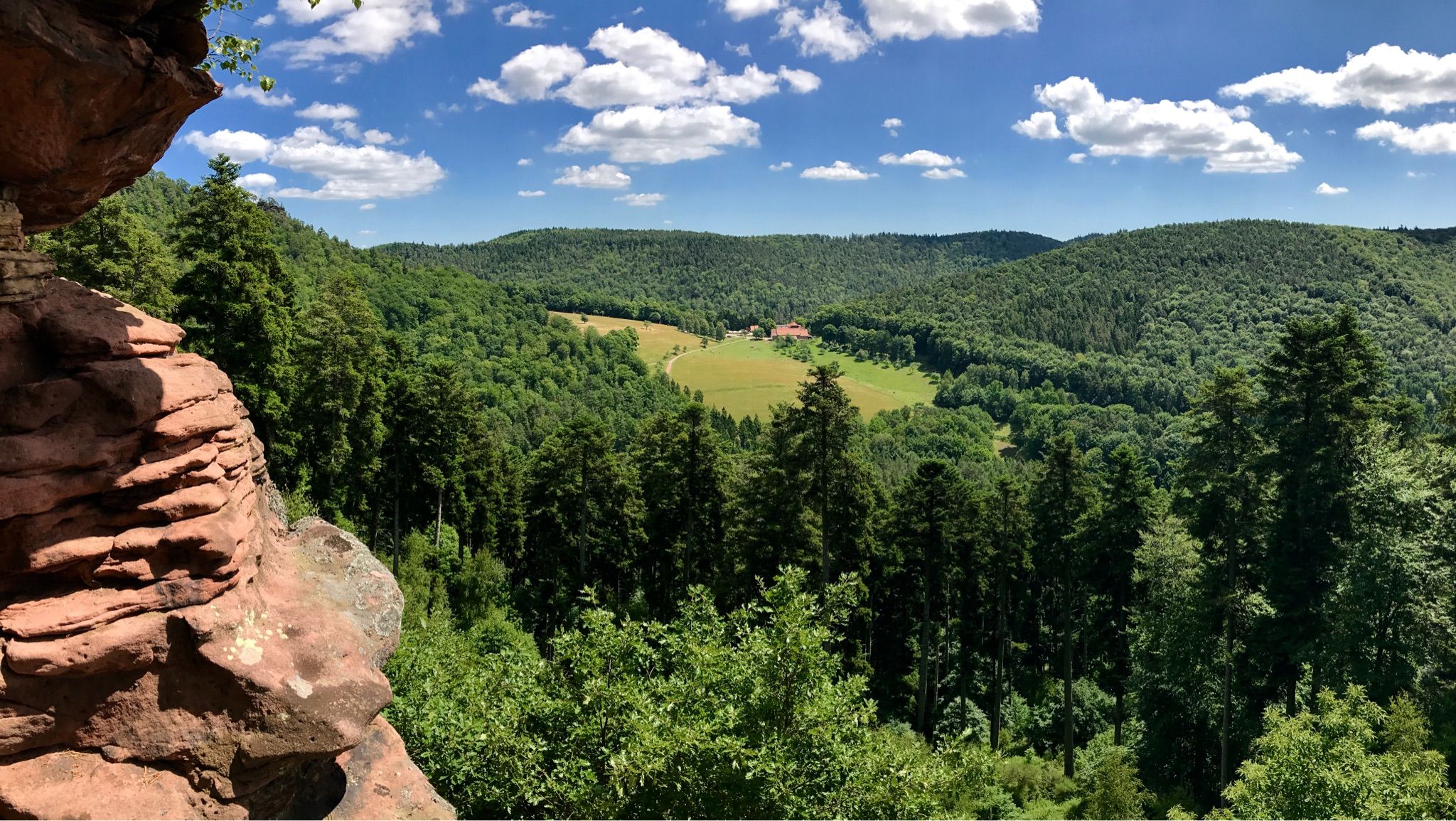
The rocks offer a nice seating and views of the Vosges.
Translated by Google •
Tip by

Le Narion Summit
Highlight • Summit
Translated by Google •
Tip by

Sign up for free to discover even more peaks around Grandfontaine.
Sign up for free
Already have an account?
Start today with a free account
Your next adventure awaits.
Login or Signup
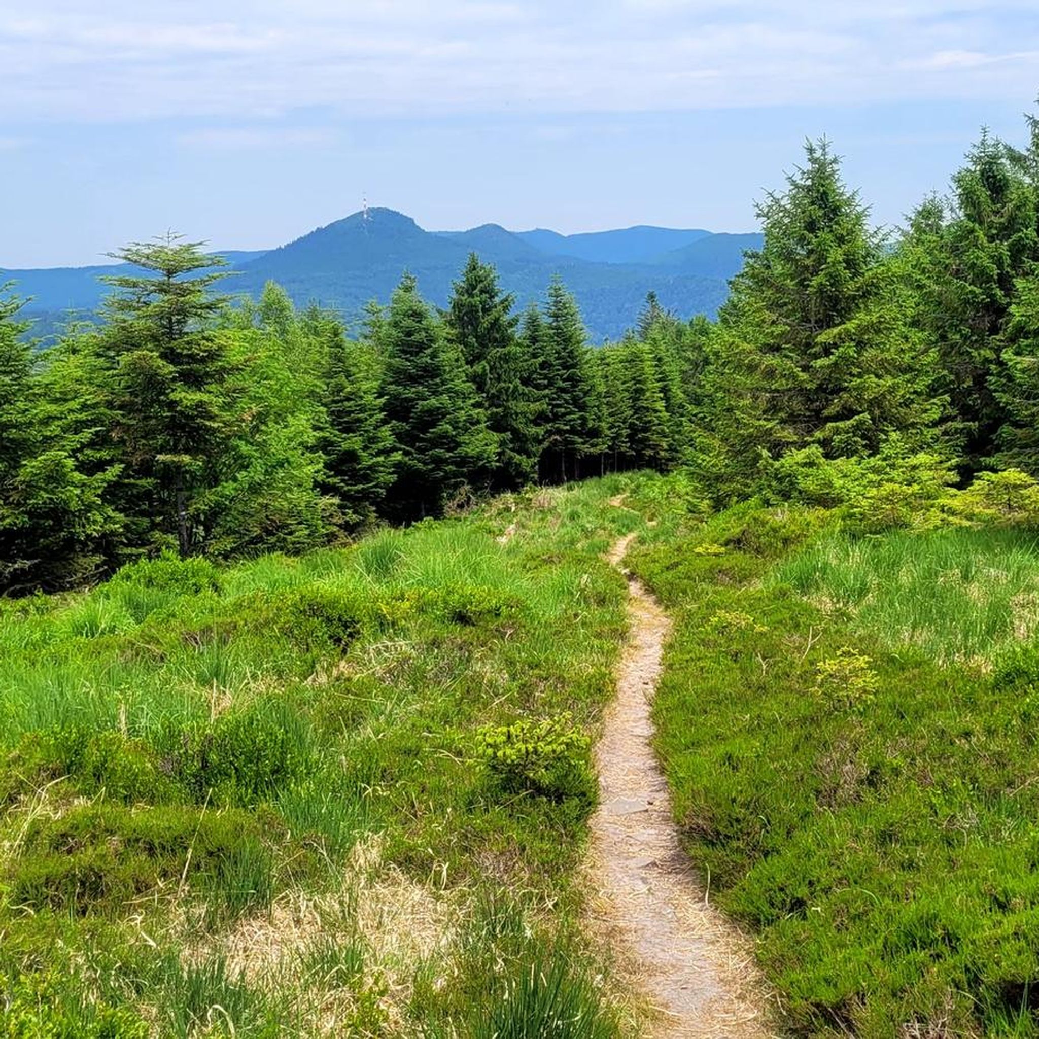
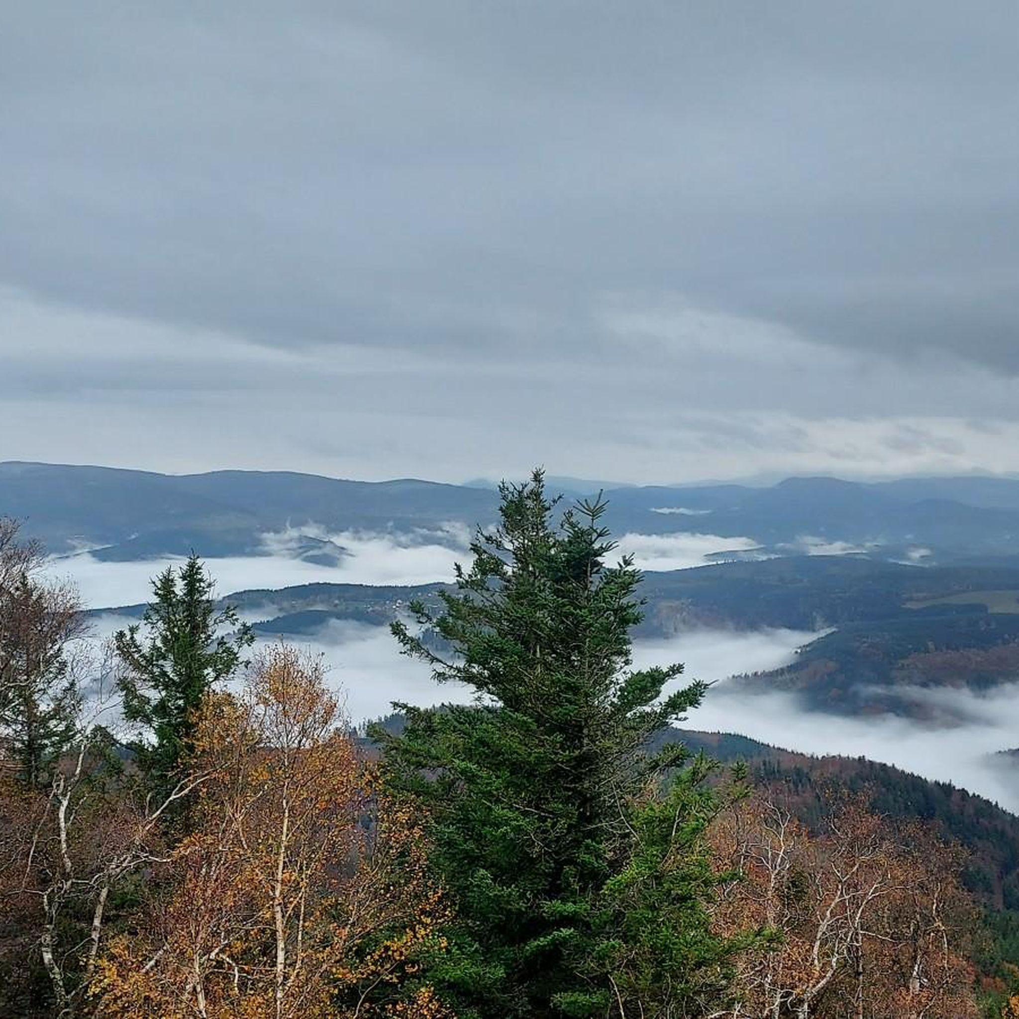
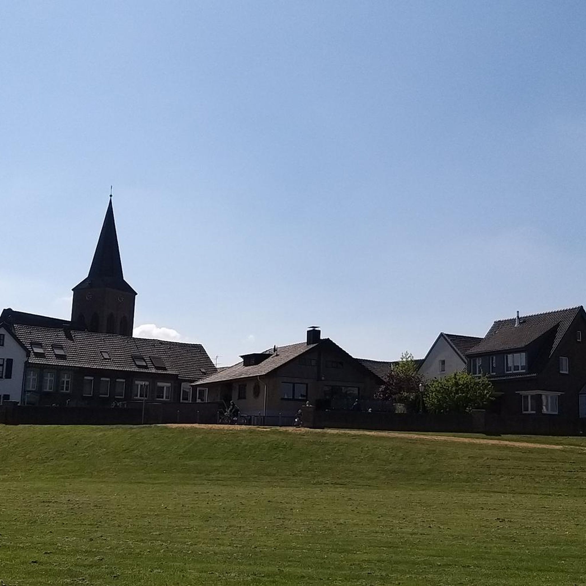
Other adventures around Grandfontaine

Tips from the Community

Viewpoint with wonderful views
1
0


No hanging pussy found... scam. 0 stars
2
3

Beautiful summit with a wonderful panoramic view... however, the way up is mostly pathless and difficult to find... currently the western descent is very overgrown with tall grass...
1
0

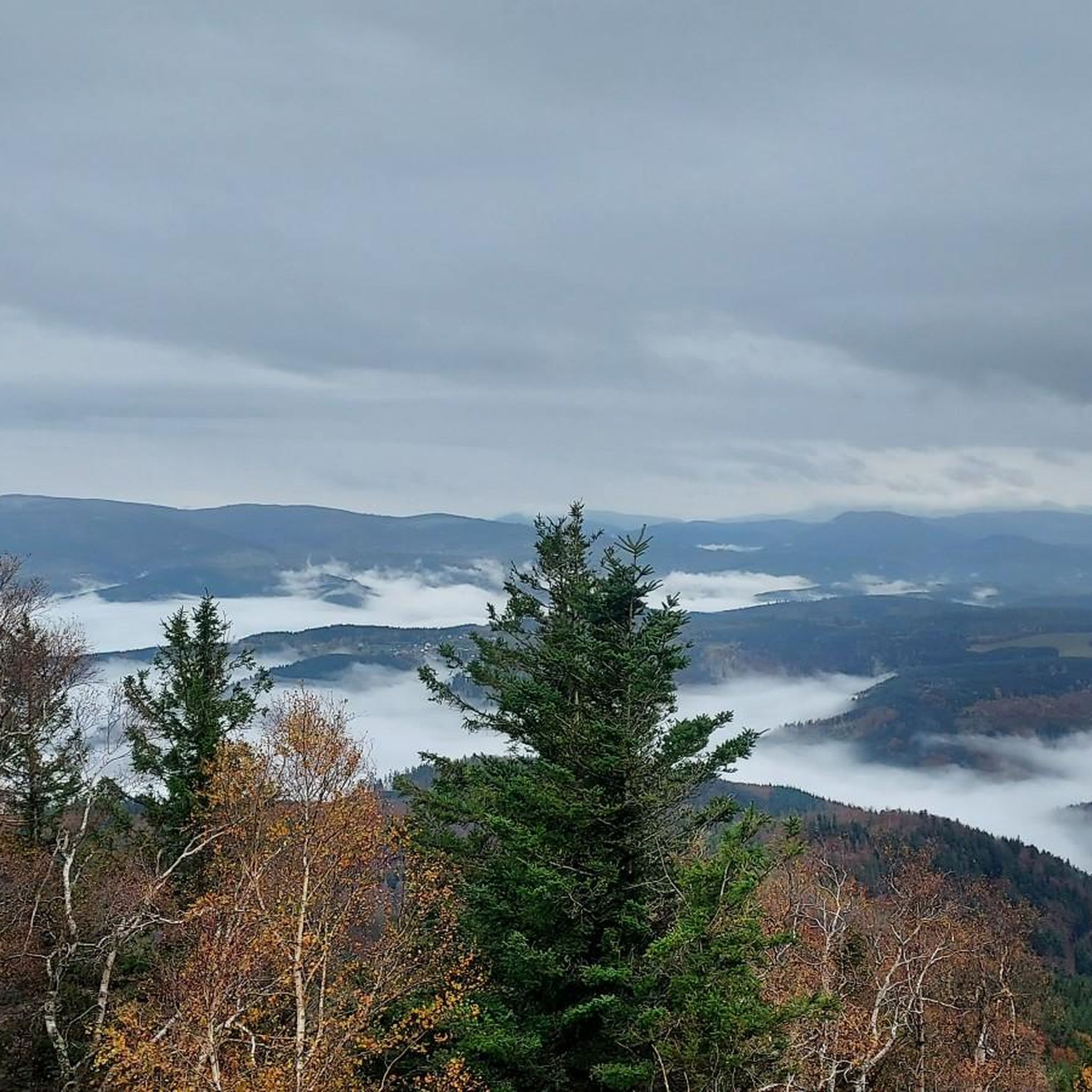
The summit of Narion requires you to branch off from the main path. But this little detour is doubly worth it. Firstly because it offers an admirable view of the southern Vosges and then because its summit rock is remarkable. If this isn't a perfect spot for a nap or a picnic, I don't know what is.
1
0

Beautiful view when the weather is nice... or not ☺️🌫️
2
0

Le Narion is a peak in the northern Vosges (Vosges) in the French department of Bas-Rhin. Depending on the source, the mountain has an altitude of 998m or often 999m. It is located one kilometer west of the Rocher de Mutzig (1010m), which separates it from the Col du Narion (922m). In the west, 700m away is Le Noll (990m), which is more of a forepeak of Le Narion, as there is a plateau between the two hills and the deepest saddle has a height of 973m - which corresponds to a lumpy height from Le Noll 17m. Le Narion is surrounded by deep forests on all sides, and only its summit area, the plateau towards Le Noll and the uppermost northern slopes have been treeless since December 26, 1999, when Hurricane Lothar felled all the trees here. The summit itself is a 2m high sandstone block that stands on the summit plateau and can be easily climbed with simple climbing (Rock I; T3). In the north, a forest path leads close to the summit, and finally you have to climb without a path through the rubble of rotting trees (T1-2). From the south, a forest aisle leads 400 meters directly and steeply to the summit. Some traces of the path can be seen, but the most beautiful climb to Le Narion is rarely attempted.
2
0

A magical place just like its name. In the middle of its vegetation and its stones with cupules of more than 3,000 years, one feels cut off from the world. However, the vegetation emerges in the direction of Donon to offer a breathtaking view of the most famous summit of the valley.
0
0
Frequently Asked Questions
What are some of the most historically significant mountain peaks around Grandfontaine?
The region around Grandfontaine is rich in history. Le Donon, also known as Donon Temple, is a highly significant peak, considered a sacred mountain since the Neolithic era by Celts and Gallo-Romans. It features a temple with a rich history and archaeological finds. Another notable site is Le Petit Donon, which serves as a historical site with markers commemorating past events, offering an exceptional viewpoint.
Which peaks offer the best panoramic views in the Grandfontaine area?
For breathtaking vistas, Le Donon offers sublime views in all seasons. The Hanging Cat (La Chatte Pendue) provides superb views of the Champ du Feu massif, Climont, and Donon. Additionally, the Rocher de Mutzig Viewpoint, the highest point in the Northern Vosges at 1,010 meters, is renowned for its amazing panoramic views.
Are there challenging hiking trails to the mountain peaks near Grandfontaine?
Yes, for those seeking a challenge, the Mountain Trail to Mont Donon is known for its challenging ascent, characterized by natural terrain with large stones and roots. The climb to Rocher de Mutzig Viewpoint can also be chosen to suit different fitness levels, with more challenging routes available.
What unique natural features can be found on the peaks around Grandfontaine?
Beyond the stunning views, some peaks offer unique natural elements. Le Narion Summit is notable for its remarkable summit rock, making it an ideal spot for relaxation. The path to Mont Donon itself is characterized by natural terrain, consisting mainly of large stones and roots.
What outdoor activities can I do near these mountain peaks besides hiking?
The region around Grandfontaine offers various outdoor activities. You can explore cycling routes, such as the 'Nice view - Raon-l'Étape – Lac de la Plaine loop' or the 'Donon Pass – Source of the Red Saar loop'. For off-road enthusiasts, there are numerous gravel biking and MTB trails, including the 'Forest Road Through the Vosges' for gravel biking or the 'Col de la Perheux – Serva Waterfall loop' for mountain biking. You can find more details on these activities in the cycling guide, gravel biking guide, and MTB trails guide for Grandfontaine.
What makes Le Donon a 'sacred mountain'?
Le Donon has been considered a sacred site for millennia. Its name derives from 'Dun,' a Gaulish word meaning 'mountain,' and human settlement dates back to the Neolithic era. It was revered by both Celts and Gallo-Romans, serving as a significant cult site. Today, the summit hosts a beautiful temple, preserving its rich historical and spiritual legacy.
Is there an archaeological path or historical information available for visitors to Le Donon?
Yes, an archaeological path with explanatory boards enriches the experience at Le Donon. Visitors can learn about its rich history, including its past as a Celtic sanctuary and Roman cult site, and view archaeological finds that were once housed in the temple.
What is the story behind the unusual name of La Chatte Pendue?
The summit The Hanging Cat (La Chatte Pendue) has an unusual name that has sparked many interpretations. Historically, an 1847 map referred to it as 'Stone of the Hanged Cat' (Pirre hhatte pendaïe), which translates to 'High hanging stone'. It is believed that transcription errors or the guttural pronunciation of 'H' transformed 'hhatte' into 'cat', leading to its unique modern name.
What do visitors particularly enjoy about the mountain peaks around Grandfontaine?
Visitors frequently praise the stunning views and the rich historical significance of the peaks. Many appreciate the challenging yet rewarding hikes, especially to sites like Le Donon, which offers both natural beauty and a deep sense of history. The unique natural features, such as the remarkable summit rock of Le Narion Summit, are also highly valued for providing peaceful spots for relaxation.
Are there any other notable peaks in the vicinity of Grandfontaine?
Beyond the most prominent peaks, the Grandfontaine area is surrounded by several other notable mountains that contribute to its natural beauty. These include the Tête des Blanches Roches (916 m), the Corbeille (899 m), the Maxe (863 m), the Rond Perthuis (849m), the Tête Mathis (838 m), and the Haut de la Charaille (758 m). These peaks collectively offer diverse landscapes for exploration.
What is the highest point in the Northern Vosges near Grandfontaine?
The highest point in the Northern Vosges near Grandfontaine is the Rocher de Mutzig Viewpoint, which reaches an elevation of 1,010 meters. It offers amazing views and is a worthwhile climb for hikers.
Most popular routes around Grandfontaine
Most popular attractions around Grandfontaine

Get inspired with the komoot mobile app


Explore more
See even more amazing summits around Grandfontaine with these guides:
