The best traffic-free bike rides around Grandfontaine
4.7
(4)
28
riders
6
rides
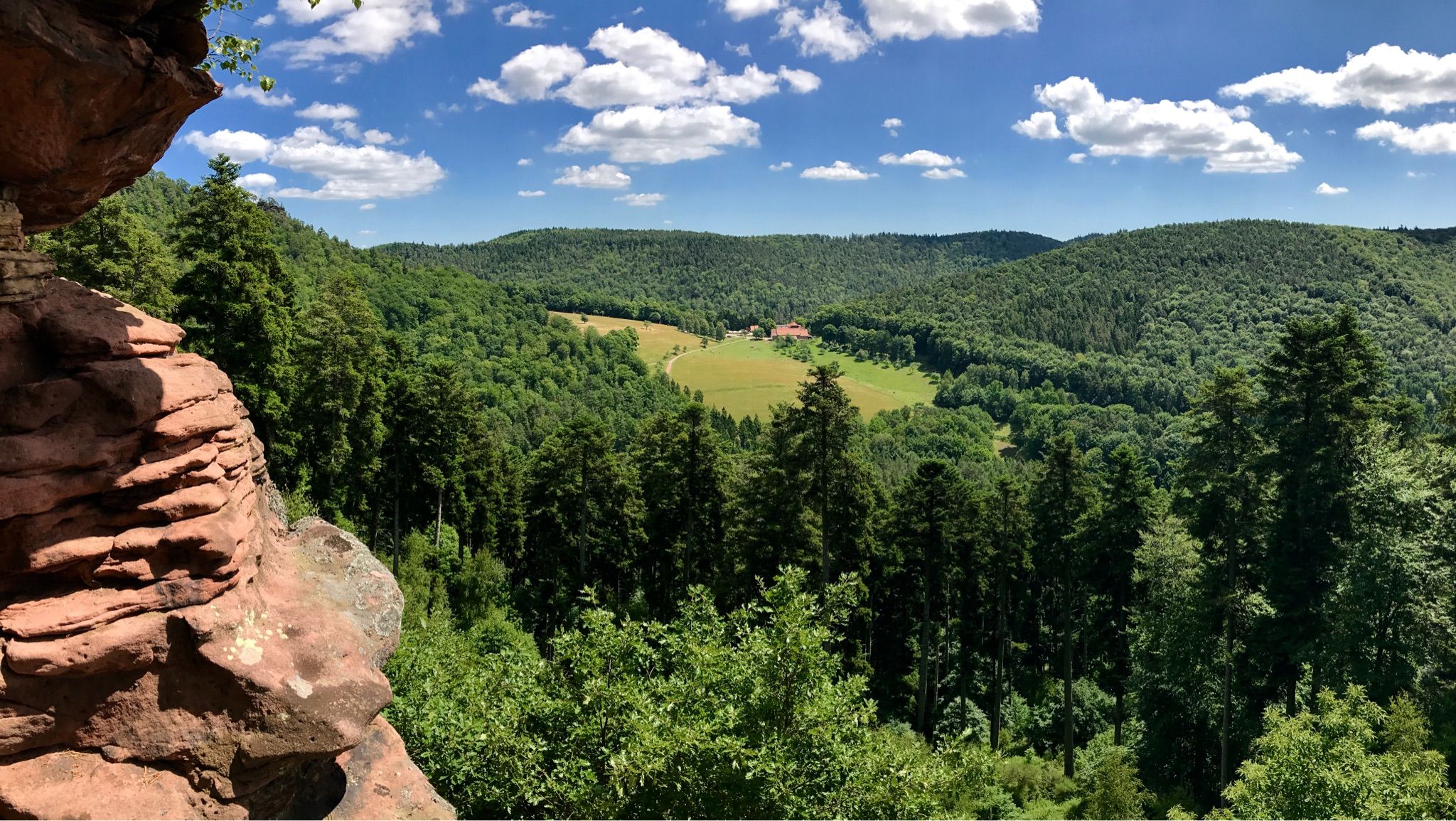
Gravel biking around Grandfontaine offers routes through the Bas-Rhin region, situated within the northern Vosges mountains of France. The terrain is characterized by expansive forests, varied elevation changes, and the presence of the Donon massif. Riders can expect a mix of unpaved roads and tracks, often alongside streams and through pine forests, providing a diverse environment for no traffic gravel bike trails.
Best no traffic gravel bike trails around Grandfontaine
- The most popular no traffic gravel bike trail is Super…
Last updated: May 22, 2026
5.0
(2)
8
riders
36.2km
03:00
910m
910m
Hard gravel ride. Very good fitness required. Mostly paved surfaces. Suitable for all skill levels.
5.0
(1)
5
riders
29.5km
02:23
710m
710m
Hard gravel ride. Very good fitness required. Mostly paved surfaces. Suitable for all skill levels.

Sign up for free
4.0
(1)
6
riders
43.8km
03:44
1,070m
1,070m
Hard gravel ride. Very good fitness required. Mostly paved surfaces. Suitable for all skill levels.
5
riders
22.9km
01:42
400m
400m
Moderate gravel ride. Good fitness required. Mostly paved surfaces. Suitable for all skill levels.
4
riders
41.0km
03:30
990m
990m
Hard gravel ride. Very good fitness required. You may need to push your bike for some segments of this route.
Our route recommendations are based on thousands of hikes, rides, and runs completed by other people on komoot.
Start today with a free account
Your next adventure awaits.
Login or Signup

Other adventures around Grandfontaine

Tips from the Community

Champ du Feu, at 1099 meters, is the highest mountain in the Bas-Rhin department of the Vosges in Alsace. It lies between the towns of Belmont and Le Hohwald and consists of an extensive high plateau with forests, meadows, and moorlands. The area is a popular nature and recreational area. In summer, it is mainly used for hiking, mountain biking, and nature observation. In winter, there is a small ski area with cross-country trails and simple slopes for winter sports. The brook La Serva originates from Champ du Feu, later forming the Cascade de la Serva. In clear weather, the summit offers wide views over the Vosges, the Rhine plain, and as far as the Black Forest. The area is particularly known for its tranquil nature, high moors, sunrises and starry skies, as well as well-marked hiking trails.
0
0

The kitchen had already closed at 3 p.m. on Sunday afternoon, so there were no hot or cold food left. Only cake and ice cream, but that was good. 💲💲Cash only. 💲💲
0
0

A long and beautiful forest road. However, it's bumpy in places on a road bike!
0
0

What a magnificent tree! Unfortunately, it's a little weak on its right flank—but it still welcomes every enthusiastic visitor 🌳
0
0


A truly great forest road through a beautiful forest, a bit bumpy in places (April 2025), but good for rolling (towards Mossey) or leisurely climbing (towards Mt Donon). It was fun!
1
0

Rothau played an important role in the valley's religious history, as evidenced by this 19th-century Protestant church. Admission is free.
0
0
Frequently Asked Questions
How many no-traffic gravel bike trails are available around Grandfontaine?
There are 6 dedicated no-traffic gravel bike trails around Grandfontaine featured in this guide. These routes offer a fantastic way to explore the region's natural beauty away from vehicle traffic.
What is the best time of year to go gravel biking in Grandfontaine?
The best time for gravel biking in Grandfontaine is generally during spring, summer, and early autumn. During these seasons, the weather is mild, and the trails are typically clear, providing optimal conditions for exploring the Vosges mountains and forests.
Are there any beginner-friendly no-traffic gravel routes in the Grandfontaine area?
While many routes in the Grandfontaine area are considered challenging, there is a moderate option suitable for those looking for a less strenuous ride. The Col de Steige – Salcée Pass loop from Plaine offers a good balance for riders with some experience, covering 22.8 km with over 400 meters of elevation gain.
What kind of terrain can I expect on these no-traffic gravel trails around Grandfontaine?
The no-traffic gravel trails around Grandfontaine traverse a diverse landscape, characterized by the 'medium mountain' terrain of the Vosges. You can expect a mix of unpaved forest roads, tracks through beautiful pine forests, and paths alongside various streams. The routes often feature varied elevation changes, including challenging climbs, especially around the Donon massif.
Are there any circular no-traffic gravel routes available?
Yes, all the no-traffic gravel routes listed in this guide are circular, allowing you to start and finish at the same point. For example, the Super fun trail – Forest Road Through the Vosges loop from Plaine is a great option for a full loop experience.
What can I see along the no-traffic gravel bike trails in Grandfontaine?
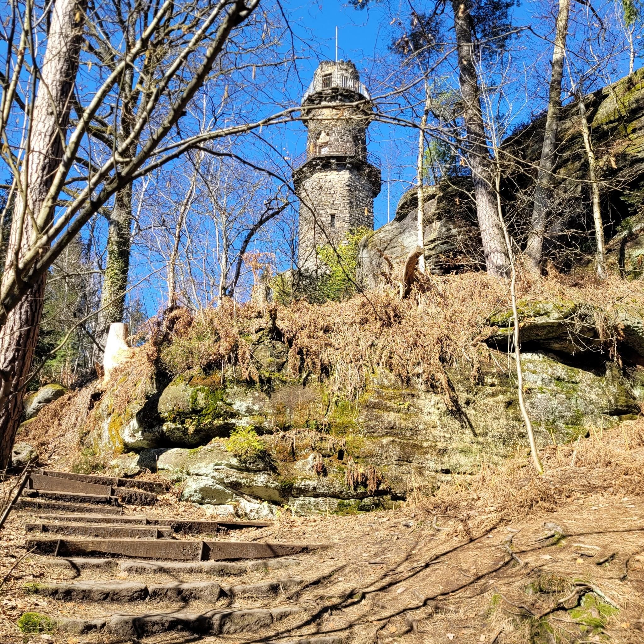
The trails offer access to stunning natural features and historical sites. You can explore areas near the Donon massif, which includes the ancient Donon Temple. Other highlights include various mountain peaks like Le Petit Donon and The Hanging Cat, as well as several shelters and huts like The Haute Loge shelter, perfect for a rest stop.
Are there any particularly challenging no-traffic gravel routes for experienced riders?
Absolutely. For experienced riders seeking a challenge, routes like the La Rothlach – Rocher de Rathsamhausen loop from Lutzelhouse offer significant elevation gains and longer distances. This route covers over 43 km with more than 1000 meters of climbing, providing a demanding yet rewarding experience.
What do other gravel bikers enjoy most about the no-traffic trails in Grandfontaine?
The no-traffic gravel trails in Grandfontaine are highly rated by the komoot community, with an average score of 4.7 out of 5 stars. Reviewers often praise the tranquility of the forest roads, the scenic beauty of the Vosges mountains, and the opportunity to enjoy challenging rides away from vehicle noise and traffic.
Is it possible to find routes that offer panoramic views?
Yes, many routes in the Grandfontaine area, especially those ascending into the Vosges mountains and around the Donon massif, offer rewarding panoramic views. The region is known for its vistas over the Bruche valley, providing stunning backdrops for your gravel biking adventure.
Are there any routes that pass by interesting historical sites?
Yes, the region has a rich history. Routes often pass near historical points of interest such as the ancient Donon Temple on Mont Donon, a significant natural and historical site. The area also has a history of mining, with former iron mines that can be explored, adding a cultural dimension to your ride.
What is the longest no-traffic gravel bike route in this guide?
The longest no-traffic gravel bike route featured in this guide is the La Rothlach – Rocher de Rathsamhausen loop from Lutzelhouse, which spans approximately 43.8 kilometers. This route also includes over 1000 meters of elevation gain, making it a substantial ride.
Are there any routes that explore the Prayé Forest?
Yes, the Cuckoo Pond – Prayé Forest Road loop from Saint-Blaise-la-Roche is a fantastic option that takes you through the beautiful Prayé Forest. This route is approximately 41 km long and offers a deep dive into the serene woodlands of the region.
Most popular routes around Grandfontaine
Most popular attractions around Grandfontaine

Get inspired with the komoot mobile app


Explore more
Browse the best Gravel rides in other regions.
