The best road cycling routes around Saint-Savournin
4.4
(304)
7,787
riders
147
rides
Road cycling routes around Saint-Savournin are situated at the foot of the Etoile Massif, offering a diverse landscape of hills and valleys. The region is characterized by varied topography, providing both challenging ascents and scenic descents. Many cycling routes feature well-paved surfaces, ensuring a smooth experience for road cyclists exploring the natural beauty of Provence.
Best road cycling routes around Saint-Savournin
- The most popular road cycling route is Colorful mosaic house – Faux Plat Camp Major loop from Gréasque,…
Last updated: May 15, 2026
4.7
(9)
284
riders
54.0km
02:27
640m
640m
Moderate road ride. Good fitness required. Mostly well-paved surfaces and easy to ride.
4.5
(2)
93
riders
50.6km
02:32
800m
800m
Moderate road ride. Good fitness required. Mostly well-paved surfaces and easy to ride.

Sign up for free
15
riders
38.7km
02:02
650m
650m
Moderate road ride. Good fitness required. Mostly well-paved surfaces and easy to ride.
4.7
(3)
52
riders
43.3km
02:14
770m
780m
Moderate road ride. Good fitness required. Mostly well-paved surfaces and easy to ride.
28
riders
15.6km
00:45
230m
230m
Easy road ride. Great for any fitness level. Mostly well-paved surfaces and easy to ride.
Get access to more routes and recommendations from other explorers.
Sign up for free
Already have an account?
Our route recommendations are based on thousands of hikes, rides, and runs completed by other people on komoot.
Start today with a free account
Your next adventure awaits.
Login or Signup

Tips from the Community


A bizarre art brut, as only France knows how to create. Thank you, Madam, for letting art burst into our daily lives.
0
0


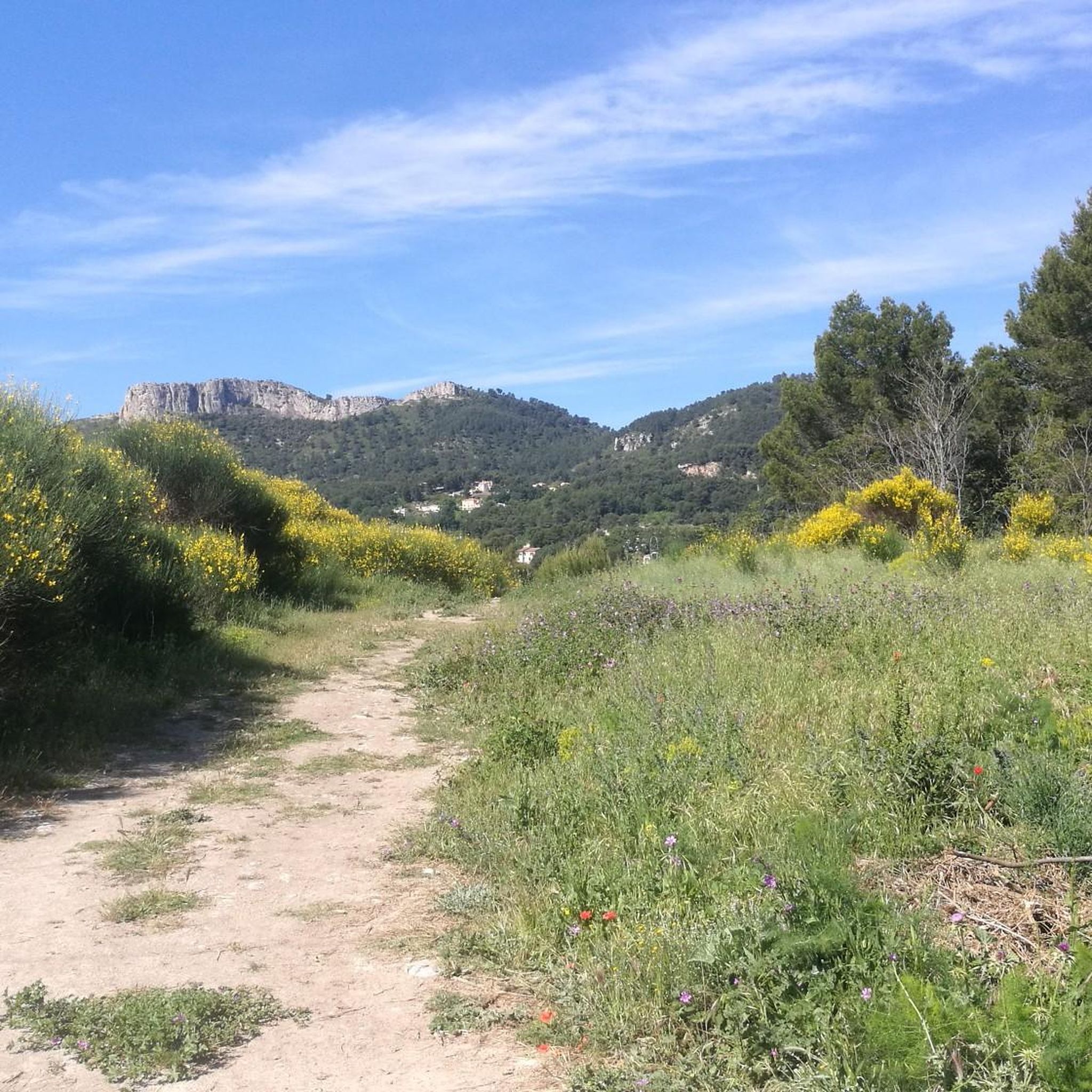
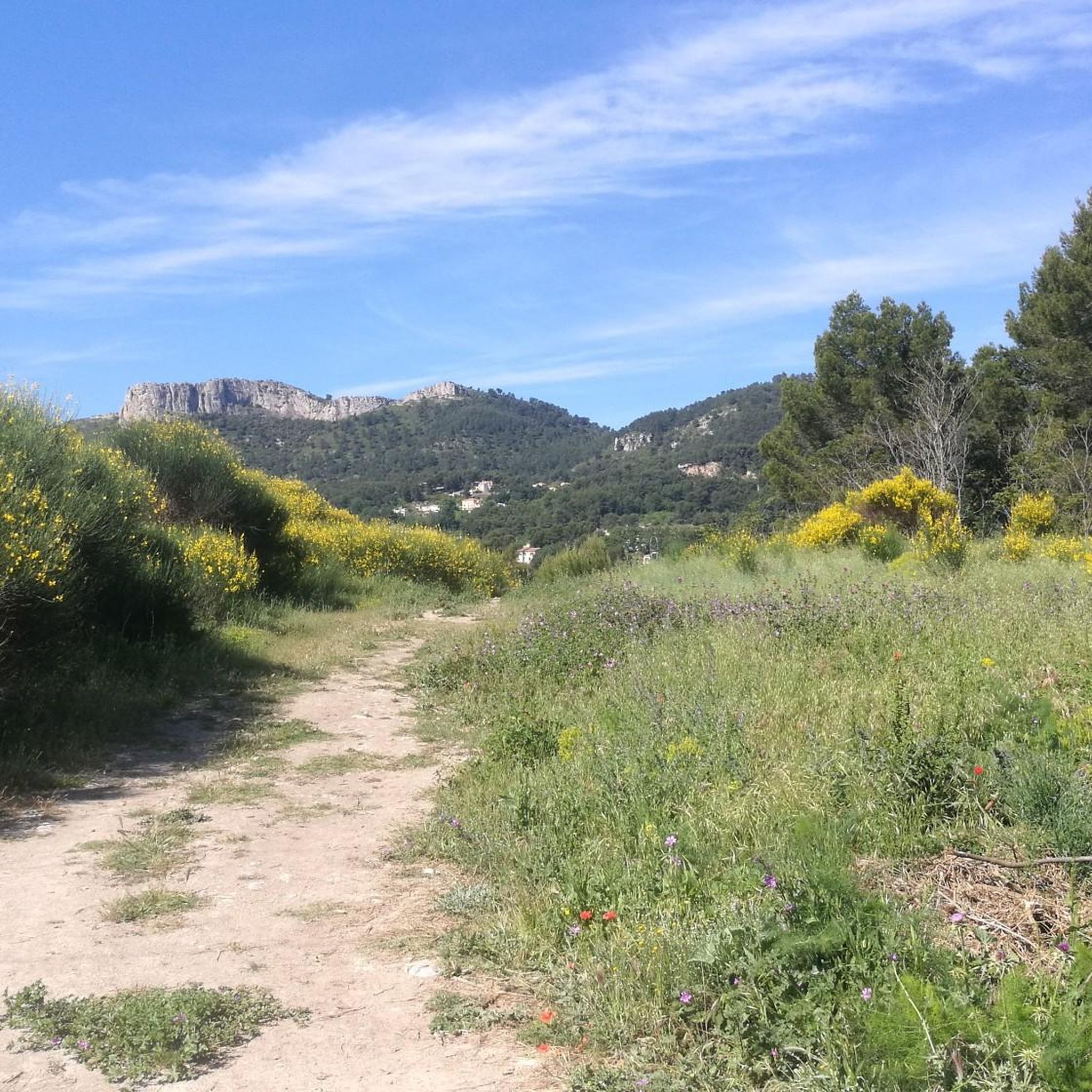
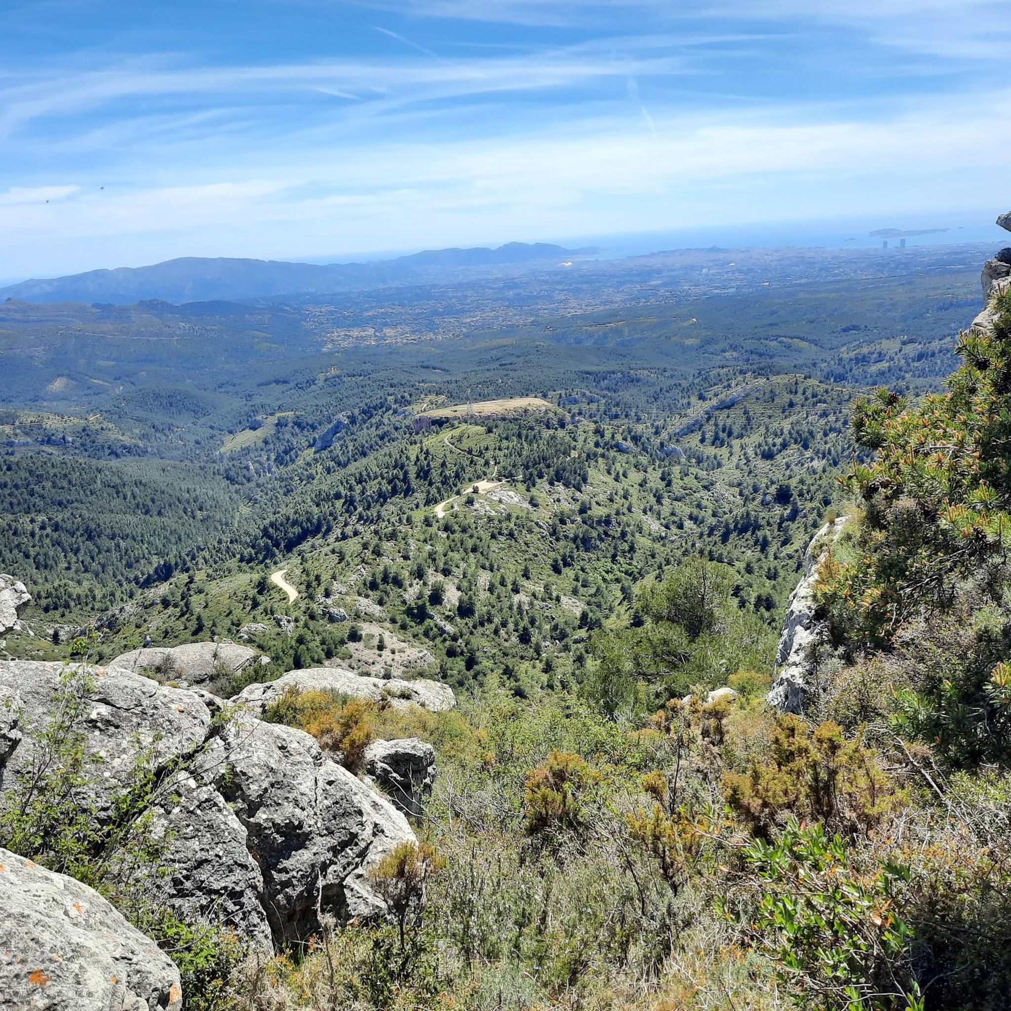
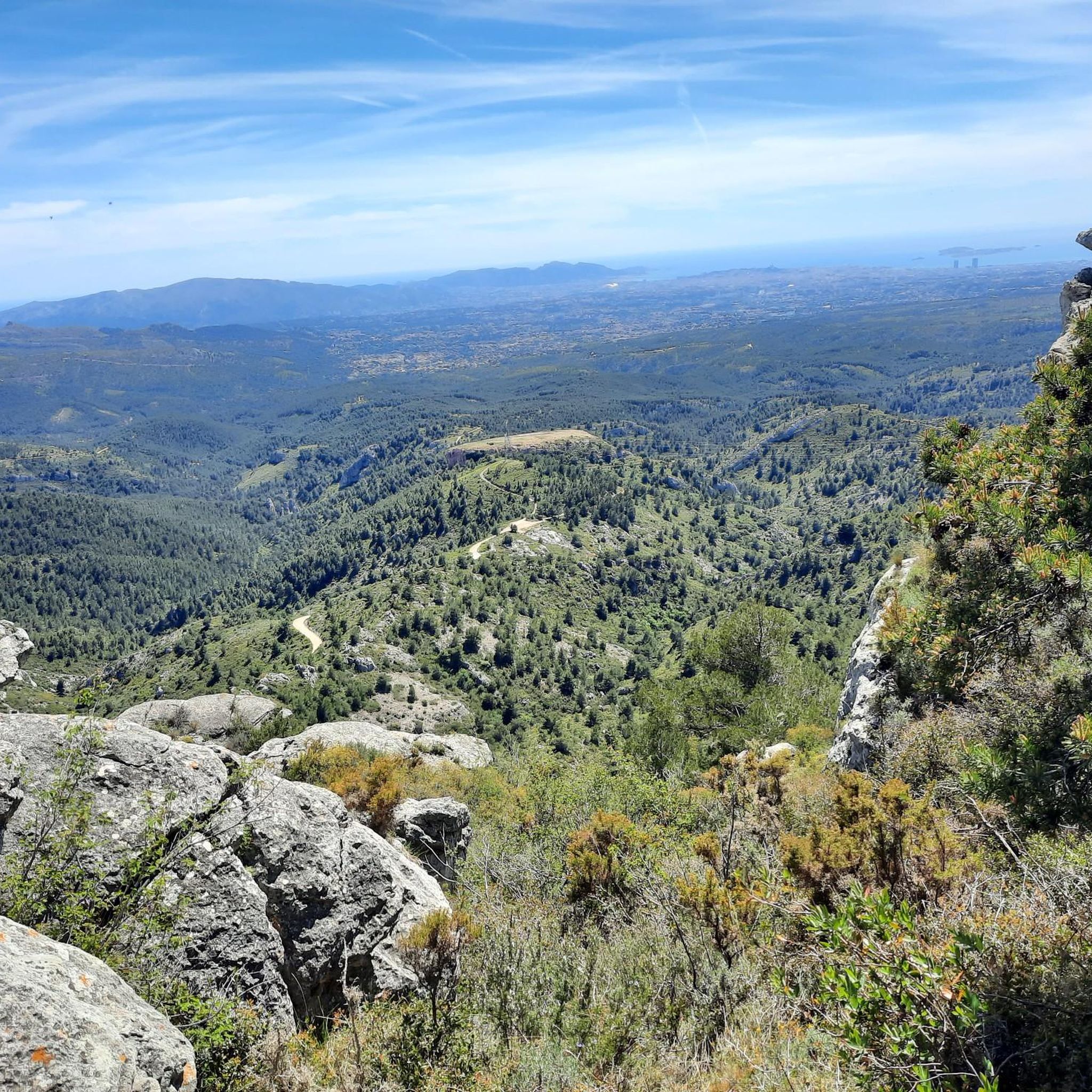
Incredible view of the Garlaban massif, Sainte Victoire, the Alps and Mont Ventoux!
0
0

Ruins of a castle built in 1150 and destroyed in 1593
0
0

Super nice descent, lots of turns, very few cars
0
0
artist Danielle Jacqui @ https://maps.app.goo.gl/kKVdiw7uCAUBXfxX7
0
0
Frequently Asked Questions
How many road cycling routes are available around Saint-Savournin?
There are over 160 road cycling routes around Saint-Savournin, offering a wide variety of options for different skill levels and preferences. These routes are highly rated by the komoot community, with an average score of 4.5 stars from more than 300 reviews.
Are there road cycling routes suitable for beginners or families in Saint-Savournin?
Yes, Saint-Savournin offers a good selection of routes suitable for those new to road cycling or looking for a more relaxed ride. You can find around 30 easy routes that navigate the region's beautiful valleys and less strenuous hills, providing a pleasant experience for all.
What kind of terrain can I expect on road cycling routes around Saint-Savournin?
The terrain around Saint-Savournin is quite diverse, situated at the foot of the Etoile Massif. You'll encounter a mix of rolling hills and scenic valleys, with both challenging ascents and enjoyable descents. Most routes feature well-paved surfaces, ensuring a smooth ride through the varied landscapes of Provence.
Are there challenging road cycling routes for experienced cyclists?
Absolutely. For experienced cyclists seeking a challenge, Saint-Savournin offers numerous difficult routes with substantial climbs and significant elevation gains. An example is the Village of Mazaugues – View of the Plateau loop from La Bouilladisse, a difficult 60.6-mile (97.5 km) path featuring expansive views.
What are some scenic viewpoints or landmarks I can see while road cycling?
While road cycling around Saint-Savournin, you can enjoy magnificent countryside views and discover notable landmarks. Keep an eye out for natural monuments like the Pilon du Roi, or explore the Domaine de la Font de Mai. The region also features various summits such as Le Garlaban and Tête du Grand Puech, offering stunning panoramas.
Are there circular road cycling routes available in Saint-Savournin?
Yes, many of the road cycling routes around Saint-Savournin are designed as loops, allowing you to start and finish at the same point. For instance, the popular Colorful mosaic house – Faux Plat Camp Major loop from Gréasque is a 33.6-mile (54.0 km) circular route that takes you through varied terrain.
What is the best time of year for road cycling in Saint-Savournin?
Given its location in Provence, Saint-Savournin generally offers pleasant cycling conditions for much of the year. Spring and autumn are often ideal, with milder temperatures and beautiful scenery. Summer can be warm, so early morning rides are recommended, while winter offers opportunities for crisp, clear rides, though some higher elevation areas might be cooler.
Can I find parking easily for road cycling routes in Saint-Savournin?
While specific parking areas for each route are not detailed, Saint-Savournin and its surrounding villages typically offer public parking options. It's advisable to check local parking availability in the starting towns of your chosen routes, such as Gréasque, La Bouilladisse, or Peypin, to ensure a convenient start to your ride.
Are there options for bike rental in Saint-Savournin or nearby?
While Saint-Savournin itself is a smaller village, its proximity to larger towns like Aubagne and Aix-en-Provence means you are likely to find bike rental services there. It's recommended to check with local tourism offices or search online for bike rental shops in these nearby urban centers before your visit.
What amenities are available for cyclists in Saint-Savournin and the surrounding area?
The charming villages around Saint-Savournin, characteristic of Provence, often provide amenities such as cafes, bakeries, and small shops where you can refuel and rest. Larger towns nearby will offer a wider range of services, including restaurants and accommodation options, making them good bases for longer cycling trips.
How long do road cycling routes typically take around Saint-Savournin?
The duration of road cycling routes varies significantly based on distance and difficulty. For example, a moderate route like Le Régage – Le Pigeonnier Climb loop from Peypin, which is about 30.9 miles (49.7 km), typically takes around 2 hours 29 minutes. More difficult and longer routes, such as the 60.6-mile (97.5 km) Village of Mazaugues – View of the Plateau loop from La Bouilladisse, can take over 4 hours.
Is public transport available to reach road cycling starting points in Saint-Savournin?
Saint-Savournin is part of the Bouches-du-Rhône department, which has a regional public transport network. While direct connections to specific trailheads might be limited, you can often reach Saint-Savournin or nearby towns by bus from larger hubs like Marseille or Aix-en-Provence. It's advisable to check local bus schedules and policies regarding bicycle transport.
Most popular routes around Saint-Savournin
Most popular attractions around Saint-Savournin

Get inspired with the komoot mobile app


Explore more
Browse the best Road cycling routes in other regions.
