The best cycling routes around Montalieu-Vercieu
4.3
(96)
832
riders
29
rides
Touring cycling routes around Montalieu-Vercieu are characterized by their location along the Rhône River, offering generally flat terrain and scenic views. The region features lush, green landscapes with glimpses of the Bugey mountains, providing a diverse backdrop for rides. Cyclists can explore paths that combine riverside trails with natural and historical sites, including sections of the ViaRhôna.
Best touring cycling routes around Montalieu-Vercieu
- The most popular touring cycling route is Groslée Bridge – Whitewater course loop from Montalieu - Vallée…
Last updated: October 1, 2026
4.7
(20)
177
riders
Moderate bike ride. Good fitness required. Mostly paved surfaces. Suitable for all skill levels.
4.4
(5)
70
riders
18.8km
01:06
80m
80m
Easy bike ride. Great for any fitness level. Mostly paved surfaces. Suitable for all skill levels.

4.3
(3)
44
riders
Hard bike ride. Very good fitness required. Mostly paved surfaces. Suitable for all skill levels.
38
riders
44.1km
02:52
490m
490m
Hard bike ride. Very good fitness required. Mostly paved surfaces. Suitable for all skill levels.
22
riders
22.8km
01:25
200m
200m
Moderate bike ride. Good fitness required. Mostly paved surfaces. Suitable for all skill levels.
Get access to more routes and recommendations from other explorers.
Already have an account?
Our route recommendations are based on thousands of hikes, rides, and runs completed by other people on komoot.
Start today with a free account
Your next adventure awaits.
Tips from the Community

The commune of Vertrieu, located in the department of Isère within the Balcons du Dauphiné, has the unique particularity of housing two major historical buildings: the Château Vieux (or Maison-Forte) and the Château Neuf (or Château Moderne).
0
0
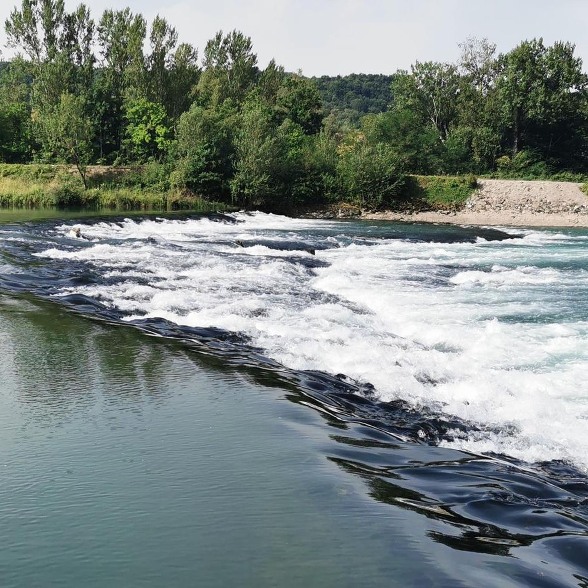
The Sault-Brénaz dam (also called Villebois dam or Sault-Brénaz facility) is an important hydroelectric infrastructure located on the Rhône River. It is situated on the border between the departments of Ain and Isère, mainly near the communes of Sault-Brénaz and Villebois. Commissioned in 1986, this structure was the last major facility built by the Compagnie Nationale du Rhône (CNR) on the upper Rhône.
0
0
The Sault-Brénaz dam (also called Villebois dam or Sault-Brénaz facility) is an important hydroelectric infrastructure located on the Rhône River. It lies on the border between the departments of Ain and Isère, mainly near the communes of Sault-Brénaz and Villebois. Commissioned in 1986, this structure was the last major development built by the Compagnie Nationale du Rhône (CNR) on the upper Rhône.
0
0

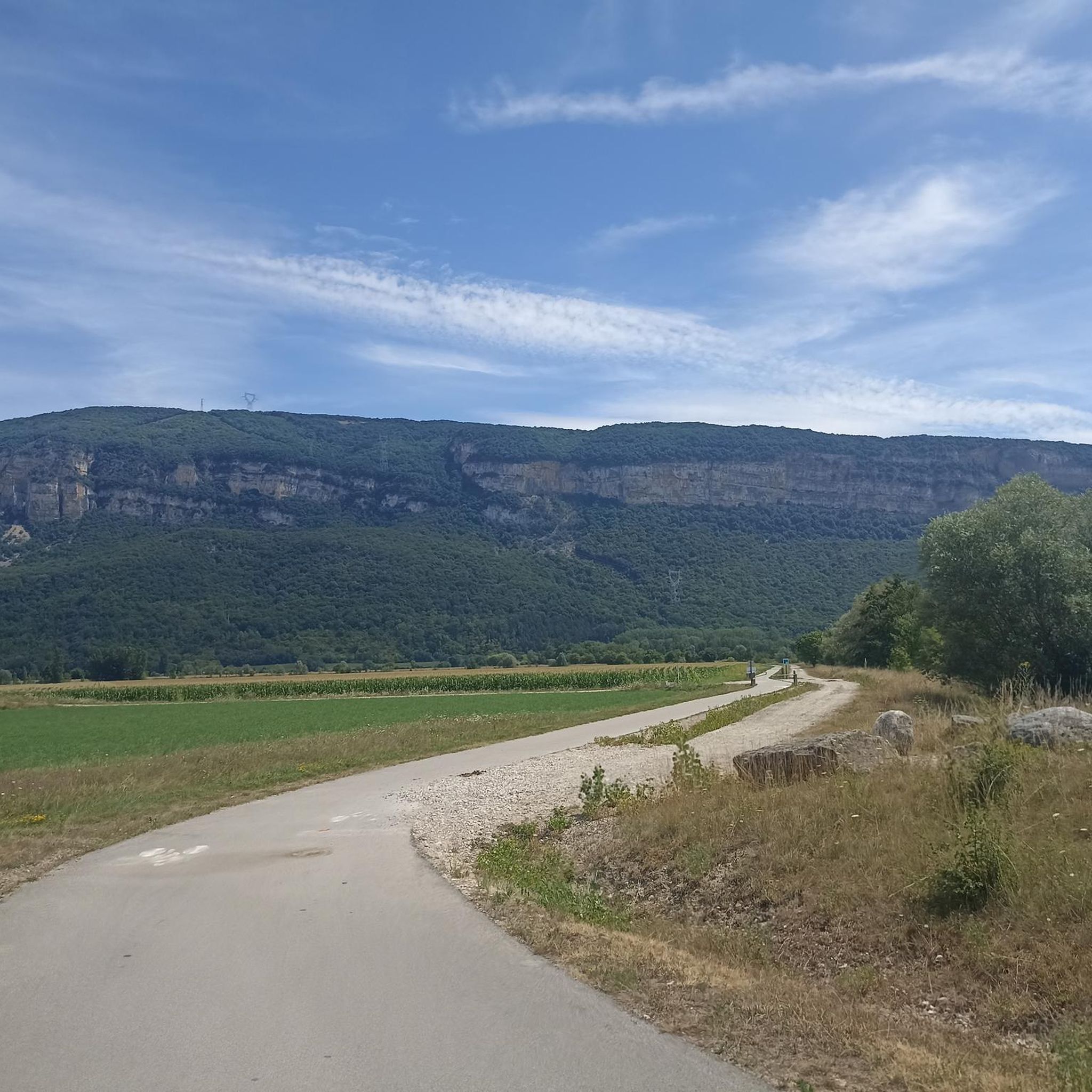
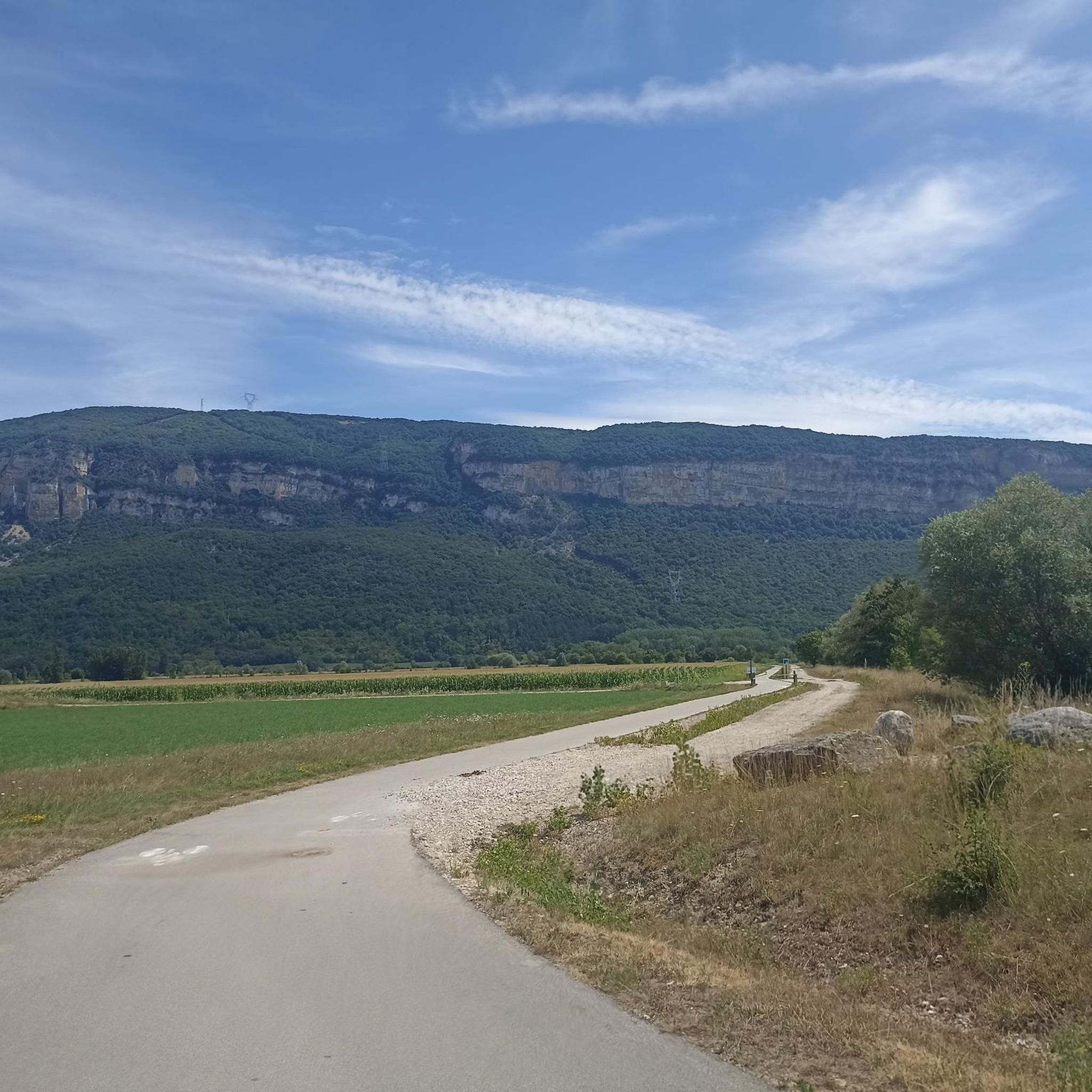
Beautiful, not too difficult with a bit of elevation gain and well shaded.
0
0

Leisure base opposite Bas Bugey. A pleasant stop, but strangely located between 2 nuclear power plants...
0
0
Located below the Château du Mollard, the Areymont spring was developed in 1838 with several basins and a large covered wash house, separated by the road. The nearby wayside cross dates from the 18th century. The Château du Molard, near the Place de la Halle, was built in the 16th century by the de la Forest and Paquelot families. The low arch of the entrance gate bears the date 1574 alongside the coats of arms of the two families. The Crozet family added a tower topped with a tall, pointed roof and two wings in 1878. https://patrimoines.ain.fr/n/saint-sorlin-en-bugey/n:393#:~:text=Le%20ch%C3%A2teau%20du%20Molard%2C%20pr%C3%A8s,et%20deux%20ailes%20en%201878.
0
0

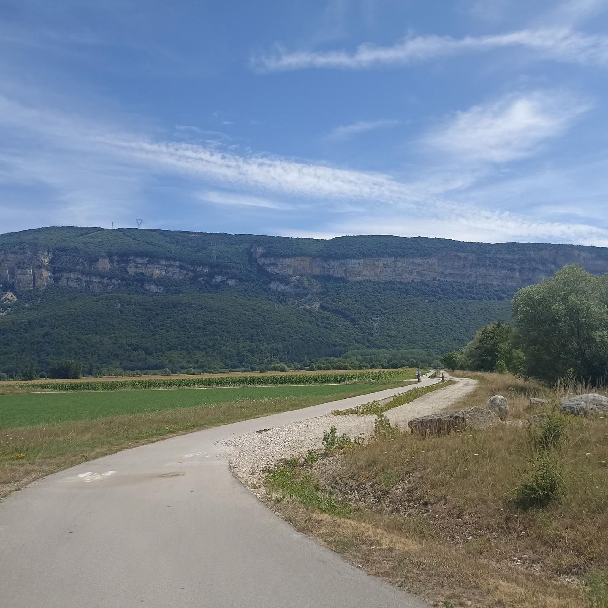
cycle path very busy in good weather
1
0

water point and toilets
0
0
Frequently Asked Questions
How many touring cycling routes are available around Montalieu-Vercieu, and what are their difficulty levels?
There are over 25 touring cycling routes around Montalieu-Vercieu. These include 6 easy routes, 8 moderate routes, and 12 difficult routes, catering to various skill levels.
Are there any circular touring cycling routes in the Montalieu-Vercieu area?
Yes, many routes in the region are designed as loops. For example, the Groslée Bridge – Whitewater course loop from Montalieu - Vallée Bleue offers a challenging 97.9 km ride, while the easier Whitewater course – Sault-Brénaz Dam loop from Montalieu-Vercieu is 17.8 km along the Rhône.
What natural features or landmarks can I see along the touring cycling routes?
The routes offer diverse scenery, including views of the Rhône River and the Bugey mountains. You can also discover specific landmarks such as the beautiful Brive Waterfall with its turquoise pool, or the historic La Balme Caves. The View of Vertrieu castle – View of the Saut du Rhône loop from Montalieu - Vallée Bleue route provides scenic views of Vertrieu Castle from across the Rhône.
Are there any touring cycling routes suitable for families or beginners?
Absolutely. The region offers several easy routes perfect for families or those new to touring cycling. The Whitewater course – Sault-Brénaz Dam loop from Montalieu-Vercieu is an easy 17.8 km path featuring riverside cycling along the Rhône, ideal for a relaxed family outing.
Where can I rent a bike or get repairs in Montalieu-Vercieu?
The Vallée Bleue Leisure Park is a great resource. It hosts Espace Bike, which provides bicycle rentals, including electric bikes, mountain bikes, and hybrid bikes. They also offer accessories and repair services, making it convenient for touring cyclists.
What is the best time of year to go touring cycling in Montalieu-Vercieu?
The region's lush, green landscapes and riverside paths are particularly enjoyable during spring and autumn when the weather is mild. Summer also offers pleasant conditions, especially for routes along the Rhône where you can enjoy the cooling breeze.
Are there any routes that pass by waterfalls or offer opportunities for wild swimming?
Yes, the Brive Waterfall is a notable natural attraction with a turquoise pool, providing a serene spot to cool off. You can explore routes like the La Roche Waterfall – La Vanne d'Optevoz loop from Montalieu - Vallée Bleue to experience the area's natural beauty.
What do other touring cyclists say about the routes in Montalieu-Vercieu?
The touring cycling routes in Montalieu-Vercieu are highly rated by the komoot community, with an average score of 4.2 stars from over 70 reviews. Cyclists often praise the scenic views along the Rhône, the varied terrain, and the well-maintained paths that combine natural beauty with historical sites.
Are there any long-distance cycling routes that pass through Montalieu-Vercieu?
Yes, the ViaRhôna, a significant long-distance cycling route, passes directly through Montalieu-Vercieu. This route offers scenic rides along the Rhône River and allows for varied cycling experiences combined with nature trails and local heritage discovery.
Are there any specific routes that explore the industrial or historical heritage of the region?
The 'Tour of the Blue Valley' (Le Tour de la Vallée Bleue) is a recommended cycling loop that combines the ViaRhôna with nature trails. This route allows cyclists to explore the natural and industrial heritage of the region, including the medieval site of Quirieu. You can find more information on this route via balconsdudauphine-tourisme.com.
Are there any challenging touring cycling routes for experienced riders?
For experienced riders seeking a challenge, there are several difficult routes. The Groslée Bridge – Whitewater course loop from Montalieu - Vallée Bleue is a demanding 97.9 km trail with significant elevation changes, offering a rewarding experience. Another challenging option is the Lac d'Ambléon – Quirieu loop from Montalieu - Vallée Bleue, which covers 80.5 km.
What are the typical distances of touring cycling routes in Montalieu-Vercieu?
The routes vary significantly in distance. You can find shorter, easy rides like the 17.8 km Whitewater course – Sault-Brénaz Dam loop from Montalieu-Vercieu, or longer, more challenging tours such as the 97.9 km Groslée Bridge – Whitewater course loop from Montalieu - Vallée Bleue. There are options for all preferences, from short excursions to full-day adventures.
Most popular routes around Montalieu-Vercieu
Most popular attractions around Montalieu-Vercieu

Get inspired with the komoot mobile app


Explore more
Browse the best Cycling routes in other regions.
