The best running trails around Saint-Christophe-En-Oisans
4.2
(60)
8,224
runners
174
runs
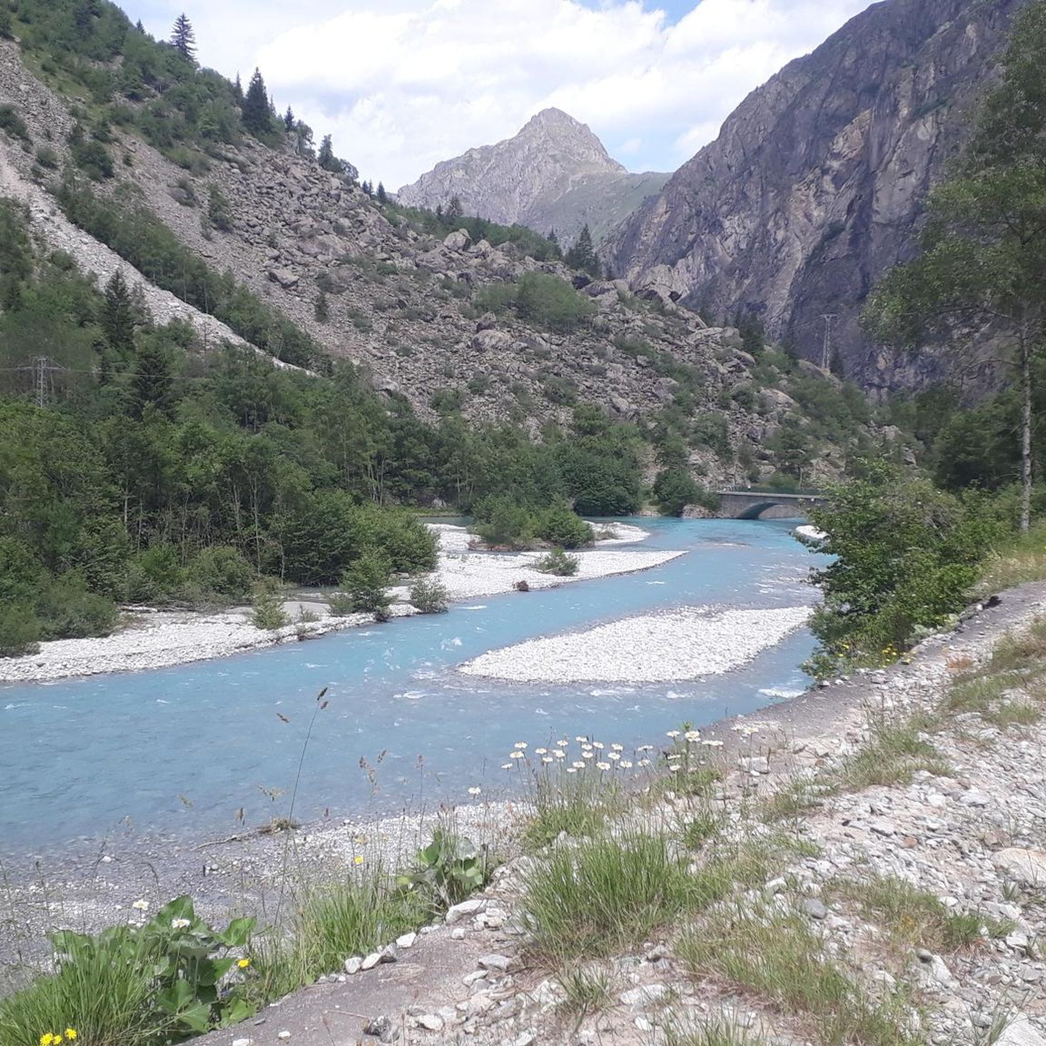
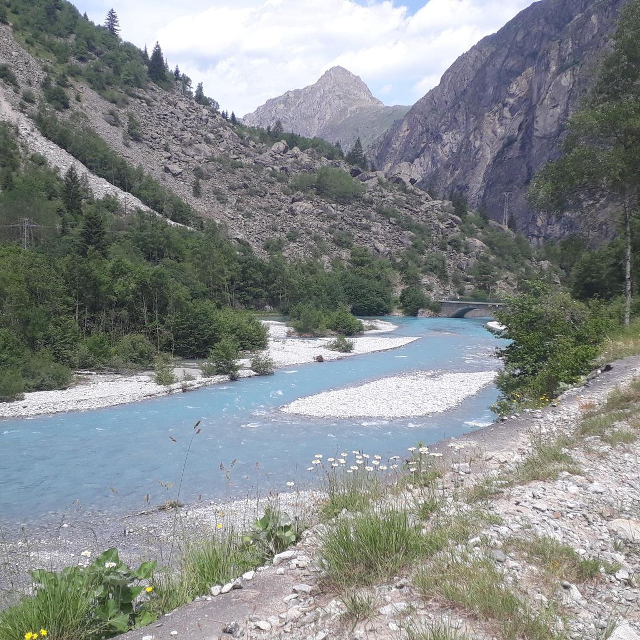
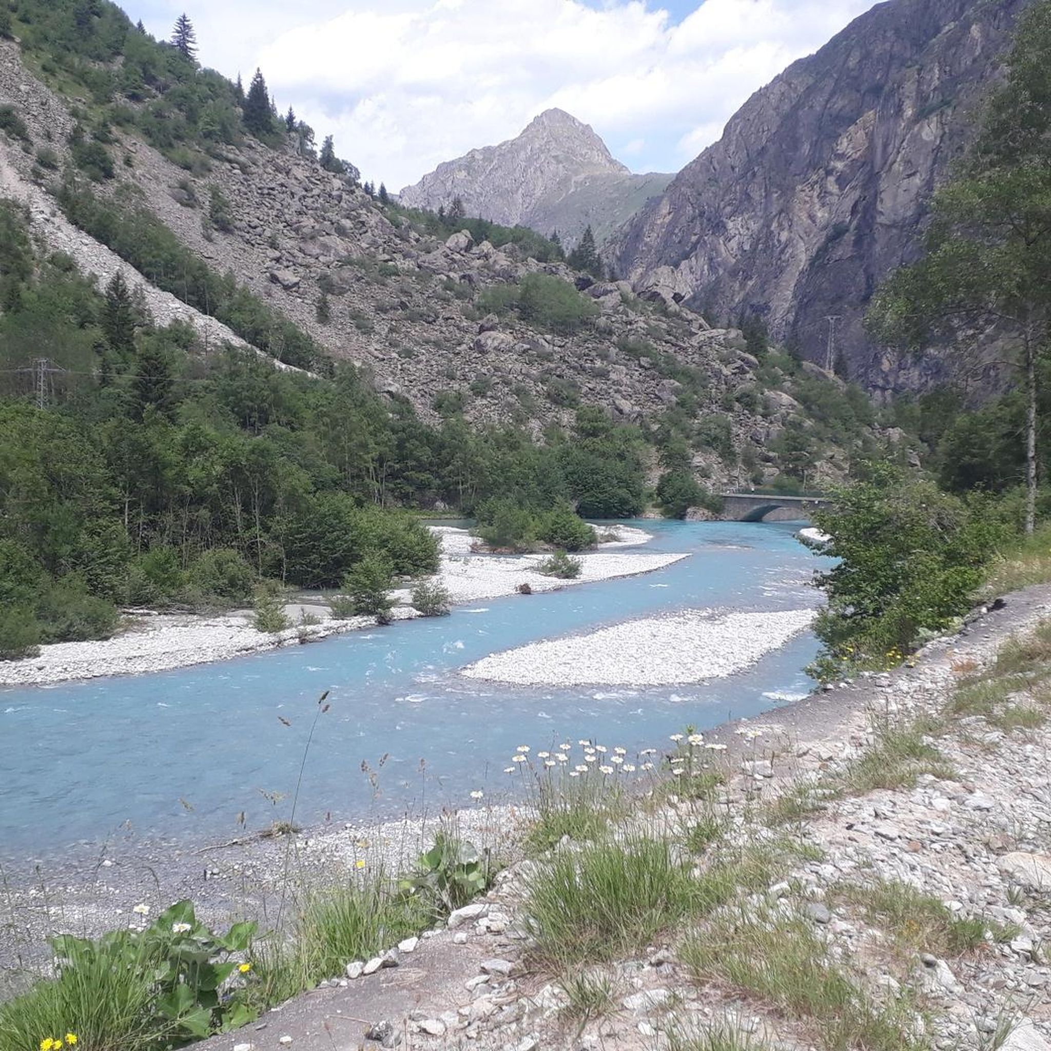
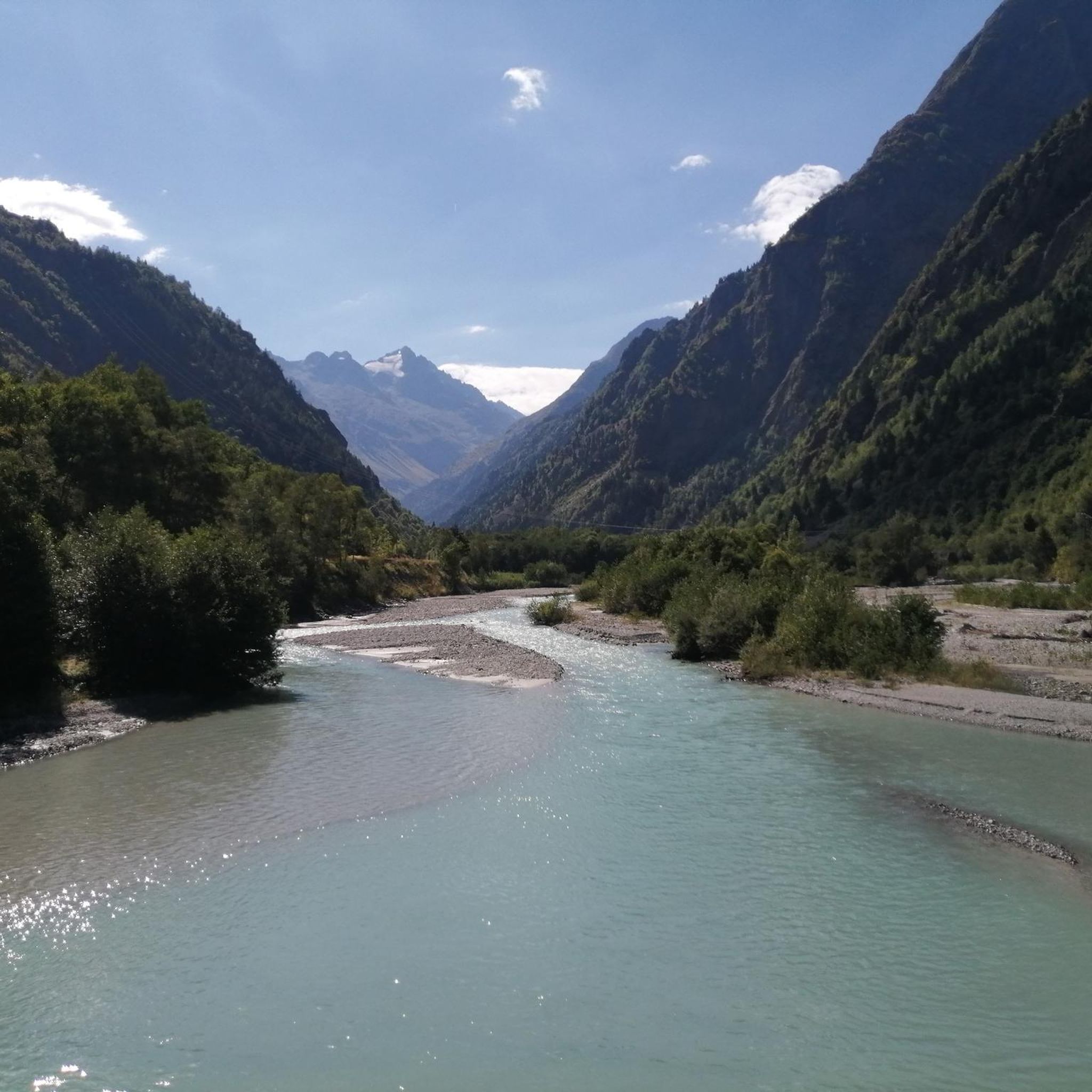
Jogging around Saint-Christophe-En-Oisans offers routes through the heart of the Ecrins National Park, characterized by its dramatic alpine landscape and the Vénéon valley. The region features high-altitude lakes, numerous torrents, and a backdrop of peaks exceeding 3,000 meters. Joggers can explore a mix of environments, from riverside paths to challenging ascents leading to mountain passes. An extensive network of marked trails provides varied terrain for all levels of running.
Best jogging routes around Saint-Christophe-En-Oisans
- The most popular jogging route is…
Last updated: October 4, 2026
4.5
(8)
568
runners
15.0km
02:02
470m
460m
Hard run. Very good fitness required. Sure-footedness, sturdy shoes and alpine experience required.
153
runners
4.74km
01:03
440m
440m
Hard run. Very good fitness required. Sure-footedness, sturdy shoes and alpine experience required.

199
runners
32.8km
05:37
2,350m
2,350m
Hard run. Very good fitness required. Sure-footedness, sturdy shoes and alpine experience required.
117
runners
17.9km
02:51
1,030m
1,030m
Hard run. Very good fitness required. Mostly paved surfaces. Suitable for all skill levels.
104
runners
Hard run. Very good fitness required. Sure-footedness, sturdy shoes and alpine experience required.
Get access to more routes and recommendations from other explorers.
Already have an account?
Our route recommendations are based on thousands of hikes, rides, and runs completed by other people on komoot.
Start today with a free account
Your next adventure awaits.
Popular around Saint-Christophe-En-Oisans

Tips from the Community

Magnificent spot in the Deux Alpes resort with the possibility of going down by cable car.
0
0

Magnificent view, no difficulty on the way
0
0

The climb up to the town is great but the place itself is a bit of an over-commercialised, purpose-built tourist trap. Enjoy the climb, grab a coffee then get out of there!
0
0

Very good bike park for all levels
1
0

Nice view of the Vénéon valley from the Oxygen hiking trail
0
0
Nice view of the Vénéon valley from the Oxygen hiking trail with some spectacular views of the Muzelle peak.
0
0

Protection zone for the black tetra. Don't go off route, especially in winter.
0
0

The trails here offer a diverse and exciting mountain biking experience. While in the saddle, find a route that you like. There's something for all types of cyclists, whether you're looking for a leisurely Sunday ride or want a big challenge.
0
0
Frequently Asked Questions
How many running trails are available in Saint-Christophe-En-Oisans?
The Saint-Christophe-En-Oisans area offers an extensive network of over 170 marked trails, providing a wide variety of options for joggers and trail runners. These routes span over 200 kilometers, catering to different levels of difficulty.
What kind of terrain can I expect on the running routes in Saint-Christophe-En-Oisans?
You can expect a diverse range of terrain, from gentle riverside paths along the Vénéon river to more challenging ascents leading to high-altitude lakes and mountain passes. The region is characterized by its dramatic alpine landscape within the Ecrins National Park, offering a mix of forest trails, rocky paths, and quiet roads with stunning views of peaks exceeding 3,000 meters.
Are there any easy jogging routes in Saint-Christophe-En-Oisans suitable for beginners?
While many routes in the area are challenging, there are a few easier options available. The region offers 3 routes classified as easy, which are generally shorter and have less elevation gain, perfect for those new to trail running or looking for a more relaxed jog.
Are there challenging trail running options for experienced runners?
Absolutely. Saint-Christophe-En-Oisans is a paradise for experienced trail runners, with 133 routes classified as difficult. These routes often feature significant elevation changes and cover longer distances through rugged alpine terrain. For example, the Lac de la Buissonnière – Les Deux Alpes loop from Les Deux Alpes is a challenging 21.1 km trail with over 1,300 meters of elevation gain.
Can I find circular running routes in the area?
Yes, many of the running routes in Saint-Christophe-En-Oisans are circular, allowing you to start and finish at the same point. This is convenient for planning your run. An example of a challenging circular route is the The Poyas loop from Les Deux Alpes, which offers panoramic views.
Are there any scenic lakes I can run to in Saint-Christophe-En-Oisans?
The region boasts stunning high-altitude lakes that make for rewarding running destinations. Lake Lauvitel, the largest lake in the Ecrins National Park, is a popular choice, requiring a scenic run through forests. Another notable body of water is Lac de l'Eychauda, a natural glacial lake. You can also find routes leading to Lac du Chambon and Lake Douche.
Can I find routes with waterfalls in Saint-Christophe-En-Oisans?
Yes, the Vénéon valley is accompanied by numerous torrents and waterfalls. You can discover several beautiful waterfalls along the running trails, such as the Pisse Waterfall, Cascade de la Pisse, and the Bridal Veil Waterfall, adding picturesque elements to your run.
What natural landmarks can I see while running in the Oisans region?
While running in Saint-Christophe-En-Oisans, you'll be surrounded by majestic natural landmarks. The area is at the heart of the Ecrins massif, with a constant backdrop of peaks like La Meije, Les Écrins, and La Dibona. You can also encounter the clear waters of the Vénéon river, high-altitude lakes, and even the Mantel glacier. Significant mountain passes like Col du Lautaret and Sarenne Pass offer challenging climbs and panoramic views.
What do other runners say about the trails in Saint-Christophe-En-Oisans?
The running routes in Saint-Christophe-En-Oisans are highly rated by the komoot community, with an average score of 4.4 stars from 50 reviews. Runners often praise the breathtaking alpine scenery, the variety of terrain, and the immersive natural experience within the Ecrins National Park.
What are the best times of year for running in Saint-Christophe-En-Oisans?
The best time for running in Saint-Christophe-En-Oisans is typically from late spring through early autumn (May to October) when the trails are clear of snow and the weather is most favorable. During these months, you can enjoy the full network of trails, including high-altitude routes. Winter running is possible but requires specialized gear and knowledge of snow conditions.
Is public transport available to access the running trails?
While specific public transport details for every trailhead can vary, the region does have some public transport options that can help you access various points in the Vénéon valley and surrounding areas. It's advisable to check local bus schedules for routes connecting villages and trail access points within the Oisans region.
Are there parking facilities near the running trailheads?
Yes, parking facilities are generally available in the villages and near popular trailheads throughout Saint-Christophe-En-Oisans and the wider Oisans region. Many routes, especially those starting from villages like Les Deux Alpes or Venosc, will have designated parking areas. For example, routes like The Poyas loop from Venosc would typically have parking nearby.
Are the running trails in Saint-Christophe-En-Oisans suitable for families?
The suitability for families depends on the specific route and the family's experience level. While many trails are challenging, there are easier, shorter paths along the Vénéon river or in lower valleys that could be suitable for families looking for a gentle jog or walk. Always check the route's distance, elevation, and difficulty before heading out with children.
Most popular routes around Saint-Christophe-En-Oisans
Most popular attractions around Saint-Christophe-En-Oisans

Get inspired with the komoot mobile app


Explore more
Browse the best Running Trails & Routes in other regions.
