The best walks and hikes around Saint-Christophe-En-Oisans
4.5
(417)
3,592
hikers
35
hikes
Hiking around Saint-Christophe-En-Oisans offers access to the heart of the Écrins National Park, a region characterized by dramatic alpine landscapes. The area features high mountains, glaciers, and torrents, with the wild Vénéon valley carving through its center. This environment provides a diverse network of trails, ranging from valley walks to challenging high-mountain ascents.
Best hiking trails around Saint-Christophe-En-Oisans
- The most popular hiking route is Glacier de la Pilatte Gate loop from Réserve naturelle de la haute vallée du Vénéon,…
Last updated: October 12, 2026
4.8
(21)
106
hikers
Hard hike. Very good fitness required. Mostly accessible paths. Sure-footedness required.
4.9
(23)
186
hikers
11.6km
03:24
310m
320m
Moderate hike. Good fitness required. Mostly accessible paths. Sure-footedness required.

4.8
(4)
128
hikers
10.8km
06:10
1,070m
1,070m
Hard hike. Very good fitness required. Sure-footedness, sturdy shoes and alpine experience required.
4.9
(25)
103
hikers
Moderate hike. Good fitness required. Mostly accessible paths. Sure-footedness required.
4.4
(9)
54
hikers
8.64km
04:18
620m
620m
Moderate hike. Good fitness required. Mostly accessible paths. Sure-footedness required.
Get access to more routes and recommendations from other explorers.
Already have an account?
Our route recommendations are based on thousands of hikes, rides, and runs completed by other people on komoot.
Start today with a free account
Your next adventure awaits.
Popular around Saint-Christophe-En-Oisans


Tips from the Community

In memory of this martyred and disfigured city in June 2024
0
0

La Bérarde was almost completely destroyed by the Vénéon flood in June 2024. It is not clear whether it can be rebuilt because a similar event could possibly occur again. Access is closed to non-residents (as of September 2024).
1
2

Very beautiful waterfalls.
0
0

La Bérarde from Les Clapiers is 27.3 km long with a total drop of 964 m. The average gradient is 3.53% with maximum gradients of 11%. The climb takes you into the heart of the Ecrins massif and it is a road with little traffic. The views along the climb are breathtaking and you can even hear the sound of marmots during the summer months.
1
0

If you consume something here, you can also eat the picnic you have brought with you.
0
0
The CAF hut allows you to bring your own picnic if each person also consumes something from the hut
0
0

Lovely village with a shop and a couple of restaurants/cafes to refuel after the climb up and before the beautiful, fun descent.
0
0
Frequently Asked Questions
How many hiking trails are there in Saint-Christophe-En-Oisans?
Saint-Christophe-En-Oisans offers a diverse network of over 30 hiking trails. These routes vary in difficulty, providing options from easier walks to challenging high-mountain ascents within the Écrins National Park.
What kind of terrain can I expect on hikes in Saint-Christophe-En-Oisans?
The terrain in Saint-Christophe-En-Oisans is dramatically alpine, characterized by high mountains, glaciers, and torrents. You can expect paths traversing rocky slopes, lush valley floors, and sometimes snowfields, with significant elevation changes. The wild Vénéon valley is a central feature, with its turbulent river and impressive geological formations.
What are the difficulty levels of hiking trails in Saint-Christophe-En-Oisans?
The trails around Saint-Christophe-En-Oisans cater to various skill levels. Out of 30 routes, there is 1 easy trail, 11 moderate trails, and 18 difficult trails. This range allows for everything from leisurely valley walks to strenuous, multi-day alpine expeditions.
Are there any waterfalls or lakes to see on the trails?
Yes, the region is rich in natural water features. You'll find numerous waterfalls cascading down mountainsides and beautiful high-mountain lakes. A notable example is Lake Lauvitel, the largest lake in the Écrins National Park, which offers spectacular views after a challenging hike.
Are there any notable landmarks or viewpoints along the hiking routes?
Absolutely. Hikers can discover several impressive landmarks and viewpoints. The hamlet of La Bérarde is a significant starting point for many routes and offers an 'end-of-the-world' charm. You can also find stunning vistas like the Dreamlike view of the Meije massif, or explore mountain passes such as Lautaret Pass and Sarenne Pass.
Are there family-friendly hiking options in Saint-Christophe-En-Oisans?
While many trails are challenging, there are options suitable for families, particularly the easier walks found along the valley floors. These routes often provide beautiful scenery without significant elevation gain, allowing for a more relaxed experience for all ages.
Can I bring my dog on the hiking trails?
Saint-Christophe-En-Oisans is located within the Écrins National Park. While dogs are generally allowed on leash in certain areas, specific regulations apply within the core zone of the National Park to protect wildlife. It's advisable to check the park's official guidelines for the specific trail you plan to hike.
Are there circular hiking routes available?
Yes, many of the trails in Saint-Christophe-En-Oisans are designed as circular routes, allowing you to start and finish at the same point. For example, the Glacier de la Pilatte Gate loop from Réserve naturelle de la haute vallée du Vénéon is a popular circular option leading towards glacial features.
Where can I find parking for hiking trails in Saint-Christophe-En-Oisans?
Parking is generally available at key trailheads and villages such as Saint-Christophe-En-Oisans itself or the hamlet of La Bérarde. Given the alpine environment, it's always recommended to arrive early, especially during peak season, to secure a spot.
Is public transport available to reach hiking trailheads?
Public transport options to reach trailheads in this high-alpine region can be limited, especially outside of peak summer months. It's best to check local bus schedules or consider carpooling if you plan to rely on public transport to access more remote starting points.
Are there mountain refuges for multi-day treks?
Yes, a network of mountain refuges is available, providing essential stops for multi-day treks and opportunities to immerse deeper into the alpine environment. Notable refuges include Refuge de la Pilatte, Refuge de Temple-Écrins, and Refuge du Carrelet. The Lavey Refuge loop from Champhorent is an example of a route that leads to one of these refuges.
What makes the Vénéon Valley special for hikers?
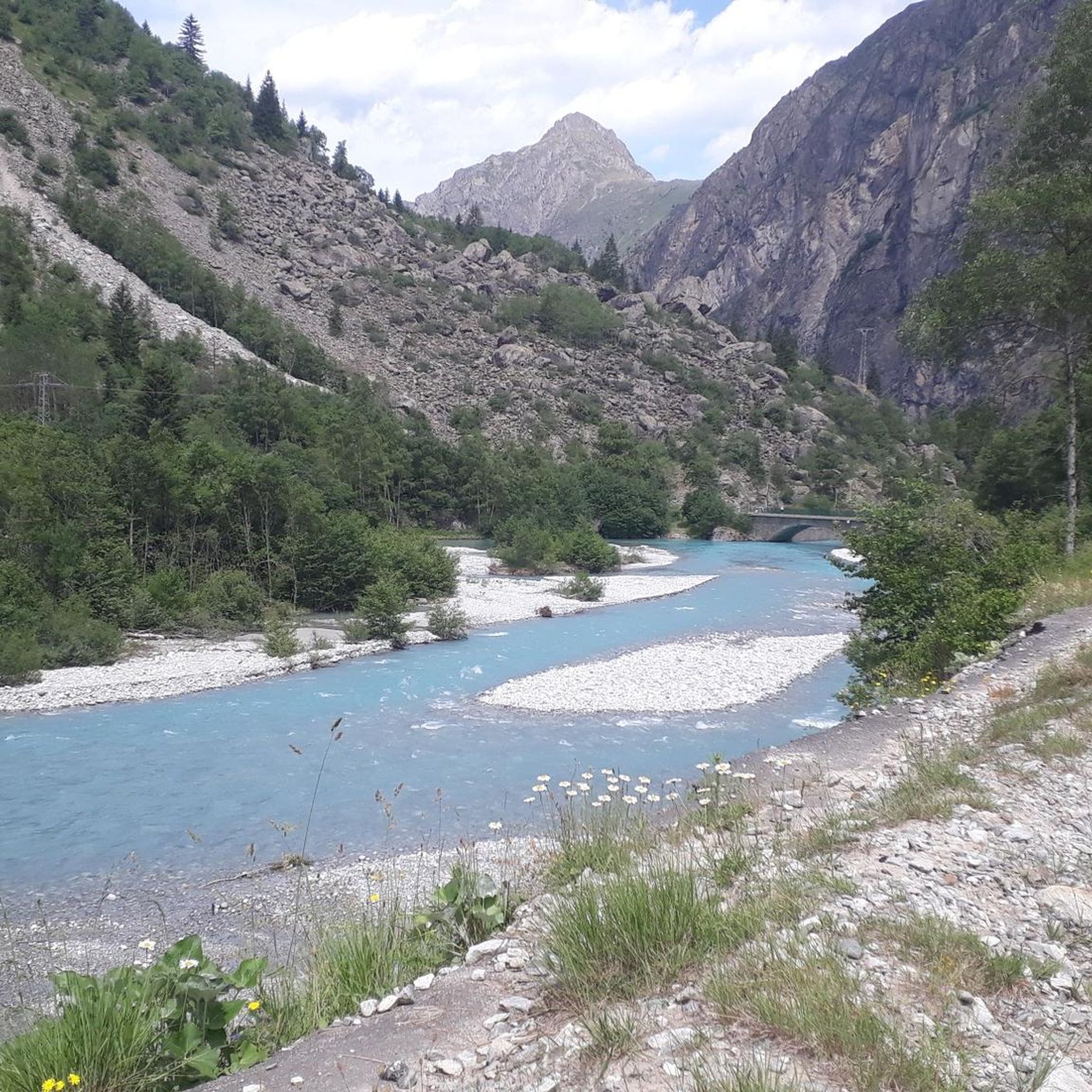
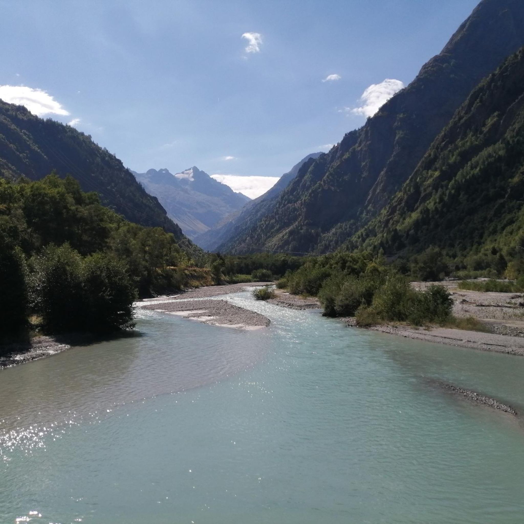
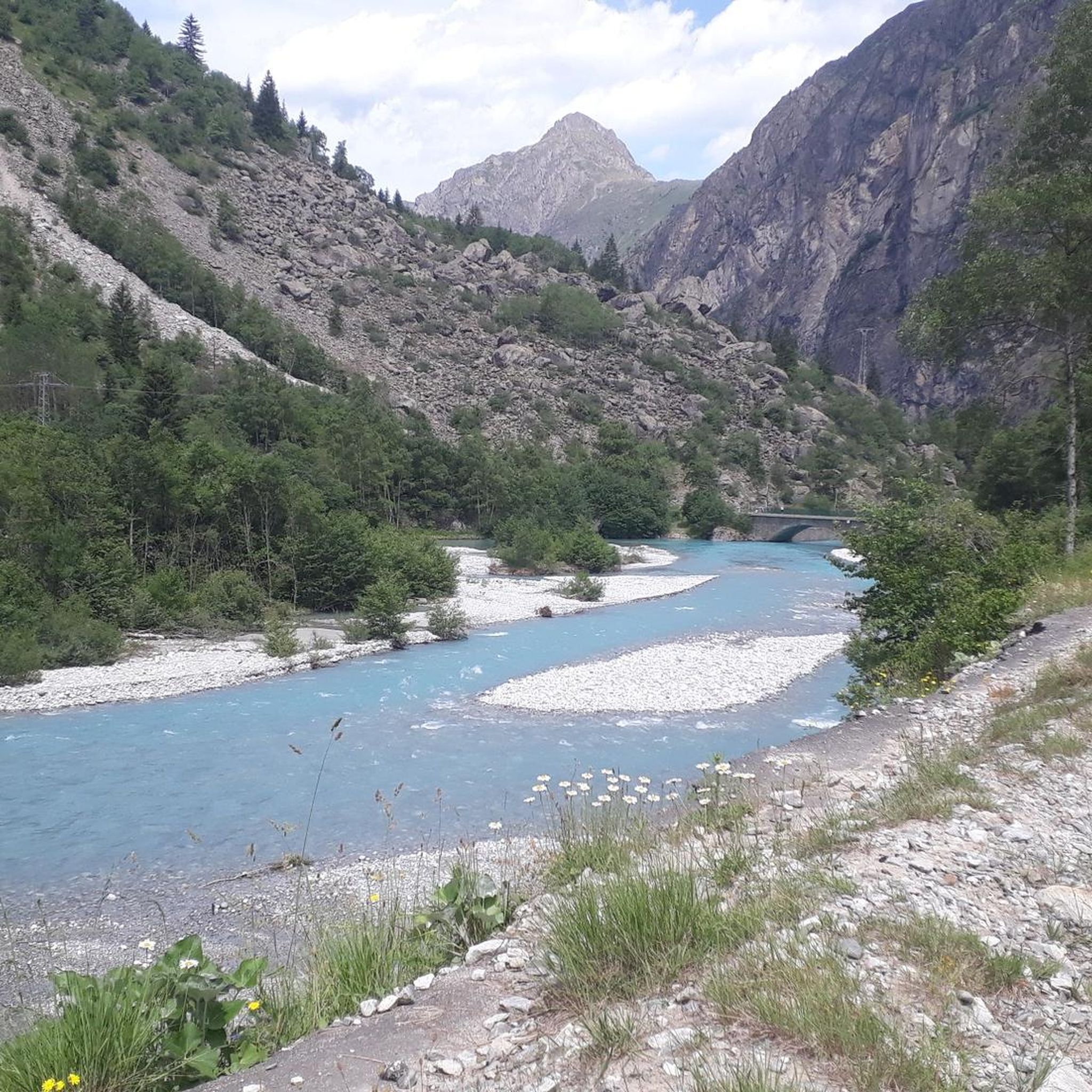
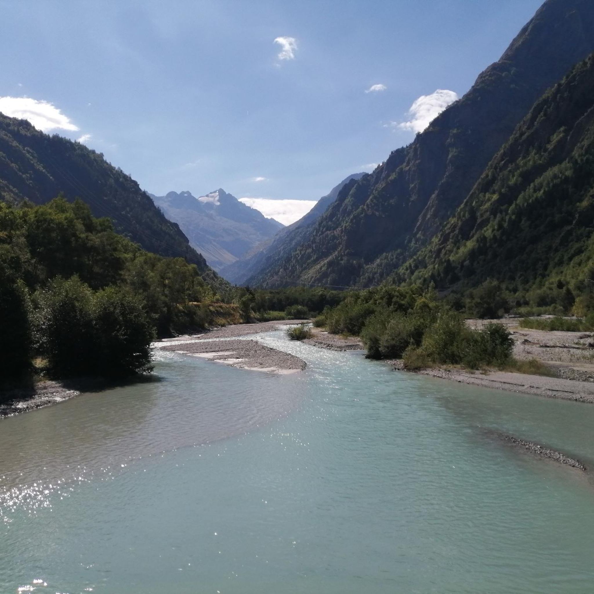
The Vénéon Valley is renowned for its wild and untamed beauty, offering magnificent views of the Écrins massif. The turbulent, turquoise-blue Vénéon river carves its way through the valley, creating a dynamic and picturesque landscape often accompanied by waterfalls. It provides a central element to many hiking experiences in the region.
Most popular routes around Saint-Christophe-En-Oisans
Most popular attractions around Saint-Christophe-En-Oisans

Get inspired with the komoot mobile app


Explore more
Browse the best Hikes in other regions.
